Team-BHP
(
https://www.team-bhp.com/forum/)
Interesting! Where does the road go from the Bhutan border? Does it link up with any arterial road inside Bhutan? Is this going to be one of the official entry points into Bhutan - will tourists be admitted through this gate?
If something's wrong in wiki, you can always correct it! That's how wiki works afterall.
Quote:
Originally Posted by hvkumar
(Post 1647046)
Interesting! Where does the road go from the Bhutan border? Does it link up with any arterial road inside Bhutan? Is this going to be one of the official entry points into Bhutan - will tourists be admitted through this gate?
|
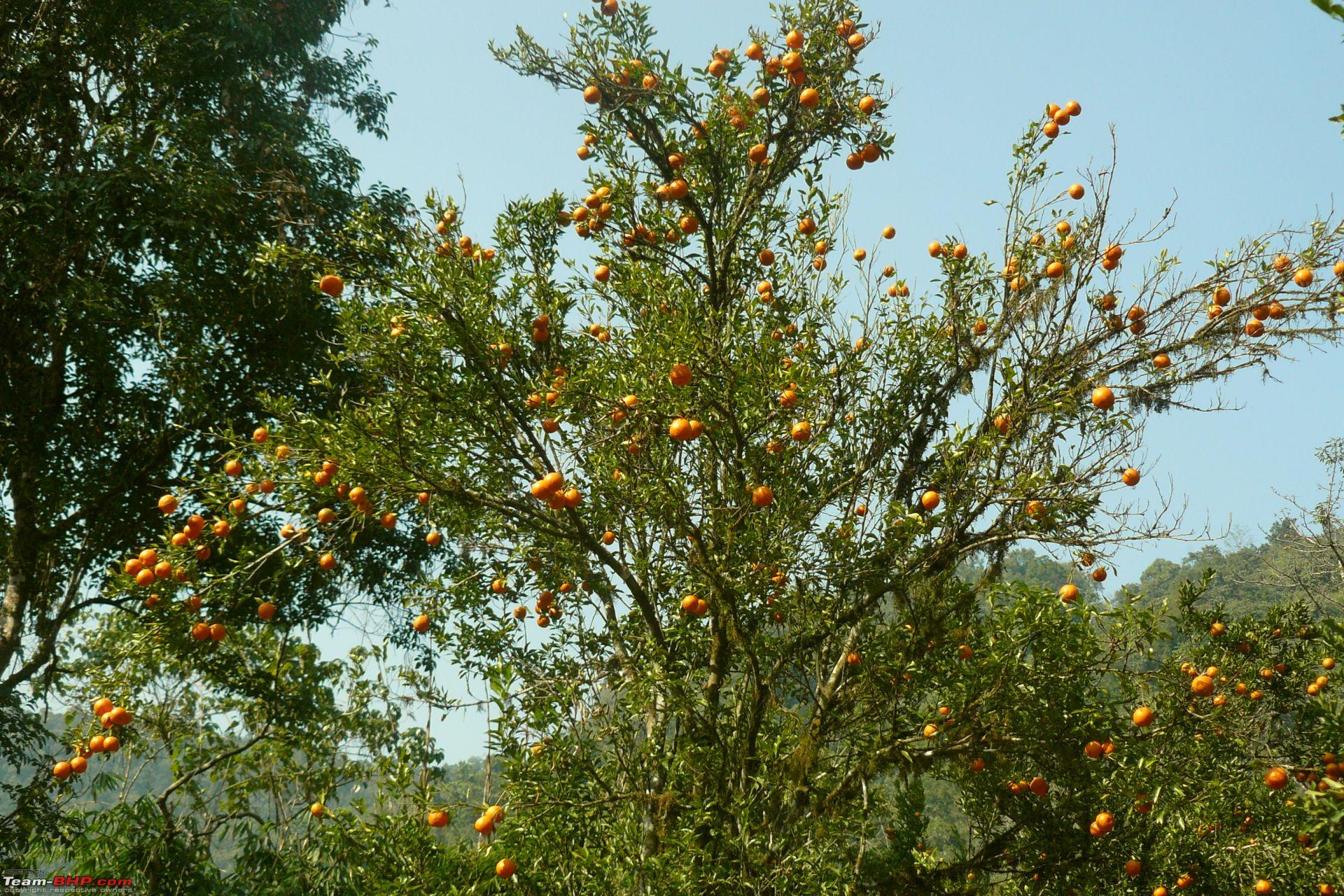
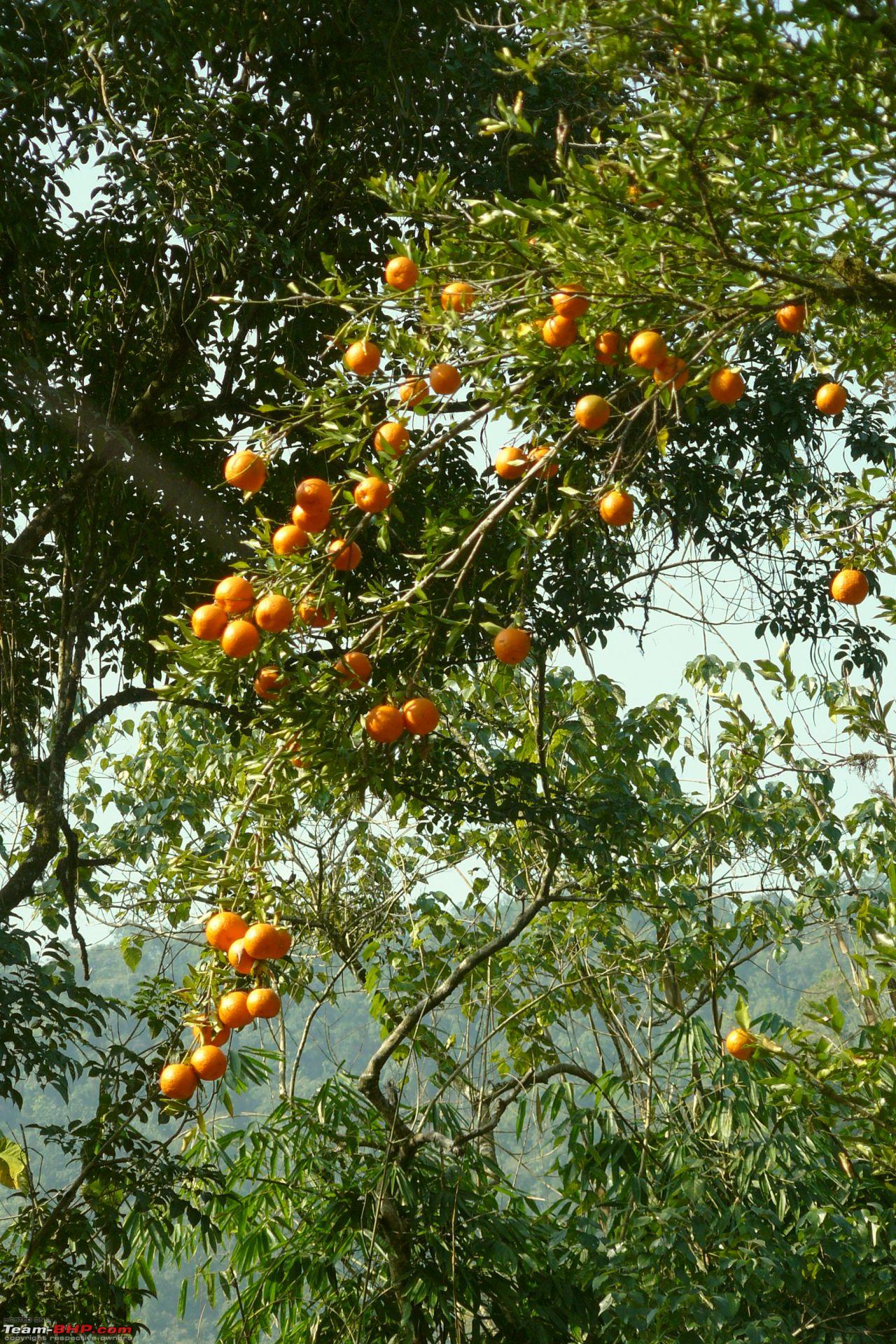
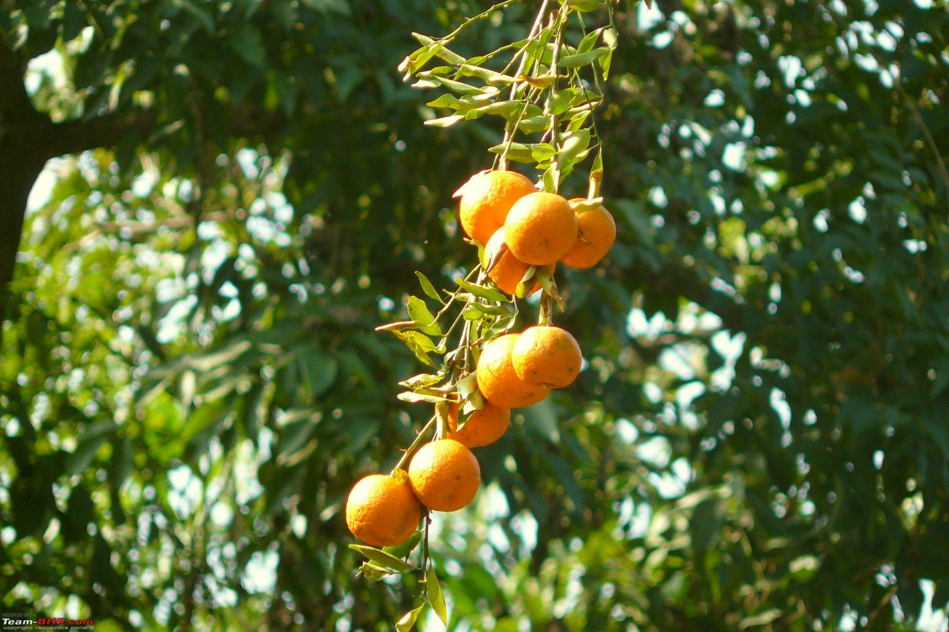
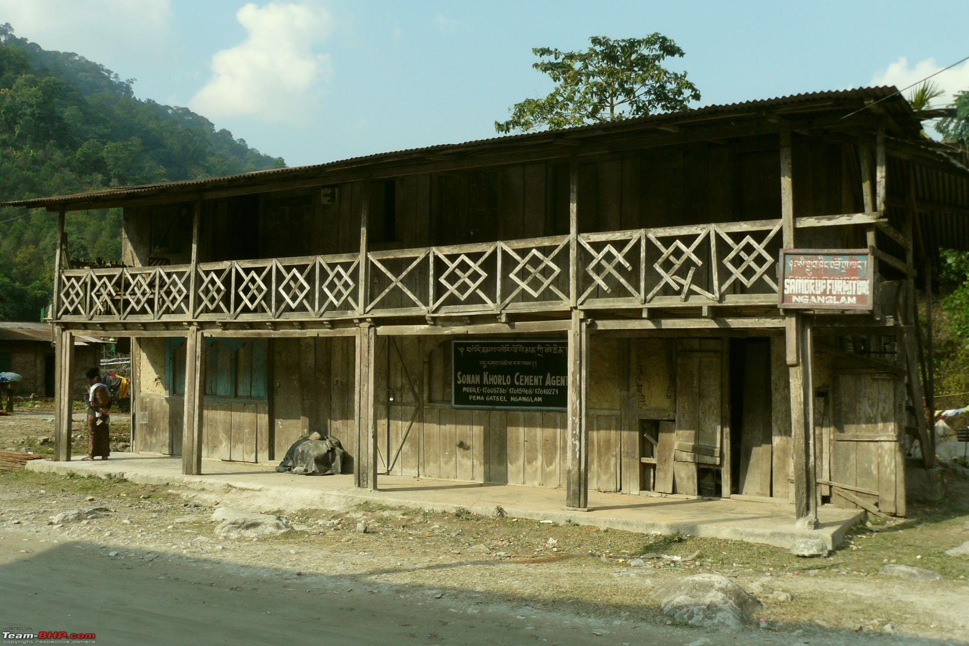
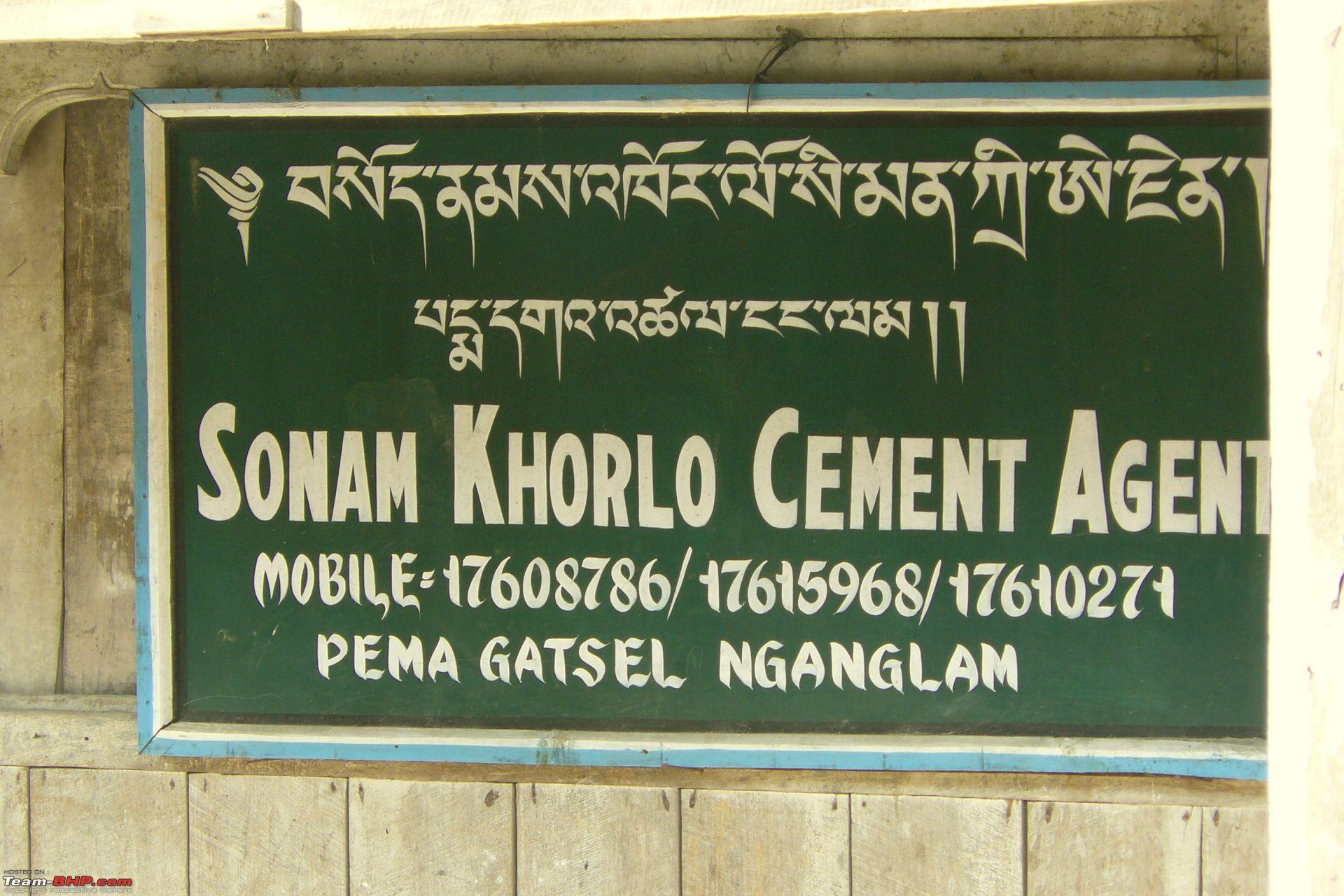
There was that gravel road from the Nganglam onward. We didn't travel beyond the orange orchard but asked the person there if one could reach Thimphu taking that road. According to him the road does get to Pemagatsel but he could not tell me whether there was a motorable link with the Samdrup Jonkhar -Trashigang road or not. It seems that for the people of Nganglam taking NH31 from Pathsala makes better sense to travel to Phuentsholing or Samdrup Jonkhar.
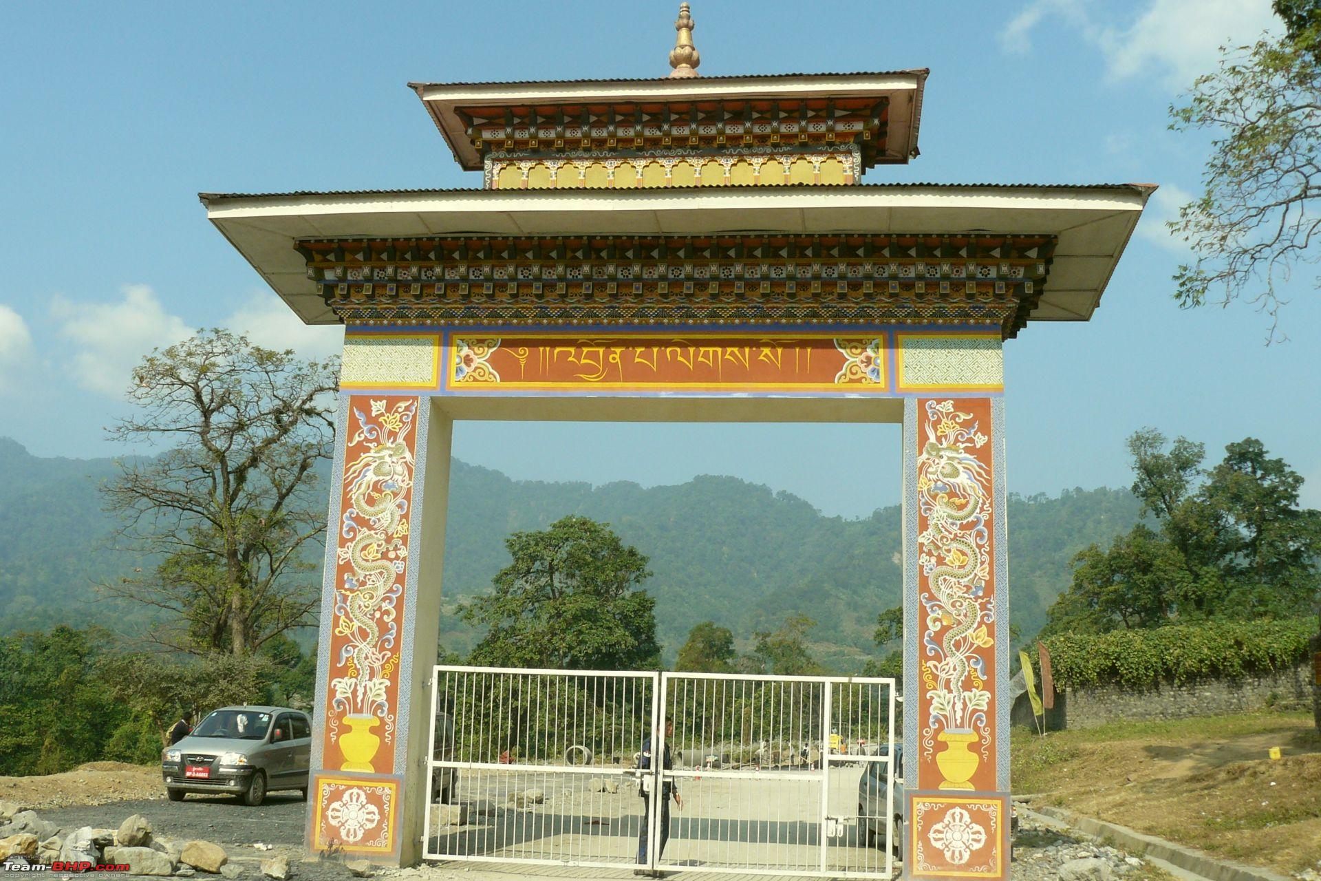
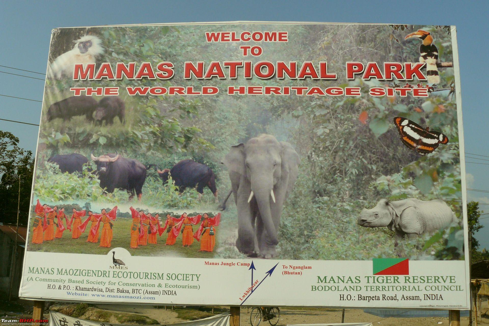
I think plans are afoot to make it an entry point into Bhutan, at least for the sake of cement export. Enterprising Bodoland youths are trying to attract tourists for a tour encompassing Manas National Park and Bhutan Border. From Bhutan side however tourism promotional efforts were not seen. Our entry passes were in the form of paper tokens which we had to deposit back at the checkpost at the time of return. We didn't have to pay a single penny to get the permission to enter.
@clevermax
Quote:
If something's wrong in wiki, you can always correct it! That's how wiki works afterall.
|
You are right. But what can be done about Google Maps etc?
PS. In the first post I have wrongly typed Ngamlang instead of Nganglam. In fact we the locals around Pathsala refer to the place (wrongly) by Namlang.
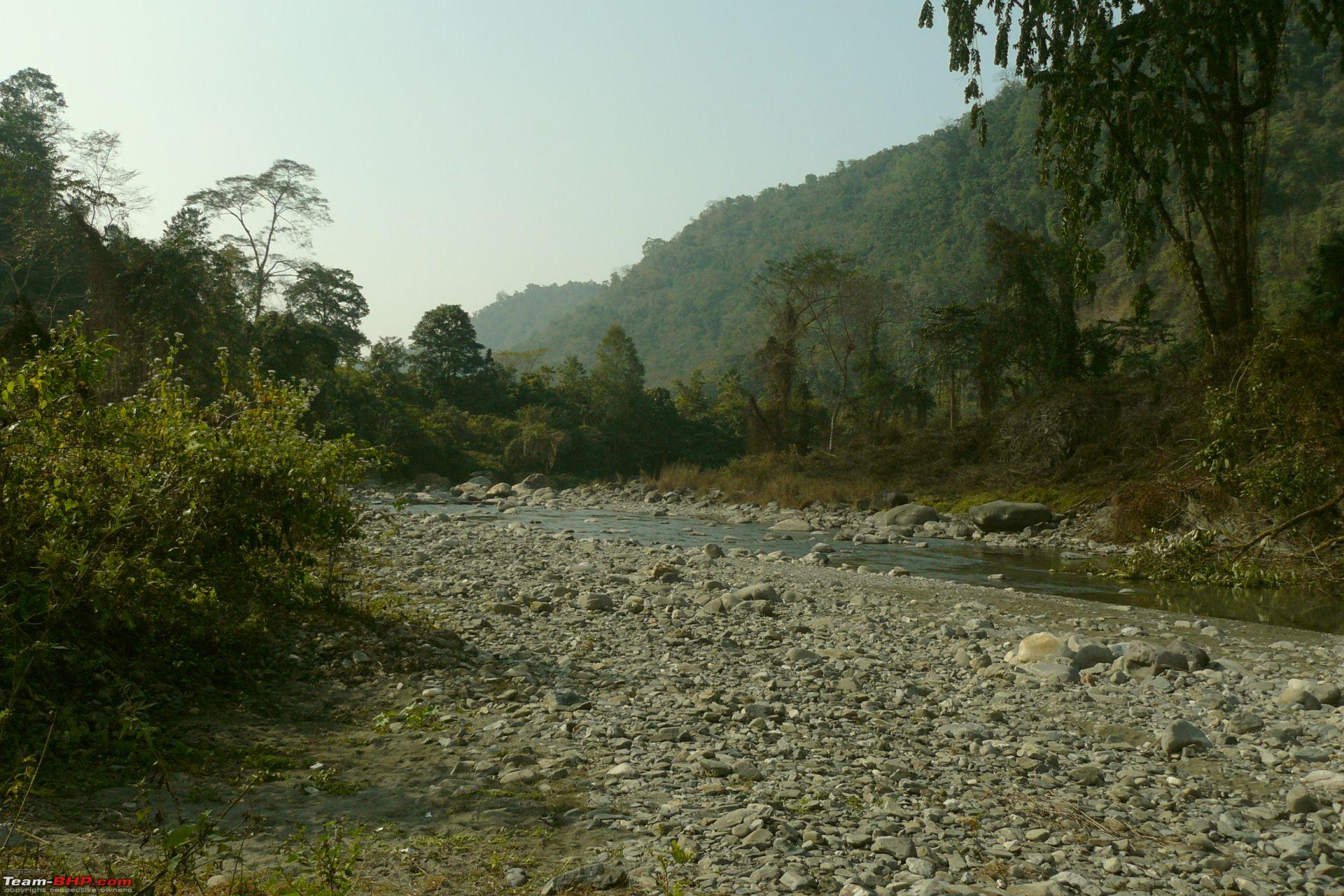
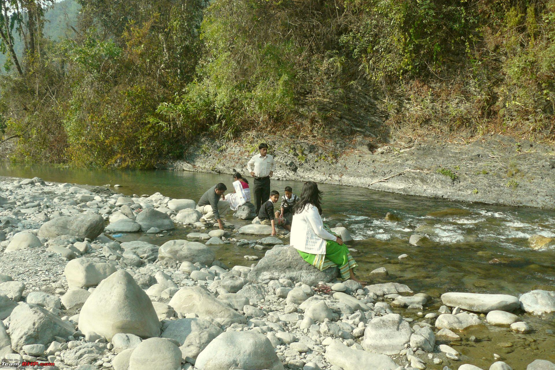
Forget whos wrong or goofing up, those pictures are fabulous. The duckings are darn cute. Are there more pictures to come ? Thanks for sharing all that info.
Quote:
Originally Posted by prince_pervez
(Post 1647370)
Forget whos wrong or goofing up, those pictures are fabulous. The duckings are darn cute. Are there more pictures to come ? Thanks for sharing all that info.
|
Thanks Pervez. Since the visit was just a 2-hour quickie, I'm afraid that's about all.
damn cute ducklings
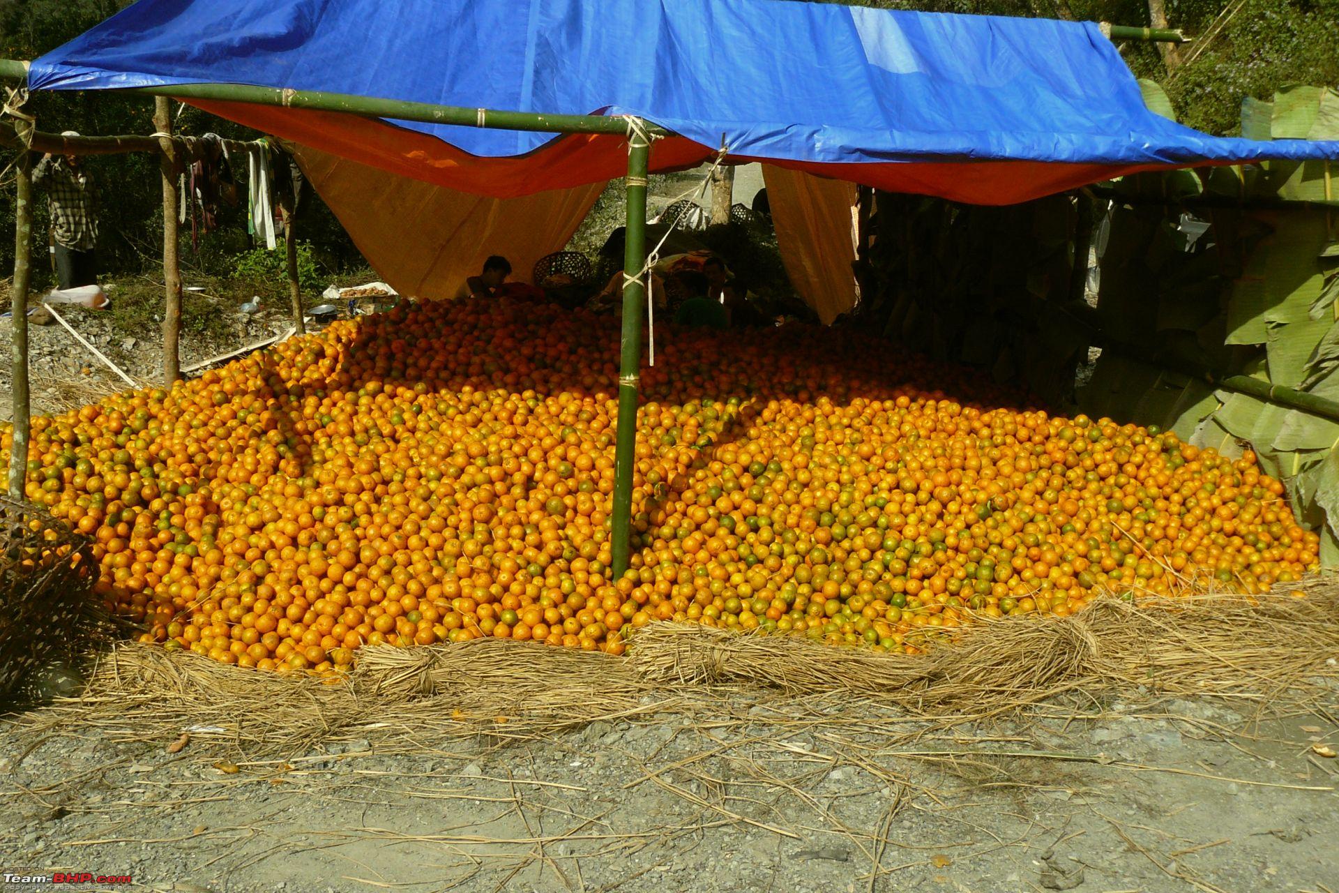
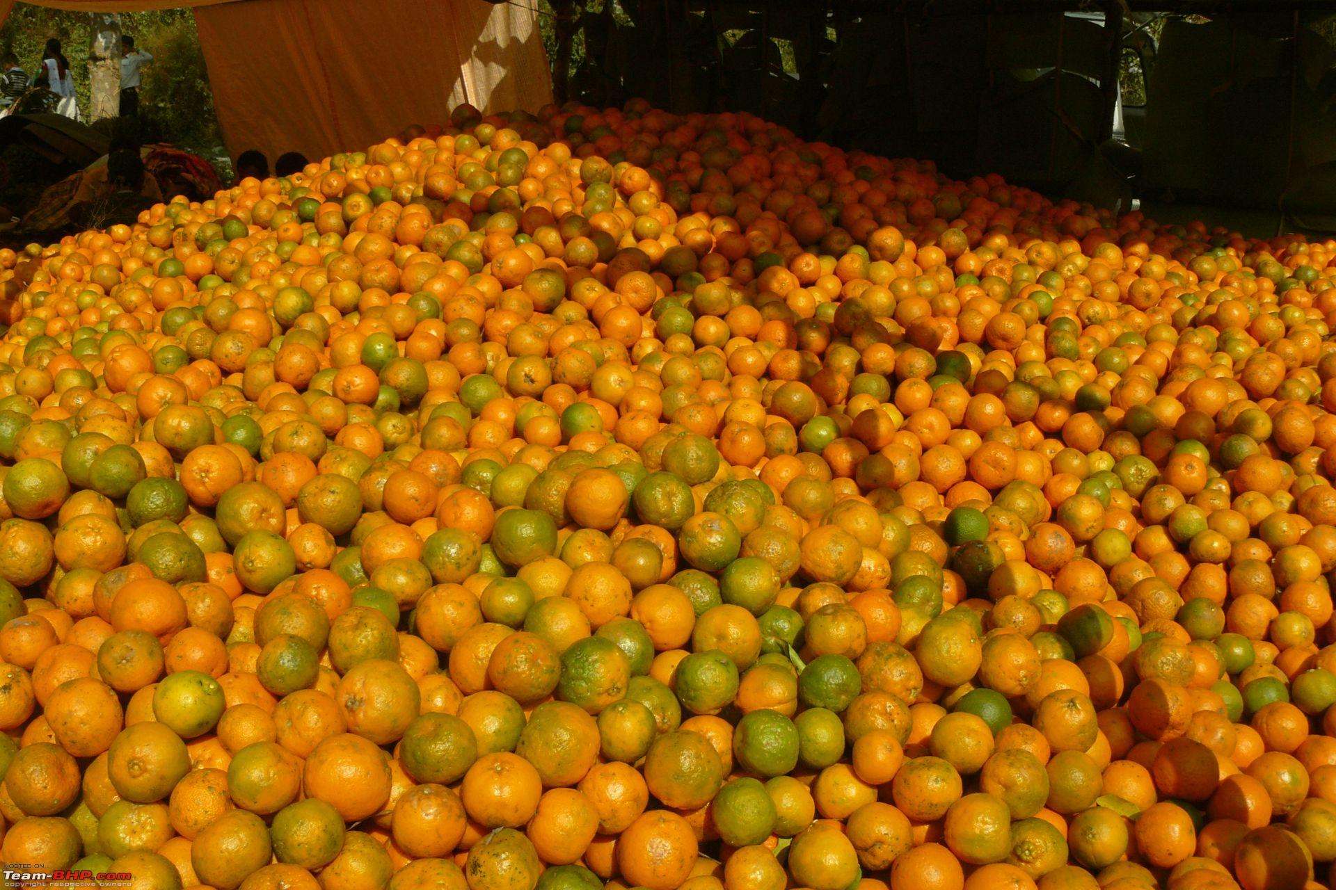
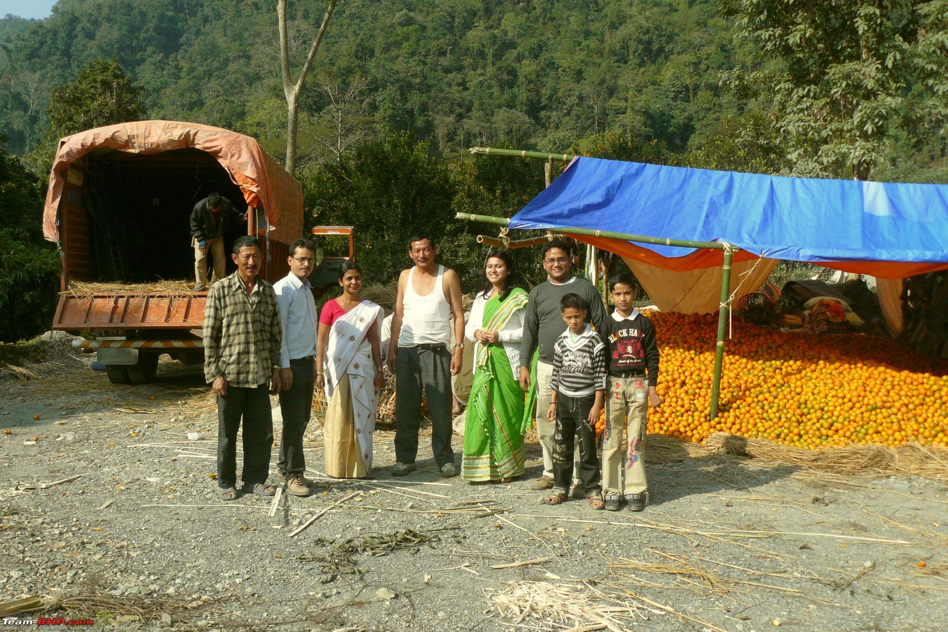
the oranges are wow - i would jump on those.
Seems you have really enjoyed your exploration. Nice photos.
Yummy oranges! Hope a truck load reaches Bangalore soon.
Thanks a lot for introduching this road. I will try it out one of these Sundays as long as Bodo areas are open.
Thanks for bumping this thread. Did not know about this. Interesting. The road also seems good. Thanks for sharing.
Nice Pics !
One of the pics show a Santro with RED numberplate. Is it govt. vehicle? or vehicle from Bhutan side?
Quote:
Originally Posted by WDM007
(Post 2033670)
Nice Pics !
One of the pics show a Santro with RED numberplate. Is it govt. vehicle? or vehicle from Bhutan side?
|
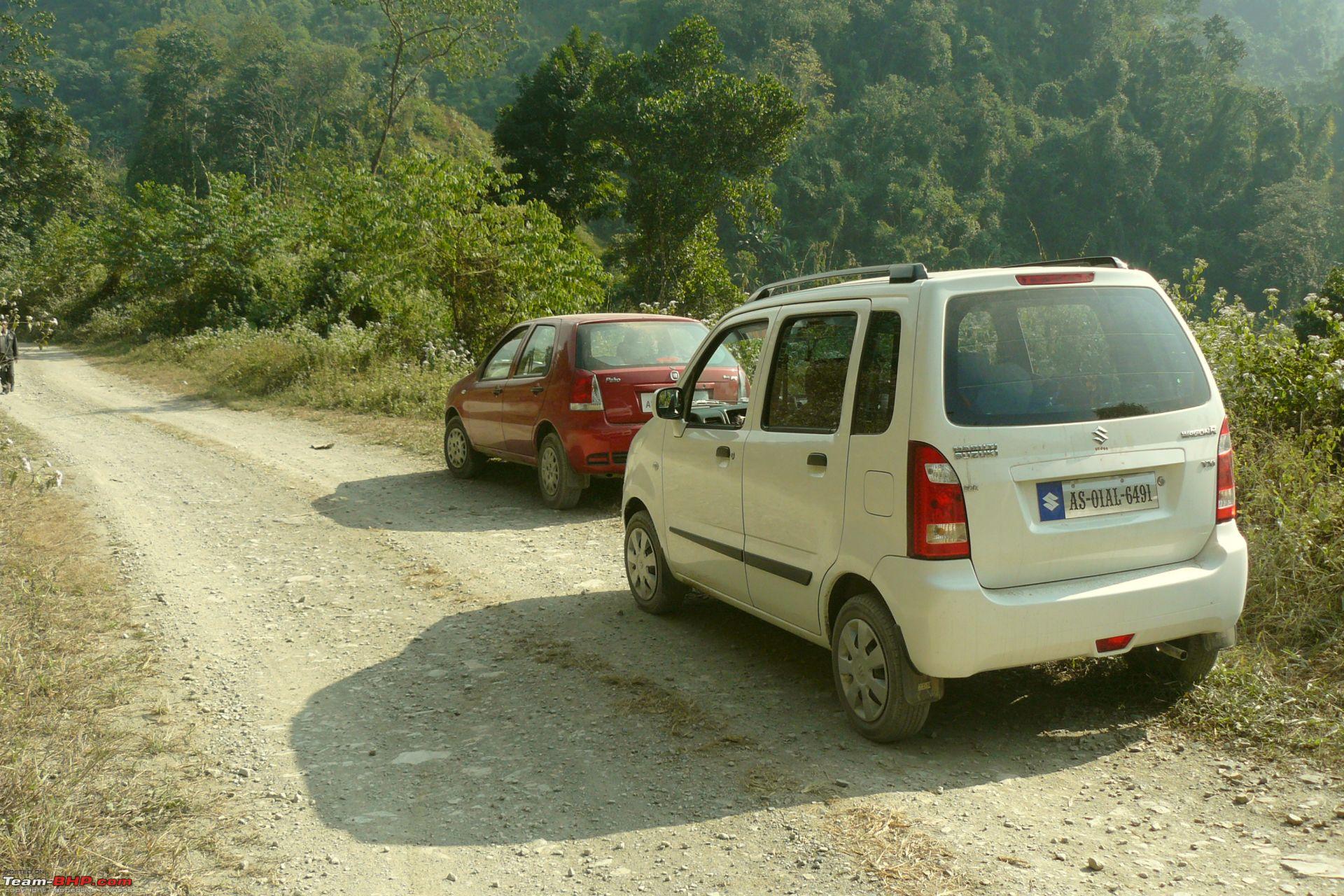
In Bhutan, vehicles bear a Red number plate with the prefix BT.
The Santro is a Bhutan-registered car.
Indian cars are very popular in Bhutan, primarily the Alto, Santro, Getz and Swift.
Quote:
Originally Posted by hvkumar
(Post 2033698)
In Bhutan, vehicles bear a Red number plate with the prefix BT.
The Santro is a Bhutan-registered car.
Indian cars are very popular in Bhutan, primarily the Alto, Santro, Getz and Swift.
|
Nice piece of trivia there HVK sir!
Even in the TTK NE map 152 start point is shown as Patacharkuchi.
How far is it to Pathsala from Baihata and how is road condition. Has the Rangiya and Nalbari by pass compleated.
How long does it usually take to Pathsala from Guwahati in weekdays when road is full.
Any status update on the EW corridor widening via Rangiya and Nalbari?
| All times are GMT +5.5. The time now is 09:34. | |