Quote:
Originally Posted by addyhemmige  Hi deky, thanks again for putting up these lovely pictures and an equally good write up. Since you have done the yatra in two different ways, which one would be your favourite and why? |
The MEA route will be my favourite for quite a few reasons, which I will share in a different post later
Quote:
Originally Posted by ampere Addy, do we need an answer to this question? 
But Obvious!
@Deky, Words cant do justice what you and the group felt and has seen.
As Amit mentioned, this might be the closest many of us here would get to see these divine waters and locales.
Looking up the whole route in Google earth and wikimpia almost transports me to these locations. |
Thanks Ampere, I am glad you enjoying the journey
Quote:
Originally Posted by ramki067 Deky,
Thank you very much for this thread. Its been a real pleasure to read your experiences of this pilgrimage. We have a Kailash Manasarovar CD which shows Mt.Kailash and Manasarovar, and know only a few yatris can make this trip. But after reading your travelogue came to know of the real picture of this pilgrimage.
Do you have any pics when doing the parikrama?
Hats off to you.  Wish you many more such unique pilgrimages.
Ramki |
Sometimes the media makes an event so sensational, that people get scared of it. Its nothing like that. Everyone in decent health can do this, having said that every event has its risks involved, so does this also.
Parikrama pics coming up
Quote:
Originally Posted by sandeep joshi This thread will act as a guiding star for years to come for all Kailas mansarovar tours. This is so detail and with full of photos.
All future queries regarding kailas mansarovar will find answer here.
Thanks for this since there was not too much info availabel till date.
You did a greate job by posting very detailed info. |
Thank you too for reading
Quote:
Originally Posted by kalpeshc After going through both your threads and awesome narration with pictures, I will not regret if I never get to do this trip. Reading your posts is almost as if I am on the trip and experiencing it. |
Thanks for the kind words
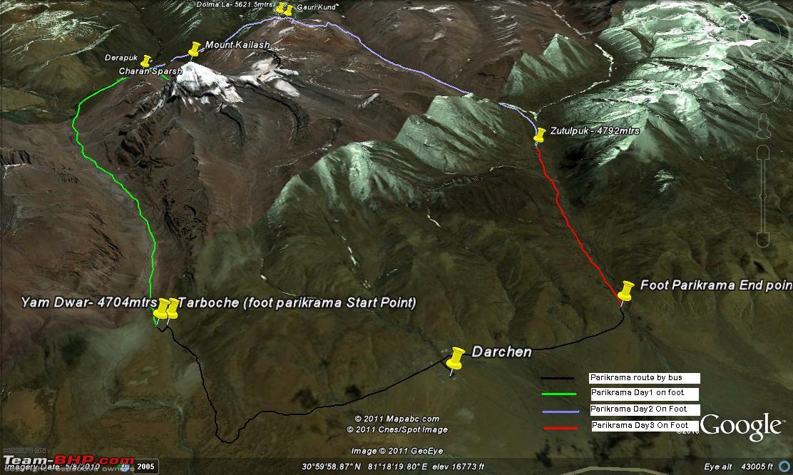
CONTD DAY 16: DARCHEN TO DERAPUK (Parikrama Day 1)
I have divided the Parikrama Day 1 in two parts.
- Darchen to Derapuk
- Derapuk to Charan Sparsh (the Feet of Mt Kailash) and back to Derapuk
Darchen To Derapuk
Darchen: 4874 mtrs
Derapuk : 5056 mtrs
Distance : 20 kms ( 8 kms by bus, 12 kms by foot)
Time Taken: 5 hours
Today was a special day for all the Yatris, as today we would be starting our Parikrama around Kailash. The weather was almost clear and there was bit of sunshine around. Good weather definitely lifts everyone spirits.
Kailash was partly visible from our hotel compound and after paying respects to the all mighty we sat in our bus for the first 8 kms of our parikrama till tarboche.
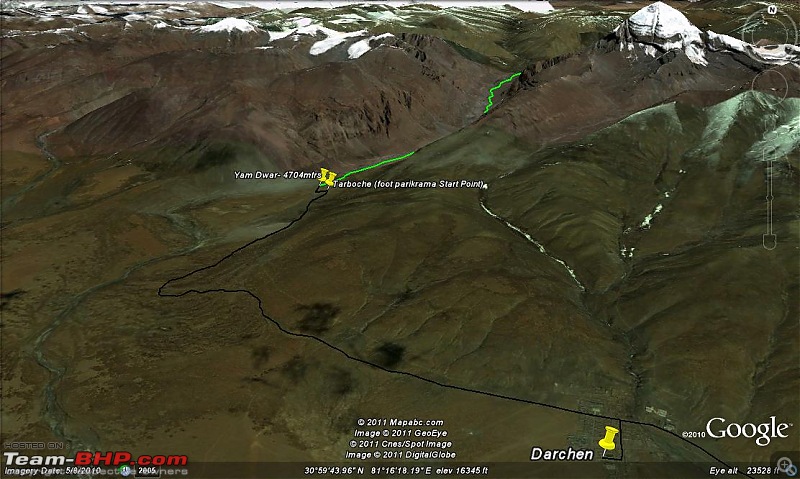
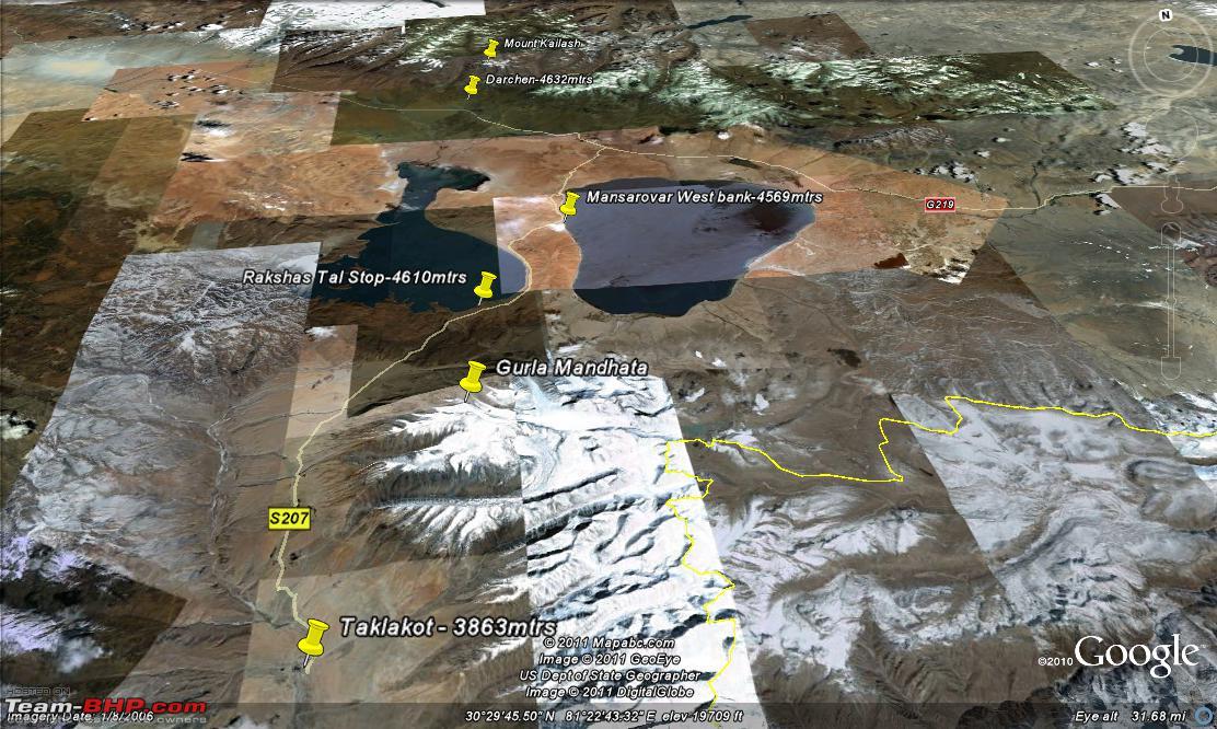
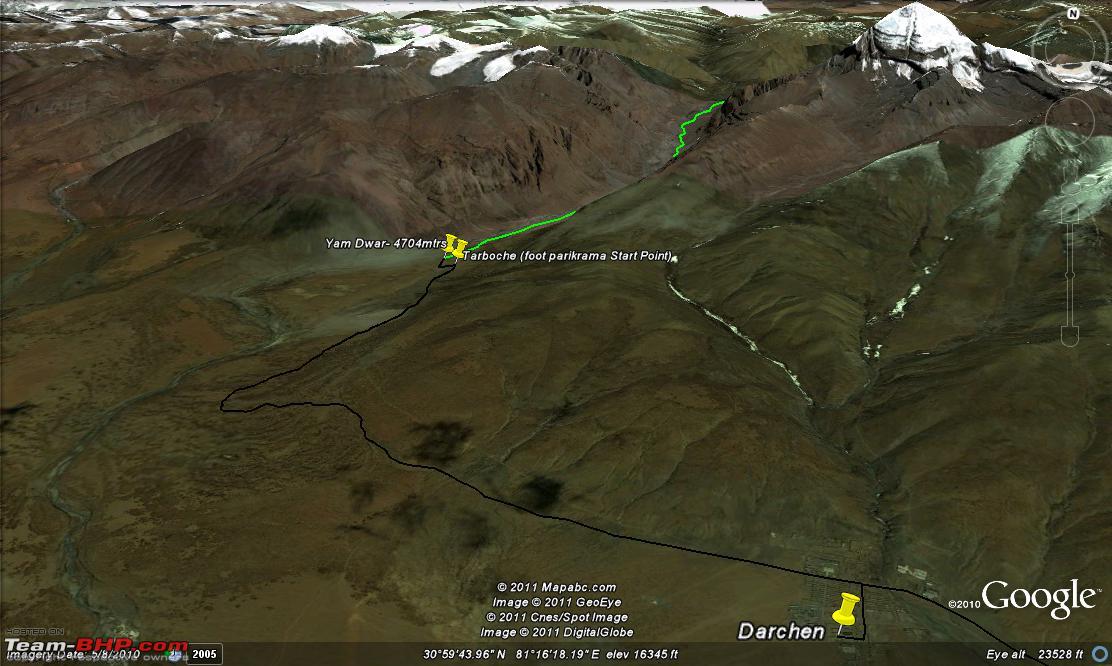
Google map showing the bus route from Darchen to Tarboche
The parikrama route is divided in to 3 days and today we will be covering 20 kms of the total 50 kms of the Parikrama stretch. You cant carry all your luggage while doing the parikrama, so a small bag not more than 7-8kgs had to be organized for the next 3 days.
Those Yatris doing the Parikrama on foot can either carry this small bag themselves or hire a porter for carrying. Those yatris who do not wish to do it on foot can also hire a pony. But the pony would not carry you around 5kms stretch of Dolma (on parikrama Day2), where the ascent and descent is very steep, so this also has to be kept in mind.
Pony and porters have to be pre-ordered with the Tibetan Guide and will be made available at Tarboche, the place from where the foot parikrama starts. Kindly note that a pony man will not act as your porter.
The price for pony and porters in 2011 is as follows
- Pony with pony men: - 750 RMB for 3 days
- Porter:- 360RMB for 3 days
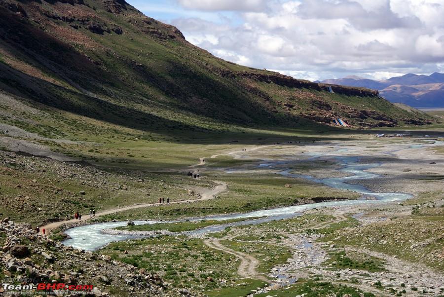
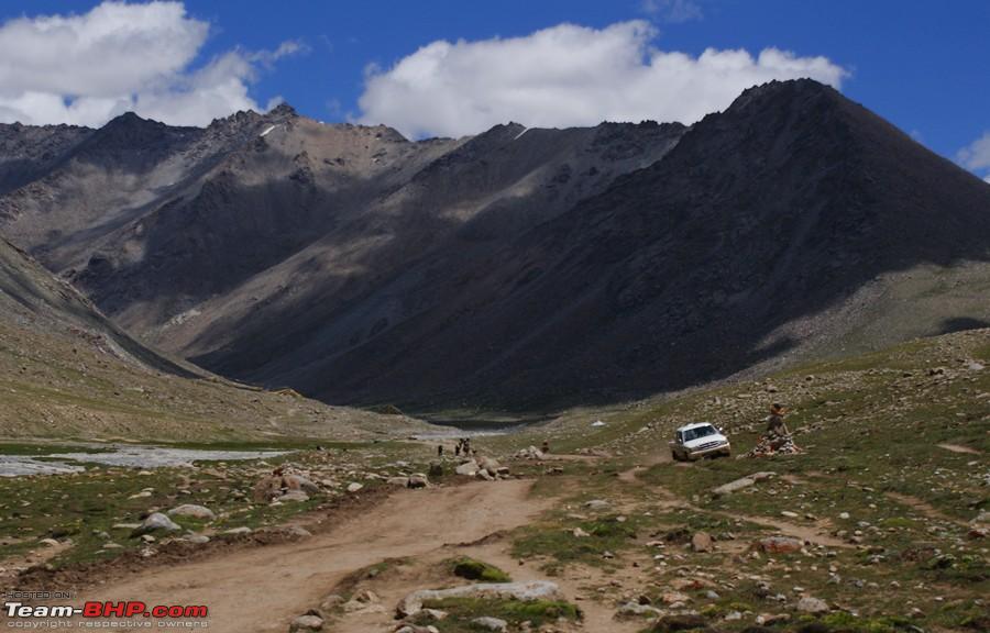
After 8 kms of bone shattering journey in the bus we reached Yam Dwar. Its believed that Parikrama around Yam Dwar is equivalent to a parikrama around Kailash i.e only if you not fit to do the Kailash Parikrama. Just after Yam dwar was Tarboche from where our 12kms trek by foot had to begin.
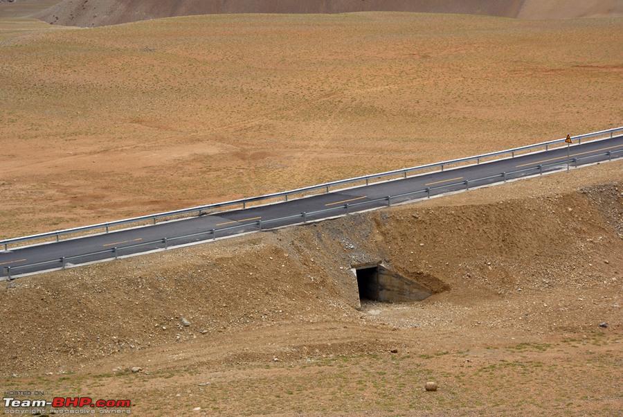
After waiting for some time at Tarboche till the porters and pony were allocated the group started towards Derapuk. The ascent was pretty gradual and the route was much easier than the last time. This was partly because the road was being leveled to make it a motor able road and also because I was much better acclimatized on this trip than the previous trip.
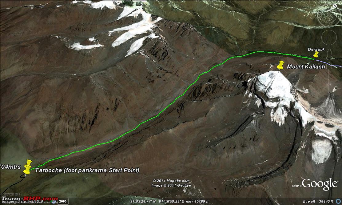
Route on foot from Tarboche to Derapuk

Route elevation from Tarboche to derapuk

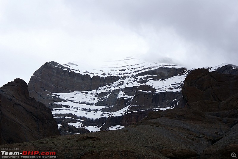
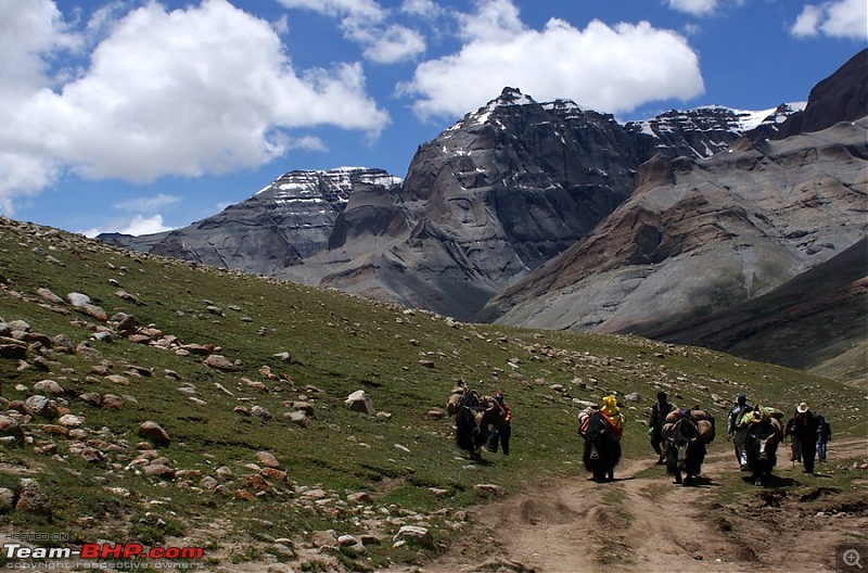
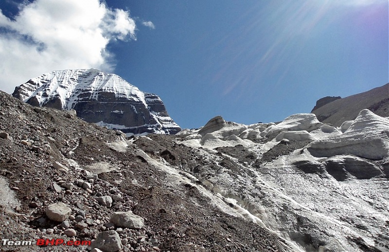
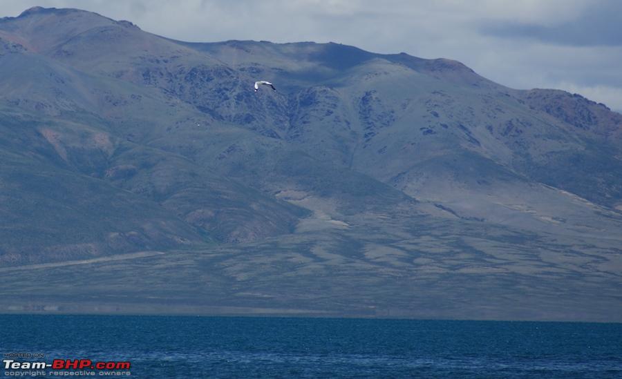
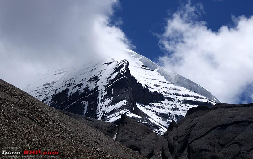
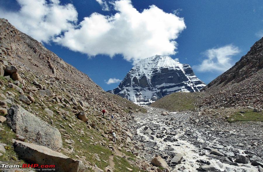
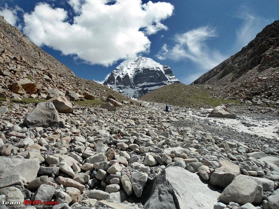
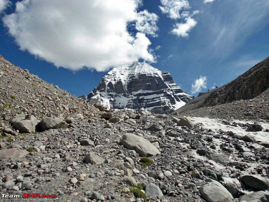
Last time we had rain and snow on this stretch but today it not that bad. Kailash was visible most of the times and that was a big boost in itself. From Tarboche we could see the South face of Kailash, but as we continued our parikrama clockwise around Kailash, slowly the west face was visible and then the North face. Walking in the shadows of Mt. Kailash was truly a magical experience.
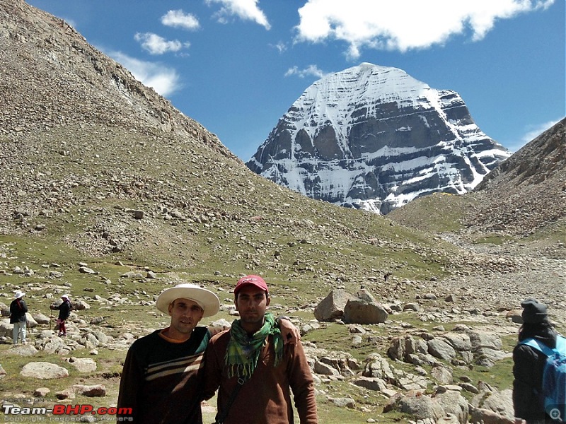
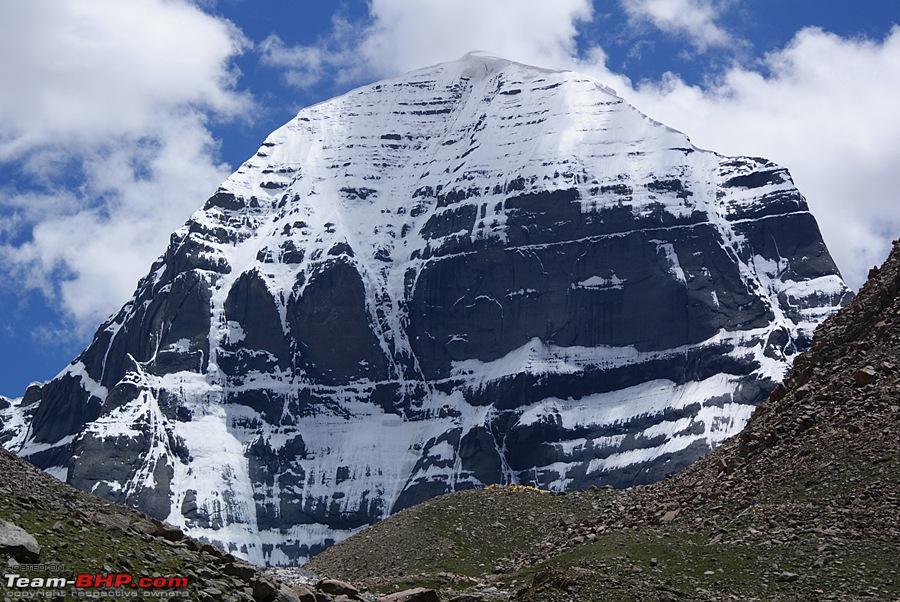
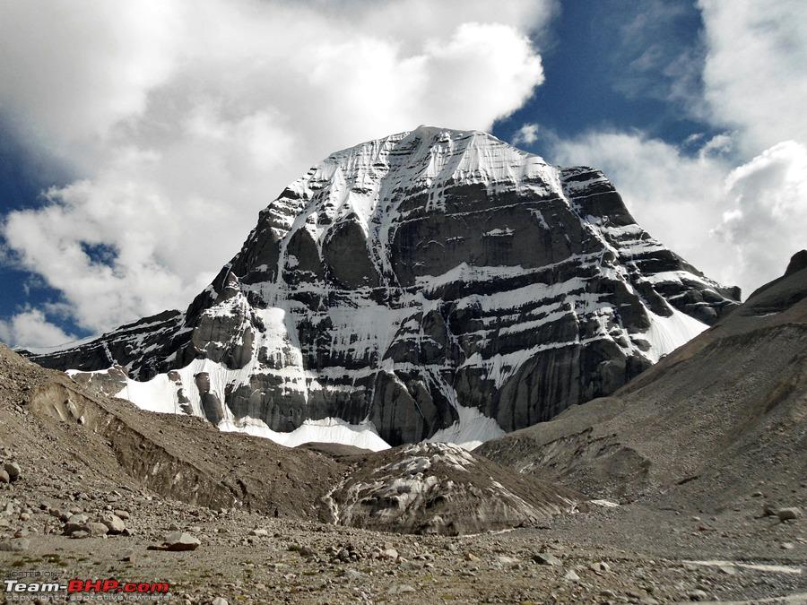
My trekking partner and I were walking pretty fast as we had plans to go till the feet of Mt. Kailash from Derapuk. So we covered the 12kms distance on foot in just less than 3 hours. From Derapuk on a clear day you can see the North face of Kailash, And the site which were greeted to was a sight to behold.
Charan Sparsh (feet of Kailash) looked hardly any distance from here (which was not the case as we found out later) and that made our resolve to touch the feet of Kailash even stronger. So after a 30 minutes rest my trekking partner and I set off to Charan Sparsh.
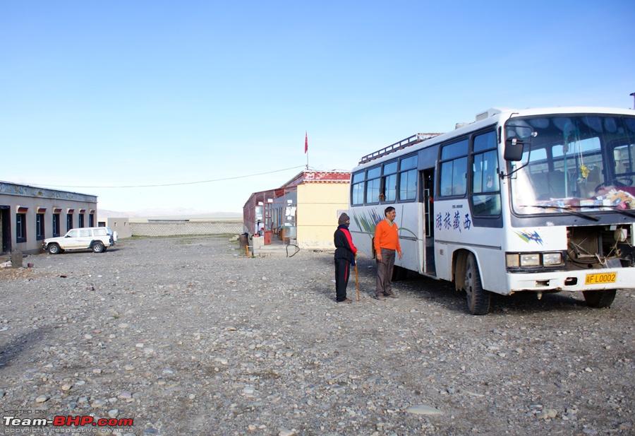
Pics from Darchen to Derapuk
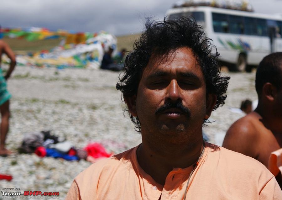
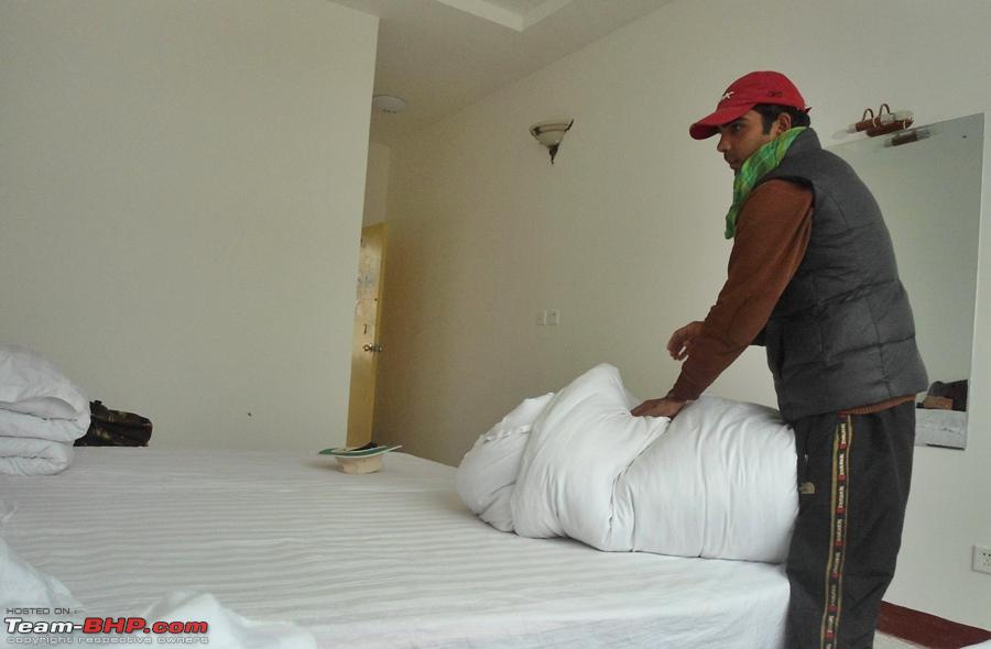
Waiting to load in the bus at our hotel at darchen

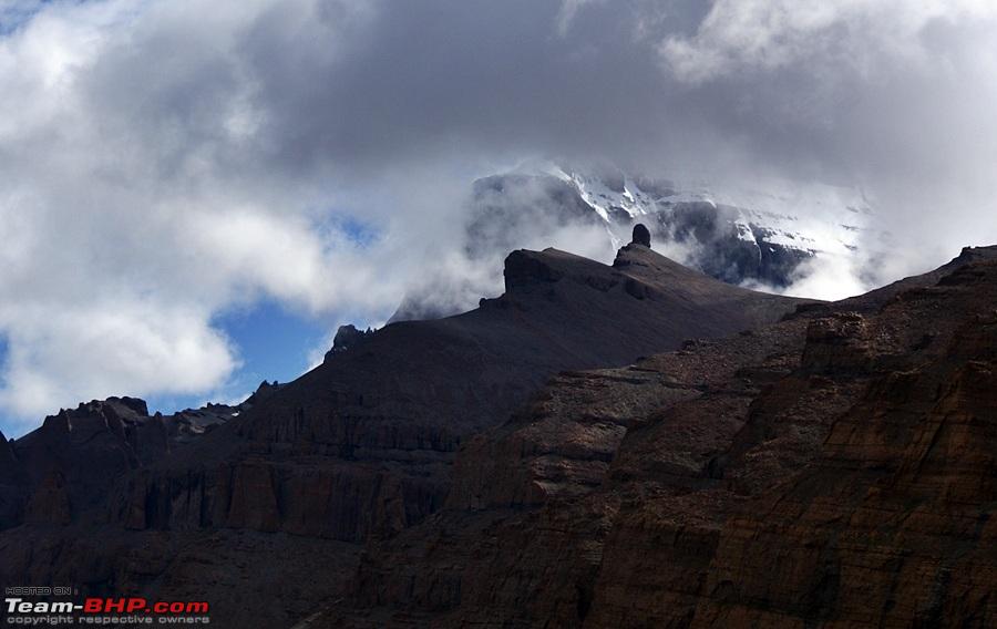
Yatris seeking blessings from Mt. Kailash covered in clouds

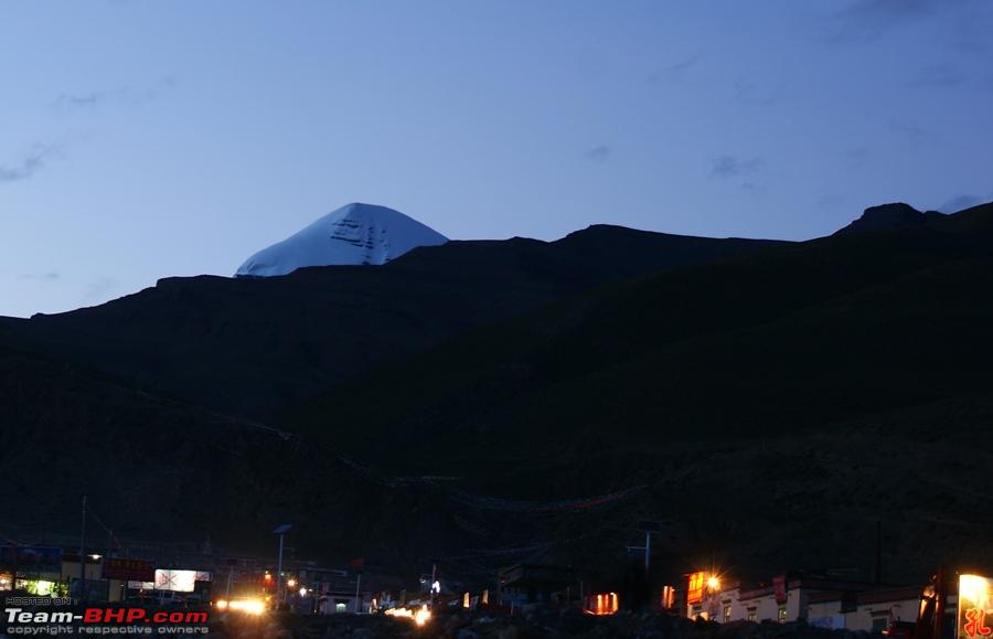
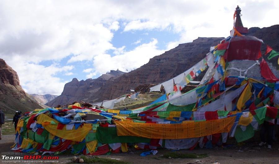
Yam dwar

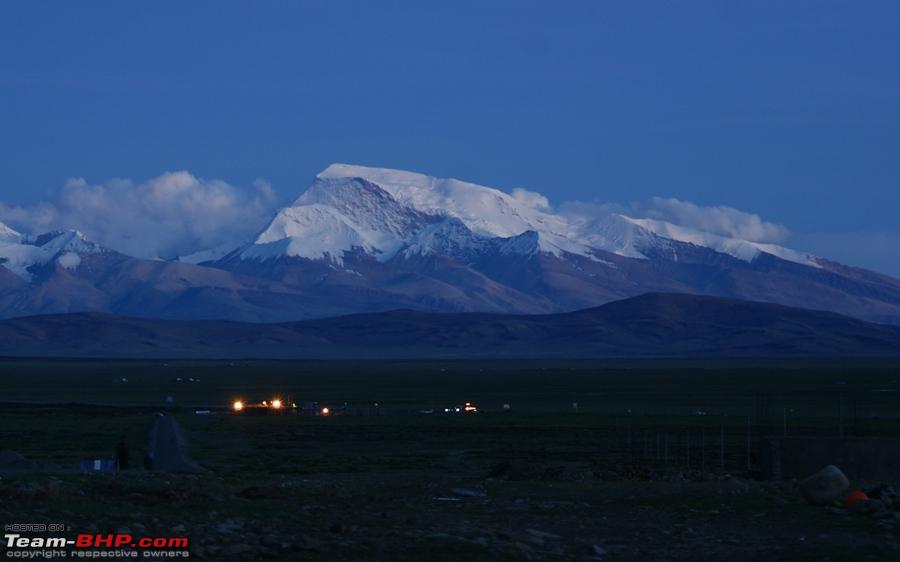
South face of Mt. Kailash is still under clouds

The pony and the pony men arrive

Clouds start to lift from Mt. Kailash

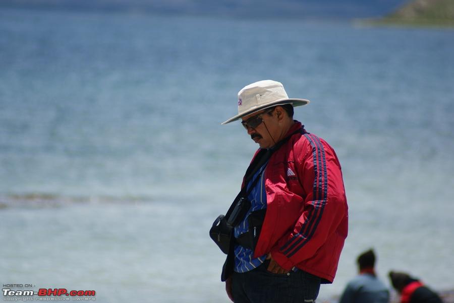
Yatris at Tarboche waiting for their porters/ ponies

Finally we start our 12 km Parikrama for the day

As we went around, the west face of Kailash was now visible
reaching our mid point for the day

As we continued the Parikrama we could see the west and the North face

Very soon this will be a motorable atretch

Our food and kitchen equipment on yaks
The weather cleared when we reached Derapuk and the North face was clearly visible now
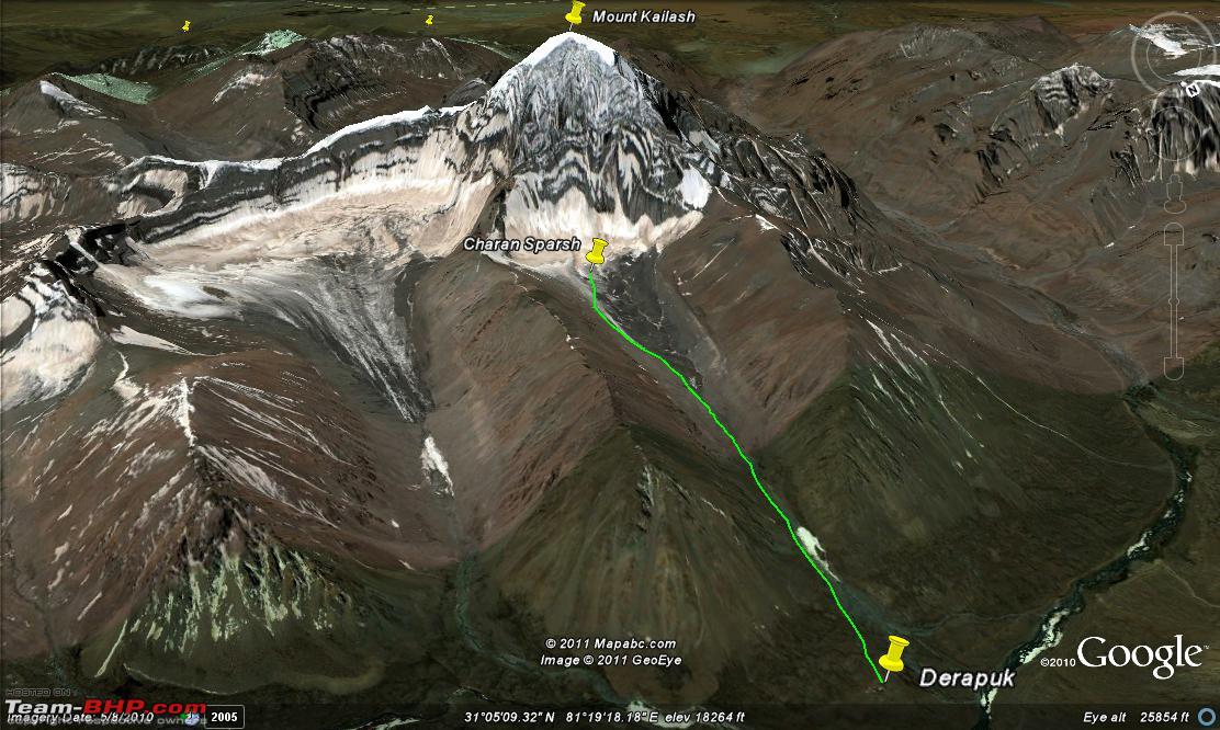
 Day16: Part 2: Derapuk To CharanSparsh and back
Derapuk: 5056 mtrs
Charan Sparsh: 5475 mtrs
Distance: 3 kms
Time Taken 1 hr
We started our walk towards Kailash. As not many yatris go on this route hence there is no track here, you have to make your own route over boulders and loose stones. Being tired anyways after a 12 kms trek on above 16000ft altitude, this trek above 17000+ft was getting a bit heavy.
Google map view of the route

Elevation of the route

Everytime we thought that the feet of Mt. kailash will be visible after this ascent, we realized that its still a bit far. But truly it was some magical power that kept pulling us towards the mountain. I cant express it in words; you need to be there to feel it.
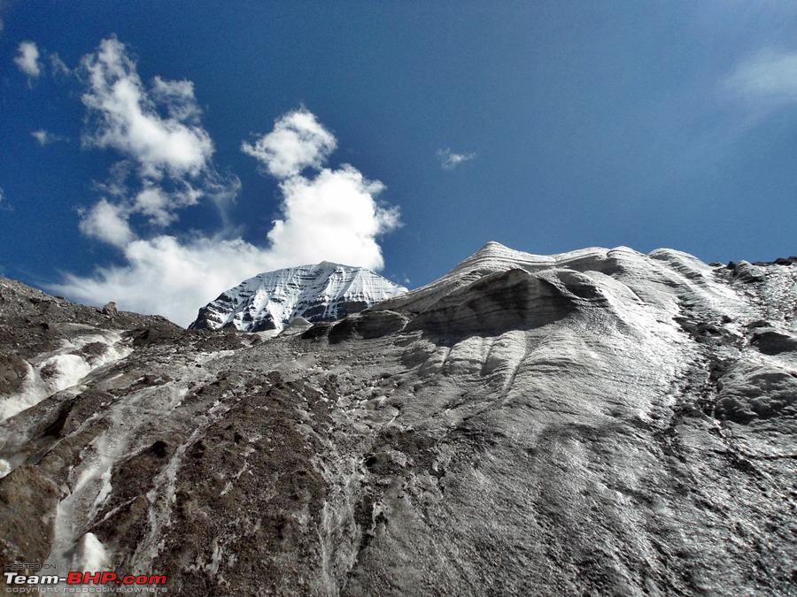
After about 3 kms, we were above 18000 ft and we were blocked by a wall of ice covered with mud, loose stones and boulders. This had to be it; this had to be the feet of Mt. Kailash. Climbing the wall of ice mud and boulders with bare hands was close to impossible, and anyway I was very tired and feeling totally out of breath by now. So I just said my prayers and wanted to return.
But my trekking partner Honey Arora had different plans. An absolutely fit young man, 25 years of age started to climb that wall, with a few slips and a few rolls he managed to get up the wall.Infact he went 2 kms further towards Kailash but had to return as the route got very treacherous after a while.
I was pretty breathless by now and started my journey back towards Derapuk camp alone as Honey had disappeared out of sight by now. While I was descending, a few other yatris were making their way up to Charan Sparsh. As soon as I reached the camp I straight went to bed, I was having a bad headache and I did not want my journey again to end here, so I had to rest. Today had been an exhausting day.
I slept through the night without having my dinner, Hopefully I would feel better tomorrow for Parikrama day 2
Pics from Derapuk to Charan Sparsh
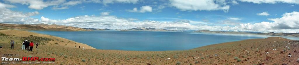
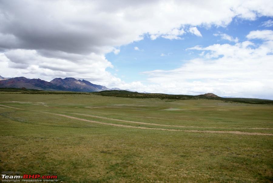
A panoramic view of the surroundings

Honey Arora (my trekking partner) and I just before we start towards Mt. Kailash
The path was over boulders and loose rocks

The closer we went, the further Mt. Kailash got from us

Another ascent

Finally we could see a dead end

Wall of snow covered with rocks and mud, I could climb no more

Honey Arora climbed over the wall and the following pics are from his camera. This is what he saw on the other side!!

 End Of Day16

 13th September 2011, 11:39

 (11)
Thanks
(11)
Thanks


 OR does this Yam have a different meaning?