Day-15 (21 May 13) : The 3 men left Leh for Nubra Valley at 6 AM. Debashree and Iram stayed back at Leh to obviate recurrence of Irams high altitude sickness problem. First, we needed to cross Khardung La which is just 45 km from Leh. But the road is steep and quite treacherous at certain places. There was lots of ice and slush, even flowing streams across or along the road. Also, I found too many boulders, some very large, strewn across the road. I think clearing these boulders is a daily task for the BRO bulldozers. Imagine one of these falling boulders hitting your car!
The XUV conquered Khardung La without too much huffing and puffing. Incidentally, the claimed altitude of 18,379 feet (5602 m) is bogus. The altitude shown by my Garmin GPS was 17,656 feet which is very close to the actual altitude measured scientifically. One can check the Wikipedia article and other authentic references to verify this. Actually, Khardung La is only marginally higher than Chang La.
We crossed Khardung La at 7:40 AM and the temperature then was minus 6 deg C. It was completely deserted at that time not even one person could be seen anywhere near K-top.
While descending from K-top towards North Pullu I realized that the return climb to K-top would be more treacherous than the climb from the South Pullu (Leh) side. This is because there was more ice / slush / craters on that side. And indeed, while returning from Nubra valley I experienced wheel spin on a couple of occasions while climbing to K-top in 1st gear.
While going from Leh we had crossed K-top at about 7:40 AM and while returning to Leh we crossed K-top even earlier at 7 AM. It was a very wise thing to do because I encountered almost nil traffic at that time. When there is little traffic, one can maintain a good speed (momentum) while ascending. Otherwise, one often needs to slow down or even stop to allow other vehicles to pass and one has to struggle to build up speed again. Of course, AWD or 4WD SUVs have a big advantage in this respect. Anyway, my FWD XUV managed to cross all the high altitude passes without much difficulty though there was a perceptible drop in engine power at altitudes greater than 13,000 feet.
After crossing Khargung La we descended towards Diskit and started to enjoy the views of Nubra valley and thousands of acres of high-altitude deserts, complete with sand dunes and thorny bushes. Near Diskit there was a huge diversion through unpaved roads as the main highway had got completely blocked due to massive landslides. There wasnt anything much in Diskit (after seeing other parts of Ladakh our expectations were probably set too high) and we decided to continue driving further to Hunder.
Hunder was a disappointment as all we saw there were some sick looking double-humped Bactrian camels, that too in captivity. This Bactrian camel thing seems to be just an over-hyped tourist attraction. Some local businessmen own a handful of these animals (which they must be breeding) and hordes of tourists descend upon Hunder to gawk at these hapless animals and ride them for fancy fees. Most of these camels had large chunks of fur missing and we were told that this shedding of fur was a natural phenomenon during summer.
After ticking off the Bactrian camel checkbox in our itinerary we decided to start our return journey towards Leh. We had lunch at Diskit and thereafter continued driving as there were a few hours of daylight left and we wanted to spend the night at a place not far from Khardung La (so that we could cross it unhindered early next morning).
We found accommodation in a small village called Khardong (probably Khardung La was named after this place) which is just 32 km from K-top and we spent the night there. Khardong is at 13,000 feet and wasnt too cold early morning temperature was 4 deg C.
Bogus claims of altitude at Khardung La.  View from K-top.
  Khardung La completely deserted at 7:40 AM.
 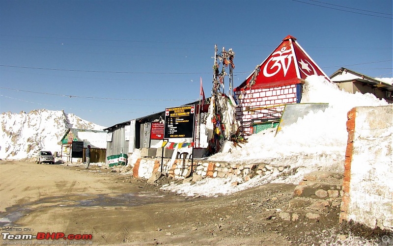 Altitude of K-top as indicated by my GPS.
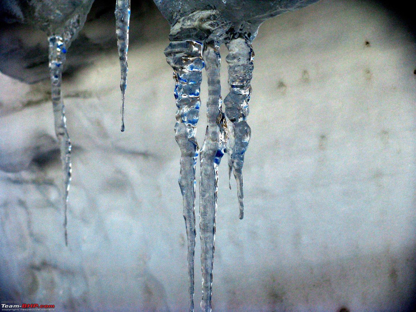
  Ice and slush on the road near K-top.
  Near K-top.
  Near K-top.
  Nubra valley.
  Nubra valley.
  Road near Diskit.
 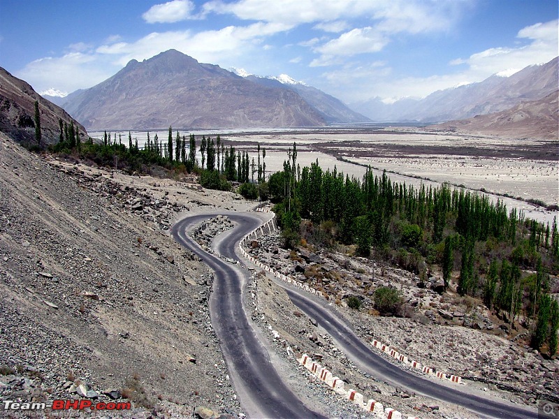 Near Diskit.
  At Diskit.
 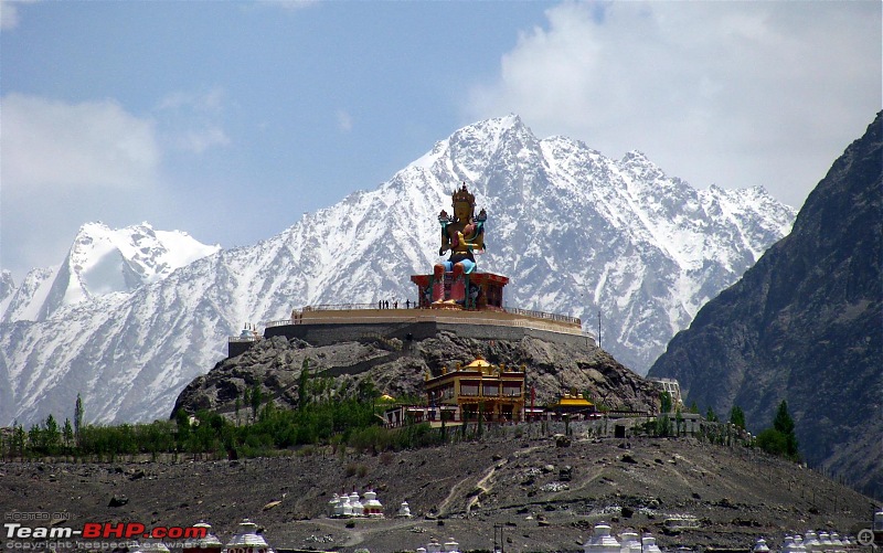 On the way to Hunder.
  Sand dunes at Hunder.
  Sand dunes at Hunder.
  Bactrian camel at Hunder.
  Bactrian camels at Hunder.
 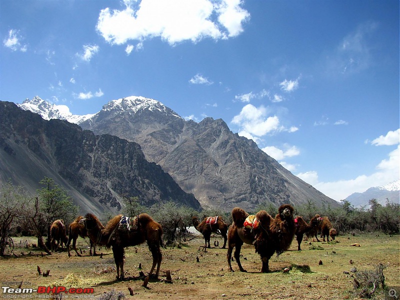 Sand dunes at Hunder.
  Day-16 (22 May 13)
 : Started from Khardong at 5 AM after a good nights sleep and started for K-top. As I had anticipated, the climb to K-top from this side (North Pullu) was a bit more treacherous as some of the steep inclines were covered in ice and slush (the apparent reason is that this side is less exposed to the sun). Another problem I found with Khardung La was that on either side of K-top there are kutcha (unpaved) stretches of 20-30 km which become extremely dusty when dry. If one is following one or more vehicles, the cars air filter would breathe copious amounts of dust and visibility also would be adversely affected. By crossing K-top very early in the morning both ways we avoided this problem.
We reached Leh before 9 AM and picked up the 2 girls to proceed straightaway towards Kargil. The option to spend the night at the Nurla Army unit was there but since we had started early and were making good progress I continued driving till we reached Mulbekh (180 km from Leh; 258 km from Khardong) by evening. There is a J&K Tourism bungalow at Mulbekh and we were the only guests there. The tourist bungalow is not very well-appointed but we had a reasonably comfortable stay.
Approaching Khardung La from North Pullu.  Near Khardung La.
  Indus river.
  Moonscapes.
  Rocks in Ladakh display various colours due to the presence of certain minerals.
 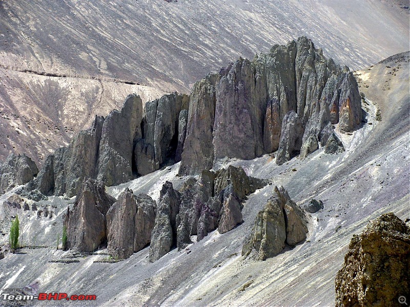 Almost everywhere in Ladakh one has to drive on ghat (hill) roads.
 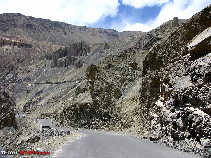 Typically Ladakh.
  For a car / bike enthusiast, the road itself can be the destination.
 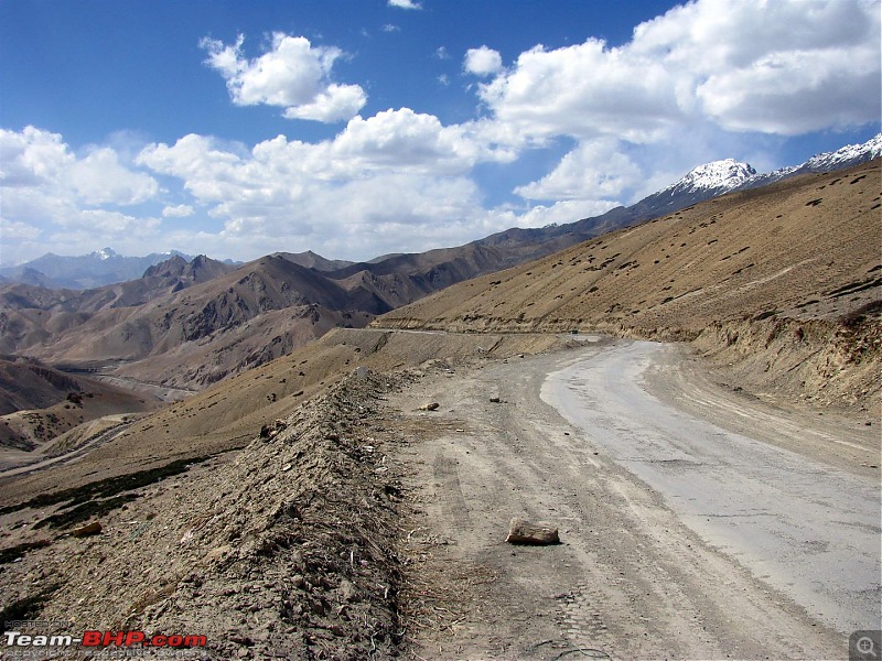 In Ladakh one comes across unique and striking landscapes almost at every hairpin bend!
  The J&K Tourism bungalow at Mulbekh.
  Awesome view from the tourist bungalow.


 12th June 2013, 19:50


 (2)
Thanks
(2)
Thanks