| |||||||

| Search Forums |
| Advanced Search |
| Go to Page... |
 |
| Search this Thread |  10,964 views |
 24th November 2014, 00:21
| #1 |
| BHPian Join Date: Jan 2014 Location: Chennai
Posts: 84
Thanked: 328 Times
| I was inspired by another entry on Team-BHP, by someone who decided to do an impromptu bike ride with wife and kid from Palakkad to wherever the road took them. And finally, the road took them to Nenmara. It was a simple write-up, with a few well taken photos. But that series made me look at that particular route with new eyes; a trip I had myself done a few times, since I have relatives in Nenmara and all. And these little stories are the ones that would help a visitor to Kerala appreciate these little roads all the more. Now, I have been a resident of Palakkad since 1995. Stayed and schooled there till the year 2000, when I joined college in Thrissur. After that, trips home were on weekends and term breaks. In 2005, I joined college in Goa for my MBA, got a job in Chennai, and visits home have been just 2-3 a year. I stay about half a kilometer from the beginning of the road I am writing about. Malampuzha dam was one of the few readily accessible tourist spots and a definite part of the itinerary whenever we had cousins from out of state. The road was bad for the most parts; something not very surprising If you know the condition of Kerala roads. There was a railway level crossing that closed very frequently, since it was the busy Coimbatore line, and that part of the road became narrower and even more badly surfaced, since an over-bridge that was to come up took about ten years to complete. But still, for a Palakkadian, Malampuzha was the go-to place for an evening out with family. I had been home for Vishu in April 2014, had a day to myself with nothing better to do in the morning, and decided to make this trip, my first travelogue so to speak. Astride my moms new Scooty (the only other option was Dads Alto, but a two wheeler is better for what I had in mind), with my phone with its very pedestrian camera, I set out. Google maps tells me the distance from Victoria to Malampuzha is about 8 km. The road from the main gate of the college starts off as a 100 feet wide picturesque road, going past the Chinmaya temple, the Subramaniam temple and pond, and curves languidly to the left. it was in very good condition, which I remember being a rarity. Soon, it crosses the Kozhikode bypass. I was pleasantly surprised to see the speed breakers with their chessboard markings and the roads shoulder lines all painted so well. PWD or highways dept seem to be doing their work. It wasnt like this before.    Here, one also sees a cute wooden hand-painted signboard welcoming you to Kalpathy village. Kalpathy is where Palakkads famed TamBrams first settled. The agraharam style of layout-with a straight street with rows of houses on both sides and usually a temple at either end- is still standing strong despite modern houses and flats gaining ground strongly. The road is one straight stretch of one-and-a-half lanes with a media, and lined by housing plots and a few shops on both sides. Both sides of the road were lush green with wild shrubbery that grows in every square inch of available mud. This is a Kerala wide phenomenon (actually its all along the western coast of India) and make all the non-mallus go how green this place is..).Thankfully, PWD or Highways or KTDC has put up gantries with signboards. The next junction is the one where one can turn to Puthur to the right or LN puram (thats Lakshminarayanapuram actually) and other gramams to the left. This junction has no traffic lights and is a bit messy and its advisable to slow down and watch out for vehicles. Especially the buses. Actually, in any part of Kerala, watch out for buses.     Keep your bearings straight and the road takes you past open spaces, housing colonies and the Mathrubhumi press. A lot of what seems like fallow land growing wild shrubs were paddy fields even a few years ago. Sadly, agriculture in Kerala is dying out (not viable, no labour available etc. But hey, this is an automobile forum) and paddy fields are being increasingly replaced by housing plots. By now you might have notice, its almost impossible to find 200 meters of road that runs exactly at the same level. From Victoria to the first junction, the road dips and then climbs very gently. Now, the downward slope is more pronounced for about 200m or so. Then it levels out, and climbs again- steep enough to require a fully loaded M800 or Alto to downshift to third gear. The crest of the climb is the place called Matumandha. Now, if the weather is clear, you would notice a pointed hill in the distance, almost straight ahead. This hill looks like a picture perfect rendering of our primary school drawings of hills- perfectly pointed hill with both slopes intersecting at about 120 degrees. Presenting- Dhoni Mala. Or Dhoni hill. It has been Dhoni Mala since before the cricketer with the same name was born, in case you were curious to know.   Last edited by Aditya : 1st December 2014 at 16:55. Reason: Merging back to back posts |

|  (5)
Thanks (5)
Thanks
 |
| The following 5 BHPians Thank sachinnair for this useful post: | benbsb29, GTO, HappyWheels, JoseVijay, theexperthand |
| |
|
24th November 2014, 00:40
| #2 |
| BHPian Join Date: Jan 2014 Location: Chennai
Posts: 84
Thanked: 328 Times
| Once you clear the houses that crown the crest of Mathumanda, the road slopes down- quite steeply to a causeway across a river. I have tried my best to capture the slope of the terrain, but my camera and my skills have their limitations. Its a slope a fully loaded M800/Alto or most other cars can climb in second gear. Stop a fully loaded car on this one, and it will take all the grunt it has to pull upwards in first. As a kid on a bicycle, pedaling down this slope as fast as I could was a huge thrill. The causeway itself is a low lying structure that seems to skim the surface of the Kalpathy river. Dad has told me of the many monsoons when it would be underwater and impossible to cross. But you could take a moment to park here, walk to the middle of the bridge and just stare at the waters, the hyacinth, egrets below and the brahminy kites (Garudas) above. Beware of the buses that will rush past. And if women are bathing, please dont look in that direction for too long (or risk getting beaten up).    Here are some more shots from the causeway. All the green that you see is hyacinth and other plants growing in the water; not grass on land.    Cross the causeway, and the road climbs up steeply and curves to the right. This climb is steeper, but not as picturesque as the approach. And soon after reaching level ground comes the Railway overbridge. Till about the year 2001 or2002, there was a manned level crossing and all the nuisance that comes along with it. This line is a busy one, with trains to and from Coimbatore trundling along very frequently. Then they built the approaches on both sides, reducing the road to a narrow broken stretch on both sides, with craters that went down to the earths core. We waited for the span across the tracks- but it never came. Till about two years or so ago. Now, its a smooth up and down drive across the tracks. And just in case you were admiring how nice the roads have been so far there comes a patch of bad roads. Kerala slush and hidden craters at their best. Two wheelers necessarily have to veer to the sides, and everyone risks a good splashing if someone decides to drive a bigger vehicle at some speed through the middle of the road. That someone would risk considerable damage to his own vehicles suspension, though. Luckily this patch is a short patch, like it has been put there to prevent people from getting too smug on this route or something. A little way on comes the Kootupatha (literally, junction), where the road from Olavakkode joins our road on its way to Malampuzha.  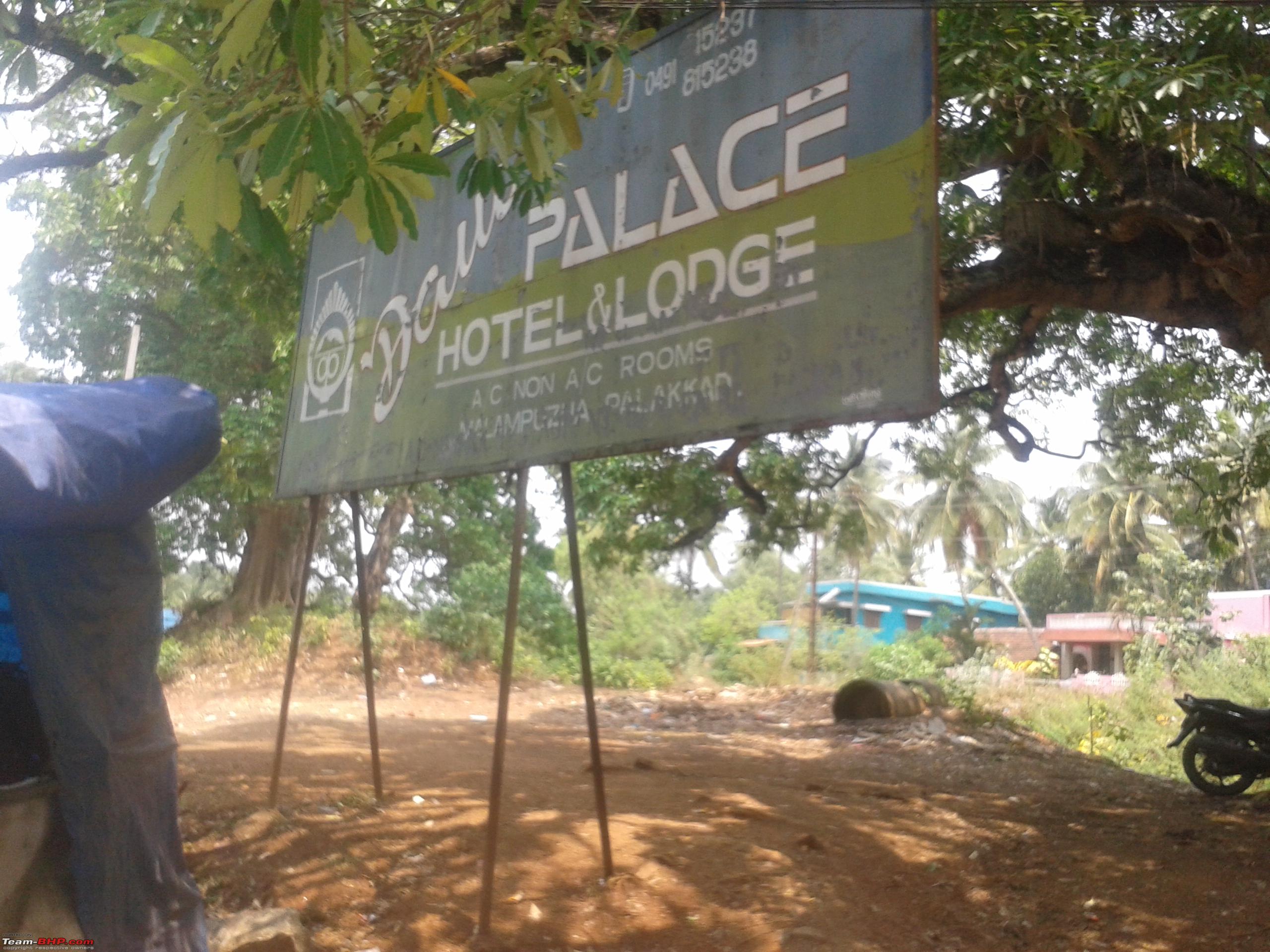 Last edited by Aditya : 1st December 2014 at 17:01. Reason: Merging back to back posts |
|
| (3)
Thanks
|
| The following 3 BHPians Thank sachinnair for this useful post: | GTO, JoseVijay, theexperthand |
|
26th November 2014, 23:39
| #3 |
| BHPian Join Date: Jan 2014 Location: Chennai
Posts: 84
Thanked: 328 Times
| The junction itself is on a gentle slope, and after joining the other roads, there is one steep climb that demands the second gear. On the right is Milmas cattle feed plant, and the stepped base of the compound wall should tell you how steep the road is. This junction is a bus stop, auto stand and a busy market and gets congested on a working day. But this is where you leave mundane housing colonies behind and the journey gets more picturesque. Now, we arewithin touching distance of the hills that from the dams catchment area.   Once past the crest of this particular road, the road changes once again into the nicely painted beautifully surfaced road that it was a few miles before. And presently, we come to Fantasy Park. This is an amusement park with roller coasters and water slides and merry go rounds that was set up in the mid 90s. Dinosaurs were a novelty then, thanks to Jurrasic Park, and so the park adopted a Pterodactyl as its symbol. Fantasy Park is another must visit for kids of all ages once vacations begin. The road here curves sinuously, and if you are on two wheels, the temptation to follow the road and lean in and out with the contours of the road is strong indeed. Been here, done that, and I must repeat my warning to watch out for buses. Also, people and cows.    Straight ahead, you see a short round hill thats mostly rock with shrubbery all over it. The road takes a curve just past this hill, once again, tempting one to stop, get down, and climb the hill to see whats there. Do so, if you have the time. (only, if it has recenetly rained, the surface will be slippery. Irrespective of what rubber you have on your feet, you might aquaplane a fair bit if you are careless. But then, the pleasures of stopping by the road to climb a gentle hill are something else indeed. Someone should write a poem about it, if they havent already. Just beyond Fantasy Park entrance is a large hoarding inviting you to fly the Malampuzha Ropeway. This is a ropeway across the dam garden and is quite a pleasure to sit in the car and watch the garden float away underneath under your feet. Literally under your feet, since there are no footrests, and your feet dangle down. (many a loose chappal have succumbed to gravity here).    Last edited by Aditya : 1st December 2014 at 17:07. Reason: Merging back to back posts |
|
| (3)
Thanks
|
| The following 3 BHPians Thank sachinnair for this useful post: | GTO, JoseVijay, theexperthand |
|
26th November 2014, 23:55
| #4 |
| BHPian Join Date: Jan 2014 Location: Chennai
Posts: 84
Thanked: 328 Times
| Just some shots of paddy fields and Dhonimala.   As you go past the hill, you will notice many decrepit houses on either side of the road. These are what are left of the govt quarters for the dam and irrigation dept. employees. Some of them are still occupied; many have been left to the elements. Quite a spooky spot at night, this one, especially if the streetlights arent on. But then, the Dam is just around the corner. There are the fish tanks of the Fisheries department on the right, and soon enough, you see the entrance of the Dam gardens.   The whole place is a hodge podge of buses and jeep taxis and private vehicles and candy floss stalls and whatnot. But to the right, there is parking for vehicles, a small temple, a pathway that lets you walk to the lakes edge, the Ropeway . Ill leave the exploration to you.    Last edited by Aditya : 1st December 2014 at 17:11. Reason: Merging back to back posts |
|
| (3)
Thanks
|
| The following 3 BHPians Thank sachinnair for this useful post: | GTO, JoseVijay, theexperthand |
|
27th November 2014, 00:14
| #5 |
| BHPian Join Date: Jan 2014 Location: Chennai
Posts: 84
Thanked: 328 Times
| Just an Amby in teal. Ya. Till i saw this car i did not believe in the existence of the colour TEAL. Forgot what mark or model it was though.  And this is what elephant poop looks like. My leg close by for scale. Don't worry; I didn't step into it. Kerala has a lot of tame elephants that are used mostly for temple festivals now (google out Thrissur Pooram and you will get the idea). So in the more rural areas, Pachyderms and associated articles are common around temple festival time. Maybe there was something going on around there.  On the left of the dam garden is the snake park, which is basically a conservatory and zoo for snakes and many reptiles.  Last edited by Aditya : 1st December 2014 at 17:13. Reason: Merging back to back posts |
|
| (3)
Thanks
|
| The following 3 BHPians Thank sachinnair for this useful post: | GTO, JoseVijay, theexperthand |
|
27th November 2014, 00:30
| #6 |
| BHPian Join Date: Jan 2014 Location: Chennai
Posts: 84
Thanked: 328 Times
| On this particular trip, I didnt stay long. I just stopped for a sherbet from a roadside stall, enjoyed the sights and sounds for a while, and headed back. Also, it was lunchtime. But on the way back, I took a detour through the road snaking through the quarters. Its the road to the left after the fishery ponds. It goes alongside a canal, past trees that seem ancient, and cows and buffalos languidly munching at the vegetation. Soon enough, there are old structures, some with their roofs caved in, overgrown with vegetation, hiding snakes and assorted insects. A mongoose ran across the road, from one thicket to the other. The perfect place for melancholy thoughts. Seems like the perfect place to shoot horror movies; wonder why nobodys done that so far. Further down the roads, the houses improve, and are occupied. There are people moving around, children cycling about, clothes hanging from washing lines
the works.     And then, there comes the vast open space that is technically part of the ITI campus. On Sundays, the RTO converts this place to a driving test ground. Poles in the ground mark the tracks for the H and the 8; and people line up from early morning, documents in hand, along side driving school staff, policemen and the driving schools assorted adjusted vehicles. These marvels of engineering are on perpetual cruise control, so that the student only has to control the clutch or brake to stop or change gears. That day, the ground was empty except for one lone hatchback in the far outfield, where someone was learning the intricacies of the A, the B and the C, and the Gs. This road finally joins the road we came by behind the cattle feed factory. From here, turn left to go back the way you came.   Last edited by Aditya : 1st December 2014 at 17:18. Reason: Merging back to back posts |
|
| (4)
Thanks
|
| The following 4 BHPians Thank sachinnair for this useful post: | GTO, JoseVijay, predatorwheelz, theexperthand |
|
1st December 2014, 14:19
| #7 |
| Team-BHP Support  | Re: Victoria College, Palakkad to Malampuzha, Kerala - Just a small 7 kms road Thread moved from the Assembly Line to Travelogues. Thanks for sharing! |
|
| ()
Thanks
|
|
5th December 2014, 13:24
| #8 | ||||||
| Senior - BHPian | Re: Victoria College, Palakkad to Malampuzha, Kerala - Just a small 7 kms road First of all, welcome to Teambhp at last. Its not everyday that one rediscovers his hostel-mate (and close friend) as a fellow member on his favorite forum. Good to see you buddy. Your zest for travel and your capacity to narrate little anecdotes (sometimes endlessly so  ) will keep you in good stead here. I guess this is only the beginning of many more to come from you. ) will keep you in good stead here. I guess this is only the beginning of many more to come from you.Before I forget, you're also from the automobile industry. We look forward to your contributions in the commercial vehicle section. Quote:
Quote:
Quote:
 Quote:
Quote:
| ||||||
|
| ()
Thanks
|

|
6th December 2014, 15:31
| #9 |
| BHPian Join Date: Nov 2014 Location: KL-31
Posts: 32
Thanked: 18 Times
| Re: Victoria College, Palakkad to Malampuzha, Kerala - Just a small 7 kms road Beautifully narrated travelogue. Being from Kerala I can relate to the places seen in your pics, before visiting Palakkad, I thought it was a place full of paddy fields & greenery everywhere. How is Fantasy park going, are they getting enough visitors nowadays? |
|
| ()
Thanks
|
|
9th December 2014, 17:05
| #10 |
| Senior - BHPian Join Date: Apr 2010 Location: Palakkad/Coimbatore
Posts: 1,226
Thanked: 1,079 Times
| Re: Victoria College, Palakkad to Malampuzha, Kerala - Just a small 7 kms road Nice to see the familiar roads and the familiar sights of Palakkad here in this forum. You could have gone round the reservoir |
|
| ()
Thanks
|
|
10th December 2014, 15:30
| #11 |
| Senior - BHPian Join Date: Nov 2009 Location: Pune
Posts: 1,926
Thanked: 2,826 Times
| Re: Victoria College, Palakkad to Malampuzha, Kerala - Just a small 7 kms road Aah my hometown Palakkad ,thanks for sharing the pics. There is something about this place that always enthralls me every time. Currently settled in Pune but my my parents stay in Venekkara . Malampuzha was at one time one of the sought out places for film shoots. It still is one of the most beautiful places. Again,thanks for sharing. Last edited by rakesh_r : 10th December 2014 at 15:33. |
|
| ()
Thanks
|
| |
|