Team-BHP
(
https://www.team-bhp.com/forum/)
-
Travelogues
(
https://www.team-bhp.com/forum/travelogues/)
Quote:
Originally Posted by AutoIndian
(Post 3879305)
Tomorrow is the first trip in my TUV lined up, though a short one.
|
Had a two day eventful trip in my TUV.
Day#1 29-Dec-2015
Sinhagad Fort - Balaji Temple - Narayanpur
Day#2 30-Dec-2015
Shivthar Ghal (via Bhor and Varandha Ghat)
Sharing the trailor pictures as of now. Detailed travelogue will be coming soon.
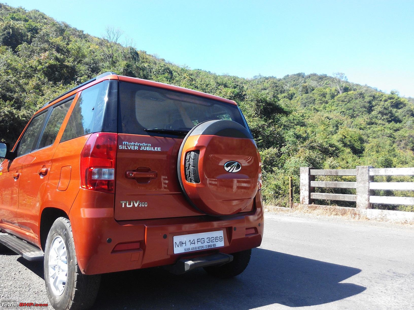
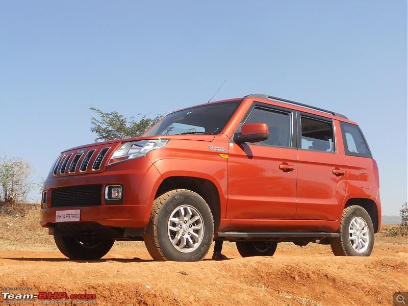
Orange tank admiring the Nira-Devghar dam  Taking a halt over one of the bridges on backwaters
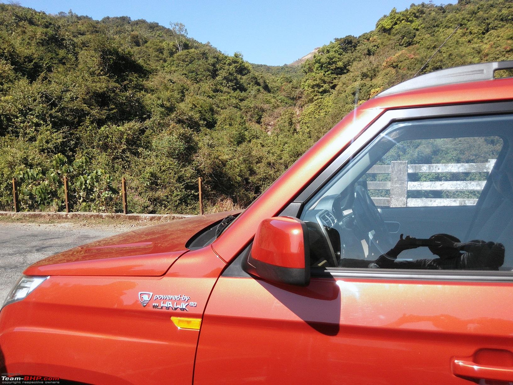
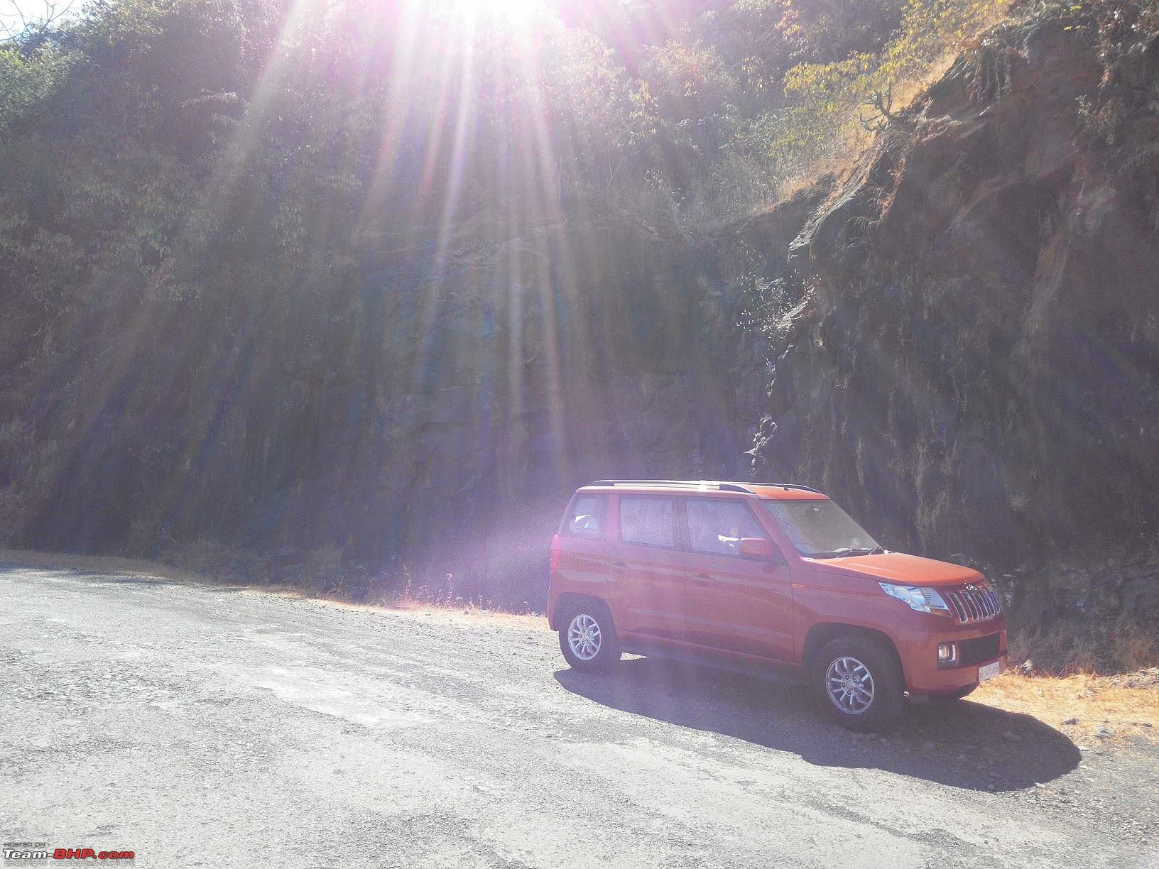
  TUV doing "sun bathing" in Varandha ghat
  TUV doing the balancing act with mountain on left and valley on right side
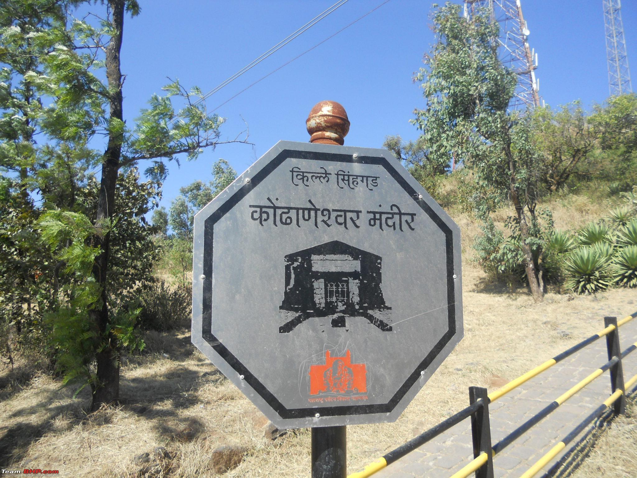
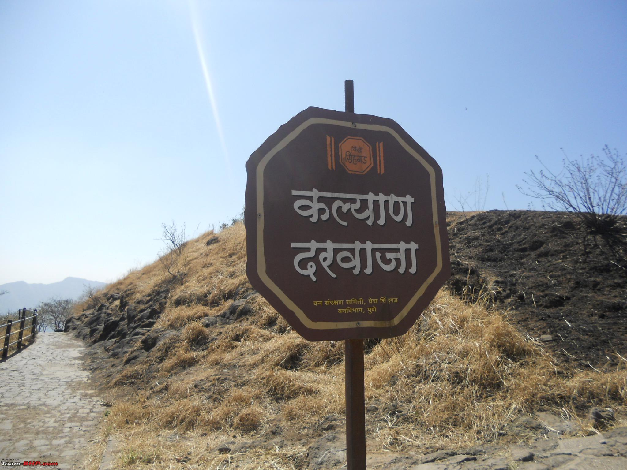
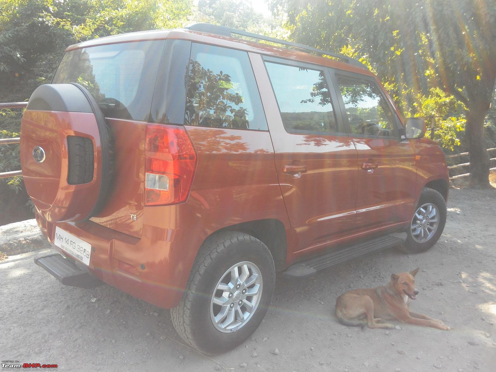
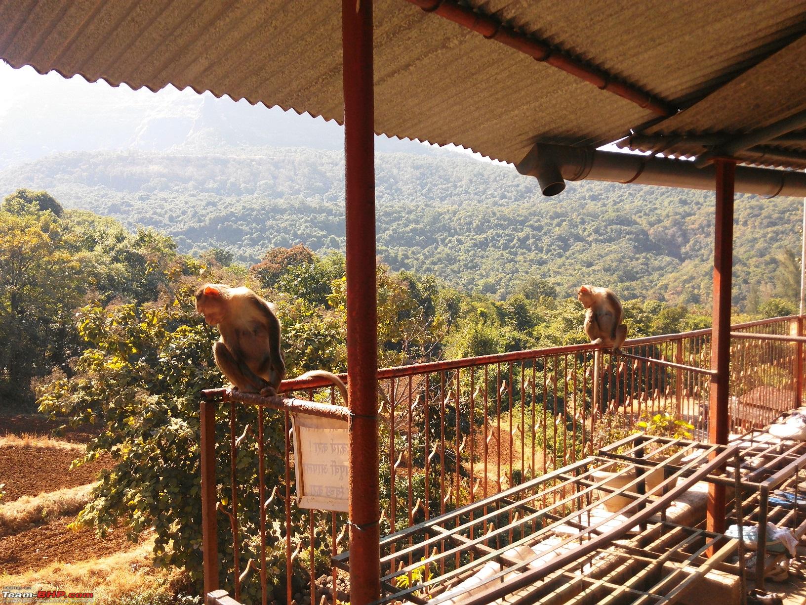
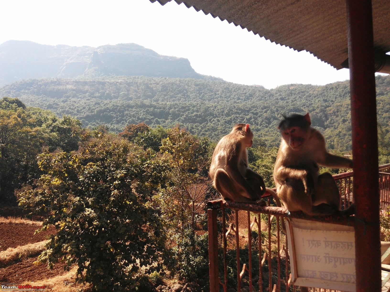
10-Signboard showing way to Kondhaneshwar Temple 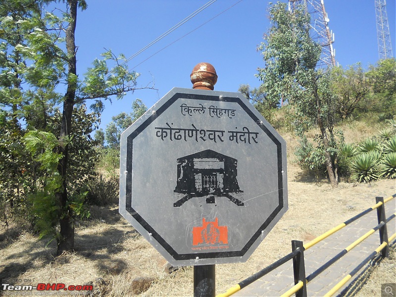
Due to this local diety this fort was earlier called Kondhana, when it was in the clutches of Mughals. One fine day Jijabai (Shivaji's mother) expressed her desire to capture this fort back from the Mughals as she was not able to take the darshan of rising sun. On hearing this, Tanaji Malusare came forward to lead the attack. This at a time when his son Raiba was getting married. Shivaji Maharaj told Tanaji that he first needs to attend his son's wedding. On hearing this Tanaji uttered these words, "Aadhi lagin Kondhanycha, magach Raibacha", which means I will first marry (capture) the fort Kondhana and only then will attend the marriage of my son, Raiba.
Tanaji attacked the Mughals with full vigour and captured the fort, but in doing so he laid down his life. On hearing this, Shivaji Maharaj proclaimed, "Gad ala pan Sinha gela", meaning we have won the fort, but lost our lion (Sinha). From that day onwards this fort was renamed as "Sinhagad". Enjoy some more snaps
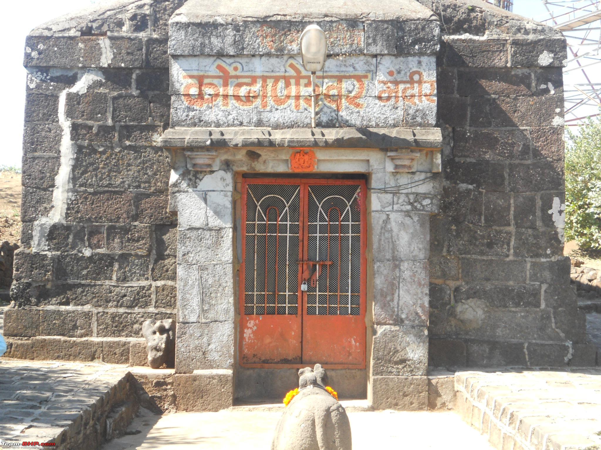
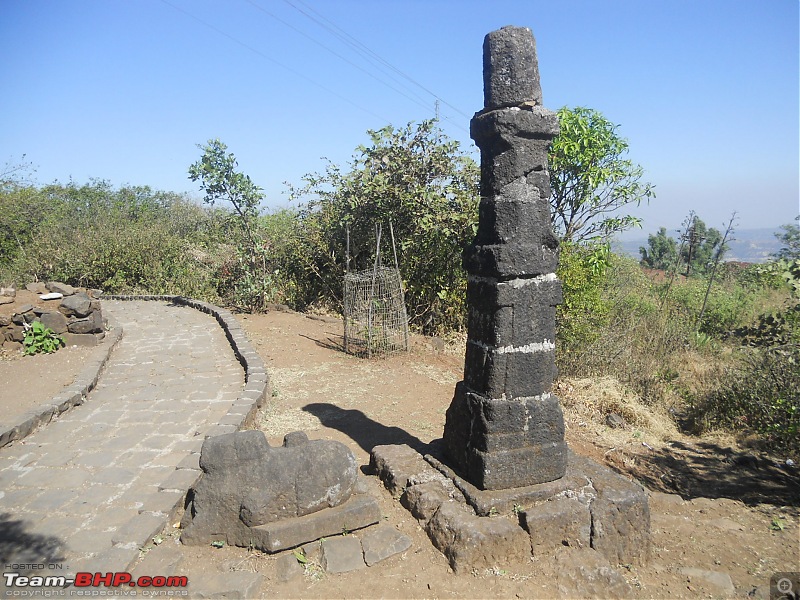
11-The Kondhaneshwar Temple
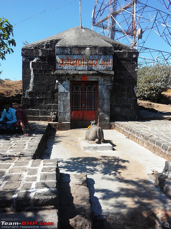
11-Closer shot of The Kondhaneshwar Temple

12-The dilapidated lamp post and nandi in front of Kondhaneshwar Temple
13-Stone steps leading to Kondhaneshwar Temple
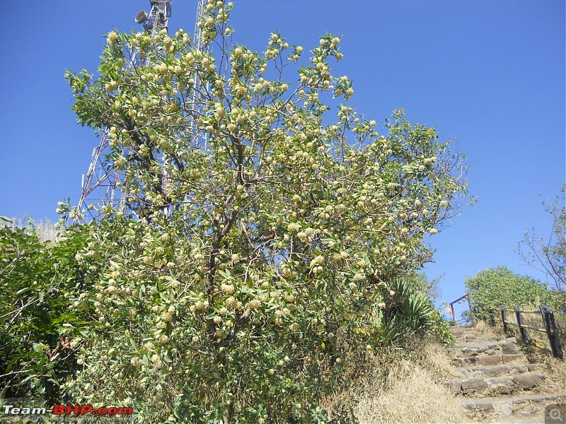
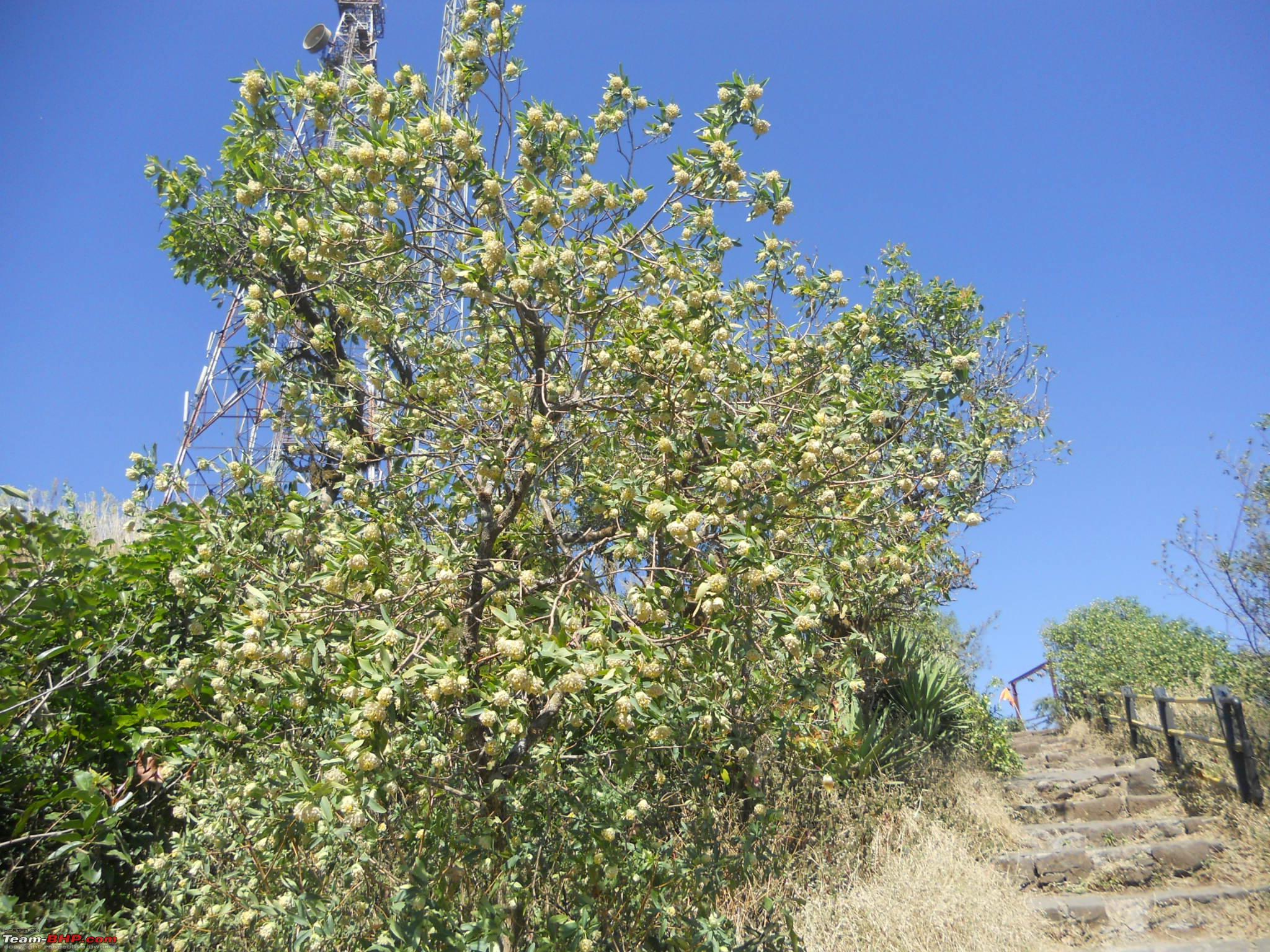
14-Wild shrubs enroute the pathway to the temple

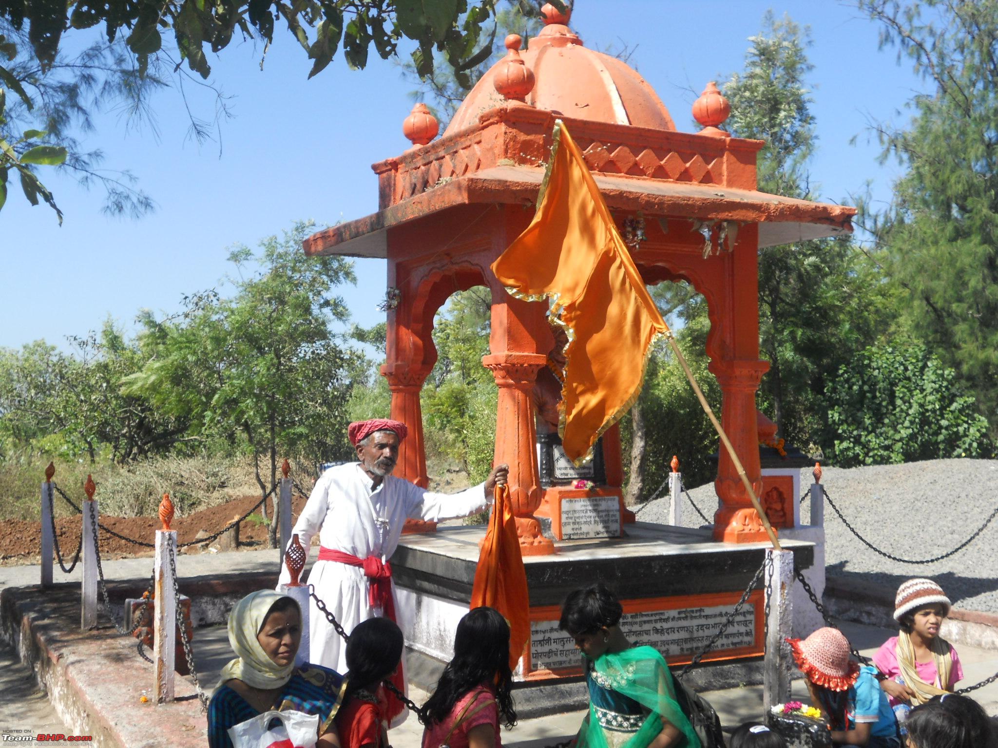
15-Samadhi sthal of Narveer Tanaji Malusare

16-Shahir, singing a powada in praise of Tanaji Malusare. School kids on a picnic listening in rapt attention

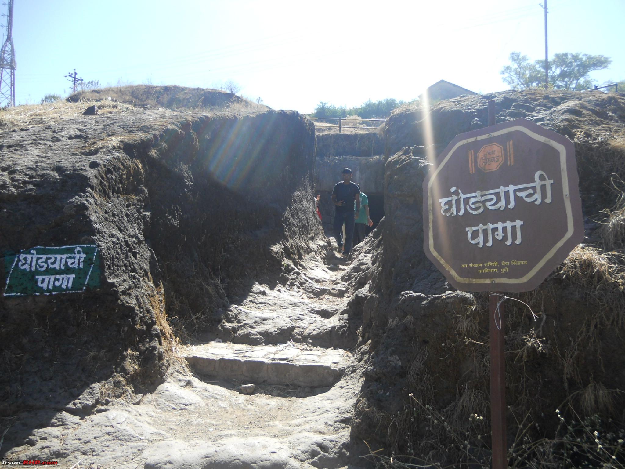
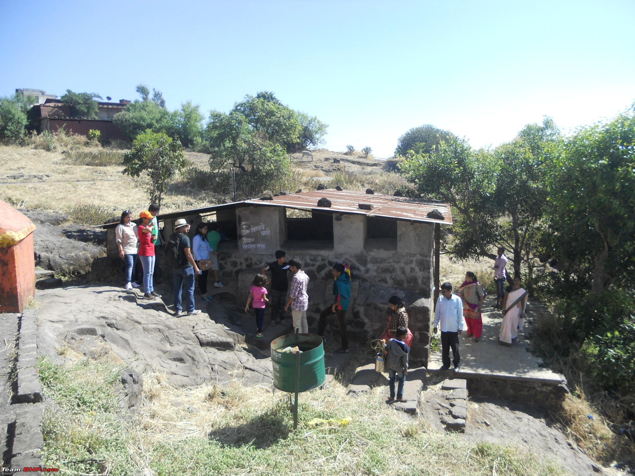
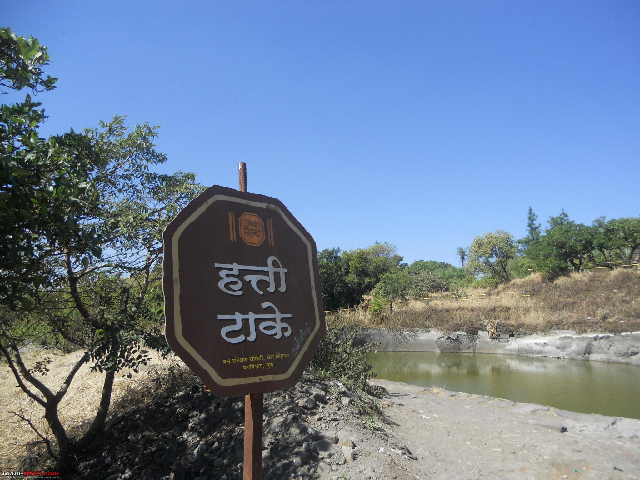
17-Signboard showing Dev-Takey

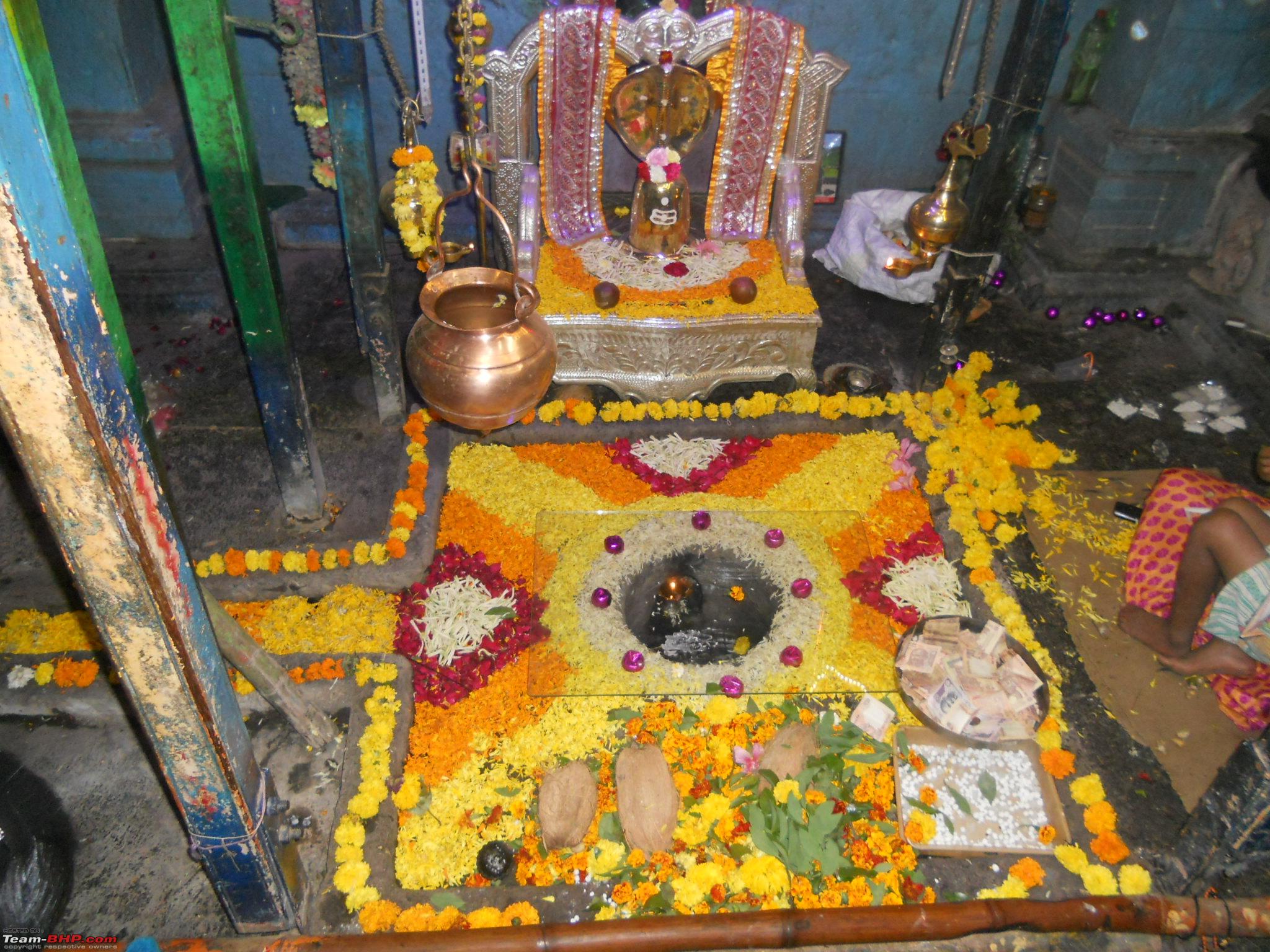
18-Actual Dev-Takey meaning Tank of God 
The actual water tank is underneath a rock cliff, protect by the house like structure that you see in the picture above. The name Dev-Takey meaning Tank of God is because this tank has cool drinking water all throughout the year. Its reservoir level is constantly maintained by natural springs feeding water to it, hence this tank never runs out of water and quenches the thirst of all tourists who visit the fort.
After enough site seeing all of us were very hungry and ordered the famous "Zhunka-Bhakar" from one of the numerous stalls dotting the fort. After aboout 45 minutes wait we were served sizzling hot zhunka, bhakri, bharit and dahi. Some of us had butter milk. After we ate our hearts out and took some rest we started the descend. After about 30 minutes of walk with stoppages we reached our parking spot. After one more salute to the great Maratha king, Chattrapati Shivaji and his trusted warrior Tanaji Malusare we started our return journey. Since it was just half past three in the afternoon we decided to take the diversion towards, Kondhanapur, Khed shivapur to touch the highway (NH4).
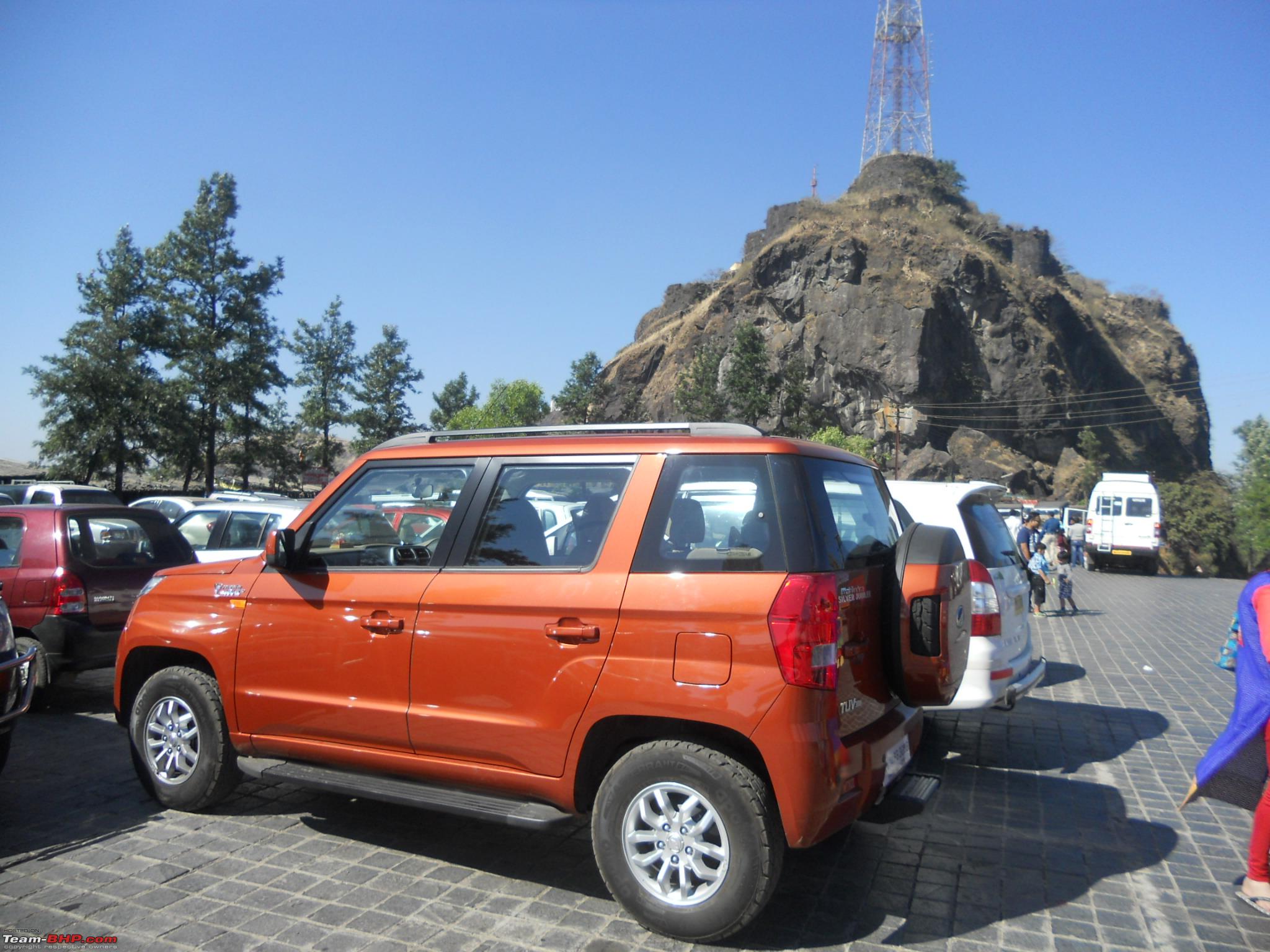
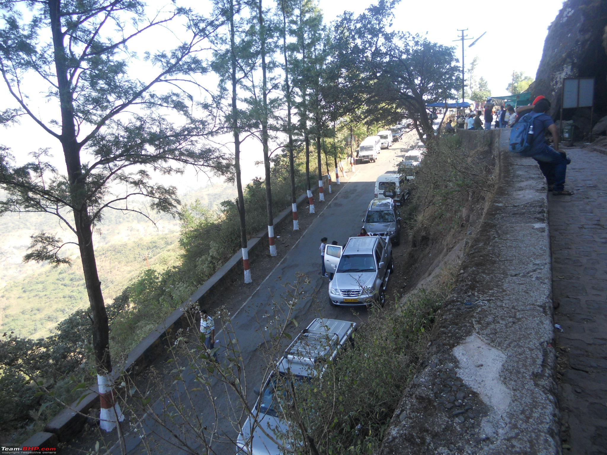
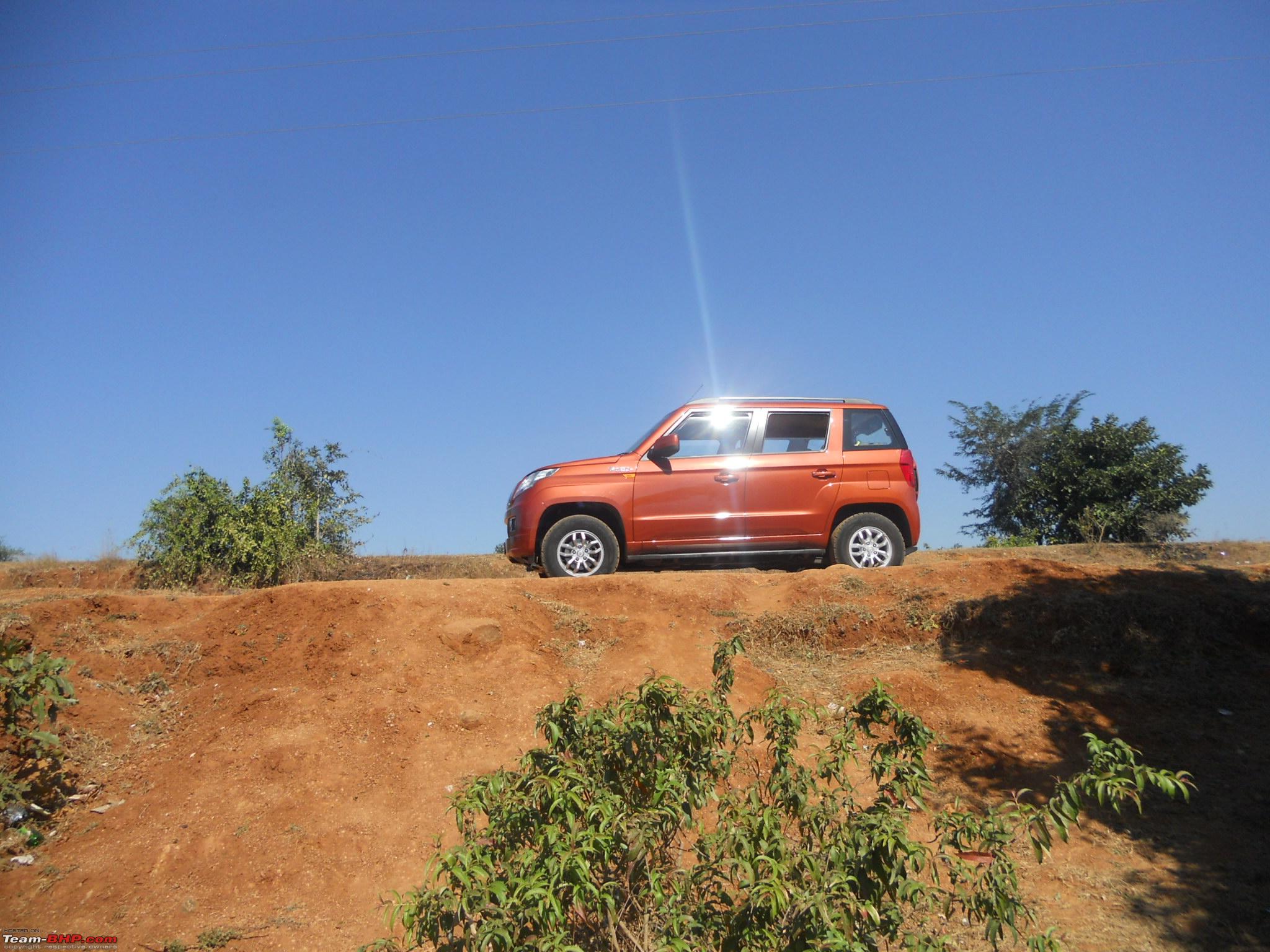
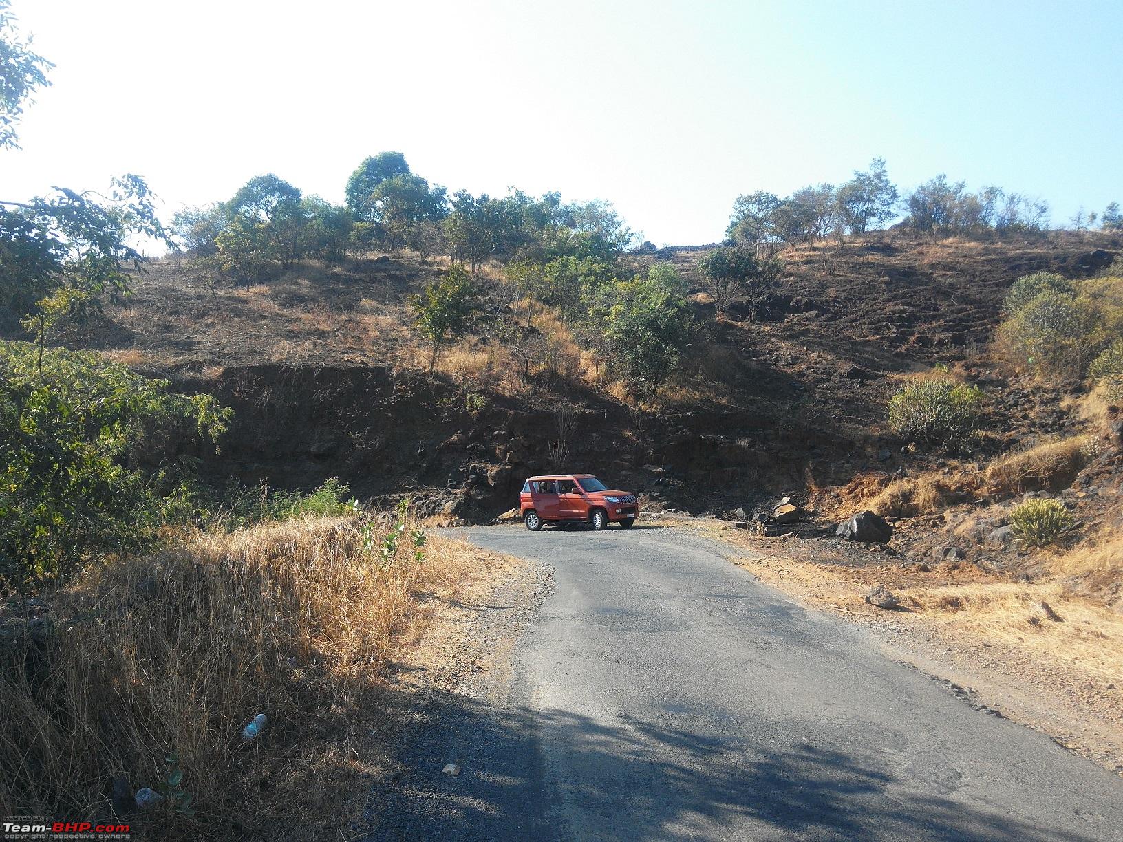
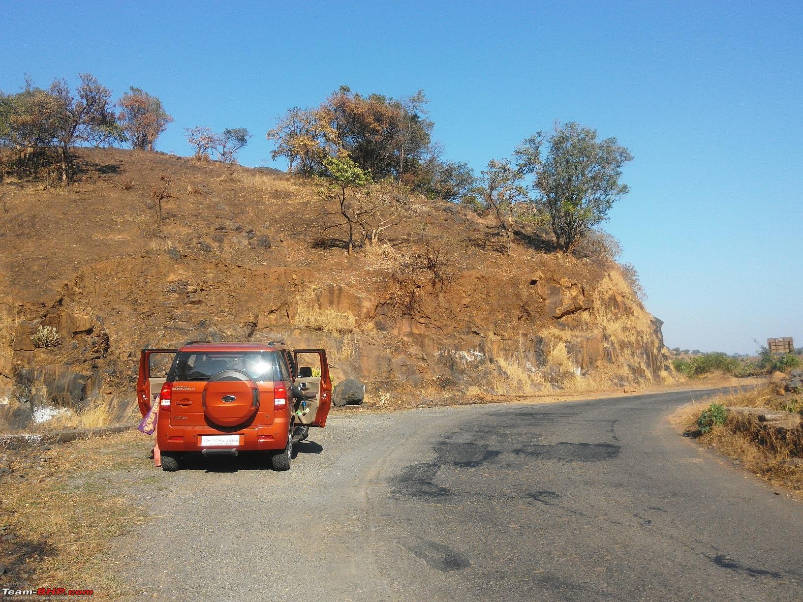
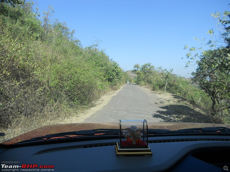
29-Cars parked right on the road leading to the fort

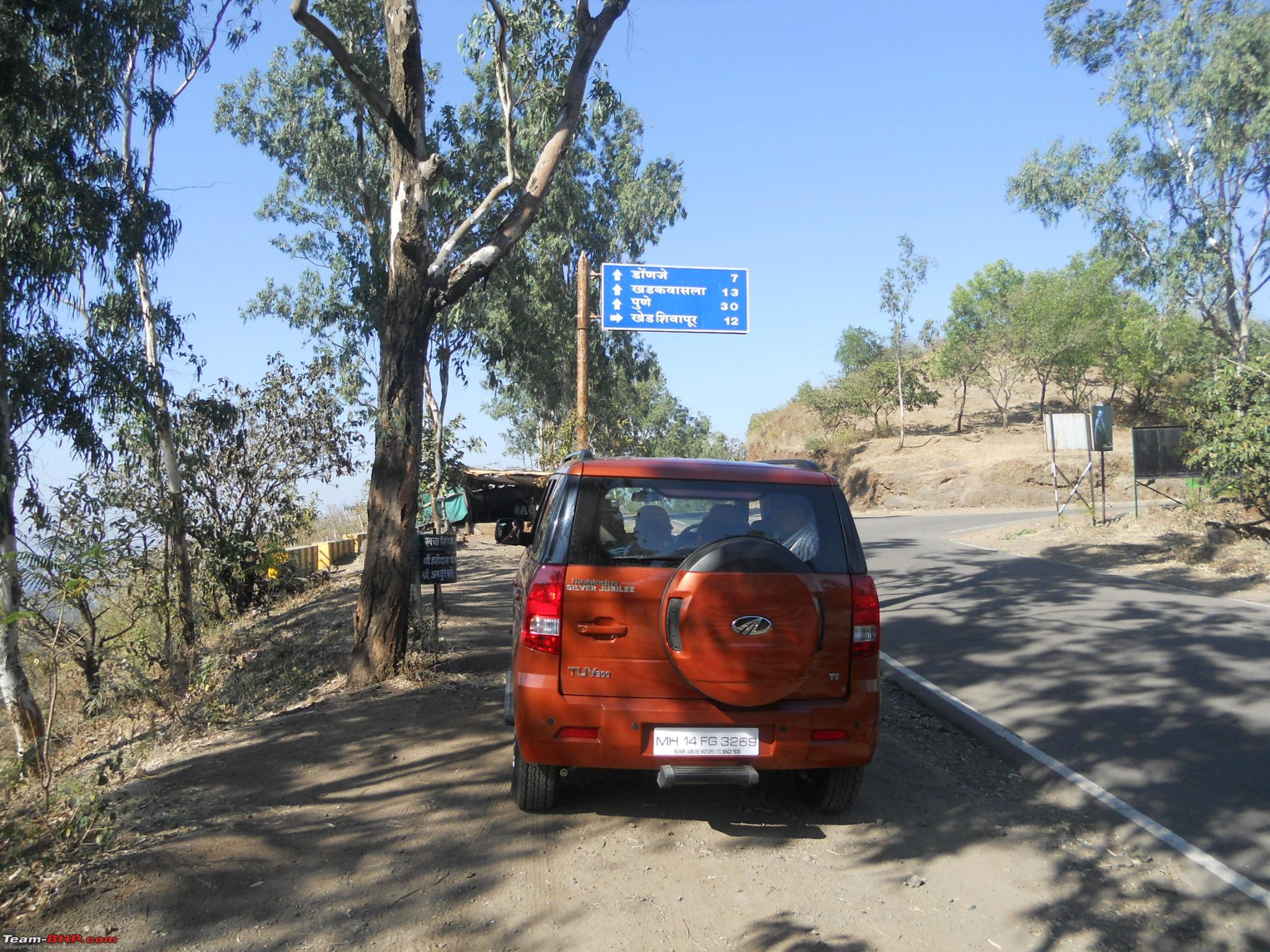
30-Straight road going to Pune and right diversion to NH4 (Khed Shivapur)

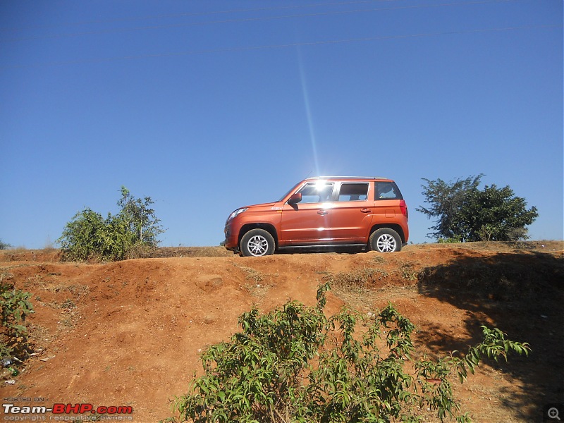
31-Orange tank thinking which way to go

32-The initial good patch of the road
33-Then came the very bad patch 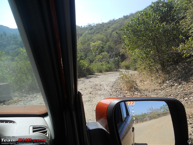
Fortunately the bad patch was just for 2-3 kms. After that the 8-9 kms road leading right to the highway was in pretty good condition
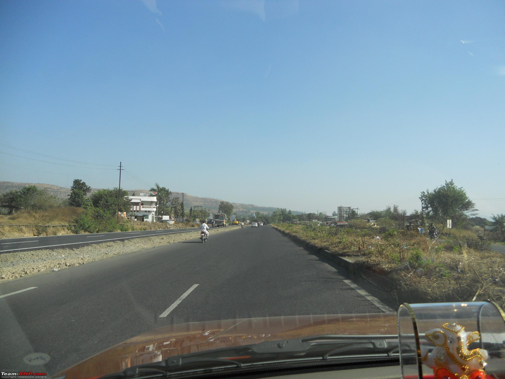
34-Now we were on NH4 
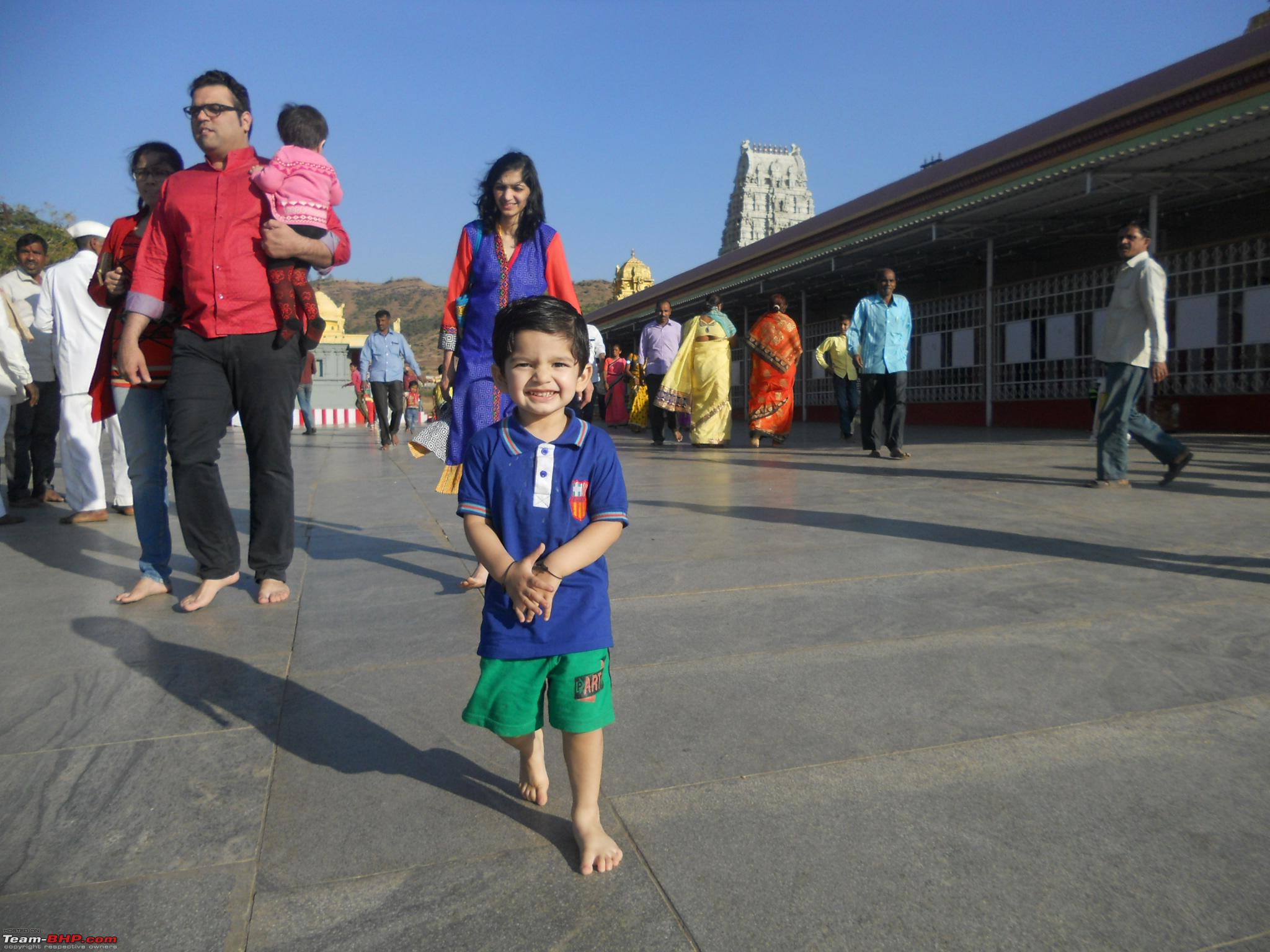
WHen we reached the Khed-Shivapur toll plaza we had to pay Rs 120/- as toll for return trip, wher we used the highway just for 10-12 kms. Few kms beyond the toll plaza we reached Kapurhol, where we had to take a left diversion to go to the Venkateshwara/ Balaji temple in Keth Kawale. We reached the temple @ 03:45pm, took the darshan, prasad and tea. Some snaps taken outside the temple (as cameras are not allowed inside the temple premises)
35-Kid enjoying the stroll on temple premises

36-Another view of the temple complex

37-Good plantation on the road leading to the temple 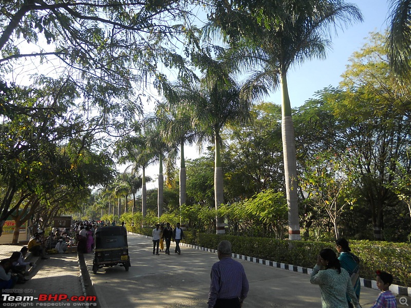
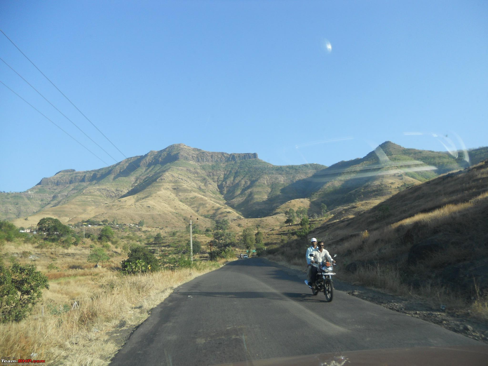
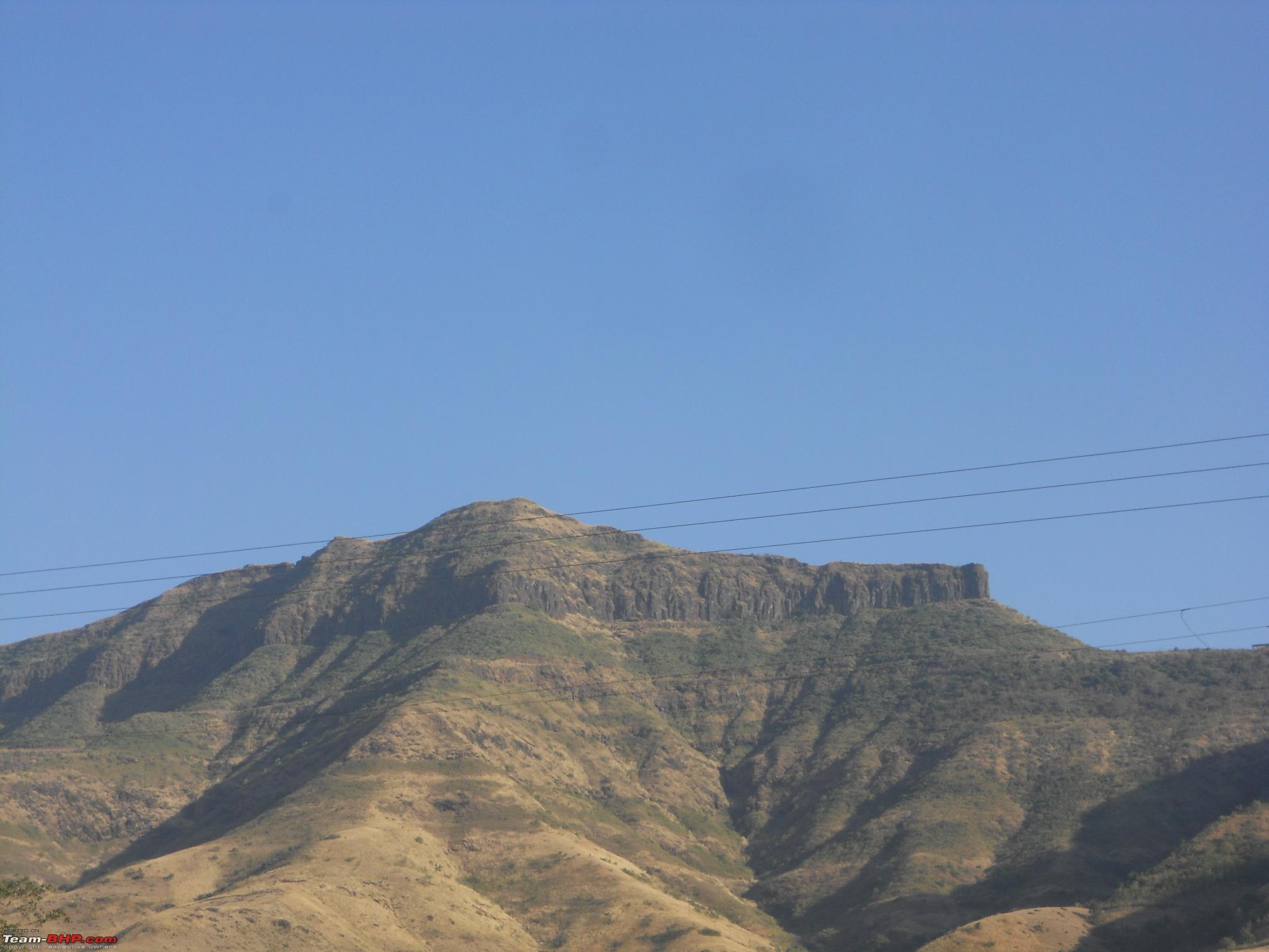
SInce we still had some time left at our disposal, we decided to proceed to Narayanpur. Enroute one can see the Purandar fort. Some snaps of the fort taken from the car.
38-Purandar fort shot#1
39-Purandar fort close up shot#2

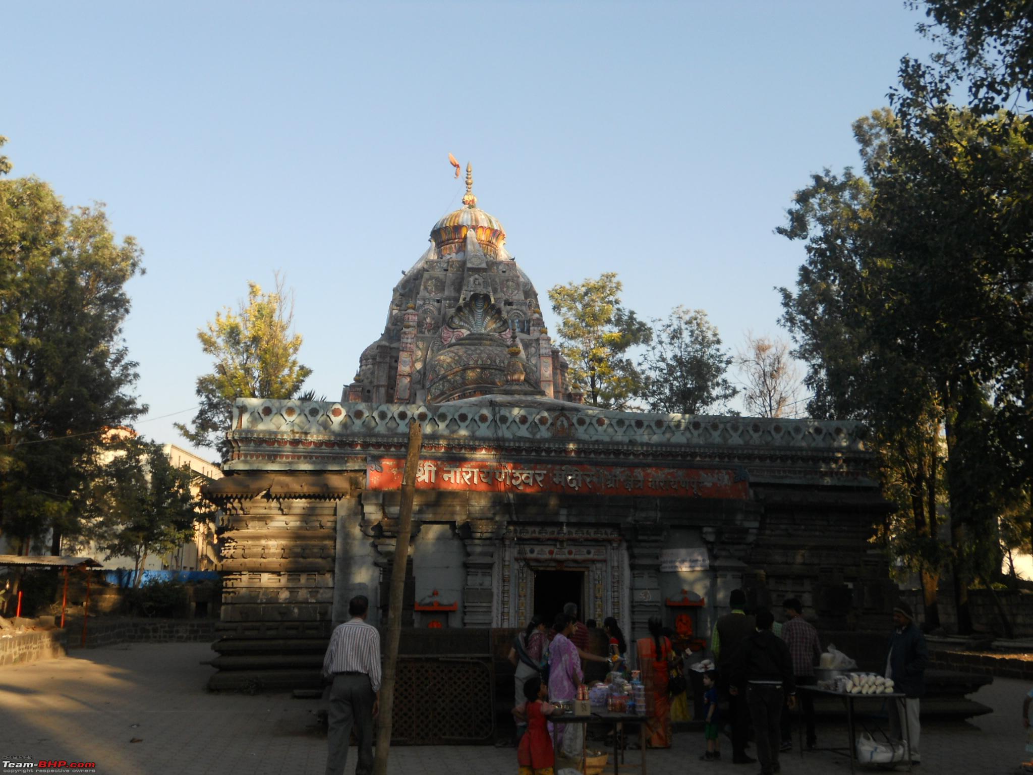
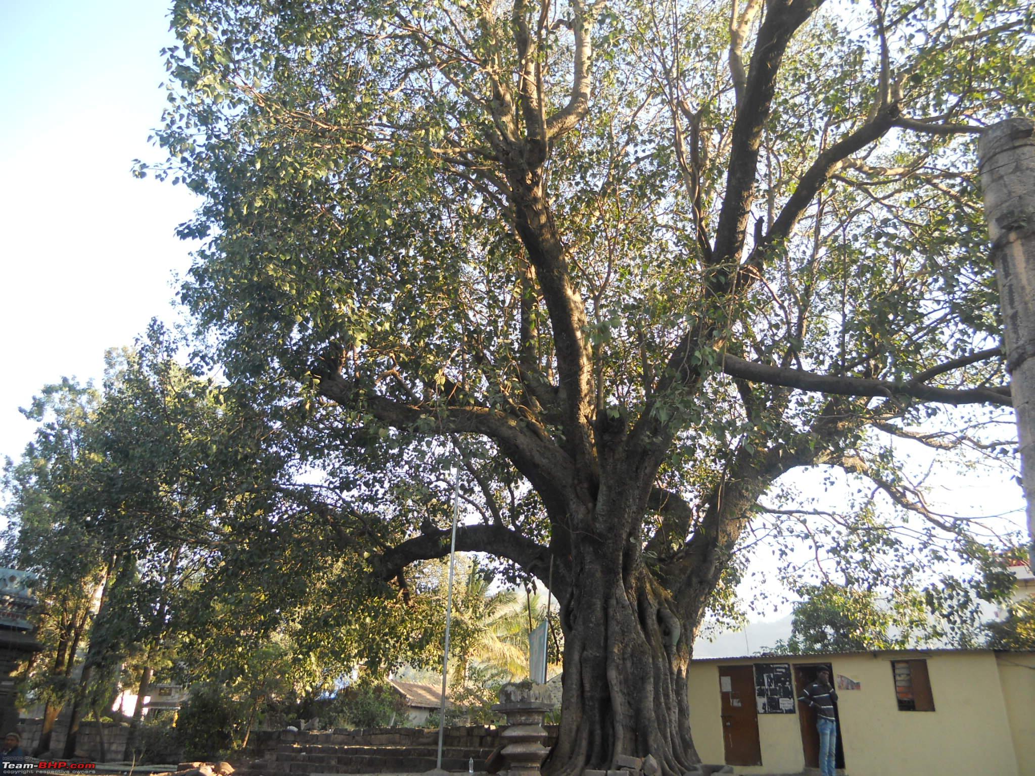
After about 9 kms and 20 minutes drive from Balaji temple, we reached the Narayaneshwar and Datta temple in Narayanpur. Some pictures taken there
40-The very old Narayaneshwar temple

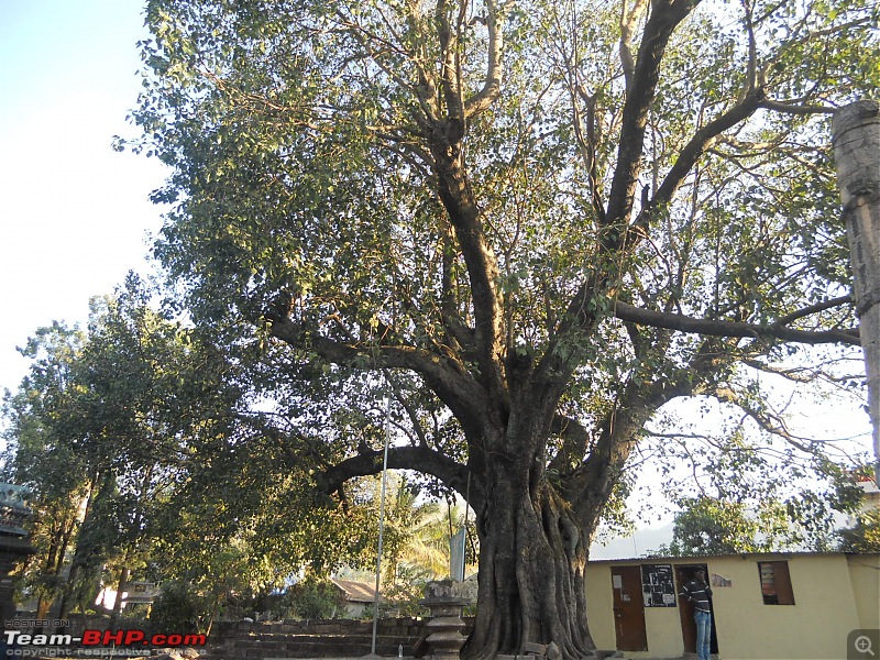
41-The huge Pipal tree right at the temple entrance
42-The beautiful flower decoration around the shivling

43-The recently renovated jagrut Datta temple 
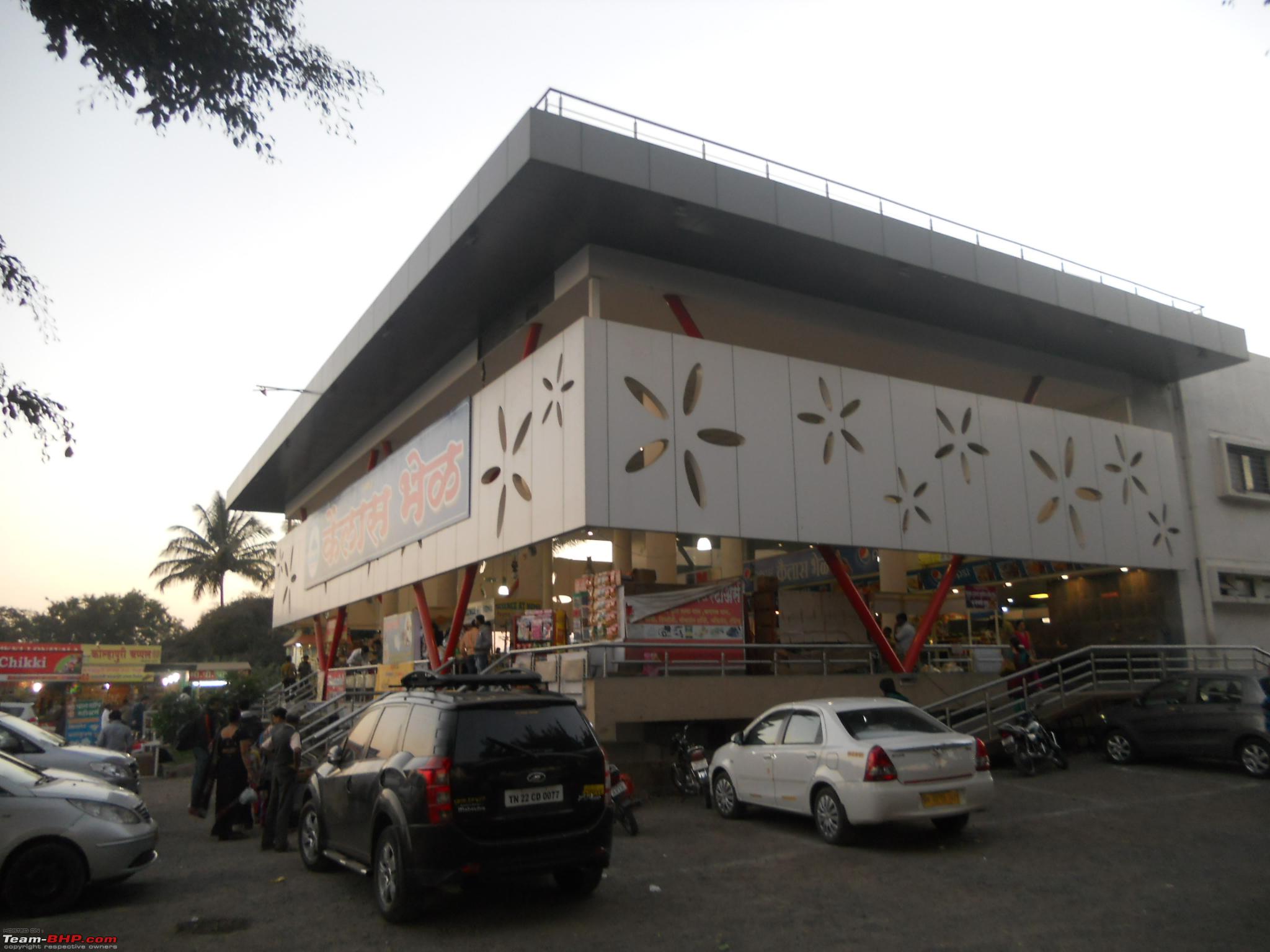
After spending half an hour in both the temples, we started our return journey to home. Enroute after the toll plaza we took a break to taste the yummy "Kailas Bhel" on NH4. The bhel and shev-puri were finger licking delicious. After spending half an hour over there, we reached home @ 07:30pm.
44-The famous Kailas Bhel joint on NH4 
Thus came to end an eventful first day of the trip.
Total distance covered
- 148 km
Travel time
- 04:49 hours
Stoppage time
- 06:41 hours
Day#2 30-Dec-2015 Shivthar Ghal (via Bhor and Varandha Ghat)
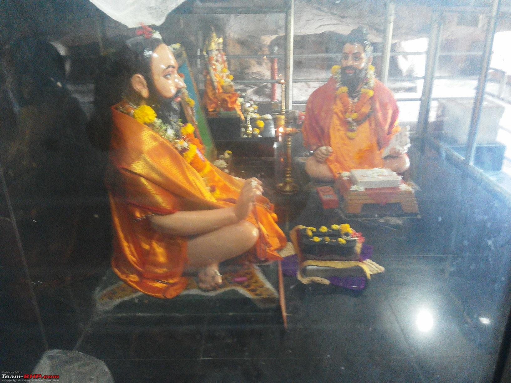
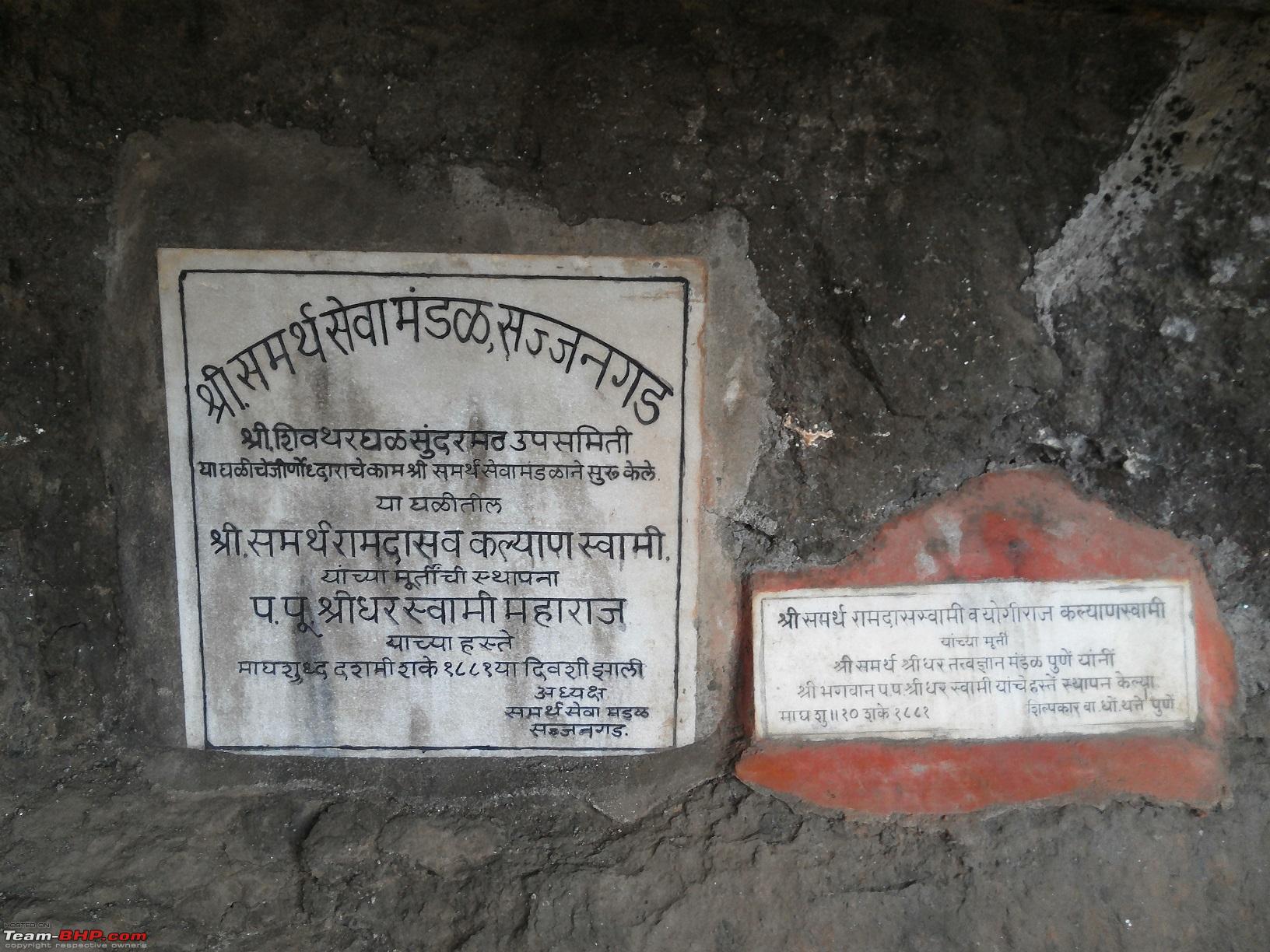
ShreeSamarth Ramdas Swami was a revered saint of 17th century. He was highly respected and followed by Chattrapati Shivaji Maharaj. Shree Samarth himself was a bachelor throughout his life, but he has written the most important granth/ novel on how to lead a happy life called "Dasbodh". The place where this novel was written is located amongst the most picturesque and serene surroundings of the Sahyadri mountain range, called Shivthar Ghal. In Marathi language, ghal means a "cave". Reaching this place is an adventure in itself.
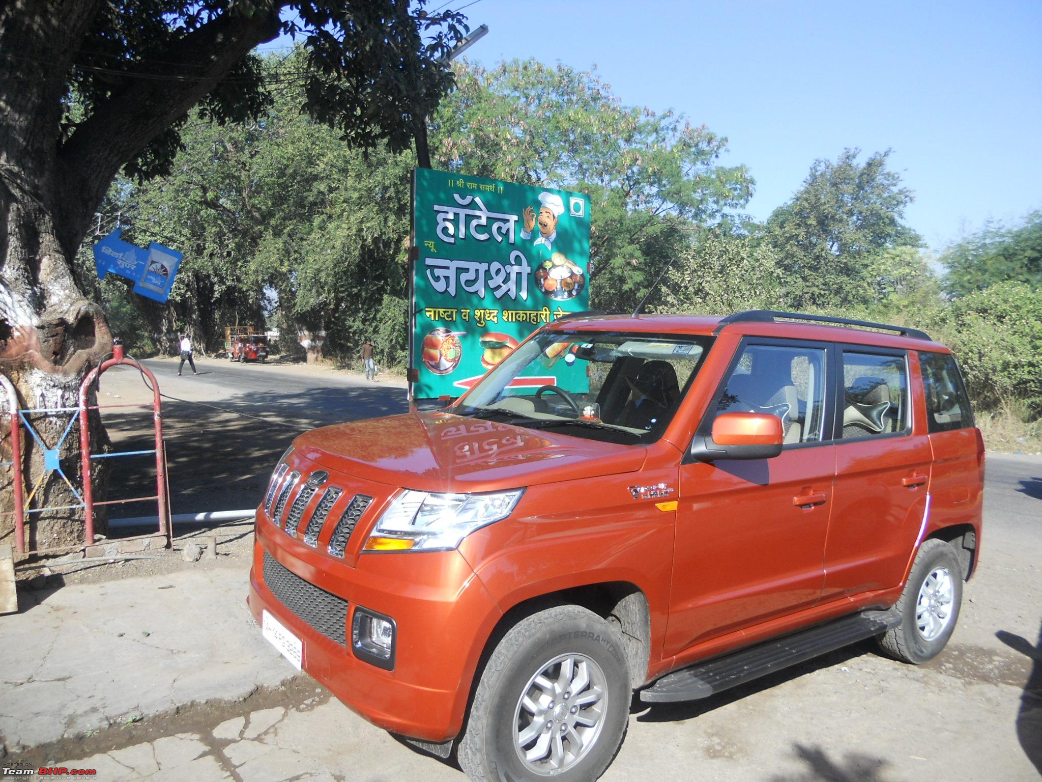
Again the same ritual followed the next day, getting up early, the ladies prepared the tiffins and off we started @ 09:00am. From Sinhagad road residence we touched the Katraj-DEhuroad bypass on NH4 and then the Ambegaon bypass on the via duct. The same toll receipt of earlier day was used as that was valid for 24 hours. We had to reach Bhor first. We had two options, take right from Kapurhol or take right from Shirval. Since we were not aware of Kapurhol diversion we decided to take the exit from Shirval. However due to road widening work most of the signboards have vanished and we missed the Bhor exit from Shirval. Fortunately we missed it by few hundred metres and took the first available "U" turn. We wanted to have breakfast at the Sriram joint on NH4, but missed that as well. Road to Bhor was pretty decent. On reaching the town, we discovered a small but very good hotel, Jayashree. Had Misal-Paav, Vada Rassa and Pohe for breakfast with tea.
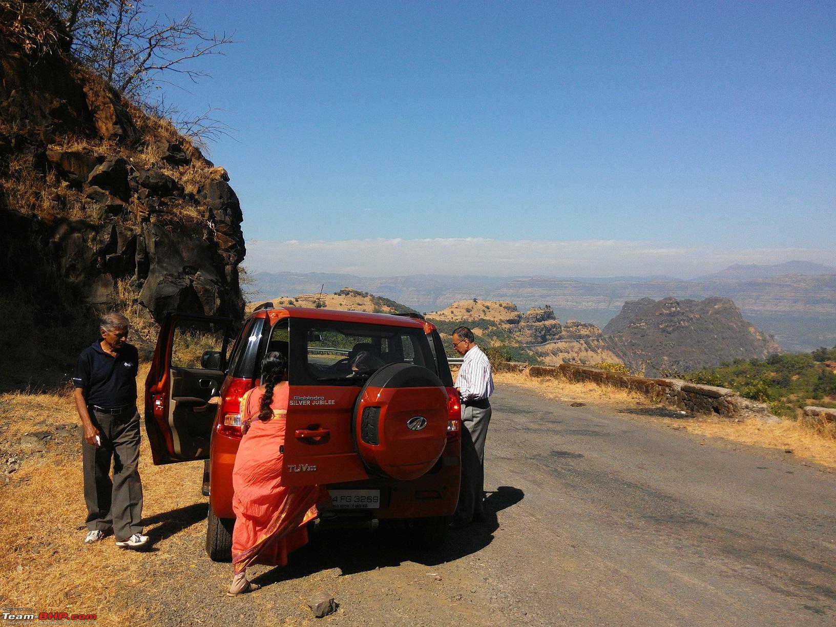
01-Orange tank parked in front of hotel Jayashree

02-Another shot of the tank in front of the hotel

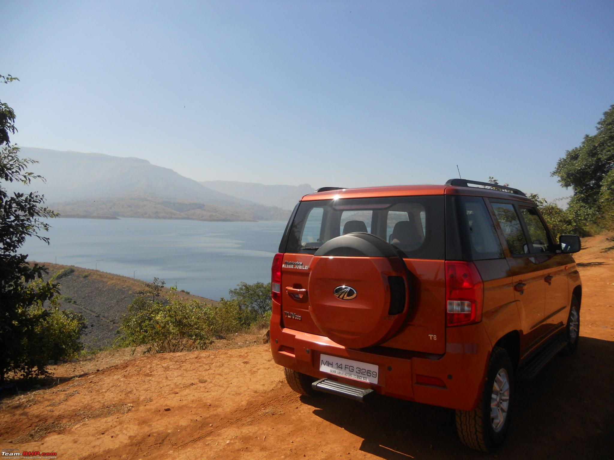
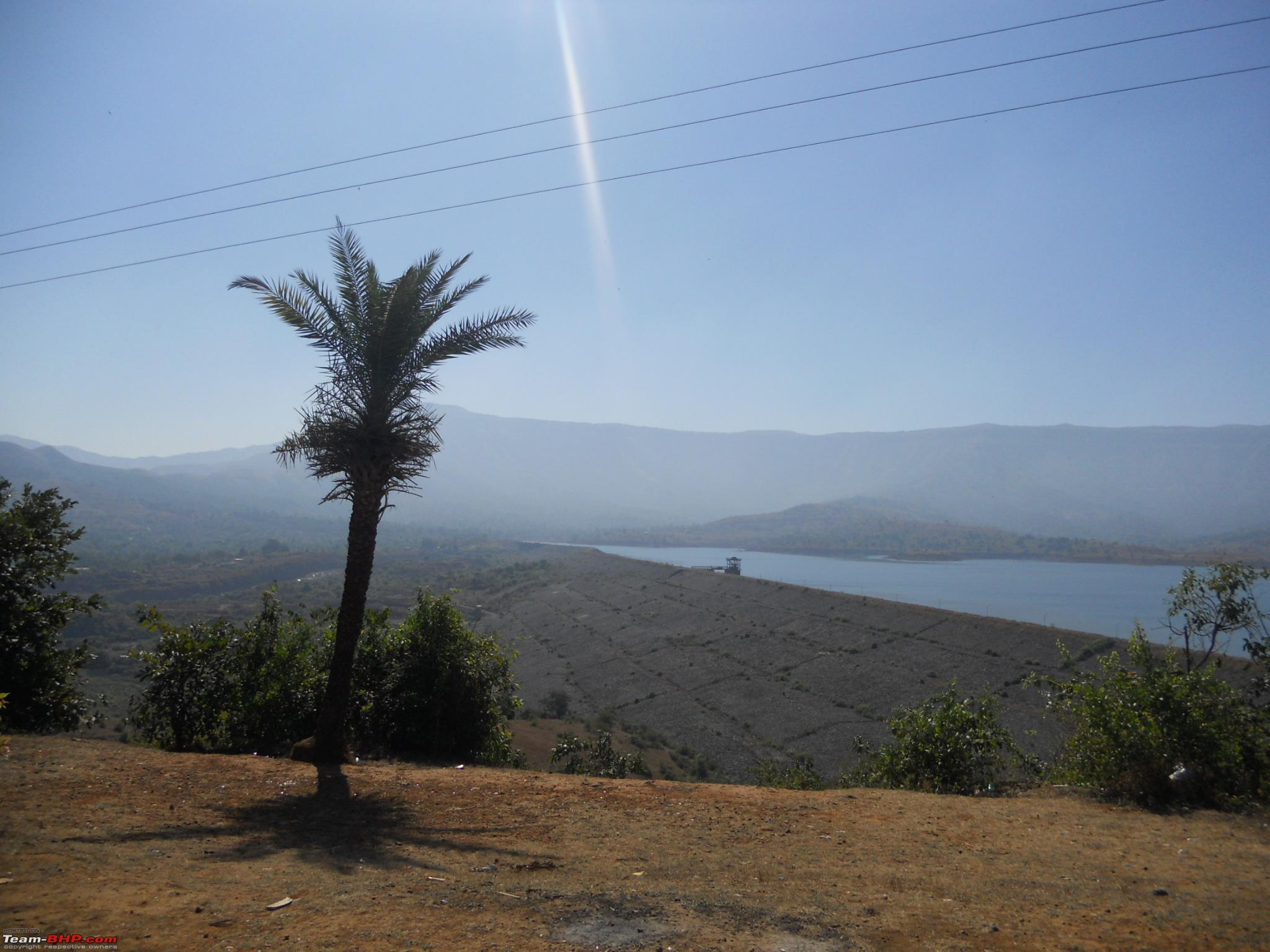
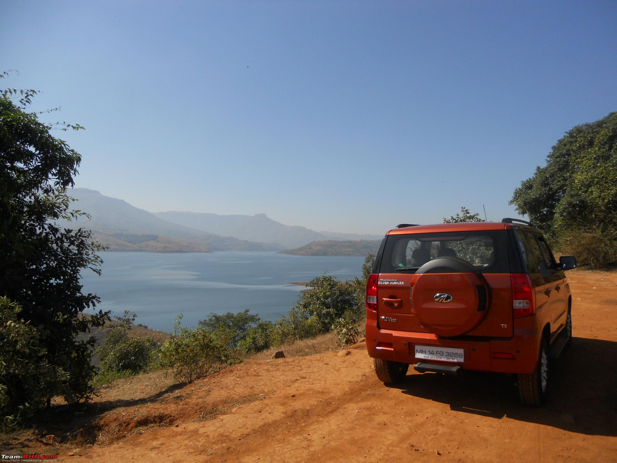
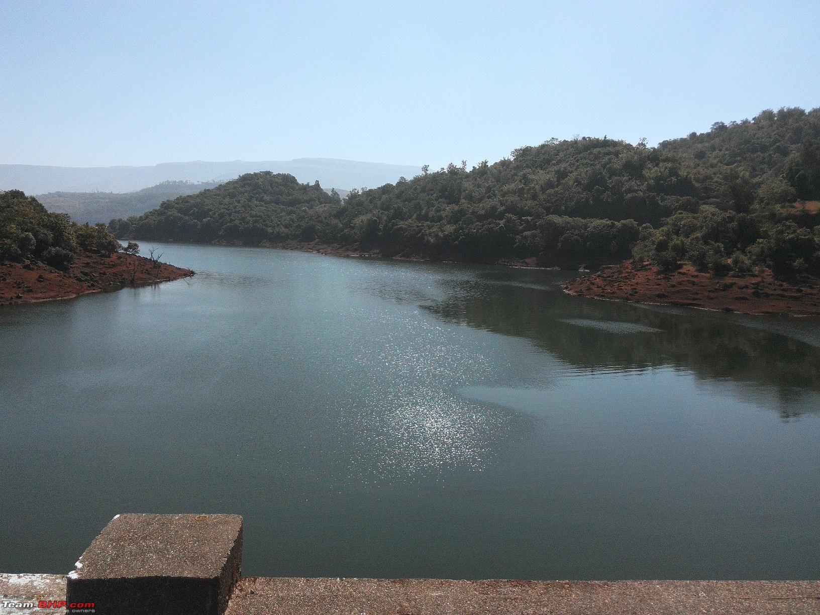
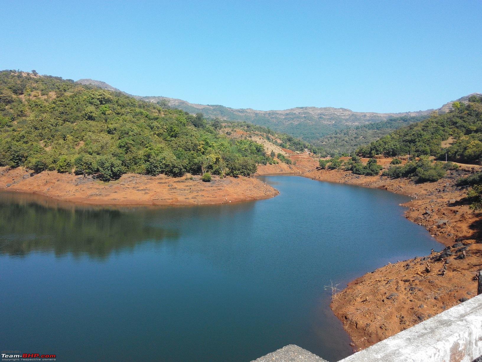
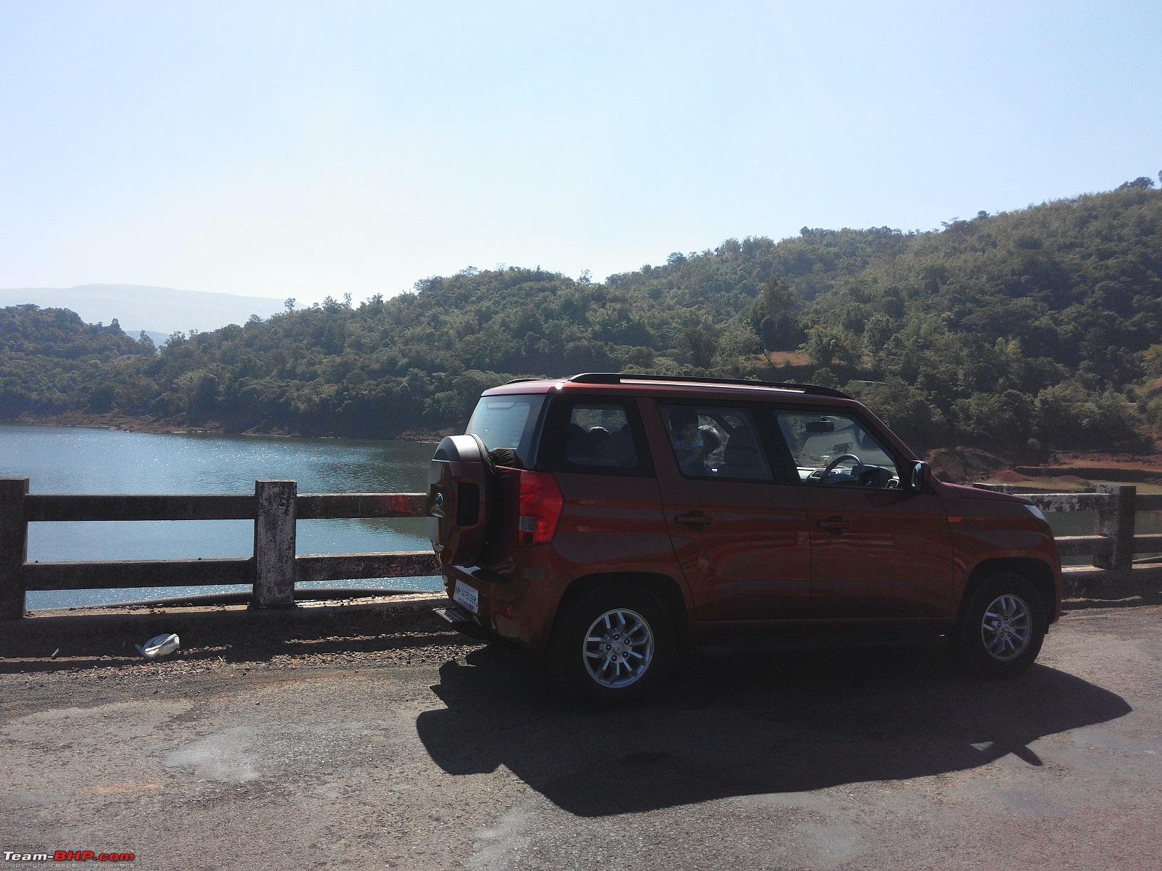
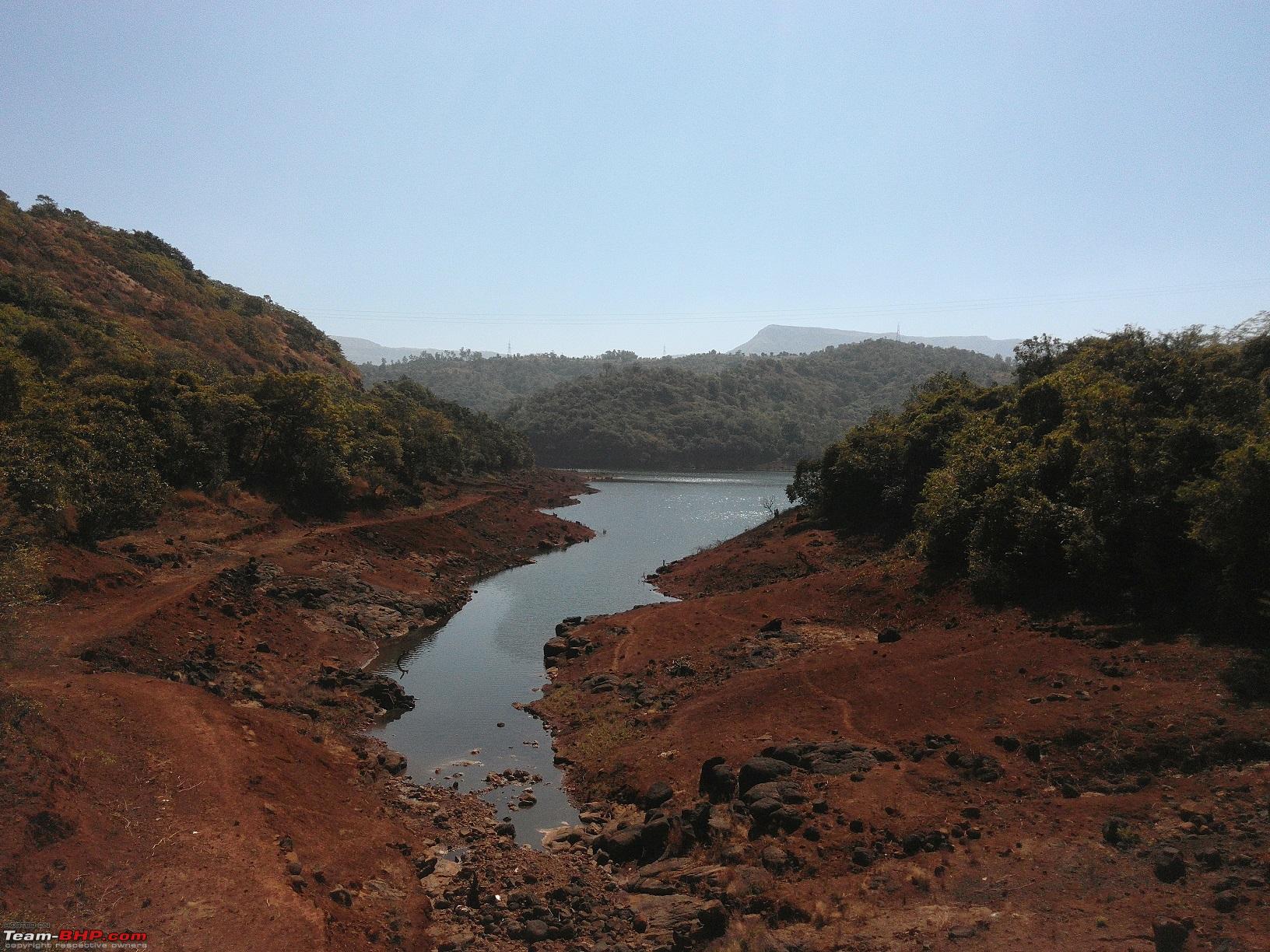
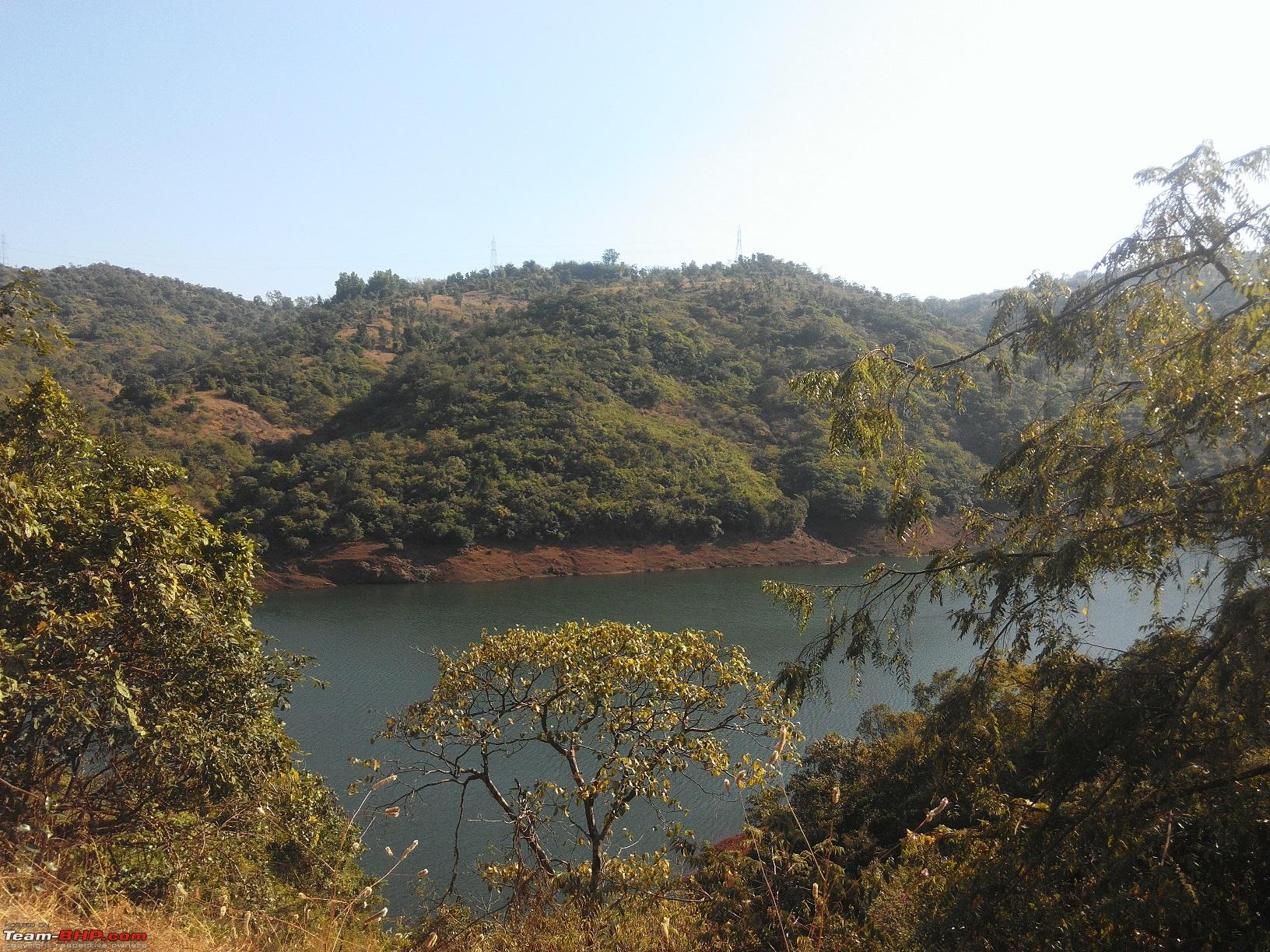
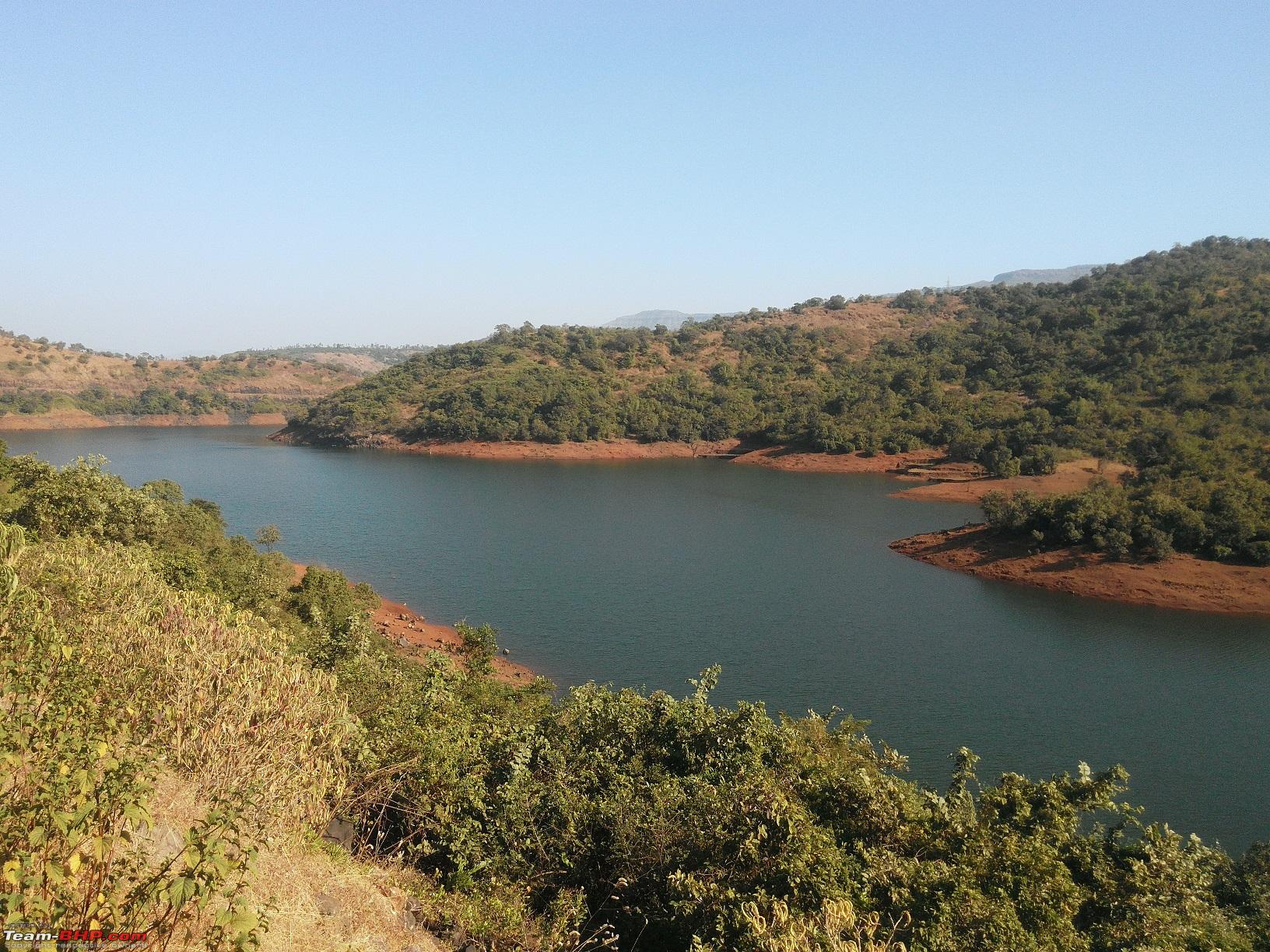
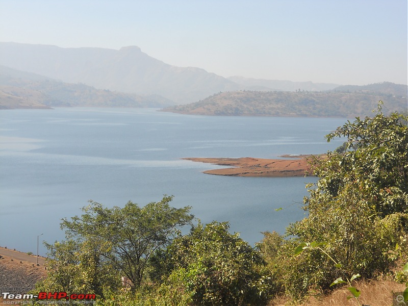
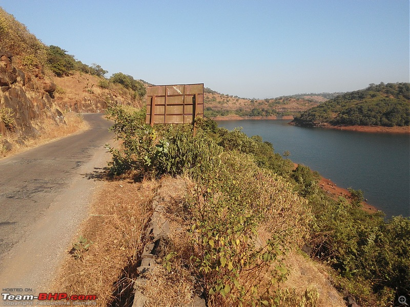
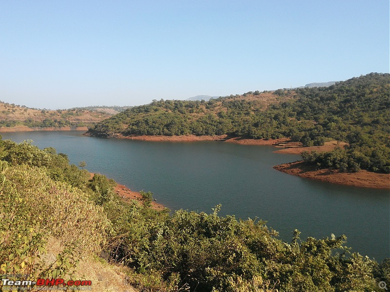
We then proceeded straight out of the town. After about 17 kms we came across a beautiful spot, that of the Nira-Devghar dam. Time for photo shoot
03-The first sight of the dam

04-A lone palm tree overlooking the dam wall

05-TUV admiring the serene dam waters

06-TUV seen from far away
07-TUV as seen up close
08-Time to leave this beautiful site

09-One last parting shot of the dam
10-The winding road through lush green trees beckons
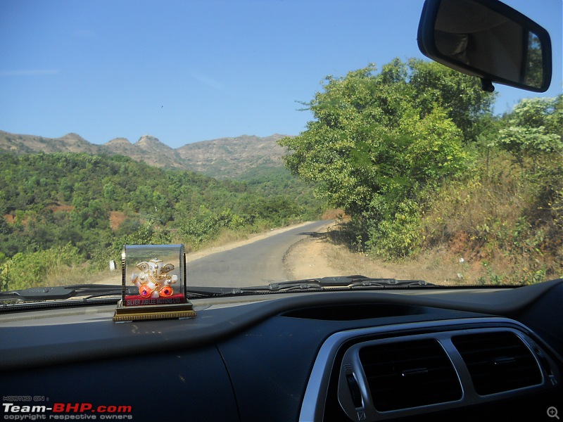
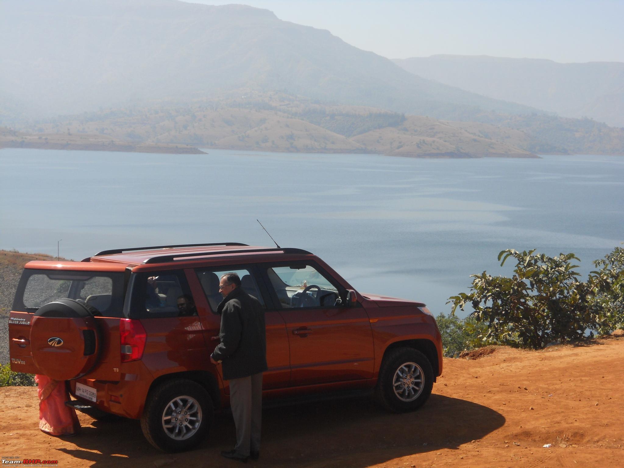
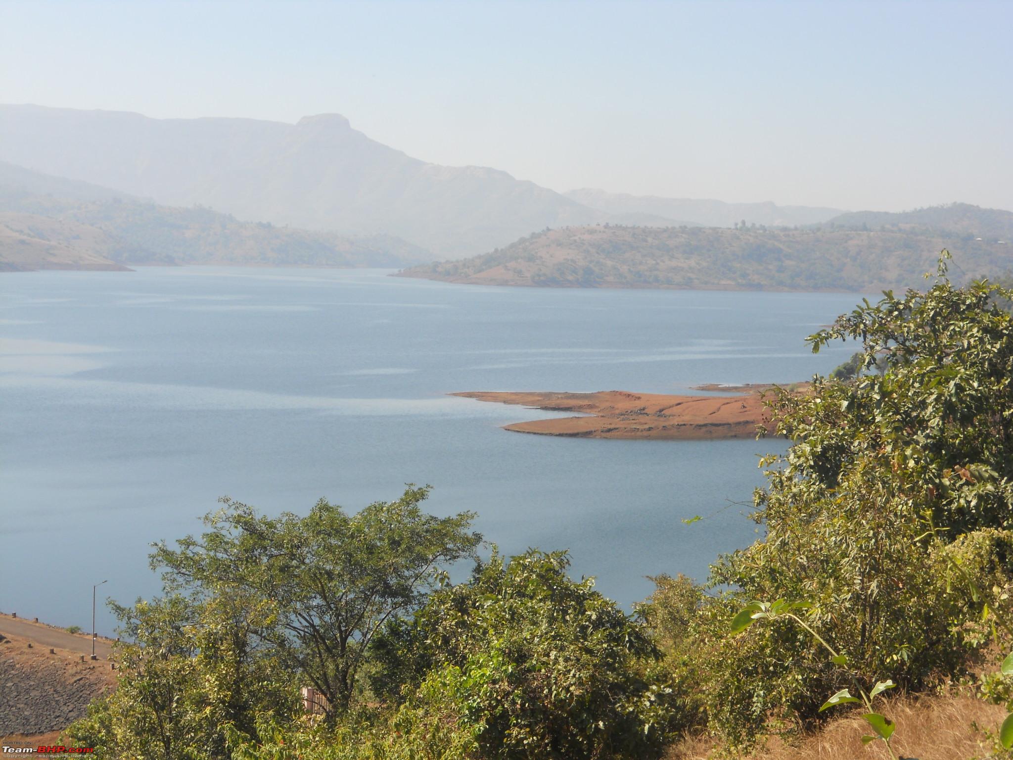
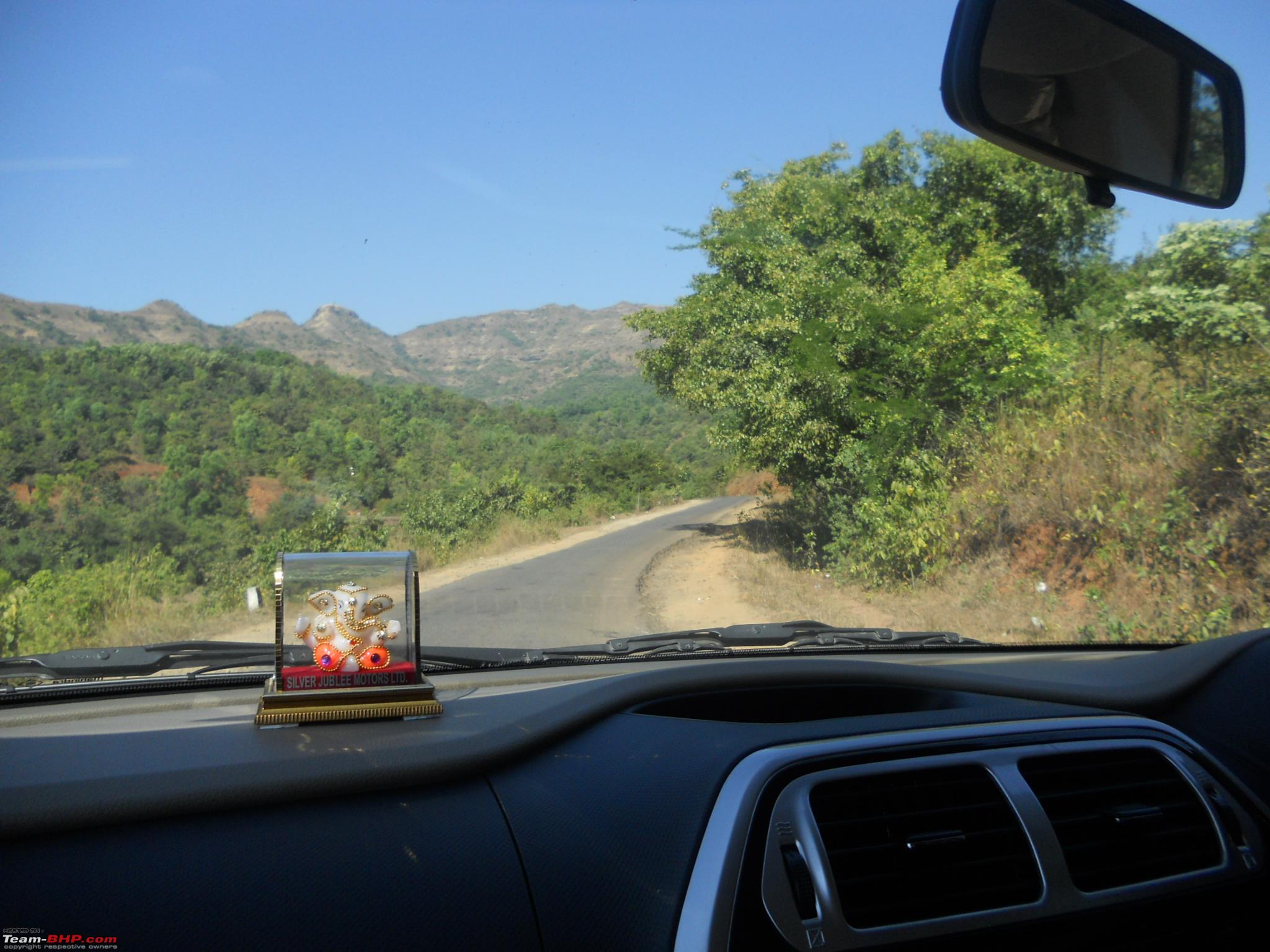
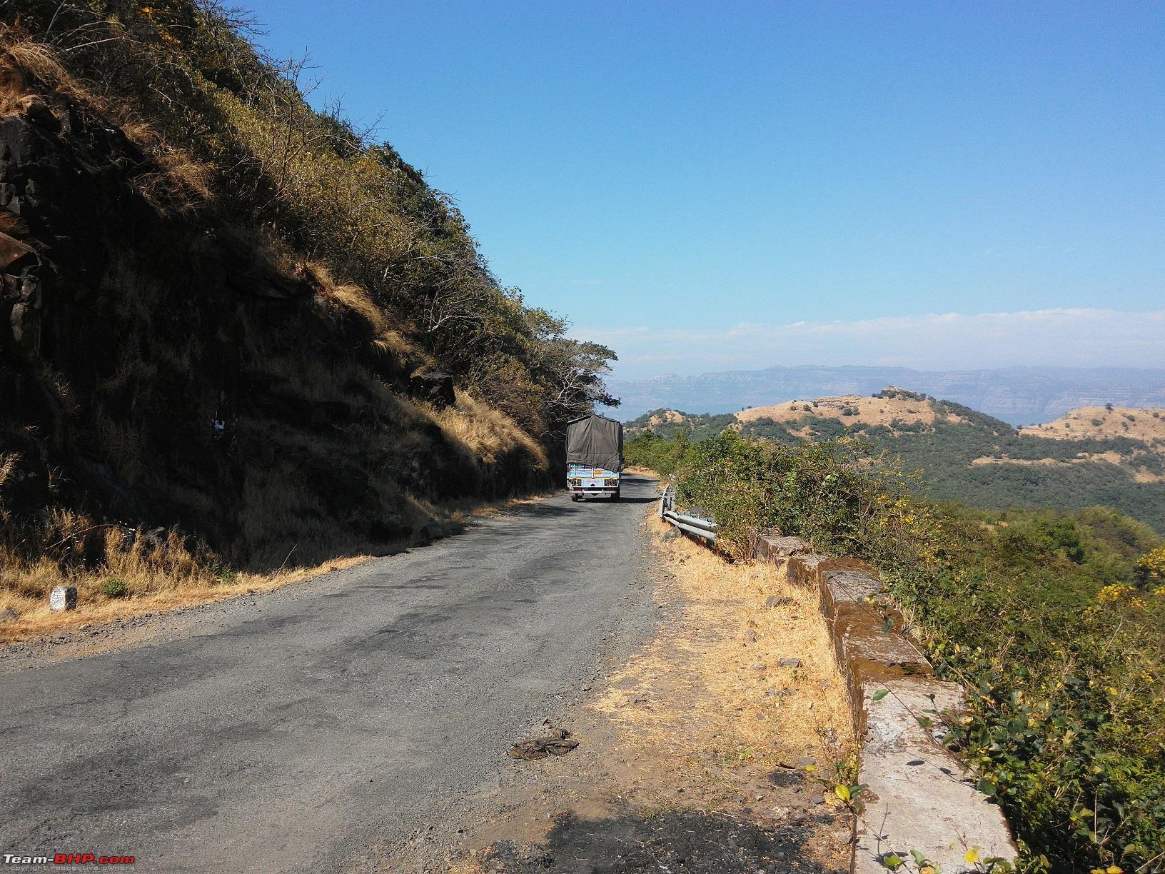
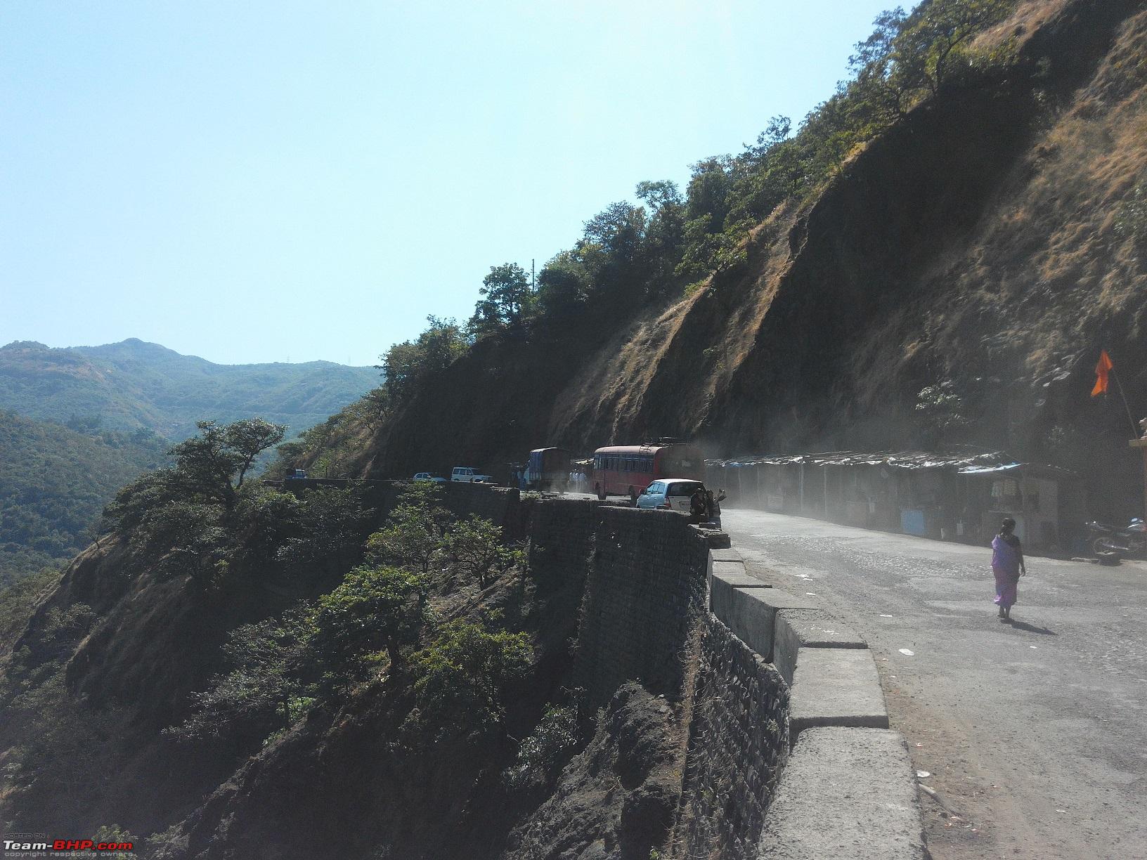
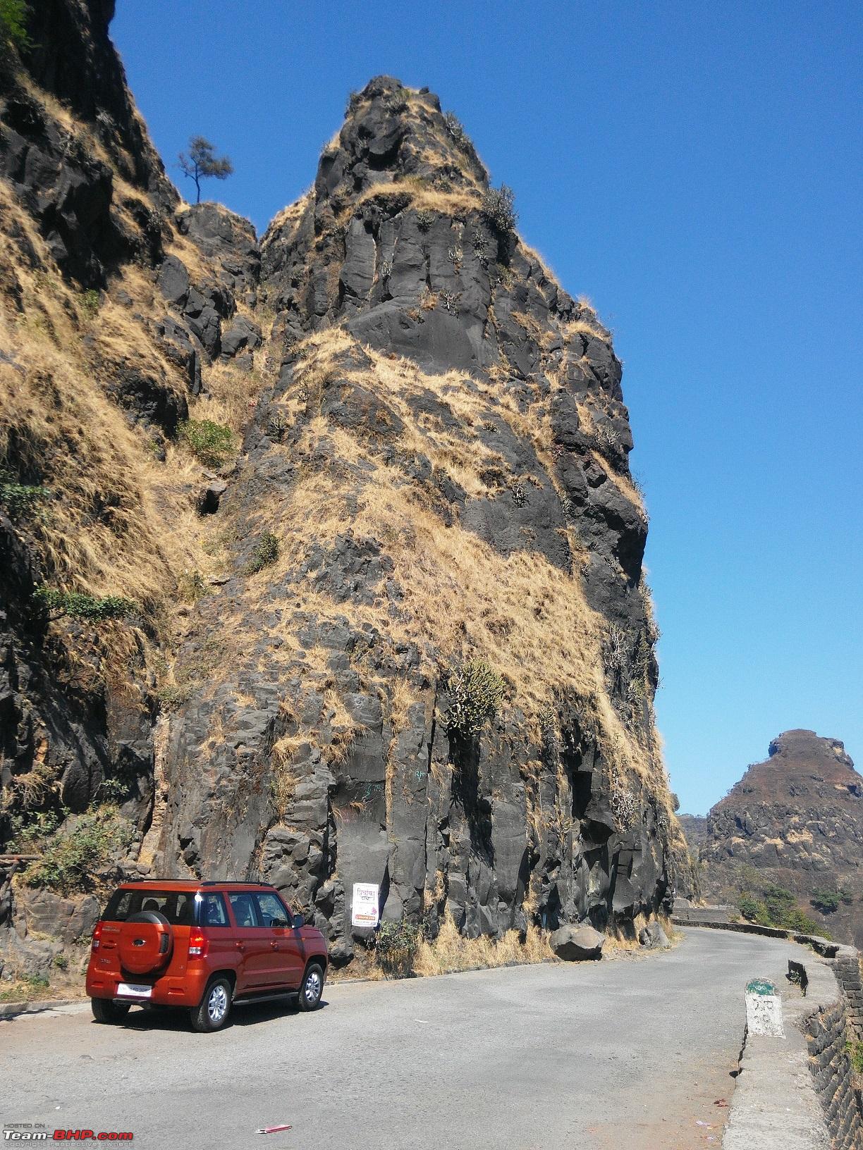
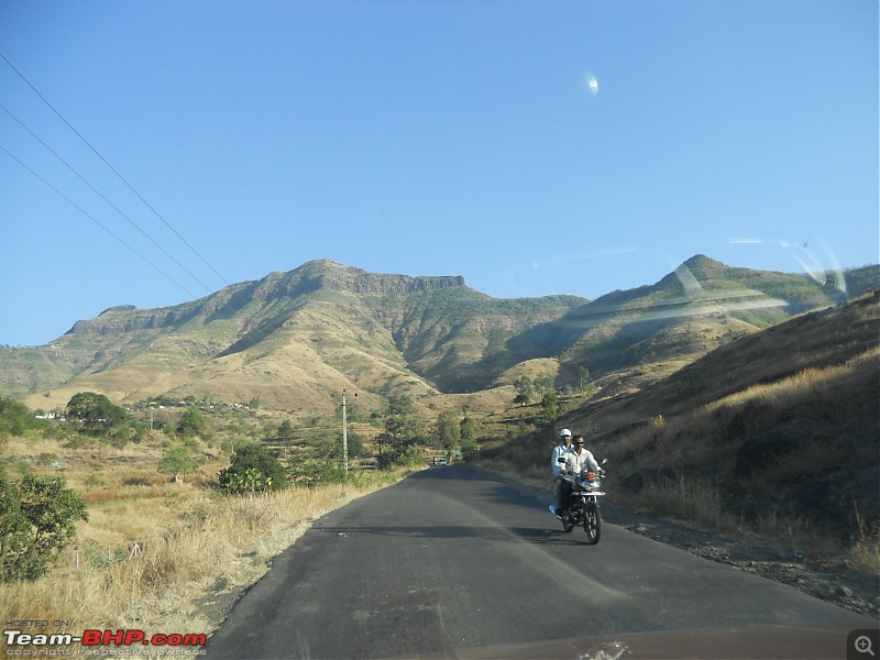
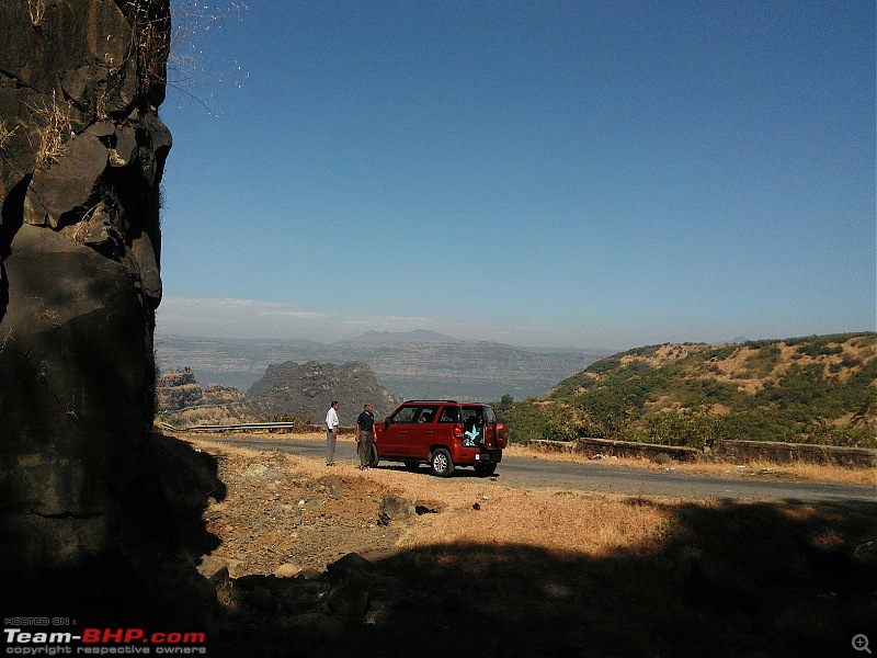
After playing hide and seek with the backwaters for almost 25 kms, the water on the left hand side suddenly disappears, you climb up in the jungle and when you are thinking that this is the end of the beautiful game the water was playing, there comes a sight to behold, the deadly Varandha ghat, with deep valleys and mountains surrounding them appear from nowhere. The enormity of the mountains and valleys make us feel that we are a mere dot in this creation of nature. There is a tiny hamlet at the end of this ghat called "Varandh", hence the name of the ghat. Enjoy the pictures
20-The first sight of the Varandha ghat. The thin white line running across the central mountain is the road
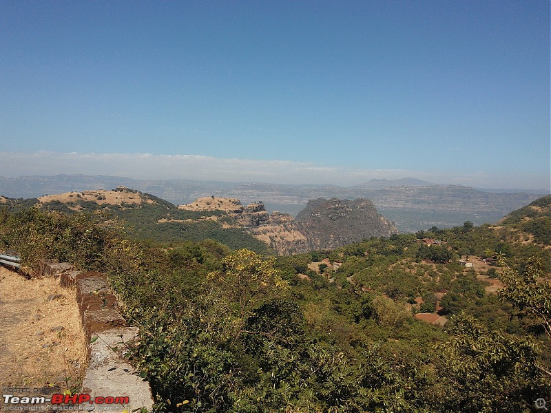
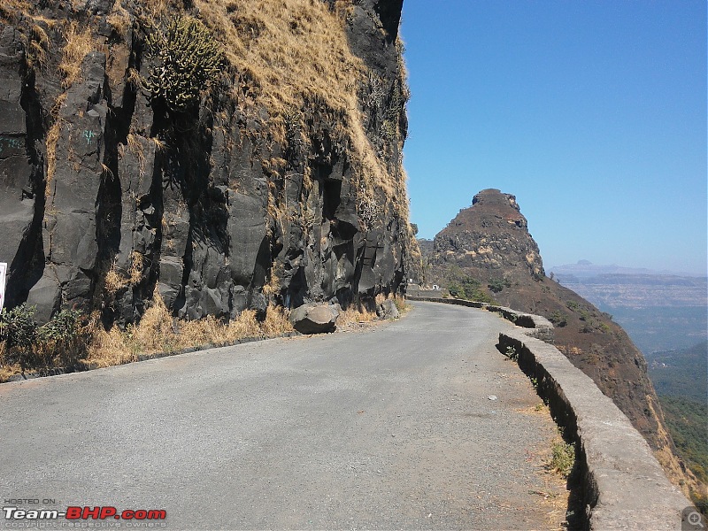
21-Straight stretches like this are far and few between, else it is only curves and bends all throughout

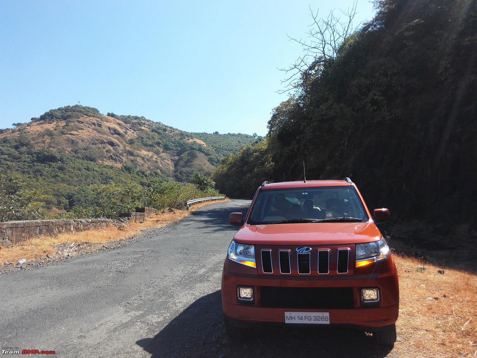
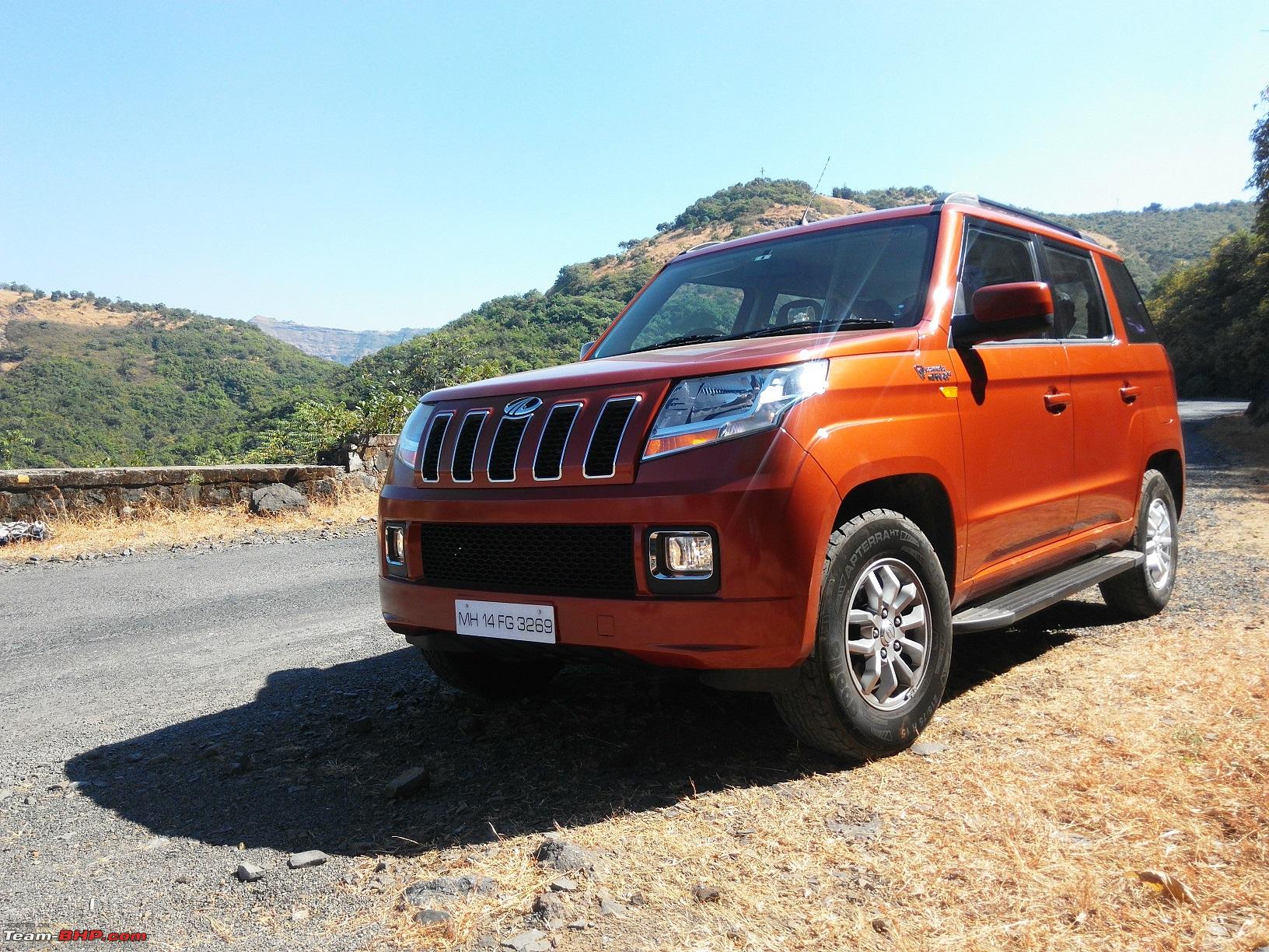
22-TUV getting the feel of the Varandha ghat
23-Another view of the TUV in the ghat, notice the fogs are on

24-TUV still admiring the beauty of the nature

25-TUV as seen from some distance behind a rock cliff
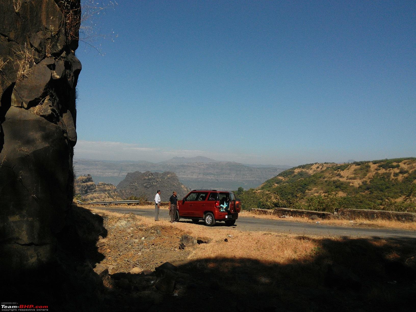
26-Everyone's getting in and gearing to go for the next stop

27-The road side stalls are thronged by revellers when this place is dotted by numerous waterfalls in monsoon

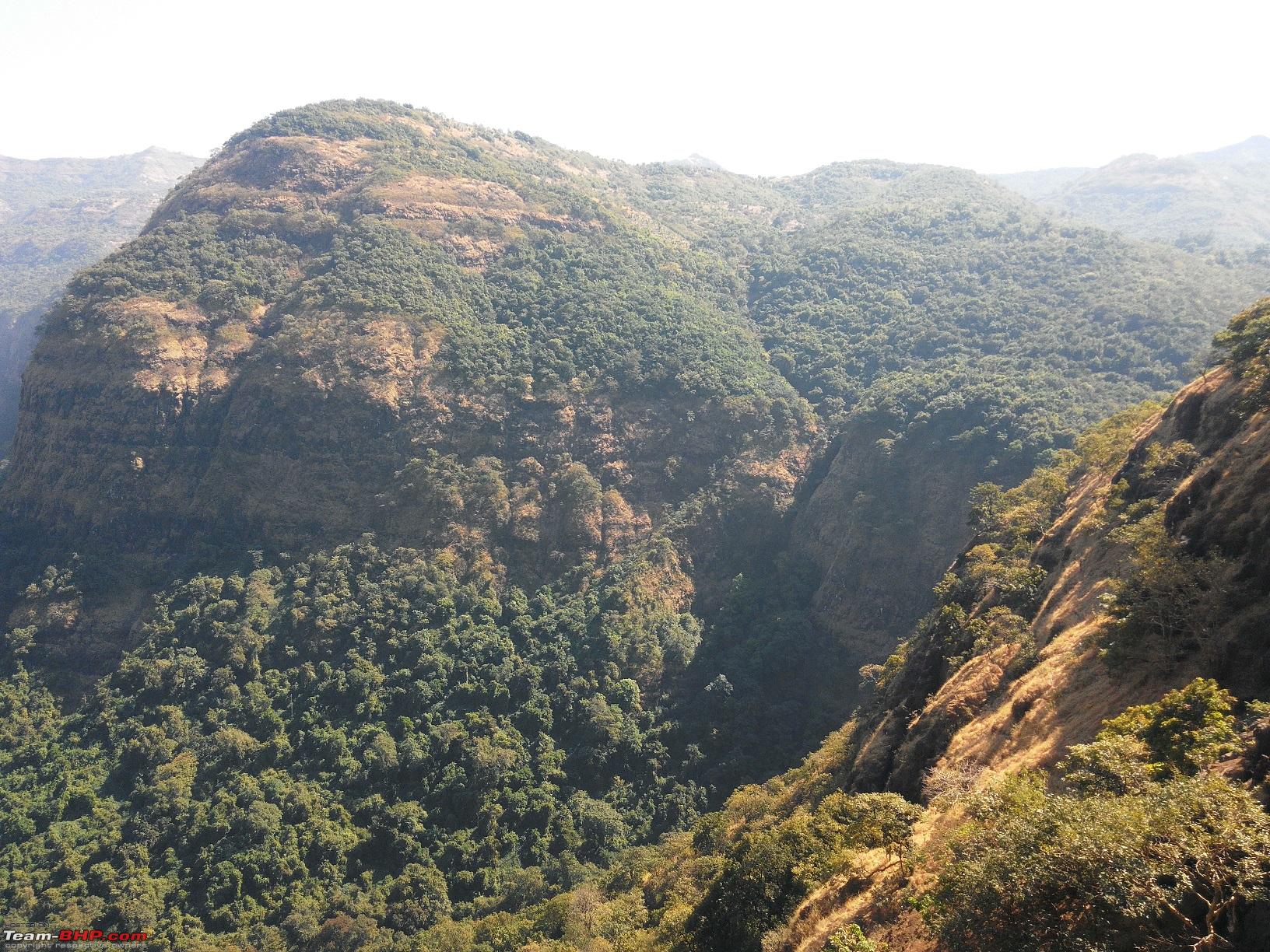
28-Valley seen up - close

29-Another view of the valley, observe the various rock layers, awesome view (Grand Canyon-esque?)

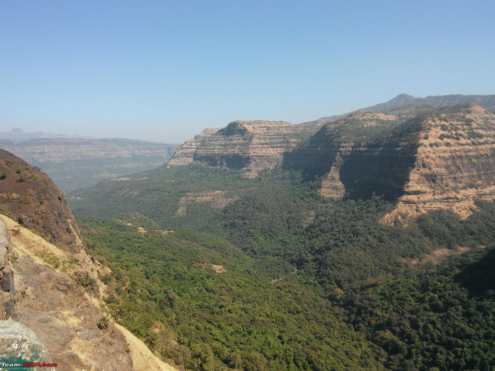
30-The road simply disappears from here
31-TUV hunting for the road ahead

32-Vertical shot to cover the whole cliff 
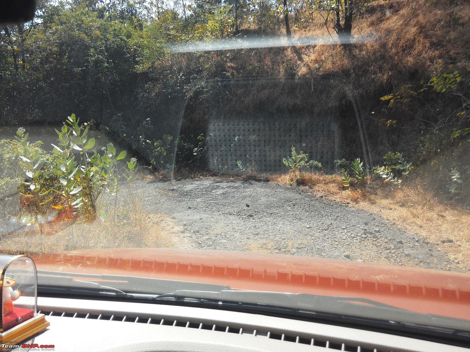
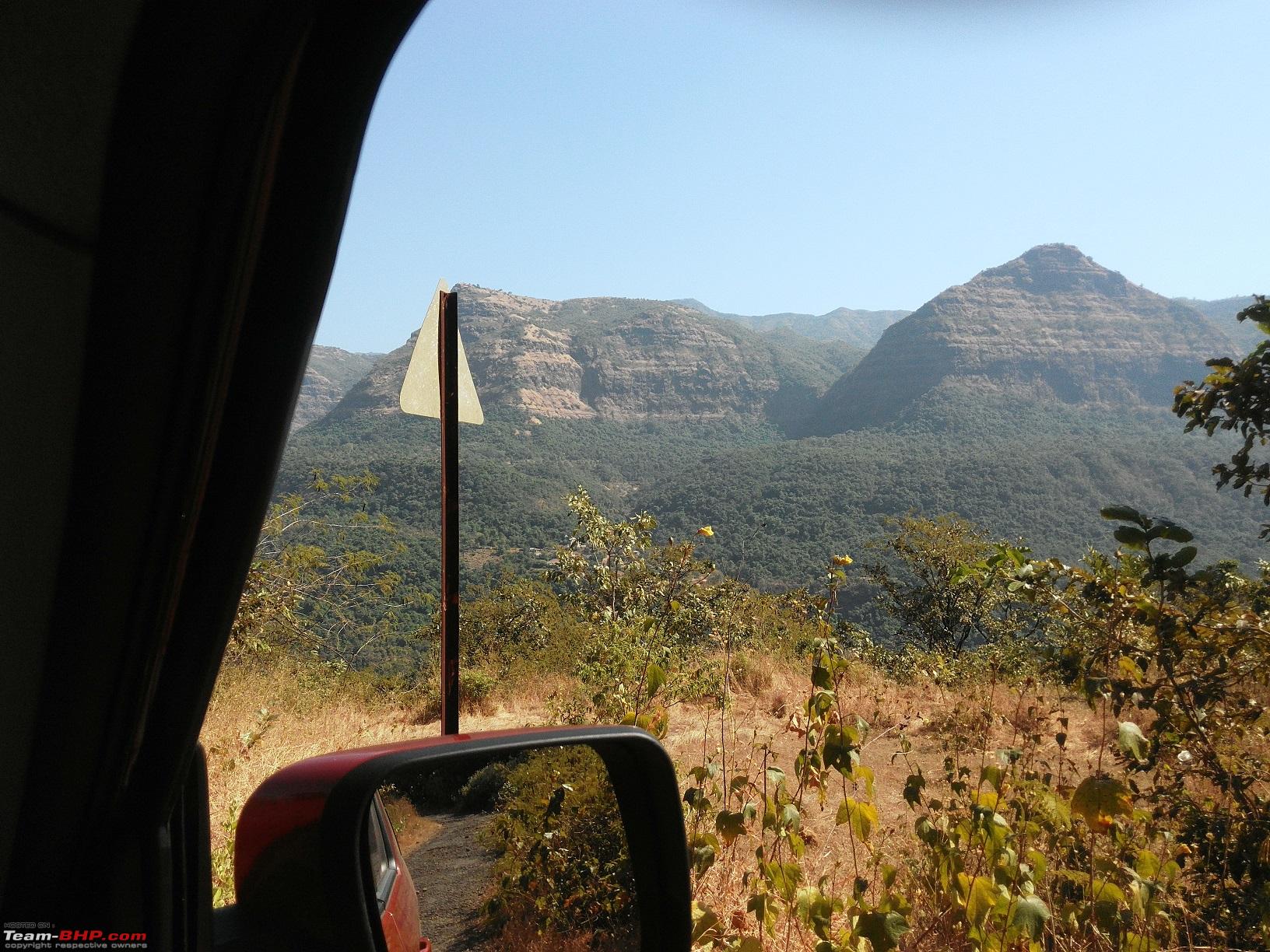
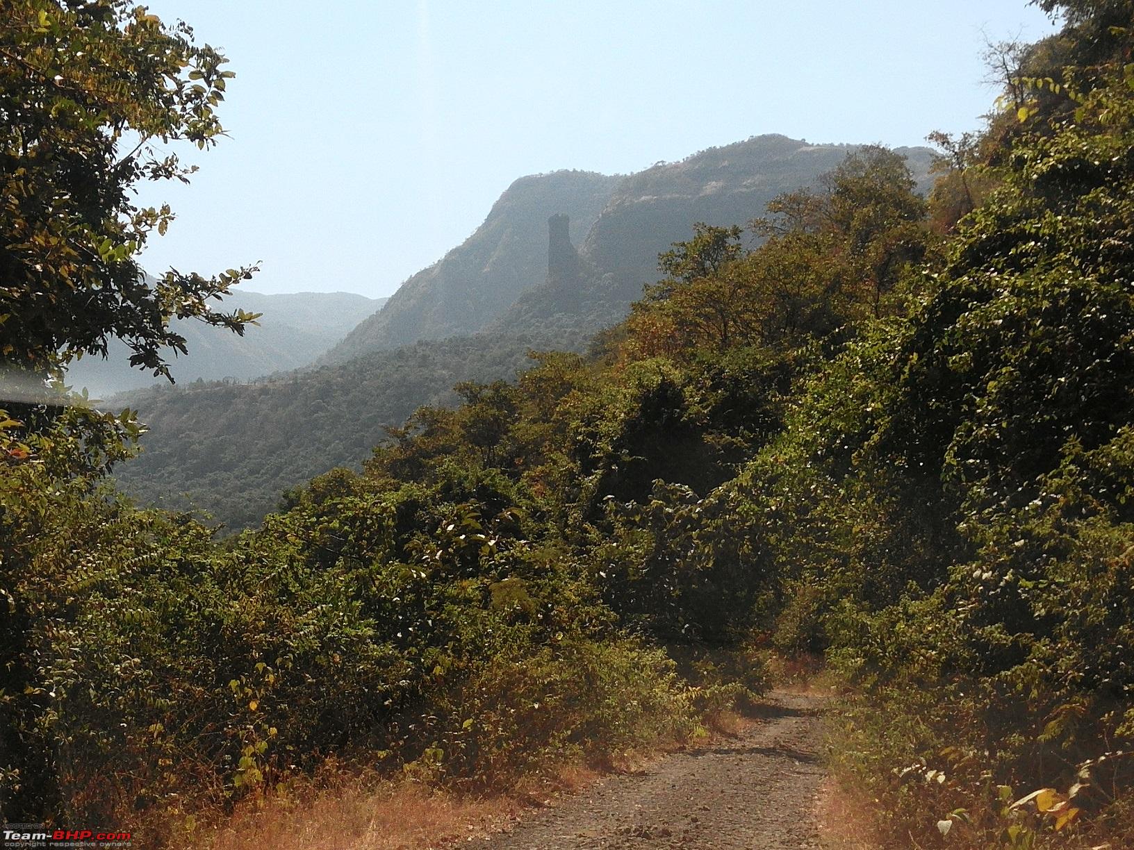
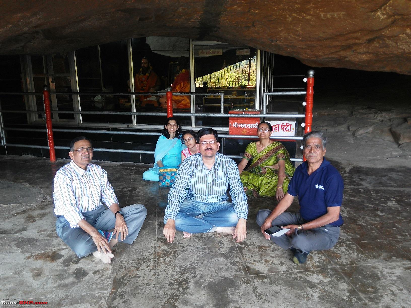
From the shot above it seems that the road simply disappears and indeed it does as it takes a complete "U" turn to go to the other side of the mountain. From here on the sharp descend starts. There are a number of nerve wrecking hair-pin bends, which one has to manouvre very carefully. Sorry guys no pictures of those beautiful hair-pin curves as I thought it was too risky to stop on those curves to capture some shots and the folks with me were too naive to capture them either. They were simply awestruck and didn't dare to hold the camera. Wish some BHPIan would have accompanied me to capture those beauties in my camera. After covering almost 80% of the descend, on the right hand side we came across on arch pointing way to Shivthar Ghal, just 6 kms from there, but with warning only small vehicles allowed. We stopped there for a moment and recollected the words of the hotel owner where we had breakfast in the morning. He had clearly instructed not to take that road as it was not motorable and take the detour from Barasgaon. Momentarily I thought what the heck if I cannot drive the tank through that road. Hence we diverted the TUV through the Mazheri-Parmachi-Sunebhau route. Initial kilometer and a half was driveable, but then sharp descends started and the road got from bad to worse. There were loose boulders on sharp hair pin bends and the carriage way was such that only one car can go, there was no chance another one coming from opposite side can cross it. All the TUV occupants were cursing me for taking this route, but I was progressing slowly but steadily. I couldn't dare to put the car in second gear, it was only first gear, right foot on brake and the left on clutch. There was one sharp right hander, where the TUV almost tilted. I had a heart in mouth situation, stopped there for a moment, checked that the car is not loosing its poise and balance, juggled between clutch and brake and somehow crossed it. This jugglery continued for almost 4 kms. Finally we could spot some habitat and all were relieved after finally reaching the destination.
33-The first left hander hair pin bend

34-One of the few sign posts with mountains and valley in backdrop

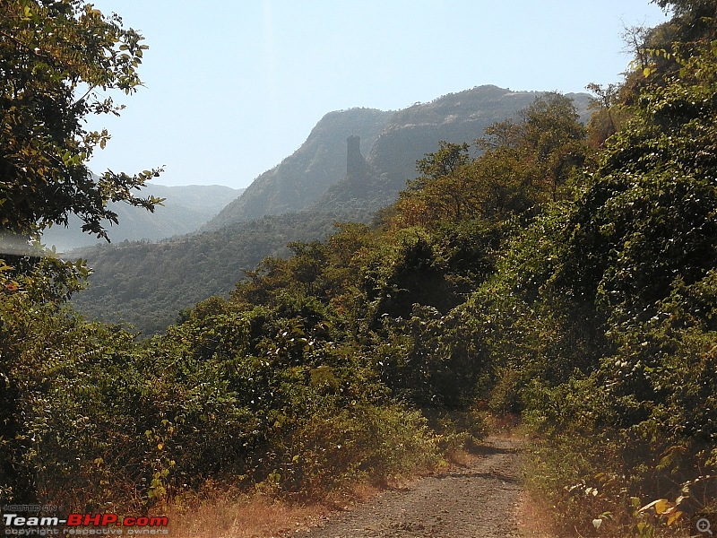
35-Road vanishing in the jungle, notice the rock patch at the top
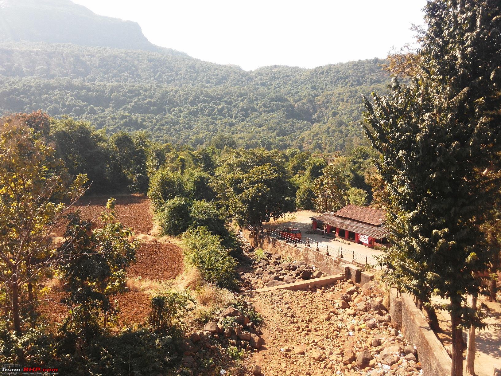
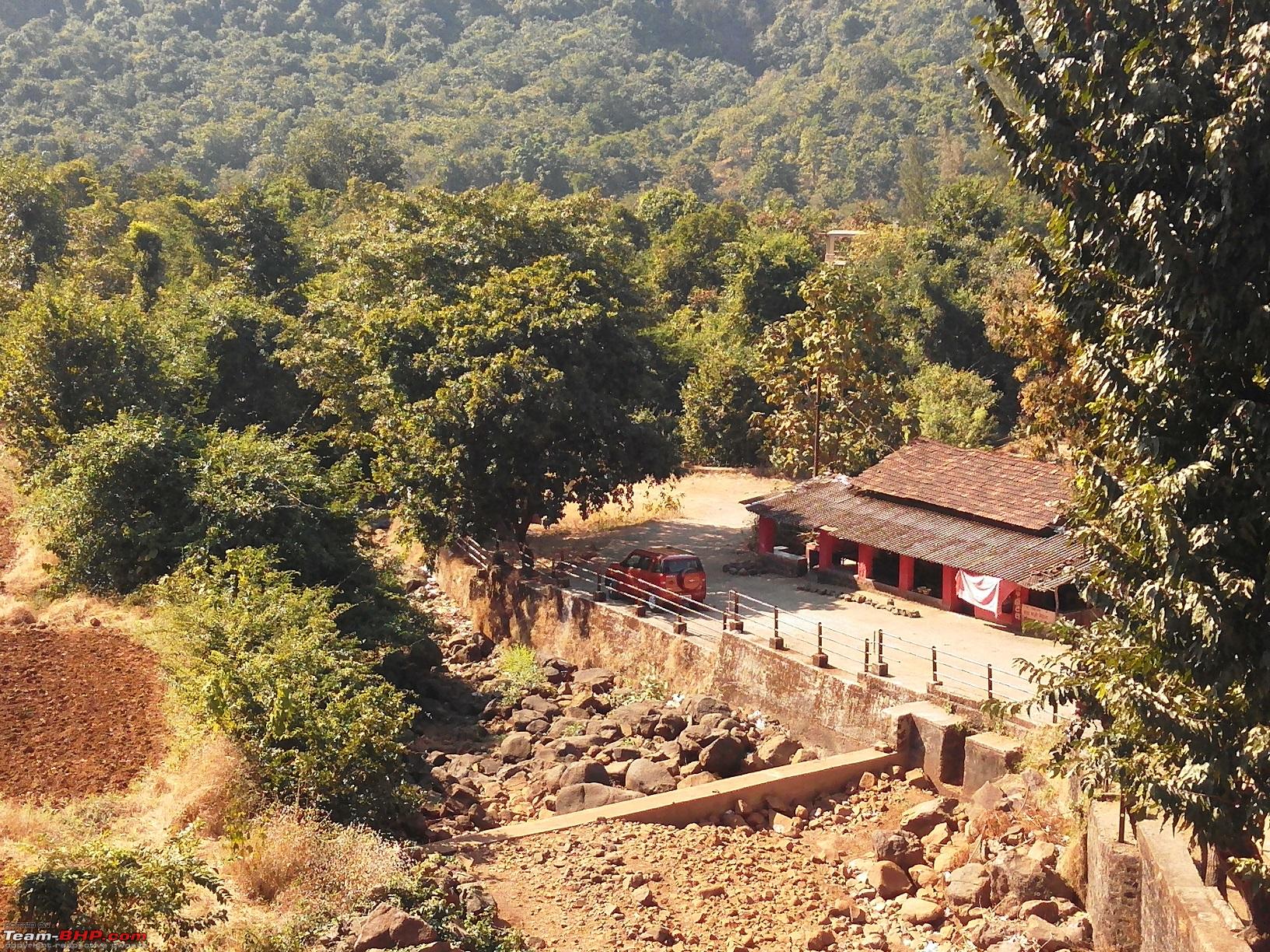
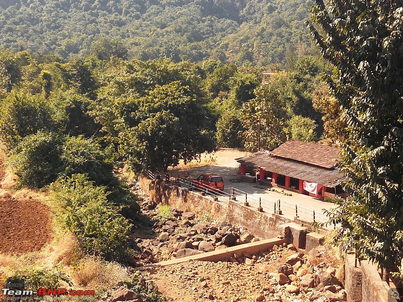
36-TUV finally reaching the destination after a torturous 6km nightmare

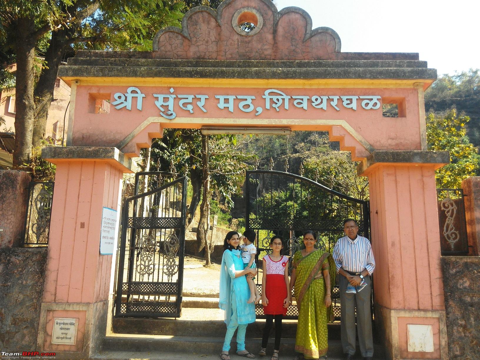
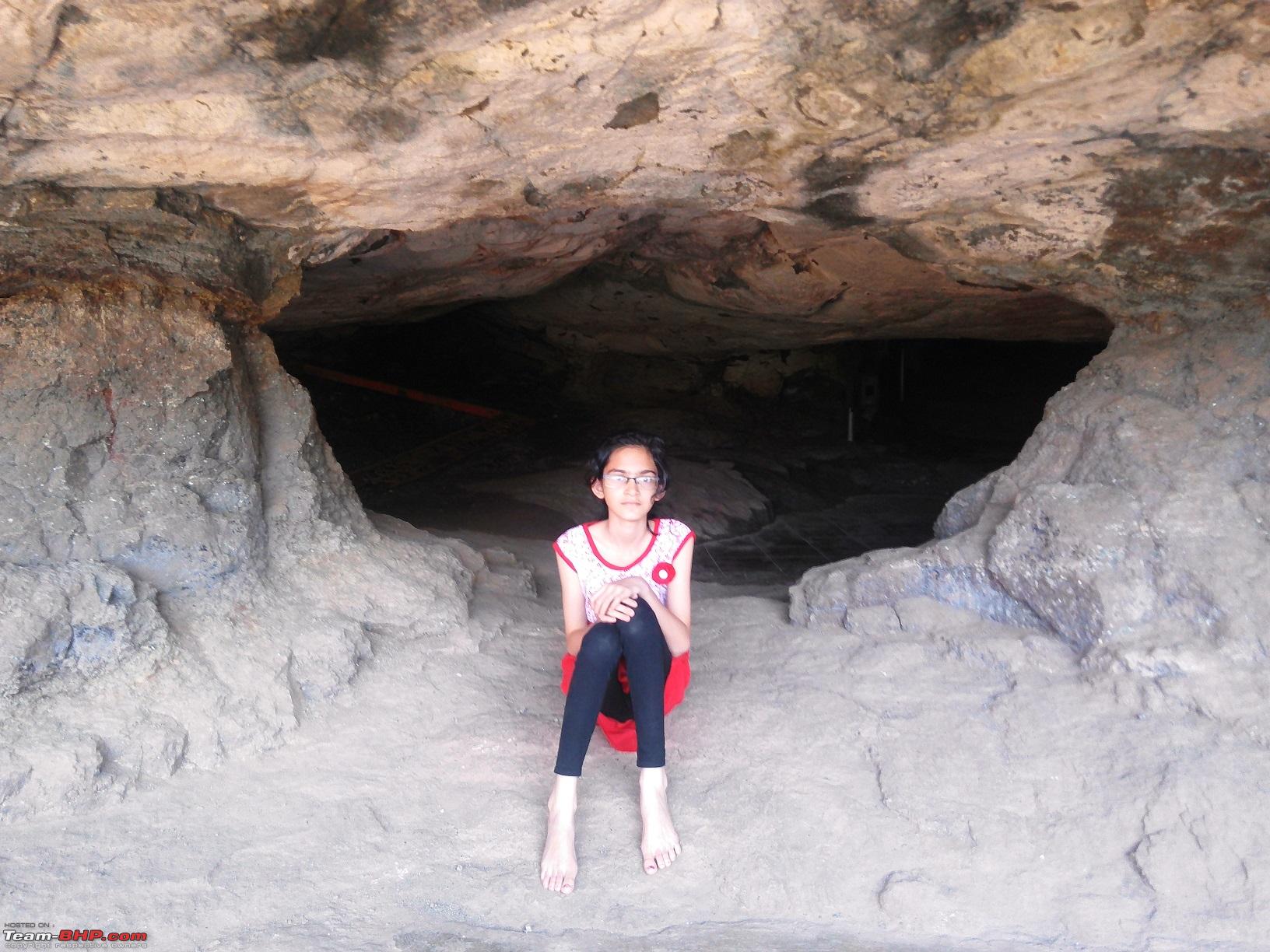
37-The entrance arch, Sunder Math - Shivthar Ghal
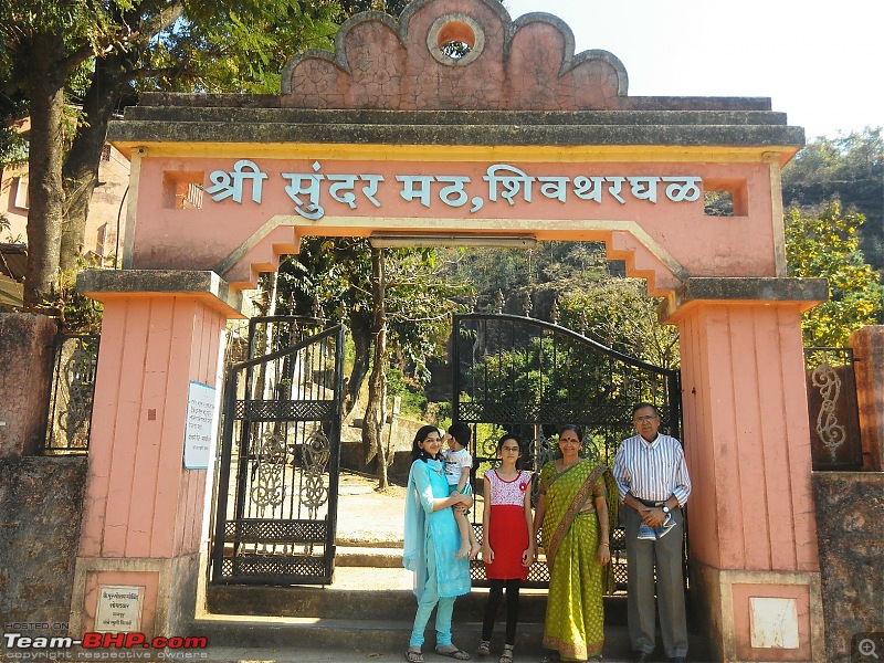
38-Spot the TUV contest

39-At least now you can spot it, resting peacefully under tree shade
Nice update on the TUV and beautifully narrated travelogue AutoIndianclap:
Good to see that you have tested TUV on both good & bad terrains and extracted the juice out of it. Wish to see more updates from you:thumbs up
After offering our prayers and thanking God for enabling us to come to this holy place we started our return journey. This time I didn't dare to take the route through which we had descended and I took the detour. 6kms of torture track was now replaced by 25kms of smooth winding road. After climbing up the ghat both my parents succumbed to motion sickness and we had to make an unforseen stop to help them recover. Some pictures taken on the return leg of the journey. Also from Bhor we touched NH4 at Kapurhol, that stretch of the road is super smooth.
49-The road, the river and the mountains

50-The forceful stop to recover from motion sickness

51-The water bodies again started following us

52-The TUV halted on one of the curves.

53-The roadway and waterway going parallel to each other
54-Another shot of the backwater
55-The parting shot 
We started the return journey @ 03:00pm and reached home @ 06:10pm after taking a forceful break and a tea break. Thus came to end the second day of our trip
Total distance covered
- 284.4 km
Travel time
- 06:53 hours
Stoppage time
- 05:07 hours
Quote:
Originally Posted by AutoIndian
(Post 3881369)
|
Pic no.22 is a very fine shot.
I admire your patient painstakingly compiled posts
Quote:
Originally Posted by vigsom
(Post 3881422)
Pic no.22 is a very fine shot.
I admire your patient painstakingly compiled posts
|
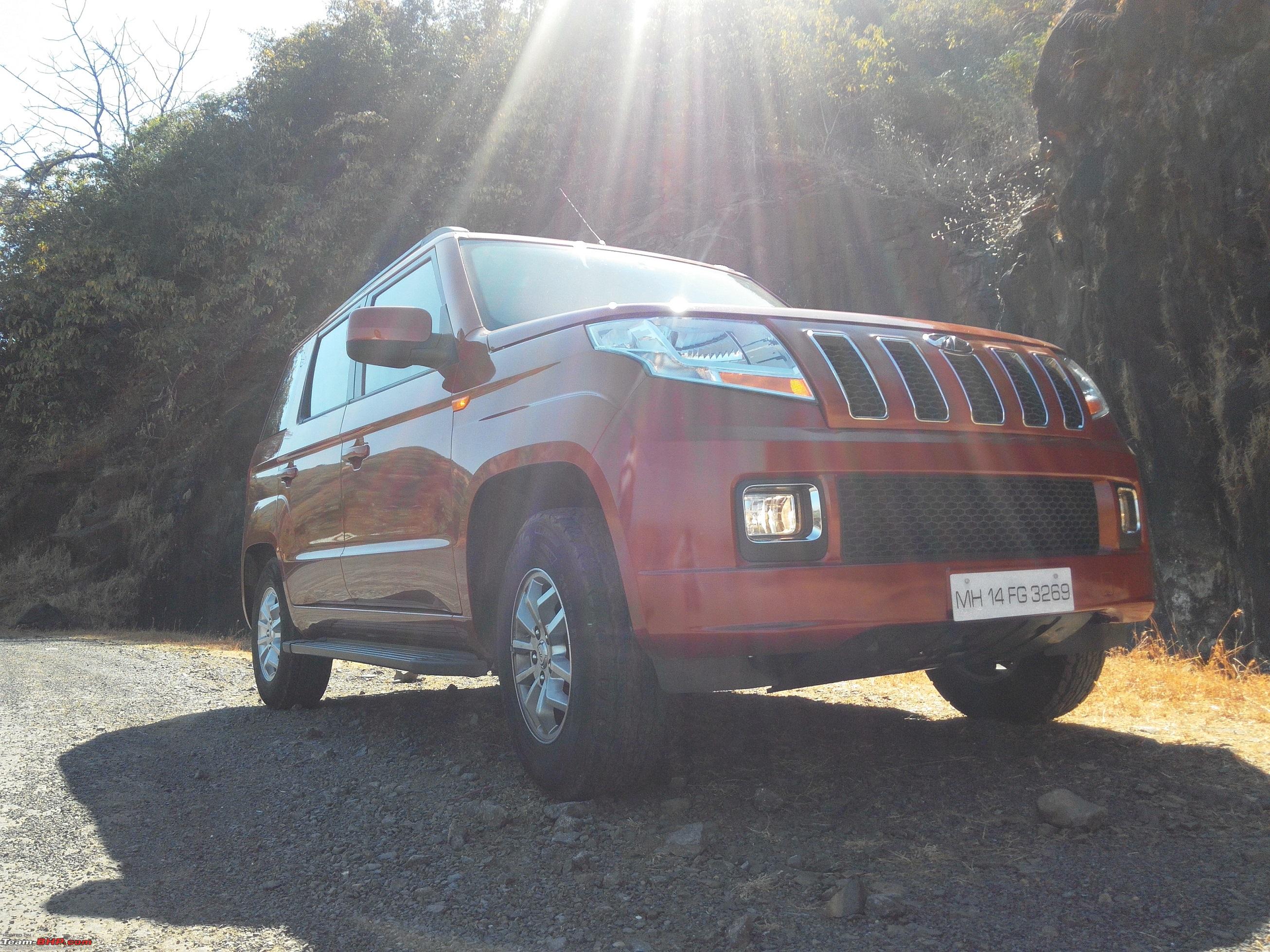
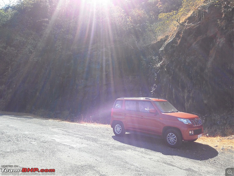
Thank you vigsom for your compliments. I agree the sun rays in that shot make it very special. Mind you this was shot on mobile camera (Xolo Era HD) at 8Mp resolution.
Quote:
Originally Posted by fusionbang
(Post 3881409)
Nice update on the TUV and beautifully narrated travelogue AutoIndian
Good to see that you have tested TUV on both good & bad terrains and extracted the juice out of it. Wish to see more updates from you
|
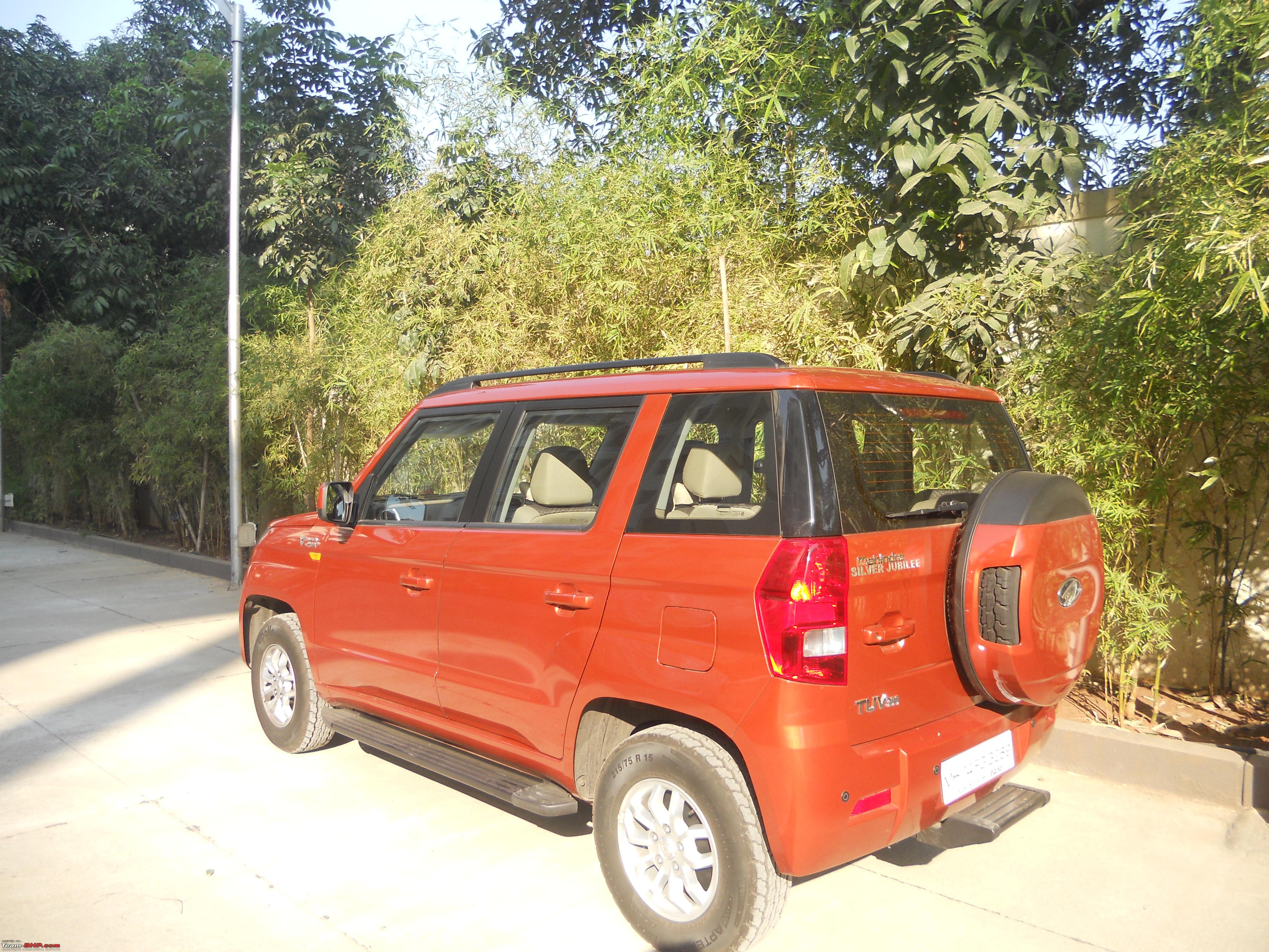
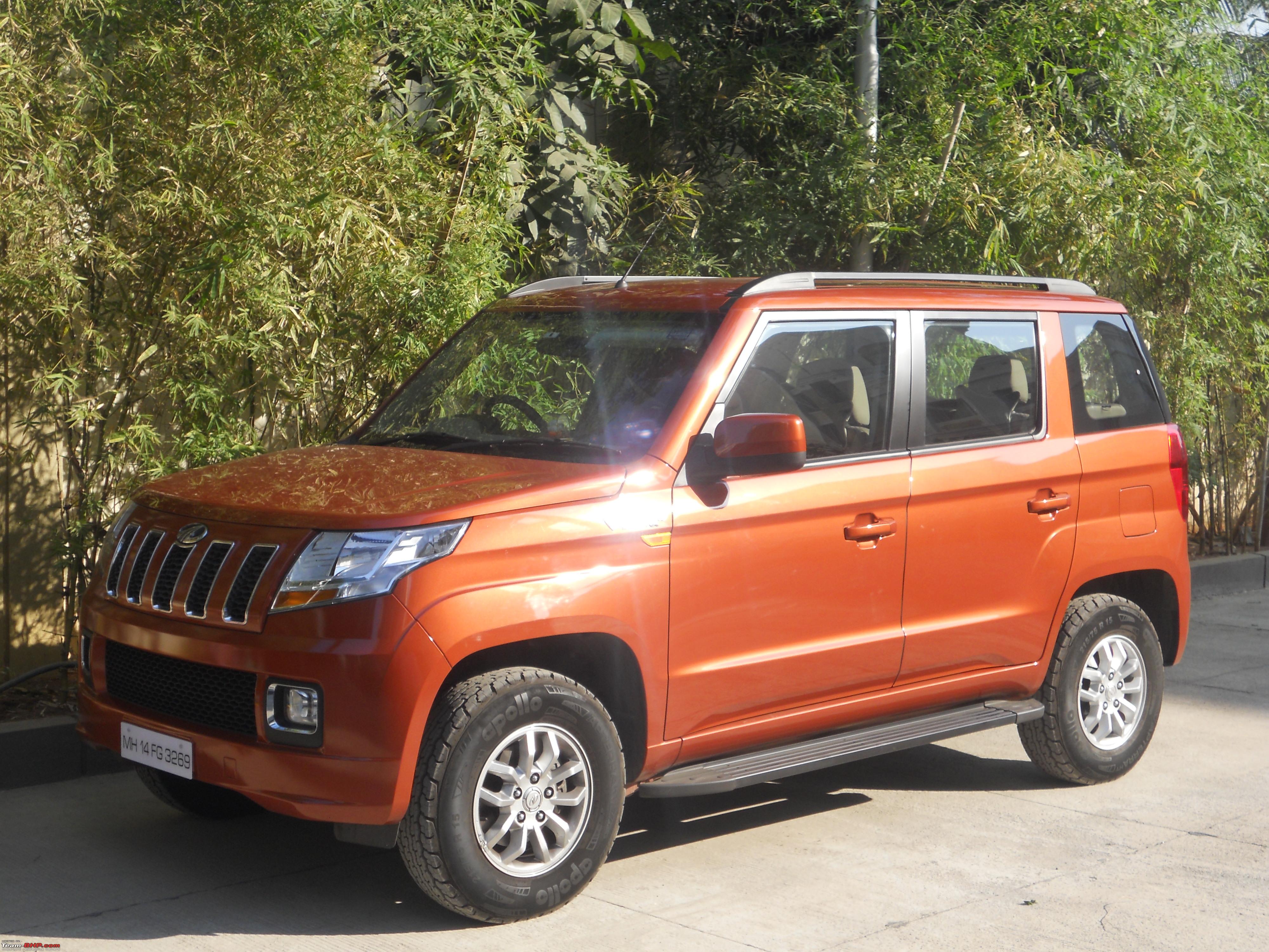
Thanks mate for your compliments. My TUV was dying for this day and such a trip, poor soul had to wait for almost two months. The sharper approach and exit angles helped the TUV cross the torture track without scraping its underbody even once. The high profile tyres also helped it tackle the broken roads in a better way. Inspite of the high GC the TUV is quite stable on curvy roads, not even once I had any kind of nervousness. Finally M&M has got it spot on, a car suitable both for highways as well as rural roads for people on tight budget.
| All times are GMT +5.5. The time now is 11:24. | |