Team-BHP
(
https://www.team-bhp.com/forum/)
-
Travelogues
(
https://www.team-bhp.com/forum/travelogues/)
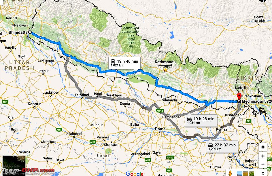
It was the early morning of 21st May 2016 I headed off to Siliguri in North Bengal to enquire & do some homework with regard to purchasing of a plot in Siliguri & decided to visit the place from my present home in Birgunj ,Nepal which is just across the Indian border with Raxaul in Bihar.
I planned to take the East West Highway ,also known as the Mahendra Highway which runs parallel to the IndoNepal border, mostly single lane in each direction, it scarcely qualifies as a highway even as per Indian standards. runs across the Terai geographical region of Nepal, from Mechhinagar in the east to Bhim Datta in the west, cutting across the entire width of the country is the longest highway in Nepal. I have first take the north south road to Kathmandu & after about 35 kms from Birgung, then take right to join the East West Highway & drive 400 kms straight eastwards to reach the eastern border i.e.Kakarbhitta.I would need to keep my Nepali no. plate car in Kakarbhitta & then take a rickshaw to cross the Mechhi river bridge & on the other Indian side take an Indian no. plate car, as Nepal registered cars are not allowed across the border. You can bring your Nepal no. plate car to India but the amount of documentation, embassy formalities, and bank guarantee etc that you feel much better rather to book a cab if you are for a small 2-3 day trip.

I started around 5.30 am from home in Birgunj & by 1.30 pm reached Mecchinagar on the eastern Nepal border with West Bengal in India.

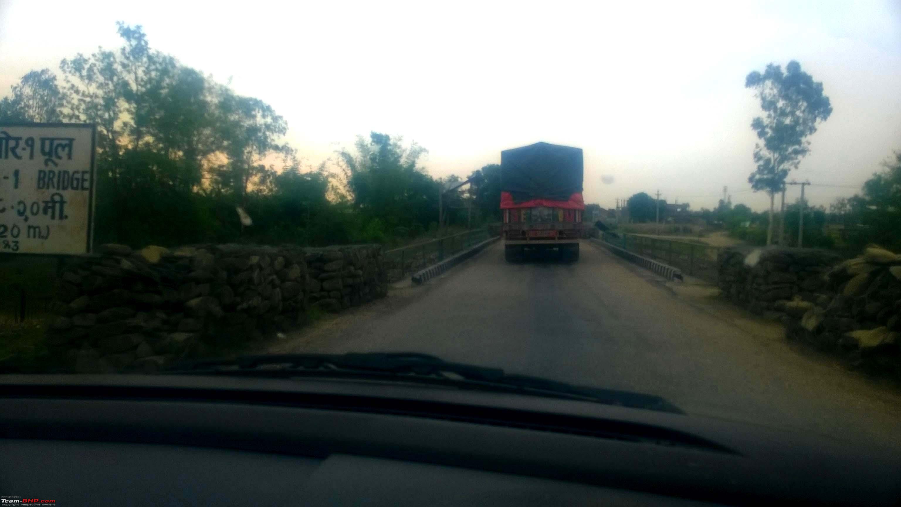
These are the most dangerous observations in this so called highway,the entire 370 km straight stretch has more than 30 small bridges & culverts with Himalayan streams (tributaries) underneath,though the road is reasonably double lane and about 35 ft wide,these culverts or bridges are about 20 ft wide,so it narrows up & that too without any warning signs or displays whatsoever,only one who knows this road should drive at normal speeds else for a new person in this road you need to be very cautious.I myself spotted 3 fresh accidents ,an oil tanker lying on the river/stream bed,a luxury AC micro bus (Toyoto) with tourists head on into a tree and a Tata Sumo again head on against the stone barricaded culvert.
Also the trucks or other big vehicles will not give way even if you have happened to reach the bridge first and even blinked dippers.


These small bridges are also at time one pass only & mostly these were found mostly in the first 100 kms of the journey.
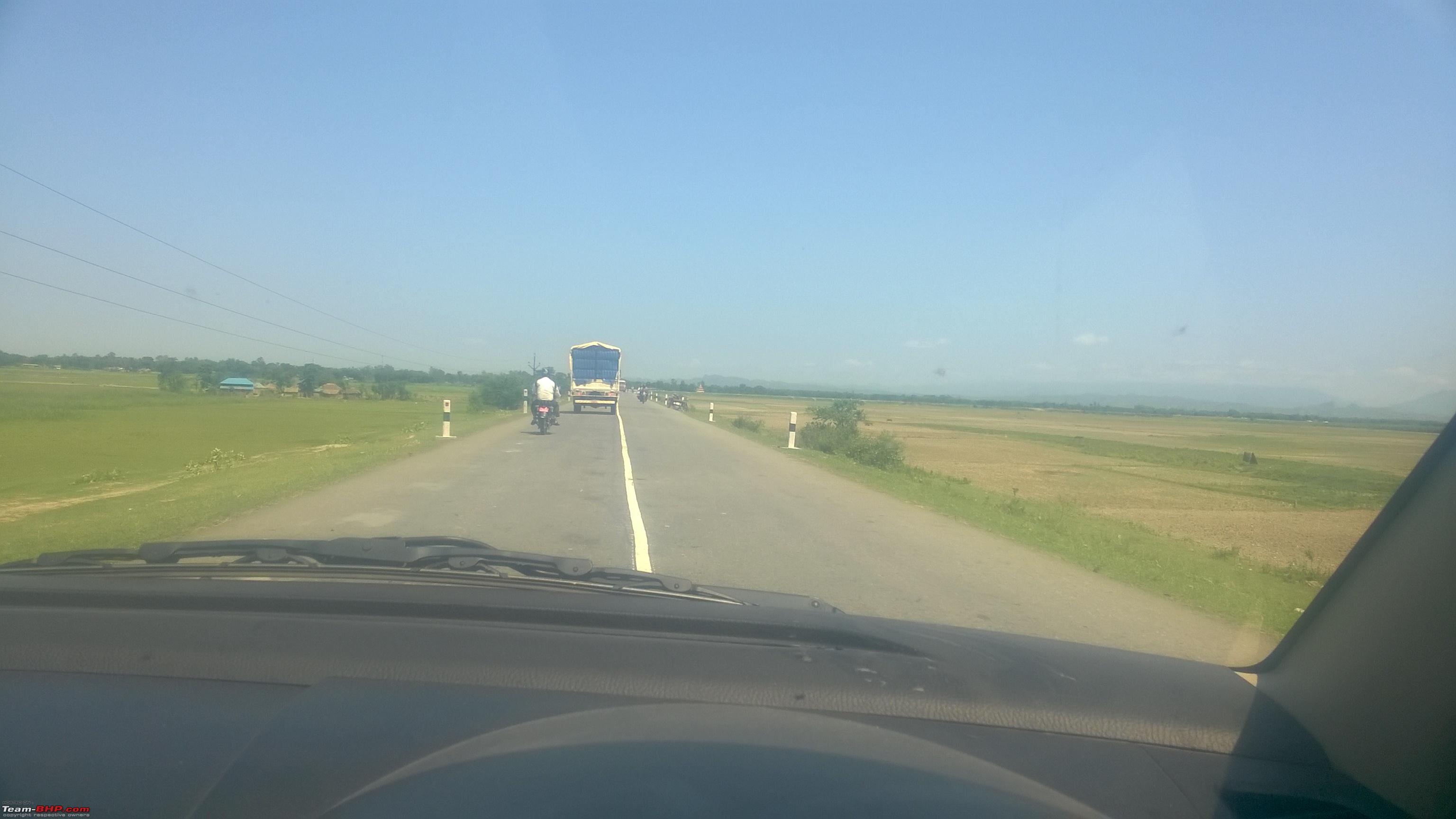
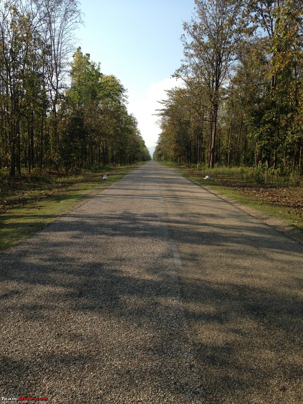
The road surfacing is also not like what we have in India nowadays its more like the road surfacing during the 80s,the feel of small gravel is all along the first 150 kms.

Trying out a selfie ,here you can clearly see the road surface.


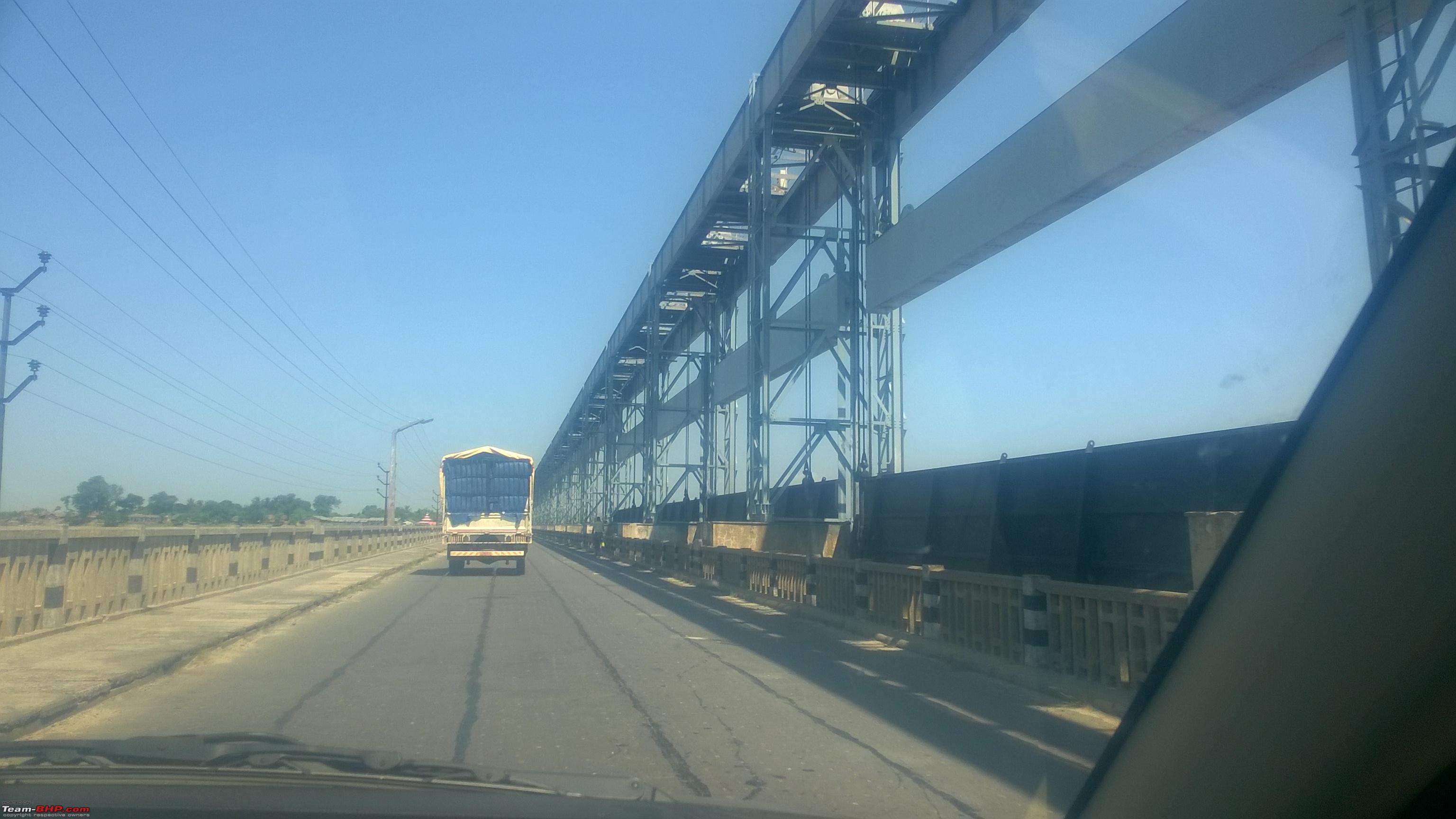
On the Koshi river barrage,flowing from Nepal to India,I did not see any photography prohibited sign.

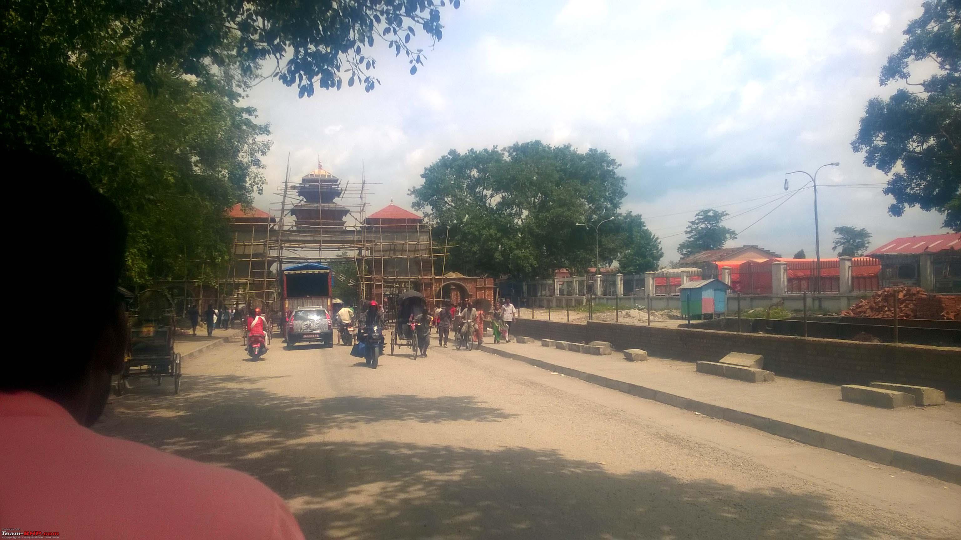
The border gate to India (Panitanki 30 km from Siliguri)


Crossing the Mechhi river in a Rickshaw to catch a cab for Siliguri.


On reaching Kakarbhita I parked my Dzire in a parking lot of a restaurant & asked the owner to see the car as I would be returning the next day afternoon.
Hopped onto a rickshaw with my laptop bag which had space for some trousers and two T-shirts. The rickshaw crossed the Mechhi river bridge & I was in Panitanki,30 kms from Siliguri, changed my Nepali SIM cards to my Vodafone & Airtel ones and after a 15 minute wait my booked cab arrived ready to take me to Siliguri.
I completed by work in Siliguri on the same day & stayed back for the night in the Mainak Lodge a reasonably priced tourist lodge but its restaurant & bar was not having enough food items and the first time I found a bar not having snacks or any food whatsoever which I can have with a bottle of beer.
Did not have a sound sleep may be due to 400 kms of driving & then moving around in Siliguri.
The next day morning I left the lodge around 6.30 and took a shared Sumo till Panitanki on the Nepal border.
Next day morning I returned back to Kakarbhitta for the journey back, there was a slight layer of dust on my overnight parked car, dusted it & started driving back home.I started around 7.45 AM & was home in Birgunj around 2.00 PM with a 30 minute lunch & a 20 minute power nap. In fact you feel very sleepy on the wheels & when you stop somewhere for a powernap it doesnt come particularly if you are too tired & having a erratic sleep cycle. I am very particular about not driving if feeling sleepy as in last November I dozed off, myself having a fracture and my wife an head injury.
Some points to be noted when driving inside even the best roads in Nepal as follows:
They dont compare at all with the Indian highways technically, there may not be potholes but banking on turns, road surfacing, sudden narrowing & sudden widening without warnings are all over. You always feel uncomfortable expecting something new approaching particularly roads where sudden shallow causeway type depths come up & if you are driving at 80 or more your car will take off, fly & land after a meter or so. During an earlier journey this happened & I had to change both the front suspension tie rods.
There will be very narrow bridges and which you wont be able to judge whether they are single way or not, normally two trucks cant pass, one truck & one car can pass very carefully & two cars can pass easily, the worst thing is that there is no approach signage.
There is not a proper single dhaba worth writing about in the entire 400 kms, so stocking up some packets of biscuits & cakes before the journey would be prudent.
There is no helpline no. or any highway patrol in case of any emergencies, there are ATMs at some points in between but they all down their shutters by 7.30 PM.
Unlike India the police here is very helpful & in the entire stretch they will not check you at all, unless theres are routine checking. They will address you with a Sir & in very polite way Sir, can I have a look at your registration & licence. They are also very fit & trim unlike our fellow countrymen cops.
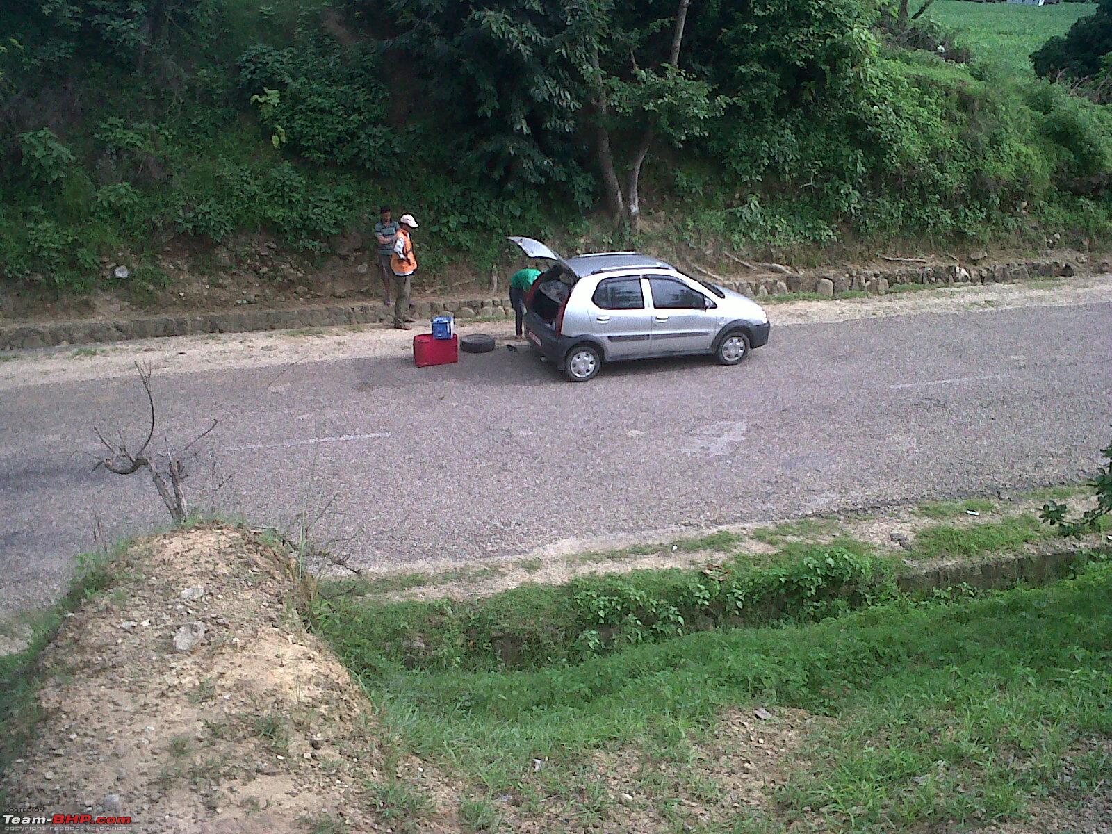
In the entire stretch there is no car or tyre dealer who does wheel alignment or wheel balancing.
Thread moved from the Assembly Line to the Travelogues Section. Thanks for sharing!
Hi Samratrek. Good to see a bhpian from Nepal. Keep updating the travelogue section with you trips in Nepal. Would be helpful to bhpians when they are traveling to Nepal.
I have been traveling to Nepal a lot since 2011 for work. My work entails a lot of road travel as well & therefore have been driven & driven myself a lot on the the E-W Highway all the way from Mechi to Mahakali as they say.
I don't click my pictures now but here are some from past trips :
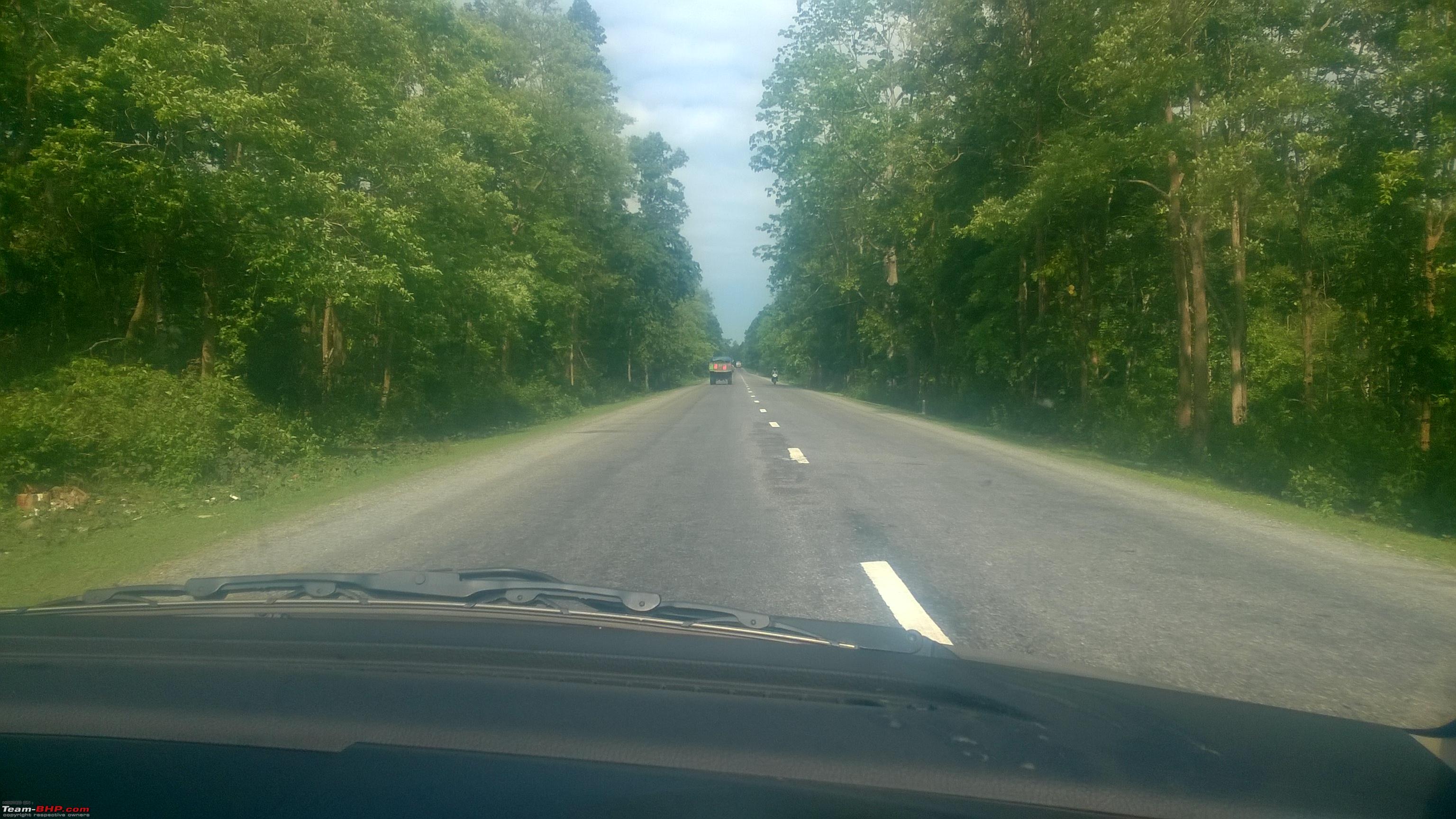
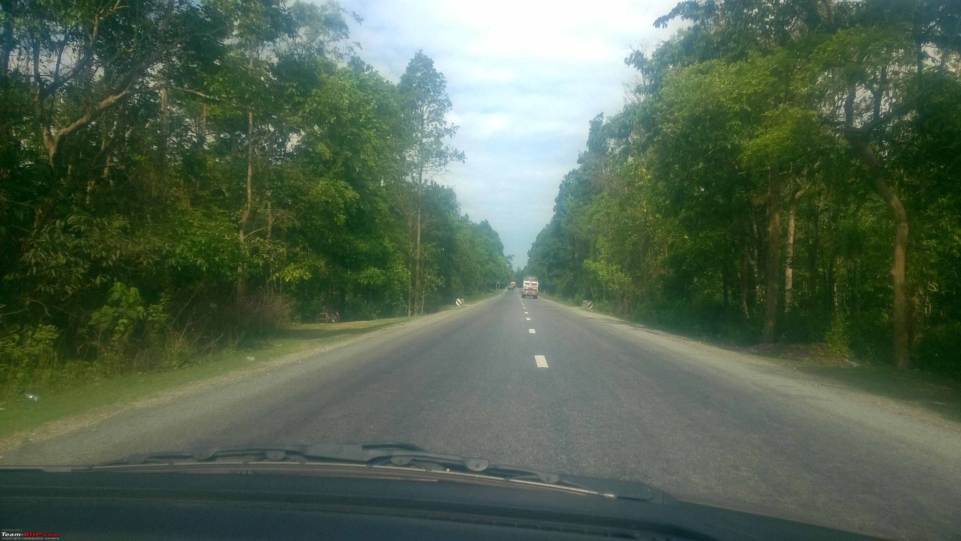
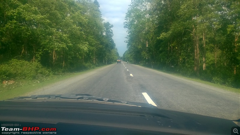
The beautiful EW Highway :

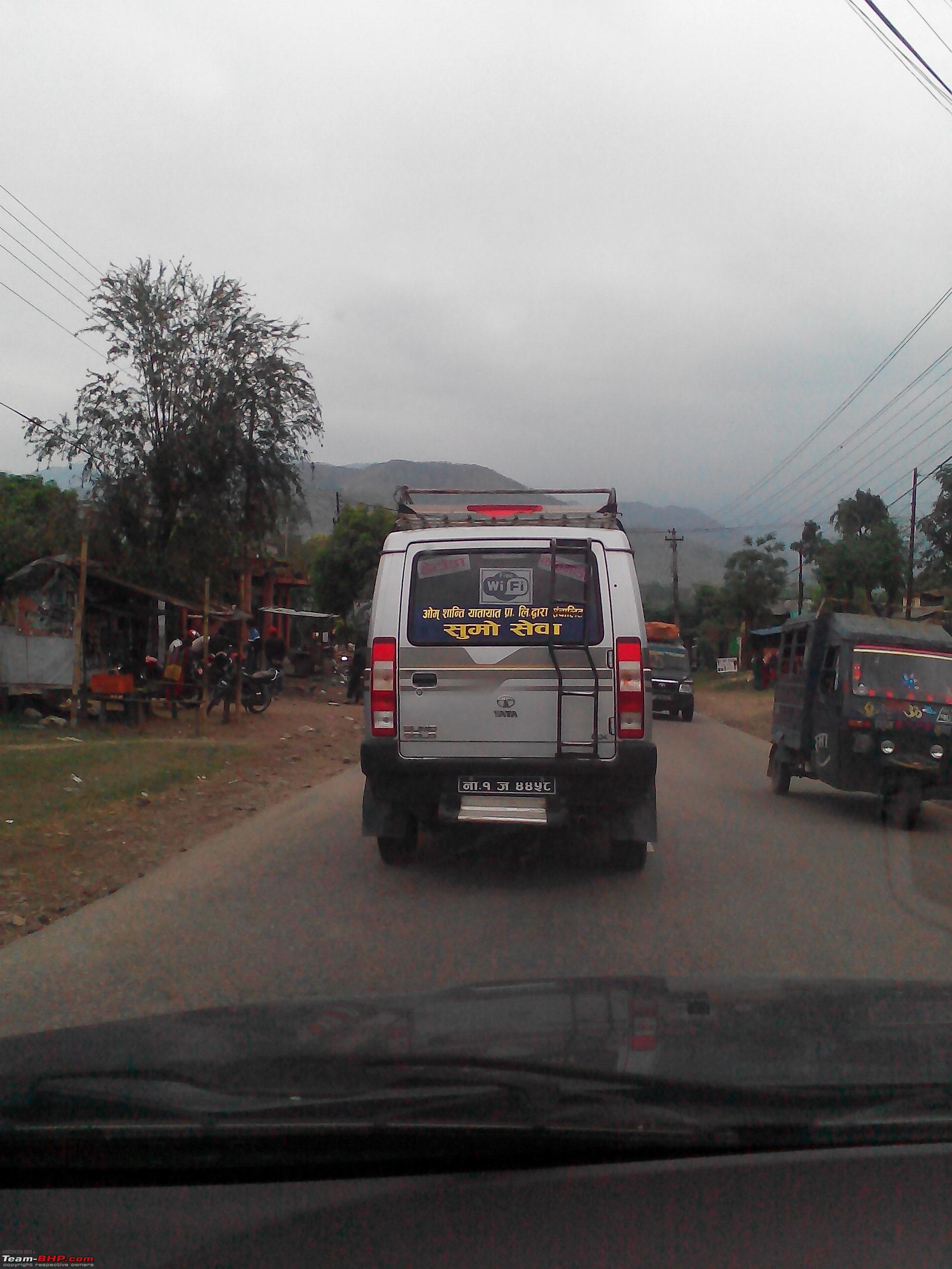
A Wifi Sumo

This is from 2012. This car got 3 puncture in the 7 day trip.

Since you are from Birgunj, You would recognize this place.

Sorry for the picture quality. Didn't have fancy phone back then.
Regards,
Pawan
Hi Papabravo
Let me know when you are again coming to Nepal,I will definitely be updating about road conditions here in Nepal.
Regards
Samrat
Quote:
Originally Posted by Samratrek
(Post 4021111)
Hi Papabravo
Let me know when you are again coming to Nepal,I will definitely be updating about road conditions here in Nepal.
Regards
Samrat
|
Can you please tell what is present condition of road from Raxaul to Kathmandu? Can we travel at odd hours?
Quote:
Originally Posted by drsnt
(Post 4567634)
Can you please tell what is present condition of road from Raxaul to Kathmandu? Can we travel at odd hours?
|
You can break up your journey from Raxaul to Kathmandu in 6 segments based on time consuming periods:
From Raxaul in India to Birgunj in Nepal
This involves crossing the border from Raxaul in Purbi Champaran district of Bihar & entering Birgunj in the Parsa district in Nepal. The most time consuming part is crossing the level crossing before entering Birgunj in Nepal, as most of the time the railway level crossing is closed due to constant to & fro shunting of rail engines, resulting in traffic jams, but it is now a bit better than what used to be an year back, due to an newly inaugurated indo-Nepal bypass corridor which is now being used by heavy & all cargo vehicles. Distance wise Raxaul to Birgunj is only 6 km & the roads are broken all over. Keep in mind that the border opens at 5.00 in the morning & closes at 10 in the evening, no vehicles are allowed beyond these timings, but you can walk across the border any time. Your Indian no. vehicle will need a Nepal permit (locally called Bhansar entry) which costs you INR 300/= per day, the original Dl & registration needs to be shown to get the permit.
Birgunj to Kathmandu-There are 3 routes for this as follows:
• Route 1> Main route-300kms-time taken 8/9 hours-very smooth & not steep anywhere, this is the main routes used by tourist buses with shops & so called dhabas all through, you will also get car workshops, tyre repair shops, mechanics all along the way. As this is the preferred route unless you are in a hurry I will elaborate on this route.
• Route 2> 160km-Time taken 7/8 hours-steep at some places & roads with potholes at many places, hardly used by any commercial vehicles & very isolated .Along this routes you will come across a place called Daman, from where you can get a 220 deg view of the snowclad Himalayas right from Dhaulagiri on the west to Kanchenjunga to the east.
• Route 3> 115 km-Time taken 6/7 hours-very steep at some places, roads are narrow & having pot holes in the last 30 km. This route is used by all small commercial vehicles like Tata Sumos & other SUVs for plying passengers quickly between Kathmandu & Birgunj.
The first 55 km to a place called Hetauda is same for all the 3 routes, at Hetauda Route 1 diverts westwards towards Narayanghat, & if you plan to take route no.2 or route no.3, you should proceed straight another 10 km to a place called Bhainse which is a T point, you take left its route 2 & if you take right its route 3.
Route 2 will merge with the main route i.e. Route no.1 at a place called Naubise from where Kathmandu is 26 Km.
Route 3 will take you directly to into the Kathmandu Valley & the city.
Route 1 Birgunj-Kathmandu
Birgunj-Pathlaiyya- 24 km-average speed 25 kmph
The first 8 km is through Birgunj City, do not take the Birgunj Bypass road as it is getting 4/6 laned & heavy construction is going on & there are no diversions signs.
After this the road passes through Birgunj industrial belt, the road is quite narrow considering it being a major highway.
The entire road till Pathlaiyya is in the plains or the terais with paddy & sugarcane fields beside, this road is being totally revamped into a 6 lane highway, which is right at this moment under construction .Please note that in Nepal there is no safety regulations & signages warning of construction neither are there any signages showing diversions & would advise to not drive this section after dark. Everyday scores of accidents take place, mostly trucks overturned due to no warning signs of ditches made by excavators & other construction nuisances. The best is to follow 2/3 vehicles all the time with a big distance in between.
Pathlaiyya-Hetauda -Narayanghat- 106 km-average speed -50 kmph
Narrow straight roads with old gravel black topping, like our old GT road, not much potholes but lot of undulations, reverse banking, unmarked causeways. The roads do not have blinking reflectors or markers on the edges, nor do they have dividers, very difficult to drive after dark as you get blinded by the lights of vehicles from the opposite track.
Narayanghat-Mugling- 41 km-average speed – 60 kmph
A fresh newly built 2 lane track on winding mountain roads having reflecting markers on the edges & centre but not having dividers.
Mugling-Naubise- 84 km-average speed-45kmph
Same as the Pathlaiyya-Narayanghat section but this is totally winding mountainous road.
Naubise-Kathmandu-26 km-average speed-15kmph
Revamping is going on, extremely dusty, terrible traffic jams, construction material & diversions everywhere without any markings.
With regard to travelling at night or security issues in Nepal, its very safe ,sorry to say its much safer than our own country & people are willing to help.
There is another unwritten rule, if there is an accident then all the rules are for the smaller vehicle,i.e. if a car hits a bike,& the bike was suddenly crossing the road like an idiot, still the law will be with him, even if you have Dashcam recordings to prove your point it will be off no use.
Thank you for elobrate reply
Quote:
Originally Posted by Samratrek
(Post 4568026)
You can break up your journey from Raxaul to Kathmandu in 6 segments based on time consuming periods:
Birgunj to Kathmandu-There are 3 routes for
There is another unwritten rule, if there is an accident then all the rules are for the smaller vehicle,i.e. if a car hits a bike,& the bike was suddenly crossing the road like an idiot, still the law will be with him, even if you have Dashcam recordings to prove your point it will be off no use.
|
Thank you Dear,
The road condition was exactly as you mentioned.
I completed my journey last month.
My route was Bokaro - Hazaribagh - Patna - Muzaffarpur - Raxaul- Birgunj - Chitwan (route option 1) Kathmandu. 855 kms total. Time taken 25 hrs including food, 2 hrs approx for vehicle Bansai and Rto, sim card activation etc, 2 hrs for food etc.
On 3rd day we left for Pokhra.
Due to bad roads in Raxaul and birgunj we decided to come back via Sanauli Border and it was much better decision.
Or way back was Pokhra - Sanauli- Gorakpur- Balia - Dehri on Son - Dumri - Phusro - Bokaro 950 kms, time taken 25 hrs,
Total distance covered 1991 kms from home to home.
Fuel consumption 19+ (tank full method)
Vehicle S Cross
Regards
Recently drove from Kakarbhitta(West Bengal/Nepal border) to Birgunj(Central Nepal/on the border with Raxaul,Bihar).
Had some work in Siliguri,roads are as it was earlier some patch works made & some new bridges opened,in & around Lahan noticed start of some road extension work.
Had made a very detailed video travelogue,here is it.....
https://www.youtube.com/watch?v=sTzyrbQVgEc&t=19s
| All times are GMT +5.5. The time now is 14:12. | |