Team-BHP
(
https://www.team-bhp.com/forum/)
-
Travelogues
(
https://www.team-bhp.com/forum/travelogues/)
Couple of months back one of my friends had shared the pictures of a
stepwell near Satara,
Bara Motechi Vihir. I was very much fascinated by it and had made it my mind right then to visit it in the near future. Fortunately on the Sunday of 27th Nov 2016, I got a chance to visit it along with my family. Since it was near Satara, we decided to visit the
Kas Lake as well as the
Shivsagar Lake (Koyna backwaters) near Bamnoli in the same trip.
We started off quite early in the morning (around 07:15 am), hit the Katraj-Dehuroad bypass and within 30 minutes we were out of Pune City. We had packed our tiffins (Methi-parathas, groundnut chutney, enough water and some snacks for the kids). Being early in the morning there was hardly any traffic. However the bypass is still in a poor state with some bridges under constructions and the diversions. Also the potholes and uneven bridge joints posed a risk, hence driving in the 80-90 kmph range was the safest bet.
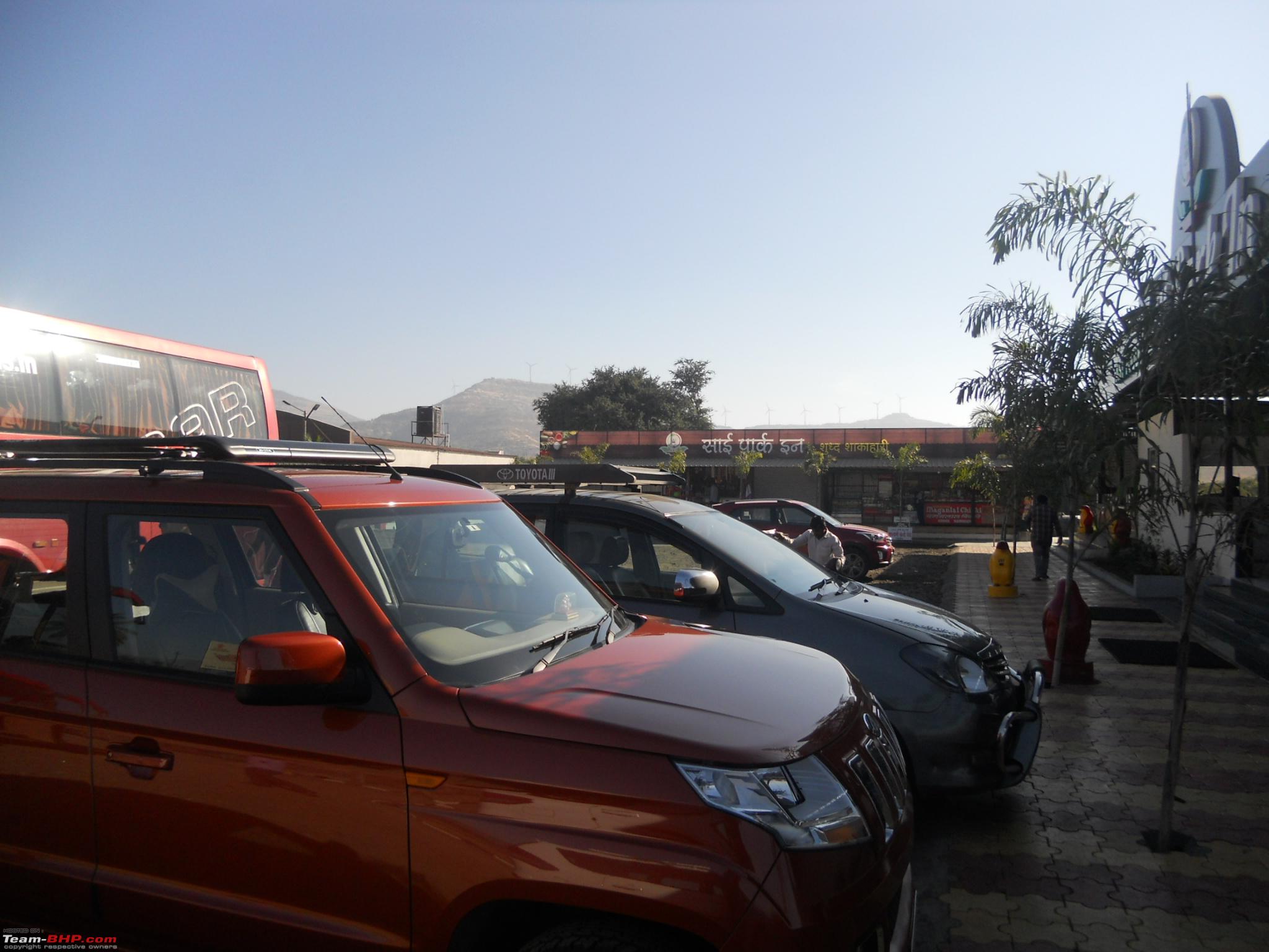
After about 1:45 hours drive and covering a good 94 kms, we hit our first pitstop at Hotel Sai Park Inn. Kids enjoyed the hot vada-paav and we had some tea to refresh ourselves. Here are some pics.
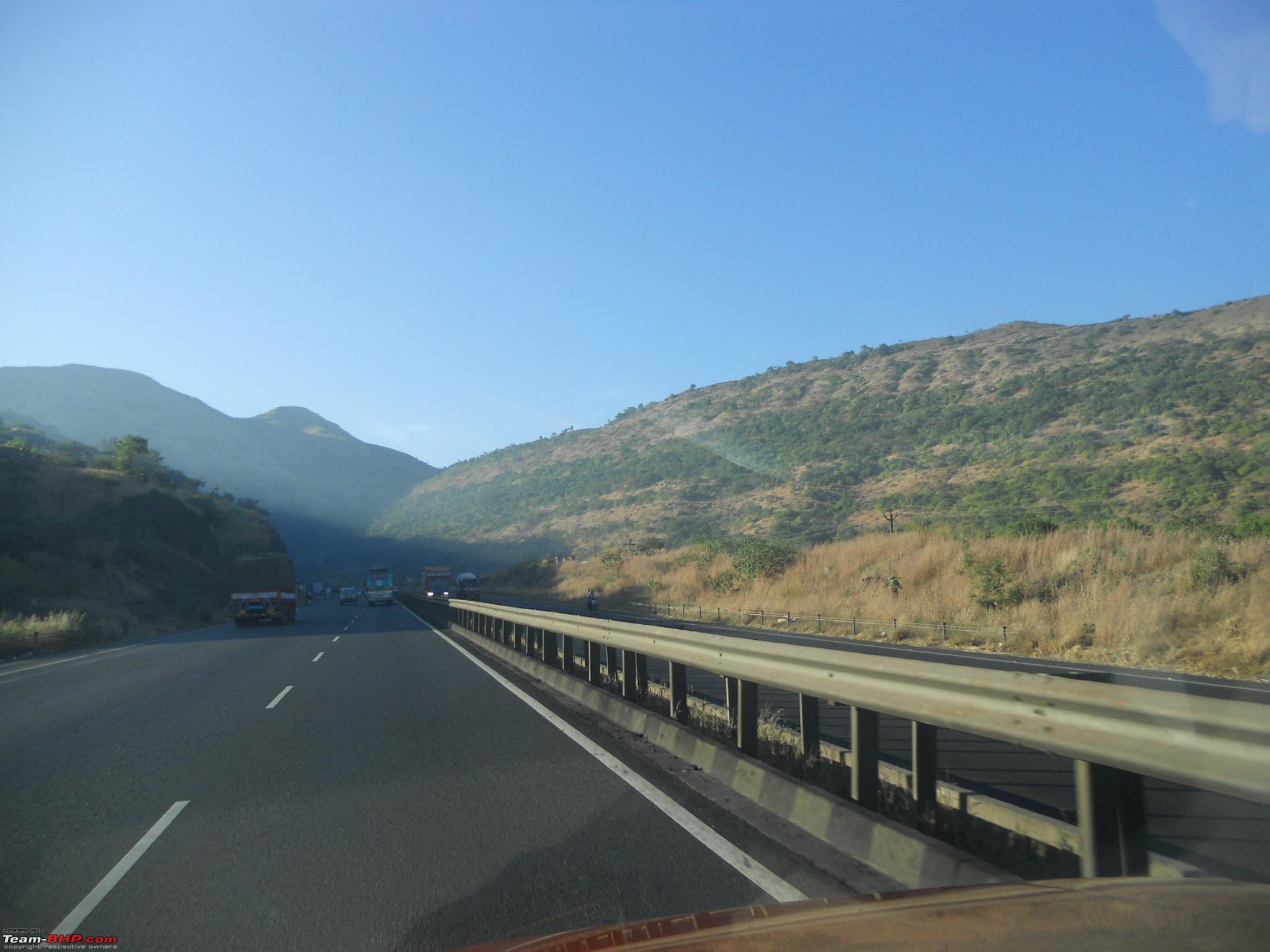
The Ambegaon Bypass - Viaduct
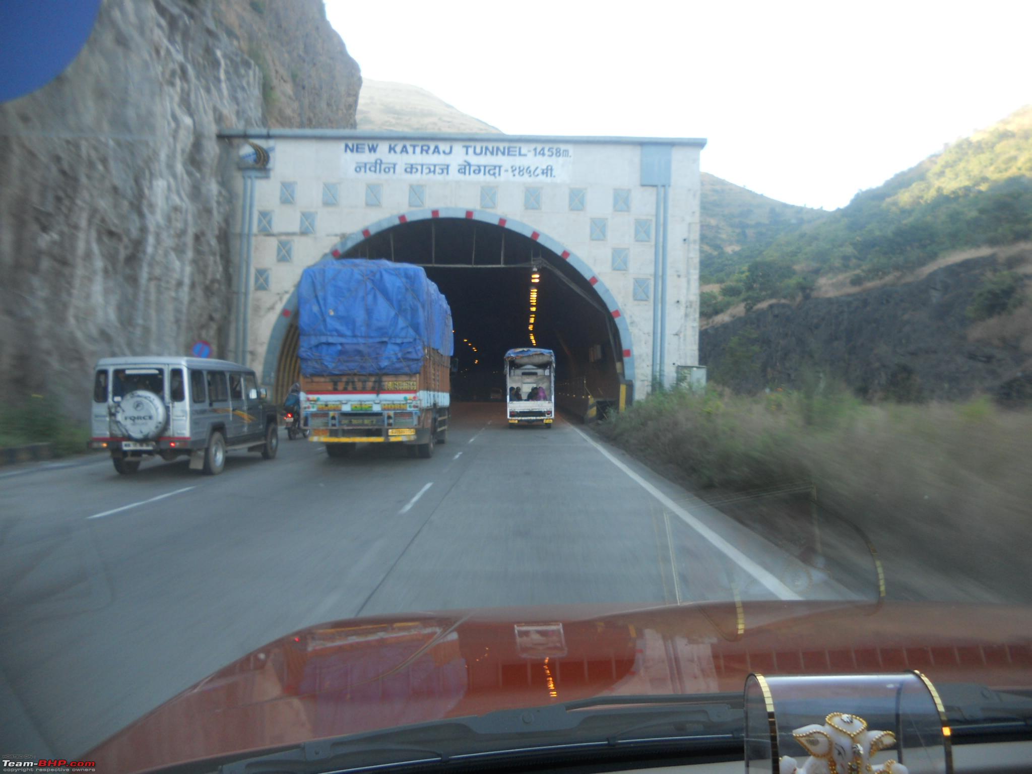
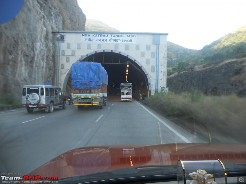
The New Katraj Tunnel on the Ambegaon Bypass
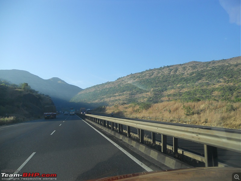
One of the curves in Khambatki Ghat

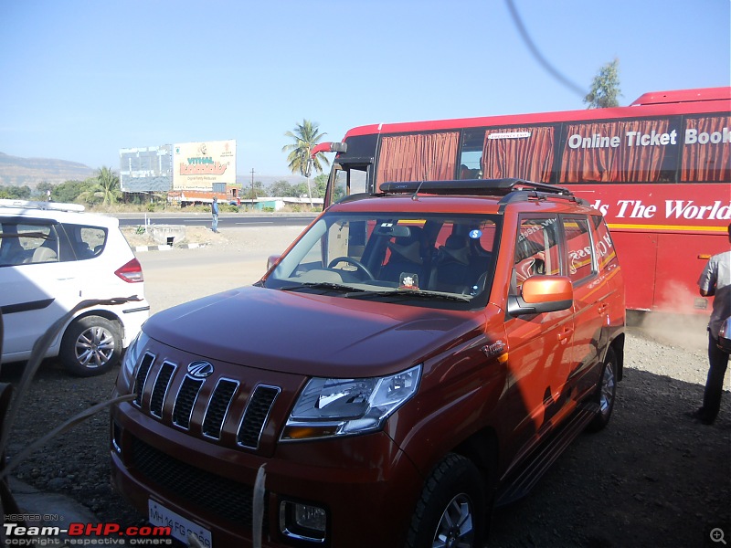
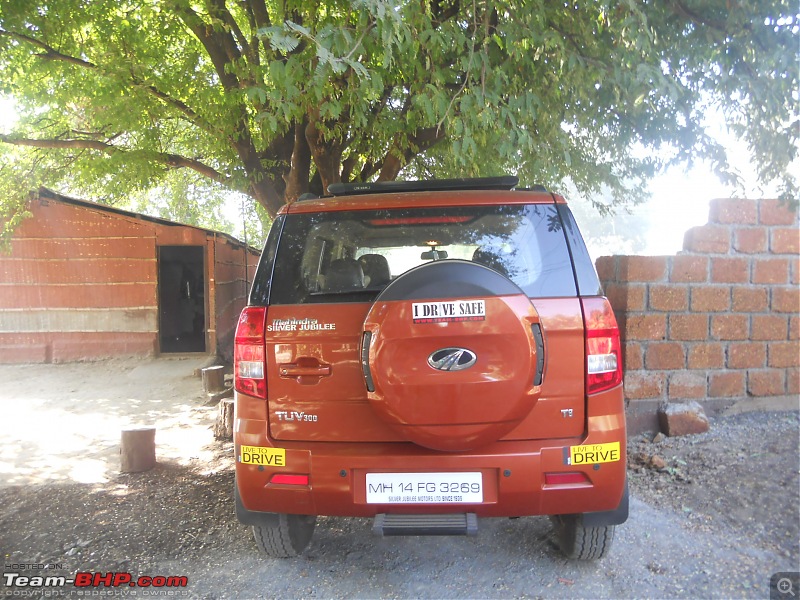
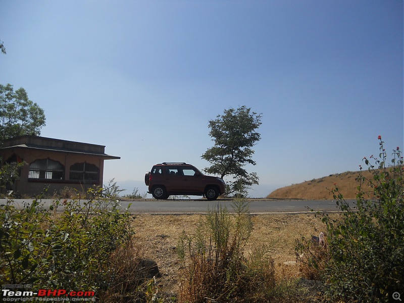
Our first pitstop Sai Park Inn just after Khambatki Ghat

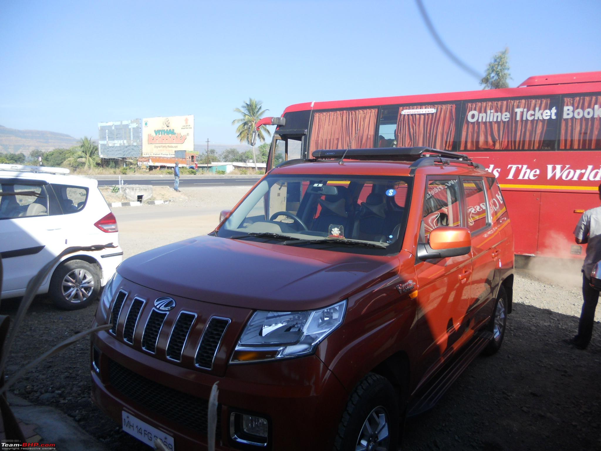
An Orange B7R in company of my Orange Tank
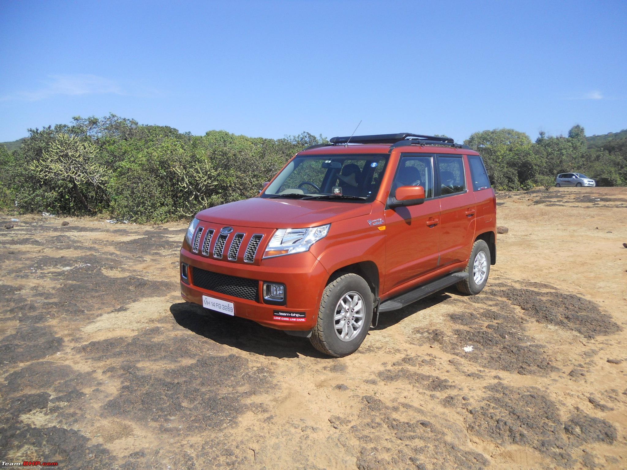
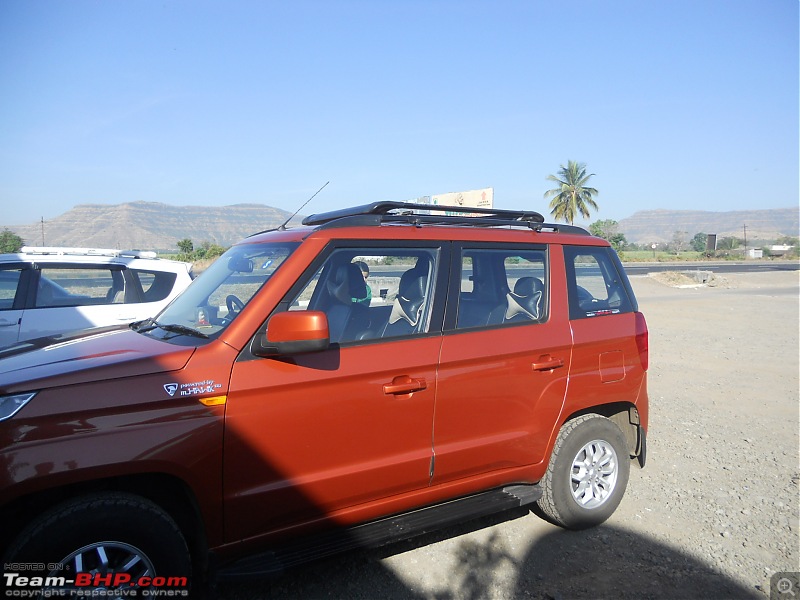
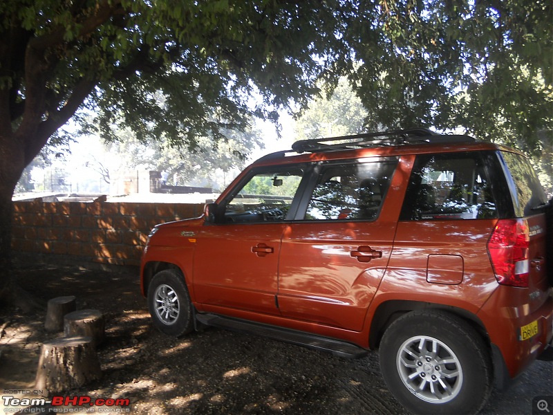
TUV Soaking in morning sun at the hotel
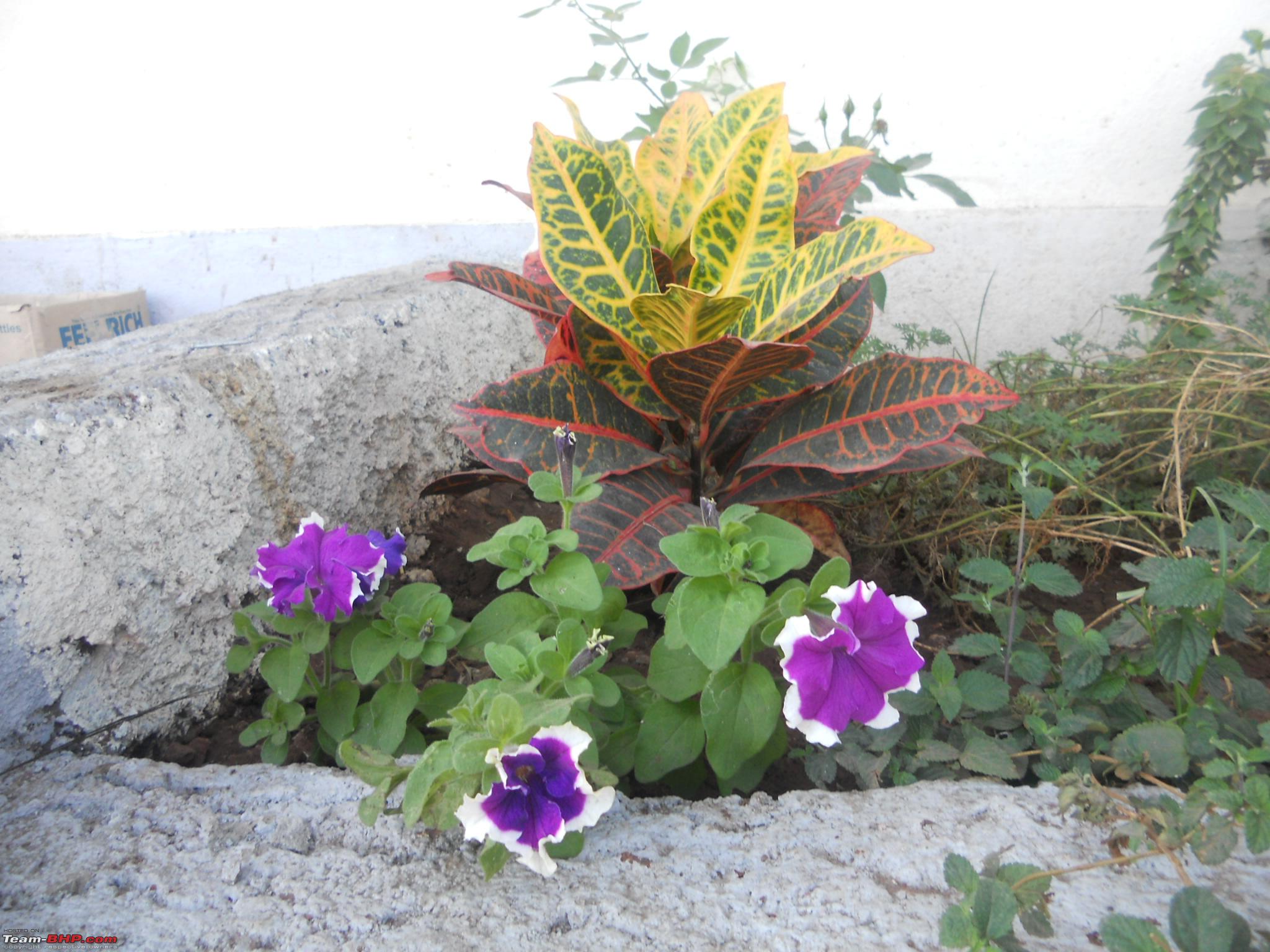
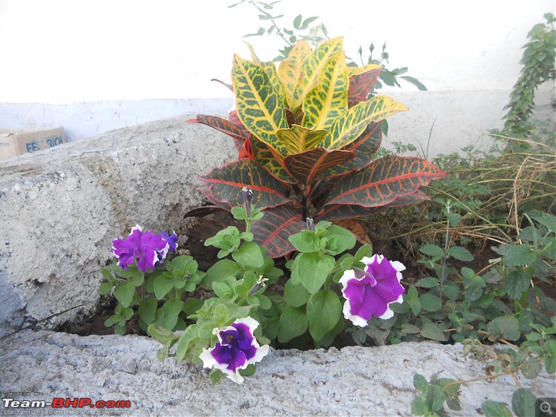
Some beautiful flowers at Hotel Sai Park Inn
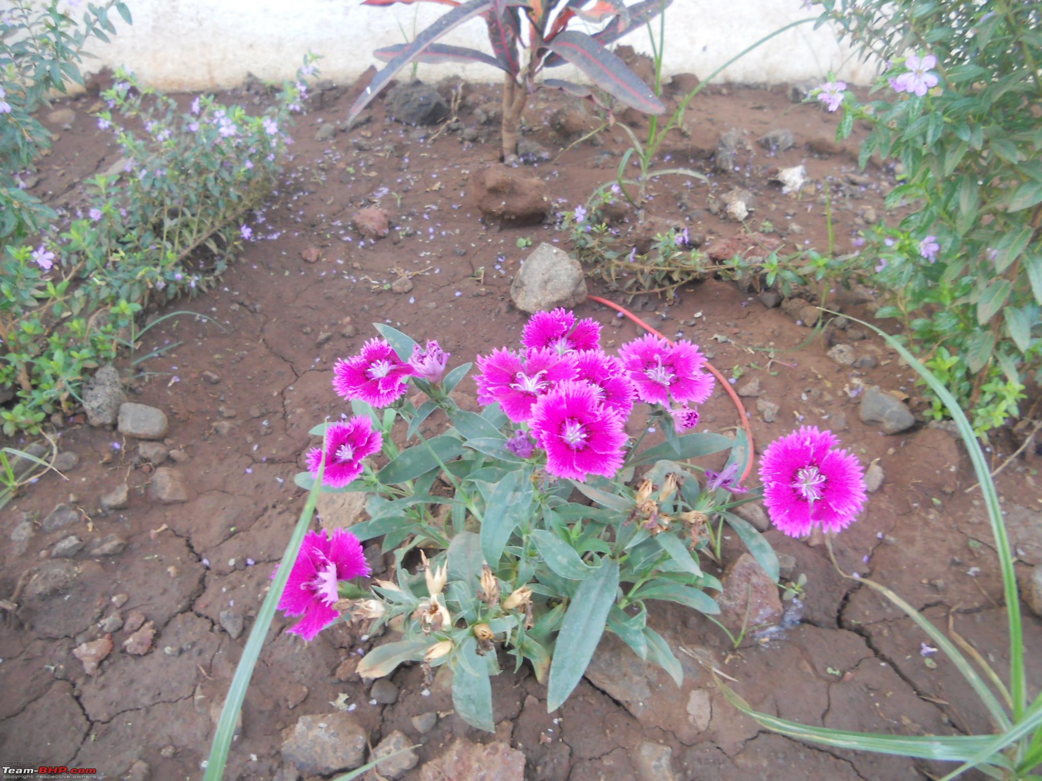
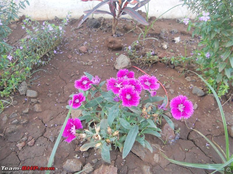
Another bunch of beautiful flowers
Courtesy this website --->
http://www.placesnearpune.com/2012/0...r-limb-satara/, reaching our destination was not a big task despite there being absolutely no sign-boards.
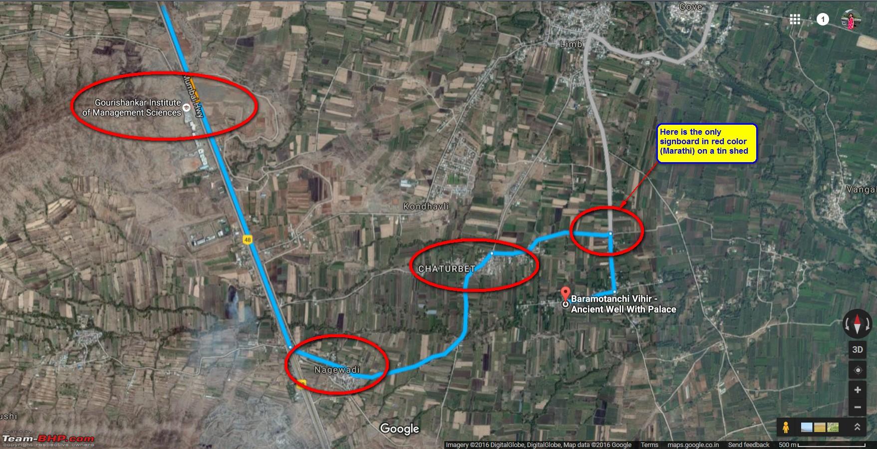
How to go to Baramotichi Vihir: There are absolutely no boards or directions inside Limb village. The advise given by my friend was to ask at every turn and then carry on. You have to go on NH4 towards Satara, cross the Mahabaleshwar turn, then before Satara, you will have an uphill section where you should see rows of modern buildings on the right. This is the Gourishankar institute of management sciences. As soon as you cross these buildings, you will see a service road on the left. Take that road. There was a small road on the left going to village Nagewadi. On asking a local person there he instructed us on the directions. Around one and a half kms from that diversion we reached a small cross road called
"Chaturpad". There was a signboard on a tin shed, showing direction towards right to Bara Motechi vihir. We took that road. It was a typical kaccha village road, but TUV loves such roads.
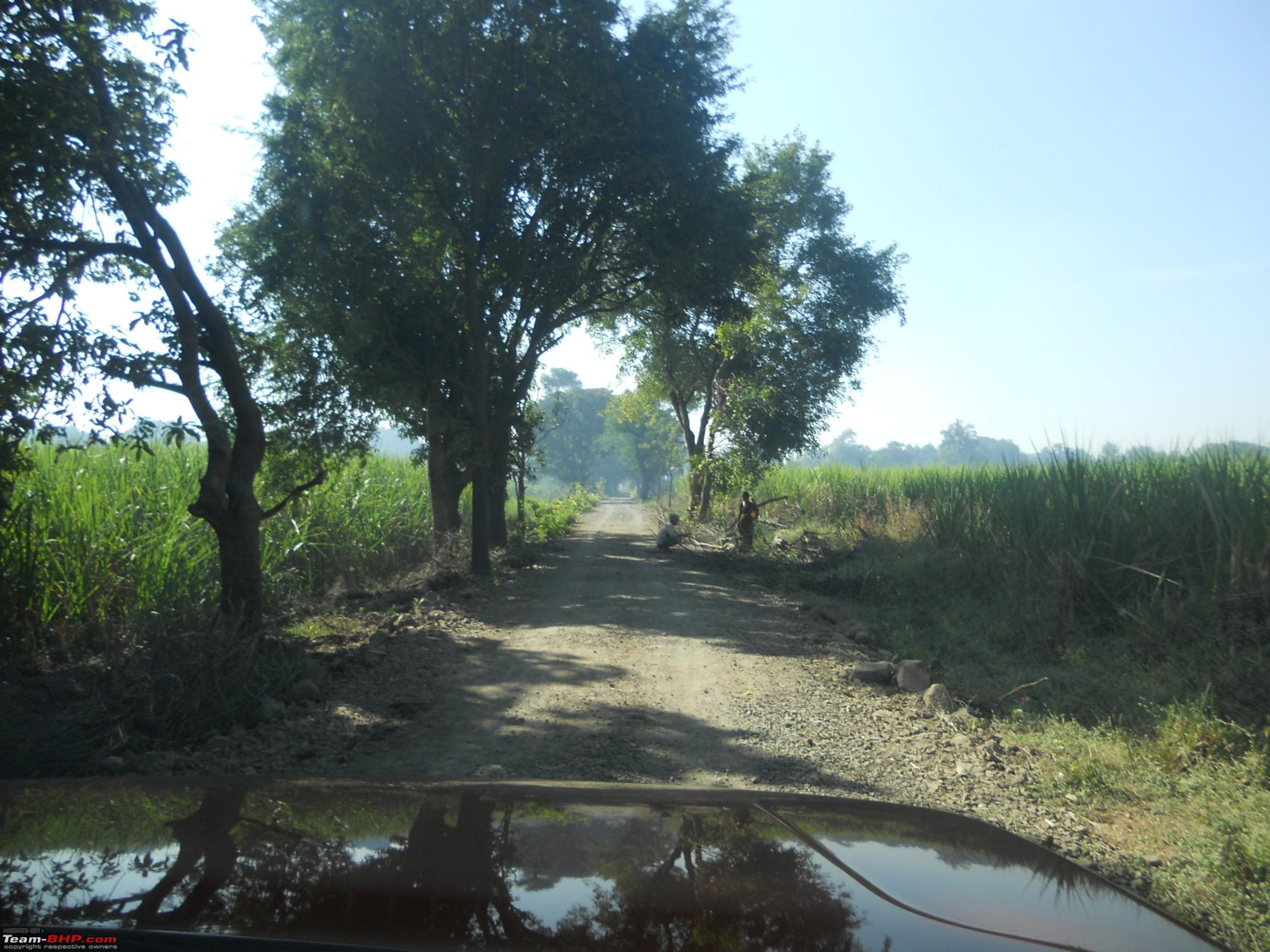
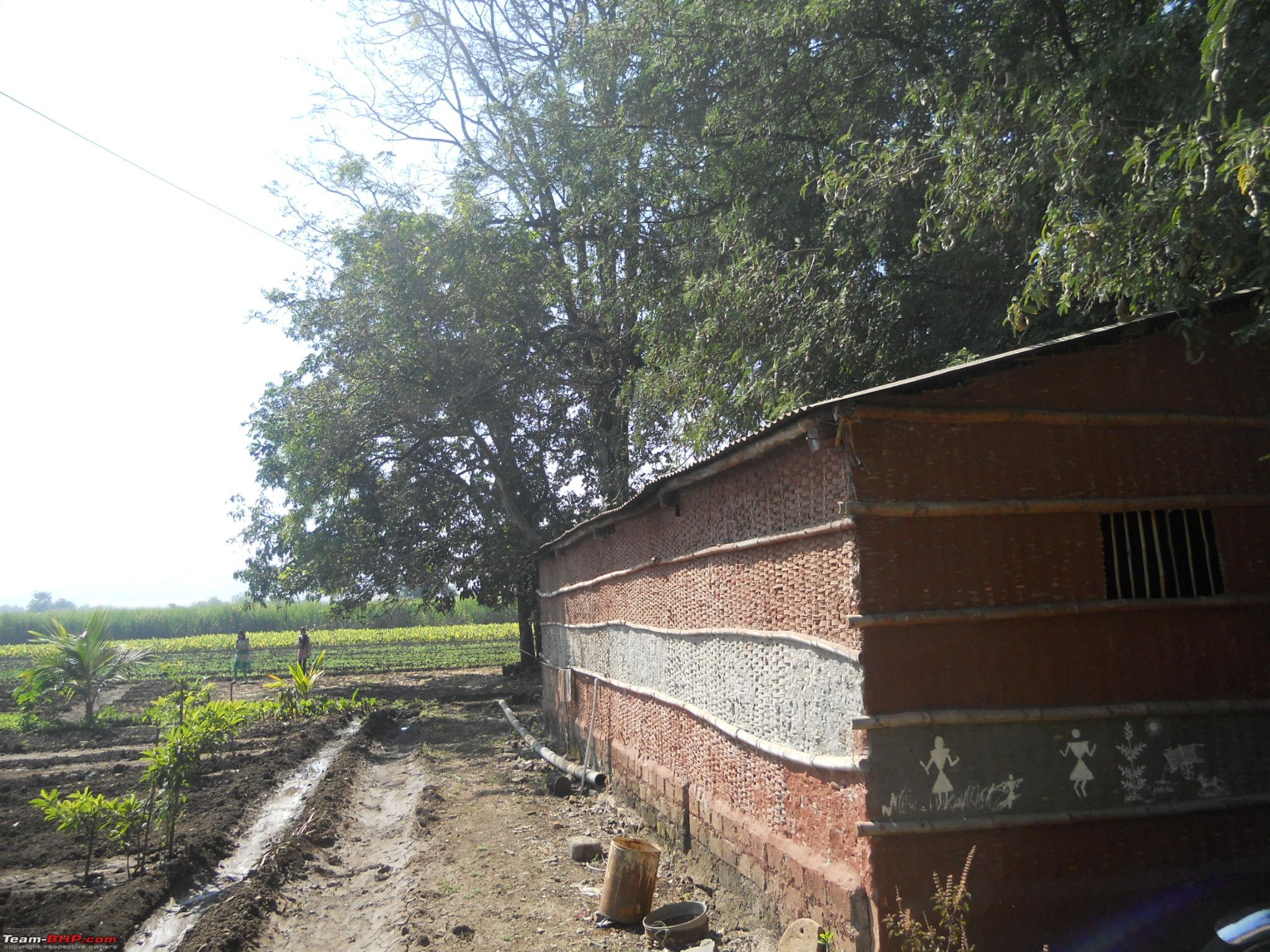
Kaccha road with sugarcane fields on left and canal on right

After progressing for 200 odd meters, we hit a "T" junction. We were lost, no signboards and no one around whom we could ask. Fortunately a tractor was trailing us. Even before we could ask him for directions, he instructed us to take a right. I asked him to proceed and we will follow him. He refused saying that he will be too slow for me to follow and I might get stuck behind him, hence he instructed me to proceed and he would follow me, hardly the kind of courtesy we see on the roads nowadays.
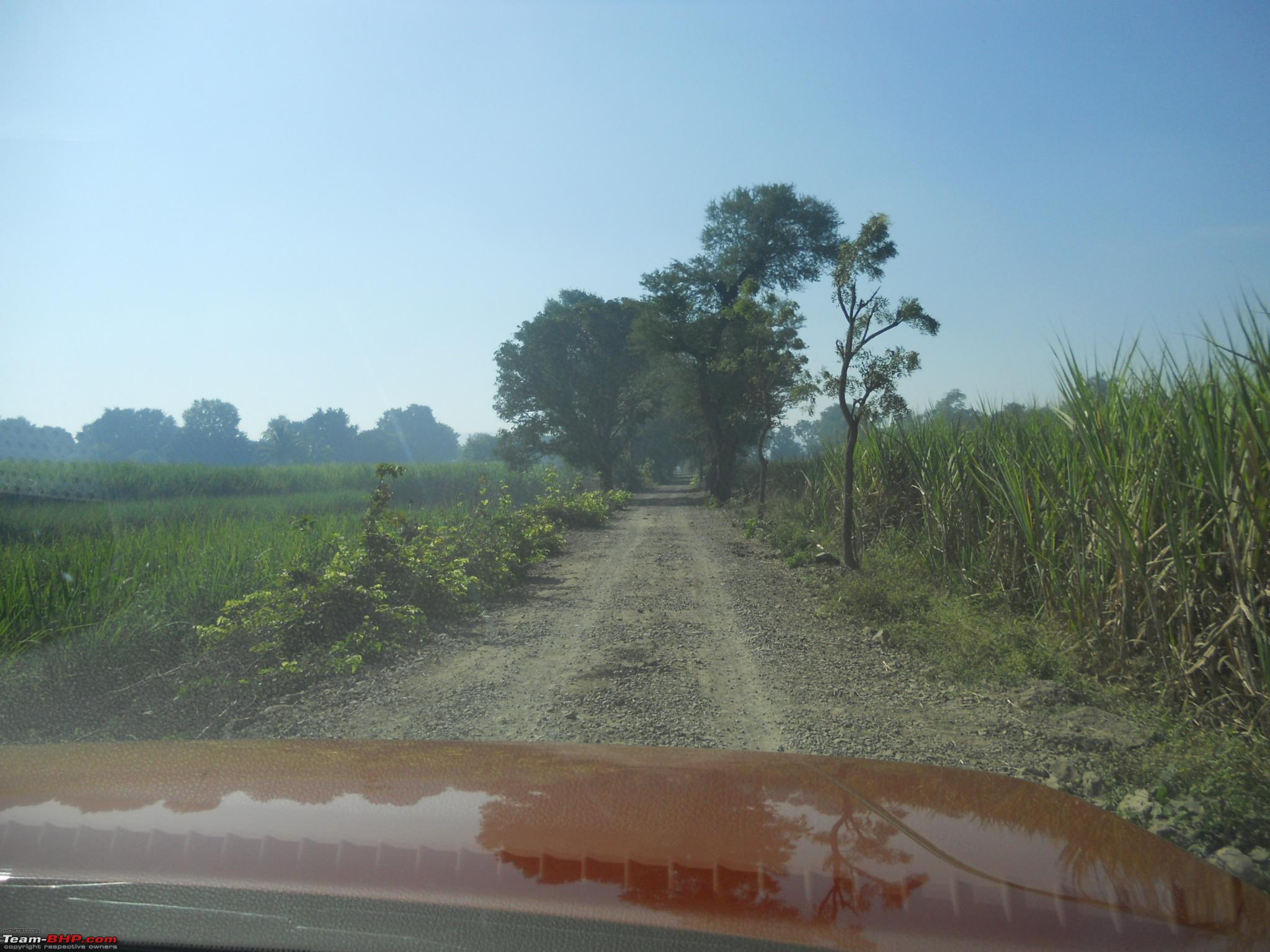
The kaccha road continues

Narrow road passing through the fields

Finally after around 3.2 kms from the highway, we reached our destination, exactly at
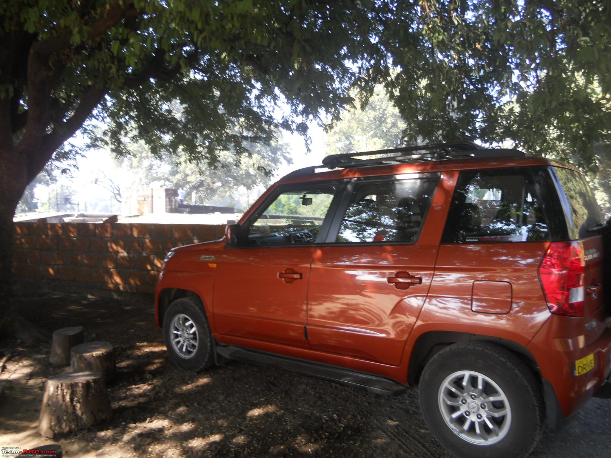
10:00am. 3 hours to cover 123 kms (including a break). Orange Tank parked under the shade of a huge tamarind tree (well seen in the background)
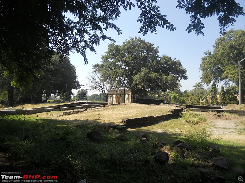
On right hand side is the boundary wall of the well under construction
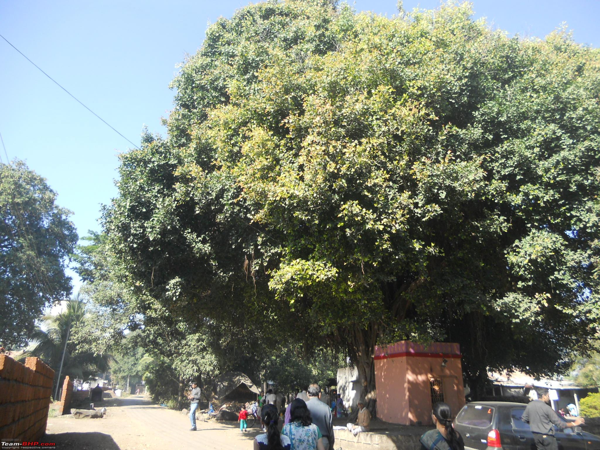
The huge Banyan tree in front of the well
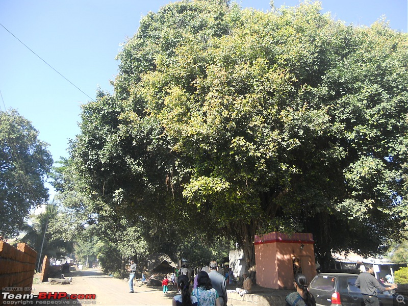
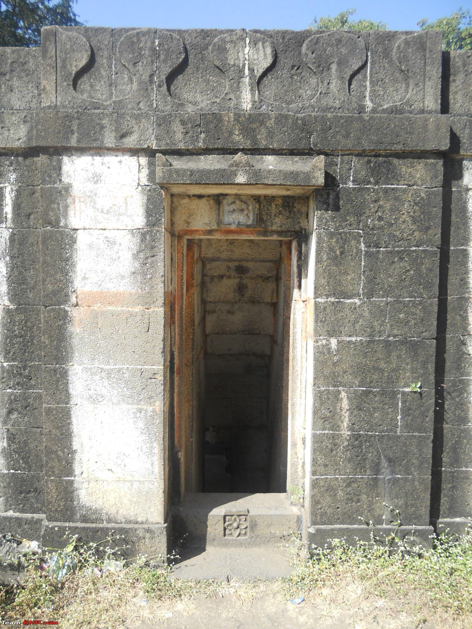
This is the actual well as it looks from outside

And the well seen from a distance
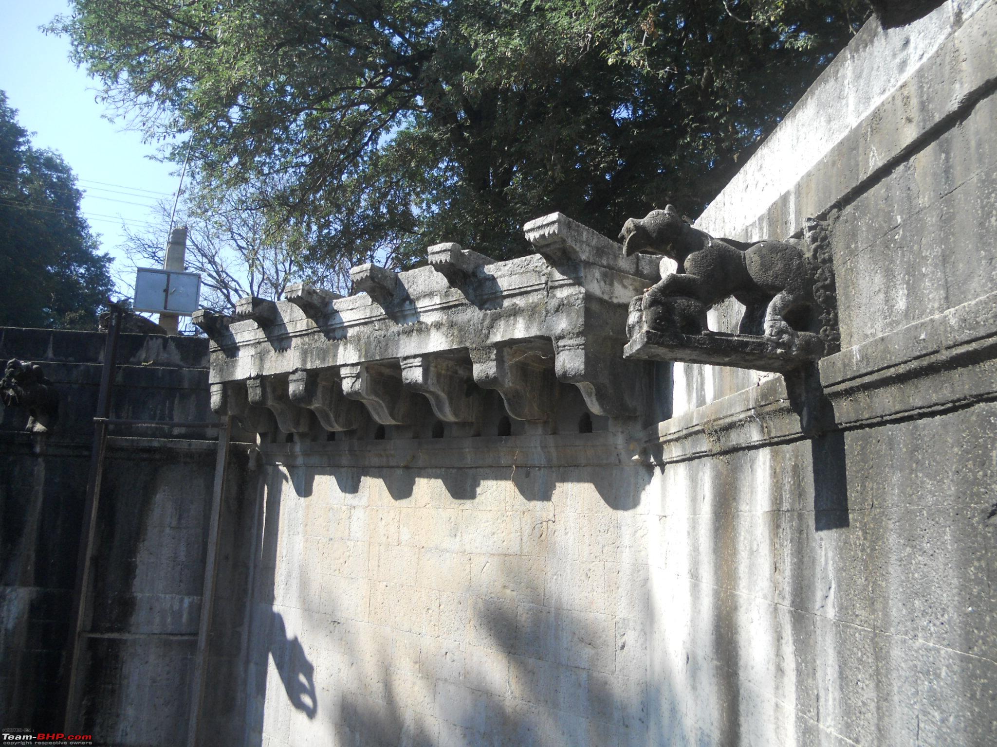
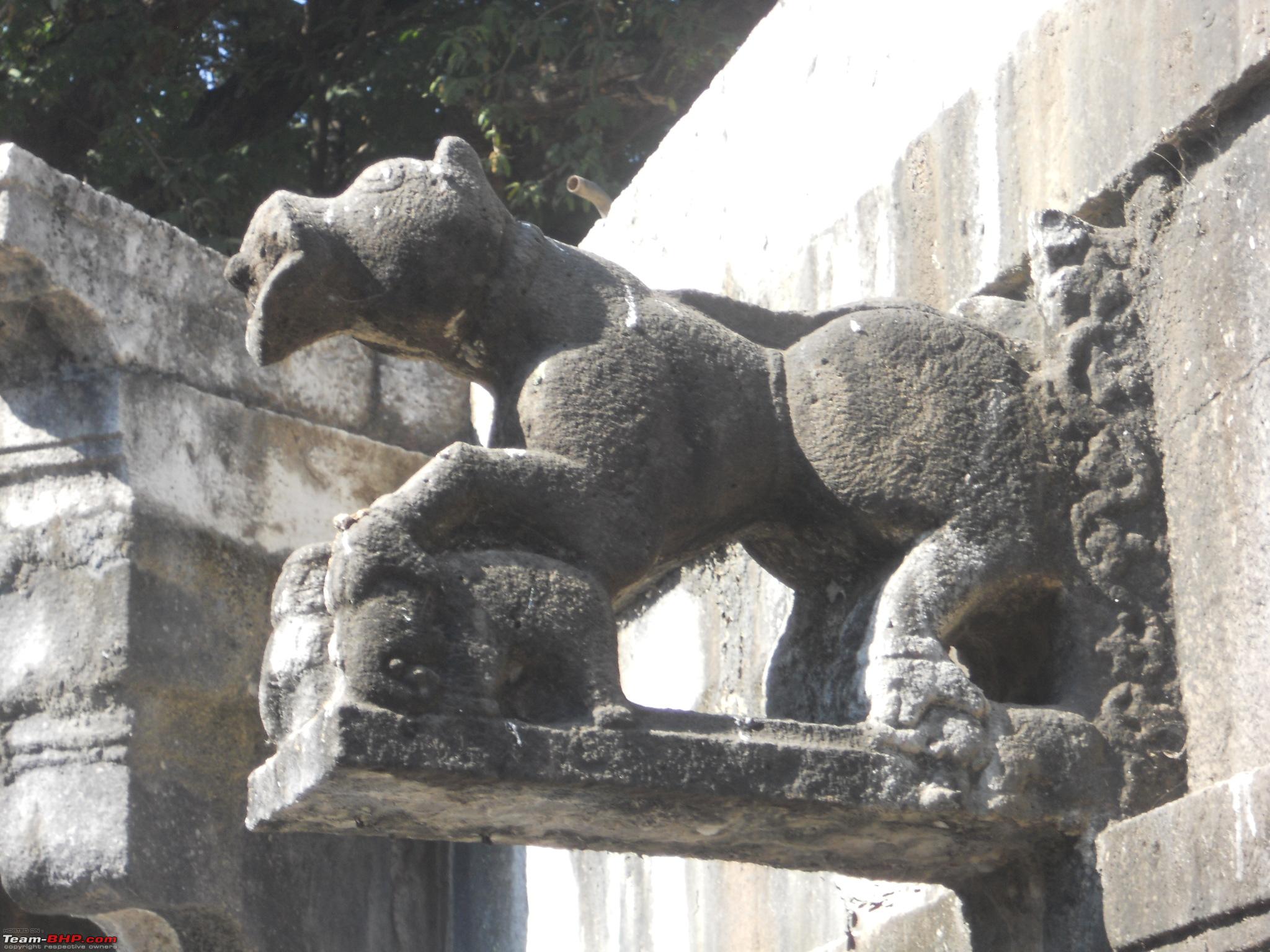
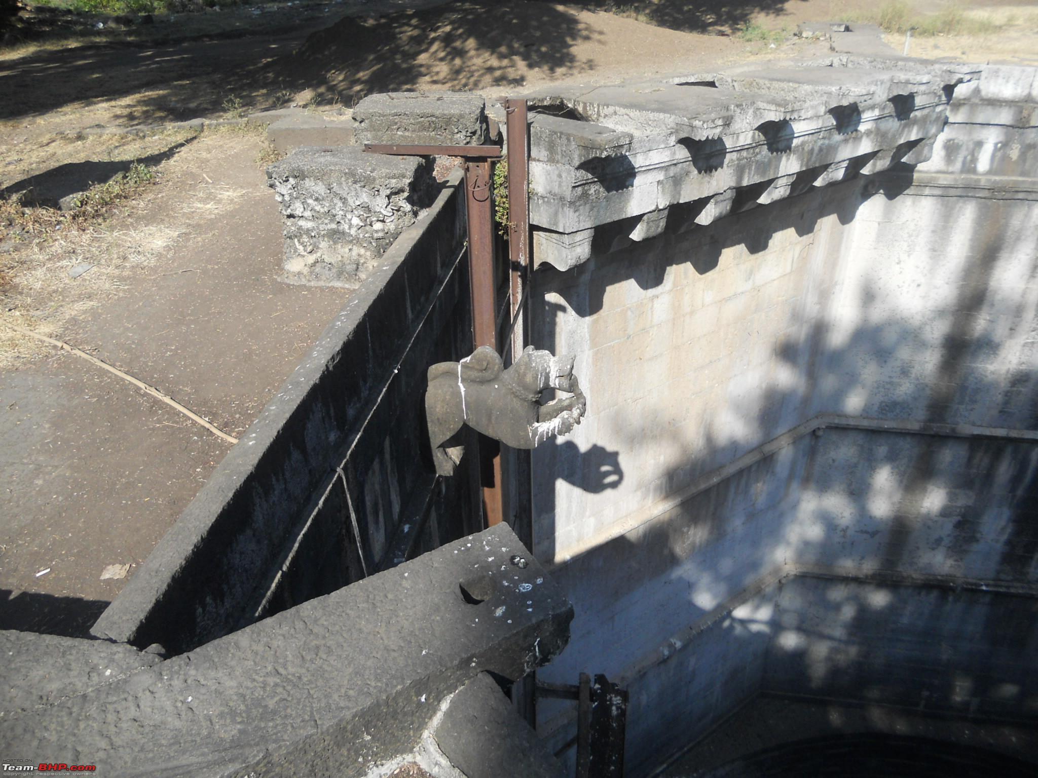
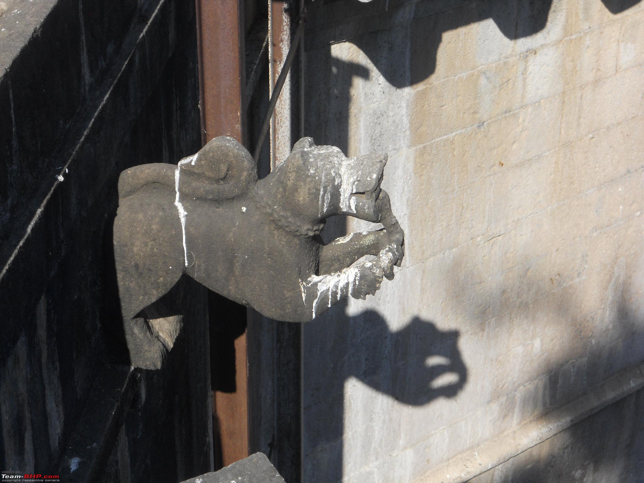
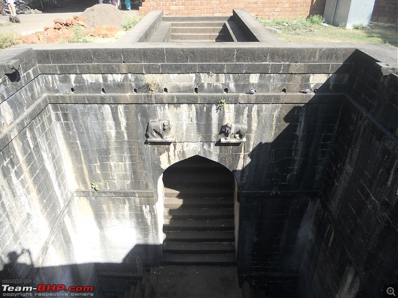
Another statue of the Varaha look alike animal

Animal seen up close

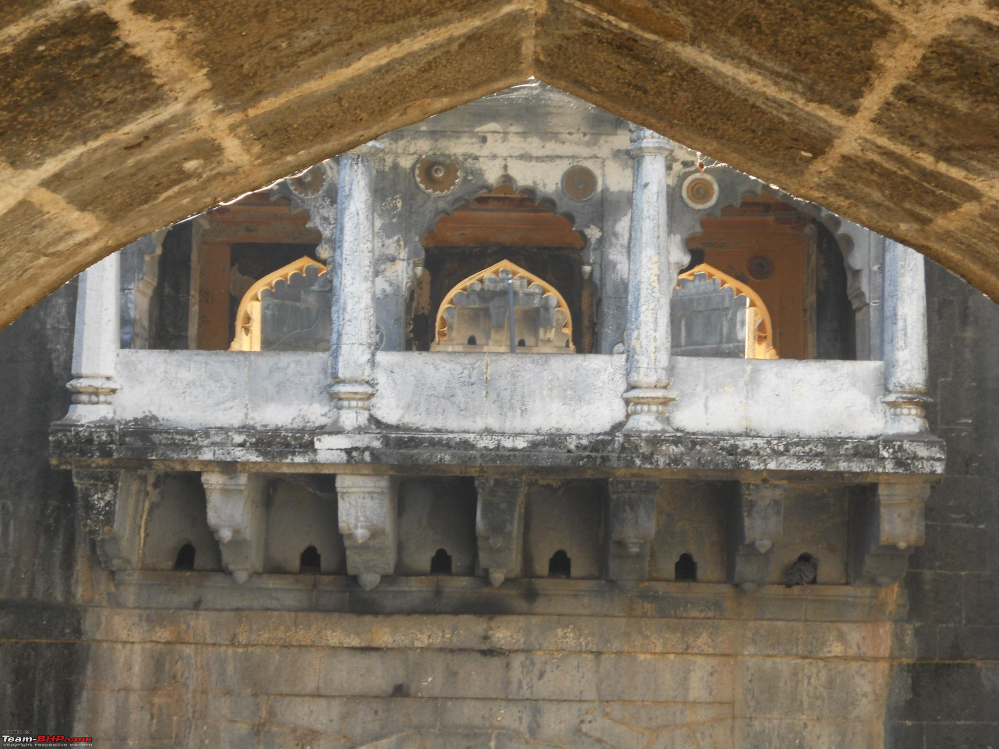
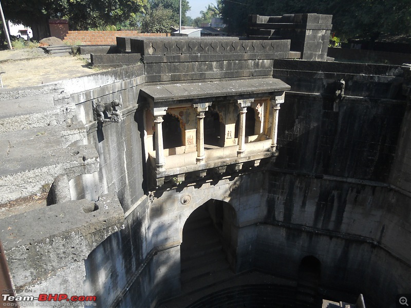
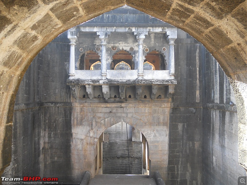
The viewing gallery facing the well side

The viewing gallery seen from a distance
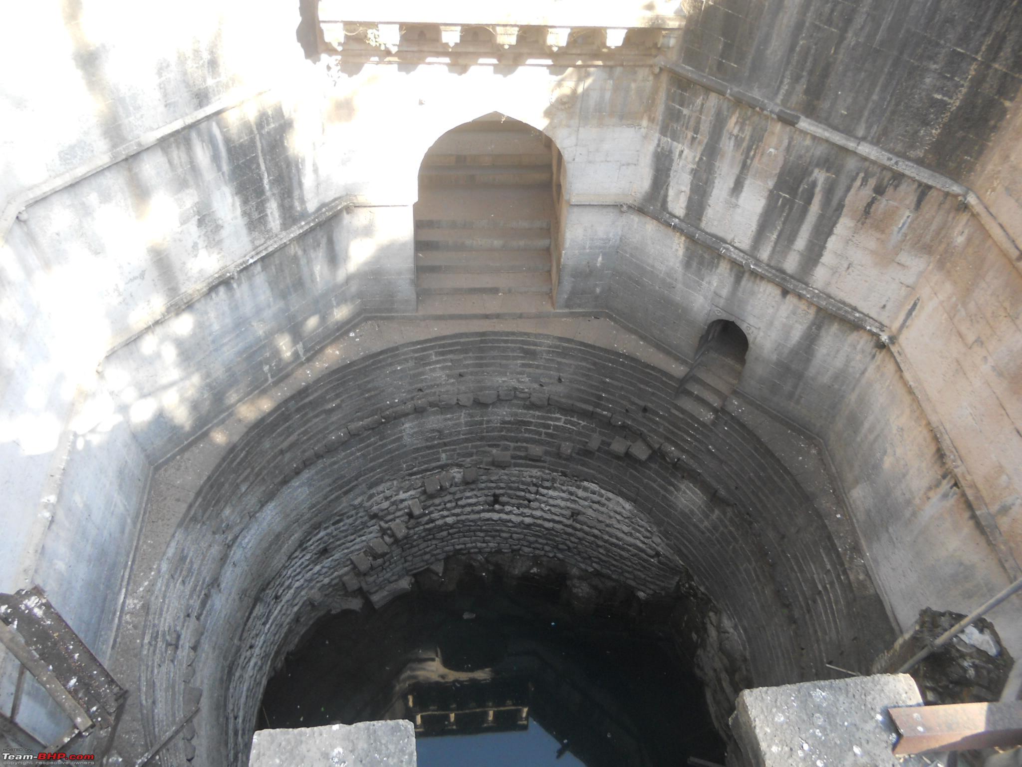
This picture clearly showing the steps from ground level leading to the well
Throne like structure atop the viewing gallery

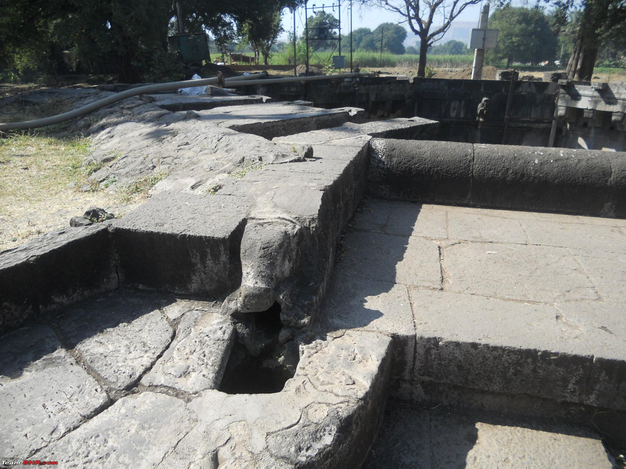
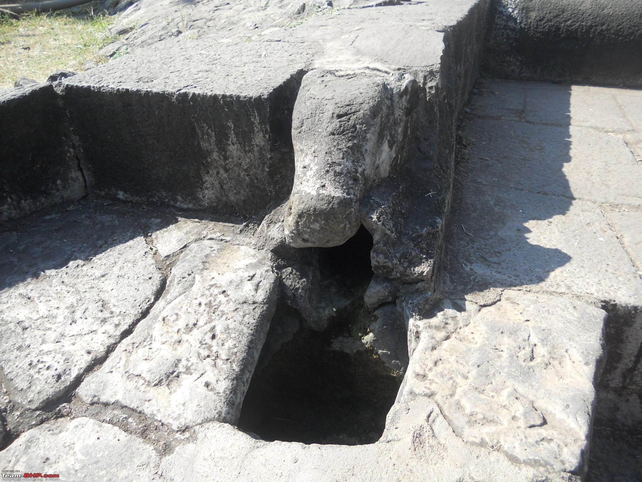
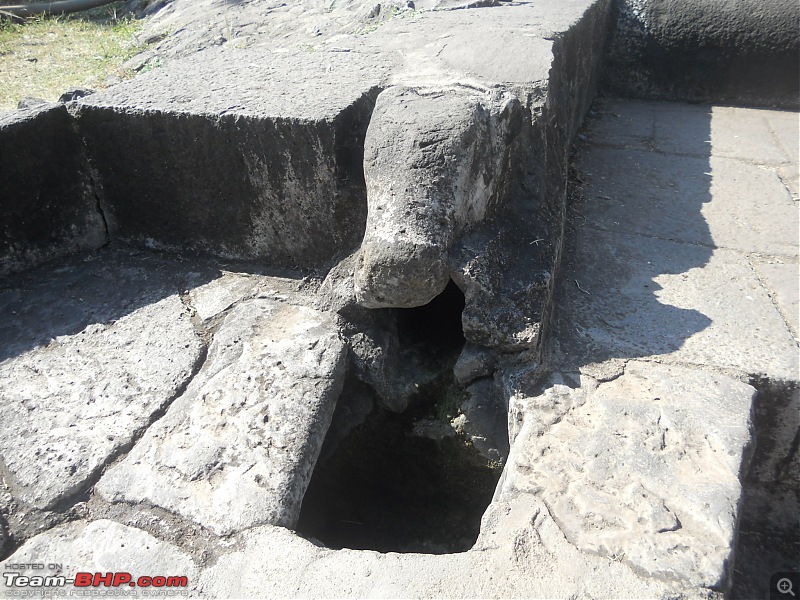
The shivling like structure from where the water extracted from well would flow out

Another view of the water path

The gomukh through which the extracted water would flow

The gomukh up close
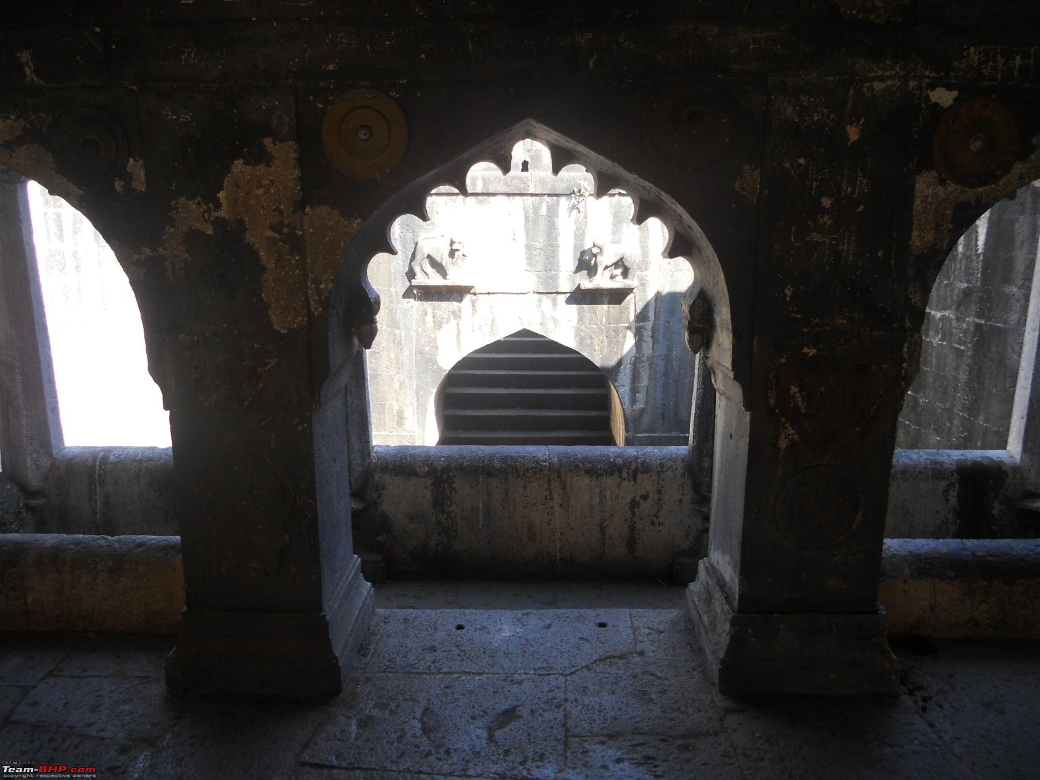
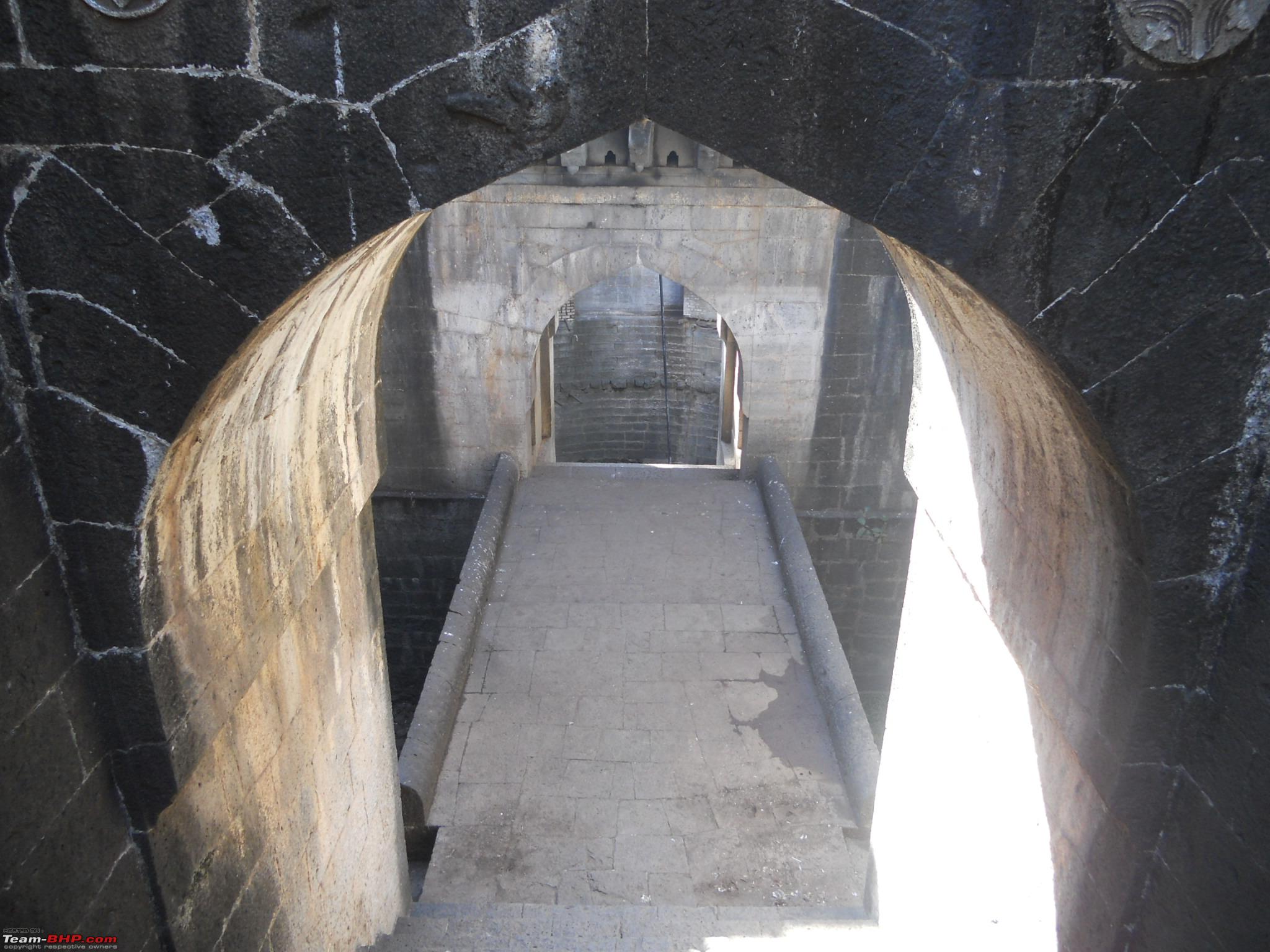
One of the entrances on side of the well leading to the viewing gallery

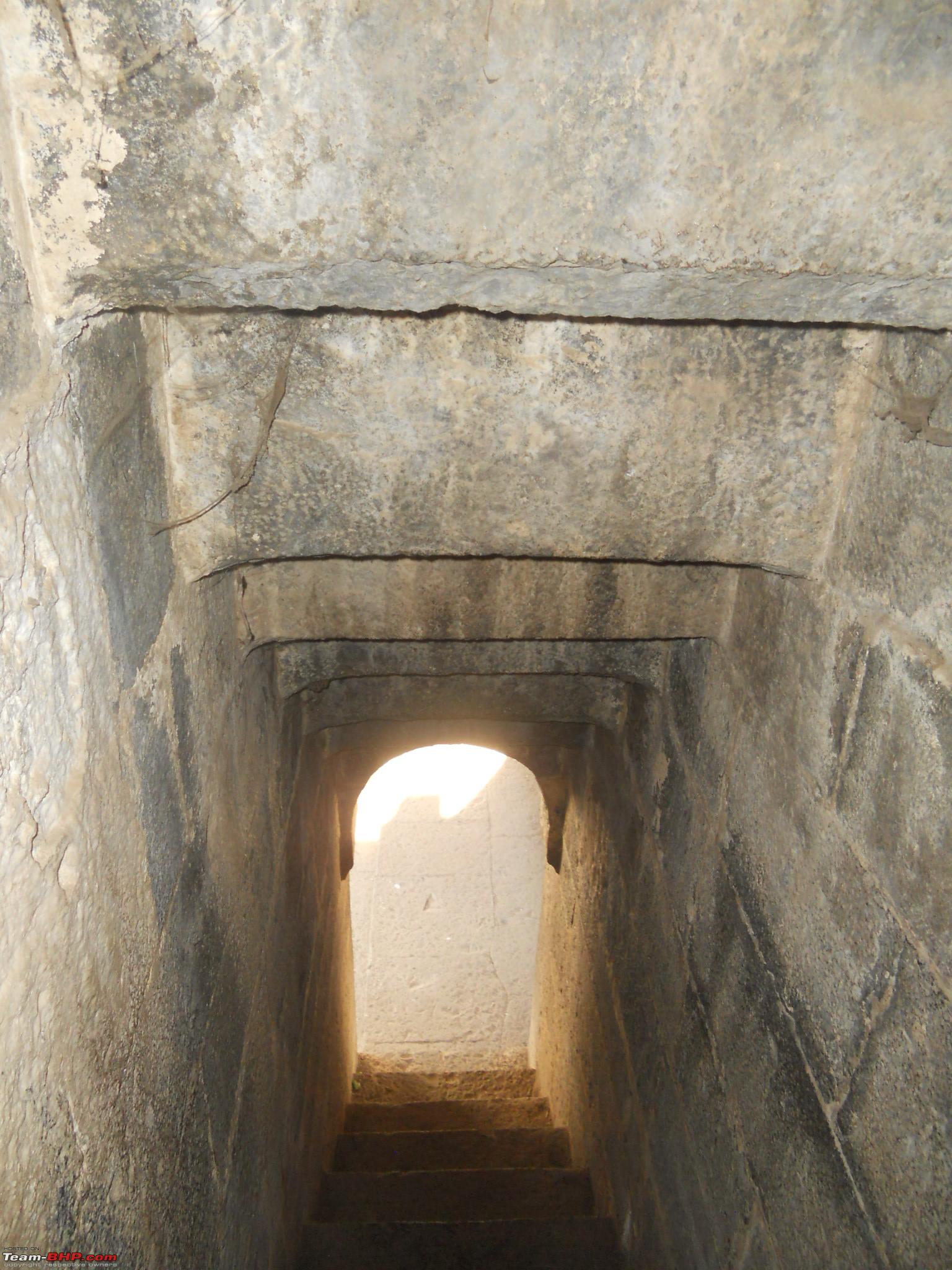
The stair case leading to the viewing gallery
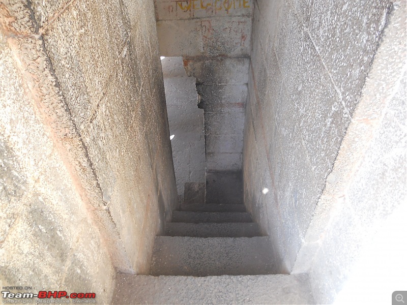
The Stairs turning left as we climb down

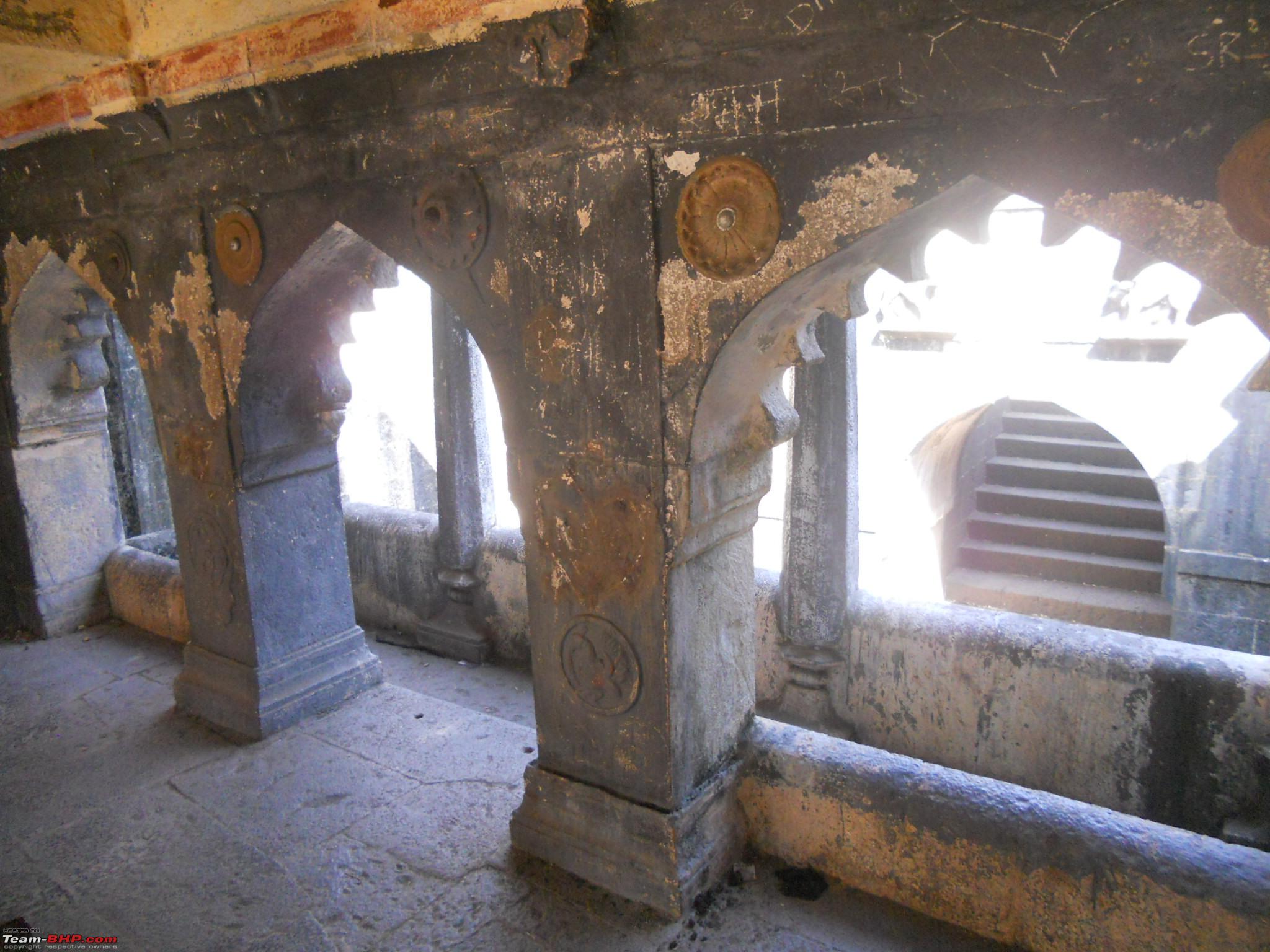
The arches in the background of viewing gallery

The arches behind the rear viewing gallery

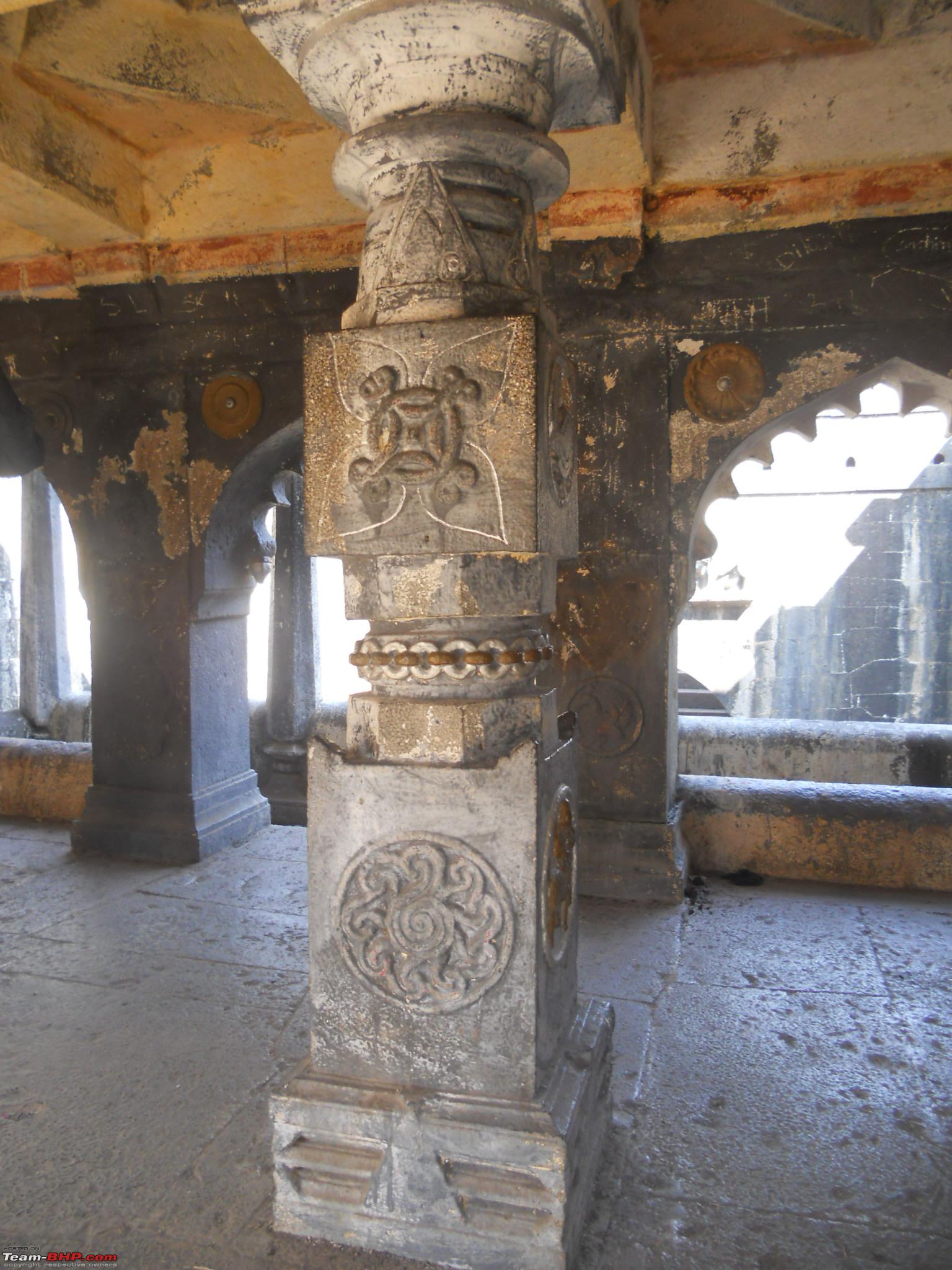
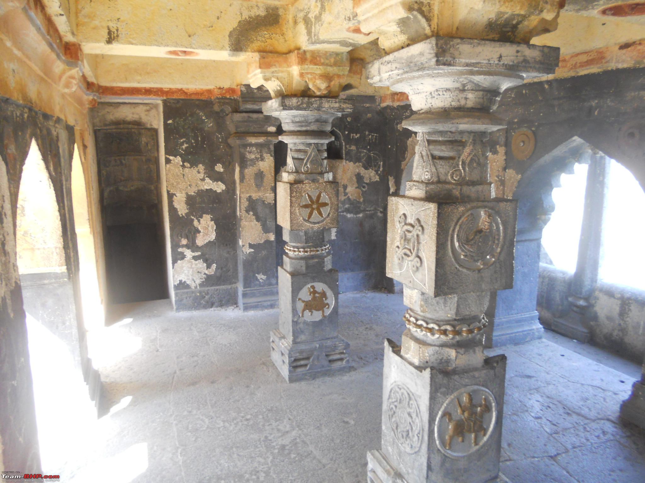
Two pillars at the centre separating the two galleries
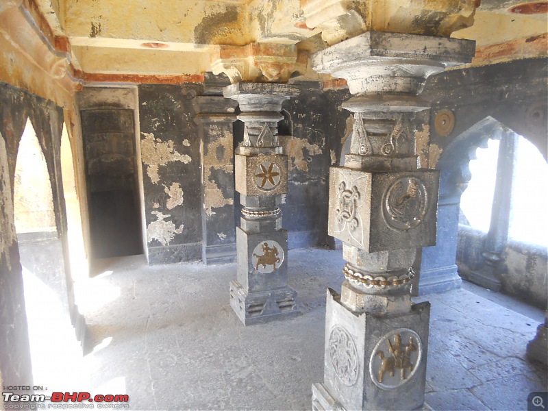
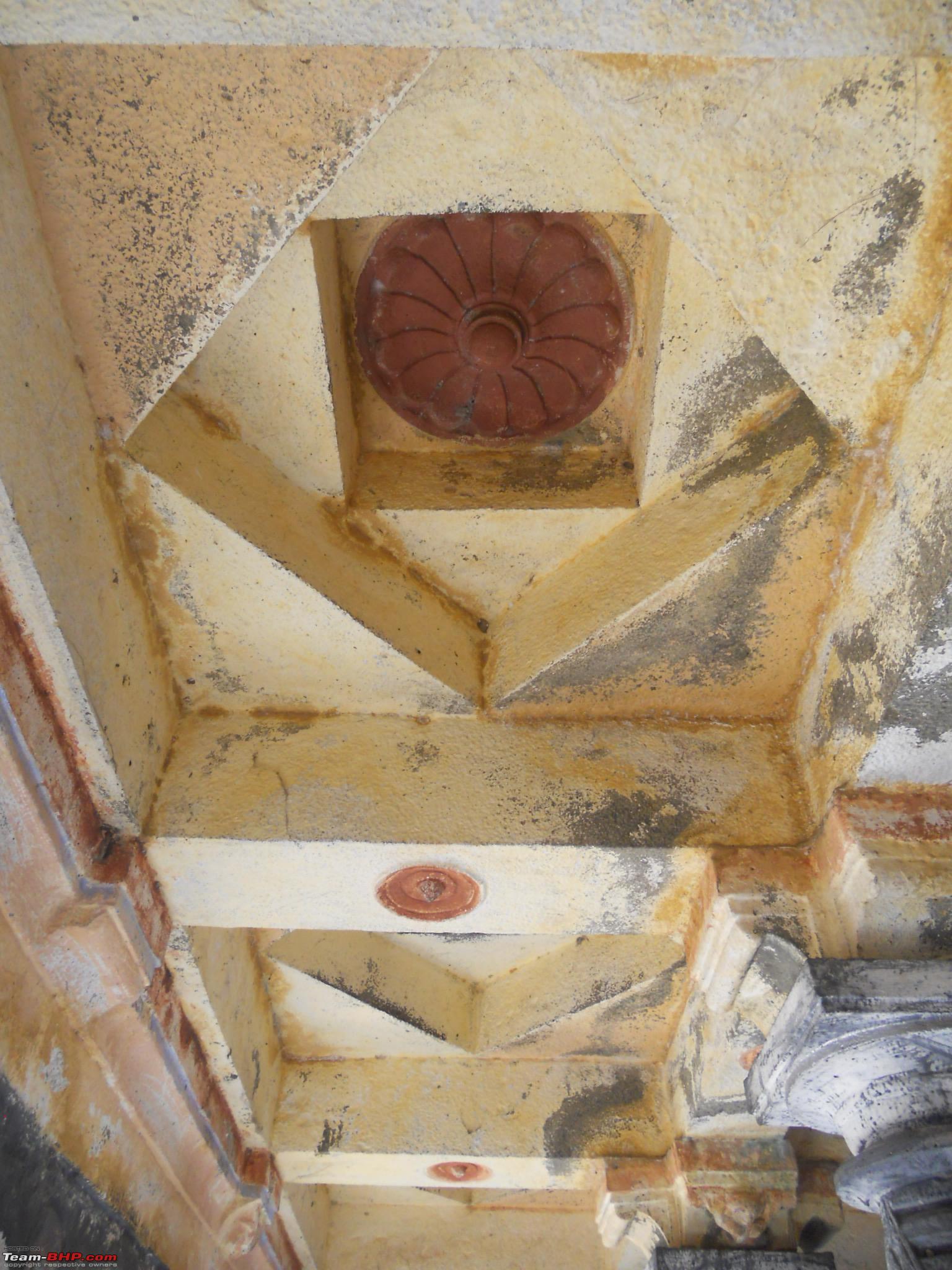
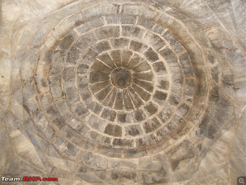
Even the ceiling has geometrical design

Three squares and a flower at the centre giving a 3D effect

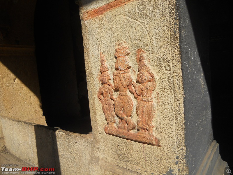
Statue of a couple on one of the arch pillars

Looks like Lord Krishna with his Gopiyaan
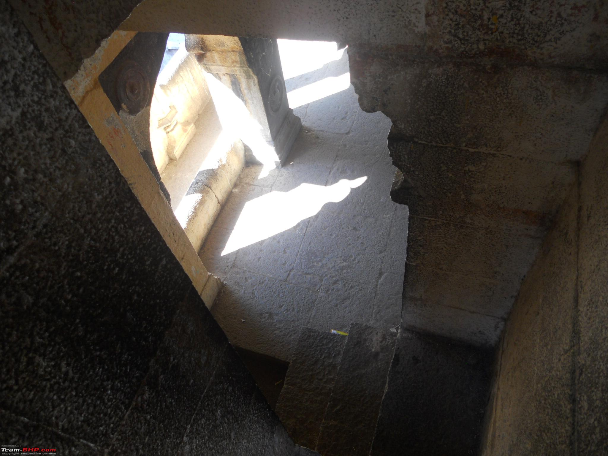
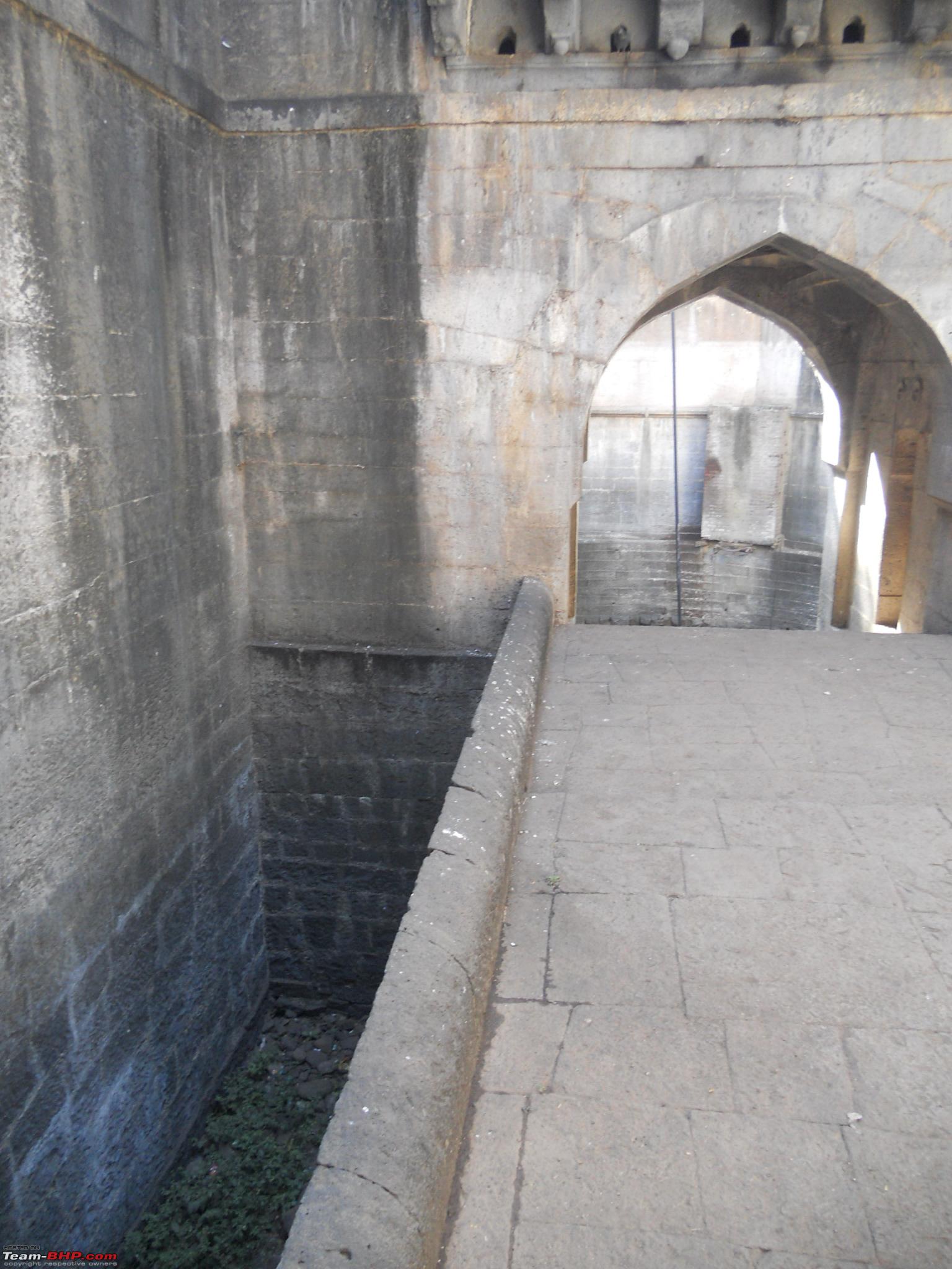
A small entrance on right hand side leading to the chor darwaja

Steps leading further down to the chor darwaja

Exit of the chor darwaja

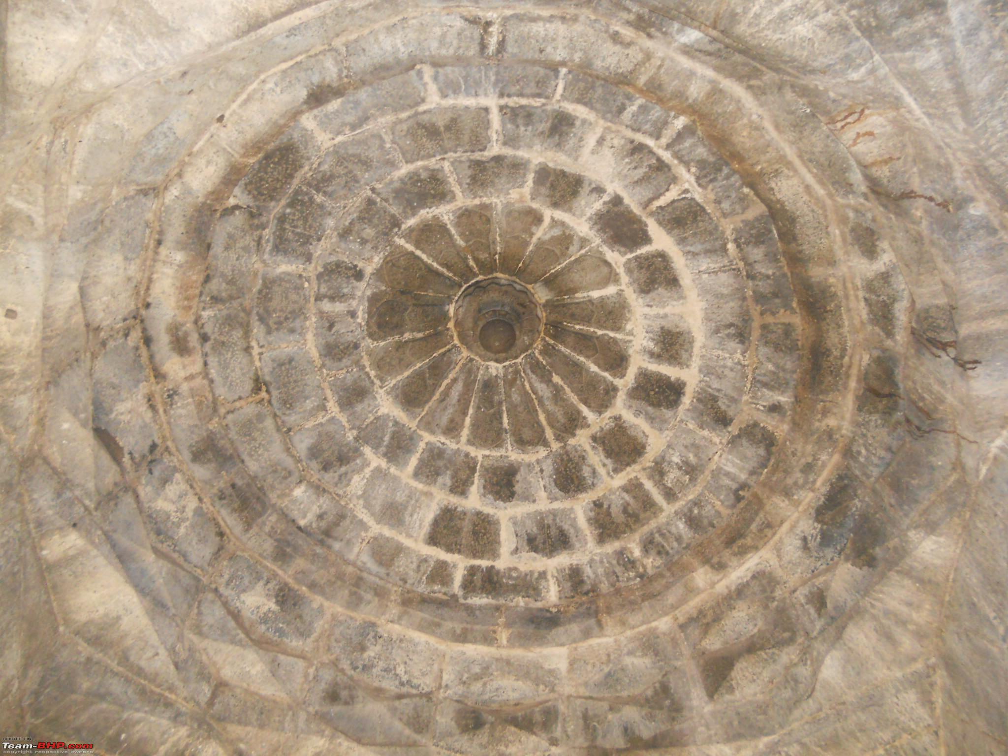
Roof architecture of the central dome
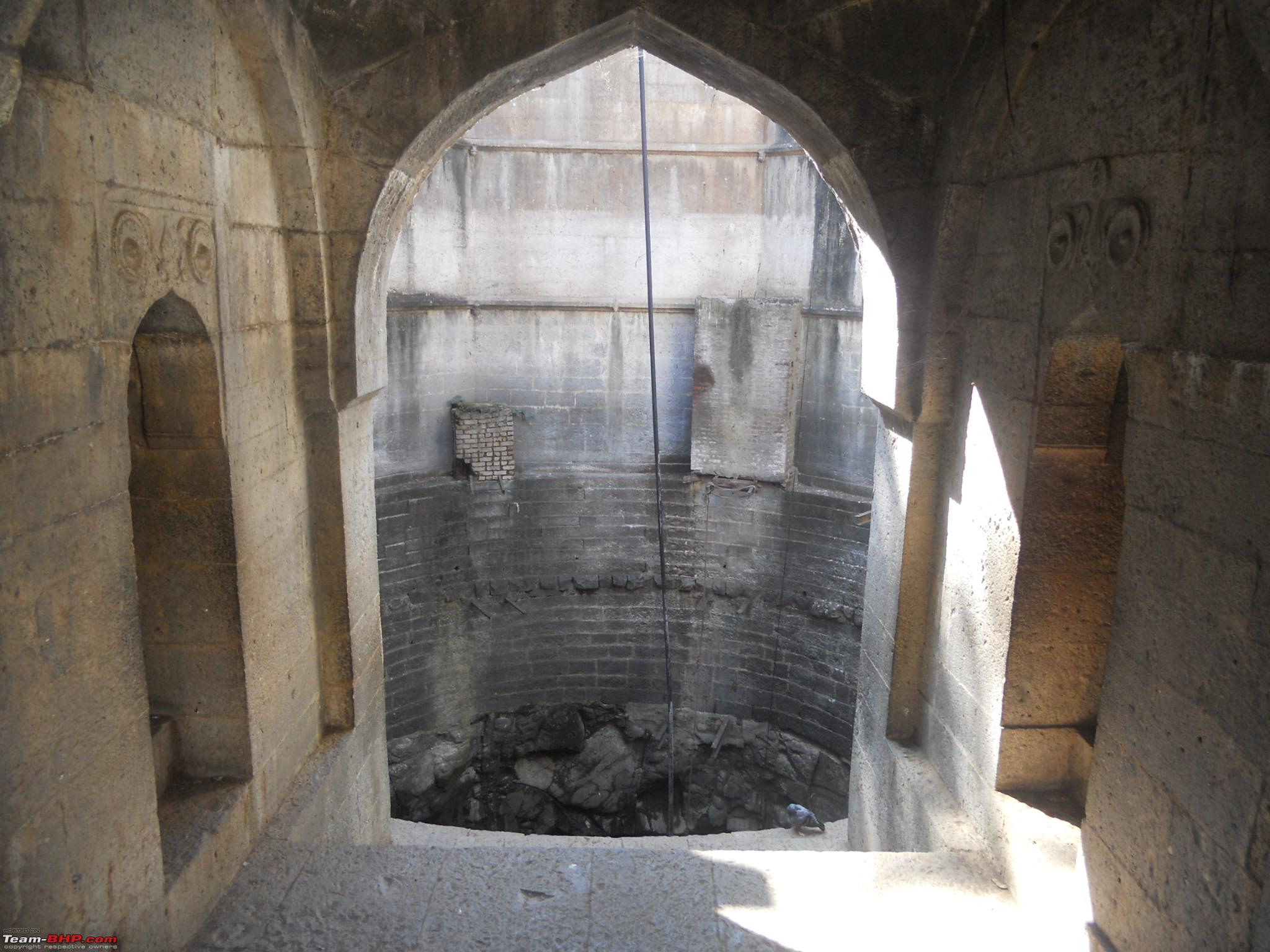
Two small entrances on either side of the arch leading to the well

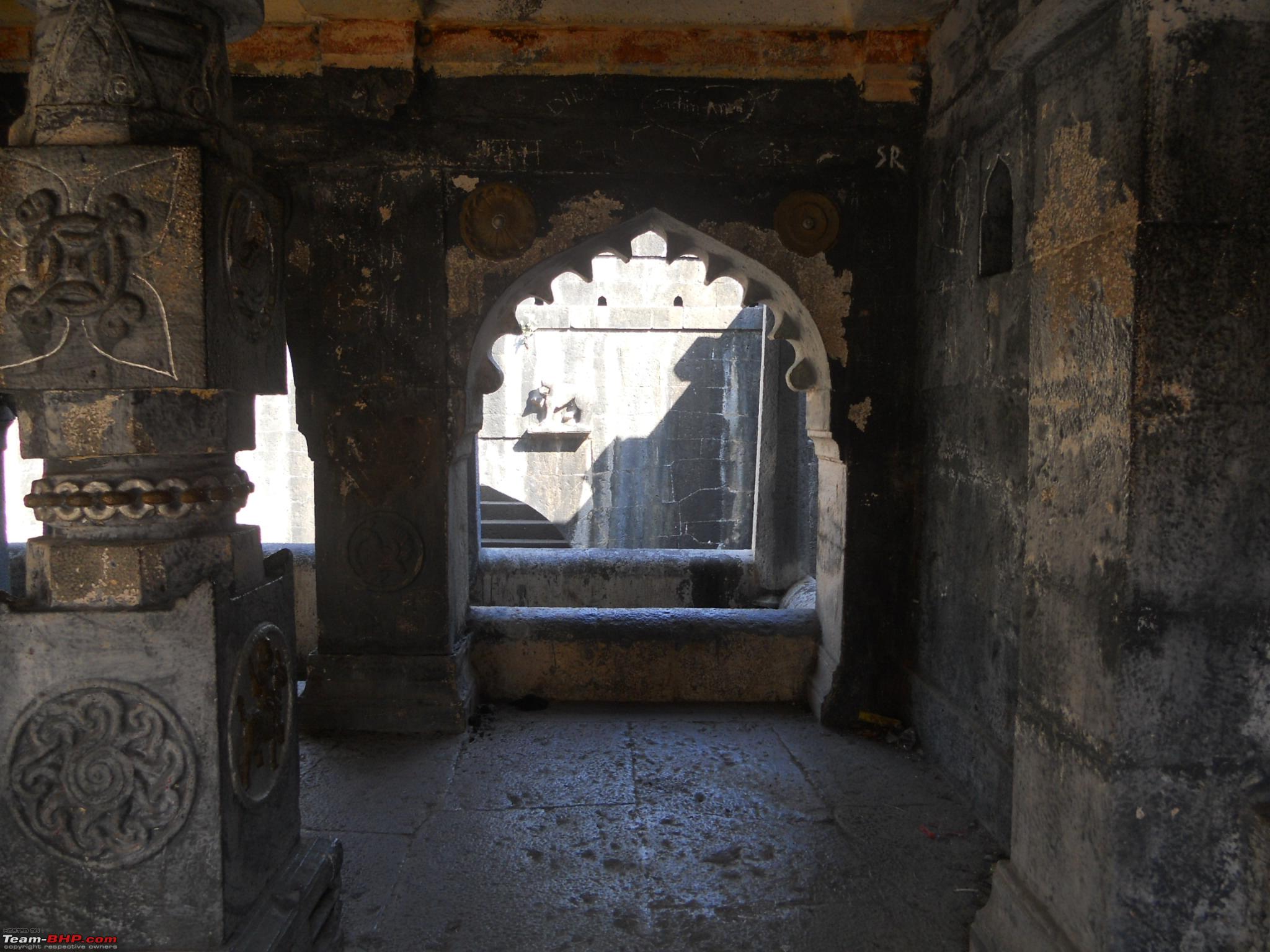
The rear viewing gallery as seen down under

The rear viewing gallery as seen from the entrance arch
A close up of the rear viewing gallery
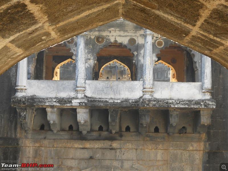
Arch in an arch

I didn't understand the purpose of the trench on either sides of the path leading to the well

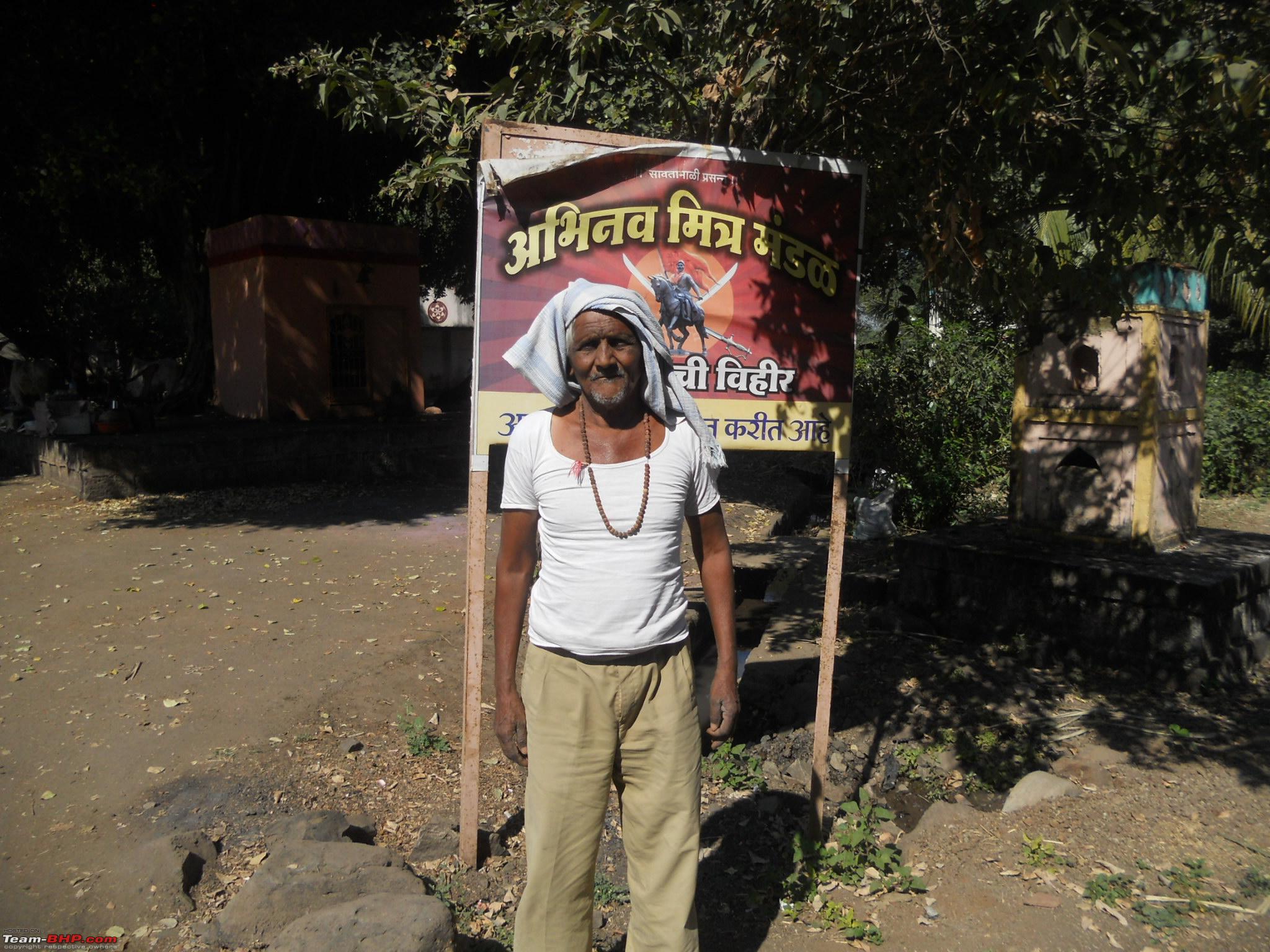
We had our breakfast in the courtyard of the thatched house and had some good tea ordered from that house. If pre-ordered the villagers around the well can prepare breakfast and lunch for you. After spending around 1:30 hours at the well we started our journey towards second destination, Kas Plateau and Kas Lake.
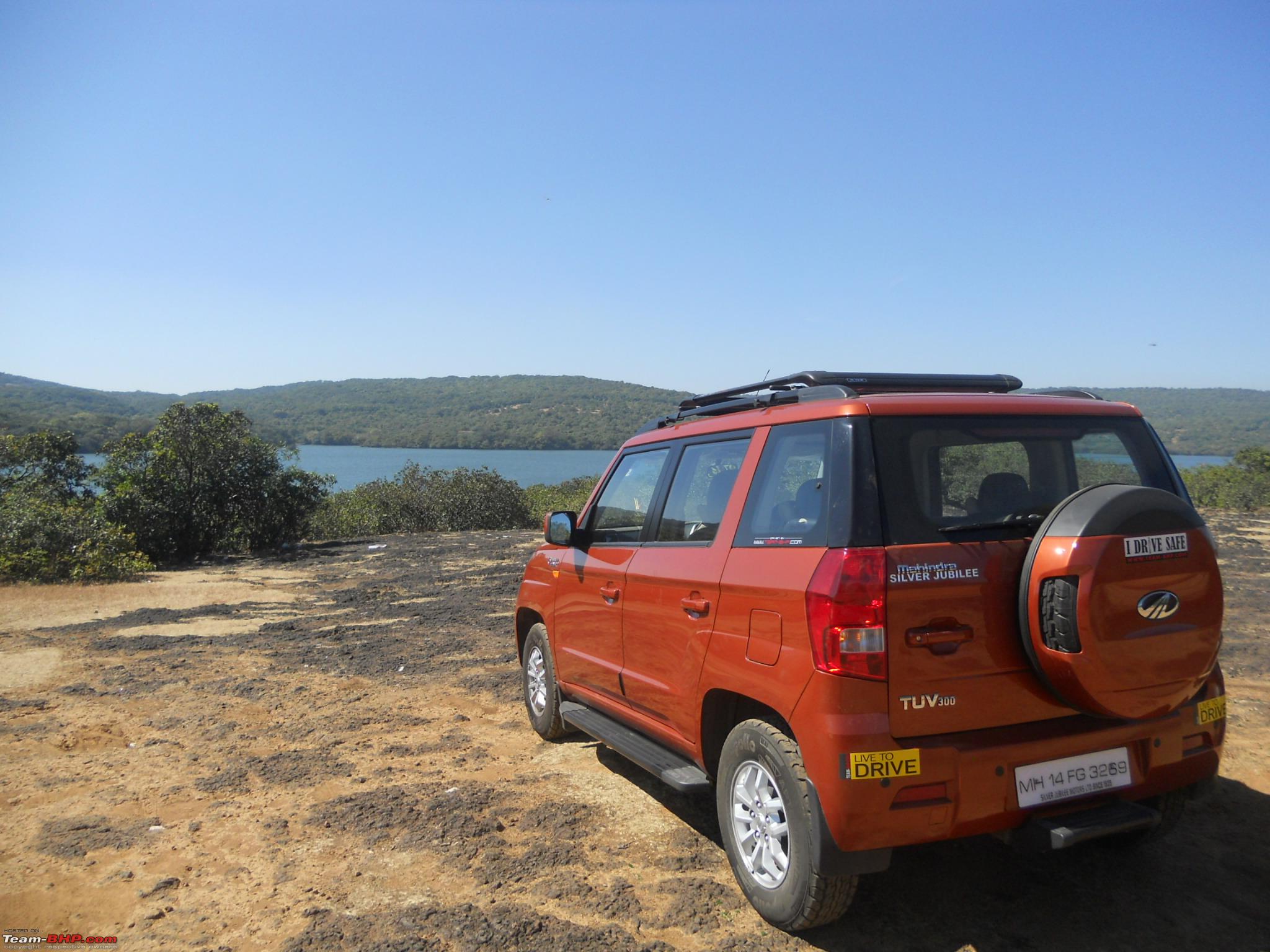
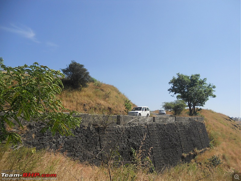
After touching the highway, we took the first diversion on left and the road underneath the highway takes you straight to Satara city. You have to cross Satara city and as soon as you leave the city the ghat road starts. You get breathtaking views on either side of the road. As soon as the ghat road ends you hit a plateau. You can see the Kanher dam on the right and the Urmodi project backwater on the left. At one of the good spots, took a pit stop and clicked the below pictures.
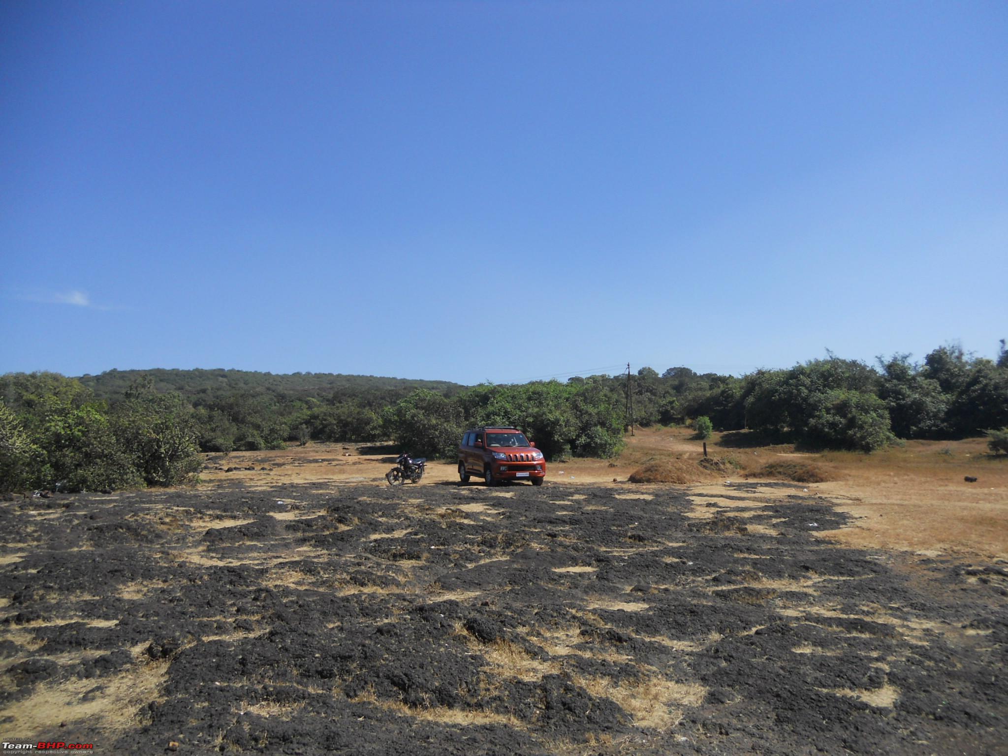
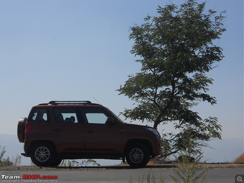
Orange tank taking the much deserved break after climbing the ghat
 A view of the road coming downhill
 Both sides of the road there is valley
 The Orange tank from a distance
 Up close - a shadow of its own
 A good section of the road - well laid out
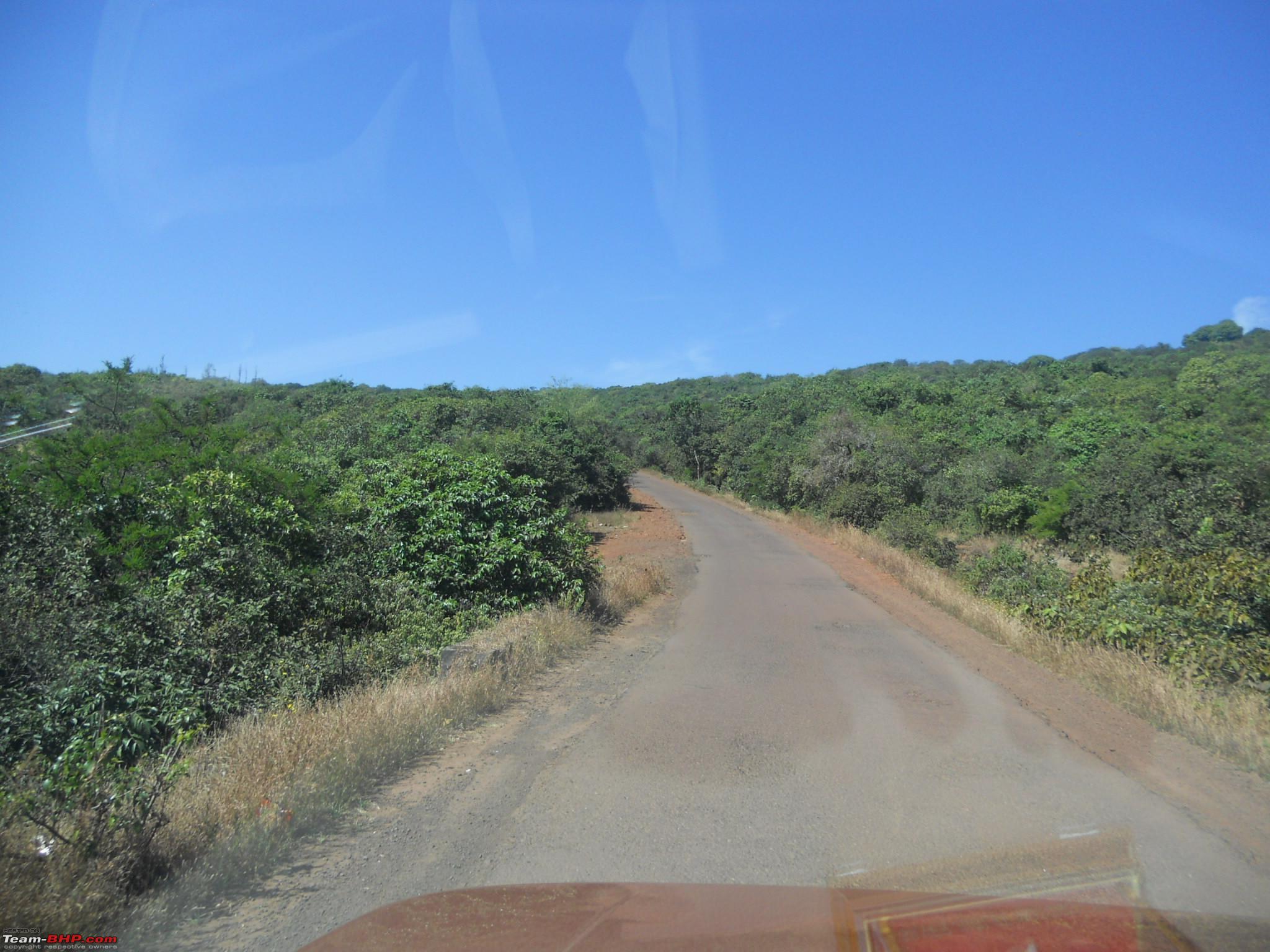
 See the thick vegetation on both sides of the road
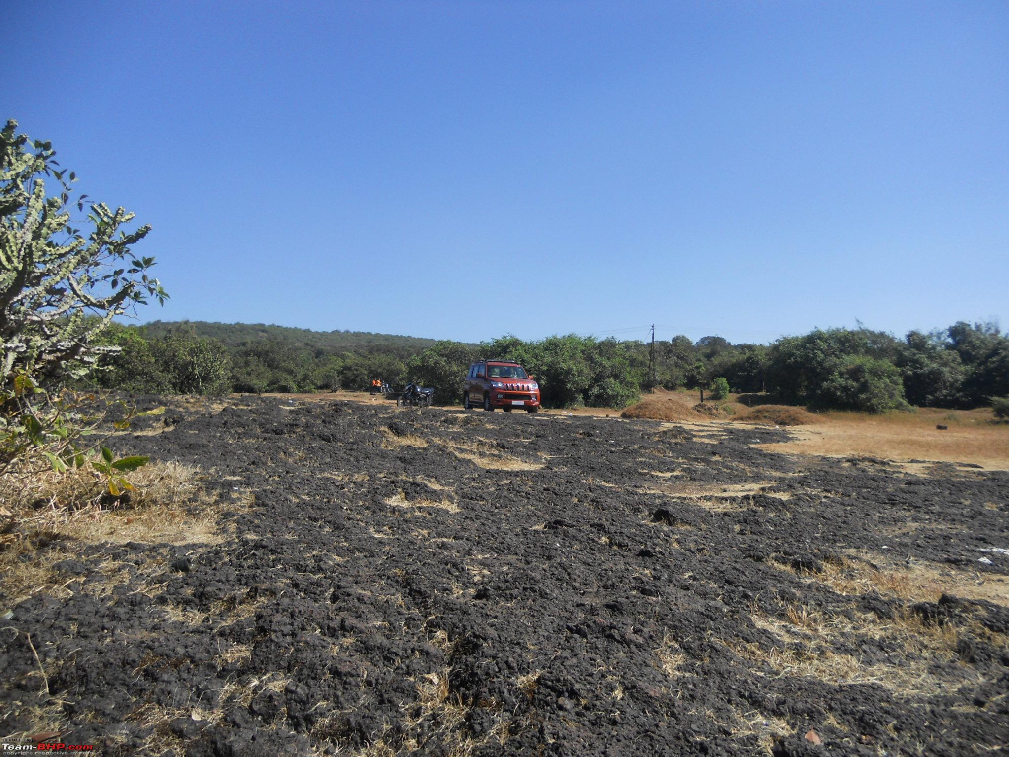
 The actual Kas plateau (which flowers during Aug-Sep) starts from here. It has been fenced to protect the flora and fauna
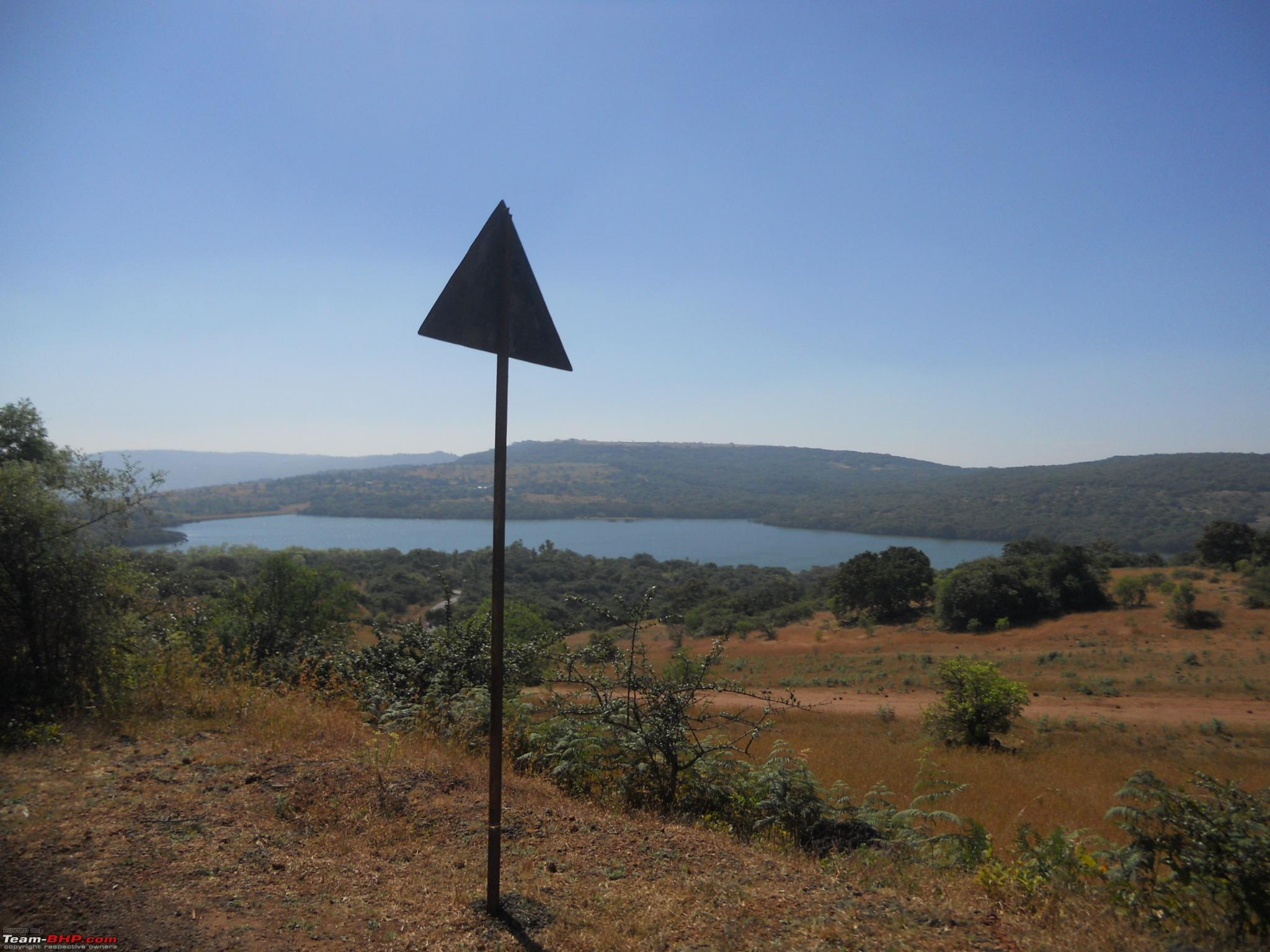
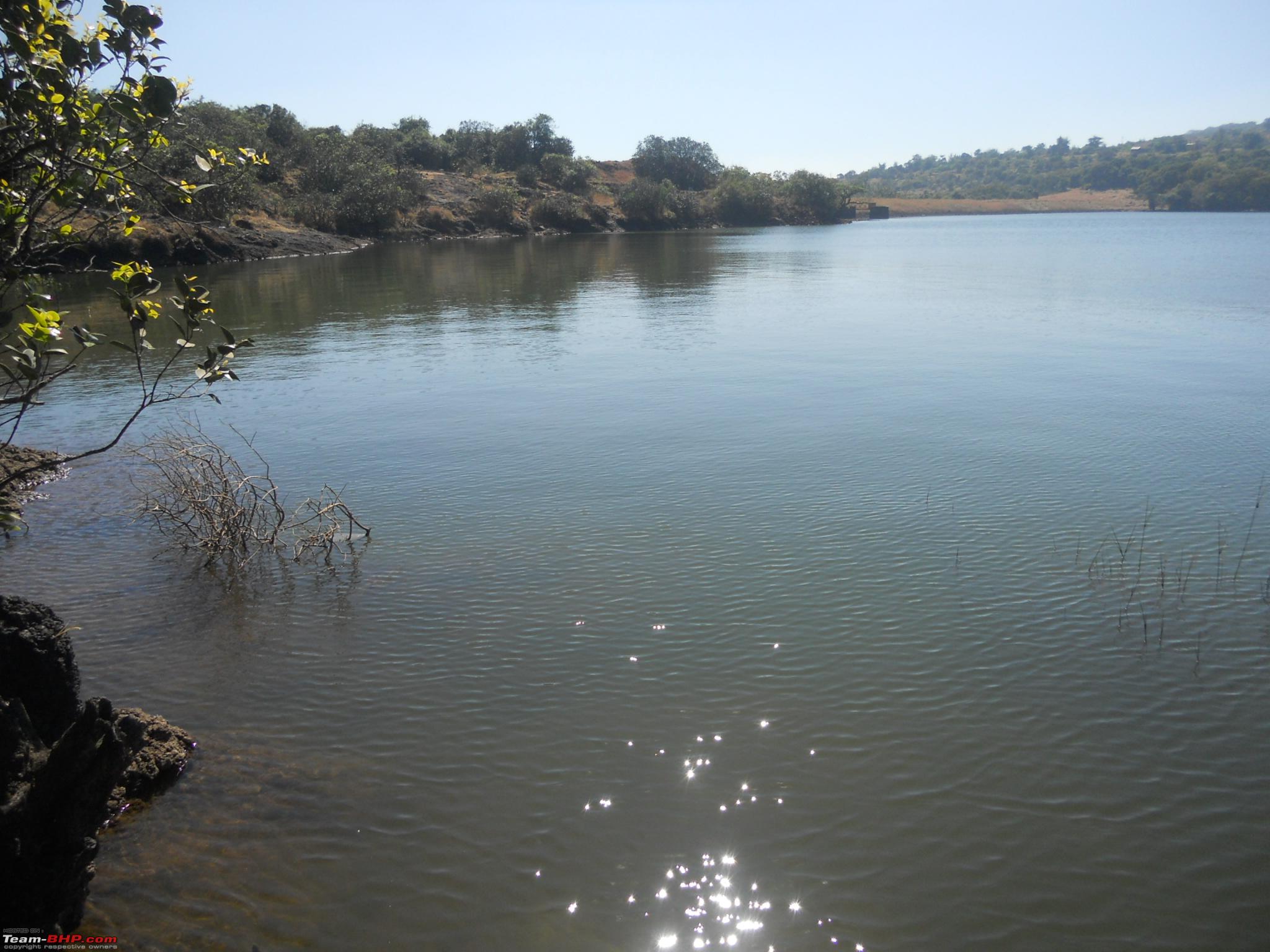
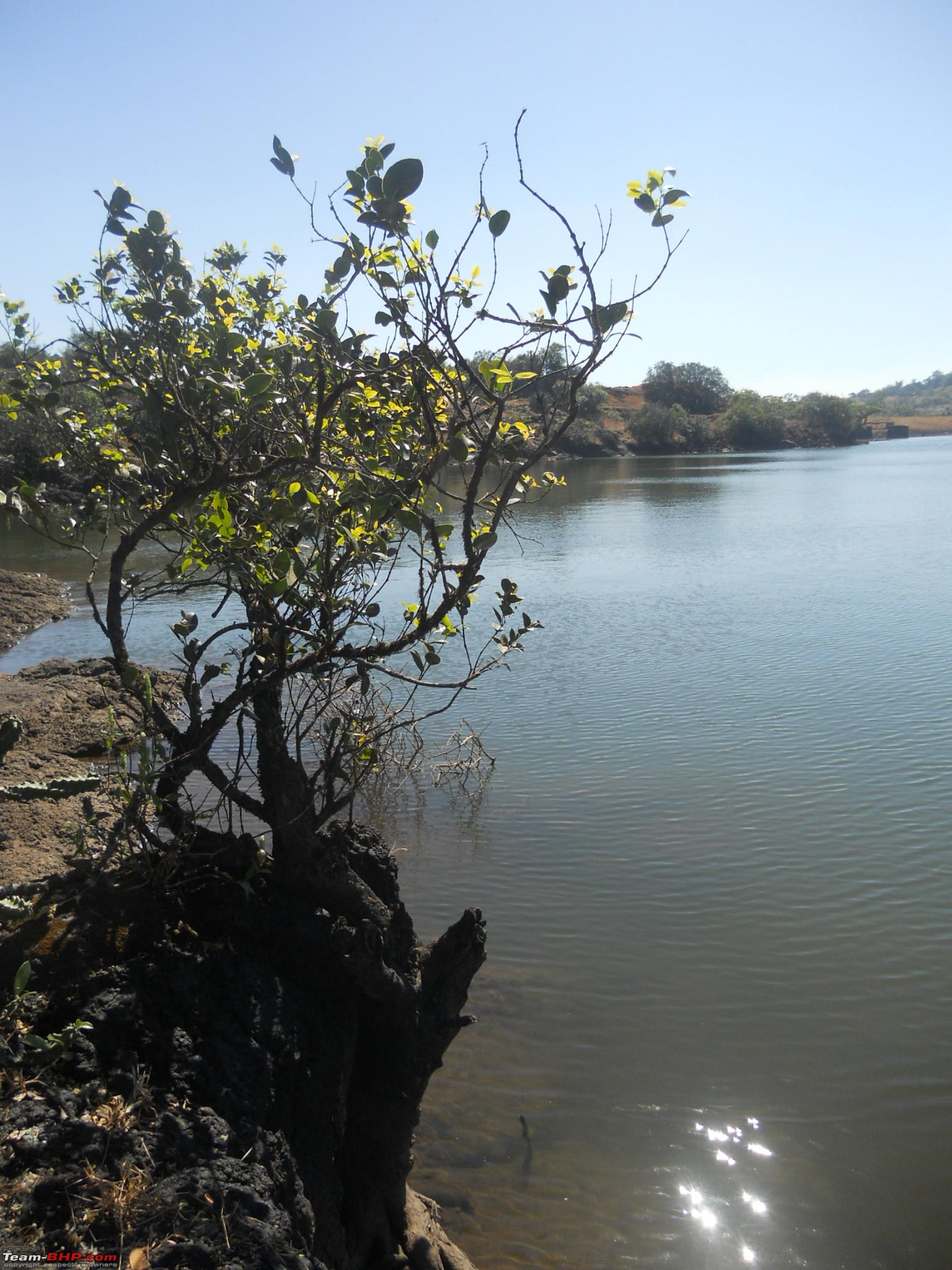
 The first sighting of the Kas lake as we were climbing downhill
 Another pit-stop at the Kas lake
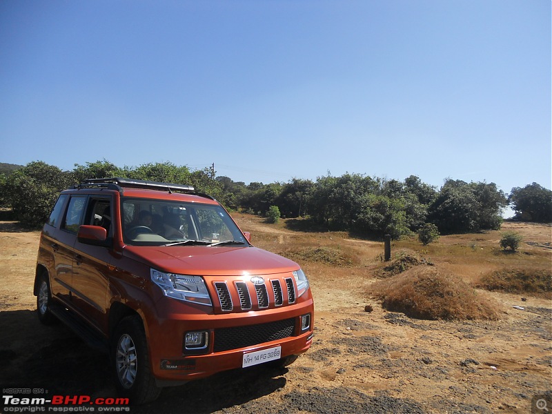
Kaas Plateau (Courtesy Wikipedia & this link --->
http://www.kaasresort.com/around_us.html)
KAS LAKE
Kas Lake is a man-made lake and is the main drinking source to the city. The lake is surrounded by lush green trees. During the rainy season Lake becomes a visual treat as the clouds settle on the water giving you the heaven like experience.Kas Lake ls on a distance of 23 km from Satara city. While going to this lake you will have a beautiful nature around you. Total road of 22km is hilly, going from Kaas Plateau which is called as Maharashtra's Valley of Flowers. In monsoons, the climate here is at its best.
The Kaas Plateau, also known as the Kaas Pathar or Kas Sadas, is a plateau situated 25 kilometres west from Satara city in Maharashtra, India. It falls under the Sahyadri Sub Cluster of the Western Ghats, and it became a part of a UNESCO World Natural Heritage Site in 2012.
It is a biodiversity hotspot known for various types of seasonal wild flowers bloom and numerous species of endemic butterflies annually in the months of August and September. The plateau is situated at an altitude of 1200 metres and is approximately 10 square kilometers in area. Kaas has more than 850 different species of flowering plants of which 624 are listed on the IUCN Red List. These include orchids, shrubs such as the Karvy, and carnivorous plants such as Drosera Indica, Cynotis tuberosa, Murdannia lanuginosa, Ceropegia vincaefolia (local known as Kandilpushpa/Kandil kharchudi)
To control possible damage by tourists, the number of visitors to the plateau has been restricted to 3,000 per day. In September, some of the most common flowering plants are Eriocaulon manoharanii, Pogostemon deccanensis, Senecio grahamii, Impatiens oppositifolia and Dipcadi montanum.
The plateau experiences a natural cycle of extreme conditions, with wet water-logged cool monsoons, very dry barren hot summer (45 C) and dry winter (5 C). The soil is a thin layer on top of Deccan rock, with varying quality of nutrients. The annual cyclic ecosystem here, and nearby similar but smaller lateritic plateaus, has adapted to these conditions.
Kaas plateau is a plateau located around 25 km from Satara. There are two ways to reach Kaas. one the more direct way from Satara and another from Tapola via the link road connecting Mahabaleshwar and Panchgani to Kas Pathar. Kas plateau is 20 km away from Northern part of Koyana Sanctuary. The major portion of the plateau is reserve Forest. Kaas lake (built 100 years ago) is a perennial source of Water supply for western part of Satara city by gravity. The flora of Kaas are around the locality of that area. The plateau is largely formed of basalt which is directly exposed to atmosphere. The basalt rock is covered by a thin cover of soil formed due to erosion and has accumulated a layer of not more than an inch or so. This soil is neither black nor lateritic. At certain places water gets accumulated because of uneven surface. The plants growing on Kas plateau are typically of herbaceous nature of like grasses. The small shrubs and trees are located at the periphery of the plateau at Kaas plateau.
The various distances of Kas plateau are as follows:
From Satara - 25 km
From Pune - 125 km
From Mumbai - 280 km
From Kolhapur - 150 km
Bio-diversity on Kaas plateau
Kaas Plateau is rich in its Bio-diversity. Many species are observed on plateau which are new to the Botanical Science. Many of the endemic, endangered plants are found on Plateau. More than 850 species of flowering plants are reported on the plateau. 624 species have entered in the Red Data Book. Out of these 624 species, 39 are found only in Kaas Region.
Kaas lake is on the south of the Kaas Plateau and is surrounded by dense forest. It lies between Sajjangad fort and the Kanher Dam. Koyna project is around 30 km towards the south of Kaas Lake. Vajrai Waterfall is also near from Kaas which is one of the India's highest waterfall.
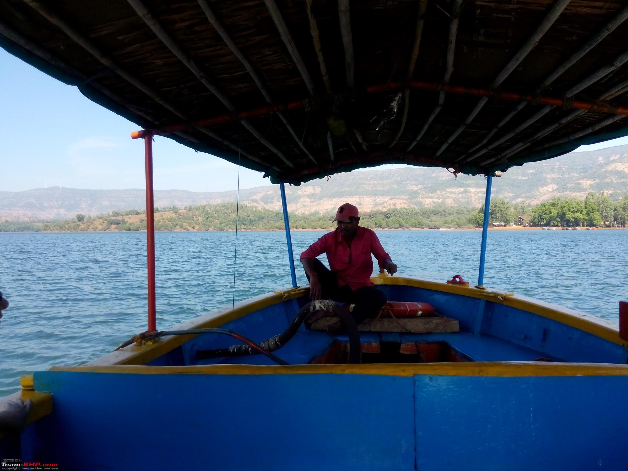
After spending about 30 mins at the lake we continued further journey. The road has many twisties beyond the Kas Lake. It is a short distance of around 13 kms to Bamnoli from Kas lake, but full of sharp curves and steep slopes. One has to drive very carefully and keeping in mind oncoming traffic at blind corners, you have to continuously blow your horn. We reached Bamnoli at 1:35 pm. Instead of having lunch we decided first to take a boat ride. Here we had the boat ride till Triveni Sangam (Rs 630/- for a family of 6) for around 50 minutes. Came back and had some good lunch.
Some info picked up from Wikipedia and other sites:
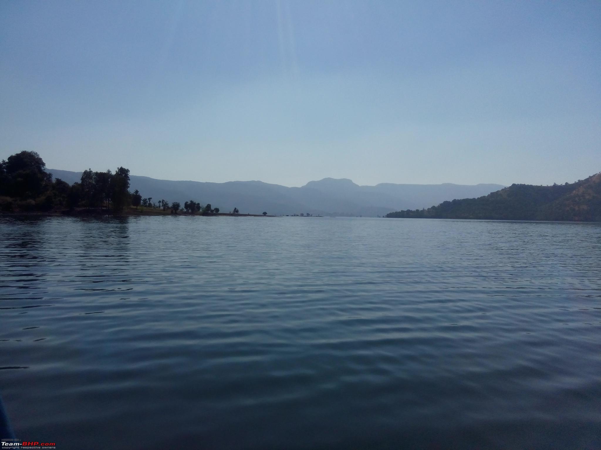
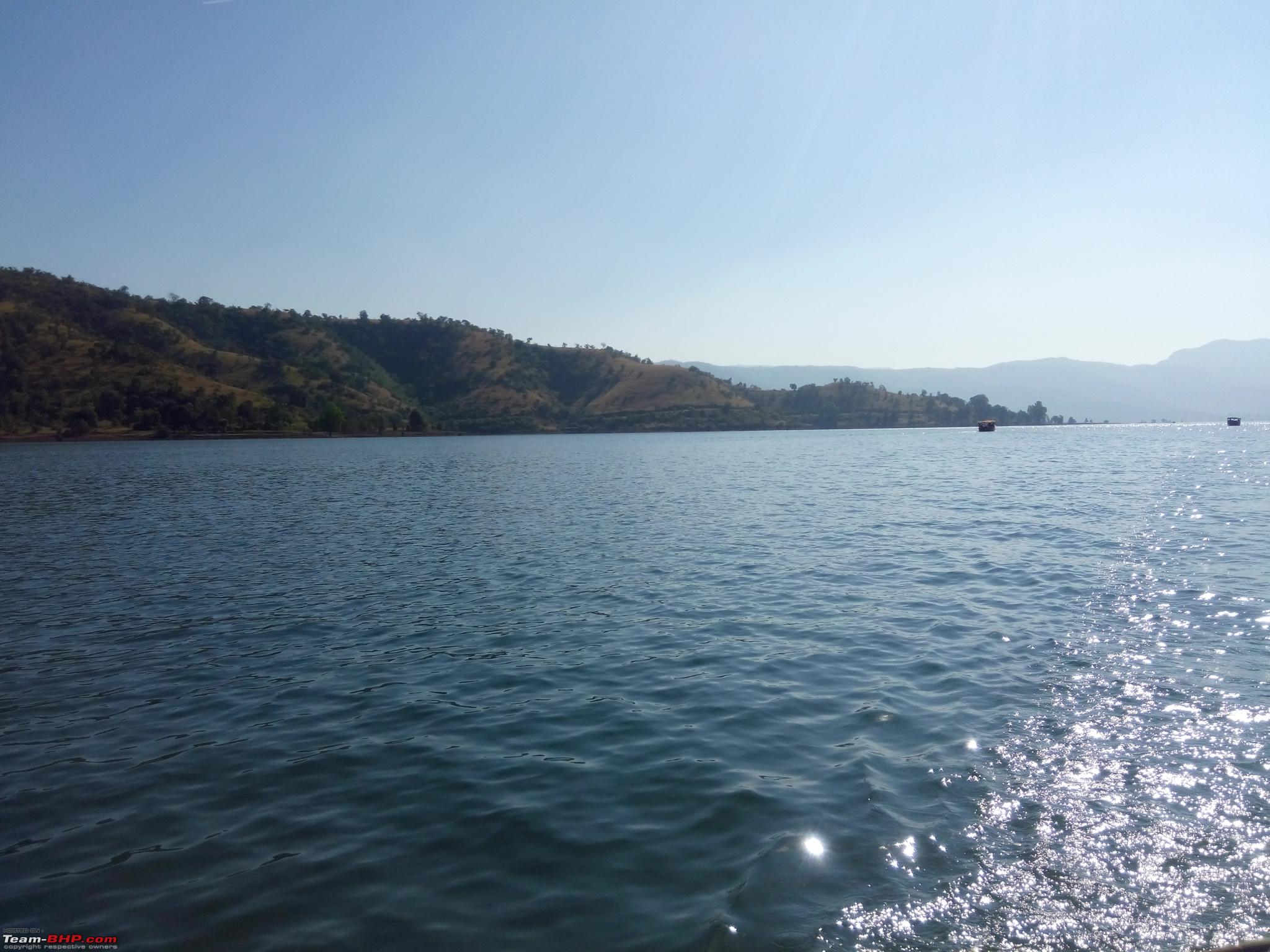
Shivsagar Lake Bamnoli: Shivsagar is the back water of Koyana dam. You can enjoy boating here with the breathtaking view of expanse of the lake that spreads for hundreds of square kilometers amazes you. The famous fort Vasota is situated near from Bamnoli. Bamnoli is situated 35 kms from Satara city. It is a very small villege. This village lies on the shore of Shivsagar lake formed by koyna dam lies the sleepy village of Bamnoli. The dense forest and the smartly shining roads washed under showers of rain make the drive enchanting. Throughout the ghat you get to see amazing view of backwaters below. Once you reach the village the breathtaking view of expanse of the lake that spreads for hundreds of square kilometers amazes you. Except of noise of hundreds of bats swinging on the high Nilgiri trees all you can hear is the few silent waves slapping on the shores. Shivsagar is the back water of Koyana dam. You can enjoy boating here. This place is Free from the city crowd, pollution and noise.
The local business of people is Boating and fishing. The famous fort Vasota is situated near from Bamnoli. You can go Vasota or Tapola through boat. The Tapola is also called as "mini Kashmir". It will take more than 1 hr. to reach Tapola. This place offers peaceful environment.
A boat ride deep inside the lake would do wonders if you have time. There are 2-3 eateries out here, you can order veg or non-veg thali (@ Rs 150/-). Bamnoli has a great potential of becoming a tourist destination. But sadly with that there is always of risk of being spoilt with litter and garbage. The road continues further to Tapola which is 30 Kms from Bamnoli. Bamnoli and Tapola both are situated around backwaters of Koyna Dam. Bamnoli is called- New Mahabaleshwar and in true sense you would fall in love with this fascinating place!
My Orange tank on the banks of Shivsagar lake, Bamnoli
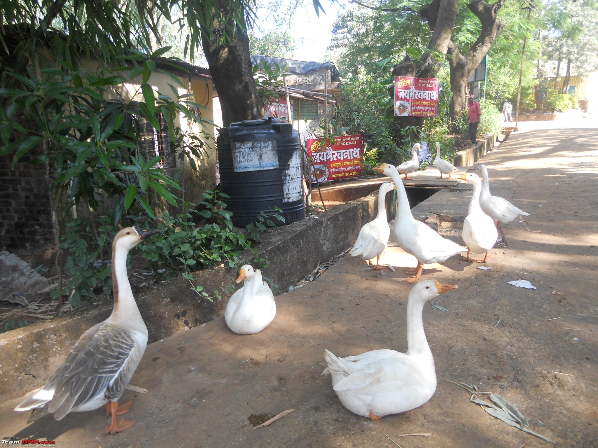
 A flock of ducks merrying around
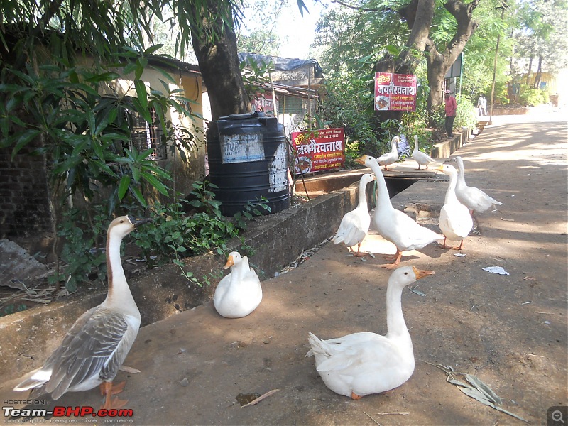 What is discipline learn from us
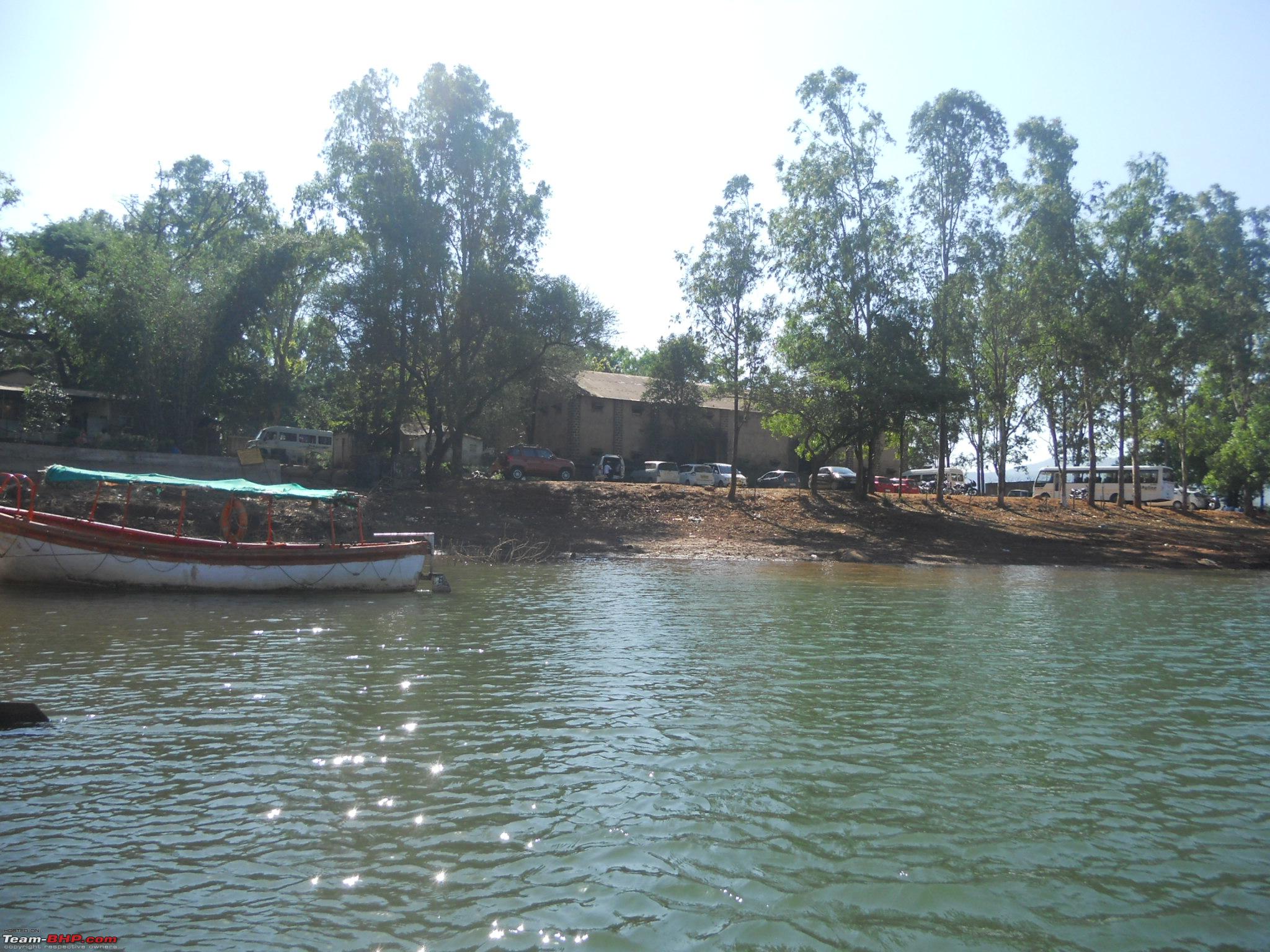
 Our boat ride started from here, seen in the background are tourists parking (fortunately no fees)
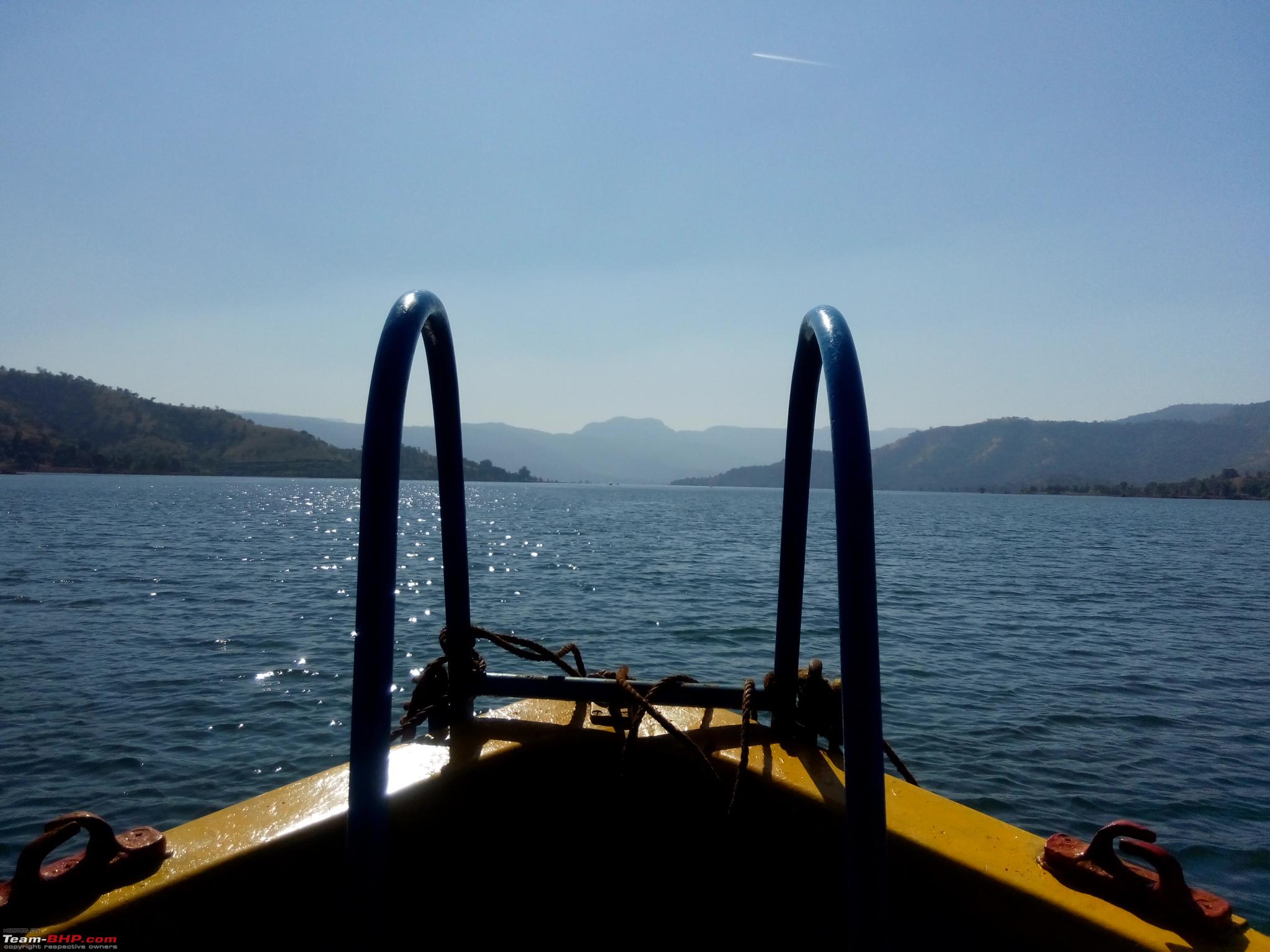
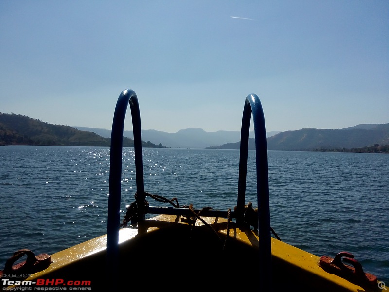
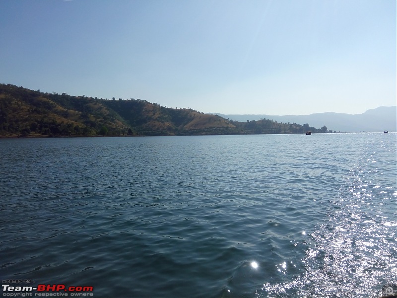
 The water, mountain and sky from boat's point of view
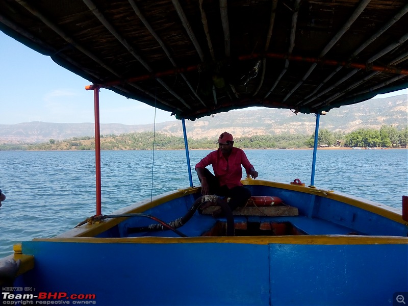
 Our guide cum boat driver
 Water is 150 feet deep at this spot
 The water trail left behind by the boat
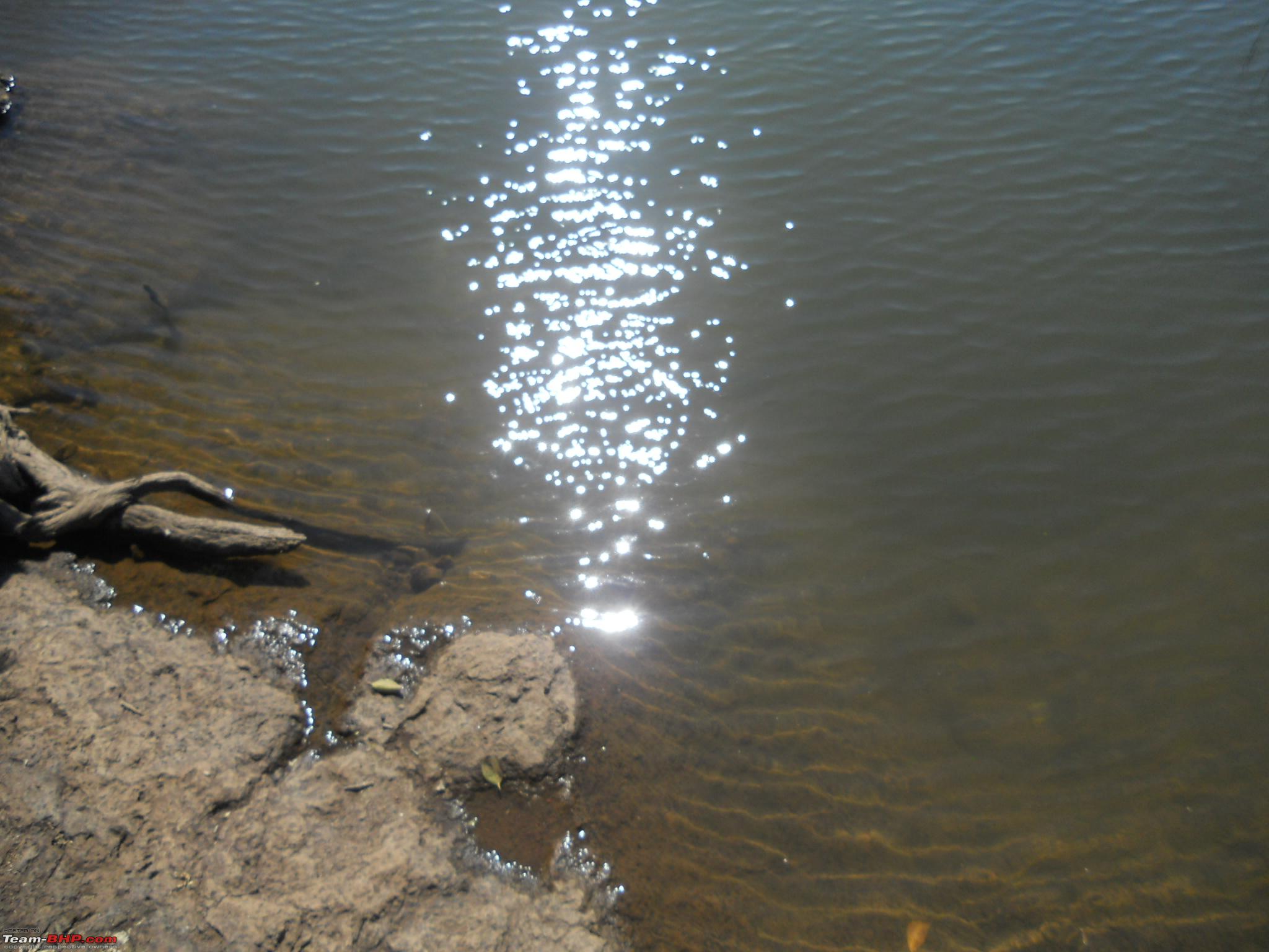
 Afternoon sun reflecting in water
 The boat parking
We started the return journey at 03:45 pm. Took another break of 30 mins at Kas Lake. Children had some fun time playing in the chilling water of the Kas lake. Stopped at Kailash Bhel just before Katraj bypass, had some chai and bhel and reached home safely at 08:40 pm.
Thus came an end to an eventful Sunday.
Thread moved to the Travelogues section : Thanks for sharing
I was really not aware of this place. Though I knew about Kaas lake but "Bara Motechi Vihir" was a new information.
Thanks a lot for the wonderful travelogue and very detailed information about the route and place. Nice pics. clap:
Tank also must have enjoyed the ride as it was its home ground.
Quote:
Originally Posted by CrazyToDrive
(Post 4103030)
I was really not aware of this place. Though I knew about Kaas lake but "Bara Motechi Vihir" was a new information.
Thanks a lot for the wonderful travelogue and very detailed information about the route and place. Nice pics. clap:
Tank also must have enjoyed the ride as it was its home ground.
|
This wonder of the 17th century is not well marketed, blame it on MTDC. Can you believe it, this historical monument (if I may call it so) doesn't even have a proper compound wall :Frustrati. Its only now that someone is trying to build it. My Orange Tank always enjoys such trips and it was no different during this trip. It has never let me down (touchwood) during such trips. Rather such trips help bring back the much required confidence in my tank. Wish I can keep doing such trips lol:
Dear Autoindian,
Wow! What fun!!
Coincidentally, on that day (i.e. 27 Nov 2016) I was travelling from Akola to Pune in my Scorpio AT. I did the first 250 odd km. My wife bullied me into letting her drive the rest of the way! :Frustrati - This was part of my Mumbai-Pune-Nagpur-Pune-Mumbai trip.
Anyway, I have to do a lot of writing - about my Scorpio ownership and even a few 400+ km trips.
I am going to send a link of this to my wife. If she likes it, then we might make a similar day trip. Thanks for introducing us to this nice place.
By the way, I found the location on Google Maps. It might have helped you too.
Regards,
Girish Mahajan
Quote:
Originally Posted by GKMahajan
(Post 4103195)
Dear Autoindian,
Wow! What fun!!
Coincidentally, on that day (i.e. 27 Nov 2016) I was travelling from Akola to Pune in my Scorpio AT. I did the first 250 odd km. My wife bullied me into letting her drive the rest of the way! :Frustrati - This was part of my Mumbai-Pune-Nagpur-Pune-Mumbai trip.
Anyway, I have to do a lot of writing - about my Scorpio ownership and even a few 400+ km trips.
|
Please do come up with your ownership report and travelogues at the earliest. Eagerly waiting for them.
Quote:
I am going to send a link of this to my wife. If she likes it, then we might make a similar day trip. Thanks for introducing us to this nice place.
|
No doubt this is a lovely place and worth a visit
Quote:
By the way, I found the location on Google Maps. It might have helped you too. Regards, Girish Mahajan
|
Even I searched on Google maps first and could locate it over there. However these maps can be deceptive at times. Hence better to rely on local villagers for the exact directions. It is just 3.2 kms from the highway, whereas the map showed me a distance of about 10 kms. The below map, shows the exact route that we took. Once you cross the Gaurishankar Institute of Management Sciences and Engg Colleges (on right hand side), get down on the service road. Look out for the small road to left to the village called Nagewadi. Keep going straight until you come to Chaturbet. You get the one and only signboard (marked in red color on a tin shed), turn right from here. Keep going straight for 200 meters (on the left you have sugarcane fields and on right there is a dry canal. Then take a right, crossing the canal, keep going straight for another 200 mtrs. At a junction take left and within 50 meters you reach the destination.
I have marked the major milestones in the map below

| All times are GMT +5.5. The time now is 13:29. | |