Team-BHP
(
https://www.team-bhp.com/forum/)
-
Travelogues
(
https://www.team-bhp.com/forum/travelogues/)
Quote:
Originally Posted by pramod
(Post 2089147)
Addy,
Now that people wanna visit and stay at Kudremukh, i got to post these snaps. We had stayed at Bhagavathi Nature camp inside Kudremukh reserve an year back in Nov 2009. We were a group of 13 people and stayed in a Dormitory which had 15 beds. Reminds me of General ward in Saint Johns hospital.. kidding :). But thats the best way to have fun, in a place like this.
Accomodation details:
1. 2 bed room cottage - 2 nos
2. 15 bed dorm - 1 nos
3. Tents - may be 4 nos (the new tents were to arrive last winter, to replace the battered age old jamshedpur tents).
4. No food available. We need to get ration from Kudremukh or any other town and hand it over to them. And they would cook food for us.
But the weekend we were there, we had to compete with another group of 15 people from Karkala. So, the girls in our group ended up cooking curry and the official cook at the camp prepared chapathis. But it was so much fun doing a crude weekend like this.
Cautions:
1. Staying overnight here is not for family which is looking for a relaxed resort like feel. You would have to be wary of the numerous Indian Bisons around. There is no boundary to this camp. It extends into the forests.
There is a brilliant water stream running next to the camp. And its great fun taking bath in it. But none the less, you have 2 bathrooms and 2 toilets in the dormitory.
Cost is very very nominal. 110 Rs per head.
You could trek to the nearby Gangadikallu peak or Kurinjal peak (7 kms).
Location:
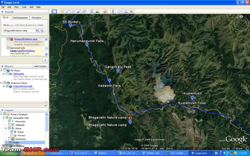
1. If u are driving from Samse to Kudremukh, you need to cross Kudremukh and continue further towards Karkala. On this stretch, say after 6 Kms, you could see the camp on the left side of the road. You wont miss it.
Activities:
1. Walk around the camp area. And trace Bisons. Pls dont get too near to them. They could charge. But we traced a group of 10 bisons, grazing at a distance. It was a hair rising experience.
2. Bathe in the stream
3. camp fire after dark
4. Drive on the Kudremukh highway for some wildlife sighting. How can you not do this :)
5. Early morning, wildlife sighting drive again.
So, you got to come here with your own vehicle.
Regards
Pramod
|
Hey Pramod, thanks for the review and the pictures. I wanted to ask you to post a review and you have read my mind:D. This will serve as a guide for travellers wanting to stay at Bhagavathi Nature Camp. This looks like an awesome place to stay going by your review.:)

Google Earth Location of the camp.
Amazing Pictures.Last time when i had been to Hornadu i did not take Kudremukh route to go to Sringeri, after seeing these wonderful pictures i regret my decision.:Frustrati
Kudremukh? My friend has an estate at Ballehonnur. We make a trip there every year. Kudremukh is pretty close.
We also drove from Ballehonnur to Dandeli forest via Agumbe-Honavar-Yellapur. Beautiful countryside.
Quote:
Originally Posted by maximus.
(Post 2091014)
Amazing Pictures.Last time when i had been to Hornadu i did not take Kudremukh route to go to Sringeri, after seeing these wonderful pictures i regret my decision.:Frustrati
|
Even the regular Hornadu-Sringeri route is beautiful, but this route has more open spaces for good views and most of these views are seen only on treks or when you go interior.:)
Quote:
Originally Posted by John
(Post 2091550)
Kudremukh? My friend has an estate at Ballehonnur. We make a trip there every year. Kudremukh is pretty close.
We also drove from Ballehonnur to Dandeli forest via Agumbe-Honavar-Yellapur. Beautiful countryside.
|
Yes, Balehonnur is approx 50-60 kms from Kudremukh.
Firstly, I would like to thank all of you who have viewed this travelogue and appreciated it. I hope I can live up to your expectations for the second part of this travelogue also. I know I have been late in completing this Travelogue or rather Trekkalog:). I had my mind set on numerous other things and I did not have the time and patience to finish this. Even now, I am yet to resize and sort out the photos. I will do that as I go along finishing this travelogue.
After we returned from the Kudremukh trek, it was quite some time before we went on a trek. We were longing to do a serious monsoon trek and somehow due to the delayed/weak monsoon, we could not achieve that. Even Kudremukh was supposed to be a monsoon trek, but unluckily for us, it did not rain for the whole duration of the trip. We i.e. me, Jeevesh (optimystic01) and Vivek - the core guys of our trek team, were longing to do one more trek before the monsoon ends to fulfill our desire to do a monsoon trek.
We began shortlisting probable dates and locations and finally selected the first weekend of september for the trek, almost 2 months after the Kudremukh trek. The monsoon had picked up and we sure of doing the trek in the rain. For the location we had selected the route from Kaginahare to Bisle ghat. Those who have read my previous travelogues might remember Kaginahare. This route passes through one of the densest forests in the western ghats and is infamous for trekkers getting lost and getting killed. Again from Bisle ghat, we wanted to trek to Kukke Subramanya. This plan was for 2 days. We did not have any guide to take with us. Then we contacted the forest department who advised us against trekking there during this time. The reasons given: Elephant menace, zero visibility, very very very heavy rain, landslides and flash floods.
We debated the reasons given by the officer. Rain and zero visibility was not going to be a problem (atleast we thought so). But, the elephants, landslides and flash floods were very valid reasons. The forest officer even informed us that their own staff (watchers, guards) were not venturing into the forests due to these problems. Apparently, he even has complained to his higher officers that elephants are not allowing the staff to patrol the forest and do their duties.
We guys discussed and with a heavy heart, let go of the plan. Time to find an alternate location. Again drew out a list of probable locations and then finally decided that we will complete a trek which we could not complete last year. We decided that we will do the Mullayanagiri-Bababudangiri-Kemmangundi trek.
In August 2009, we had planned to do the same route. Due to certain reasons, we could only do the trek upto Bababudangiri and came back to Chikmagalur. This time, we were determined to do the whole trek.
So, Mullayanagiri it was!!! For those of you who don't know, Mullayanagiri is the tallest peak in Karnataka. Check out the links for more info.
Mullayanagiri - Wikipedia, the free encyclopedia Baba Budangiri - Wikipedia, the free encyclopedia Kemmangundi - Wikipedia, the free encyclopedia
We got the weather update from a friend and it was raining cats and dogs over there. Yippee!!! now we could do an full fledged monsoon trek. Everything was planned.
The plan - Leave to Chikmagalur on friday afternoon (sept 3), stay over in a lodge, catch some jeep or auto to the start point of the trek (there were no buses) next morning (sept 4), trek to Mullayanagiri and Bababudangiri, Stay at Galikere (4 kms from Bababudangiri) and trek to Kemmangundi the next day (sept 5).
I know this post is a bit boring with no pictures at all:D. Pictures and more info coming tomorrow morning. Stay tuned!!!
Addy - I am waiting for the Mullayyanagiri to BBB-Giri snaps where, you got to walk all along the high cliff, on the edge of the ghats, looking at the plains below!
BBB-Giri to Kemmannugundi is all about numerous Silver Oak trees. isnt it.
Quote:
Originally Posted by pramod
(Post 2121226)
Addy - I am waiting for the Mullayyanagiri to BBB-Giri snaps where, you got to walk all along the high cliff, on the edge of the ghats, looking at the plains below!
BBB-Giri to Kemmannugundi is all about numerous Silver Oak trees. isnt it.
|
Pictures coming right up. Mullayanagiri to Bababudangiri is one of the scariest treks I have done. Most of the trek is on a ridge where one slip could have sent you down crashing.:Shockked:
D-Day
Everything was set and all of us was ready to go. Tickets were booked on the 2.30 Volvo to Chikmagalur. As we were leaving Bangalore, the omens looked good as the skies opened up and started pouring. There was heavy rain upto Hassan and after Hassan, it was bone dry. There had been no rain for the past 2 days.
Uh oh!! There is no rain. This killed the very idea of a monsoon trek. We were dejected as we got down at Chikmagalur bus stand. We started searching for a place to stay the night and finally settled down in a broken down place. We went to a hotel nearby for a quick dinner and enquired about the rains with the hotel waiter. He said although it was not raining in Chikmagalur, the hills had been receiving good rains. This cheered us up a little and we went back to the lodge for a good night's sleep.
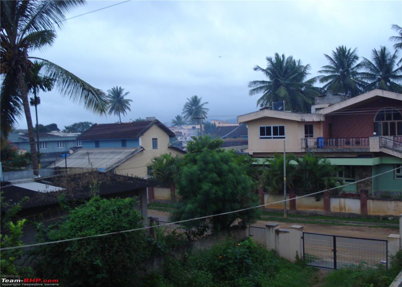
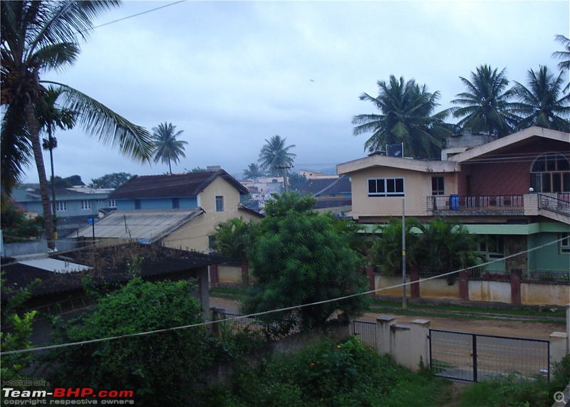
Early next morning (day 1 of our trek), we went to the bus stand to have breakfast and to catch the 7.30 bus to the trek start point. There was a slight drizzle and the weather was awesome.
Morning in Chikmagalur
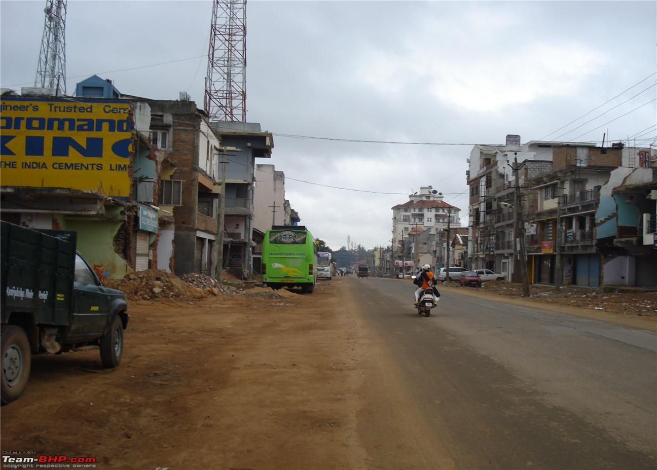
What I had forgotten was that I had read in the papers that the Chikmagalur-Kemmangundi road was blocked due to a major landslide and had been cleared only for LMV traffic. So, now there were no buses. We were contemplating hiring a jeep when suddenly a man said he will take us to 'Sarpadaari' - the starting point of our trek. He said that he will charge Rs.200 for the drop. Then we remembered our previous trek where we had paid Rs.250 for an autorickshaw for the same distance. This time we were going in a Maruti Omni.
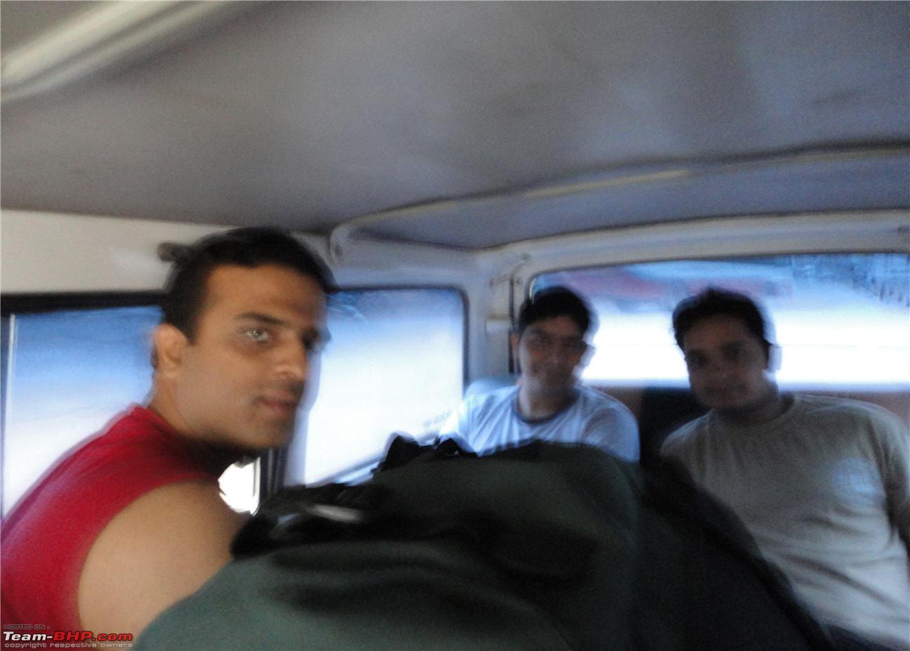
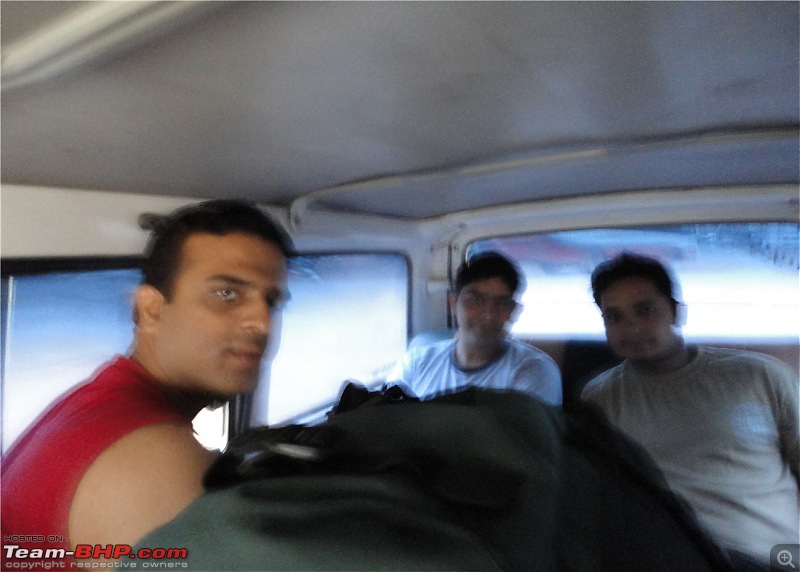
Inside the 8 seater Omni
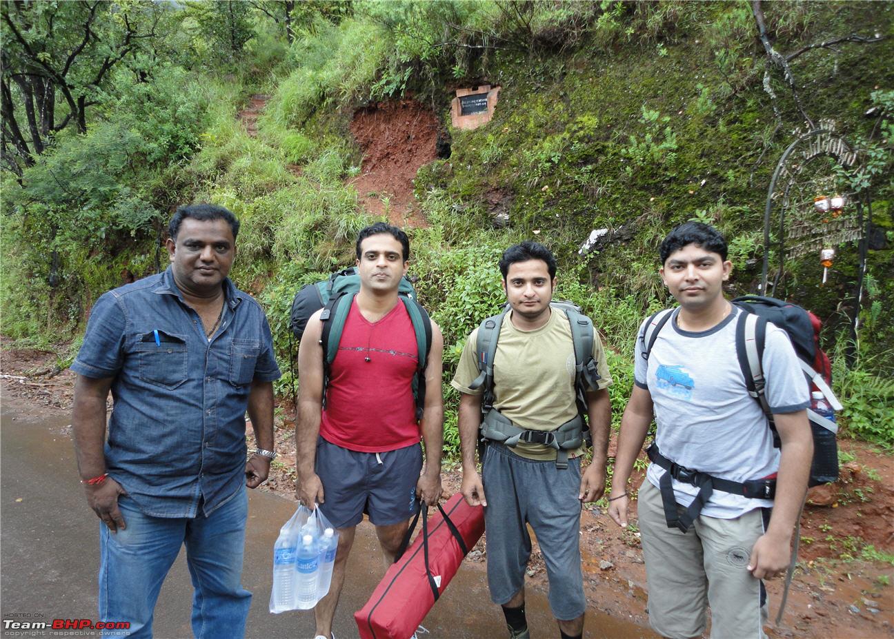
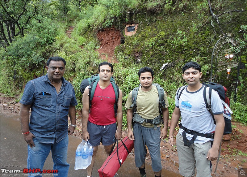
The driver then took us to 'Sarpadaari' (which means snake's path in Kannada) which was the starting point of our trek.
At Sarpadaari - the driver is on the extreme left
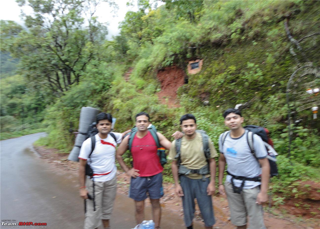
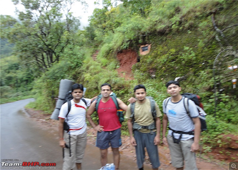
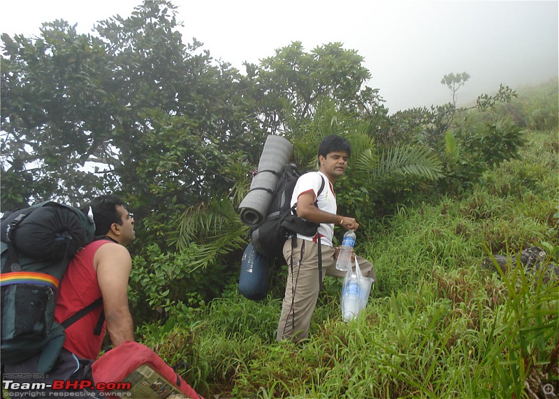
The trekkers!!! (Sorry for the pic quality)
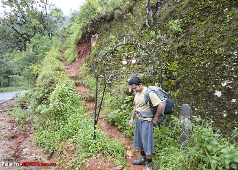
The arch is the start of the trail
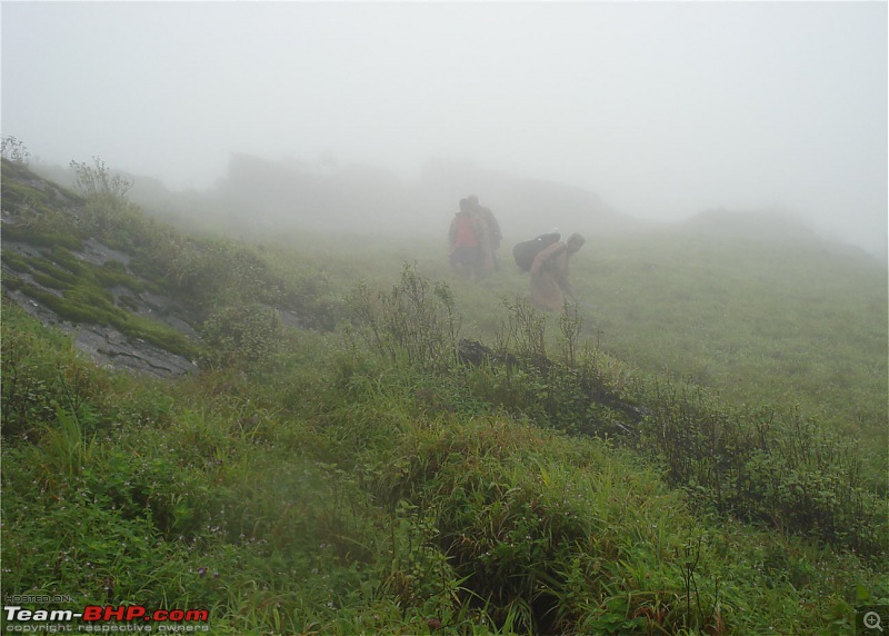
As we were starting, another group of about 10 people also arrived at the same time. We did not want people tailing us nor did we want to tail other people, so we quickly picked up pace.
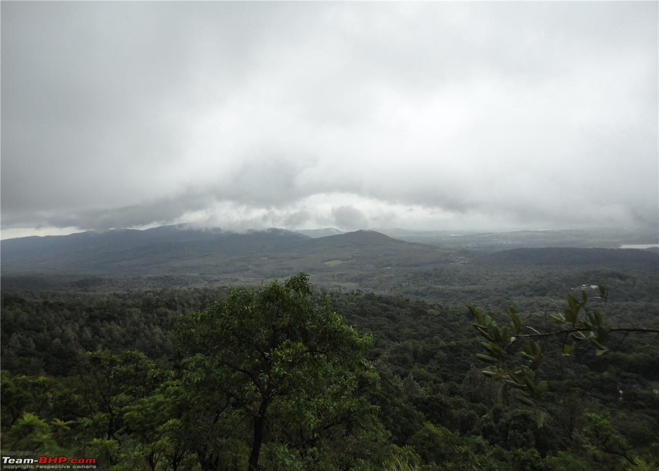
Views from the trail
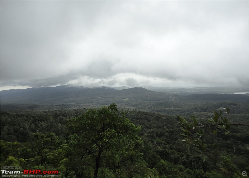
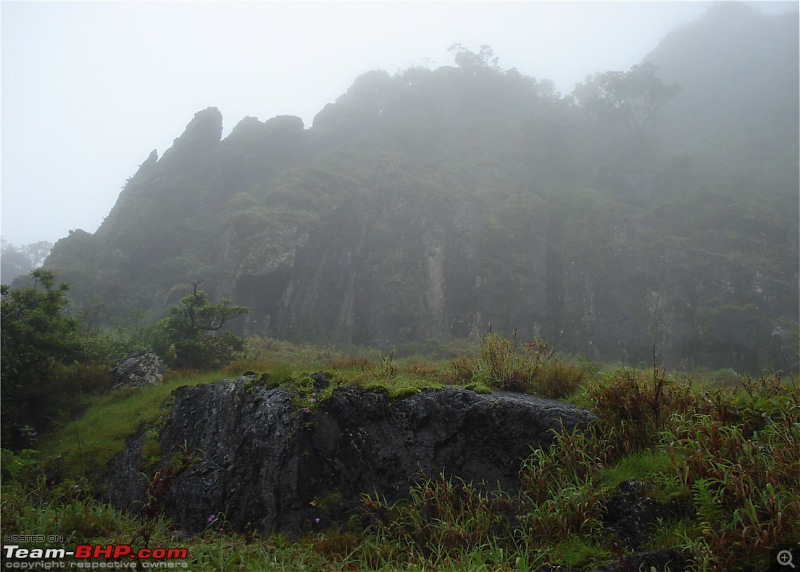
The trail gets steeper and steeper as we go up. Although Mullayanagiri is the tallest peak in Karnataka, the climb itself is not that tough. IIRC, we took only an hour or so to scale it. On the way, we encounter a huge rock face where it is a bit slippery and tricky to climb with a heavy load in your back.
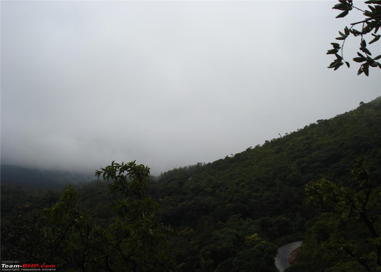
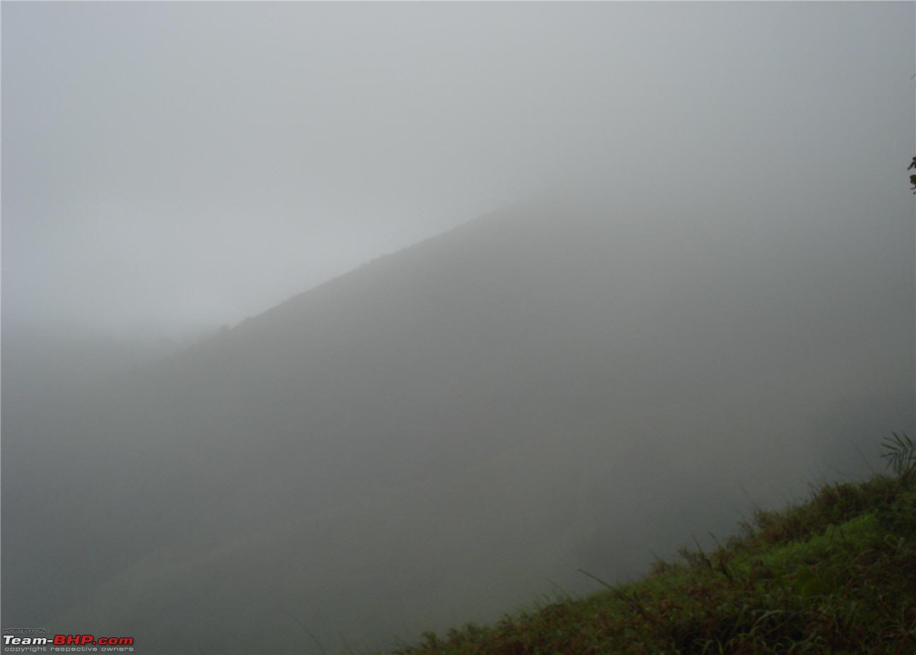
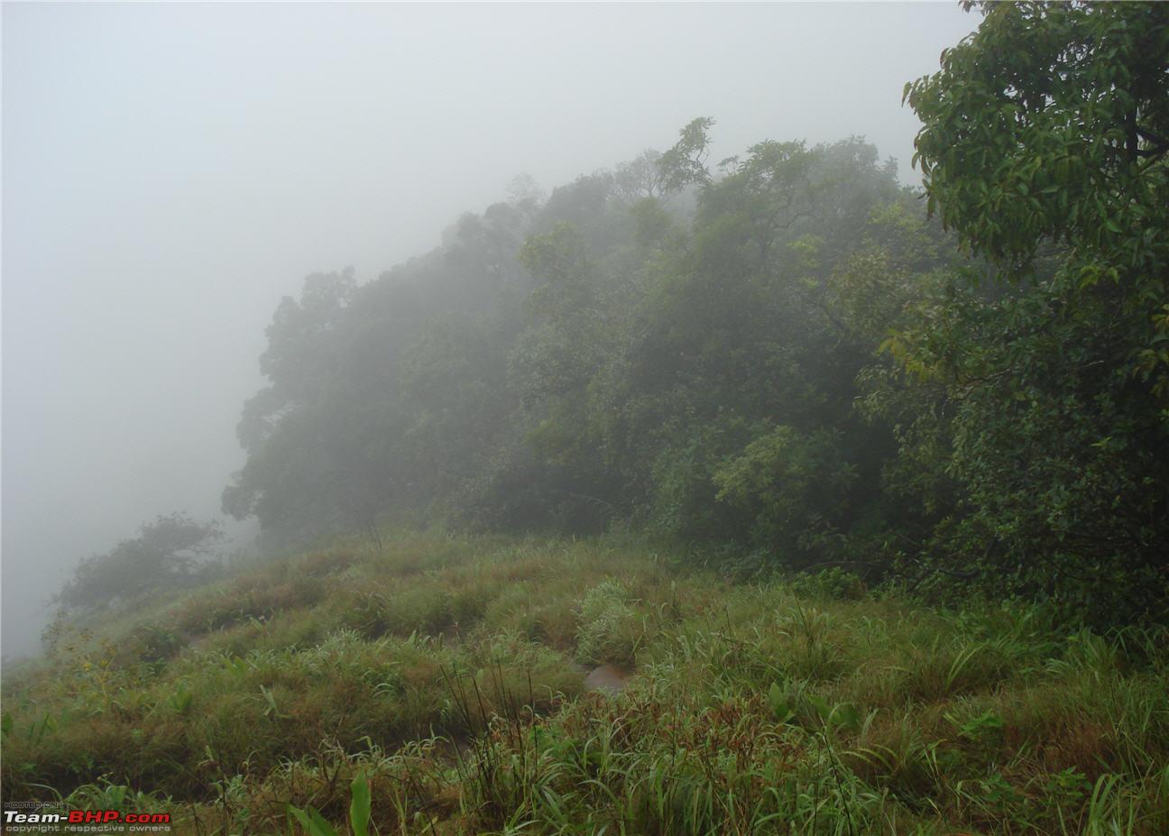
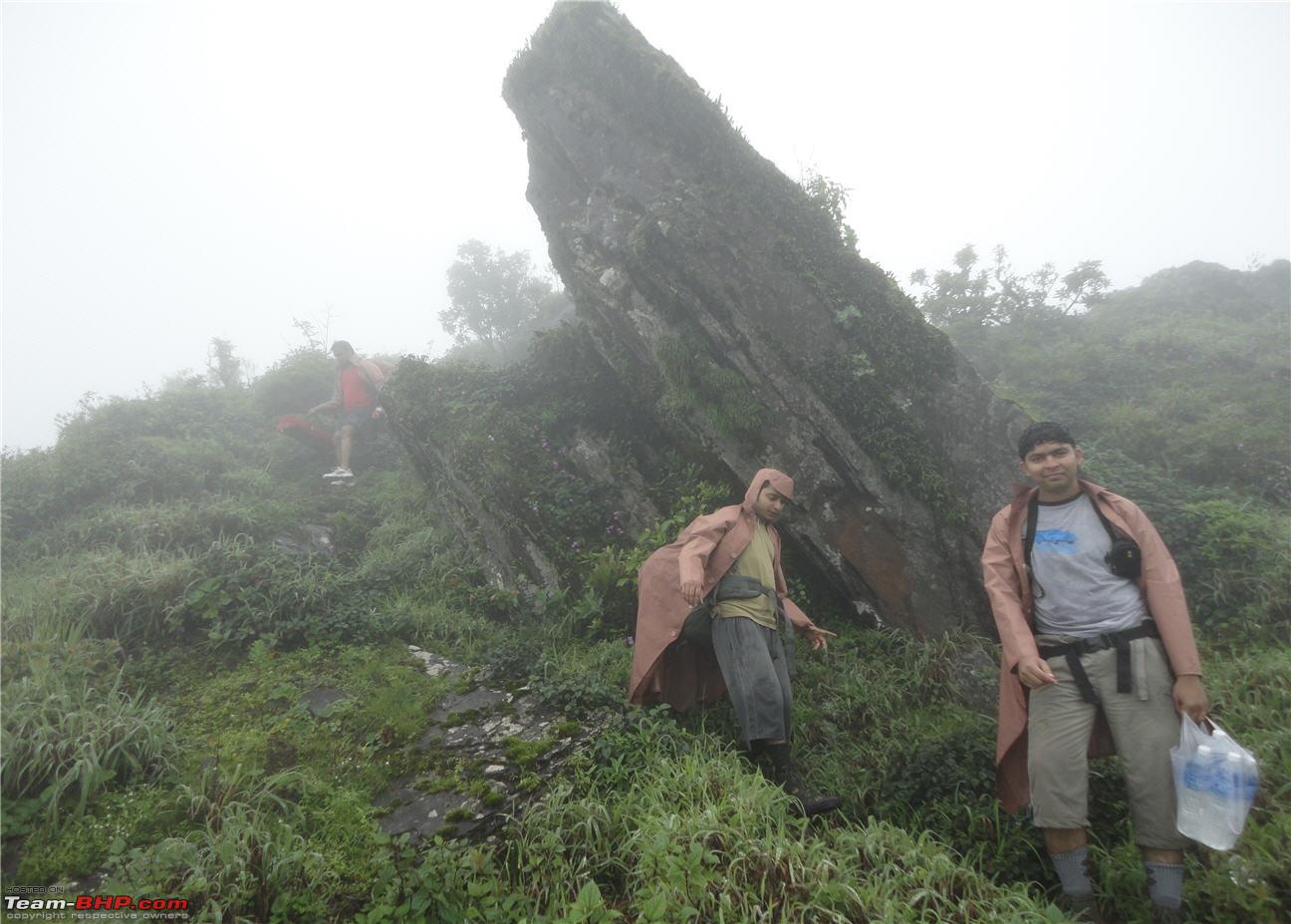
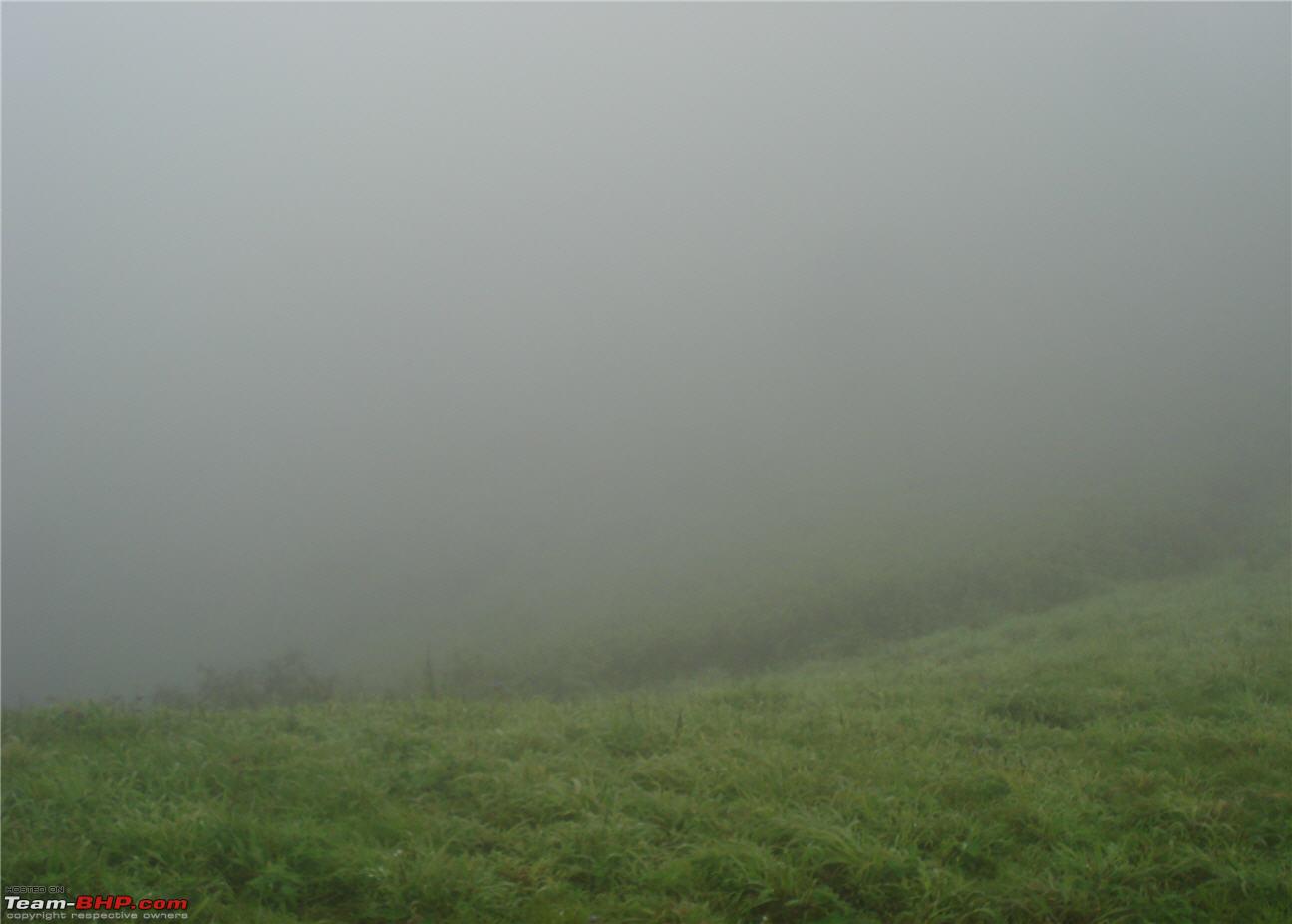
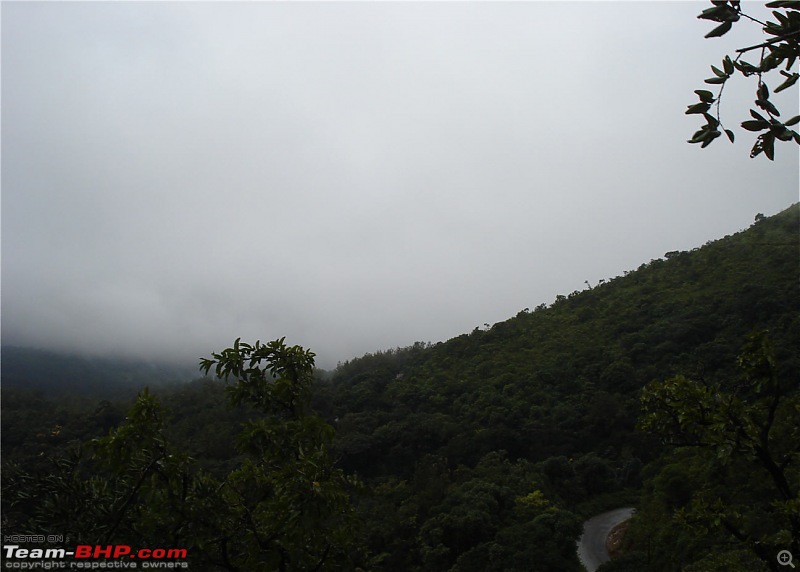
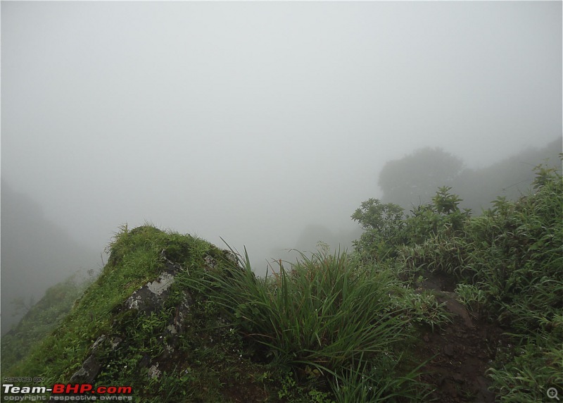
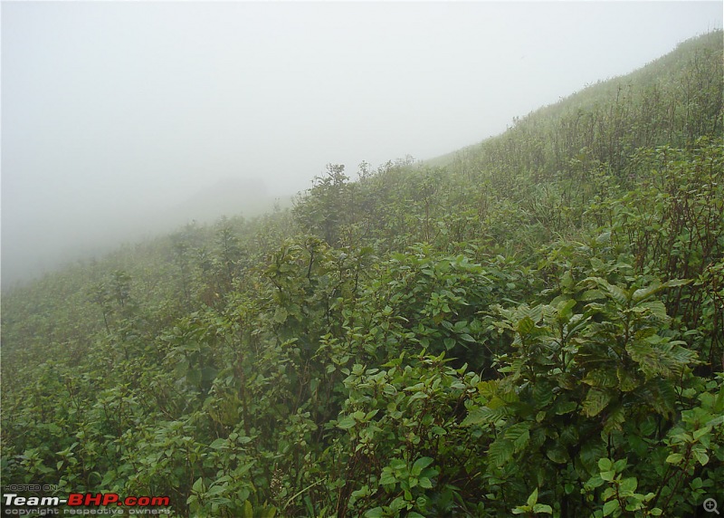
Very Misty
The huge rock face covered in mist
View opposite the rock
Ooh!! that is pretty steep
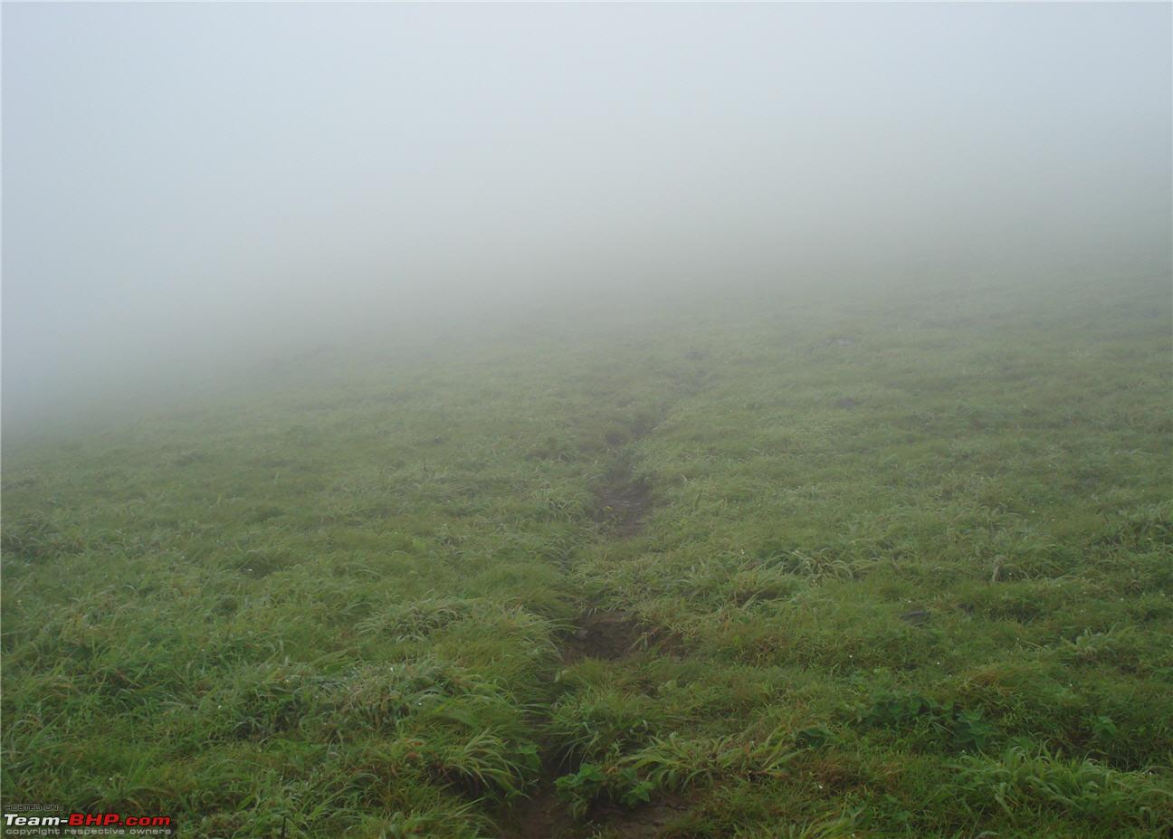
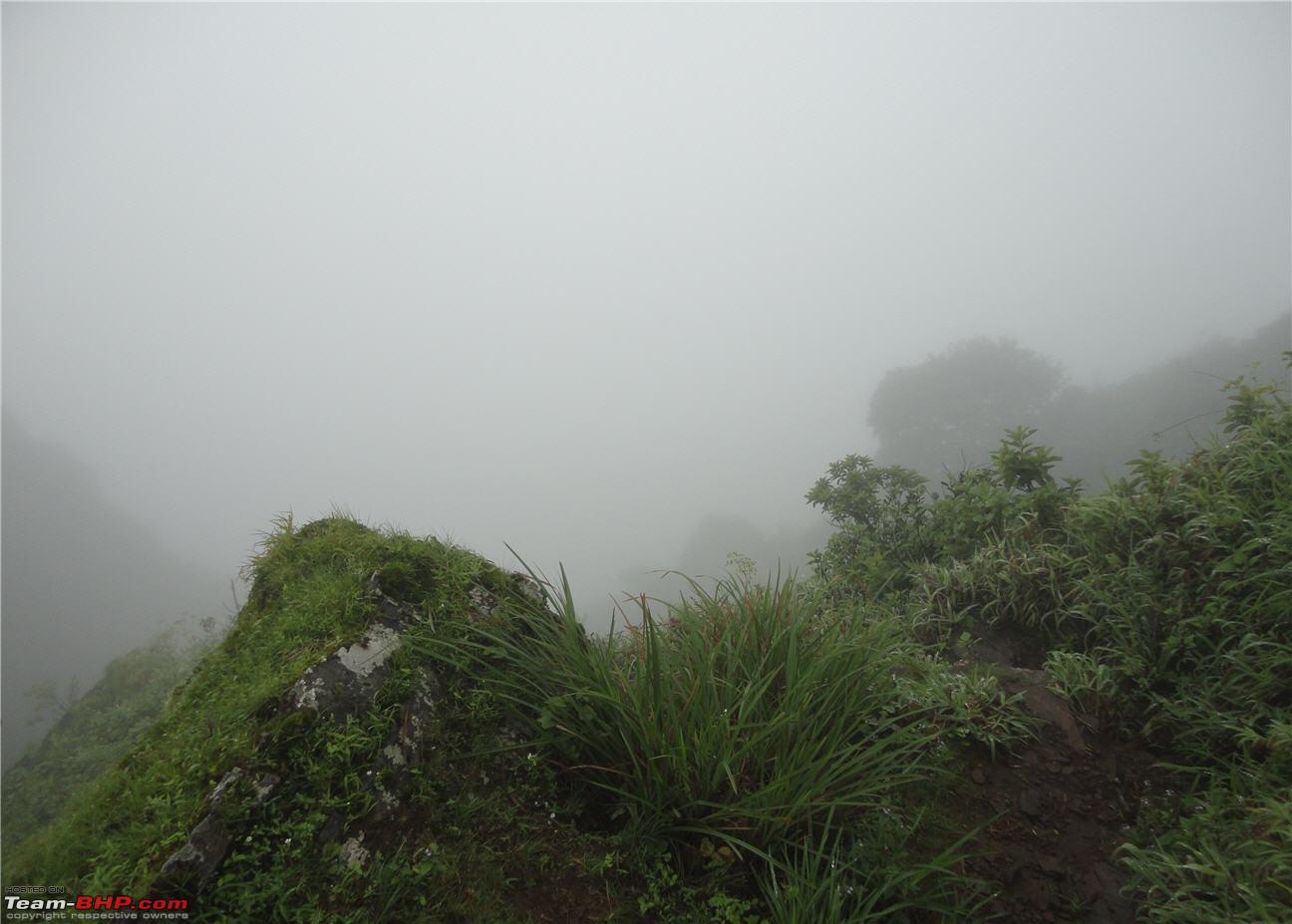
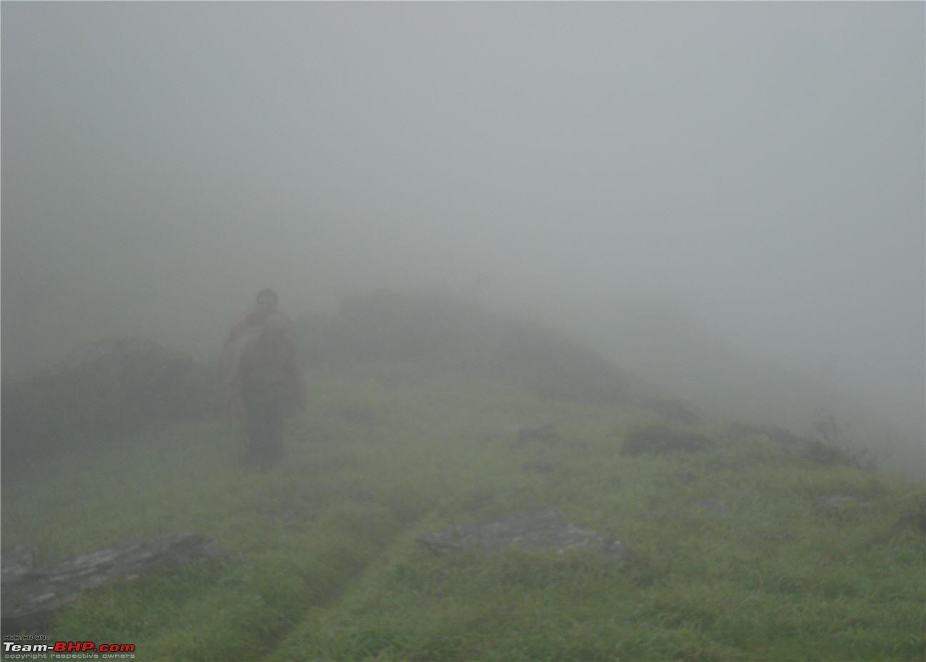
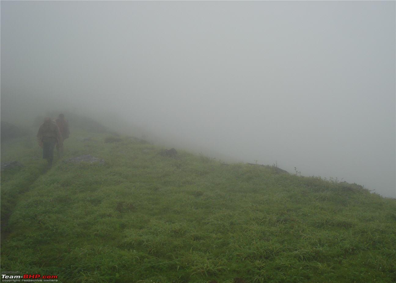
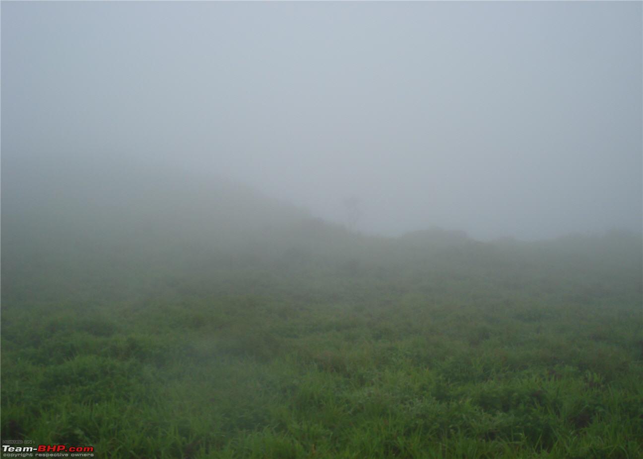
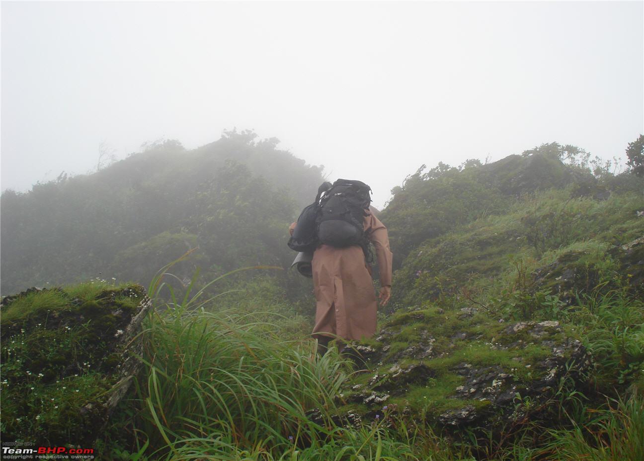
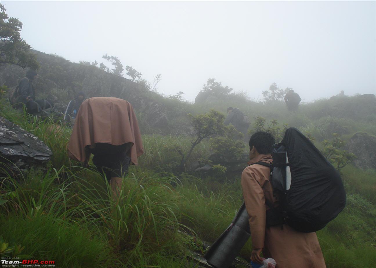
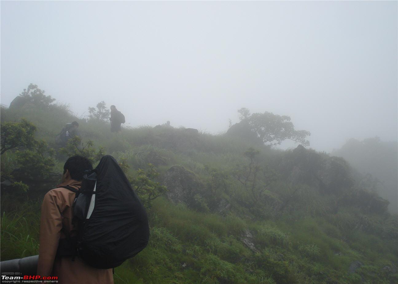
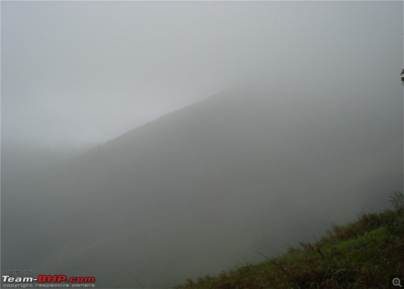
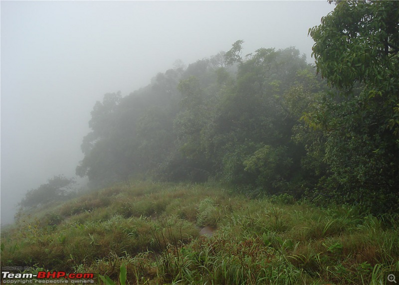
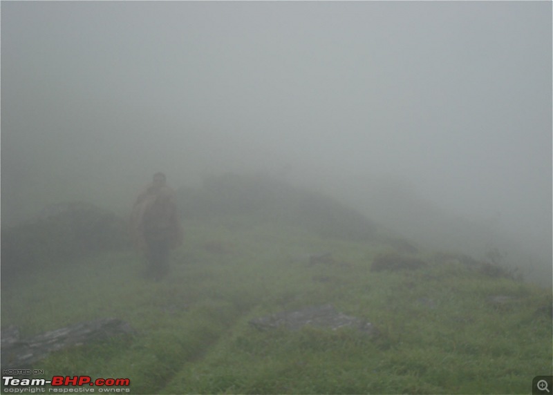
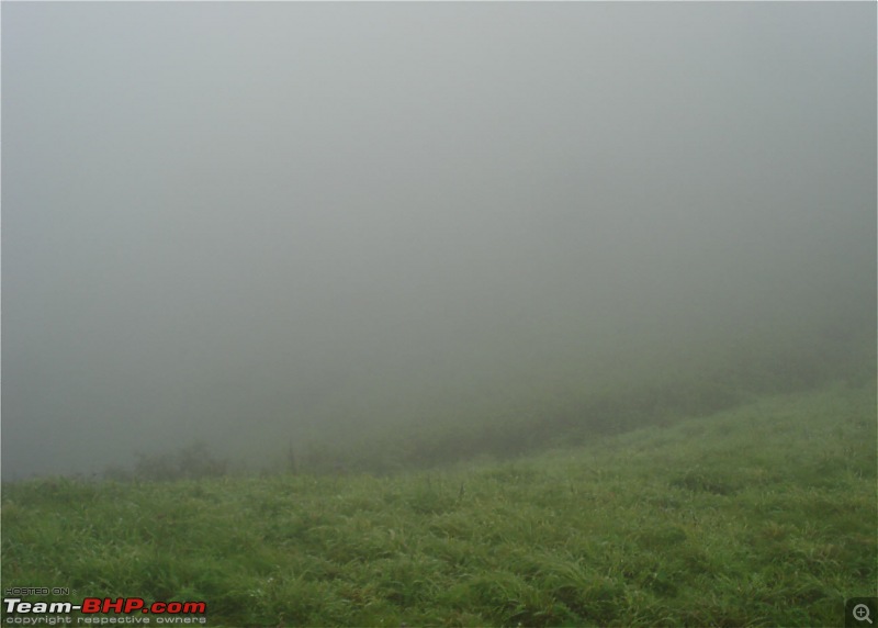
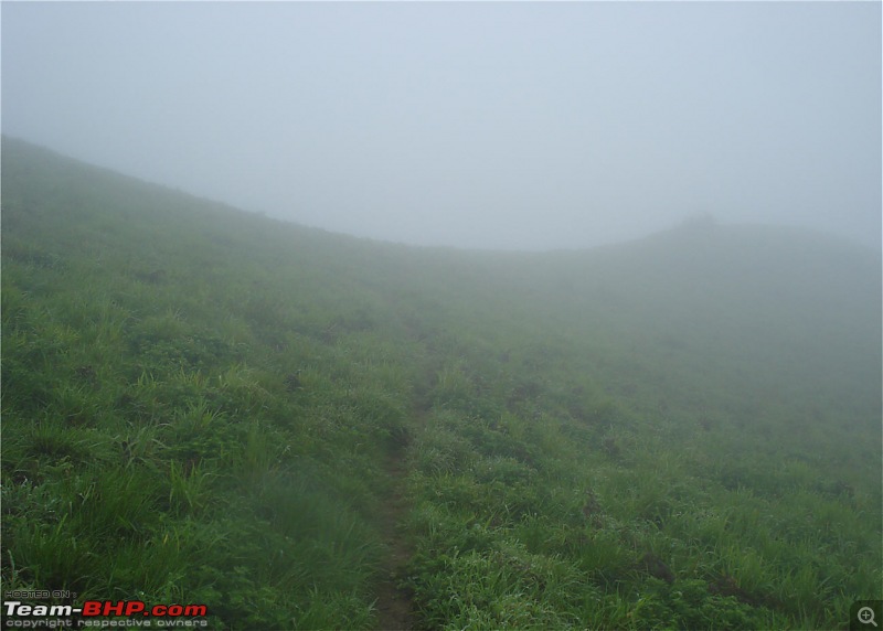
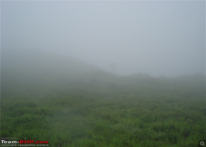
Mist mist and more mist. You guys are going to see a lot more of this
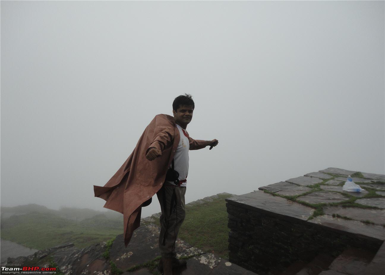
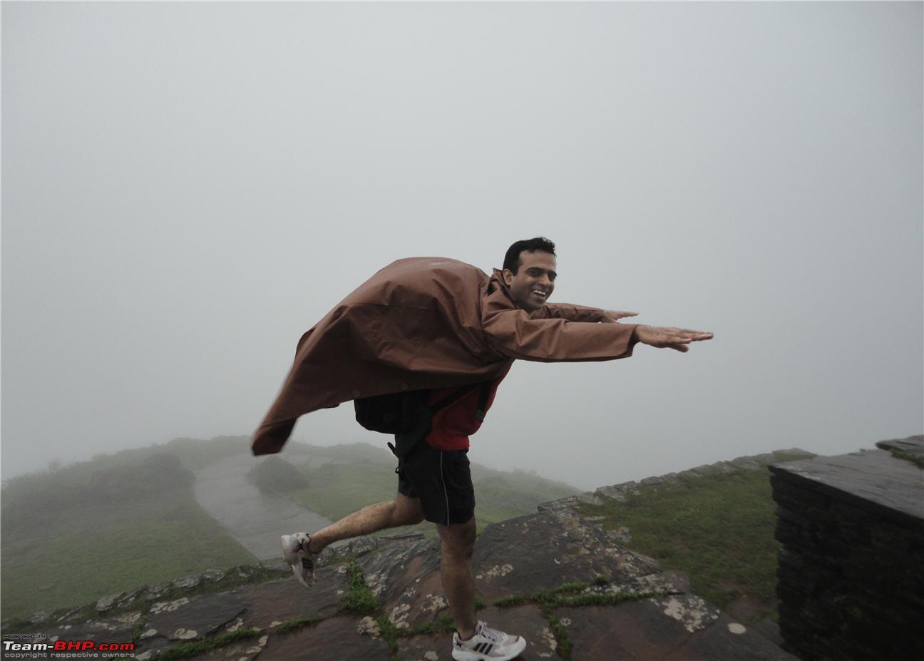
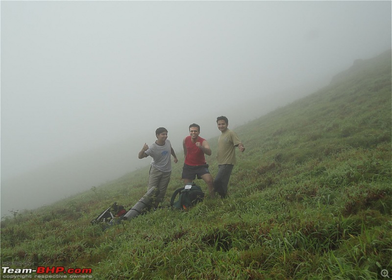
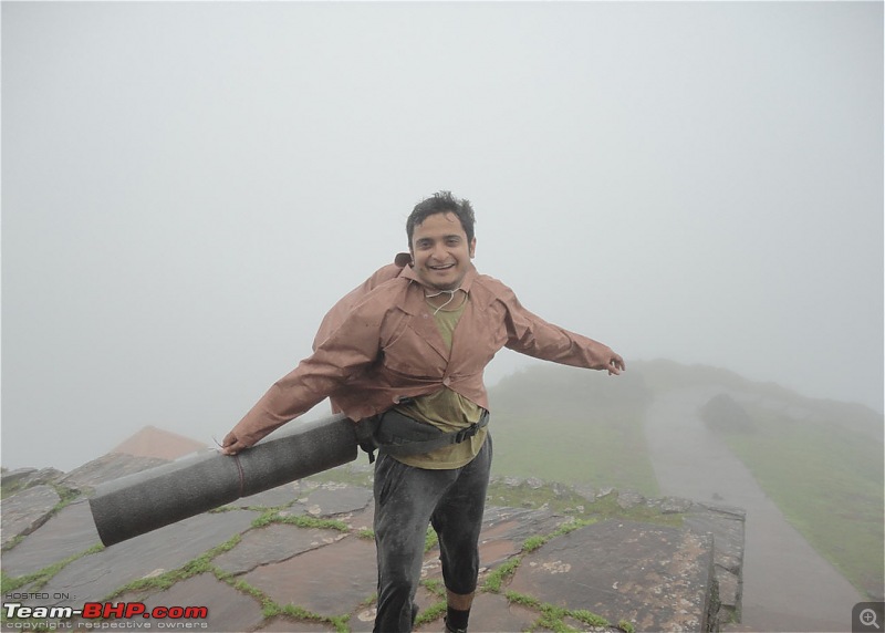
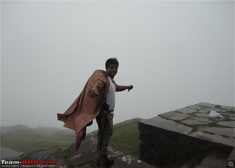
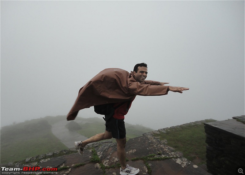
Giving weird poses:D
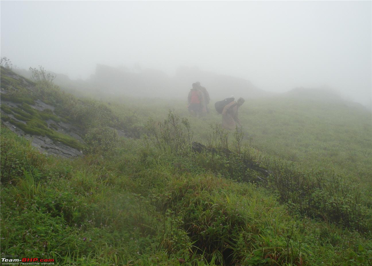
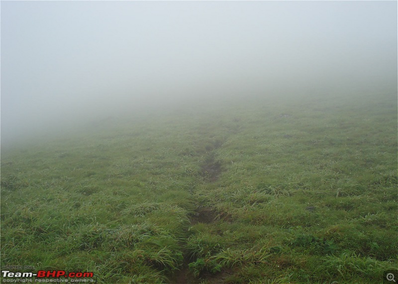
More mist - You can see the trail
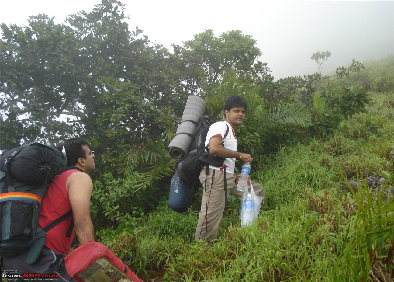
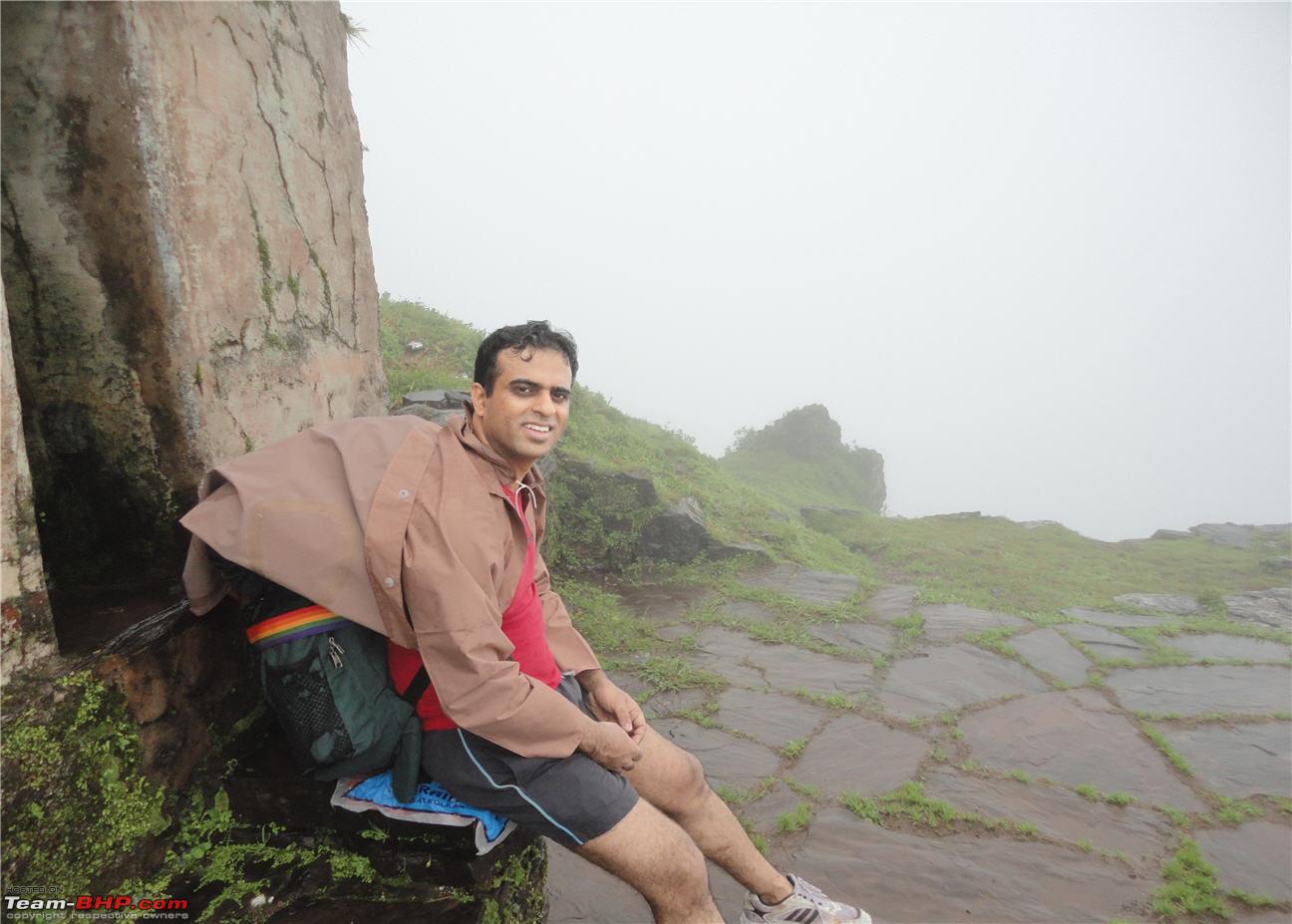
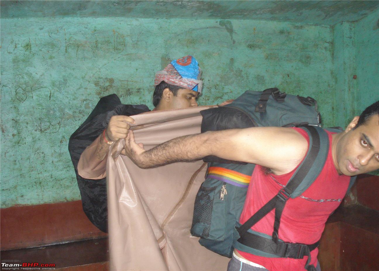
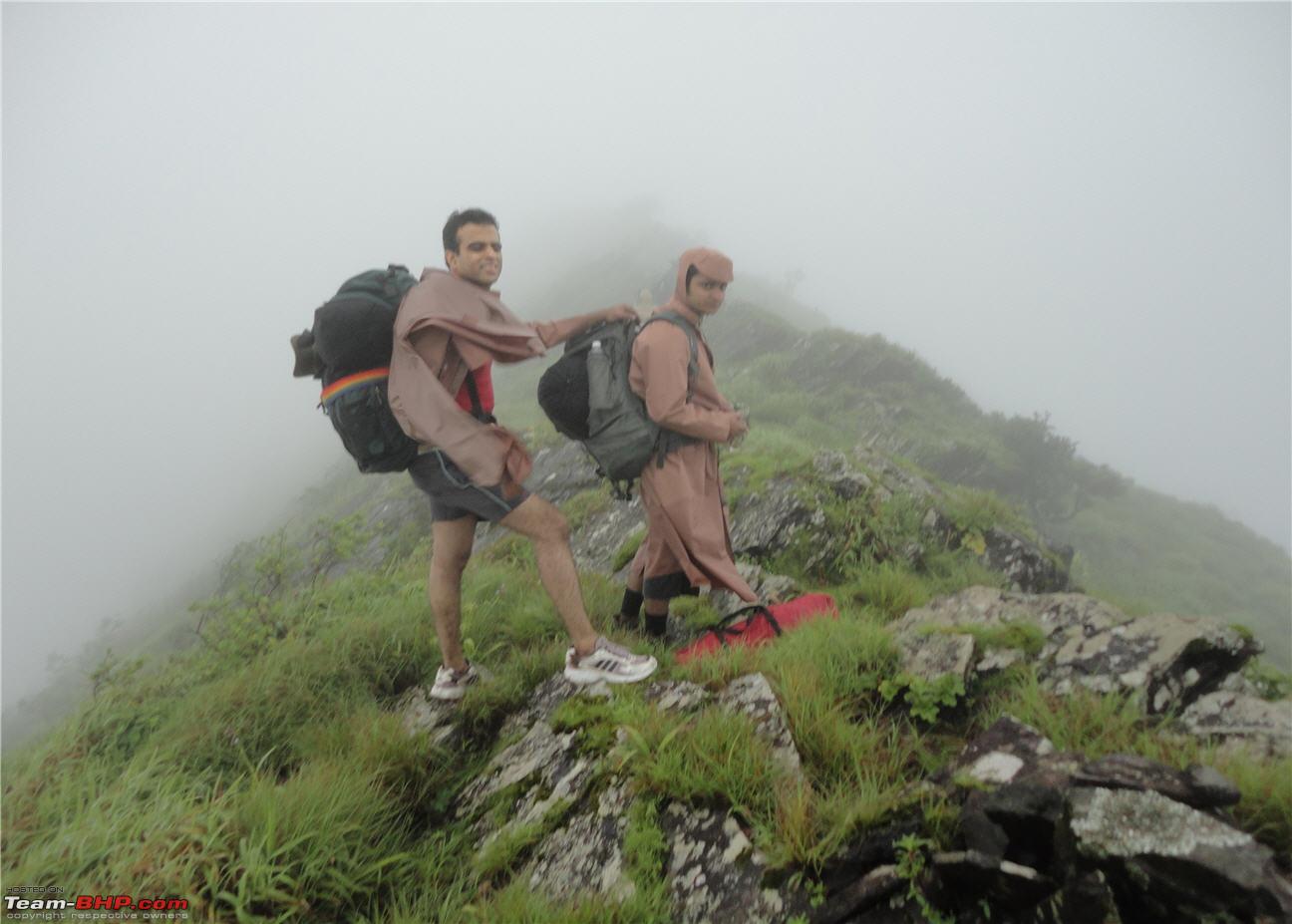
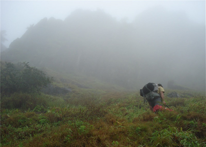
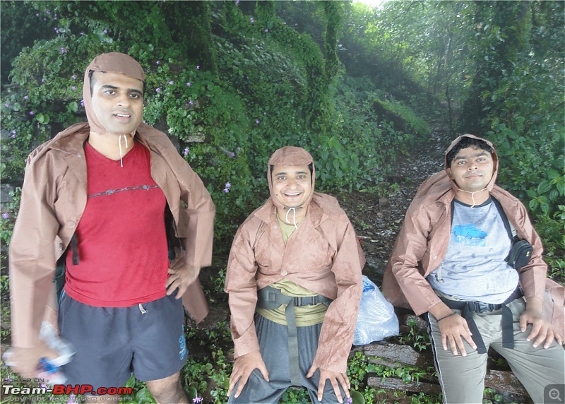
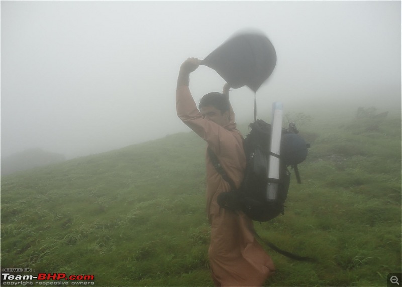
Just as we were making good pace, it started raining. All this time it was not raining and we never even thought about it until it started drizzling. We then took our raincoats out. Jeevesh had got these from the Army store in Shivajinagar and this was quite effective (although we did look ridiculous). It was very difficult putting on the raincoats over the backpacks and we had to help out each other. Then we trudged on until we reached our first landmark - the 'Nandi'. This is a very small idol of 'Nandi' the bull 10 minutes below the peak.
This was how ridiculous we looked!!!
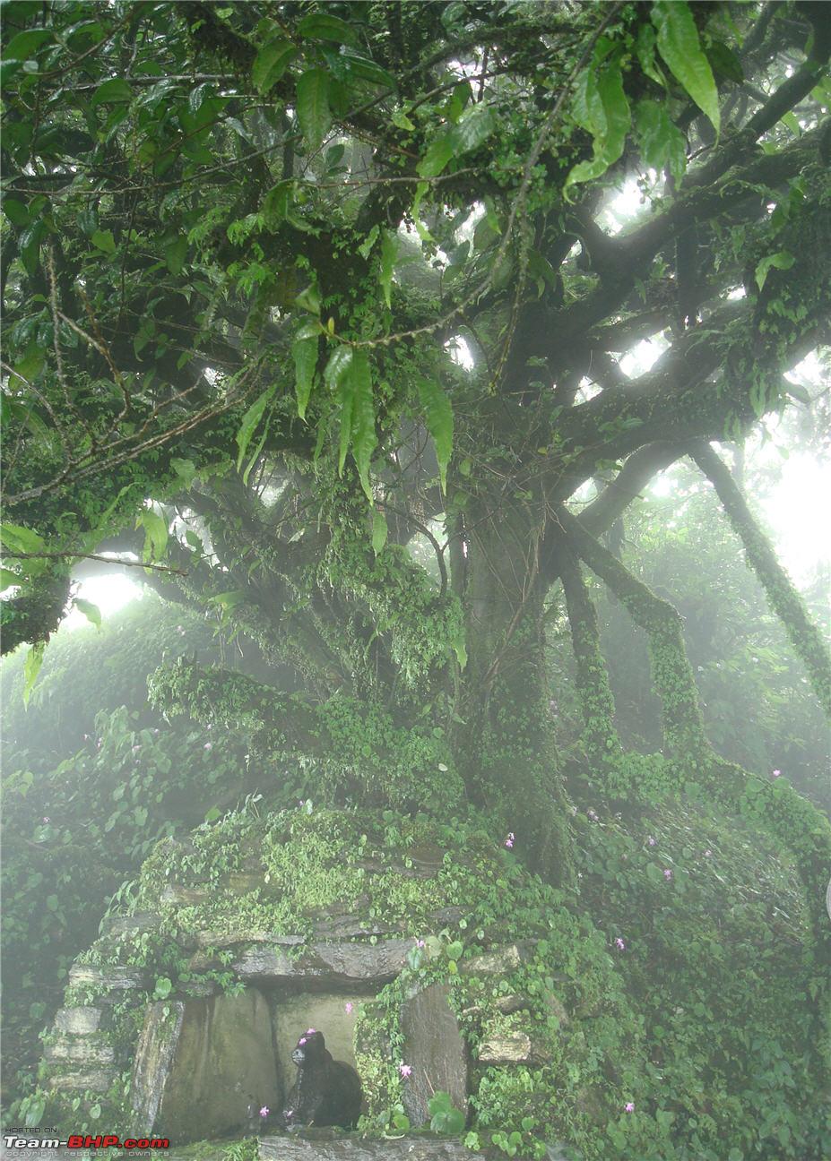
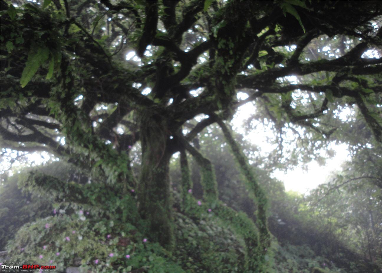
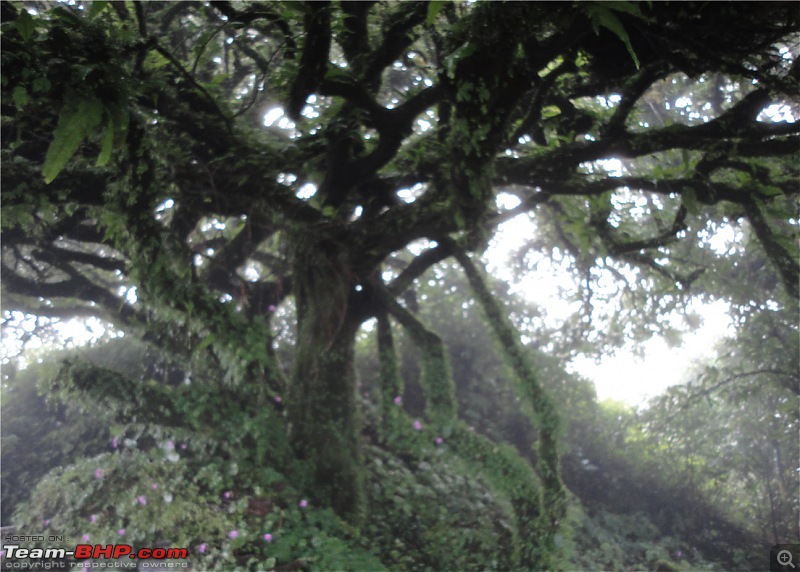
The tree behind the Nandi - looked eerie:eek:
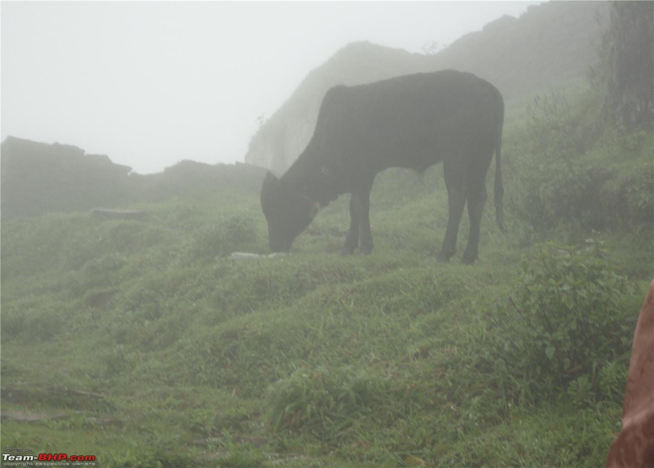
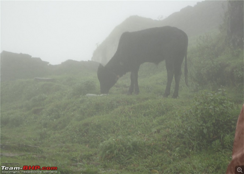
The first signs of 'hill top' life - This cow was grazing just outside the temple.
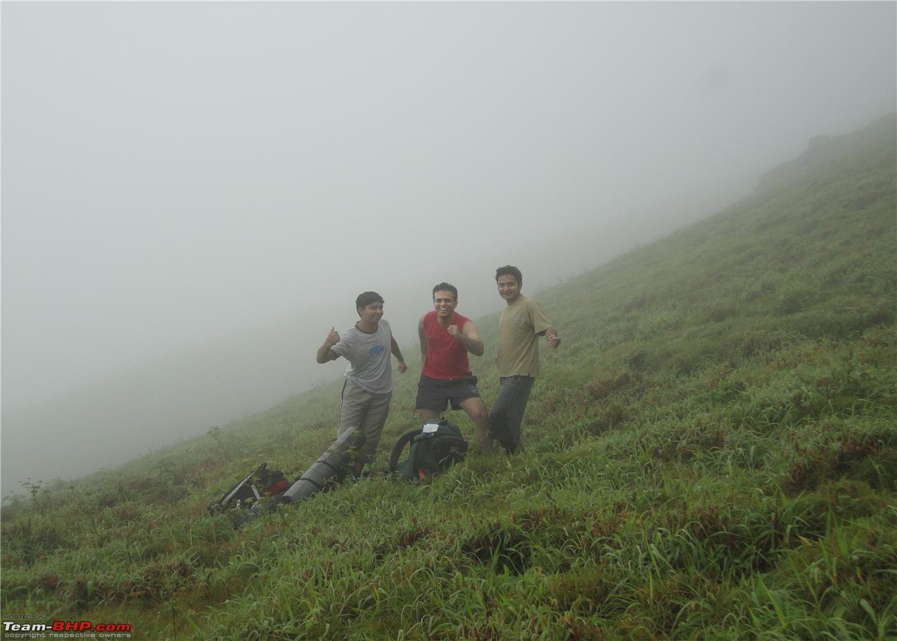
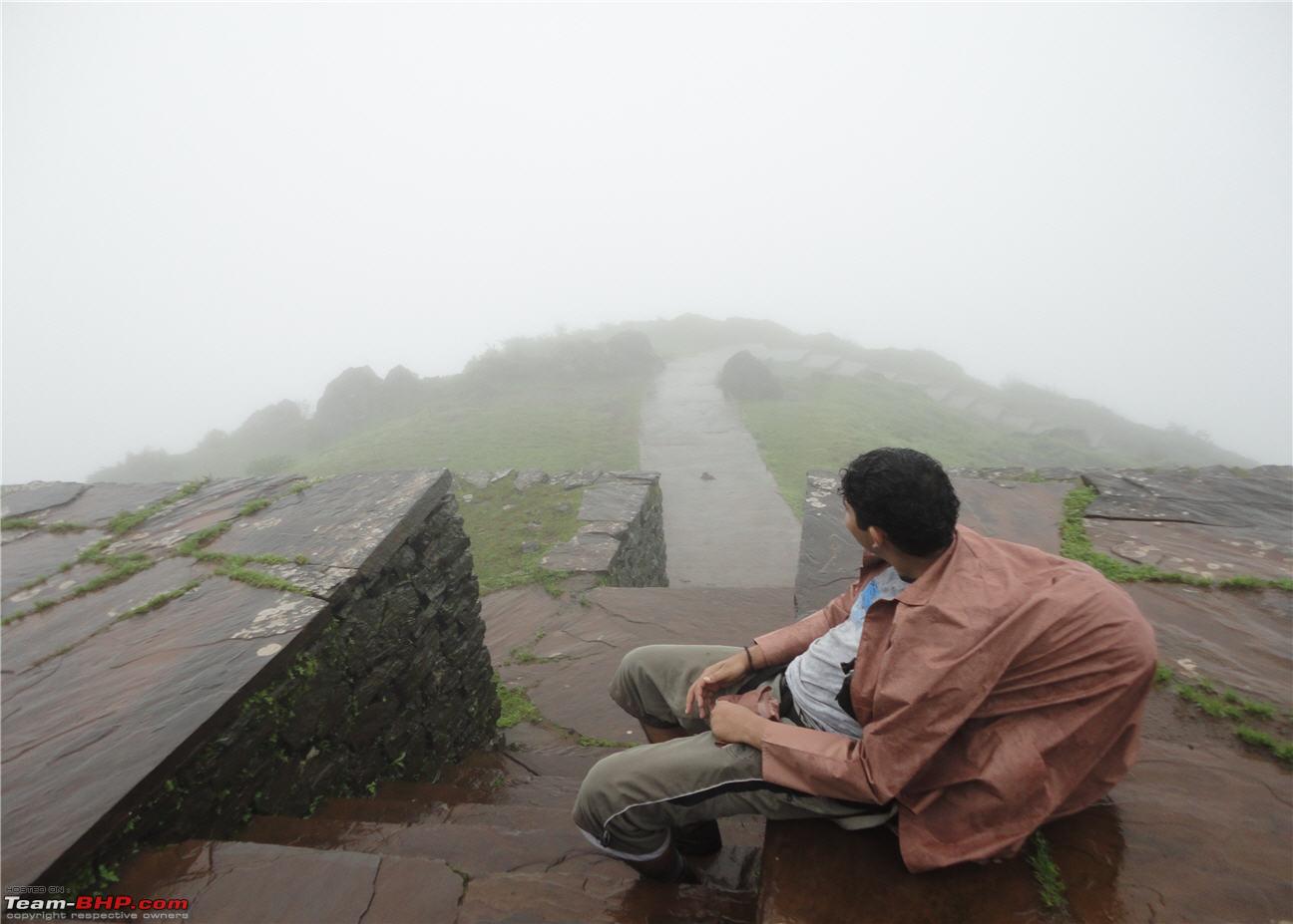
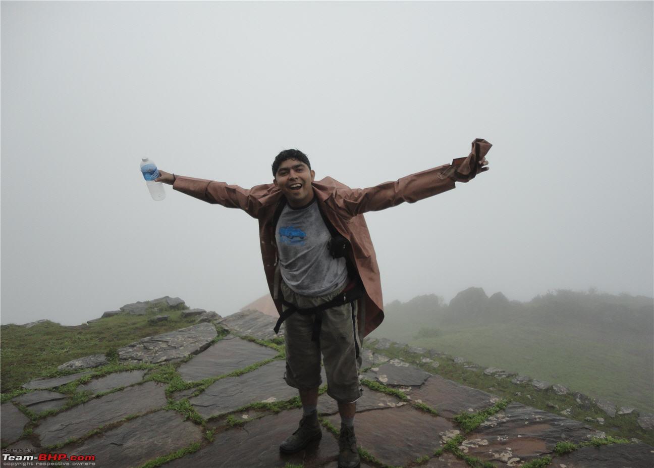
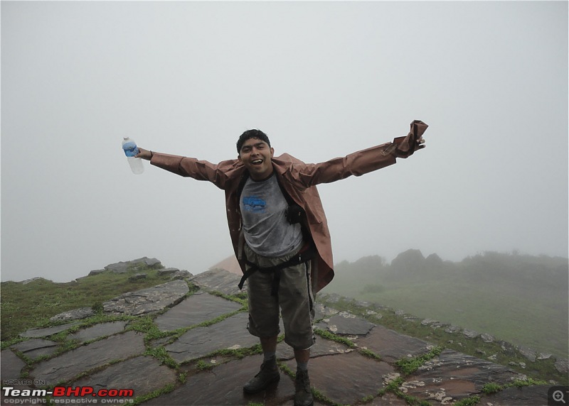
Phew!! Finally reached the peak
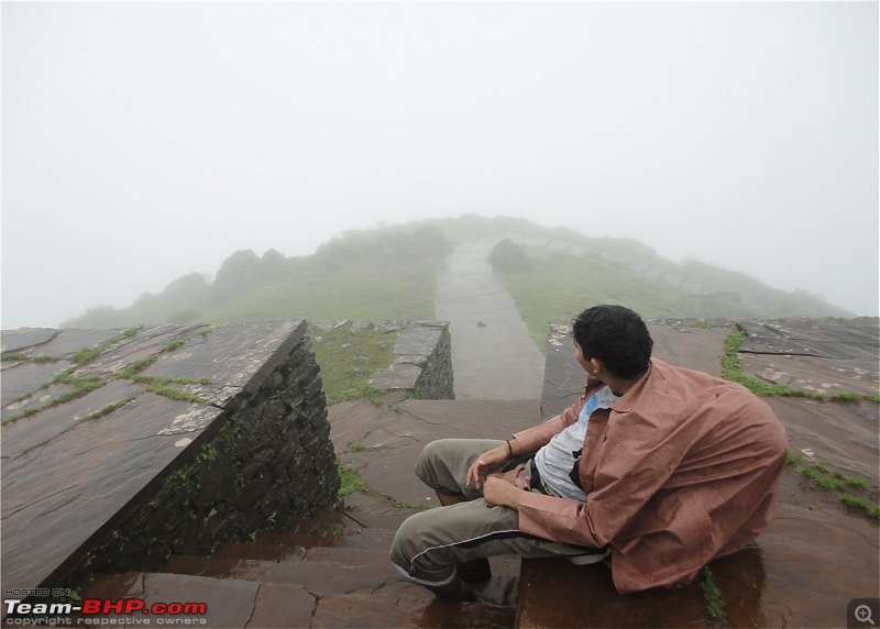

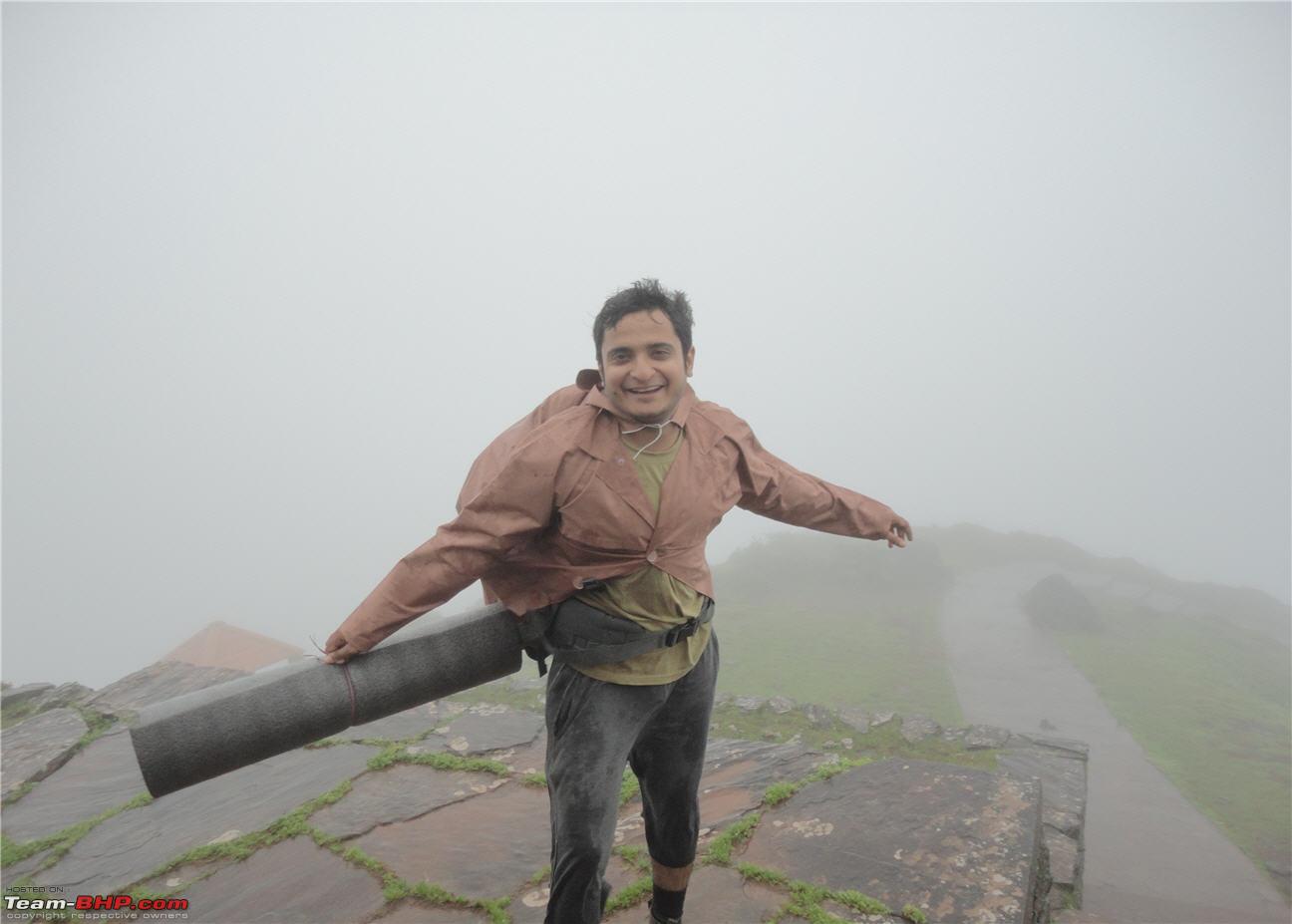
Time for some weird poses again!!! It is pretty windy at the peak.
Continued.....
Addy - No sign of leeches i guess. Too late into the monsoons, to have leeches around?
Quote:
Originally Posted by pramod
(Post 2121737)
Addy - No sign of leeches i guess. Too late into the monsoons, to have leeches around?
|
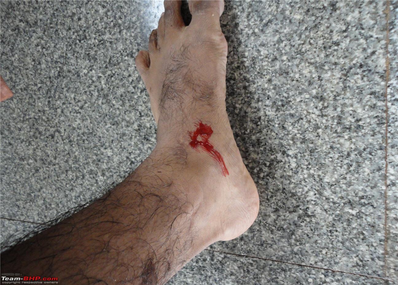
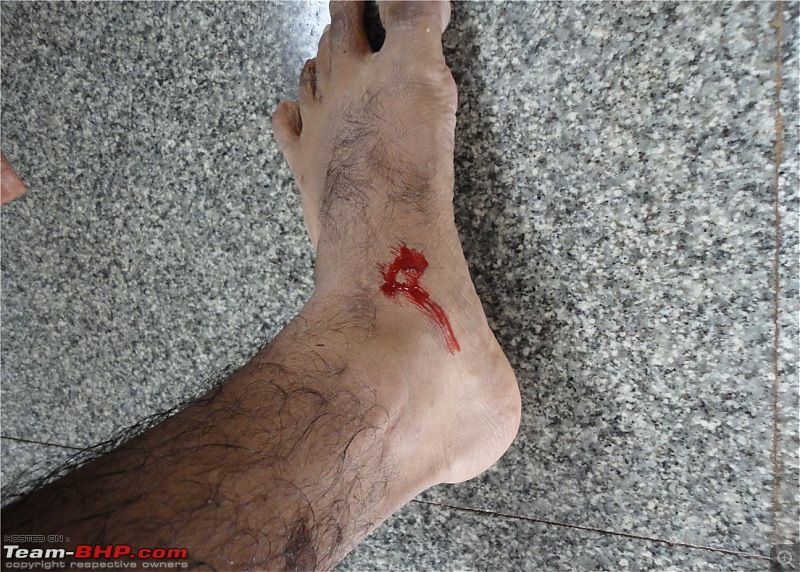
We did find leeches. But not as much we would have expected.
On top of KA - Mullayanagiri - Mullappaswamy temple
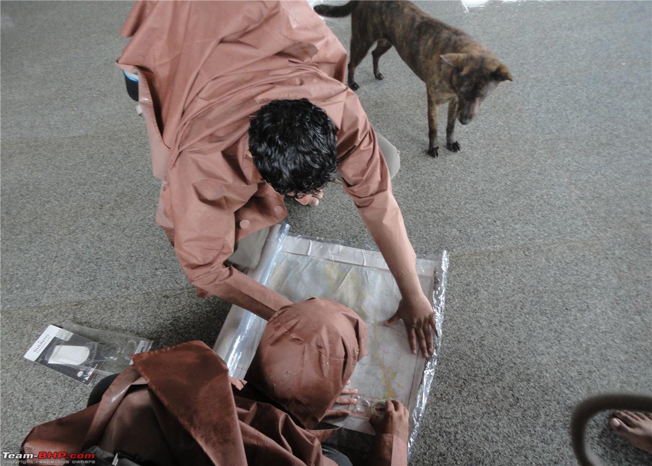
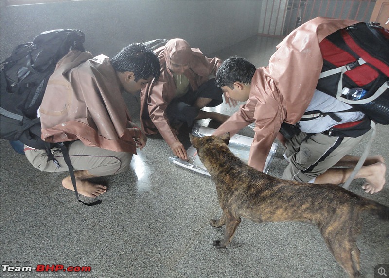
We reached Mullayanagiri peak in quick time and made way to the temple at the peak. The Mullappaswamy temple on the peak is the highest point on the mountain. We went to the temple and sought blessings from the deity and then started to discuss and debate the routes. We had a map and compass with us and we wanted to make full use of it (although it was of no use:D. It was misty and foggy all the time). We took a heading on our compass and set off on the trek. By this time the other group of trekkers had reached the peak and were starting the trek to Bababudangiri. This time we were to have company all the way to Bababudangiri.
Charting our course inside the temple and the local resident also joining us in the discussion and giving his inputs. That did not come free though, we had to give him half a pack of biscuits
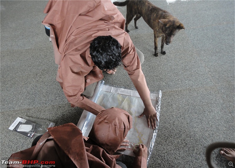
The only Leech bite for the whole trek (or so we thought)
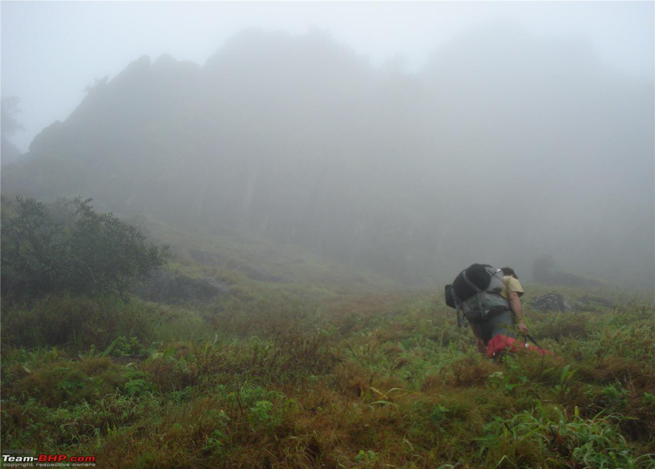
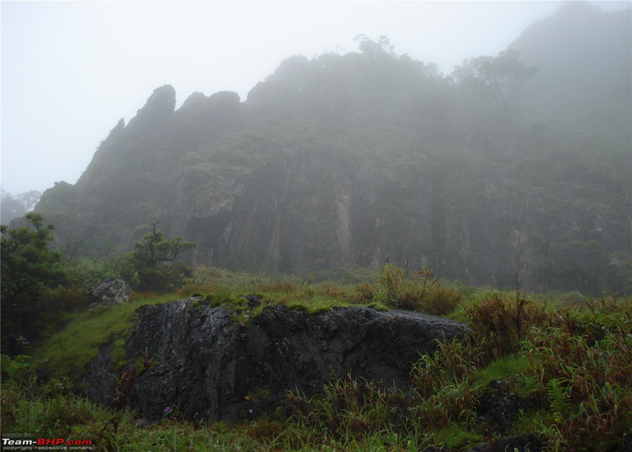
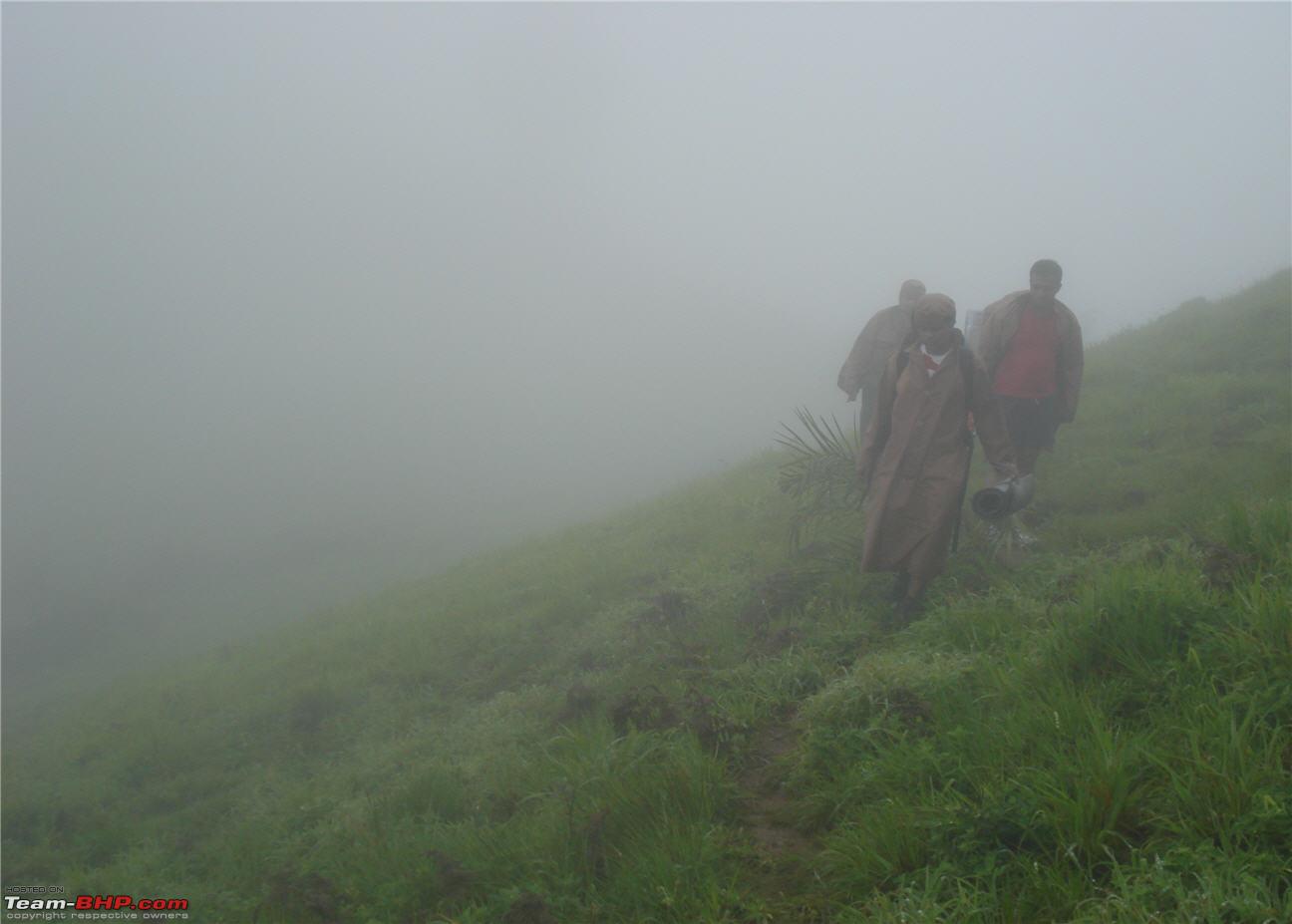
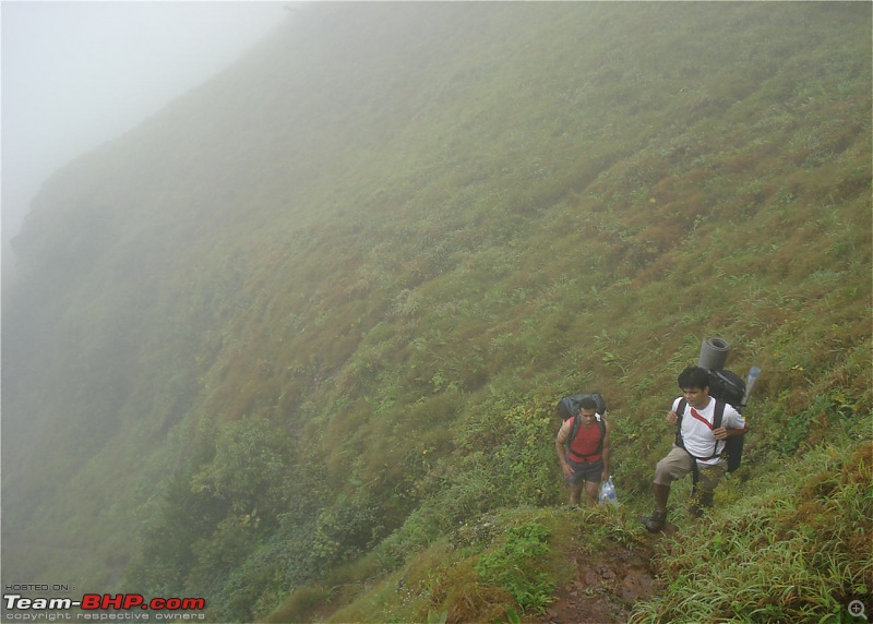
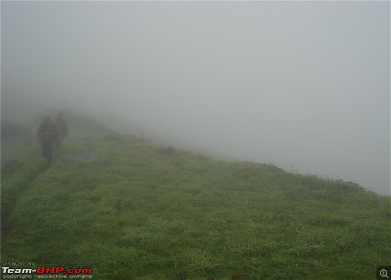
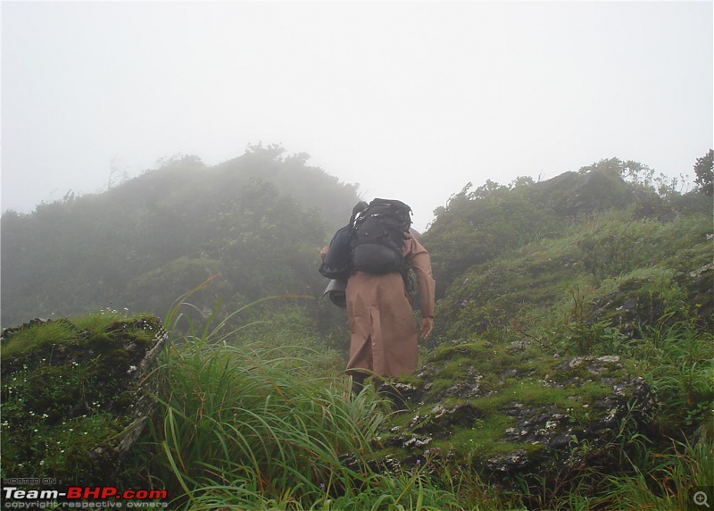
After all the discussions and debates, we finally left the temple and started the long trek to Bababudangiri. The initial path is quite steep and slippery. The Bababudan Hills are covered in mist for almost the whole of monsoon and it is always wet. One way, this is good for trekkers since there won’t be a hot sun to trouble them, but on the other hand, the visibility will be very bad and it is easy to lose your way.
The steep path through the rocks
Bad visibility
Getting down on a slippery slope
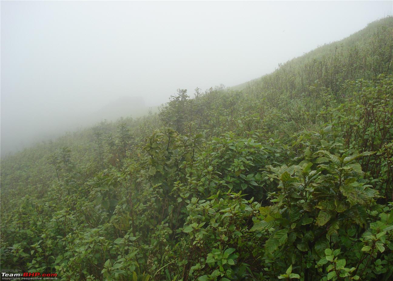
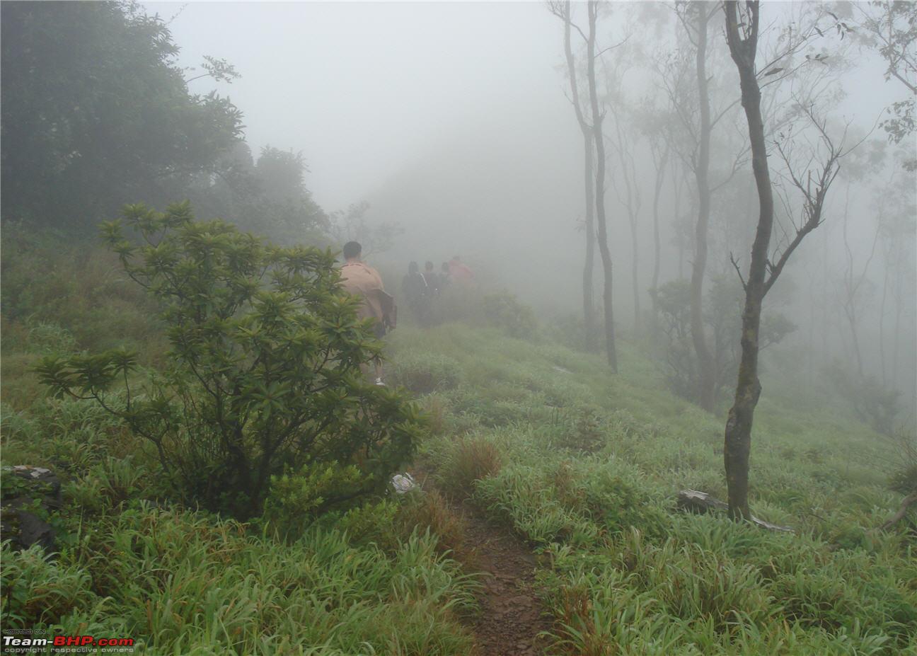
Wild shrubs growing all over the slope
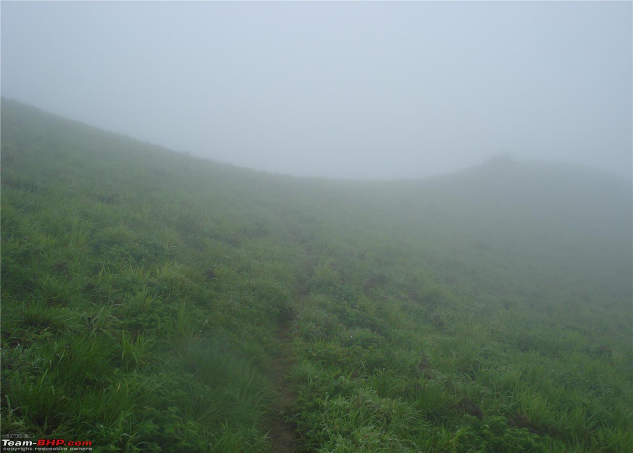
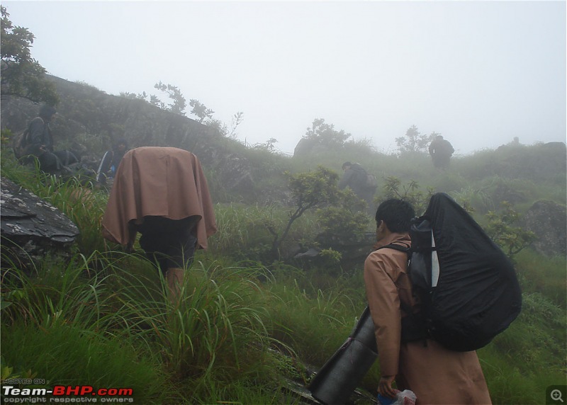
Another mist covered trail
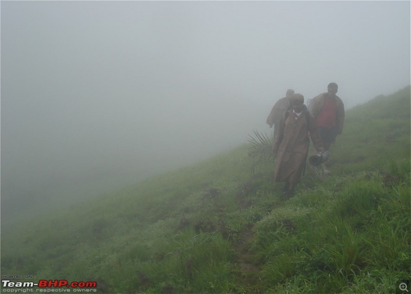
By this time, we had caught up with the other group of trekkers.

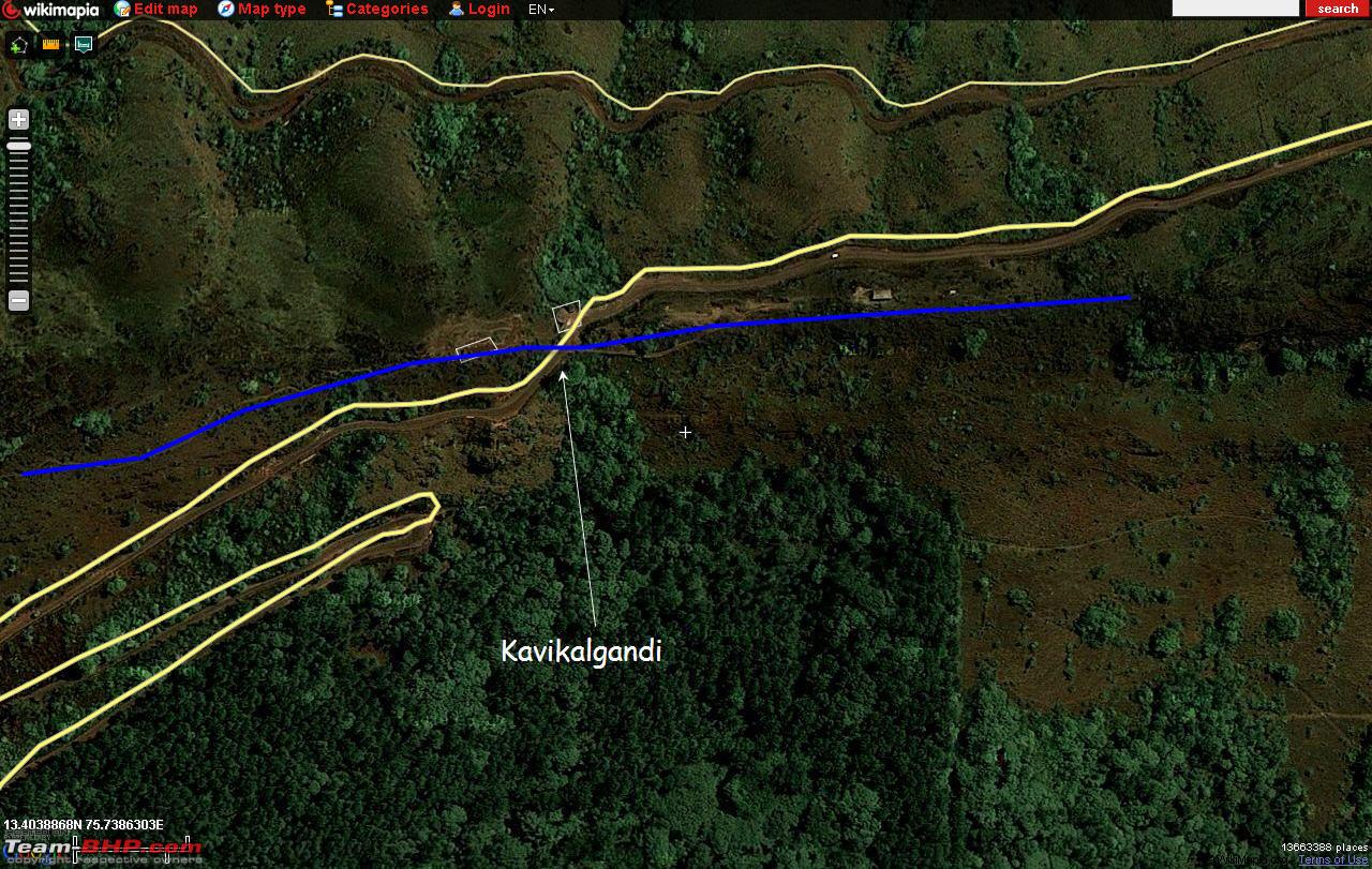
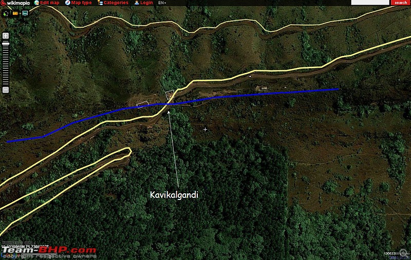
We stopped to have lunch at Kavikalgandi view point. But, as luck would have it, it started rain again (I loved it) and we had to look for shelter to eat lunch. There was a bus stop on the road and we headed towards it. Kavikalgandi is a place where the road crosses the Bababudangiri ridge from one side to the other side. It is actually a mountain pass, if I can say it so.
In the screenshot from wiki, the yellow lines are the roads and the blue line is the ridge (and the trek route).
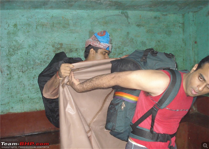
At the bus stop, we had a quick lunch (chapattis and chutney powder) and started off along with the other guys.
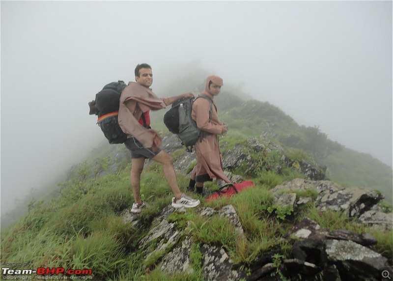
This was how difficult it was to put on our raincoats. We had to take help from each other to put them on!!!
We moved on for about 10 mins when we stopped. There was no road ahead!!! This was where we had stopped during our last trek. We simply did not know where to go. We actually headed back trekked on the road till it rained heavily and caught a bus to Bababudangiri. But, this time, we were determined to find a way. Luckily for us, one guy in the other group had trekked this route before and knew the way. So, we just followed him.
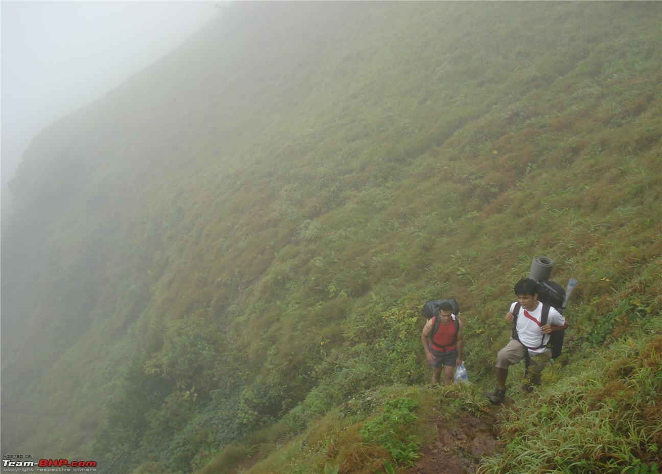
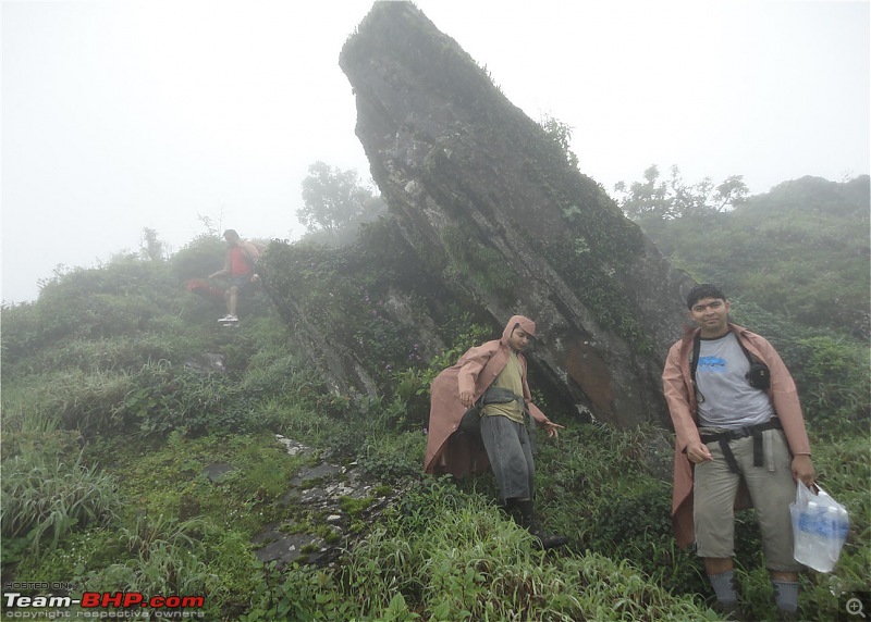
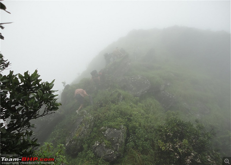
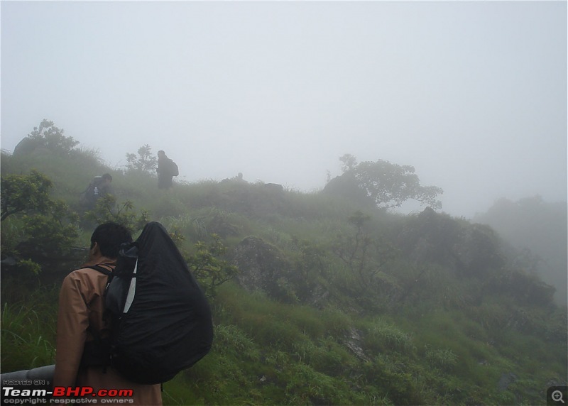
But, the route he was taking was so scary :eek:, that we were having thoughts about turning back. We had to climb over huge rocks which were slippery and steep. One wrong step and we would be down the mountain. And to top it up, we were carrying very heavy backpacks on our backs which added to the problems.
Climbing the rocky terrain
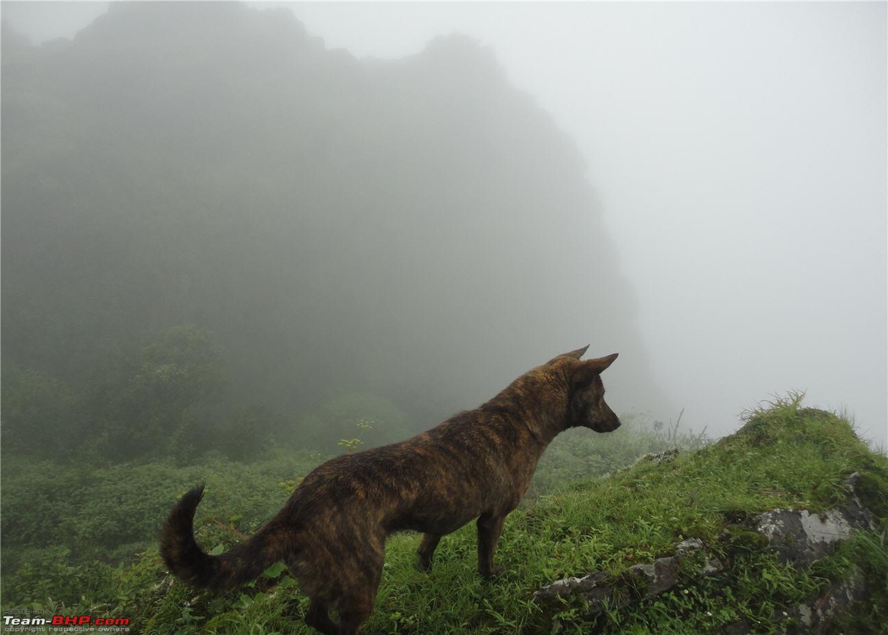
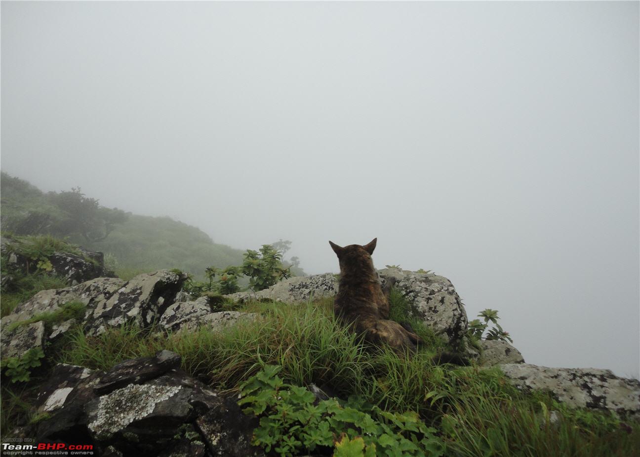
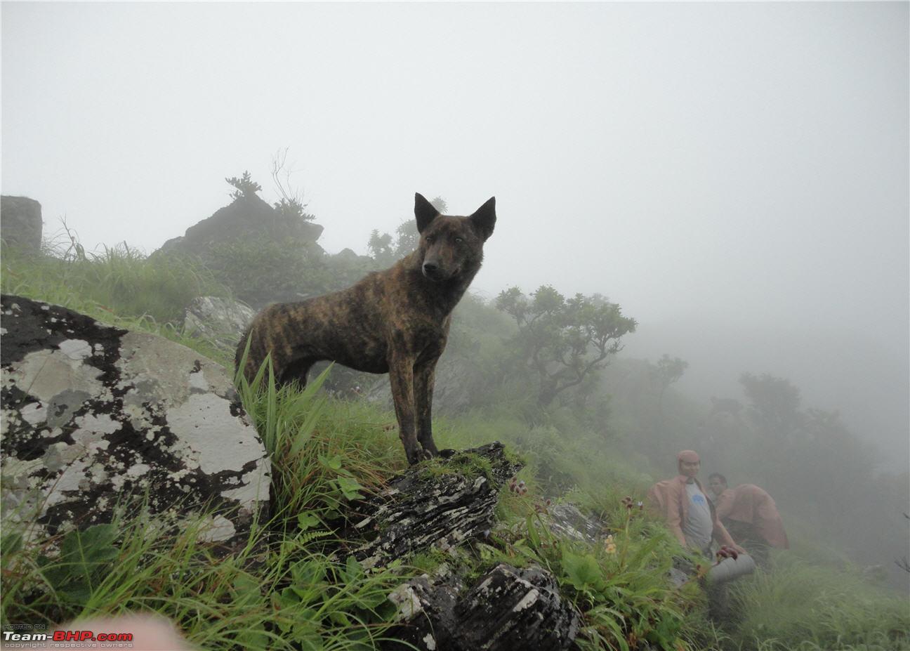
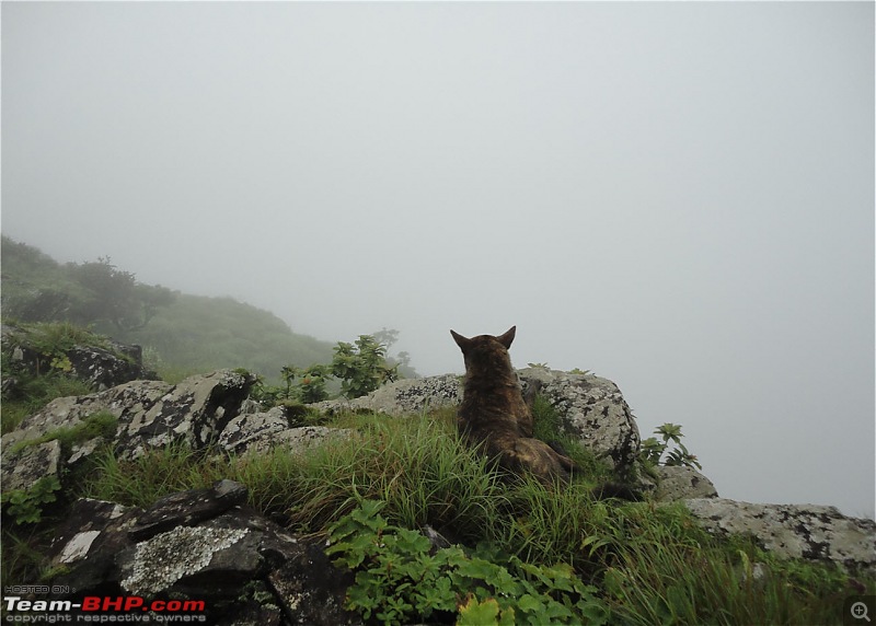
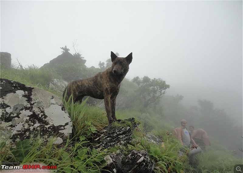
As we were climbing up, I noticed something moving in the grass next to me. I was startled when I saw this next to me
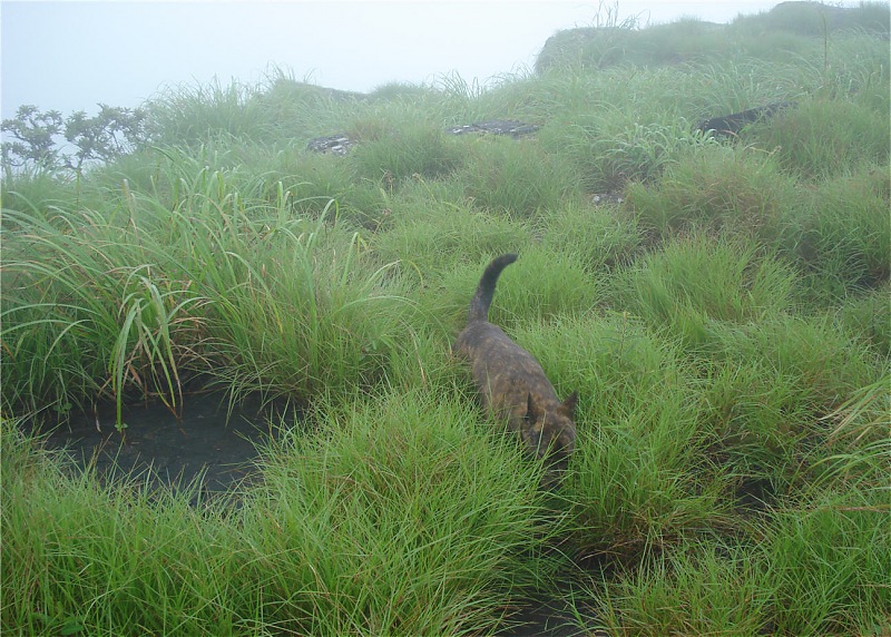
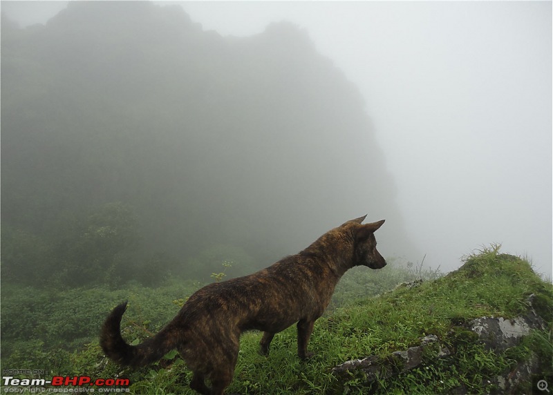
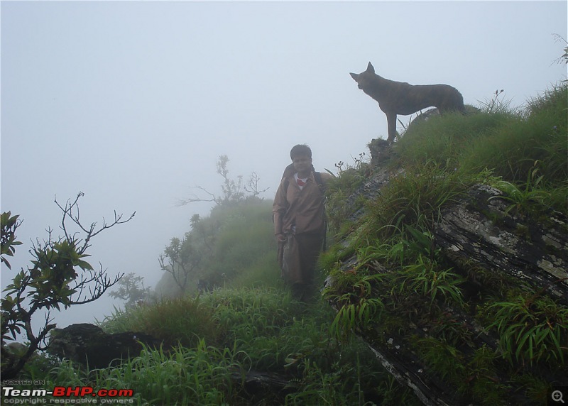
This dog had been following us all the way from Mullayanagiri. We thought it could not get through those rocks, but somehow it managed to accompany us all the way to Manikyadhaara Falls in Bababudangiri.
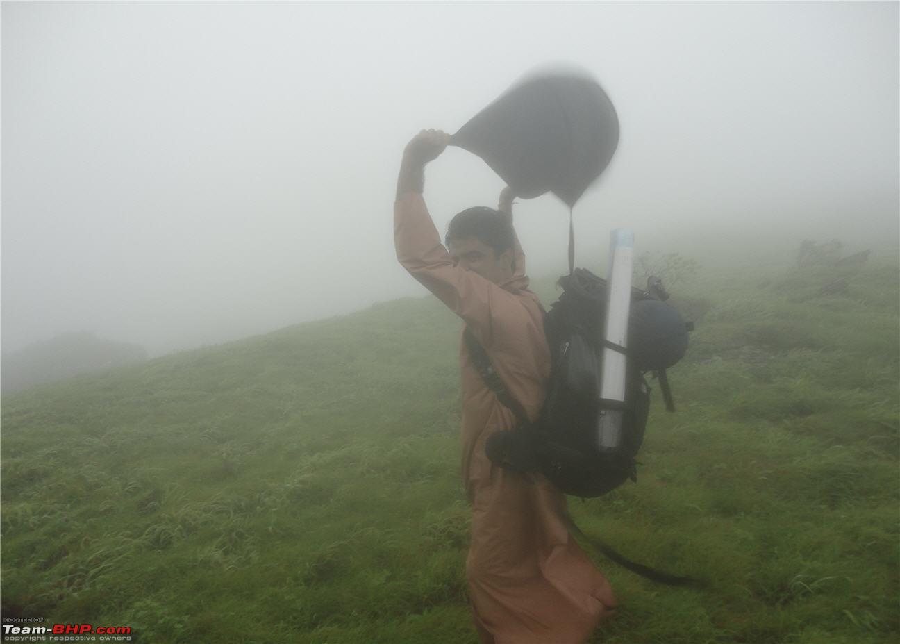
It was so windy on the ridge, that one loose raincoat could have led you off-balance and plummet into the rocks below.
Check out the slope. That platform was the only place where we could stand. We had to crawl on that to get ahead.
The dog was totally chilled out and always waited for us before it went ahead.
Another scary climb. The spot where I took this photograph had a very scary descent.
An example of how windy it was
Still climbing precariously. It was very very slippery!!!
The dog could access places where we couldn’t go.
Continued......
Addy
Absolutely brilliant travelogue maga. The place looks ideal for someone looking for a good adventurous trek. Pictures speak a lot, must appreciate your effort in taking pictures despite the rain, wind, climb etc.,
good work man, keep it up.
Cheers
Subs
Quote:
Originally Posted by subs
(Post 2127523)
Addy
Absolutely brilliant travelogue maga. The place looks ideal for someone looking for a good adventurous trek. Pictures speak a lot, must appreciate your effort in taking pictures despite the rain, wind, climb etc.,
good work man, keep it up.
Cheers
Subs
|
No additional words are needed. i repeat what subs wrote here.
Addy, i admire the passion for the trekking among you guys. Would love to join some (less stressfull) treks with you if possible.
clap:clap:
Quote:
Originally Posted by subs
(Post 2127523)
Addy
Absolutely brilliant travelogue maga. The place looks ideal for someone looking for a good adventurous trek. Pictures speak a lot, must appreciate your effort in taking pictures despite the rain, wind, climb etc.,
good work man, keep it up.
Cheers
Subs
|
Thanks a lot subs. Rain, wind, climbing.....aha, the perfect ingredients of a beautiful trek. This is just my opinion, but I love trekking in the rain with the wind in my face. Nothing beats that experience. But, the downside is that you miss out on the amazing views that are on offer.
Quote:
Originally Posted by StarVegabond
(Post 2127642)
No additional words are needed. i repeat what subs wrote here.
Addy, i admire the passion for the trekking among you guys. Would love to join some (less stressfull) treks with you if possible.
clap:clap:
|
Thanks Star. These words coming from an accomplished writer such as yourself really mean something. I really admire the way you write your travelogues.
Sure, we can do some shorter treks sometime.:)
| All times are GMT +5.5. The time now is 04:35. | |