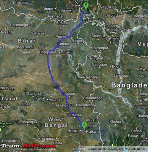
For any North Bengal /Sikkim enthusiast, the prospect of having to endure the ever congested, permanent state of disrepair, and some infamous level crossings is a sure turn off that comes out like a sore thumb all the time. On this ground upon discussion with team bhpian ADC and upon consultation with another bhpian Sheel had tried out this route last October. It turned out to be relatively stress free and ensured an end to end travel duration of under 13 hours.
Like it is always said, one instance does not make it a rule. We tried the route again a couple of weeks back. Similar result. To me this will be a preferred route till the so-called 4-laning of the NH34 takes place.
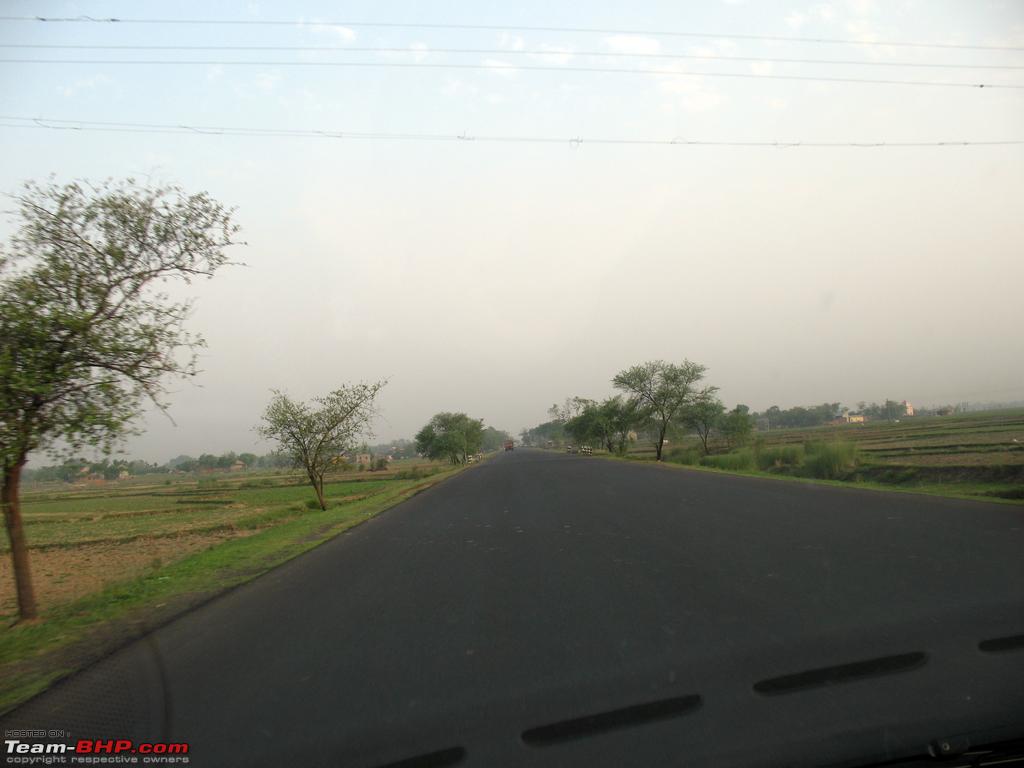
The route starts of with taking the NH2 (Durgapur expressway) to either Panagarh or Bardhaman, and then makes its way to Siuri.
In our case, we took Panagarh and will define it from that standpoint, but the Bardhaman Bolpur Illumbazar will be better.
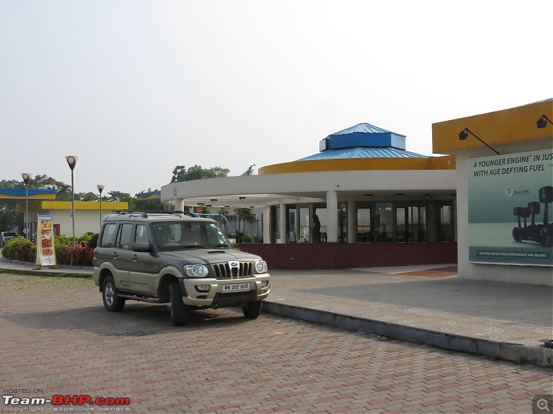
We started at 4:38 and within 2 hours and 5 minutes was at Panagarh-darjeeling more (Kaksa more). The only reason we took this route is for easy availability of breakfast. But then, this time they were puting a lot of excuses towards not providing bread and eggs, though a little persuation helped.
The alternate route will involve driving via Messanjore Dumka Bhagalpur and Purnea before reaching Dalkhola. So to reach Messanjore first, we would have to drive on SH9 till it merges onto NH60 at Dubrajpur, cross Siuri, cross tilpara barrage and approximately 4 kms from the barrage comes the Seorakuri more (80 kms from Darjeeling more at Panagarh and 55.7 kms from Illumbazar more)
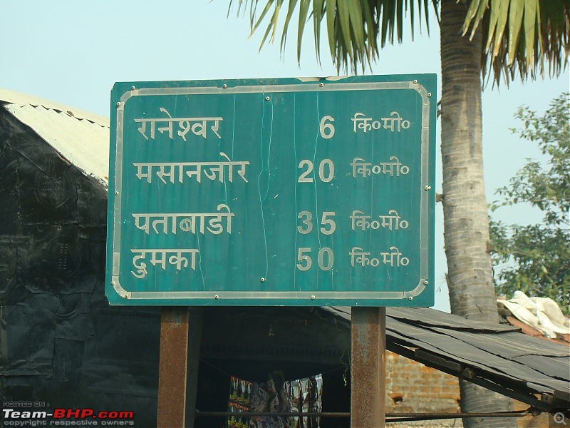
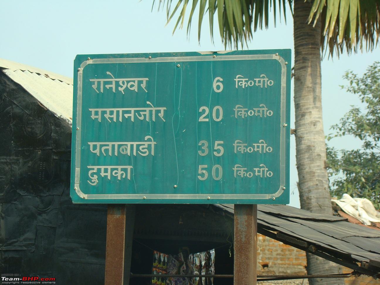
At Seorakuri more, one has to take a left turn towards Messanjore. This turn is a pretty non descript one, as it is actually narrow but has two entries with a buildings in between. Mesanjore is 30 kms from there on SH-7.
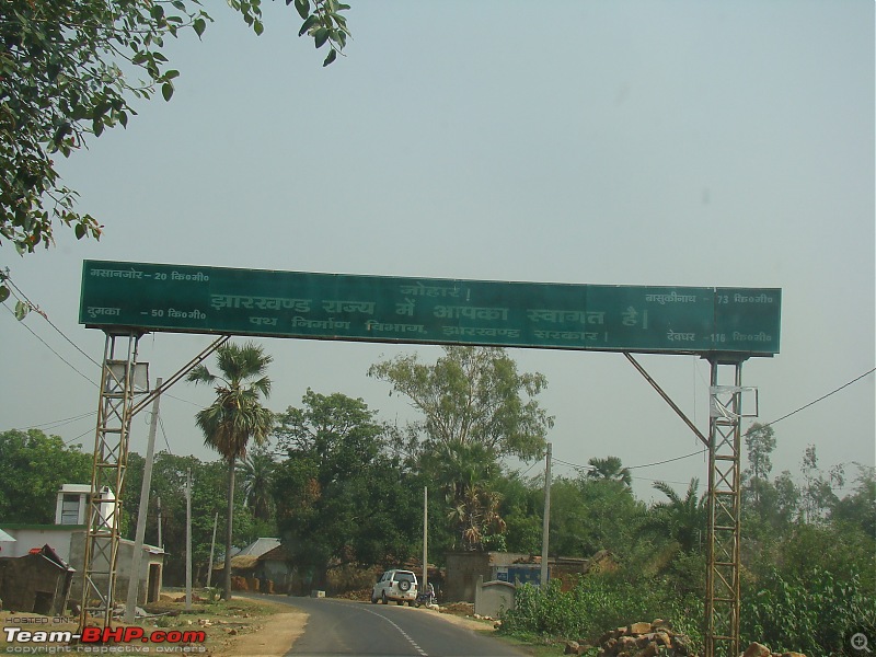
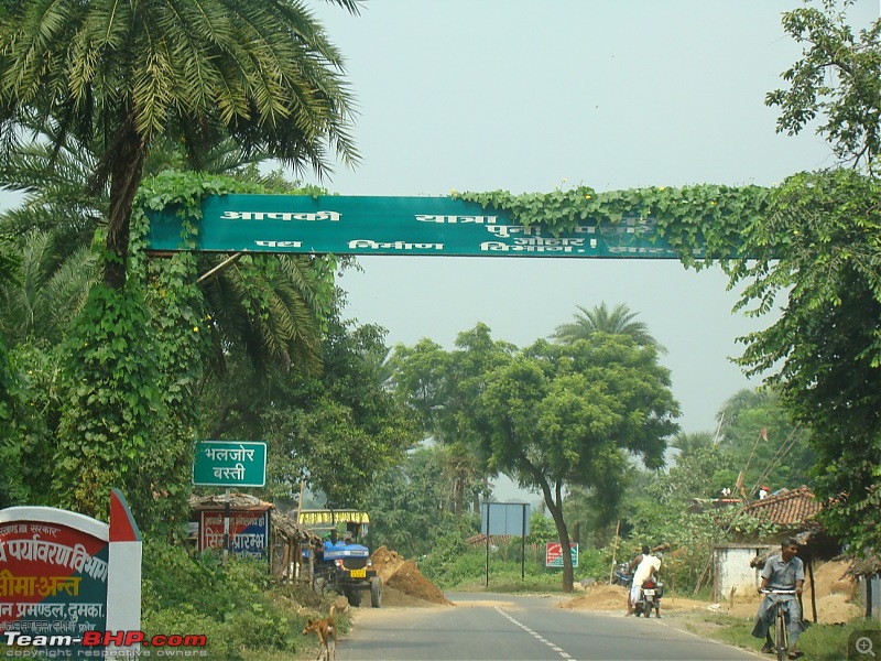
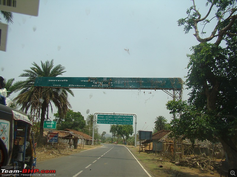
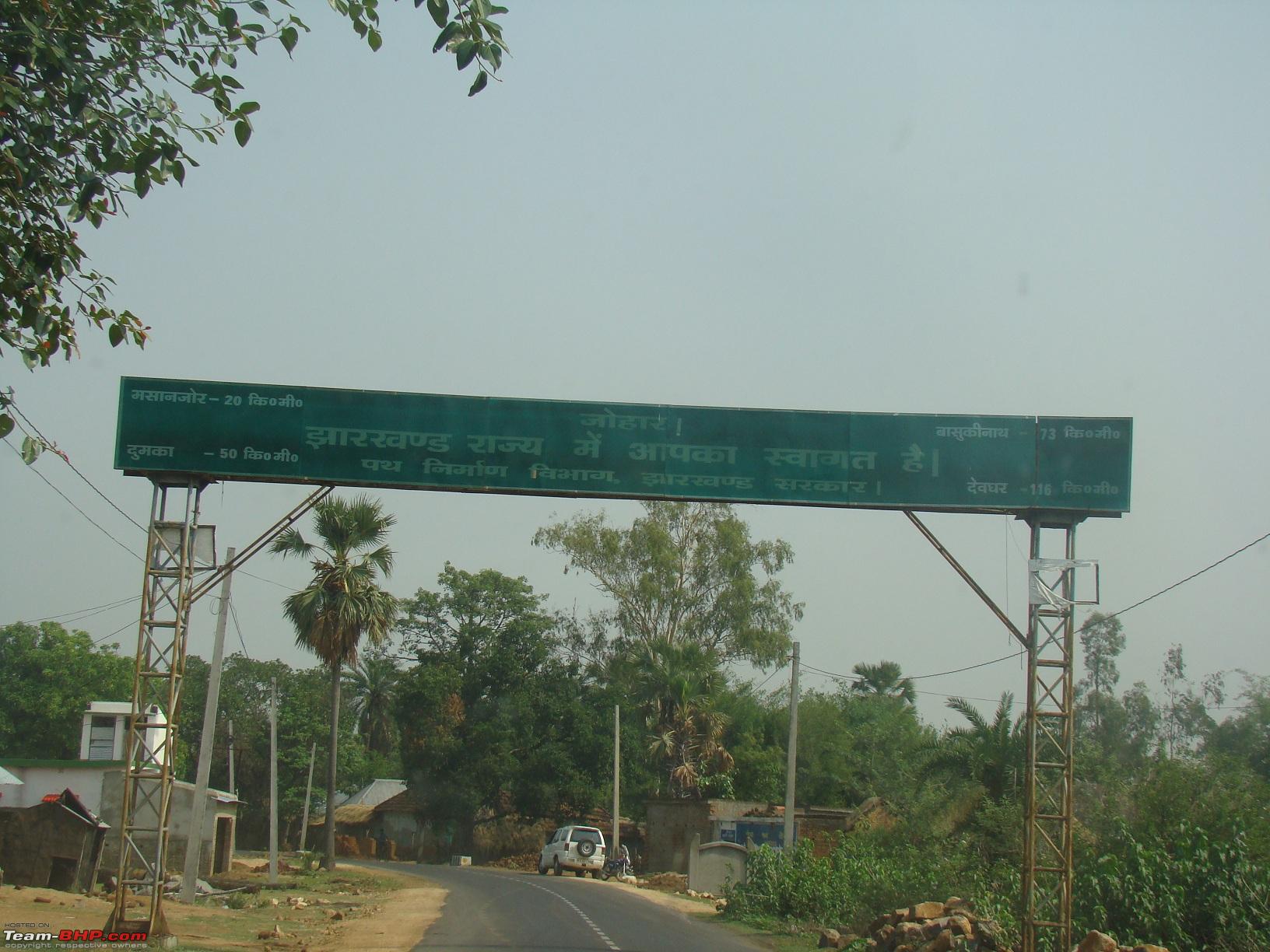
9 kms after Seorakuri more comes the Bengal Jharkhand border
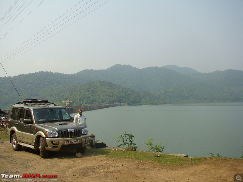
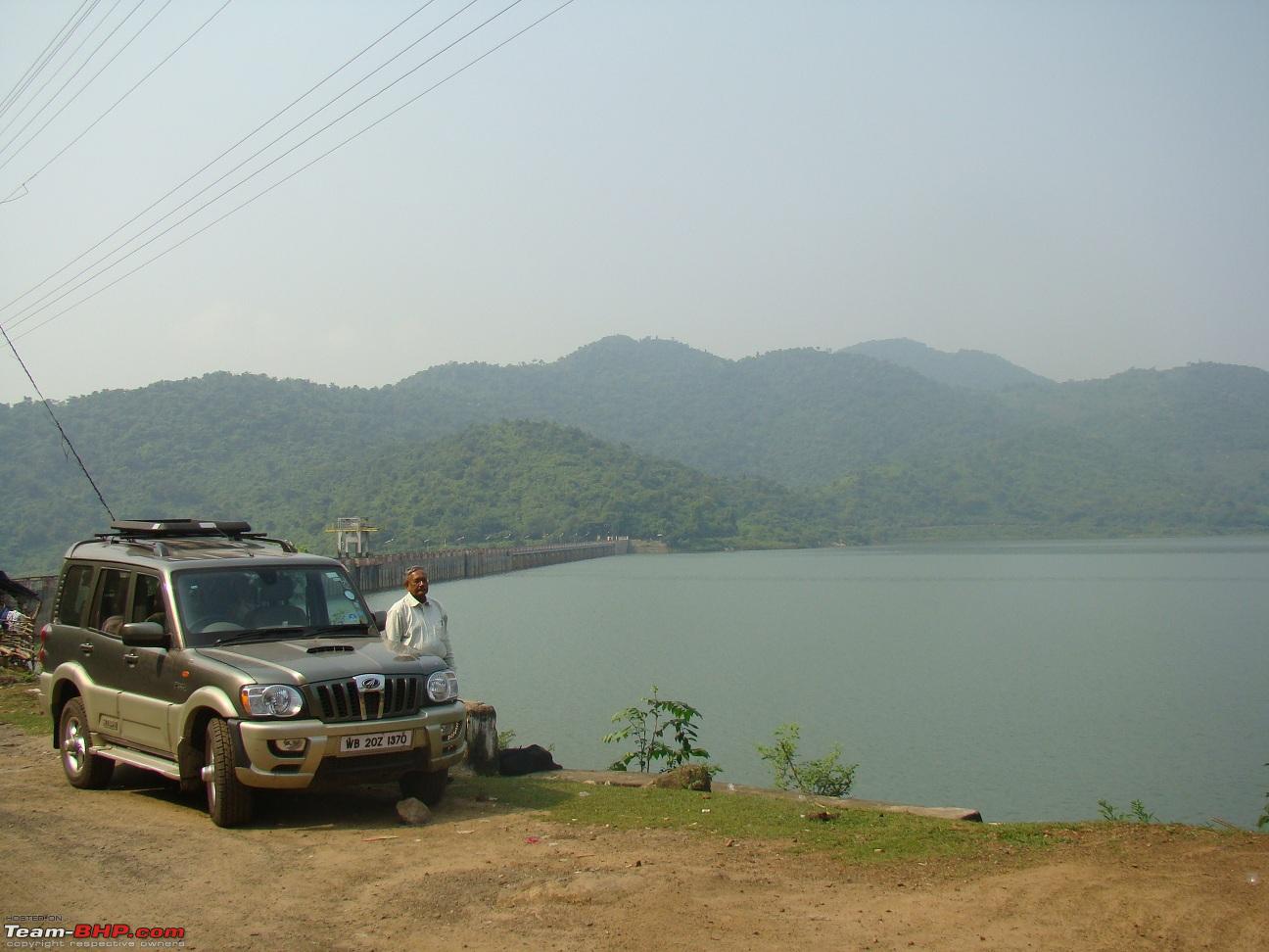
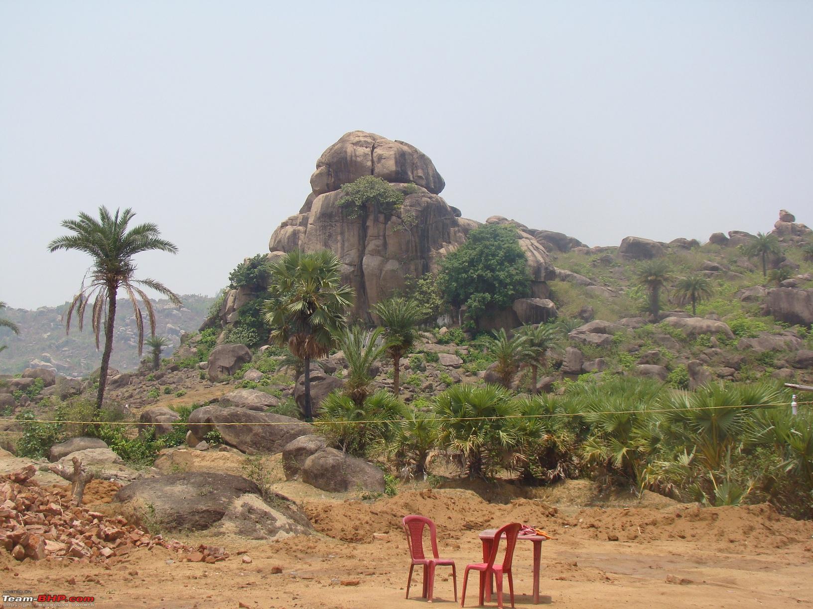
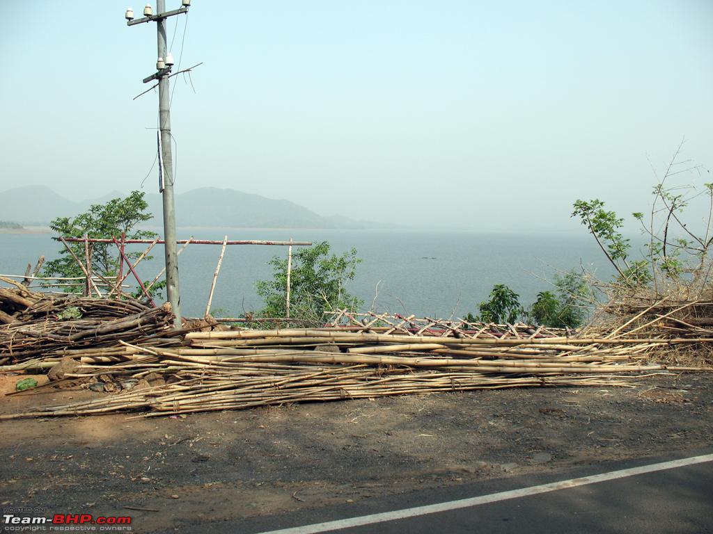
We stopped at the Messanjore Dam about 9am.
(Pic taken last time)
Had a separate travelogue to this place
http://www.team-bhp.com/forum/travel...-birthday.html
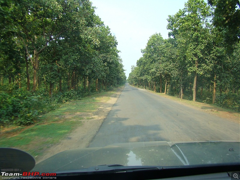
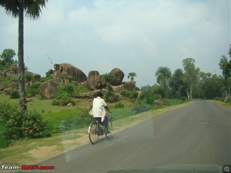
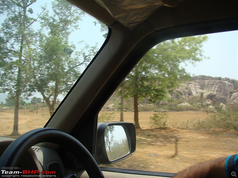
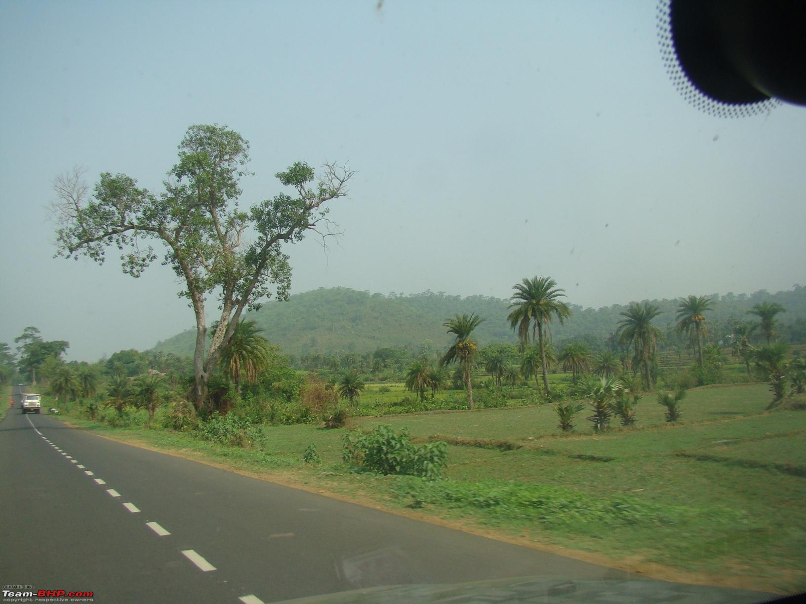
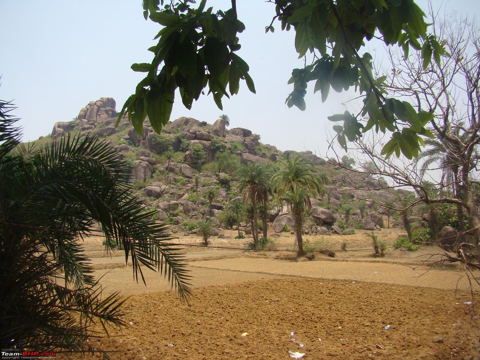
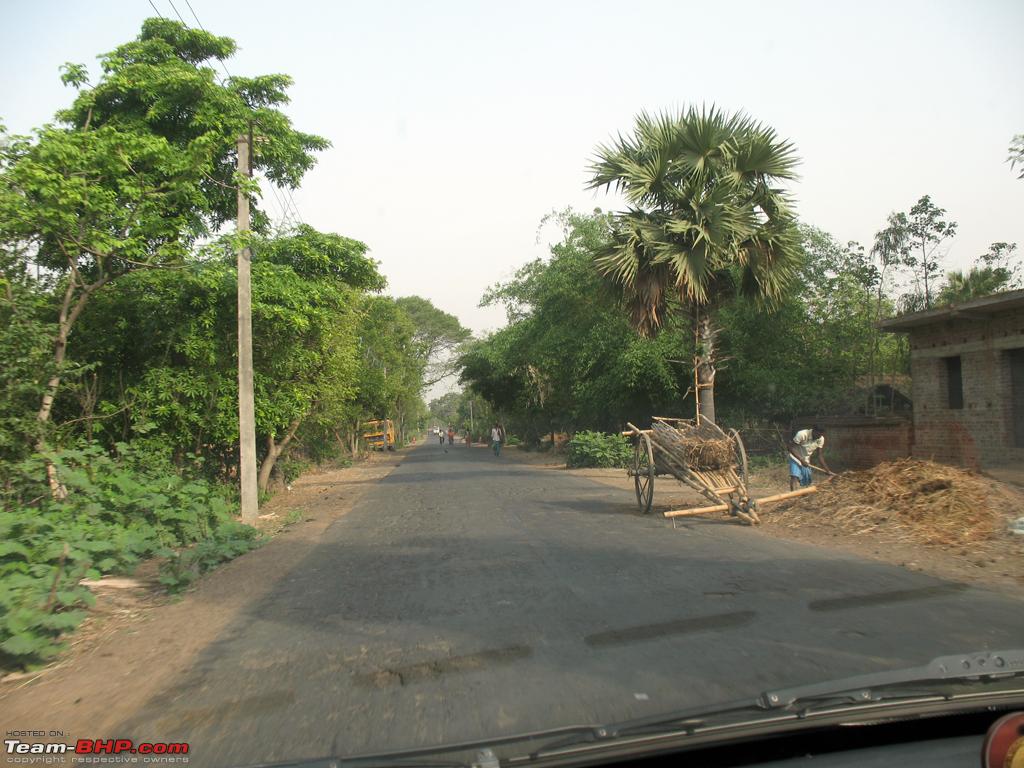
Another 15 kms from that through a very sceneic involving partial hilly terrain, comes up Pattabari where the road ends in a T junction. Its the Rampurhat-Dumka higway.
Take a left on this highway. Dumka is only 15 kms from here, but the road condition was bad. This 15 kms took us about 40 minutes. Could have been done faster but was taking it very very easy.
Sristi Park Kuruwa
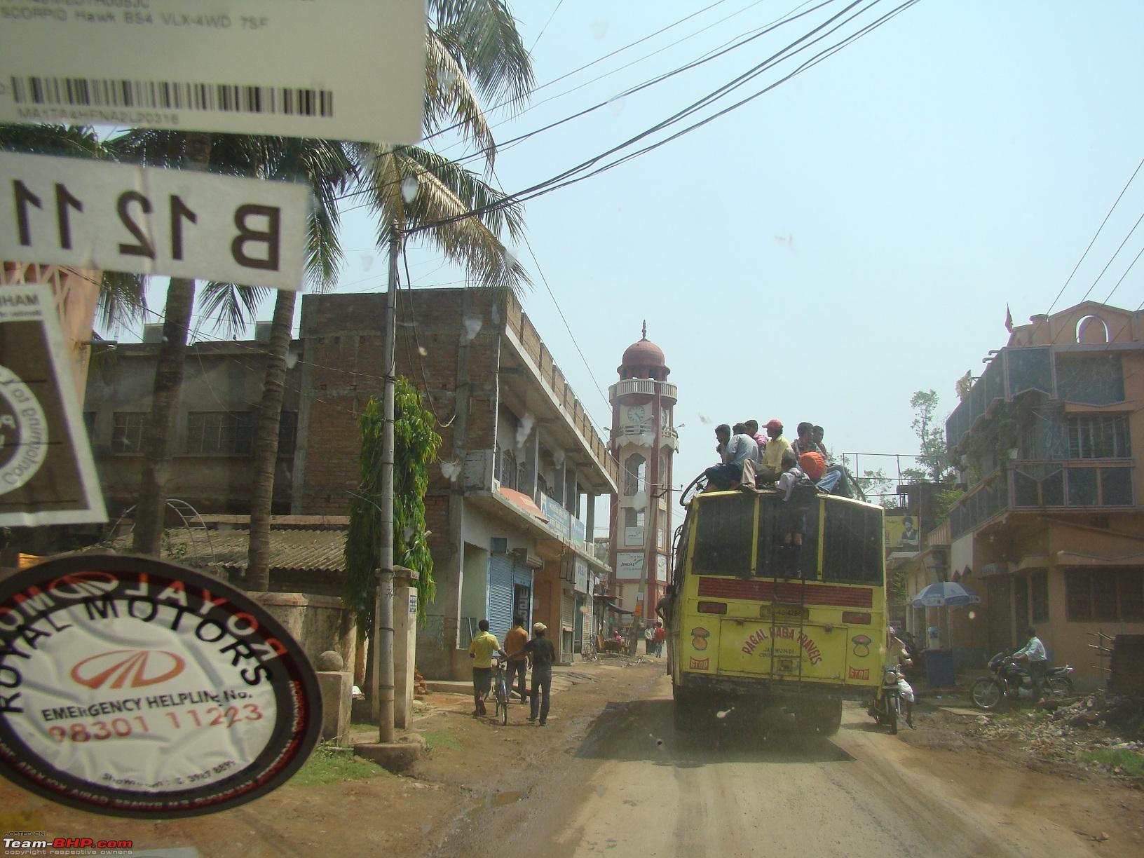
Clock tower at Dumka (turn left on it)
At Dumka we refuelled at the biggest Indianoil outlet there and was soon out for Bhagalpur around 111 kms from there. My fathers calculations (of both occasions) though, hint at fuel from this pump not giving a good range. But I think its just my aching right foot.
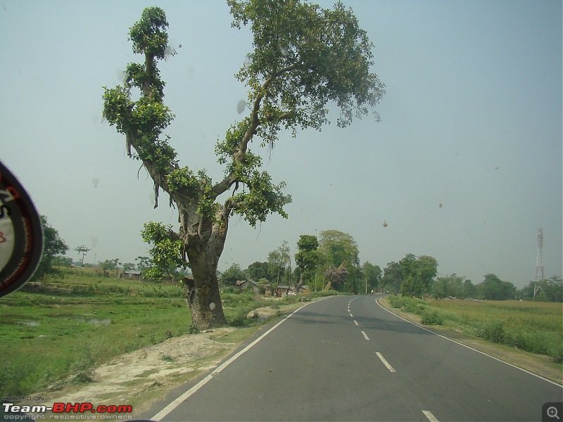
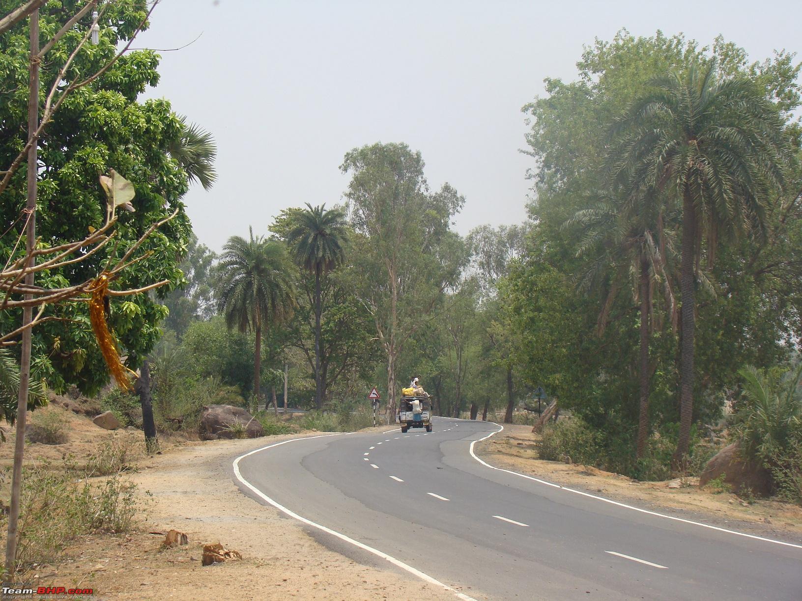
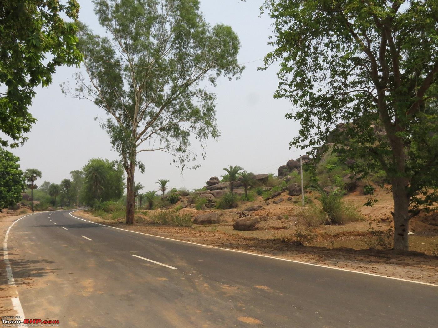
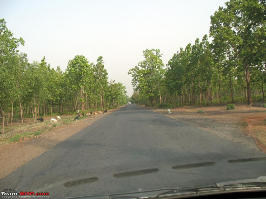
The road till about Hansdiha has some sporadic potholes, nothing that cannot be avoided by carefull watchout. Infact polarised sunglasses help better identification of potholes!! Beyond Hansdiha, the road surface was fantastic.
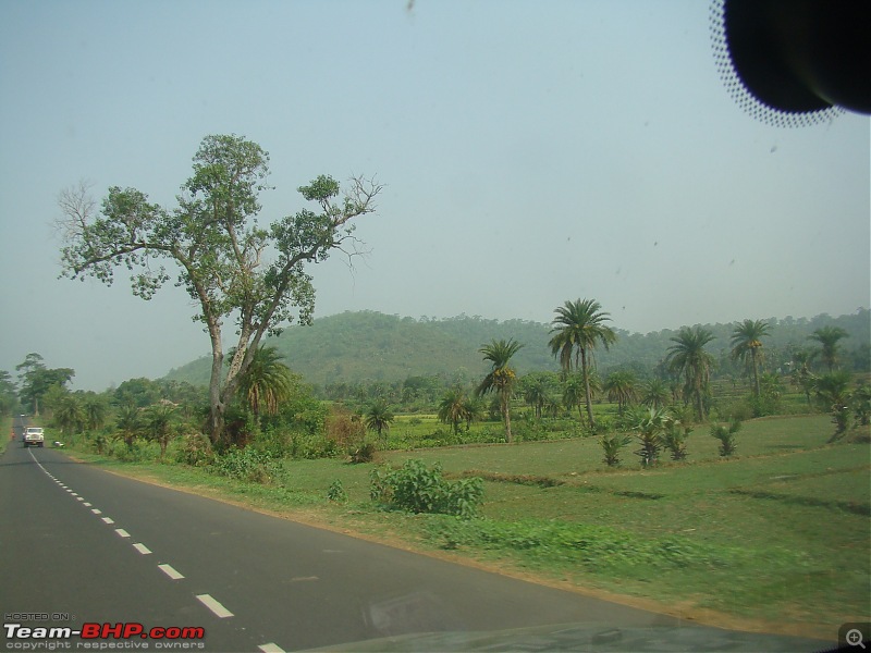
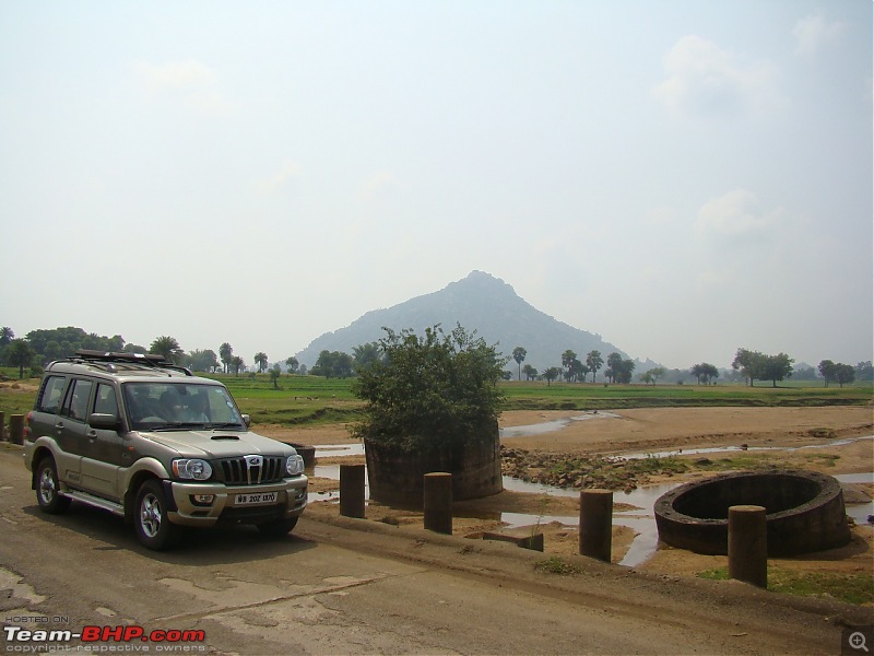
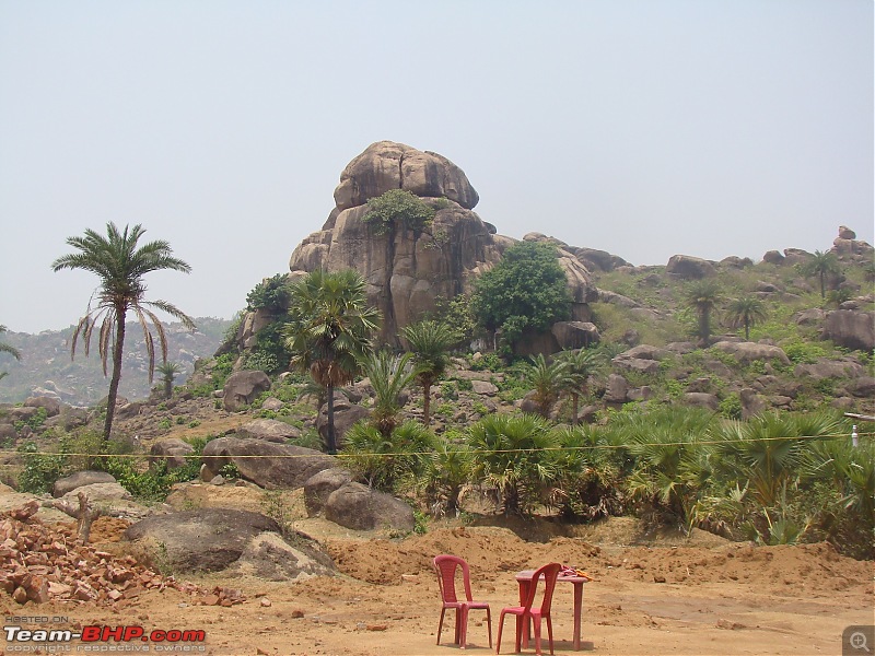
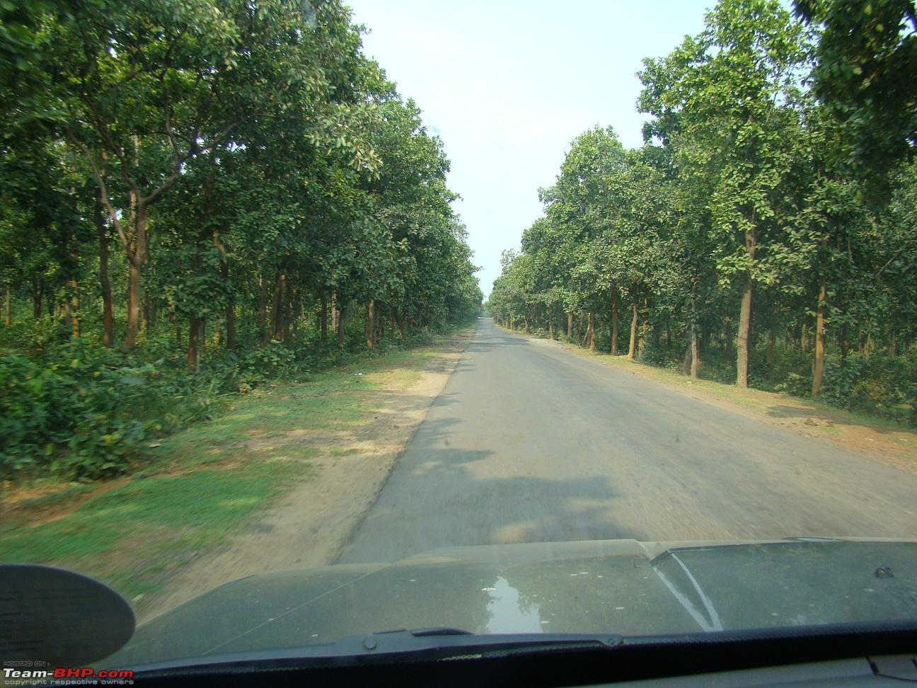
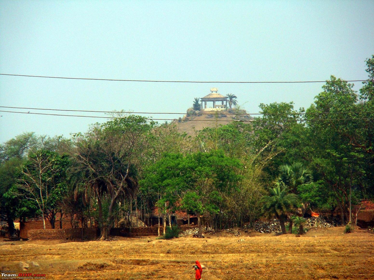
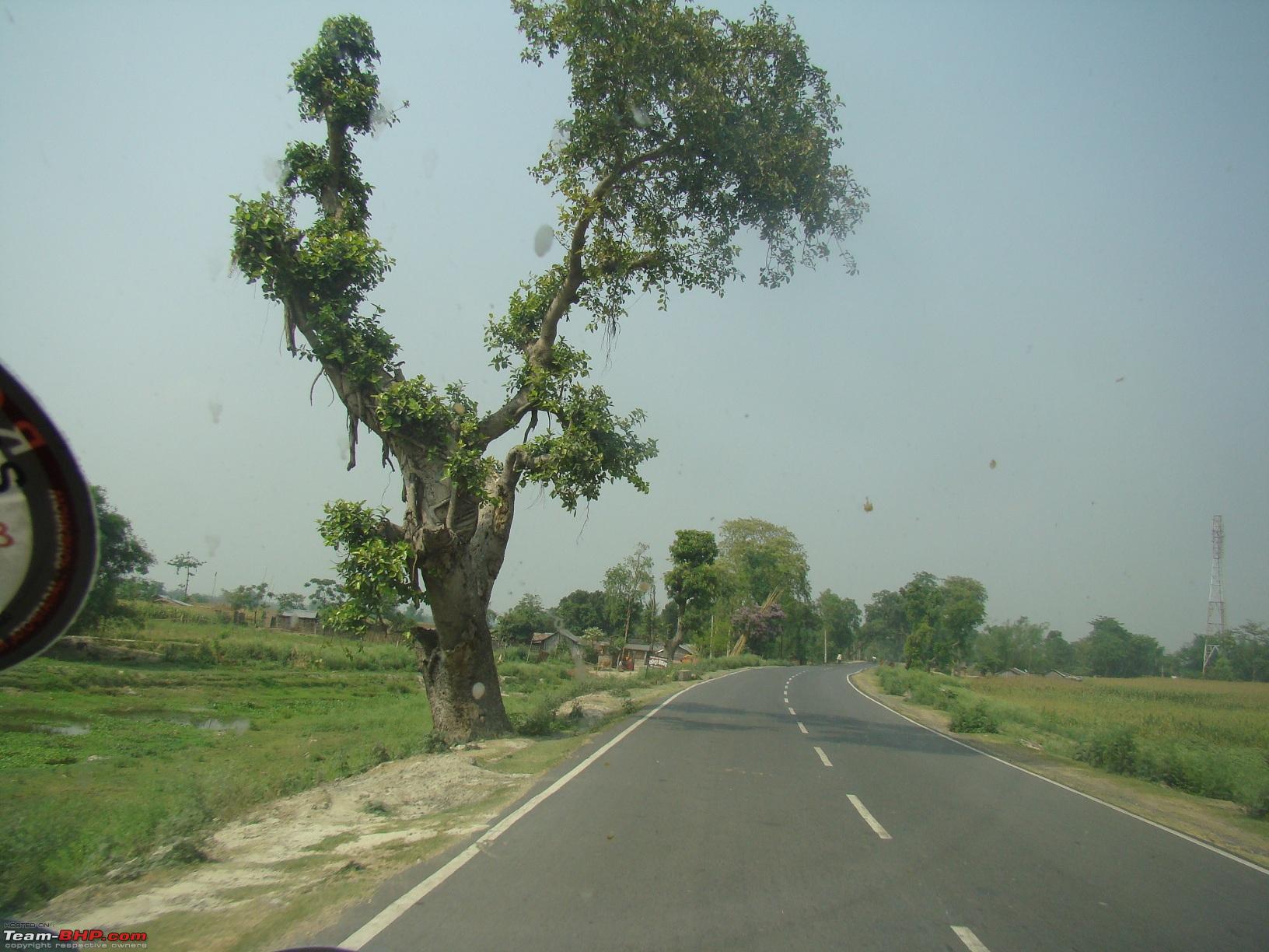
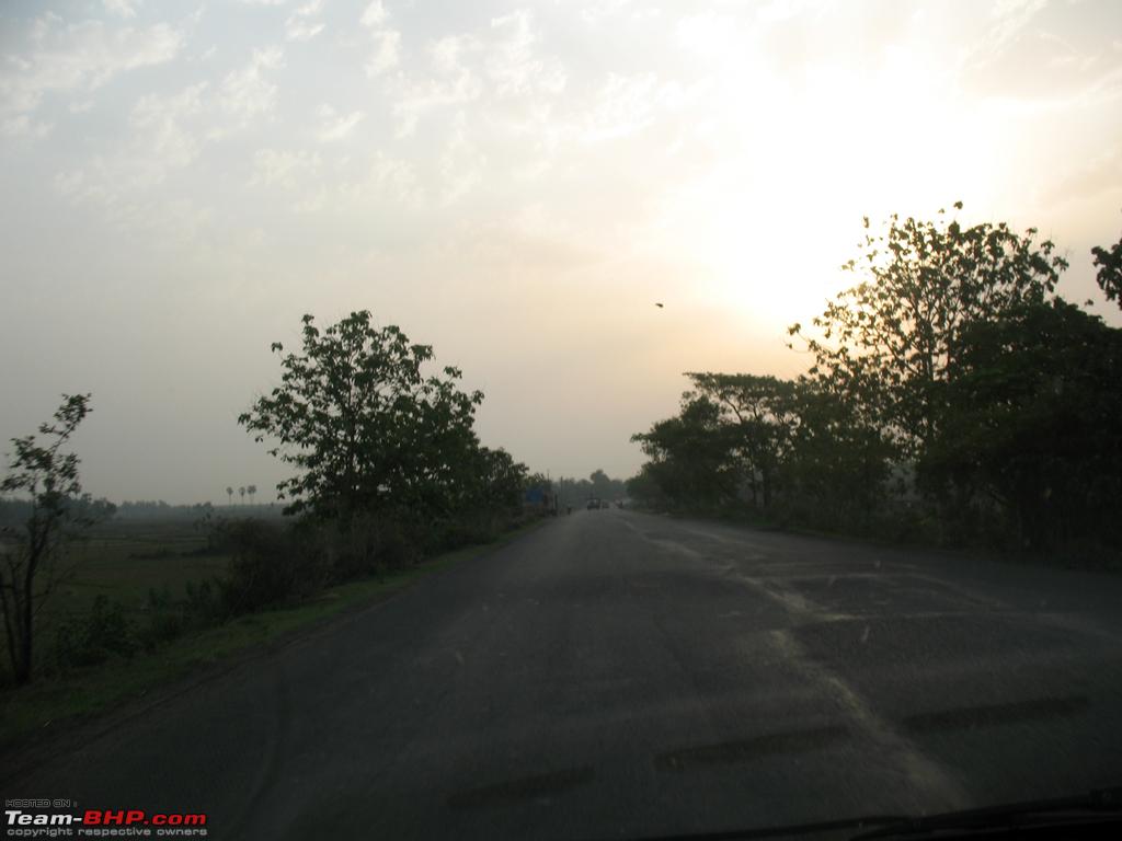
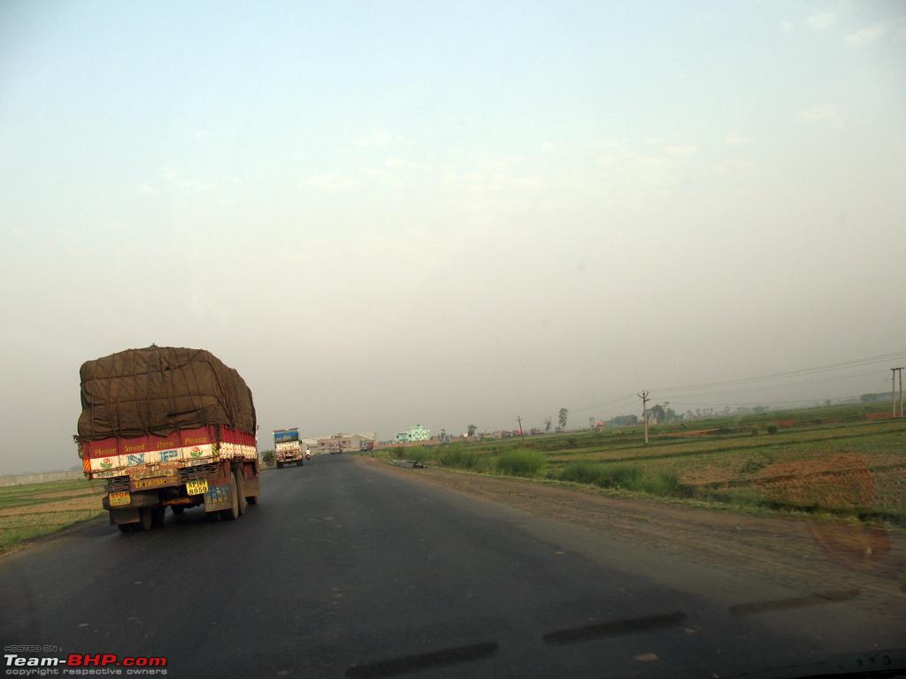
A few pics enroute
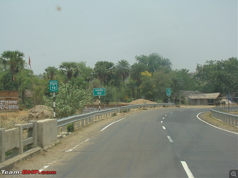
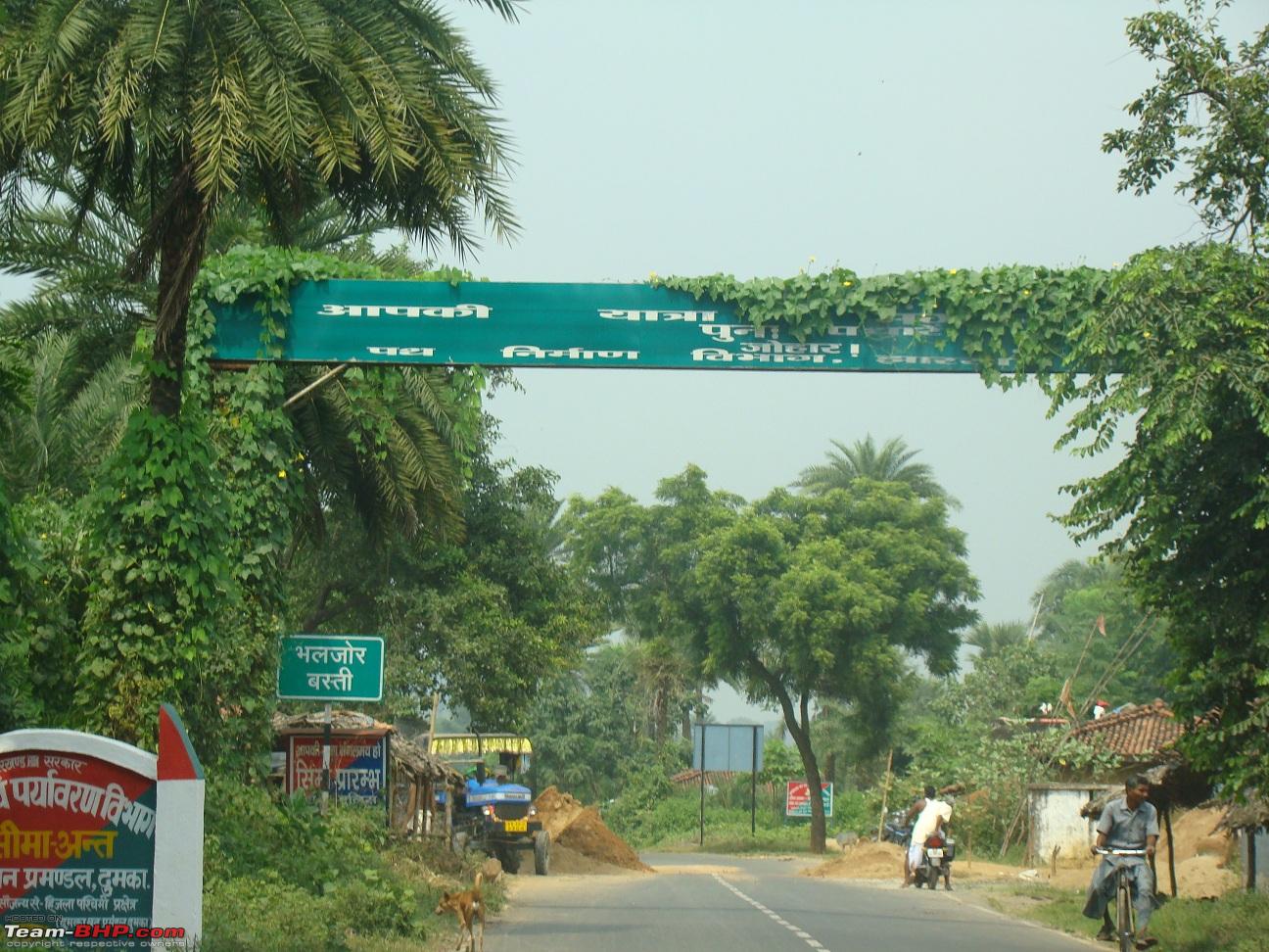
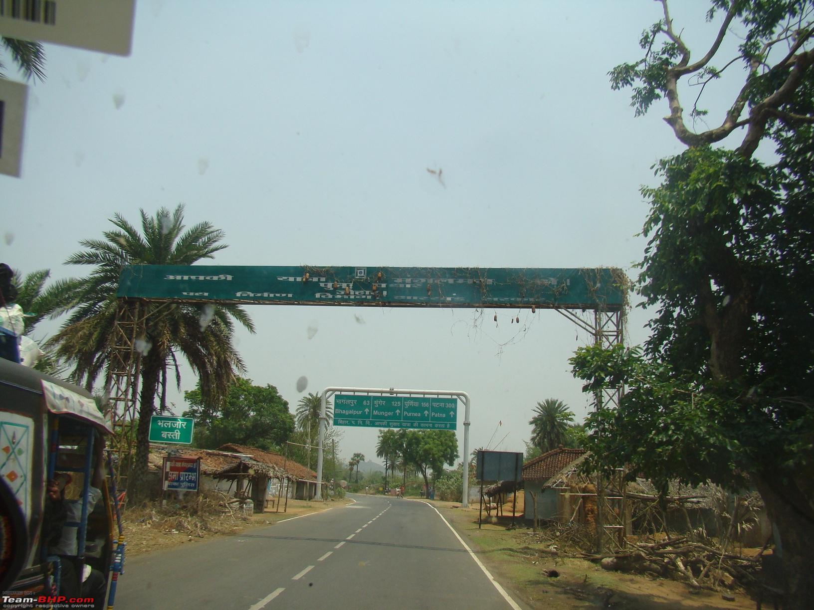
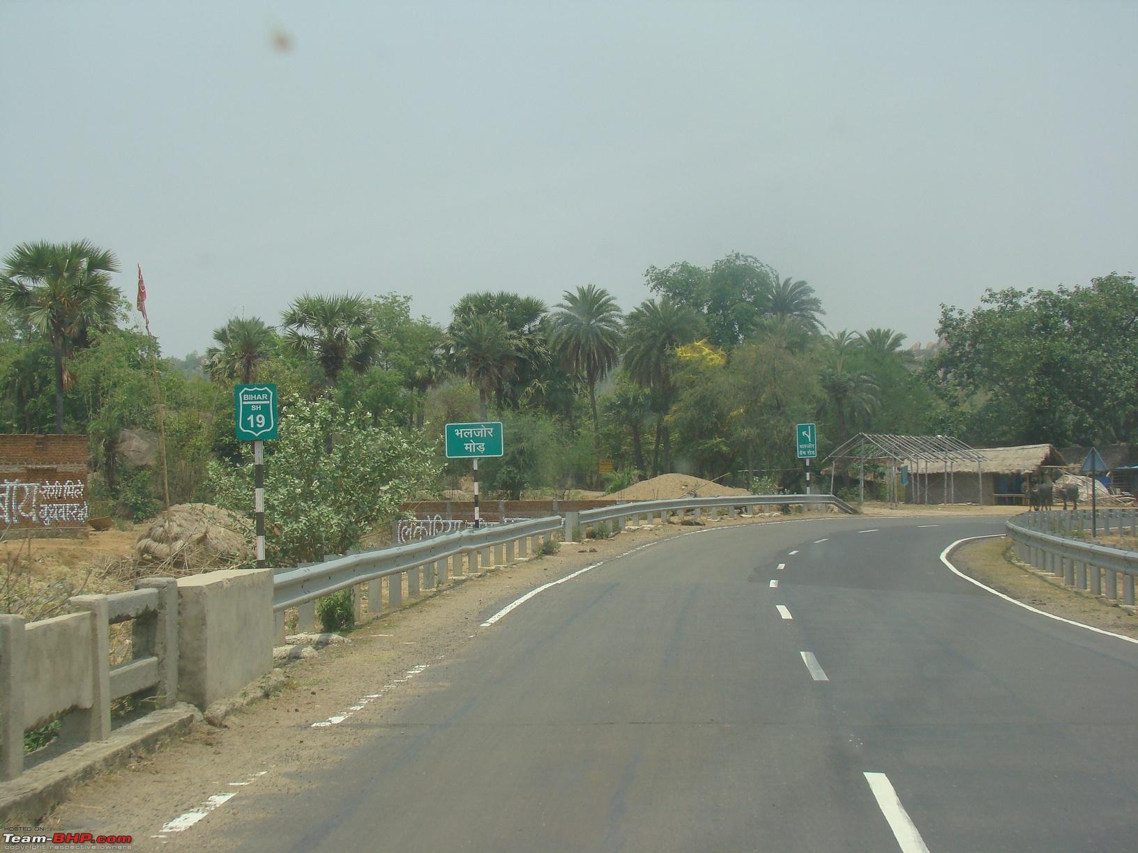
We took a small tea break after crossing Valjore. Soon the road merged with SH23 near Banka road.
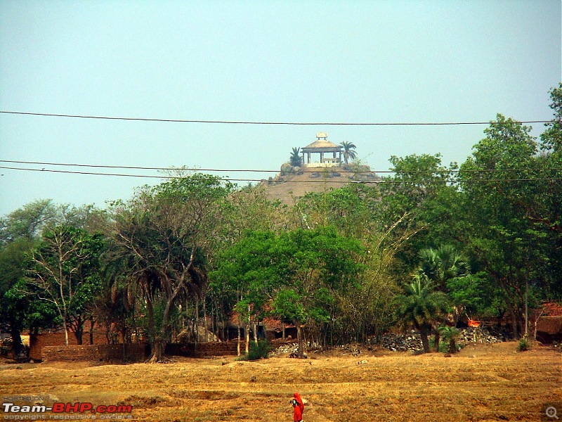
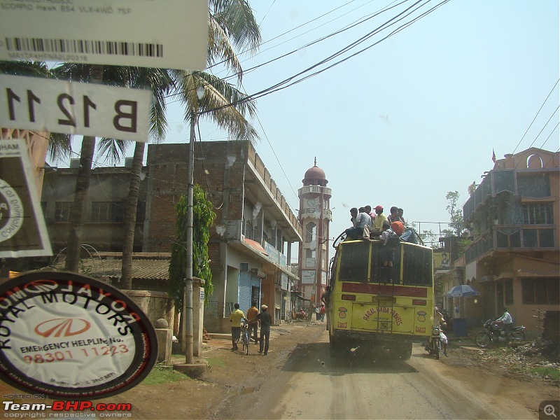
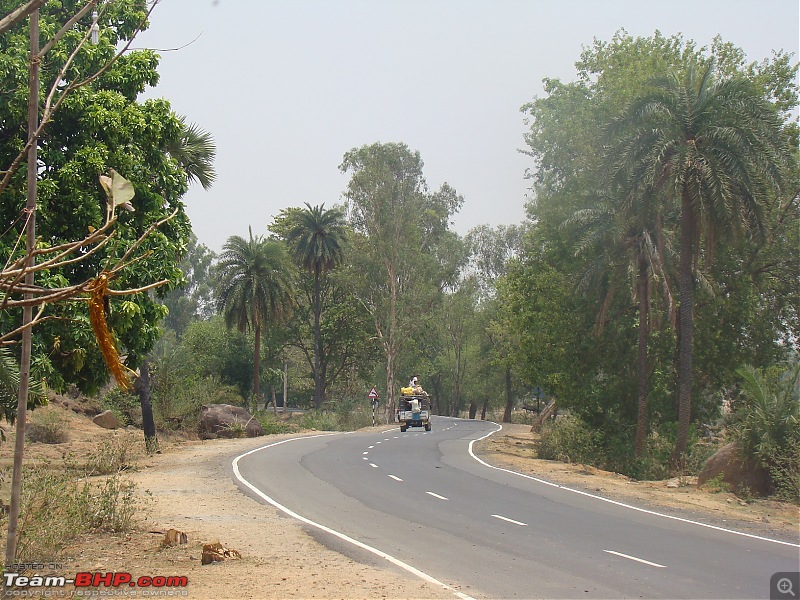
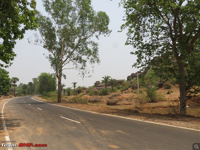
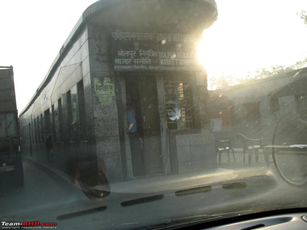
Few more pics

At Banka road, the railway flyover was in shambles last time, looks like it has been resurfaced now. Apart from this last time few of the culverts on this road was not surfaced with expansion joints projecting around 2" above the concrete slabs. This time though, the culverts were smooth, a few of them still did not have the ramps metalled. But nothing to worry about.

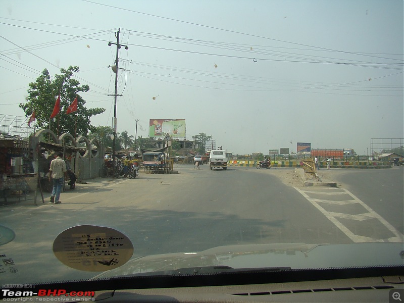
We reached Bhagalpur at 5 mins past noon. Infact its a good time to reach such a congested town. As post noon traffic starts lightening. Sheel had asked me to keep a watch for a right turn, just before I reach the railway flyover. However by the time the flyover comes to the view, the turn is behind you. But right at that point if you make an obtuse angle right turn into another lane there, you will meet up with the road you were supposed to take. Both times we took this turn! Next time I will know how to spot the right right turn. There is a "half-mandir" on the left of this junction on which this turn has to be taken!
Once on this road, another 4 way junction comes up within 700meters or so. One needs to take a left turn here. The moment you turn, you will have a school on the right (as an identifier). Drive straight on this road, will go under railway lines, for around 1.8 kms to Kacheri chowk (Bhagalpur court).
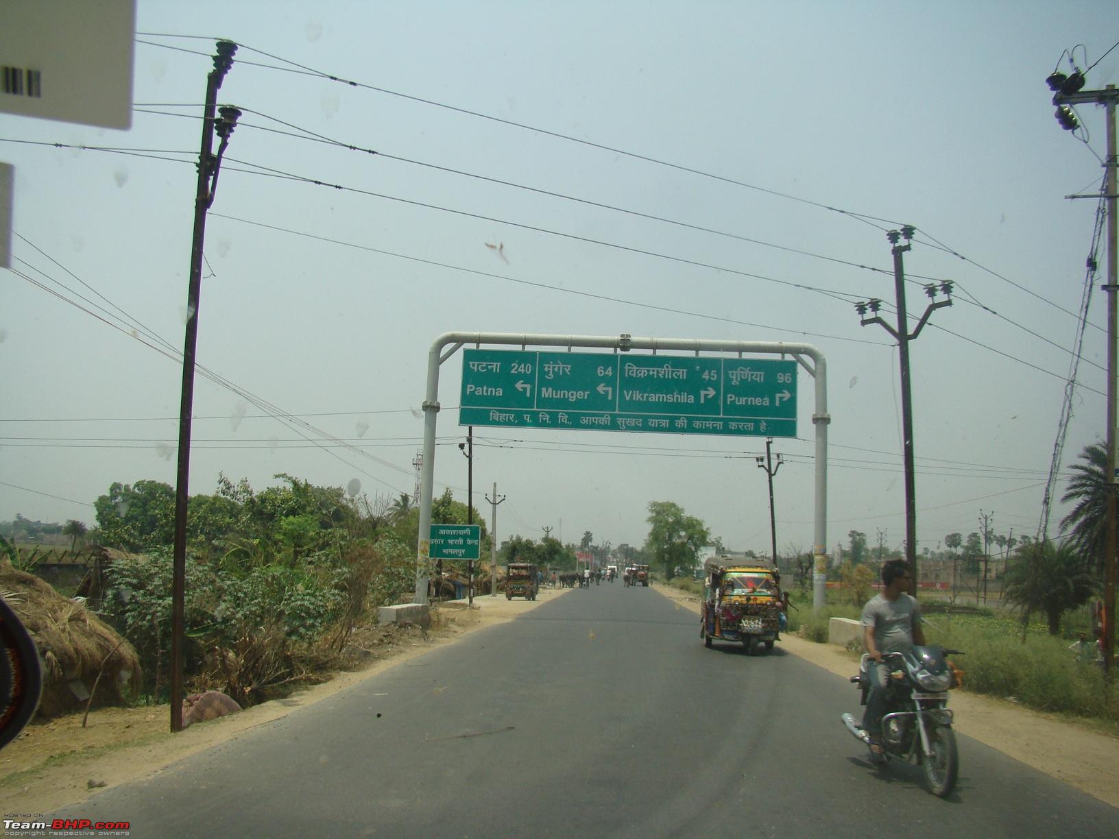
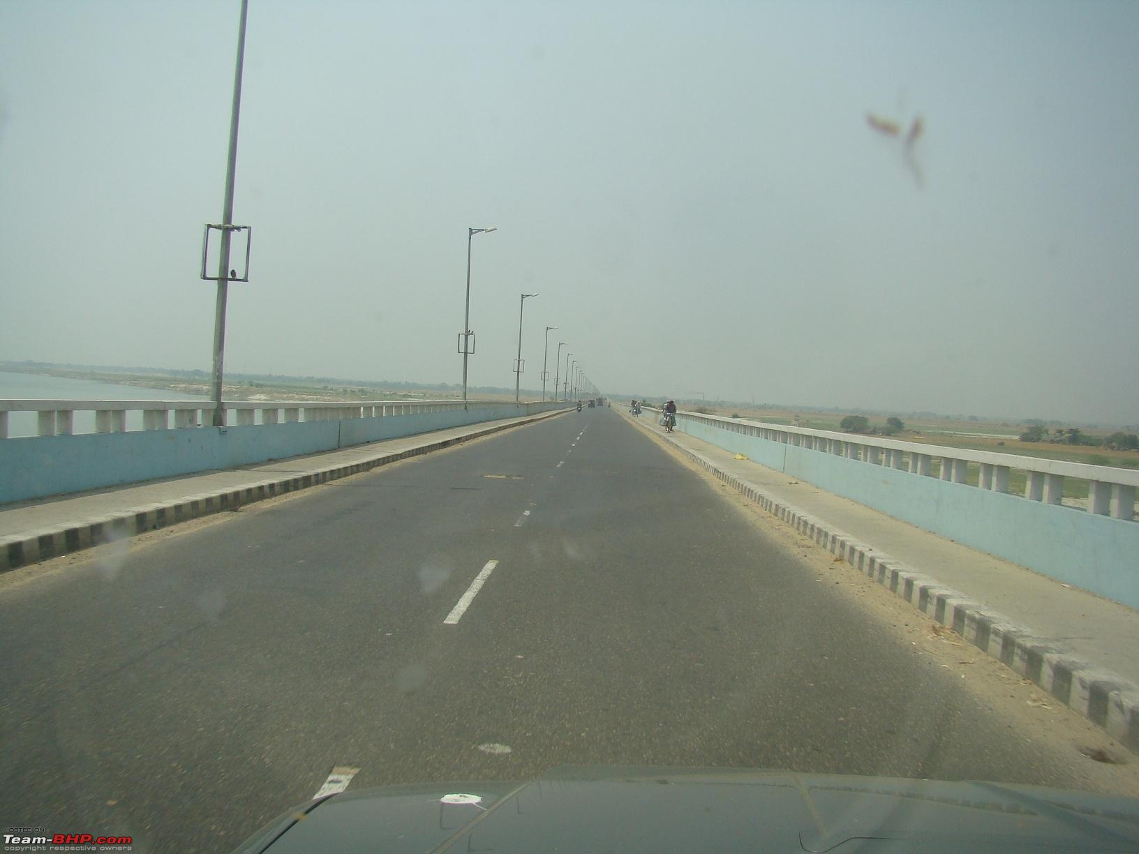
At Kacheri Chowk, take a right turn (you have avoided the core Bhagalpur town area). Another 3.5 kms on this and one will see a wide road going on the left side to the Vikramasila Setu.
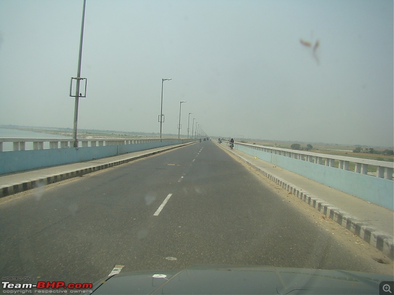
The Vikramsila setu is 3.5 kms long
12 kms from the end of Vikramsila setu is Tulsipur, where one meets NH31 .
Take a right turn. Drive for around 68 kms to reach the entrypoint of Purnea.
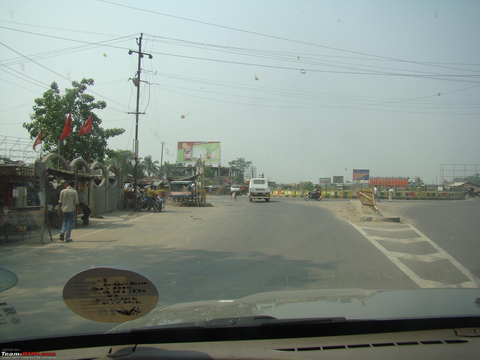
Road on left takes you into Purnea, road on right is NH31, continue on it. 10 kms later comes a huge roundabout.
Take the exit on the right and 4 lane road starts from there.
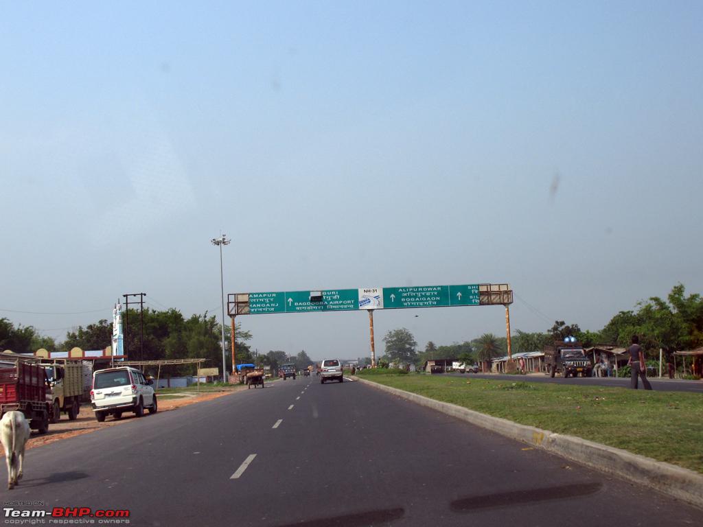
Dalkhola is 35 kms from there but comes up in less than 25 minutes. Beyond Dalkhola its the regular route.
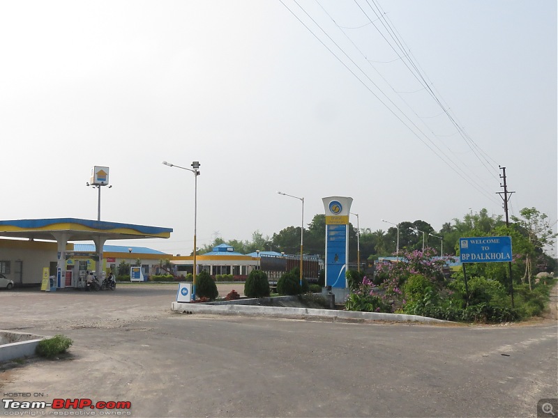
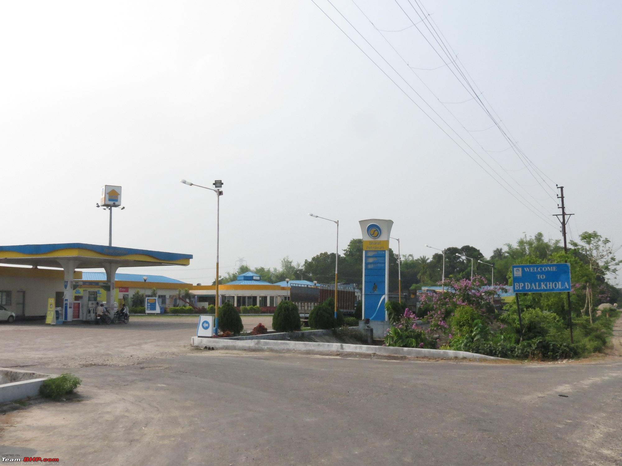
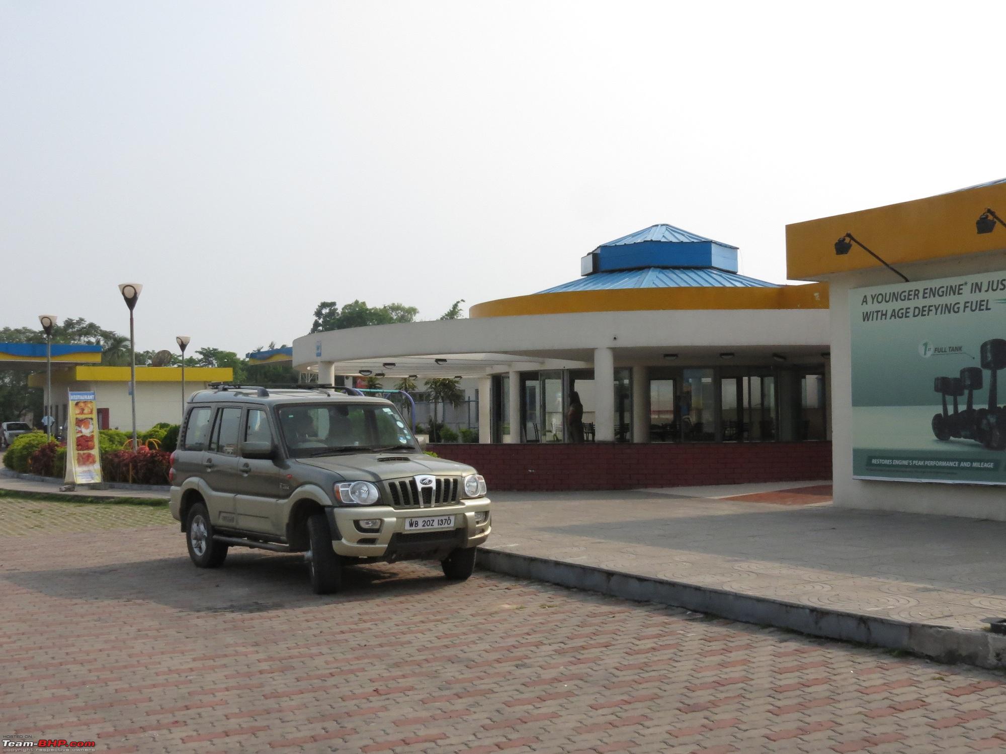
BP Dalkhola is a good place to have lunch, as well as breakfast on the way back.
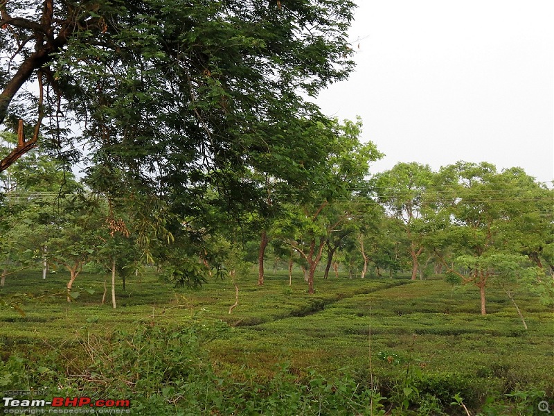
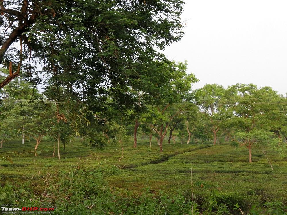
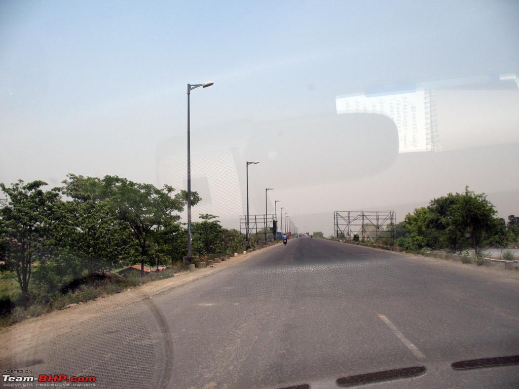
Tea Estate before Bagdogra


 3rd June 2012, 04:36

 (11)
Thanks
(11)
Thanks


 .
. , but definitely this year.