Team-BHP
(
https://www.team-bhp.com/forum/)
Sygic + India maps cost 2k for Android.
Are there any India specific GPS maps that can be used on a TomTom GPS navigator ? If yes, what price ?
Post Deleted by the Team-BHP Support : We have a strict stand AGAINST piracy. Please do NOT post on pirated content or the sources for the same.
Folks, I am looking for a basic GPS navigator for my car. I don't need any extra frills on the device. A basic navigator will do for me. Need suggestion on which device/brand I need to buy.
PS: I am strictly on a budget, looking for a VFM device.
Thanks in advance,
Cheers.
agree:
i too was looking for a basic gps without any extra additions. I picked up the model 'road pilot' from map my india for inr 7900.0 last year
am comfortable and happy with it clap:
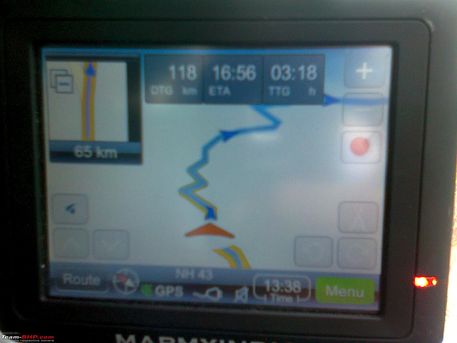
a pic for your reference, further info on mapmyindia site
hope this helps
Quote:
Originally Posted by sachinj12 Folks, I am looking for a basic GPS navigator for my car. I don't need any extra frills on the device. A basic navigator will do for me. Need suggestion on which device/brand I need to buy.
PS: I am strictly on a budget, looking for a VFM device.
Thanks in advance,
Cheers.
|
I would recommend the MMI vx140s to you
4.3 inch screen
Integrated bluetooth handsfree.
And not to forget India's best maps.
And priced reasonable at 10k too.
Also folks just read that MMI has released an upgrade to v 6.1 for their maps.
What do MMI devices run on? Windows or a different OS?
Does it come with an interface S/W for the PC?
How does one do road/route planning on PC and transfer details to the device?
Today it is possible with Garmin Hardware.
Quote:
Originally Posted by ampere What do MMI devices run on? Windows or a different OS?
Does it come with an interface S/W for the PC?
How does one do road/route planning on PC and transfer details to the device?
Today it is possible with Garmin Hardware.
|
The delphi MMI unit i have. Works on windows CE.
And there is a software one can download and plan trips on the computer and load them on the device. I checked it out somewhere. It is pirated though. And hence i do not use it. Though honestly i have not really had a tough time planning my routes on the device itself. Its just a matter of getting the hang of it.
Quote:
Originally Posted by mdsaab
(Post 2449660)
The delphi MMI unit i have. Works on windows CE.
And there is a software one can download and plan trips on the computer and load them on the device. I checked it out somewhere. It is pirated though. And hence i do not use it. Though honestly i have not really had a tough time planning my routes on the device itself. Its just a matter of getting the hang of it.
|
@md,
Then dont you find working with portable devices difficult as against a computer?
Though I agree its just a matter of getting used to it.
Garmin has also the same problem, but there are workarounds which would allow one to interface Mapsource to the GPS device.
(Though its a workaround, its possible).
So I was wondering how is it with MMI (or Satguide) OEM devices.
Quote:
Originally Posted by ampere
@md,
Then dont you find working with portable devices difficult as against a computer?
Though I agree its just a matter of getting used to it.
Garmin has also the same problem, but there are workarounds which would allow one to interface Mapsource to the GPS device.
(Though its a workaround, its possible).
So I was wondering how is it with MMI (or Satguide) OEM devices.
|
Like i.said there is some software available which can be used to plan the trips on the computer. Even for MMI.
Ok.just switched on the device to check.
Its mireo via gps.
So you need to use the windows version.
Yes it is easier to plan and view on the laptop or computer. But like i said. I am now used to planning the trips on the device. So it does not make much of a difference anymore.
I use mapmyindia app on my mobile. Costed 1800 INR. And route planning is easy. No GPRS needed. Only disadvantage is that the map software never gets updated.
If you have an iPhone, then "navfree India" app is one of the best free GPS navigation applications. I am not sure if the same app is available for Android.
I have used it extensively and it will find a way even from the remotest places - Very useful. Its free, gets updated automatically and it downloads and remembers the route - So, it works even if gprs is not available. It works like a typical Garmin device - has POIs, voice guidance, automatic rerouting, etc.
How good these navigators are compared to the one on mobiles? say BB 9700
Quote:
Originally Posted by mdsaab
(Post 2449449)
I would recommend the MMI vx140s to you
4.3 inch screen
Integrated bluetooth handsfree.
And not to forget India's best maps.
And priced reasonable at 10k too.
Also folks just read that MMI has released an upgrade to v 6.1 for their maps.
|
Why not the Road pilot for 7.5k for a budget requirement?
I have a BB 9700
And have used the gps with google maps.
Though decent it is not a speck on a full fledged PND.
First of all you will need gprs if you are using something like google maps.
If coverage of gprs is lost or slow it makes the whole thing pretty useless.
Now say you load the device with maps and hence do not need gprs. The screen size is still painfully small.
Buy a nice PND, you will not regret it.
I use to like 1 device which does everything.
But though it can do everything it's not necessary that it will do everything rather well.
And that makes the difference.
Regarding the roadpilot vs. Vx140s.
I think the road pilot comes with a 3.5inch screen.
Though decent enough a bigger 4.3 inch screen is more than welcome.
2. Bluetooth. Nice feature to have. I have it on my PND but dont use it due to my no phone policy while driving. Be it bluetooth or otherwise.
Overall the extra 2.5k odd extra is well worth it IMHO.
Normally what is the ideal size of PND? is that 4.3 ? I know its subjective, i want to hear opinion of yours in this regard.
| All times are GMT +5.5. The time now is 10:14. | |