| |||||||
| Search Forums |
| Advanced Search |
| Go to Page... |
 |
| Search this Thread |  4,971 views |
| | #1 | |
| Senior - BHPian Join Date: Oct 2014 Location: MH02 to MH46
Posts: 1,666
Thanked: 6,902 Times
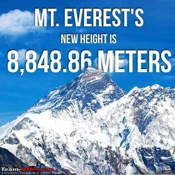
| New height announced for the world's highest mountain - Mount Everest Nepal and China officially announced the new height of Mt Everest after both countries recently measured the world’s tallest mountain. The new height is 8848.86 metres.  This will be the first time the two countries that the mountain straddles are announcing the height, ending controversies regarding its height since it was first measured in 1849 by the British. Between 1849 and 1855, observations were made from Dehradun, India base to Sonakhoda base in Bihar. During these triangulation observations, the Himalayan peaks of Nepal were also observed. At that time it was not known that this peak in the Himalayas is the highest in the world. During computations, the mean computed height of ‘Peak XV’ came out to be 29,002 ft and it was named after Sir George Everest, the ex surveyor general of India. The widely accepted height of 8,848 metres or 29,028 feet was determined by the Survey of India in 1954 from Bihar using the trigonometric method. It was the third survey by India.  Quote:
| |
| |  (1)
Thanks (1)
Thanks
|
| The following BHPian Thanks ruzbehxyz for this useful post: | GTO |
| |
| | #2 |
| Senior - BHPian Join Date: May 2013 Location: Mumbai
Posts: 1,577
Thanked: 6,456 Times
| Re: New height announced for the world's highest mountain - Mount Everest This is a geo-political signal more than anything else. China wants to hint to India that Nepal and them are working closely on all matters. |
| |  (4)
Thanks (4)
Thanks
|
| The following 4 BHPians Thank 2000rpm for this useful post: | alpha1, GTO, ruzbehxyz, Storm2.0 |
| | #3 |
| Senior - BHPian Join Date: Oct 2014 Location: MH02 to MH46
Posts: 1,666
Thanked: 6,902 Times
| Re: New height announced for the world's highest mountain - Mount Everest Recently, China and Nepal announced that Mount Everest is 86 cm taller than the 8,848 m accepted globally so far. So, how is original height calculated and what does the revision mean, we take a look.  The first recorded attempt at measuring the Everest using modern calculations had come in 1856, when surveyors commissioned by the then Surveyor General of India George Everest estimated its height at 29,002 feet. Without going into the sines and cosines of the craft, suffice it to say that using accurate measures of distance and multiple readings of angles from different positions, it is possible to use trigonometry to determine the elevation of any feature. A key instrument in this exercise is the theodolite, which helps in measuring angles. It is much like an instrument you may have observed engineers use in road building. As it turned out, the height determined by officials of the British Raj was quite close to the one Indian officials would compute in the 1950s using more modern instruments: 29,028 feet, or 8,848 metres. It is still the most cited figure for Everest's height.  NOW, EXPERTS ARRIVE AT HEIGHTS USING GPS The key tool employed by Chinese and Nepalese surveyors was a GPS receiver, which was carried to the top of Everest. The factor of time taken for signals to travel from the receiver to multiple satellites and the distance of these satellites from fixed objects provides a highly accurate approximation of the location and elevation of the peak. 170 years ago, Everest's crew, led by mathematician Radhanath Sikdar, solved the problem of sea level by actually working their way up from the Bay of Bengal by employing a network of line-of sight stations until Everest itself was visible and could be measured using trigonometric formulae. Another factor that proves contentious is whether to calculate the depth of the snow on a mountain peak as part of its height. The Nepalese surveyors used a ground-penetrating radar to actually measure the height of the snow standing on top of Everest's rocky crest but in the past it has been debated whether the snow should be part of the calculation.  HOW SEA LEVEL IS MEASURED To accurately determine sea level while interpreting GPS data, scientists now rely on two models that conceptualise the shape of the Earth: ellipsoid, which presents the Earth's surface as smooth and uniform and is used to measure geographical coordinates; and geoid: a model that takes into account gravity and how it impacts sea levels and how the rotating Earth bulges at the Equator and flattens at the poles. The geoid model is a close proxy for mean sea level. Calculations involving the ellipsoid and geoid heights finally give the orthometric height, or the height above sea level. Source: National Geographic, NOAA, Slate, media reports. Source link: https://m.timesofindia.com/india/how...m_campaign=TOI Last edited by ruzbehxyz : 15th December 2020 at 10:59. |
| |  (1)
Thanks (1)
Thanks
|
| The following BHPian Thanks ruzbehxyz for this useful post: | Tgo |
 |

