

 11th December 2014, 13:12
| #1 |
| BHPian Join Date: Jul 2011 Location: Navi Mumbai
Posts: 408
Thanked: 610 Times
| |

|  (3)
Thanks (3)
Thanks
|


| |
|
11th December 2014, 14:55
| #2 |
| BHPian Join Date: Jul 2011 Location: Navi Mumbai
Posts: 408
Thanked: 610 Times
| |
|
| (1)
Thanks
|


|
11th December 2014, 16:19
| #3 |
| BHPian Join Date: Jul 2011 Location: Navi Mumbai
Posts: 408
Thanked: 610 Times
| |
|
| (1)
Thanks
|


|
11th December 2014, 17:14
| #4 |
| BHPian Join Date: Jul 2011 Location: Navi Mumbai
Posts: 408
Thanked: 610 Times
| |
|
| (2)
Thanks
|


|
11th December 2014, 18:03
| #5 |
| BHPian Join Date: Jul 2011 Location: Navi Mumbai
Posts: 408
Thanked: 610 Times
| |
|
| (5)
Thanks
|
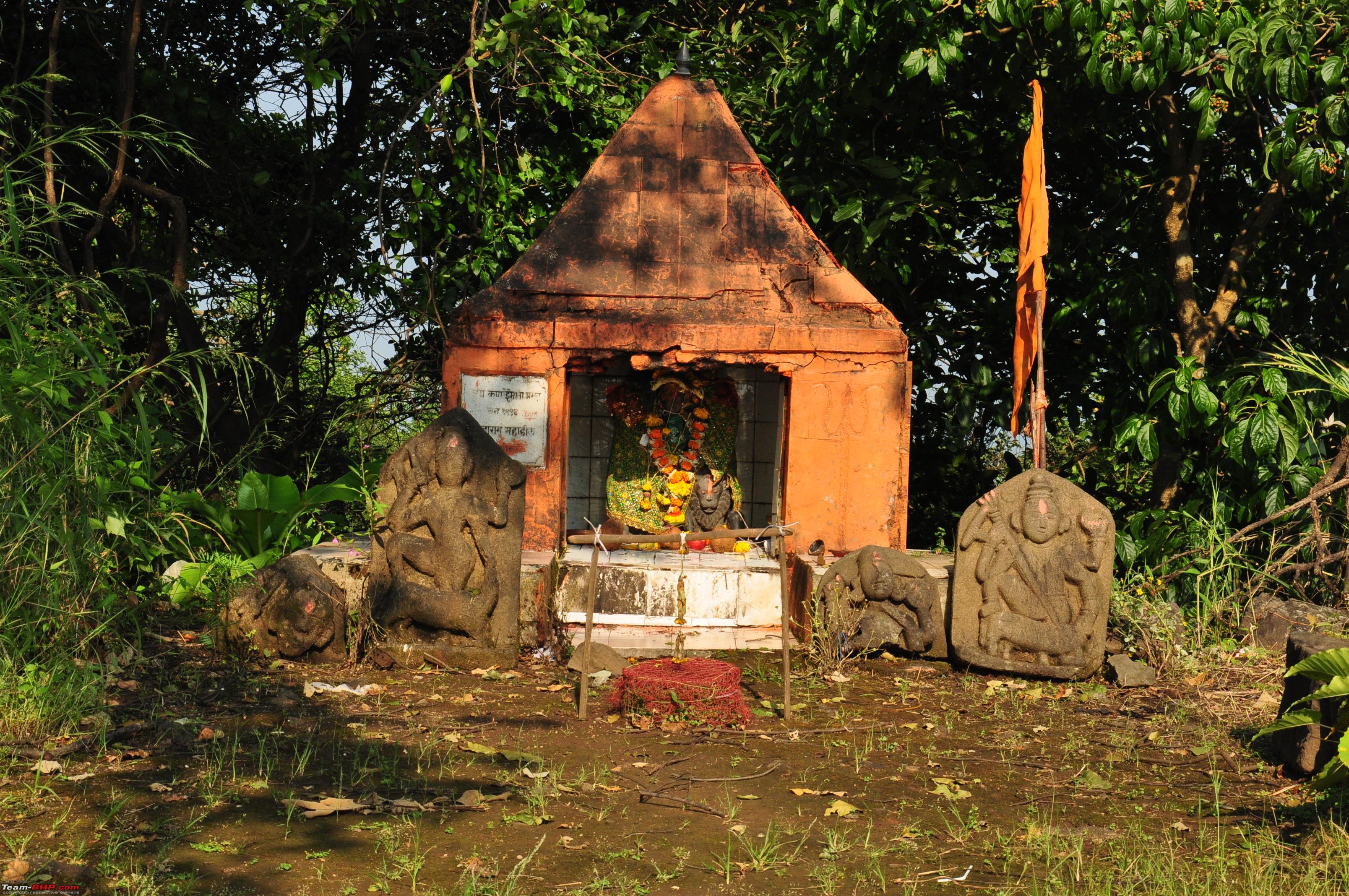
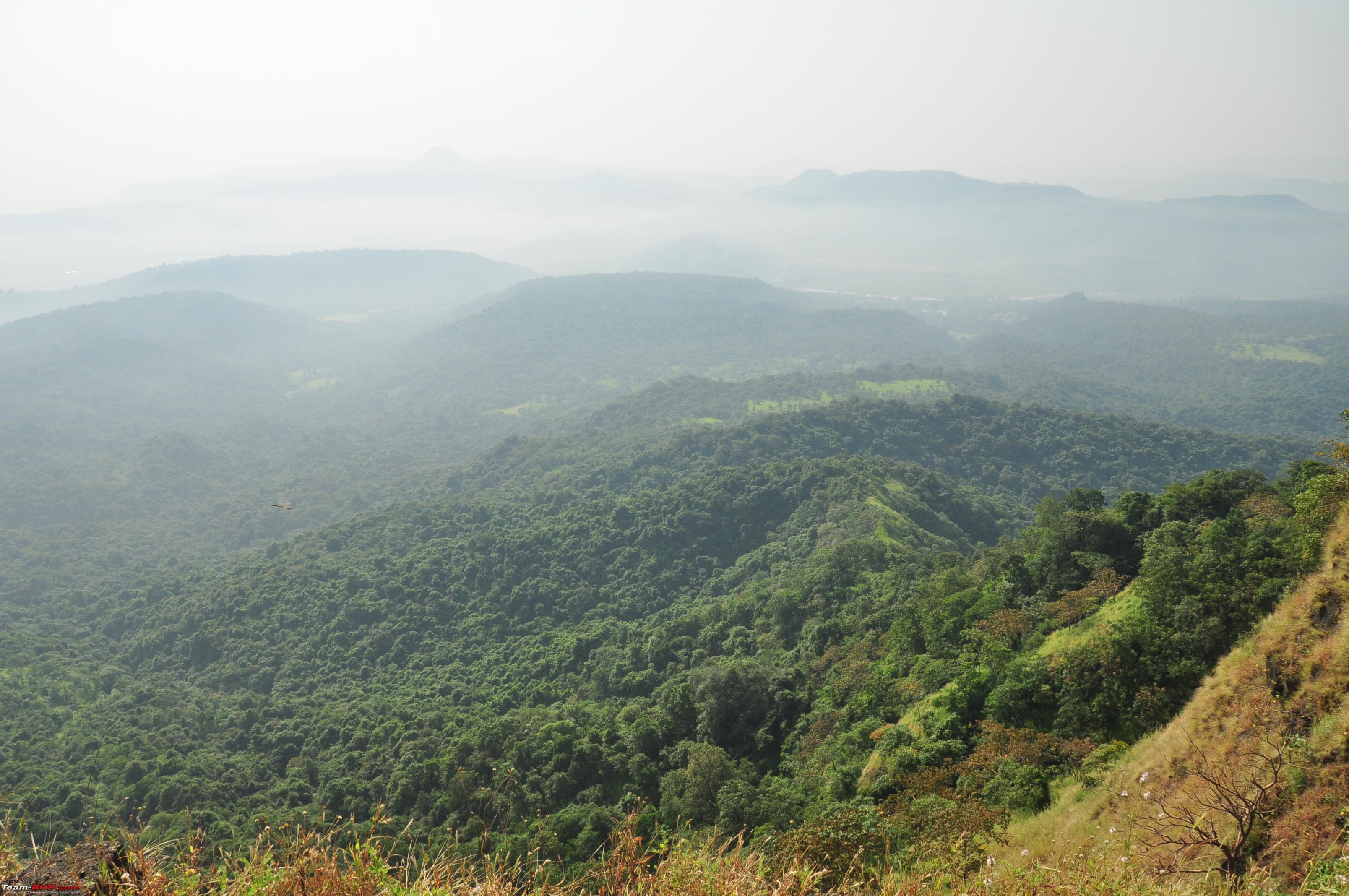
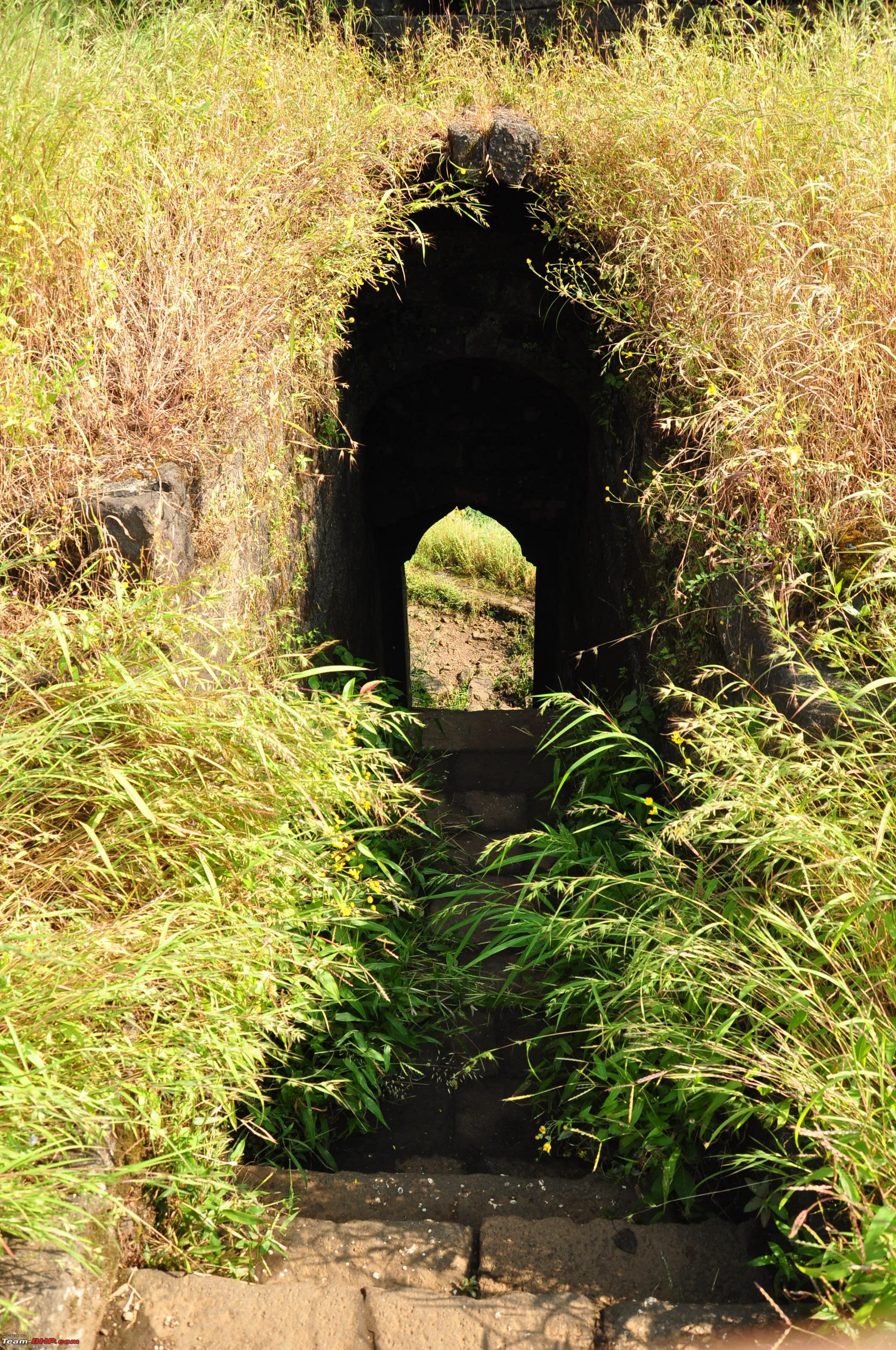
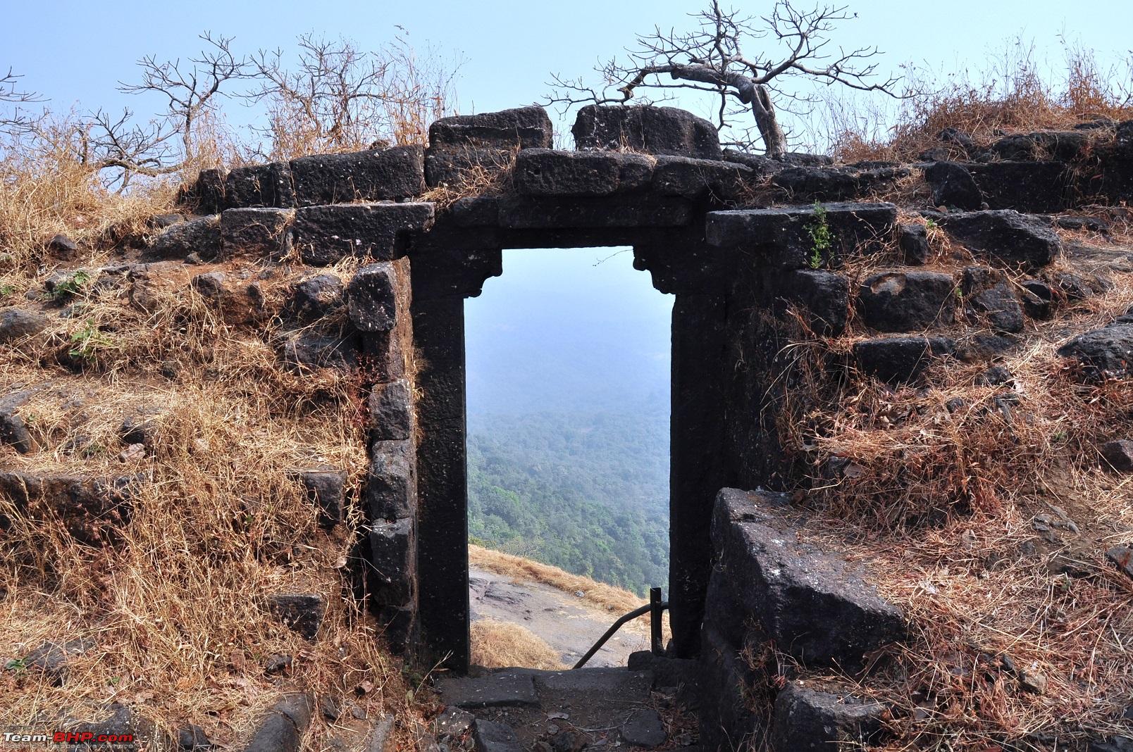
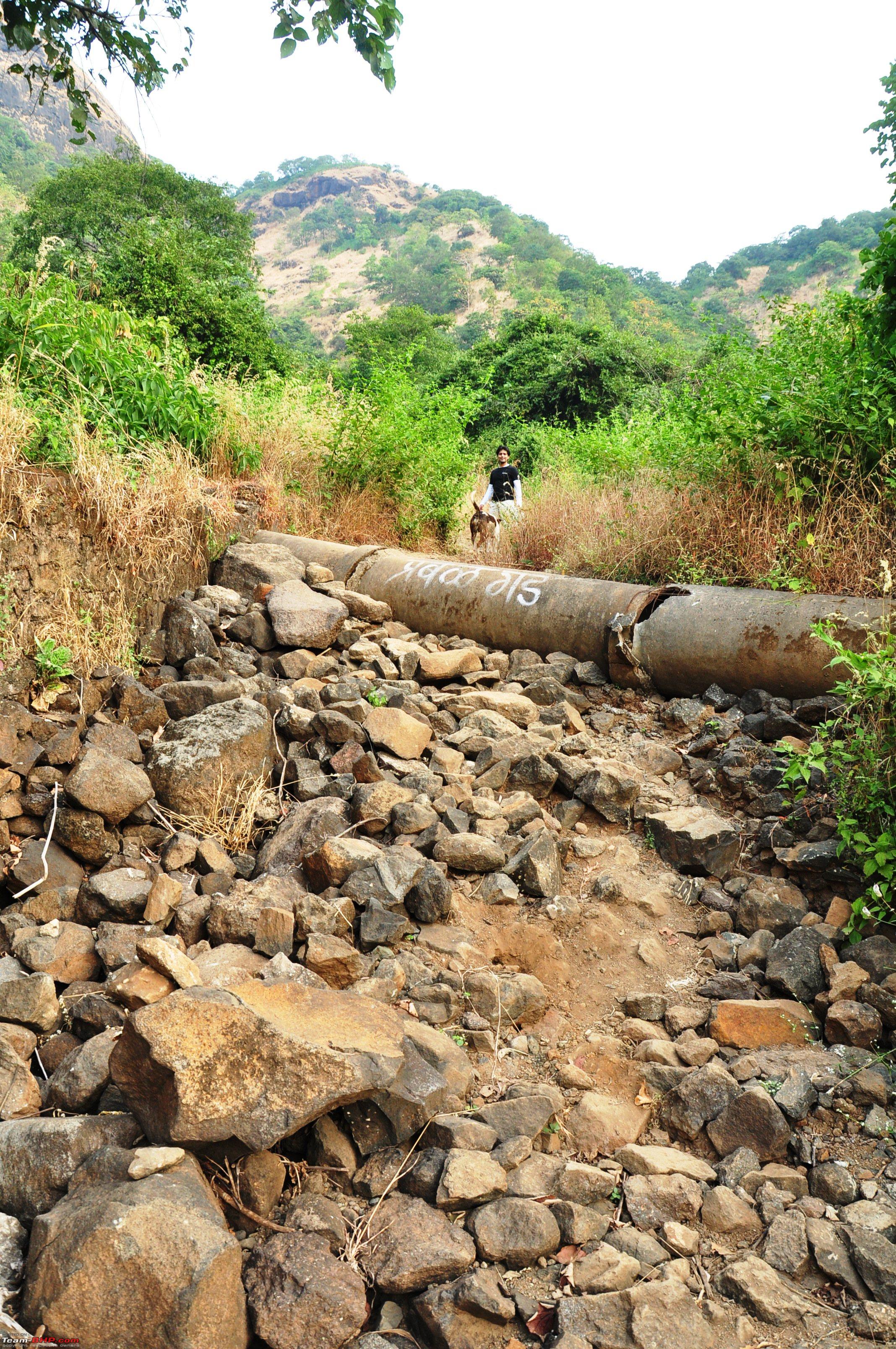
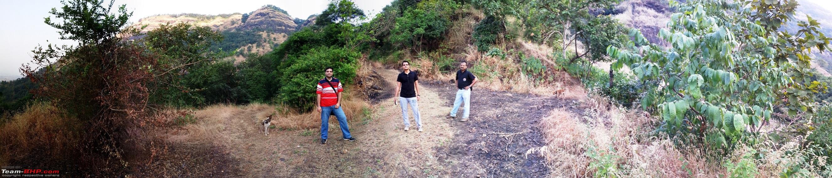
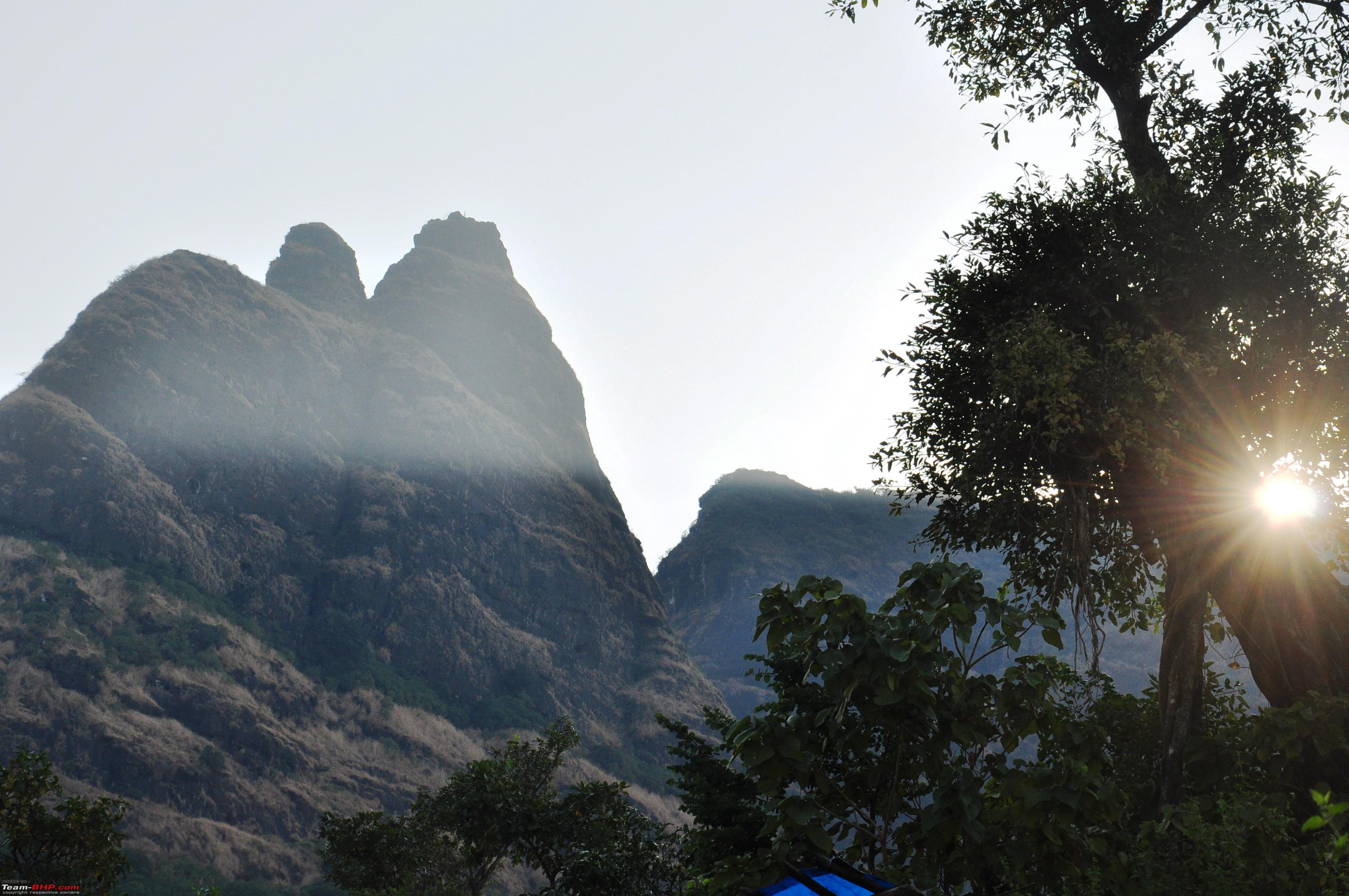
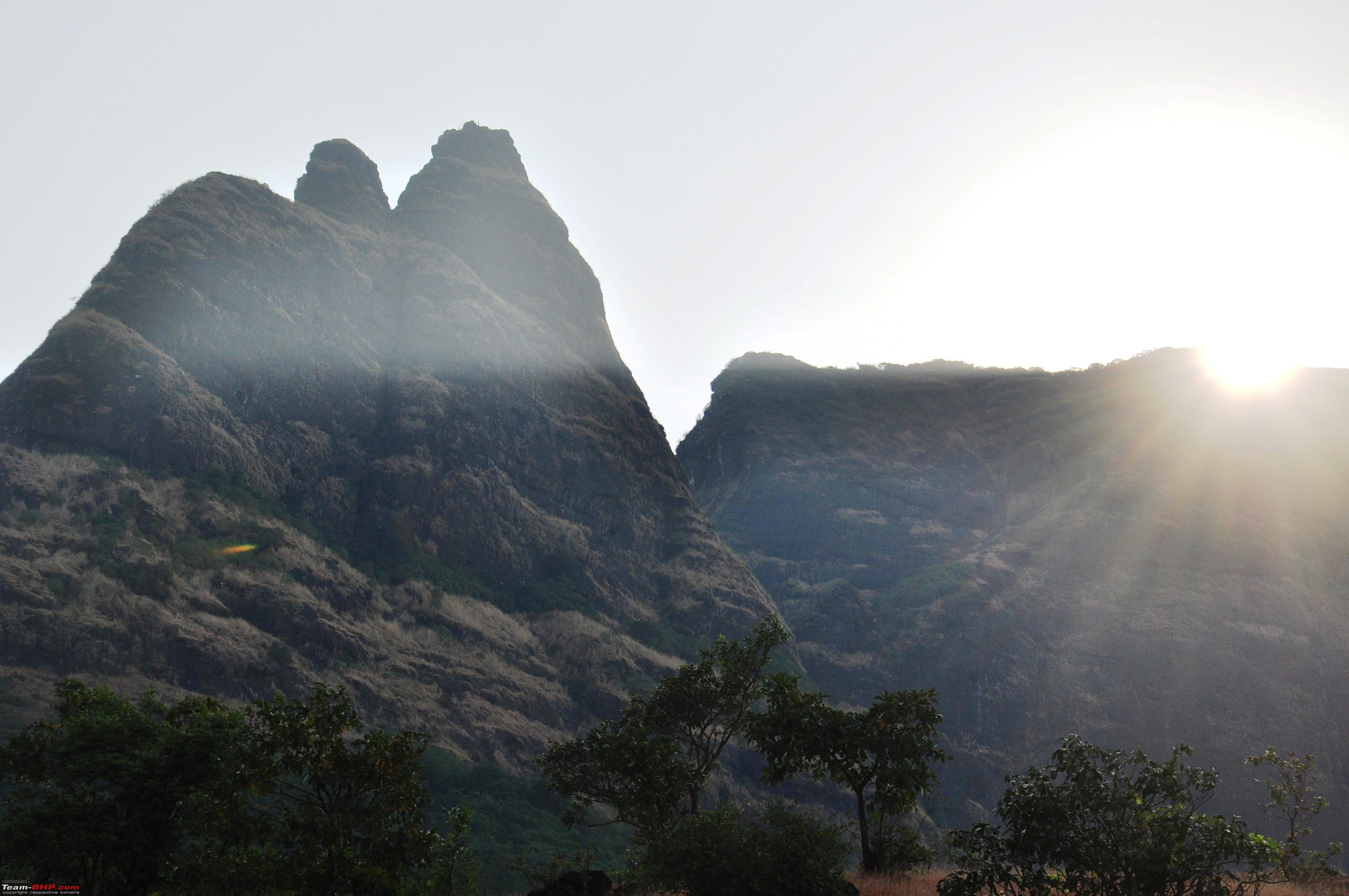
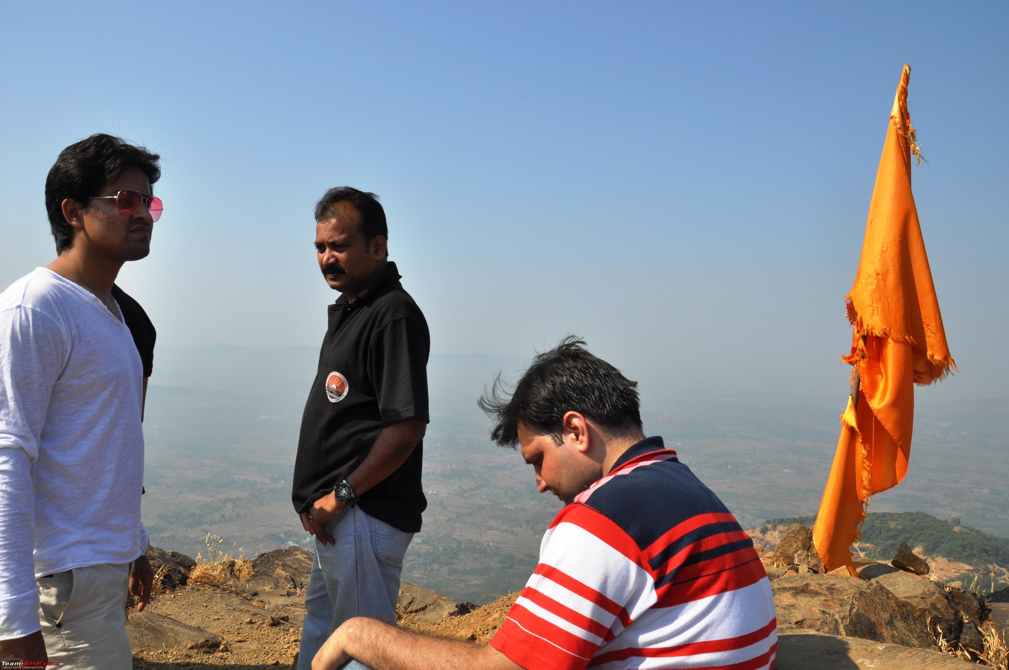
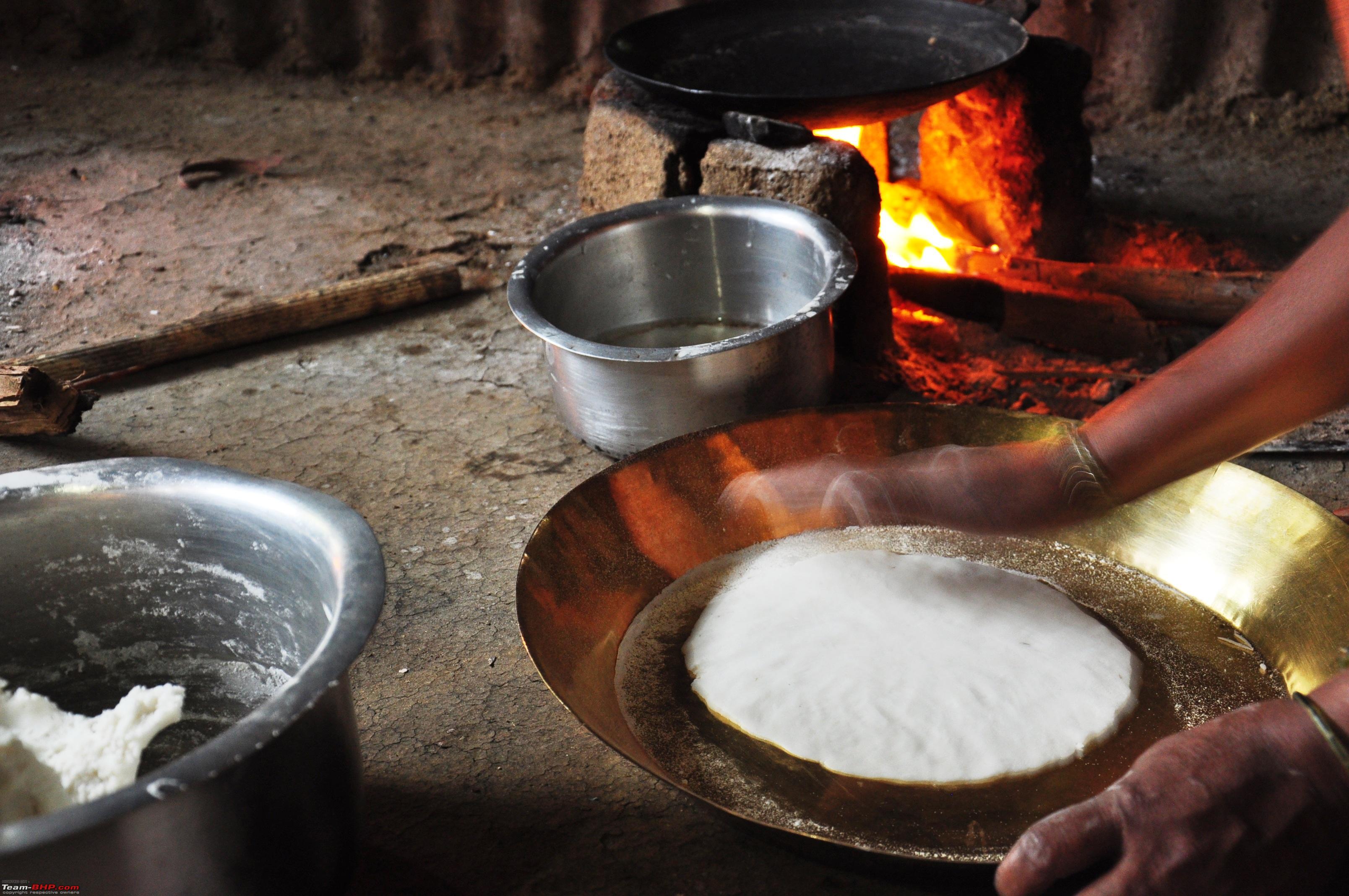
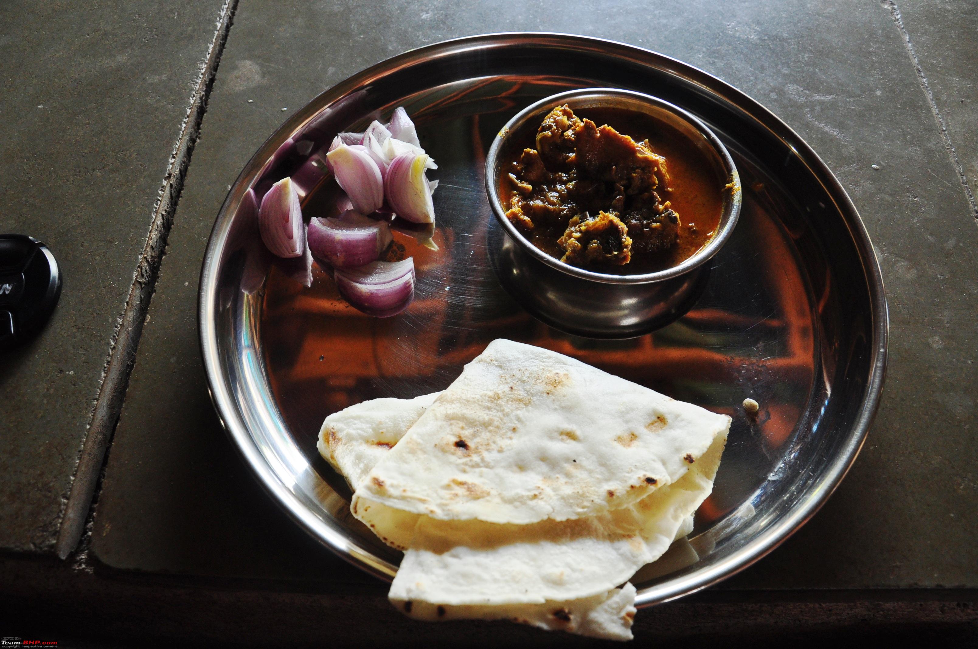
 and proceeded to explore the fort. Wait - not before we check our emails and send sms to our better halves that we are all ok!


|
11th December 2014, 18:08
| #6 |
| BHPian Join Date: Jul 2011 Location: Navi Mumbai
Posts: 408
Thanked: 610 Times
| |
|
| (1)
Thanks
|

|
12th December 2014, 16:09
| #7 |
| Team-BHP Support  | |
|
|
|
15th December 2014, 17:45
| #8 |
| BHPian Join Date: Jul 2011 Location: Navi Mumbai
Posts: 408
Thanked: 610 Times
| |
|
| (1)
Thanks
|


|
15th December 2014, 21:08
| #9 |
| BHPian Join Date: Nov 2009 Location: Ahmedabad
Posts: 163
Thanked: 181 Times
| |
|
|
|
16th December 2014, 15:50
| #10 |
| BHPian Join Date: Jul 2011 Location: Navi Mumbai
Posts: 408
Thanked: 610 Times
| |
|
|


|
16th December 2014, 16:56
| #11 |
| BHPian Join Date: Jul 2011 Location: Navi Mumbai
Posts: 408
Thanked: 610 Times
| |
|
|


 . That was the last straw, the camera had to go!!


| |
|
16th December 2014, 17:41
| #12 |
| BHPian Join Date: Jul 2011 Location: Navi Mumbai
Posts: 408
Thanked: 610 Times
| |
|
|


|
16th December 2014, 18:09
| #13 |
| BHPian | |

|
|
17th December 2014, 09:40
| #14 |
| BHPian | |
|
|
|
17th December 2014, 10:18
| #15 |
| BHPian Join Date: Jul 2011 Location: Navi Mumbai
Posts: 408
Thanked: 610 Times
| |
|
|

 |
Most Viewed