Hello Everyone,
Hope all of you are doing great. This is my first thread on Team-BHP.
I have been following Team-BHP for the last 6-7 years and have got immensely helpful information from all kinds of posts. So, I thought of sharing whatever little experience I have with the community.
I don't have good writing skills. My narration cannot tell a story, nor do my pictures know how to talk. So, mostly my thread will be a kind of a diary or logbook with some photos. Hope you will bear with me.
I live in Tezpur (Assam), very close to the mesmerizing north eastern state of Arunachal Pradesh - exactly 75 km from the bordering town of Bhalukpong. Since my school pass-out days in 1999, I had been planning to visit this Himalayan paradise, particularly Tawang. The following Arunachal circuits had always been on my mind:
- Bomdila, Dirang, Sela Pass, Tawang, Zemithang
- Itanagar, Ziro, Koloriang / Daporijo
- Silapathar, Along (Aalo), Menchukha
- Pasighat, Yingkiong, Gelling, Tuting
- Roing, Mayudiya, Hunli, Anini
- Namsai, Parsuram Kunda, Hayuliang, Walong, Kibithu
- Jairampur, Nampong, Pangsau Pass and Namdapha National Park
But, none of them materialised until 2012! Yes, you read it correct, this trip is from 2012. But my work :deadhorse did not allow me to jot it down for fellow BHPians.
One of my senior colleague proposed on 22nd of December to visit Roing and Mayudiya. This was coinciding with the coming weekend. I had exhausted all my leaves for the year already. But thought, enough is enough. Since the wish is in my mind and planning for years is not yielding any result, let's not miss this sudden opportunity, even if my pay gets cut.
Mayudiya, which is famous as the abode of clouds and being the
nearest place from the plains of Assam where one can experience snowfall (aerial distance is just 22 km, and road distance of 56 km from plains of Roing town), cannot be missed this time. So, the plan was made by a more resourceful colleague who has an uncanny knack of networking with people and establishing contacts in the remotest part of the country.
The plan went like this:
Saturday : Start from Golaghat and stay the night at Dibru-Saikhowa resort, around 220 km away. Hire a cab and guide from the resort for the Arunachal Pradesh trip.
Sunday : Start as early as possible and reach Dhola ghat to catch the first ferry to cross Brahmaputra/Lohit river. Reach Roing before dusk.
Monday : Take day-long trip to Mayudiya and return to Roing.
Tuesday : Return to Golaghat via a different route - visiting Tezu and Parasuram Kunda.
For now, though on the same route, a visit to Anini had not been planned due to lack of time. It would have taken an additional 2 days.
One more disclaimer here:
These days, when one cannot live without mobile phones, BHPians have attained stupendous feats by making trips to far-flung areas, where even BSNL landline does not remain functional or is even totally absent in some places - that too by self-driving their own cars and taking along their families, kids included (adc's 'Safari 2.2 VTT-TMT -4500 km self-drive Central Arunachal' and SS-Traveller's 'Road trip to The Middle of Nowhere... ' can never fade away from my mind). I probably do not deserve to be a BHPian at all, because I prefer to travel in a hired vehicle and take short trips only!
So, here goes my logbook:
Day 1:
Started at around 10:00 AM and reached the resort near Tinsukia town in the afternoon after a relaxed driving with multiple stops in the meager 245 km on the NH-37.
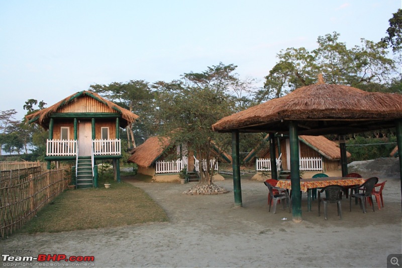
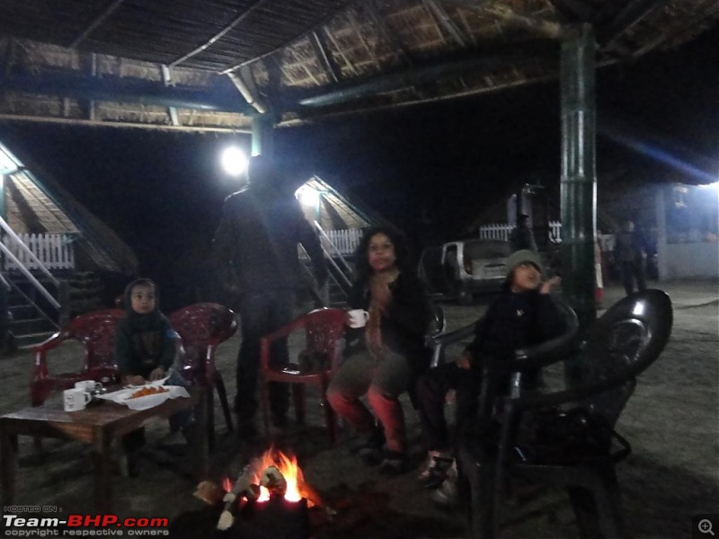
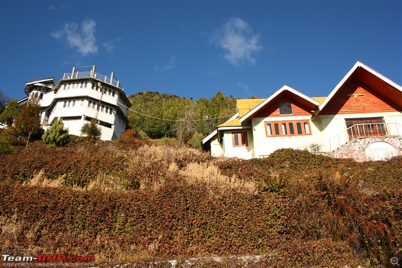
Here's the Banashree Resort at Dibru-Saikhowa:
Had a bonfire at night:
Day 2:
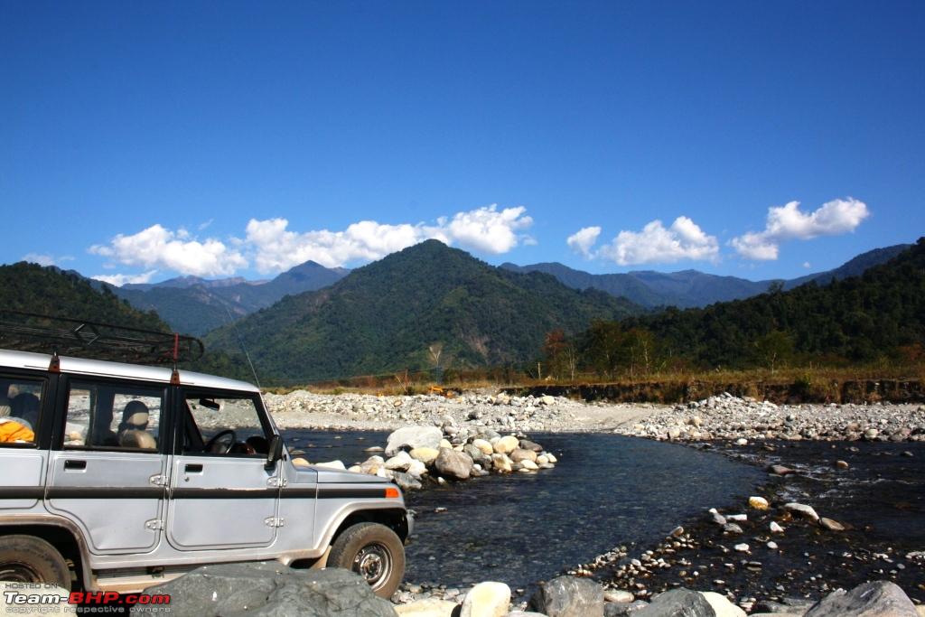
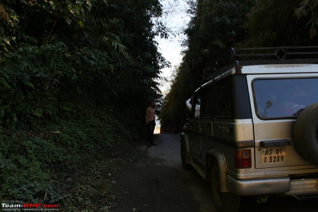
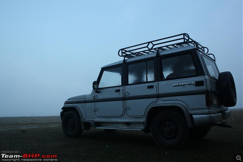
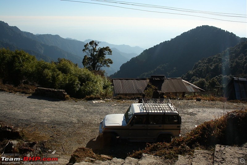
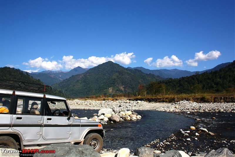
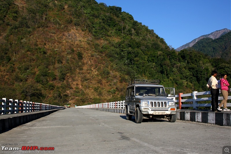
We started at 7:00 AM from the resort. Our ride to Mayudiya, the bare-bone but trusty workhorse:
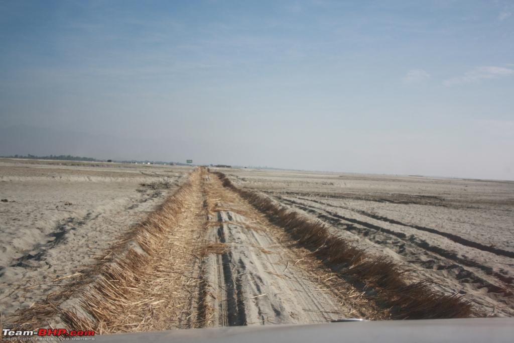
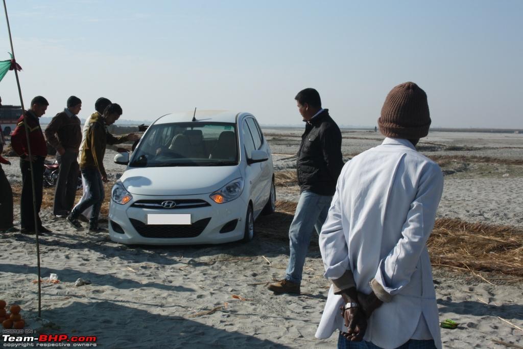
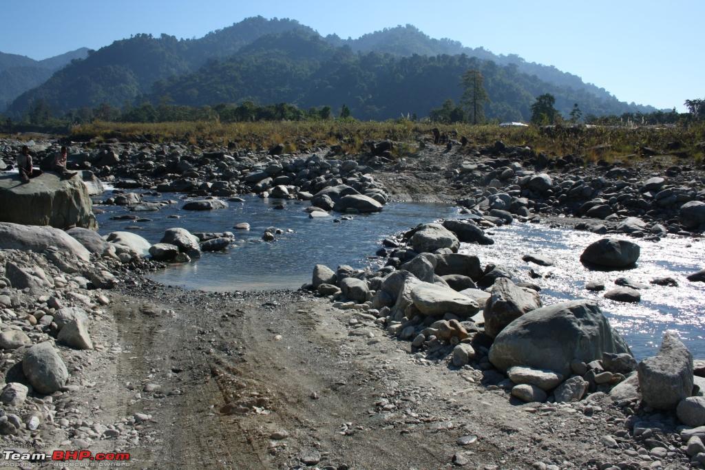
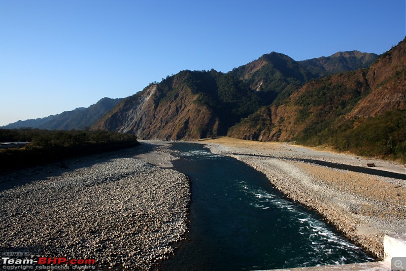
We reached Dhola Ghat (port) on the bank of Lohit river after about an hour. We needed to cross the river on ferry, as the work on now famous Dhola-Sadiya bridge was in progress at that time. About 5 km of driving through the sand and we reached the river bank at around 8:30 AM:
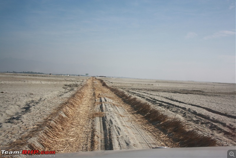
Never venture even an inch from the hay-laid track or one will end up stuck in the sand:

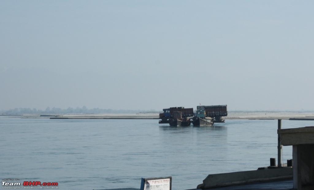
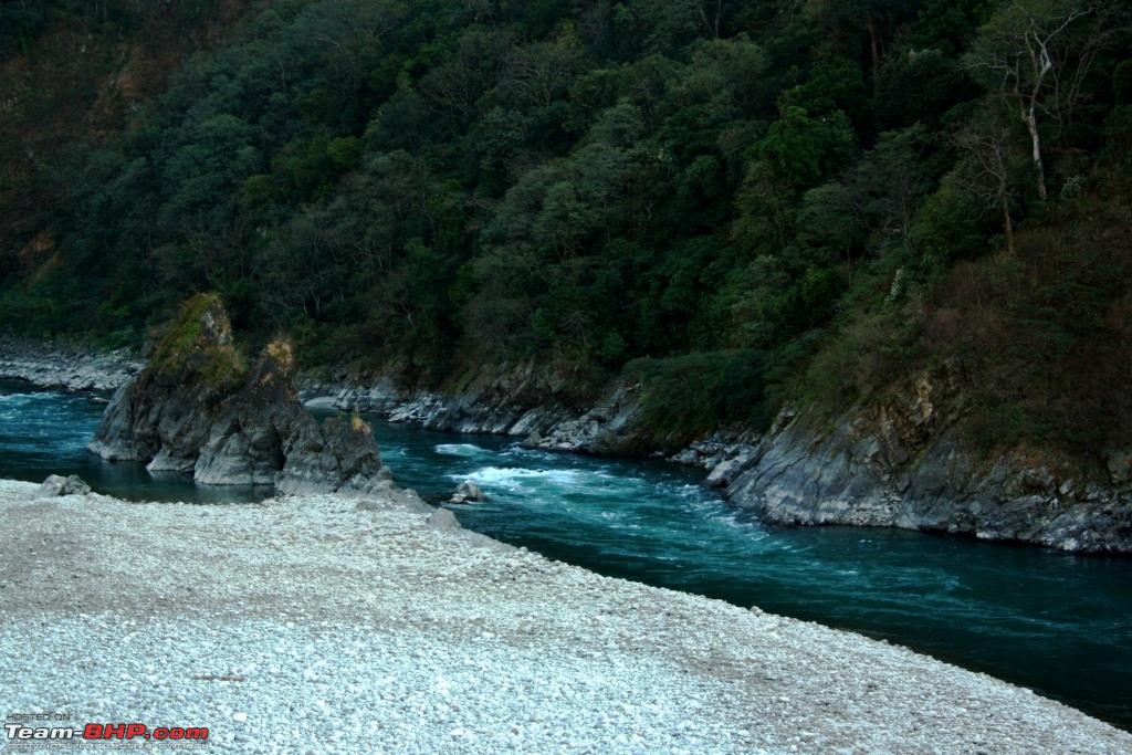
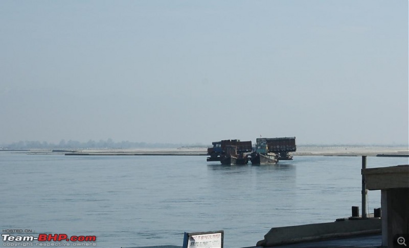
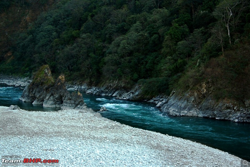
Crossing river Lohit. This is how trucks are ferried across the mighty Lohit, with the bulk dangerously overhanging above the water:
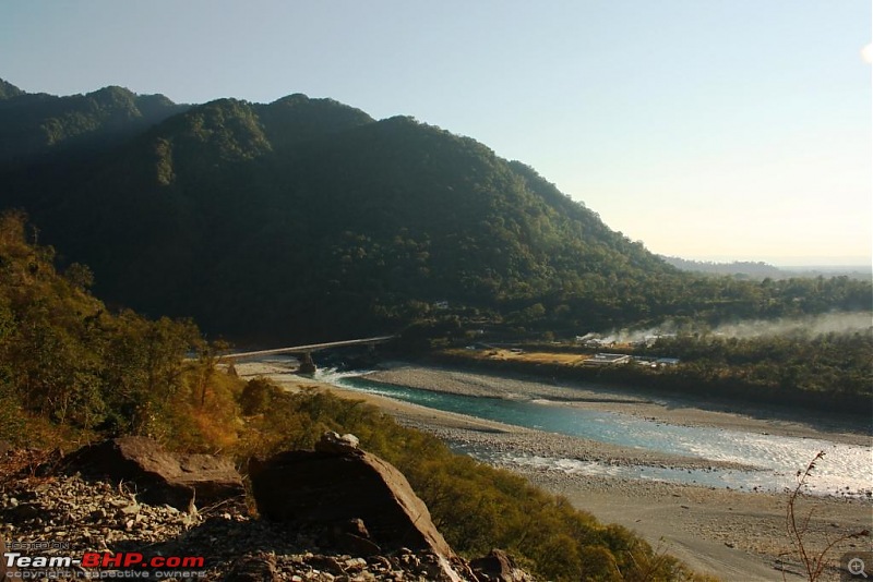
Approaching Roing. My heart skipped a beat thinking about the dream going up the mighty Himalayas becoming a reality now. I was so close to the paradise yet so far till now:
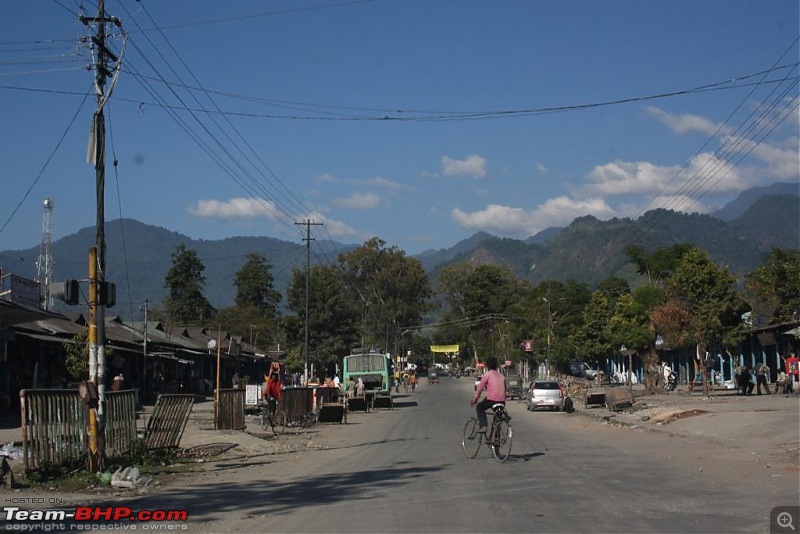
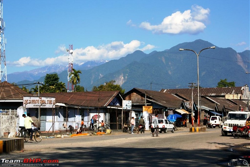
Roing town main road. Nothing much to write about the town, except that it is situated in the Himalayan foothills and is the gateway to the mystical abode of clouds - Mayudia.
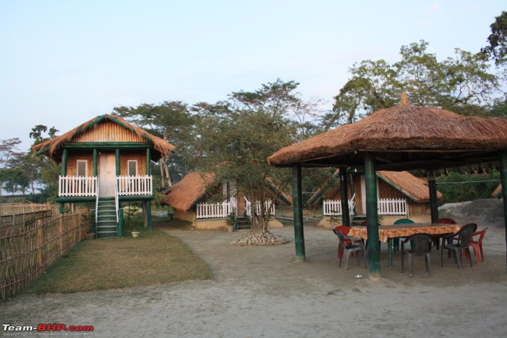
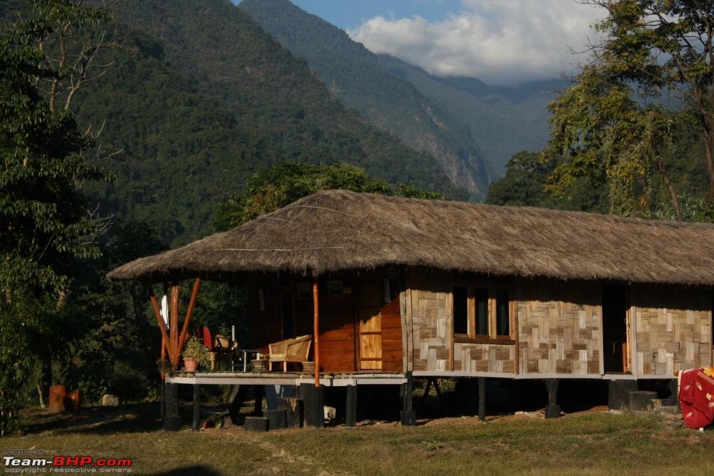
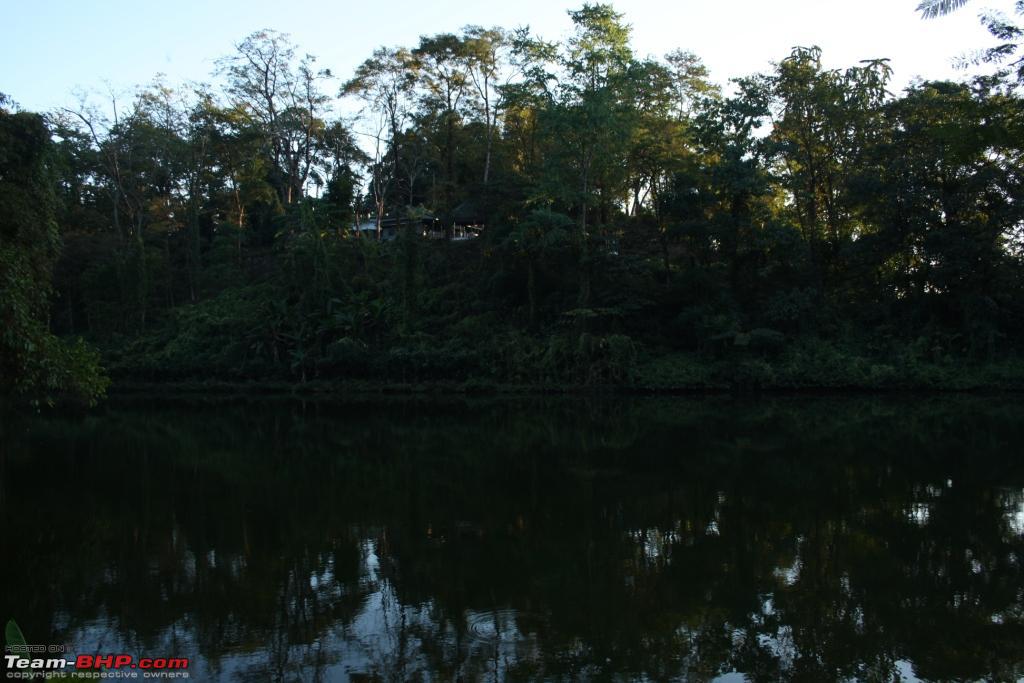
Our resort - The Mishmi Hills Resort set on a very picturesque location on the bank of river Ezhe. The owner is the much venerated Mr. Jibi Pulu of Roing:

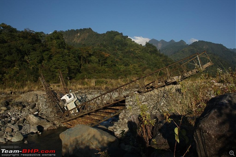
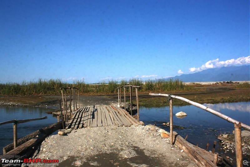
In the evening, we took a walk around Roing town. We saw that the only bridge over the river Ezhe on the road to Mayudiya was just damaged by a crashed dumper. Our trip suddenly became uncertain:
Day 3:
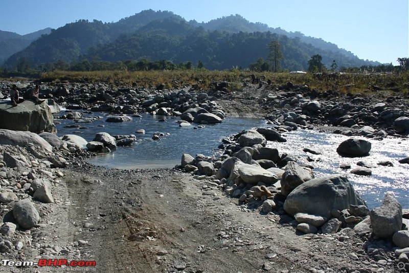
It started with a fading hope of making it to Mayudiya. However, to our delight a makeshift road was carved out over the river bed overnight, and our Bolero made it without much effort:
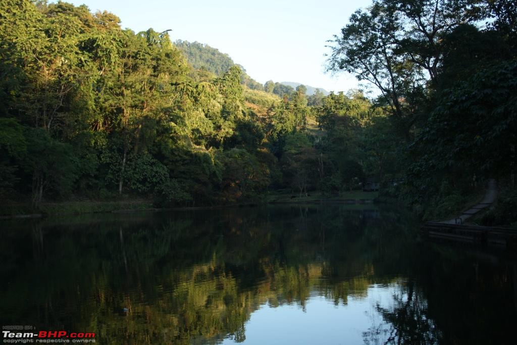
A few kilometers uphill from Roing, we halted for a few minutes to see the Sally lake, which is know for its crystal clear waters:
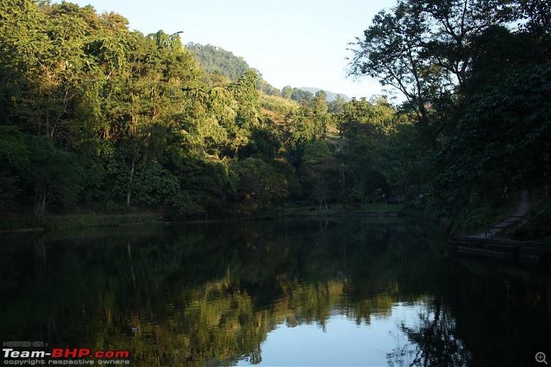
Another view of the lake from the other side, with an abandoned tourist lodge in the background:

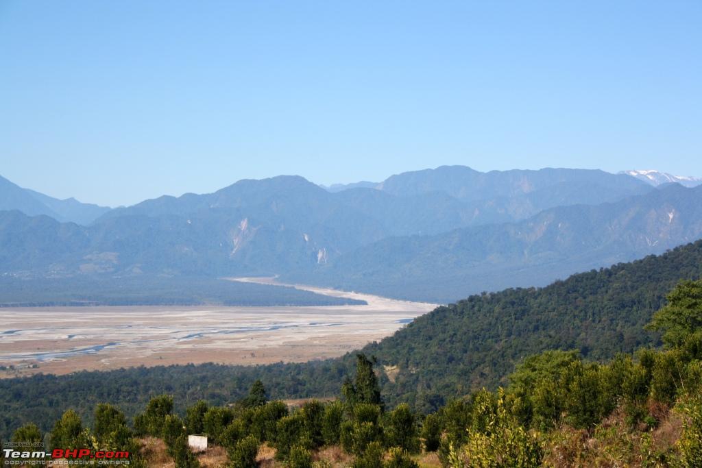
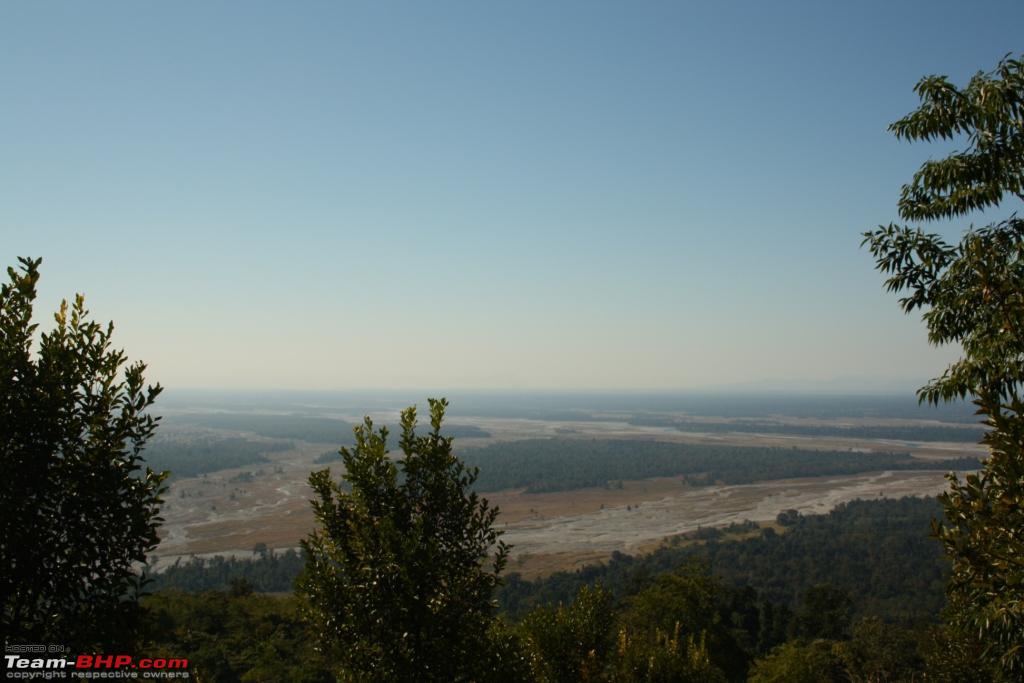
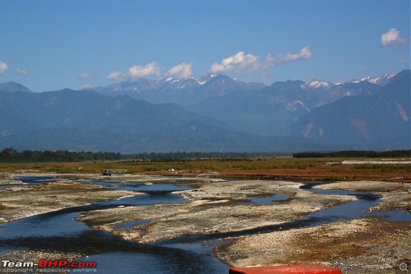
Dibang (Dree) river making its way into the plains. View from Bara Golai, 16 km north of Roing, where a new resort was being built at that time:
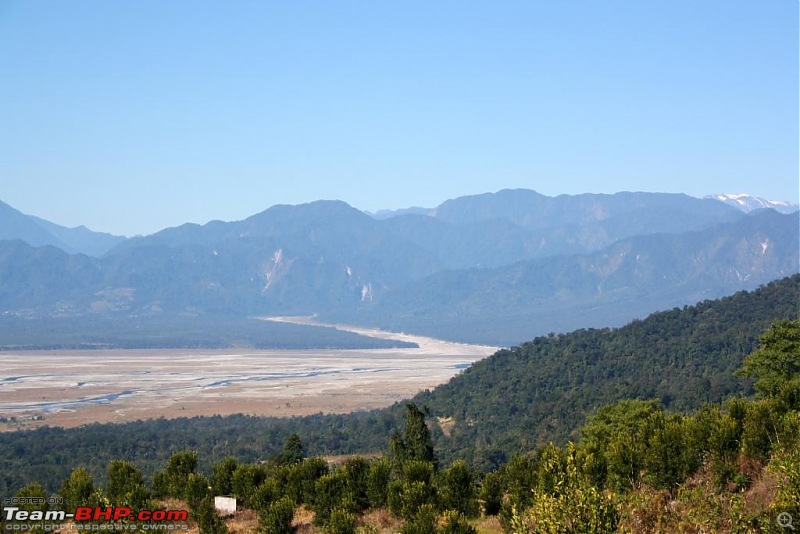
Another view with the orange orchard in the foreground:
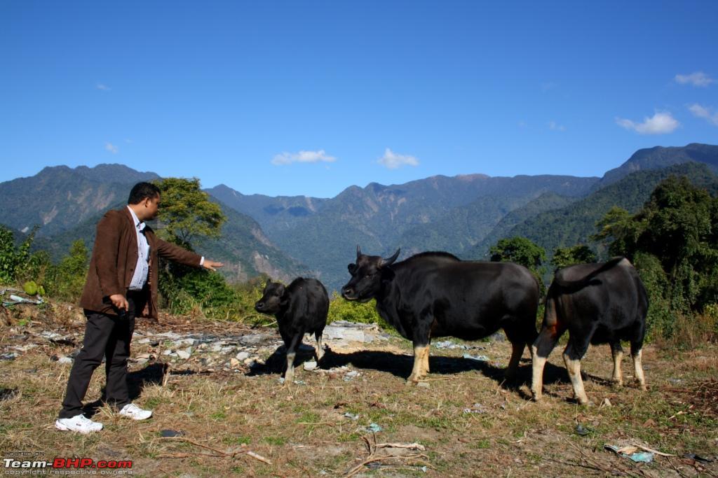
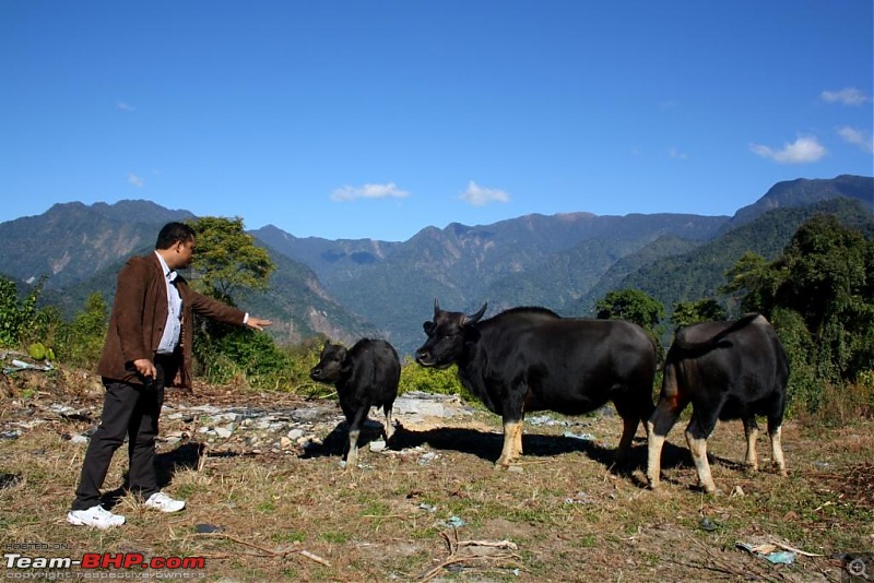
Here's the state animal of Arunachal - locally known as Mithun. However big they might be, they are always timid:
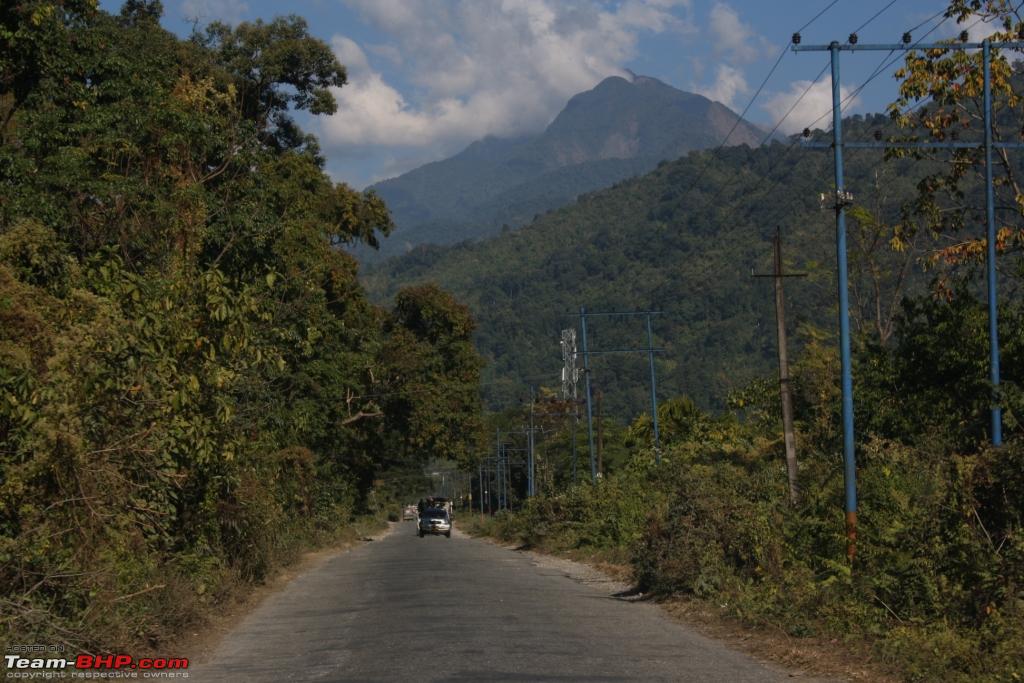
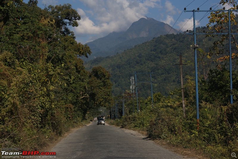
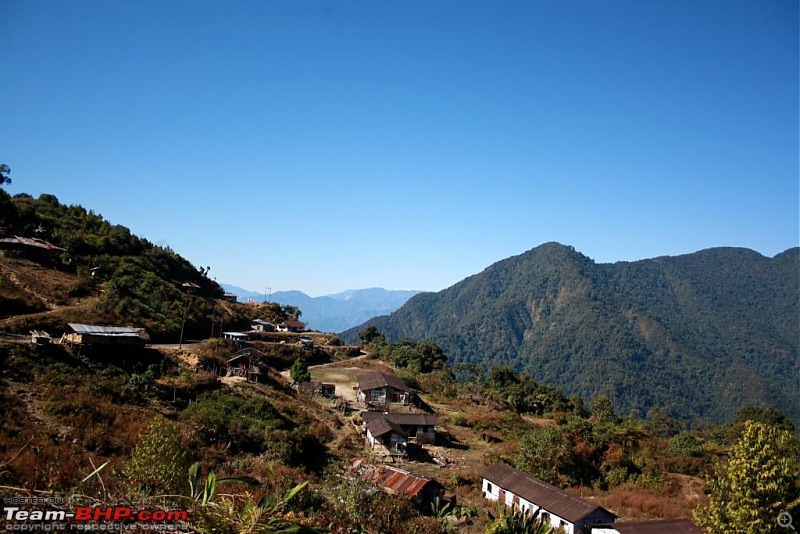
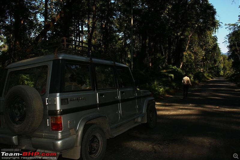
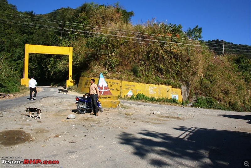
A settlement on the way:
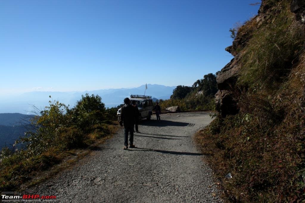
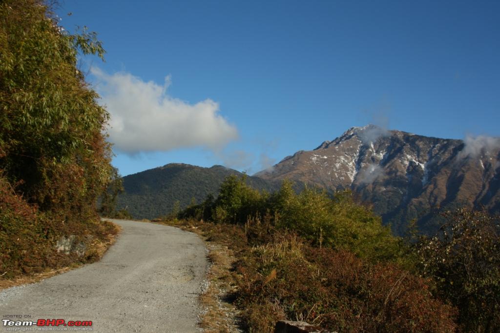
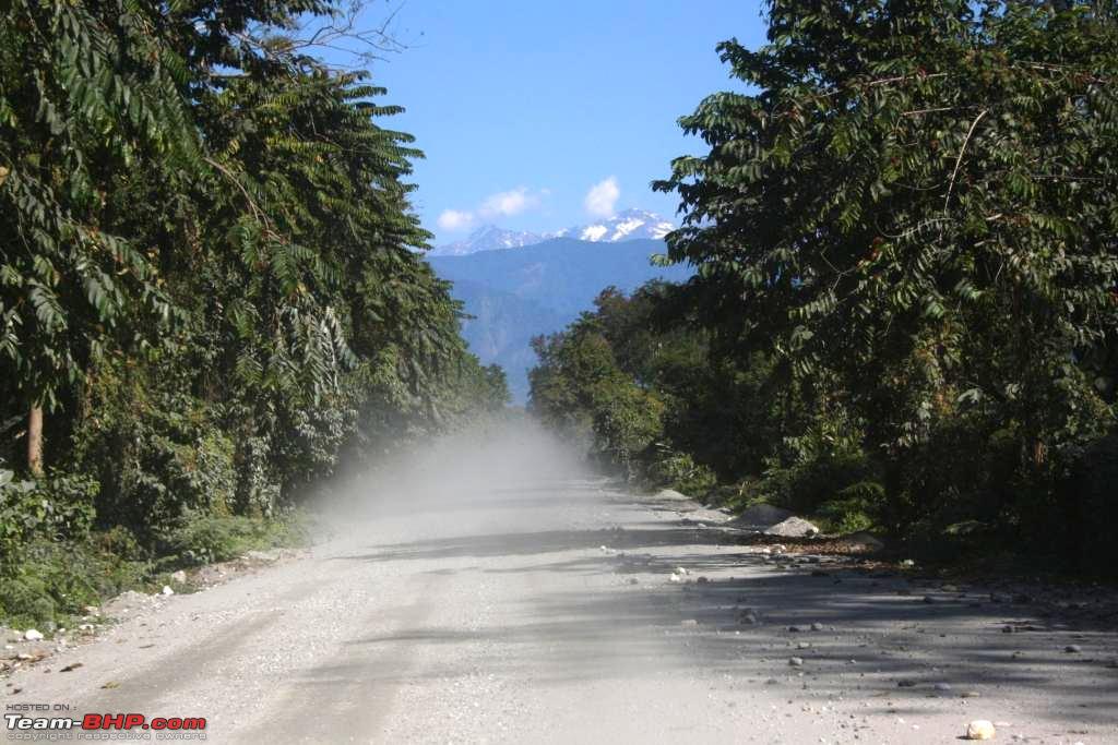
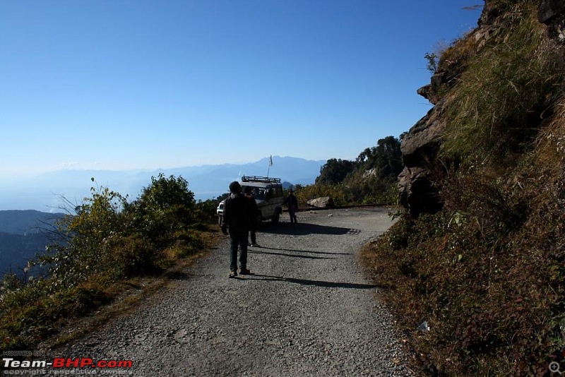
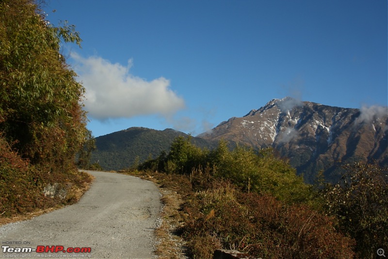
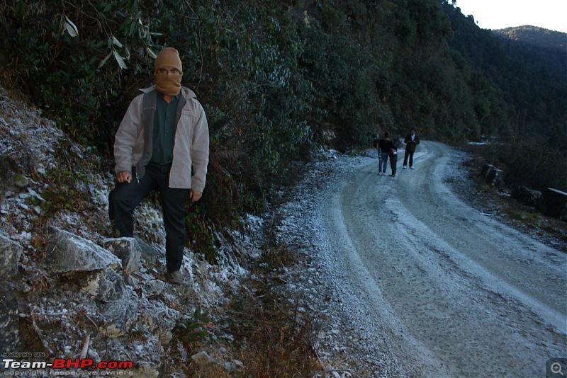
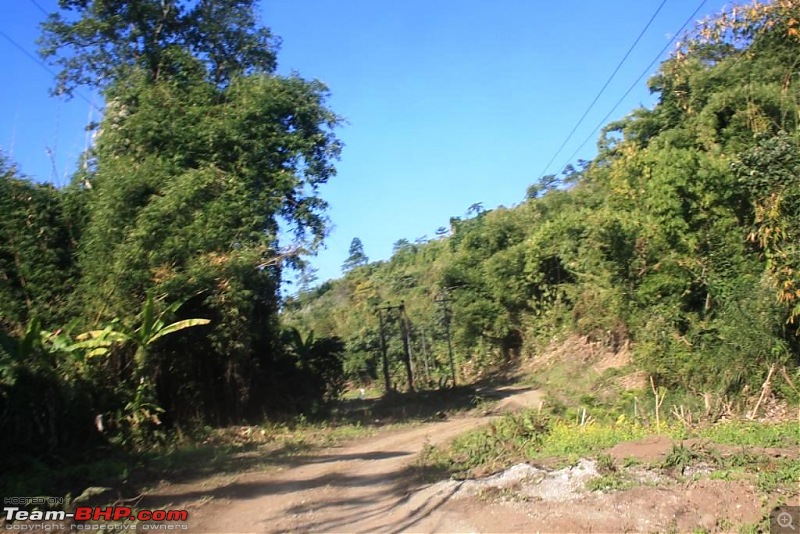
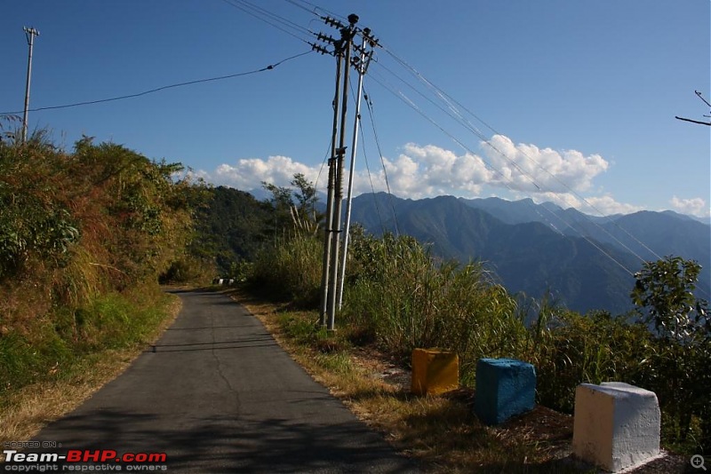
A section of the road:
After around 2 hours of steep climbing, we reached Mayudia, i.e. 2,655 meters of vertical distance is covered in just 56 km of tarmac or just 22 km of aerial distance from the plains.
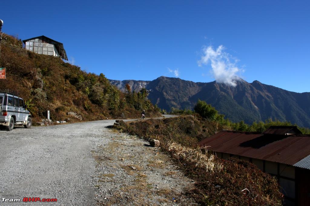
This is the only specialty of Mayudia in my view, and of course it is a rare one. Nowhere in India probably one can get snowfall so close the plains. Otherwise, there's nothing much to write about Mayudia. There's an abandoned tourist lodge with the house of the caretaker and his family on the southern side of the pass. There are 4-5 shops on the other side with a few houses of the local people.
Add to that, it turned out that our timing was wrong. We came around 2 weeks earlier than snowfall time. It's best to visit Mayudia from mid-January till late February.
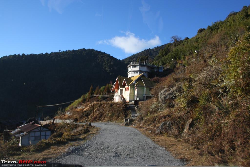
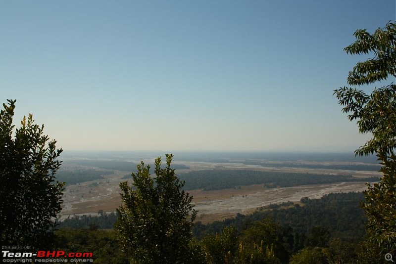
Southern side of Mayudia Pass:

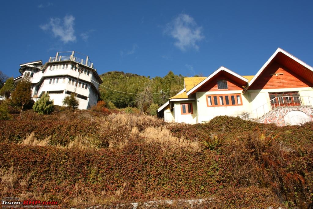
The abandoned tourist lodge, also known as Coffee House:
View from the tourist lodge:
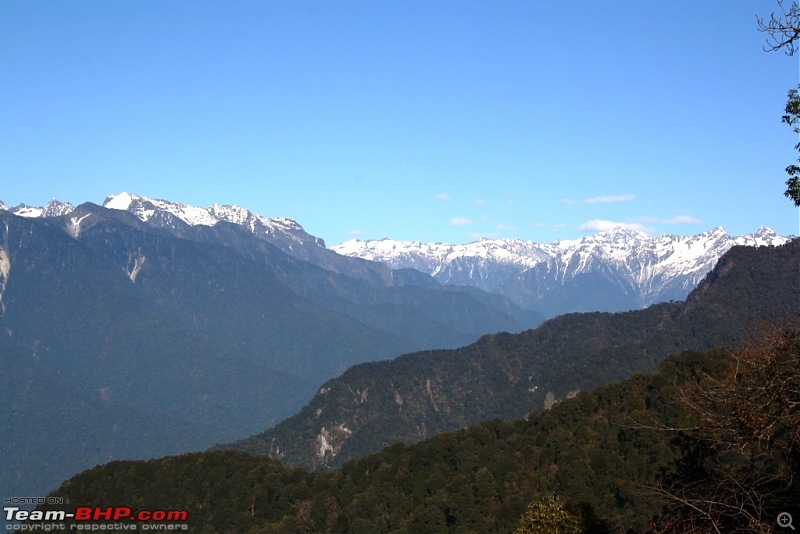
Moving forward towards the snowline and the mountain pass:
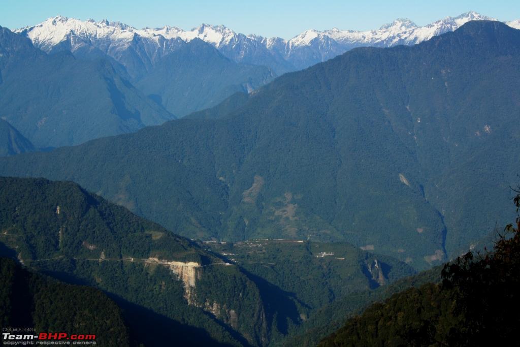
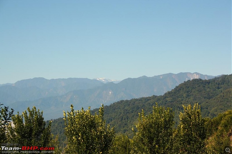
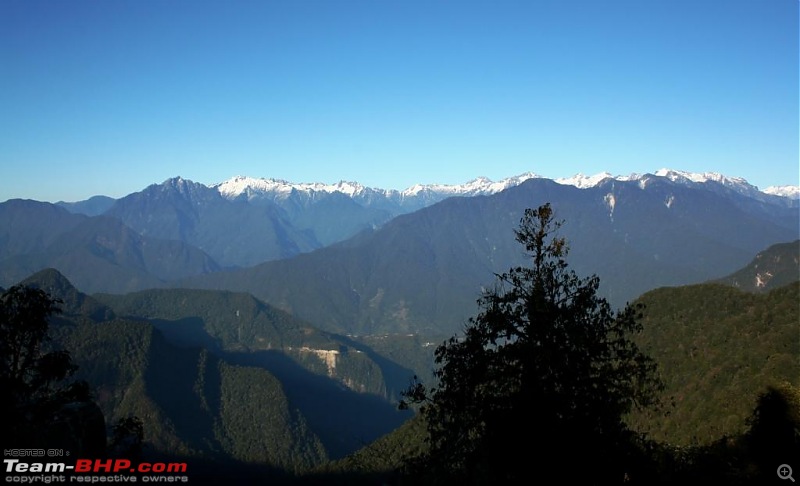
View towards north from the northern side of the Pass. Hunli town at the center on the lower half, on the table top-like hill:
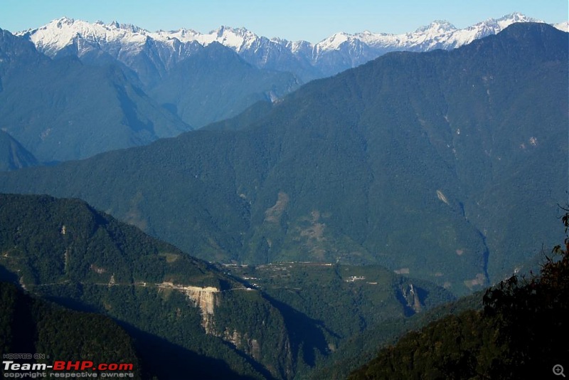
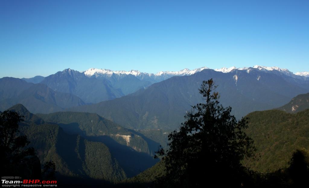
A grand view from an altitude of 2,655 m with the Mayu tops ruling the horizon:
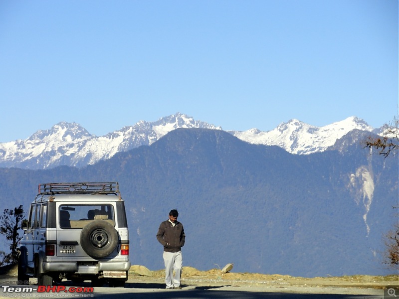
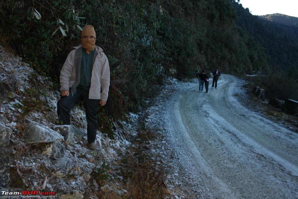
Me on the northern slope. The whiteness on the road is all we got in the name of snow:
So, my wish to visit Mayudia is half fulfilled for the much-pictured snowfall was not there to see. Nevertheless, with a wish to visit again and this time till Anini, we returned to Roing and reached before dusk. Another plan to visit a village of the Mishmi tribe on the way was cancelled due to lack of time.
Next I will share a few pictures from Day-4, on the return journey via Tezu, Parasuram Kunda and Namsai.
Beautiful travelogue and pictures! Good to see that there are others on this forum as well who take more than a year to complete a travelogue. My best till date has been 3 years lol:
Nice travelogue! It refreshed a lot of memories.
I visited Anini in December, 2014 on my Royal Enfield. At that time I was posted in Pasighat. We met some unexpected rain after leaving Roing and were forced to stay at the Mayudia guest house for the night. We (me and a friend) learned later that it is haunted :D. In an effort to dry our clothes and gear, we used up all the firewood the poor caretaker had on the premises. It was a surreal experience with no electricity and only the occasional BRO truck passing by for human company. Thanks again for sharing!
Good one, awaiting your writing for the return leg.
Mighty Bolero proved to be a trusted steed for you on the trip.
On the last day of the trip, we started early at around 6:30 AM for we need to cover a lot of distance from Roing via Tezu, to and fro Lohit view point, Parsuram Kund, Namsai, Dirok Gate and via Tinsukia till Golaghat, a total distance of around 520 km, apart from the occasional halts for sight seeing.
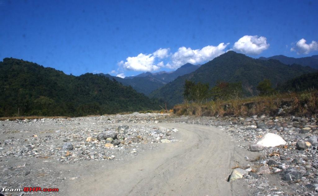
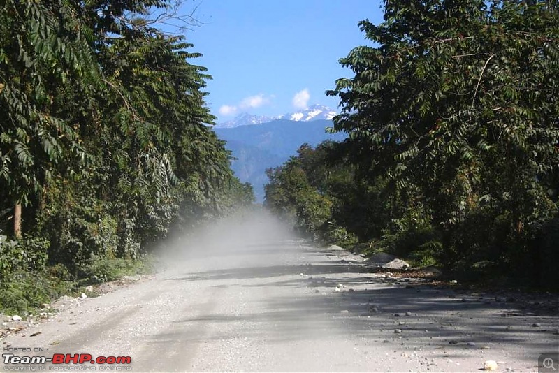
First I was surprised to see the road condition between Roing and Tezu, 2 district head quarters of Arunachal. In the name of road, there was only tyre marks to follow, probably created by construction vehicles. This condition continued for about 20 km or so.
On the way we had a plan to see Kundil Nagar (aka Vidarbha), the kingdom to which princess Rukmini, the most prominent queen of Lord Sri Krishna, belonged. But we could not locate it.
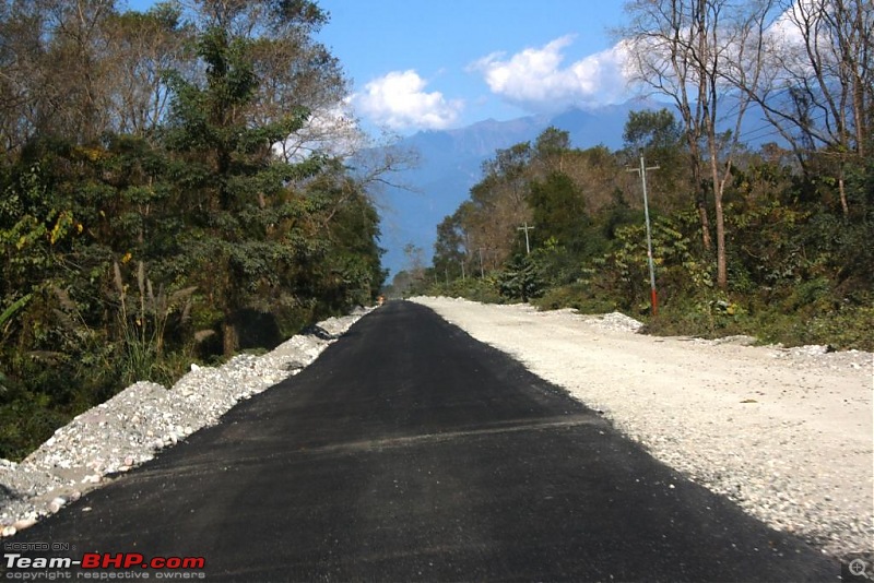
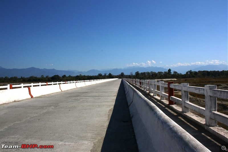
After some distance, road condition become reasonable, where we could somehow maintain top gear. It falls under central's SARDP and trans-Arunachal highway project, where work was in progress at full swing.
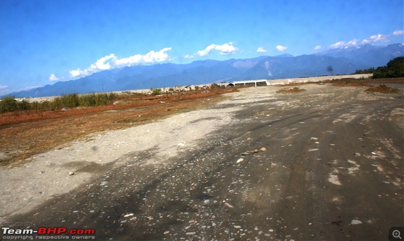
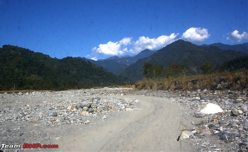
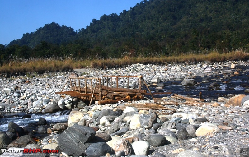
But not for long. Our driver Surinder was acquainted with this road and he took a lot of diversions as a lot of bridges were far from completion at that time on the main road:
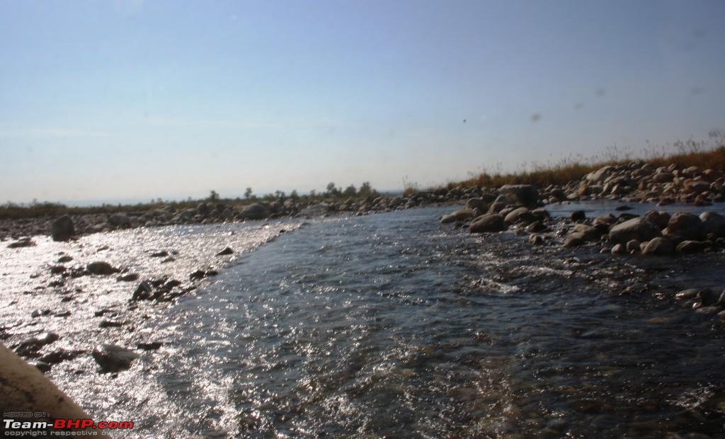
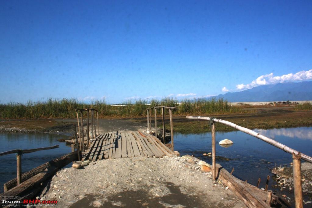
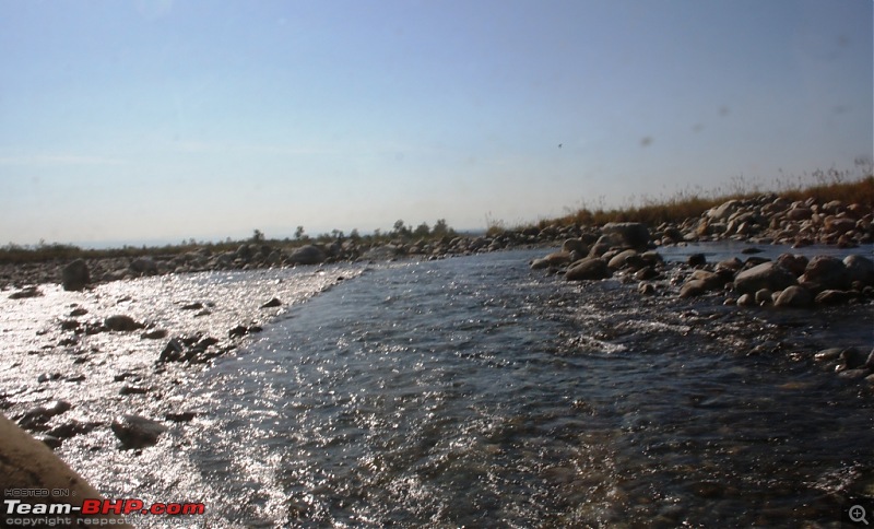
But we were not complaining because this was almost like driving from one picnic spot to another. See for yourself:
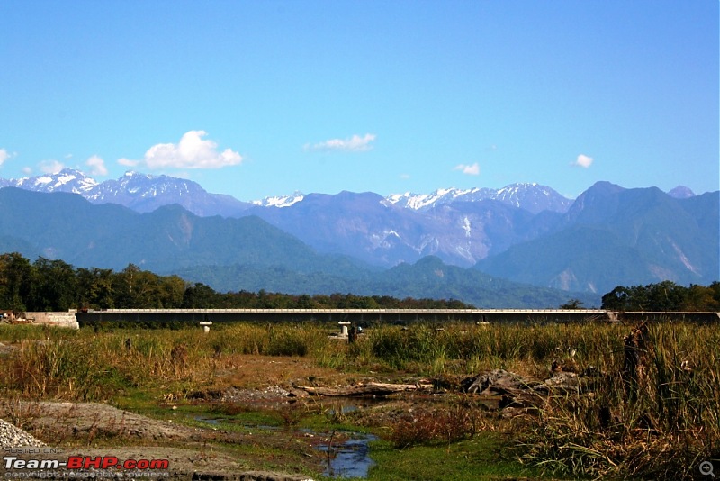
We saw numerous bridges under construction with beautiful backdrop of snow-clad mountains:
But our route was totally different from that:
And sometimes like this.
But our tough guy tackled everything with supreme authority.
"Dinosaur bones but very capable", as summed up by one of the auto magazines:
Around halfway to Tezu, we could get on the main road.
This is Digaru Bridge. At 728 meters, it is the longest bridge built by BRO at that time, and was opened just a few months back:
No doubt, this section of road from Roing to Tezu will make one picturesque journey to remember. Eye-cathing view from Digaru Bridge:
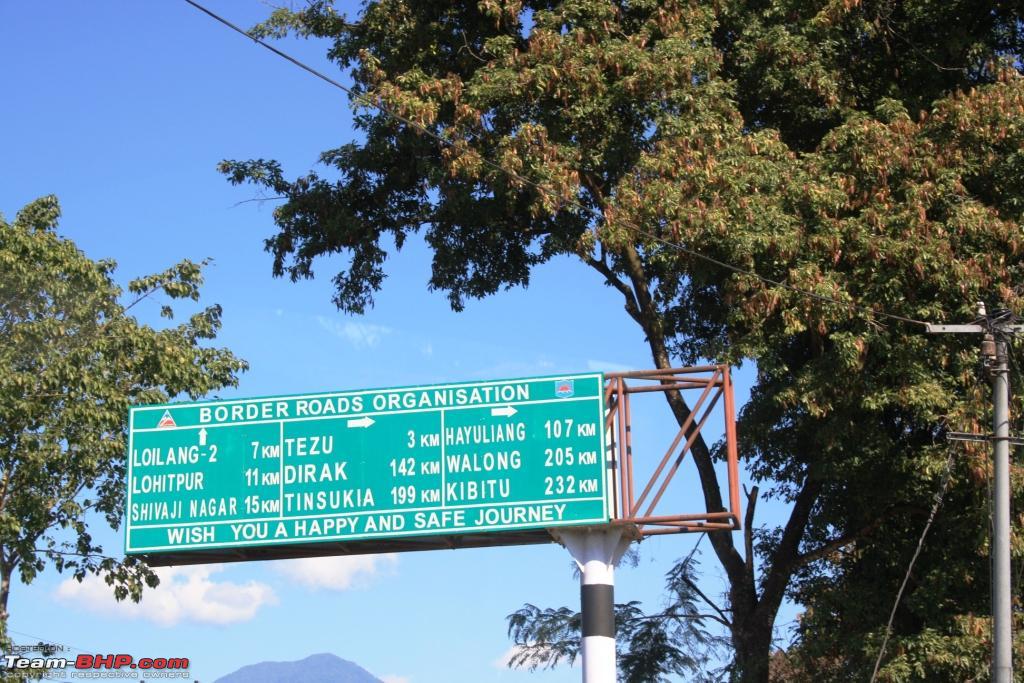
Sign board just before Tezu:

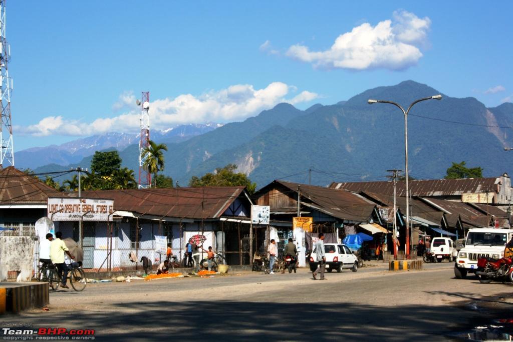
A section Tezu town, district headquarter of Lohit district:
Just after crossing Tezu, uphill climb started till the Tohangin tri-junction.
At the tri-junction:
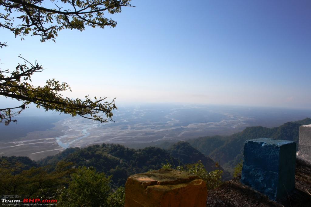
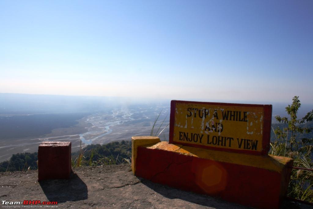
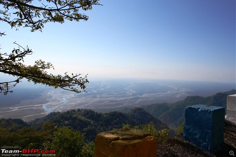
We took left at Tohanging on the Walong road to visit the Lohit view point, where one can enjoy the majestic view of mighty Lohit river spreading its arms on making its way to the plains.
Road to Lohit view point was good, but single lane only, just like in most of the places of Arunachal:
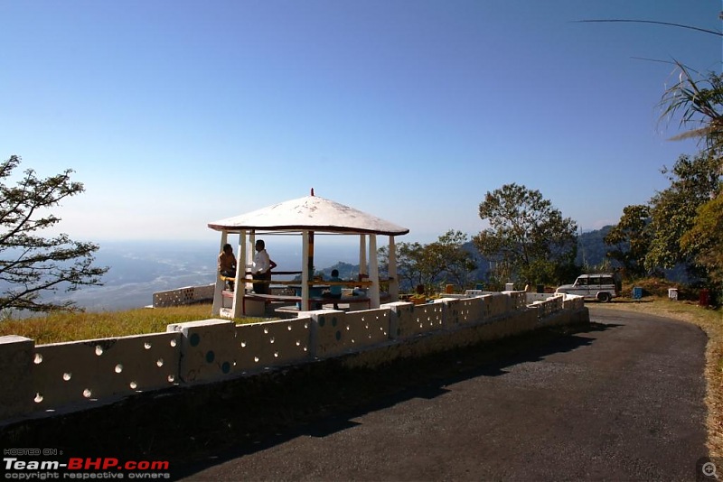
We reached the view point within 10 minutes and clicking spree started in no time:
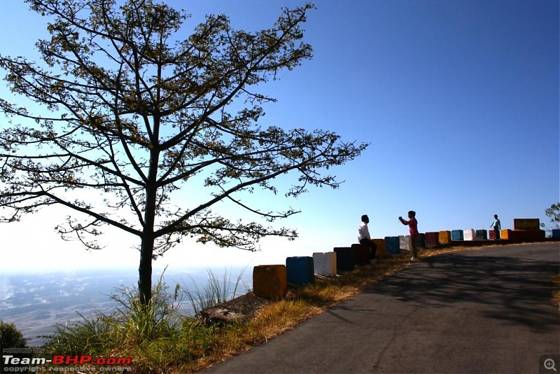
A few shots:

We moved further up for around 10 kilometers till Hawa Pass, where it is said that wind continues to blow along it all the time.
At the pass:

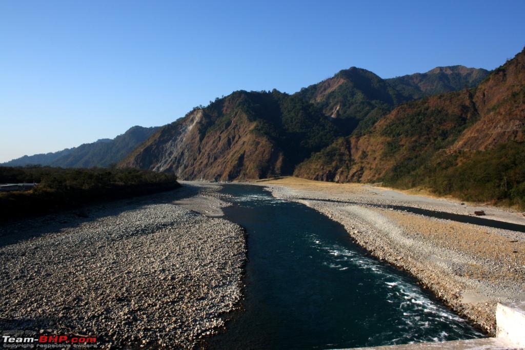
The descent from Hawa pass till Parsuram Kund was scary, if nothing else, and very landslide prone. It was really steep, from 1500 meters till almost to MSL, covered within an aerial distance of not more thatn 5 kilometers, almost like spiraling down along the slope of the same hill.
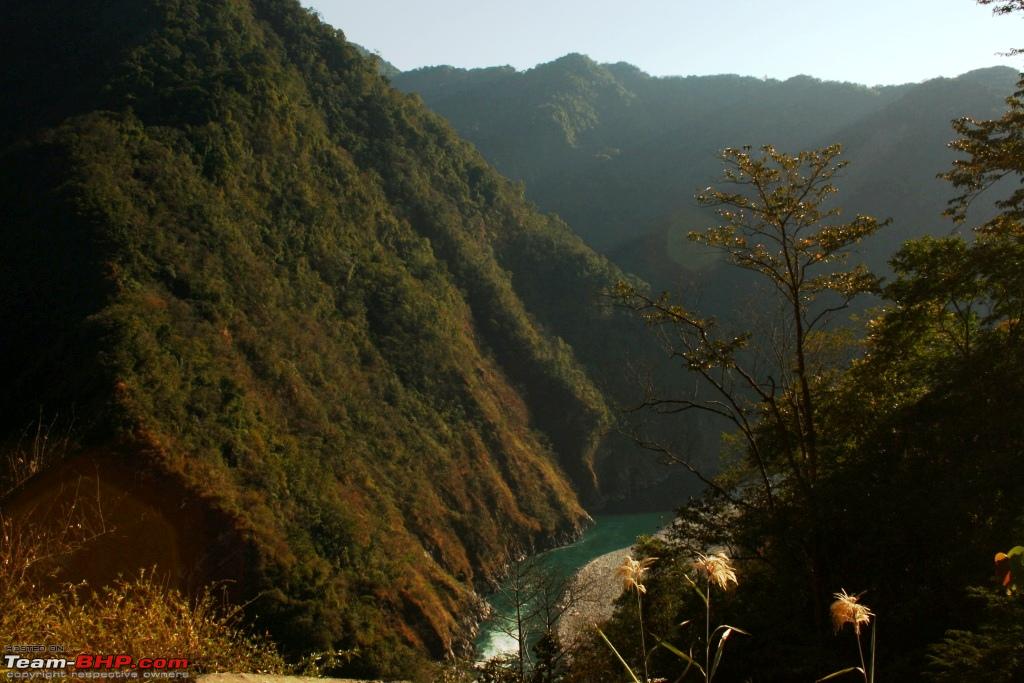
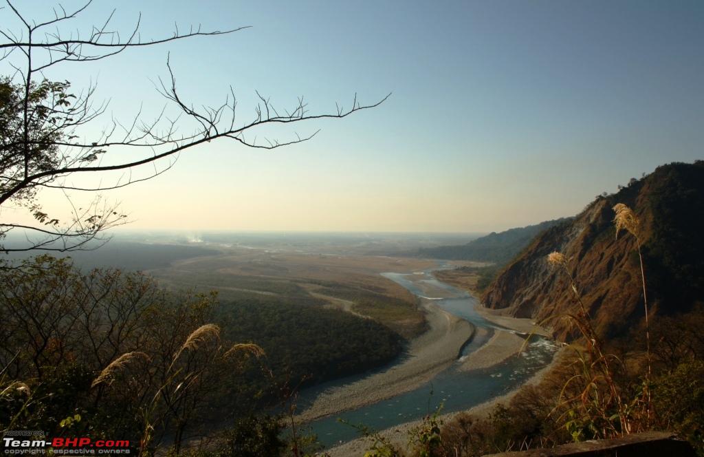
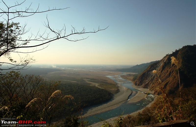
Halfway from Tohangin to Parsuram Kund, Lohit river gave us company:

We stopped at a good vantage point to enjoy a closure view of Lohit river making it to the plains:
Then a customary photo session at the bridge:
The Kund and the axe of Sri Parsuram, viewed from the bridge:
View of the river from the bridge:
At Wakro, we bought oranges, just plucked from the numerous orchards there at an unbelievable price, Rs. 1 per piece! And they tasted sweetest of all I had taken till now.
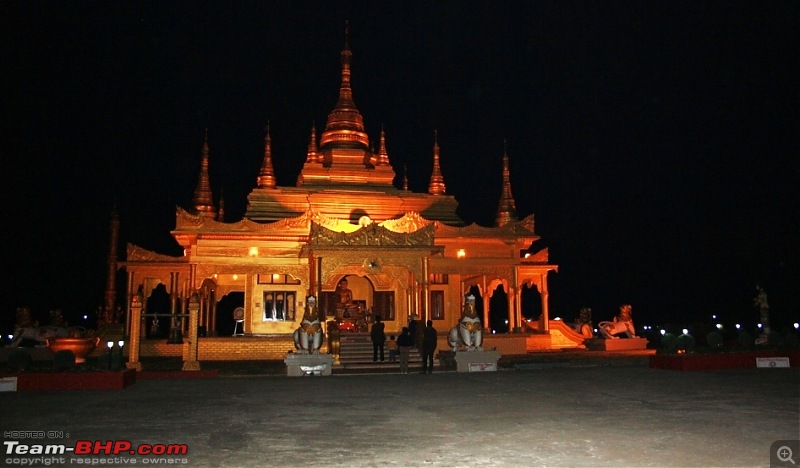
We had plan to visit the Golden Pagoda at Namsai on the way. But it was already got dark when we reach. So, better photos could not be taken.
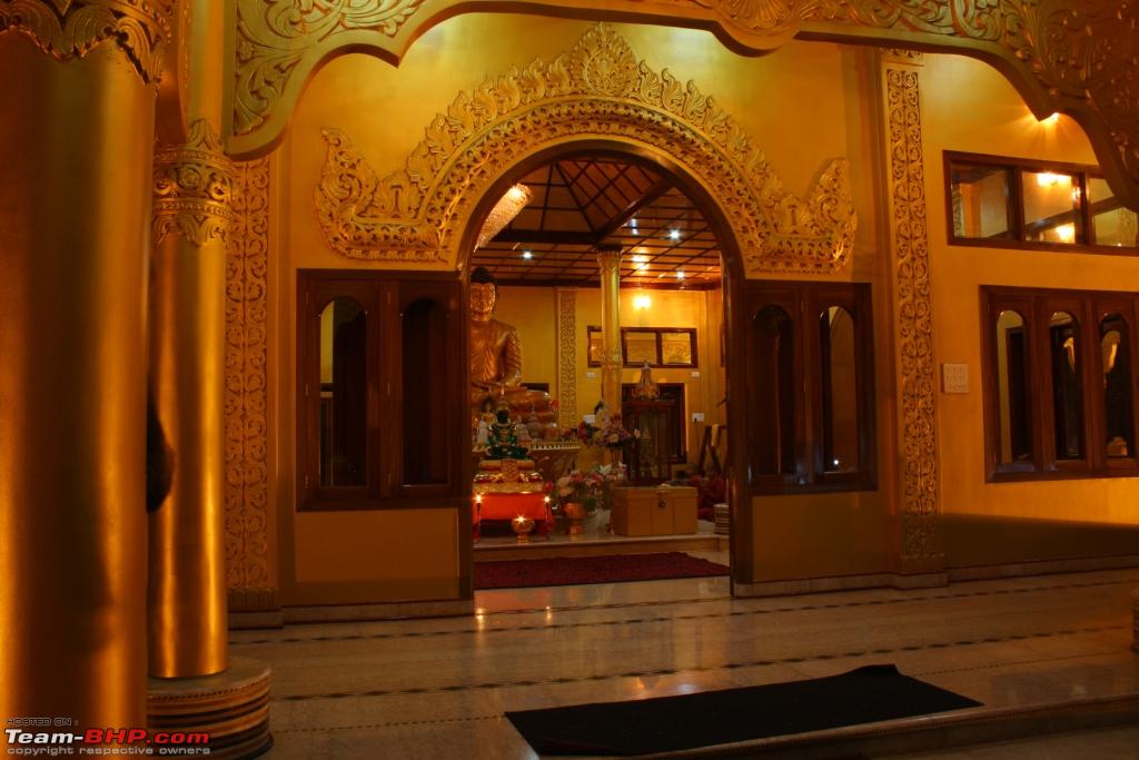
The Golden Pagoda:
A glimpse of the inside:

The later part of the journey was uneventful, we slept most of the time and reached Golaghat just past midnight.
Although very short, and a couple of plans could not be completed due to lack of time, it still stood as a trip to remember for us, along with a desire to go again, this time till Anini, without fail.