Team-BHP > Travelogues
Register New Topics New Posts Top Thanked Team-BHP FAQ


Reply
  Search this Thread
44,921 views
Old 22nd June 2020, 12:22   #16
Senior - BHPian
 
guyfrmblr's Avatar
 
Join Date: Aug 2011
Location: Boston
Posts: 1,215
Thanked: 4,739 Times
San Rafael Swell (Sunrise)

San Rafael Swell (Sunrise):

After the thrilling 700 miles drives from Las Vegas to Salina the previous day, our plan for the 4th day was to visit Canyonlands National Park in Utah. There are only 2-3 hotels in Salina, Utah. Last time we stayed in Econo lodge. This time we decided to try Super 8. The service in this hotel was pretty good. We started pretty early in the morning towards Canyonlands NP. It's around 170 miles from Salina and generally takes around two and a half hours. My aim was to reach the San Rafael swell before sunrise.

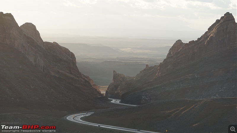
San Rafael swell is a large geologic feature near Green River, Utah. The swell is noted for large canyons, rock formations and dinosaur remains. The I-70 highway passes right through the swell and is considered as one of the engineering marvels of the US Interstate Highway system. The highway is pretty steep at this location and I have seen 3 truck runaway ramps in this section. It seems like break failure of trucks is common in this area. Last time I had seen around 3 tractor trailers crashed at various places in the swell and this time I saw couple of them crashed. There is a mandatory break check area for trucks at the beginning of this section but still some trucks manage to crash.

There is a rest area on both sides of I-70 and is the ideal place to stop and enjoy the scenic beauty. I prefer the East bound rest area as it is more scenic and offers a better view of the swell. The West bound rest area is at a lower elevation and does not offer the full view of the swell. The best time to visit this area is during sunrise or sunset.

We reached the rest area well before sunrise. The temperature was around -5 C:
America, the beautiful : A 10,000 mile road-trip with my parents-1.jpg

It turned a bit brighter after few minutes:
America, the beautiful : A 10,000 mile road-trip with my parents-2.jpg

The sun slowly lights up the swell:
America, the beautiful : A 10,000 mile road-trip with my parents-3.jpg

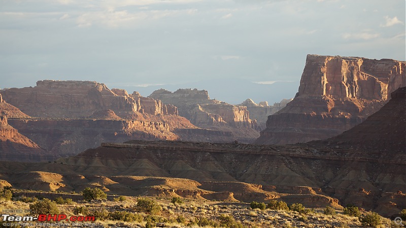
The canyons around the swell starts turning into Golden color:
America, the beautiful : A 10,000 mile road-trip with my parents-4.jpg

America, the beautiful : A 10,000 mile road-trip with my parents-5.jpg

The sun is almost out of clouds now:
America, the beautiful : A 10,000 mile road-trip with my parents-6.jpg

America, the beautiful : A 10,000 mile road-trip with my parents-7.jpg

And the swell blocks the sun rays preventing it from lighting the highway:
America, the beautiful : A 10,000 mile road-trip with my parents-8.jpg

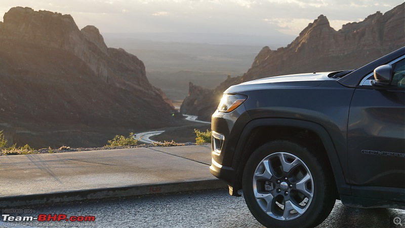
This color of the Jeep Compass looks best during sunrise and sunset:
America, the beautiful : A 10,000 mile road-trip with my parents-9.jpg

My dad was all smiles at this place:
America, the beautiful : A 10,000 mile road-trip with my parents-10.jpg

I think this is the most scenic rest area of any highway in the entire USA. People occasionally camp here at night in their RVs. After witnessing the sunrise at San Rafael swell, we continued our drive towards Canyonlands NP. Even in peak summer, this area can get pretty cold in early mornings. The windchill can make things worse. Fortunately, there were no winds on the day we went there.

Last edited by guyfrmblr : 24th June 2020 at 16:40.
guyfrmblr is offline   (15) Thanks
Old 22nd June 2020, 16:27   #17
Senior - BHPian
 
guyfrmblr's Avatar
 
Join Date: Aug 2011
Location: Boston
Posts: 1,215
Thanked: 4,739 Times
Canyonlands National Park

Canyonlands National Park:

After we witnessed the magnificent sunrise at San Rafael Swell area, we drove straight towards Canyonlands National park. It is just an hour drive from the swell area. One has to take I-70 E towards Colorado and take a right towards US-191 S at Crescent Junction. We reached the Island in the Sky visitor center at 8 AM. Since we had plans to visit multiple National parks, we bought the "America The Beautiful" National park pass which costs $80 and gives unlimited to access to all the National Parks, Monuments and more across 2000 locations in the USA for 4 people and is valid for 12 months from the date of purchase. Just three National Parks visits will cover up the cost of this annual pass.

The annual park features the photo of Acadia National Park in Maine which is captured by one of my favorite photographers - Manish Mamtani.
America, the beautiful : A 10,000 mile road-trip with my parents-img_4376.jpg

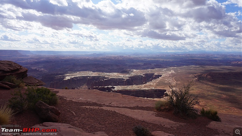
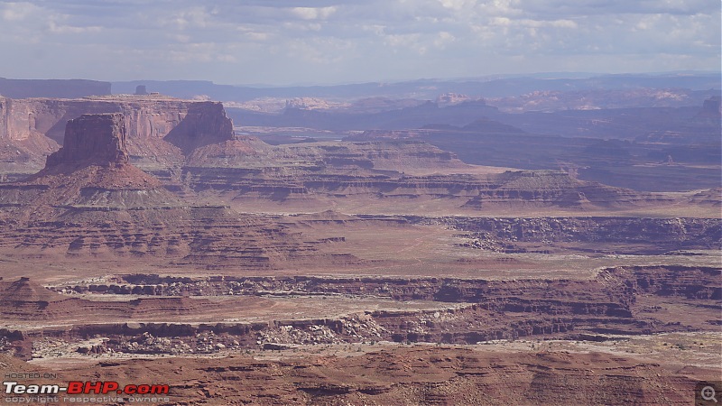
Canyonlands National Park is divided into 4 districts - Island in the Sky, The Maze, the Needles, The Horseshoe Canyon. We planned to visit Island in the Sky. Most of the scenic spots in this district can be accessed by car and is ideal for elders. We first went to the Grand View Point overlook. This almost provides 360 degree aerial view of the National park. There is an easy 1 mile trail which takes you to all the views in this overlook.

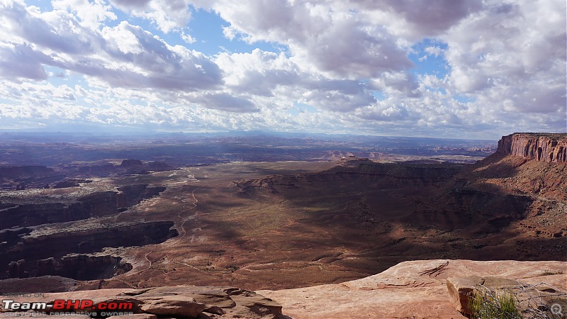
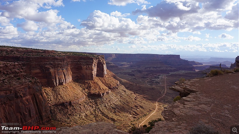
View from Grand View Point overlook towards South. As the name suggests, it provides a grand view of the Monument basin and Lower basins:
America, the beautiful : A 10,000 mile road-trip with my parents-dsc05038.jpg

View towards West. The walking trail takes you through the edge of the cliff. The winds were pretty heavy and the weather was cold. We had winter clothes and faced no issues:
America, the beautiful : A 10,000 mile road-trip with my parents-dsc05039.jpg

Pictures don't do justice for this place. One has to visit there to experience the vastness:
America, the beautiful : A 10,000 mile road-trip with my parents-1_1.jpg

America, the beautiful : A 10,000 mile road-trip with my parents-1_2.jpg

America, the beautiful : A 10,000 mile road-trip with my parents-2.jpg

America, the beautiful : A 10,000 mile road-trip with my parents-3.jpg

America, the beautiful : A 10,000 mile road-trip with my parents-4.jpg

Our next stop was at White Rim overlook which provides a 180 degree view of the White Rim trail below:
America, the beautiful : A 10,000 mile road-trip with my parents-5.jpg

America, the beautiful : A 10,000 mile road-trip with my parents-6.jpg

America, the beautiful : A 10,000 mile road-trip with my parents-7_1.jpg

America, the beautiful : A 10,000 mile road-trip with my parents-7.jpg

America, the beautiful : A 10,000 mile road-trip with my parents-8.jpg

The mighty Colorado river flows through those cracks like structure which appears like a small creek from this point:
America, the beautiful : A 10,000 mile road-trip with my parents-9.jpg

Dad and mom at White Rim overlook:
America, the beautiful : A 10,000 mile road-trip with my parents-10.jpg

America, the beautiful : A 10,000 mile road-trip with my parents-11.jpg

Last edited by guyfrmblr : 24th June 2020 at 16:41.
guyfrmblr is offline   (13) Thanks
Old 22nd June 2020, 18:54   #18
Senior - BHPian
 
guyfrmblr's Avatar
 
Join Date: Aug 2011
Location: Boston
Posts: 1,215
Thanked: 4,739 Times
Canyonlands National Park

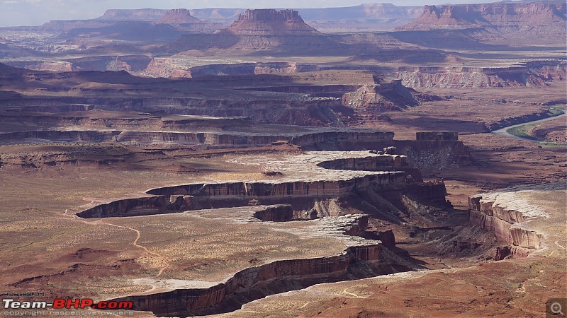
Our next stop after the White Rim overlook was at Green River overlook. This view point provides a panoramic view of the Green river cutting across the canyons. The mighty Green River appears like a tiny stream. It joins the Colorado river little further:
America, the beautiful : A 10,000 mile road-trip with my parents-6.jpg

America, the beautiful : A 10,000 mile road-trip with my parents-7.jpg

America, the beautiful : A 10,000 mile road-trip with my parents-8.jpg

America, the beautiful : A 10,000 mile road-trip with my parents-9.jpg

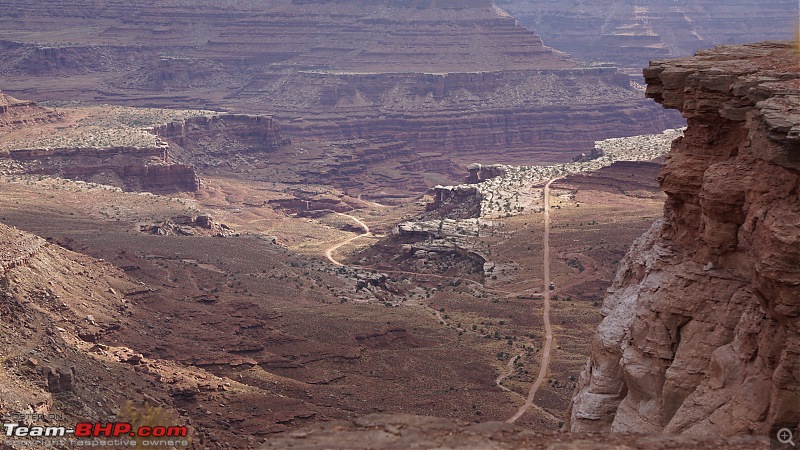
The White Rim trail looks like a narrow line in this picture:
America, the beautiful : A 10,000 mile road-trip with my parents-10.jpg

America, the beautiful : A 10,000 mile road-trip with my parents-5.jpg

This is a viewpoint near the Island in the Sky visitor center.
America, the beautiful : A 10,000 mile road-trip with my parents-1.jpg

America, the beautiful : A 10,000 mile road-trip with my parents-2.jpg

Can anyone spot a full size truck on the White Rim trail in this picture? It explains the depth at this point:
America, the beautiful : A 10,000 mile road-trip with my parents-3.jpg

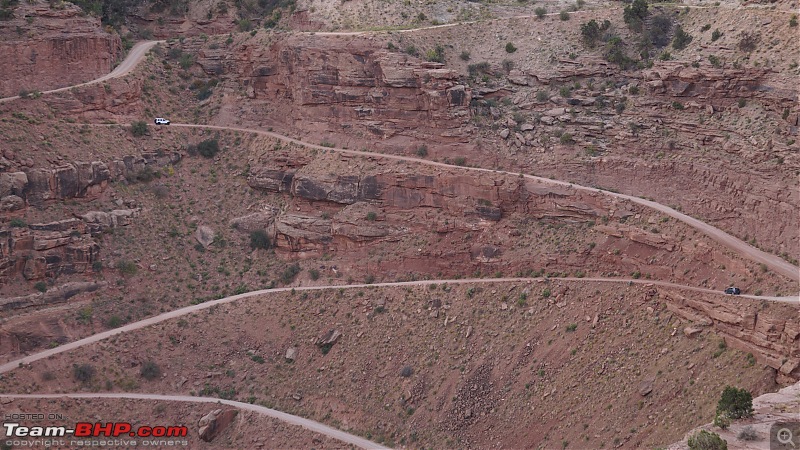
The descend to the White Rim trail. A 4x4 vehicle + 2-3 days of free time is required to complete a loop in the White Rim trail.
America, the beautiful : A 10,000 mile road-trip with my parents-4.jpg

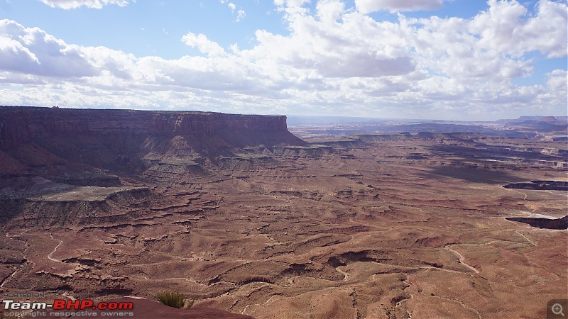
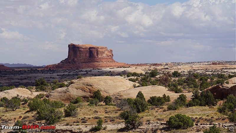
Big Mesa seen from the Big Mesa viewpoint on the park entrance road.
America, the beautiful : A 10,000 mile road-trip with my parents-11.jpg

After spending the entire day roaming around the National Park, we returned to our hotel in Green River, Utah. The most logical place to stay near this National park is in the town of Moab but the town is commercialized and congested buzzing with activities. I always prefer to stay at a peaceful location even though it's bit far from these places. Drive to Green River from Canyonlands National park takes just takes around 45 minutes. We stayed at Super 8, Green River.

Last edited by guyfrmblr : 24th June 2020 at 16:42.
guyfrmblr is offline   (13) Thanks
Old 23rd June 2020, 11:51   #19
Senior - BHPian
 
guyfrmblr's Avatar
 
Join Date: Aug 2011
Location: Boston
Posts: 1,215
Thanked: 4,739 Times
Arches National Park

Arches National Park:

Our plan for the 5th day was to visit Arches National Park. This park can get quite crowded during weekends (even during offseason) and hence we planned such that our visit falls on a weekday. The entrance to Arches NP is a little further of Canyonlands NP entrance towards Moab. We started at around 7 AM from our hotel in Green River and reached the park entrance at around 8 AM. We wanted to avoid the afternoon heat and hence arrived early. This is one of the highest visited National Parks of the USA. Even though Canyonlands is so close to the Arches, for some strange reason the latter gets lot more visitors than the former even though both are equally beautiful.

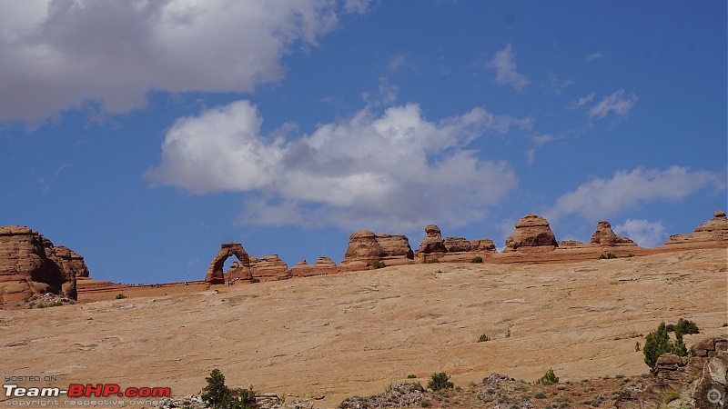
This National Park gets it name from the 2000+ natural sandstone arches that are found in the park. The park contains the highest density of natural arches in the world. The Delicate Arch is the most famous one and is also used in the Utah license plates. All the billboards advertising the Mighty Five (5 National Parks in Utah - Arches, Canyonlands, Capitol Reef, Zion and Bryce Canyon) also has the Delicate Arch as the official image.

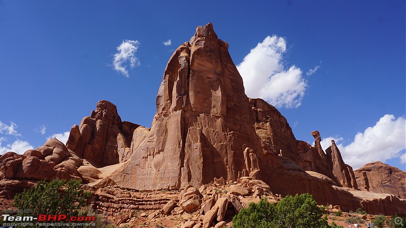
Our first visit in the park was to the Park Avenue and the Courthouse Towers area. There is a small hike of around a mile which leads into the canyon:
America, the beautiful : A 10,000 mile road-trip with my parents-2.jpg

America, the beautiful : A 10,000 mile road-trip with my parents-dsc05314.jpg

America, the beautiful : A 10,000 mile road-trip with my parents-3.jpg

Dad and Mom at Park Avenue viewpoint:
America, the beautiful : A 10,000 mile road-trip with my parents-dsc05318.jpg

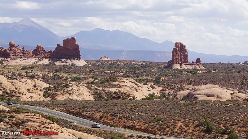
We then drove to the La Sal Mountains viewpoint. The La Sal mountains cab be seen at the distance:
America, the beautiful : A 10,000 mile road-trip with my parents-9.jpg

This viewpoint also provides a fantastic view of Three Gossips, Sheep Rock and The Organ:
America, the beautiful : A 10,000 mile road-trip with my parents-5.jpg

America, the beautiful : A 10,000 mile road-trip with my parents-4.jpg

America, the beautiful : A 10,000 mile road-trip with my parents-6.jpg

America, the beautiful : A 10,000 mile road-trip with my parents-7.jpg

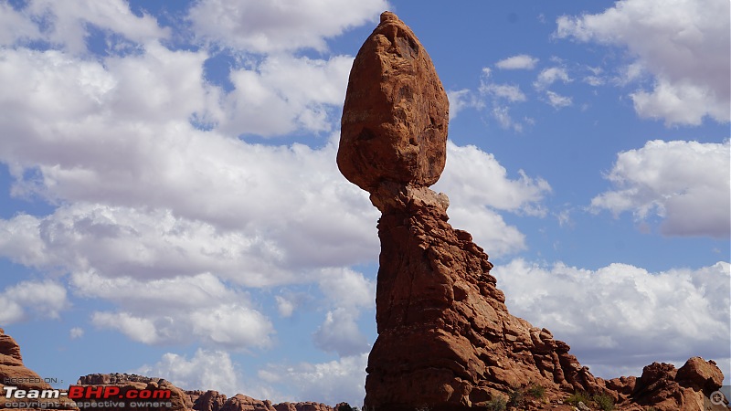
Our next stop was at Balanced Rock:
America, the beautiful : A 10,000 mile road-trip with my parents-dsc05432.jpg

America, the beautiful : A 10,000 mile road-trip with my parents-8.jpg

Couple of folks decided to climb on the rock. I believe it's illegal to climb the rocks here:
America, the beautiful : A 10,000 mile road-trip with my parents-10.jpg

America, the beautiful : A 10,000 mile road-trip with my parents-1.jpg

Last edited by guyfrmblr : 24th June 2020 at 16:42.
guyfrmblr is offline   (11) Thanks
Old 23rd June 2020, 12:18   #20
Senior - BHPian
 
guyfrmblr's Avatar
 
Join Date: Aug 2011
Location: Boston
Posts: 1,215
Thanked: 4,739 Times
Arches National Park

After spending some time strolling around the La Sal Mountains viewpoint, we drove towards The Windows. There are numerous viewpoints on the way to The Windows.
America, the beautiful : A 10,000 mile road-trip with my parents-1.jpg

America, the beautiful : A 10,000 mile road-trip with my parents-2.jpg

America, the beautiful : A 10,000 mile road-trip with my parents-3.jpg

The Windows area has four arches - Double Arch, The North Window, The South Window and The Turret Arch. All are easily accessible from the parking lot.

The Double Arch is visible in this pic:
America, the beautiful : A 10,000 mile road-trip with my parents-4.jpg

The North Window as seen from the parking lot:
America, the beautiful : A 10,000 mile road-trip with my parents-5.jpg

Closer look at the South Window:
America, the beautiful : A 10,000 mile road-trip with my parents-5_1.jpg

The South and the North Windows together:
America, the beautiful : A 10,000 mile road-trip with my parents-5_2.jpg

We then drove to the Delicate Arch viewpoint. The hike to the Delicate Arch requires lots of stamina. The hike itself is not difficult but walking on the rocks in that heat requires lots of stamina. The ideal time to hike is early in the morning. Since we had no plans to hike, we just drove to the view point at below:
America, the beautiful : A 10,000 mile road-trip with my parents-6.jpg

The majestic Delicate Arch:
America, the beautiful : A 10,000 mile road-trip with my parents-7.jpg

We then drove to the Devil's Garden:
America, the beautiful : A 10,000 mile road-trip with my parents-8.jpg

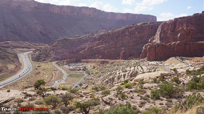
Random pics of the Arches National park entrance road from the top:
America, the beautiful : A 10,000 mile road-trip with my parents-10.jpg

America, the beautiful : A 10,000 mile road-trip with my parents-9.jpg

After spending the entire day at the park, we drove back to our hotel in Green River.

Last edited by guyfrmblr : 24th June 2020 at 16:43.
guyfrmblr is offline   (15) Thanks
Old 23rd June 2020, 12:50   #21
Senior - BHPian
 
guyfrmblr's Avatar
 
Join Date: Aug 2011
Location: Boston
Posts: 1,215
Thanked: 4,739 Times
Capitol Reef National Park - Utah Route 28

Capitol Reef National Park:

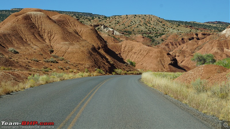
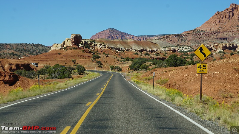
Our plan for the 6th day was to visit Capitol Reef National Park in Utah. It's a 1.5 hours drive (100 miles) from our hotel at Green River. The drive from Green River to the park entrance at Fruita through UT-28 route itself deserves a separate post. The drive is so scenic that you get a feeling that you are driving inside some National Park. The UT-28 gets a well deserved scenic byway marker by the State of Utah. After Hanksville, this route mostly follows the Fremont river. Few miles before the National Park entrance, the route goes through the beautiful canyon carved by Fremont river.

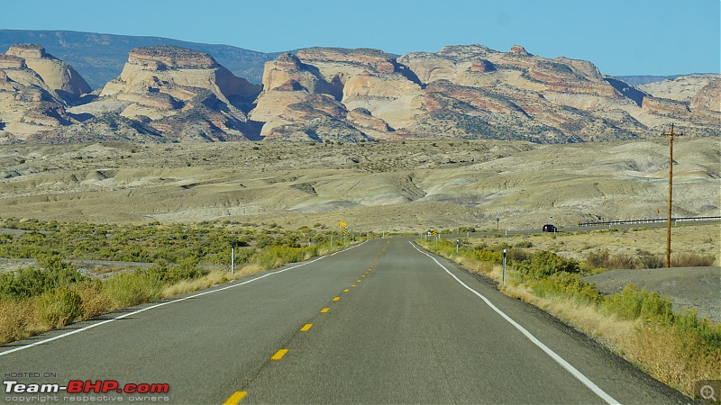
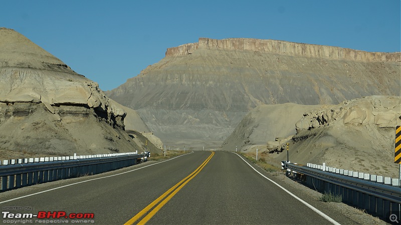
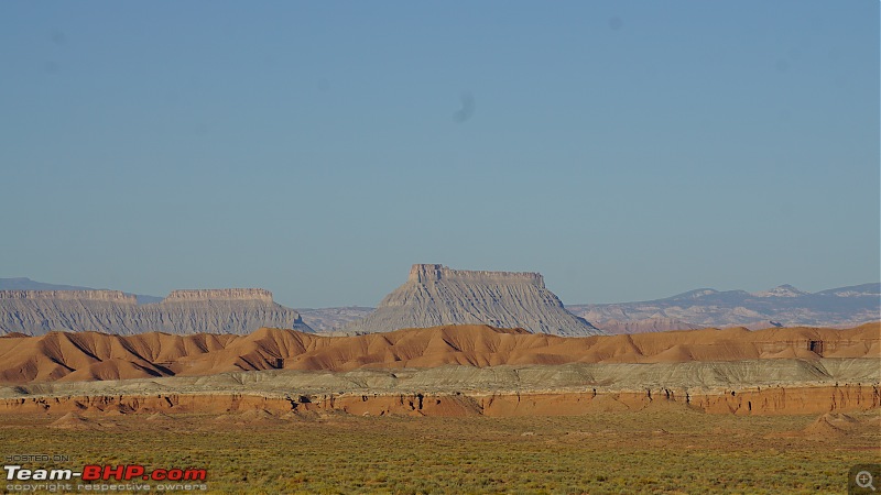
I'll let the pictures do the talking for UT-28:
America, the beautiful : A 10,000 mile road-trip with my parents-5.jpg

America, the beautiful : A 10,000 mile road-trip with my parents-6.jpg

America, the beautiful : A 10,000 mile road-trip with my parents-7.jpg

America, the beautiful : A 10,000 mile road-trip with my parents-12.jpg

America, the beautiful : A 10,000 mile road-trip with my parents-9.jpg

America, the beautiful : A 10,000 mile road-trip with my parents-8.jpg

America, the beautiful : A 10,000 mile road-trip with my parents-10.jpg

America, the beautiful : A 10,000 mile road-trip with my parents-11.jpg

America, the beautiful : A 10,000 mile road-trip with my parents-1.jpg

America, the beautiful : A 10,000 mile road-trip with my parents-2.jpg

America, the beautiful : A 10,000 mile road-trip with my parents-3.jpg

America, the beautiful : A 10,000 mile road-trip with my parents-4.jpg

America, the beautiful : A 10,000 mile road-trip with my parents-13.jpg

Last edited by guyfrmblr : 24th June 2020 at 16:44.
guyfrmblr is offline   (10) Thanks
Old 23rd June 2020, 14:49   #22
Senior - BHPian
 
guyfrmblr's Avatar
 
Join Date: Aug 2011
Location: Boston
Posts: 1,215
Thanked: 4,739 Times
Capitol Reef National Park - Scenic Drive

After enjoying the 100 miles scenic drive on UT-24, we reached the Capitol Reef National Park visitor center at Fruita. Capitol Reef National Park is located in central Utah. The entire National Park is made up of nearly 100 miles of long up-thrust formation called the Waterpocket Fold. Due to its remote location, this National Park gets less visitors compared to the other mighty four.

Our plan was to first drive through the 7.5 mile scenic drive inside the National Park. It takes around 2 hours for the round trip. It's better to avoid driving on the scenic road if it's raining or if it has rained recently as this area is notorious for flash floods. The visitor center has the latest weather information updated by park rangers. It's highly recommended to check the weather conditions before proceeding through the scenic drive.
America, the beautiful : A 10,000 mile road-trip with my parents-dsc05647.jpg

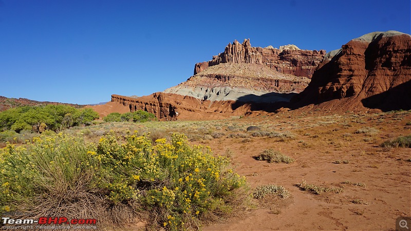
A rock formation near the Fruita visitor center:
America, the beautiful : A 10,000 mile road-trip with my parents-dsc05710.jpg

At Fruita campground - the first stop in the scenic drive. This is the only developed campground in this National Park. There are plenty of fruit trees here:
America, the beautiful : A 10,000 mile road-trip with my parents-dsc05720.jpg

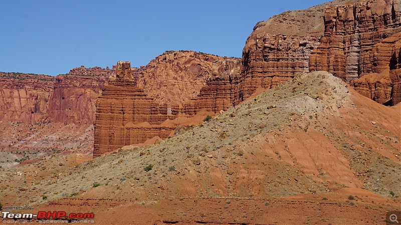
Moenkopi Formation - this a 225 million old rock formation:
America, the beautiful : A 10,000 mile road-trip with my parents-dsc05749.jpg

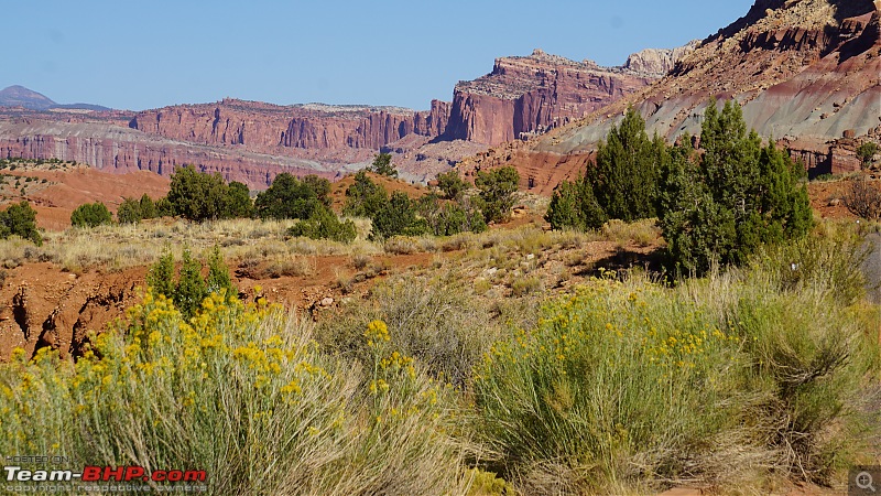
The rugged western escarpment of Capitol Reef:
America, the beautiful : A 10,000 mile road-trip with my parents-dsc05762.jpg

America, the beautiful : A 10,000 mile road-trip with my parents-dsc05750.jpg

America, the beautiful : A 10,000 mile road-trip with my parents-dsc05765.jpg

America, the beautiful : A 10,000 mile road-trip with my parents-dsc05772.jpg

America, the beautiful : A 10,000 mile road-trip with my parents-dsc05781.jpg

Last edited by guyfrmblr : 24th June 2020 at 16:45.
guyfrmblr is offline   (11) Thanks
Old 23rd June 2020, 14:57   #23
Senior - BHPian
 
guyfrmblr's Avatar
 
Join Date: Aug 2011
Location: Boston
Posts: 1,215
Thanked: 4,739 Times
Capitol Reef National Park - Scenic Drive

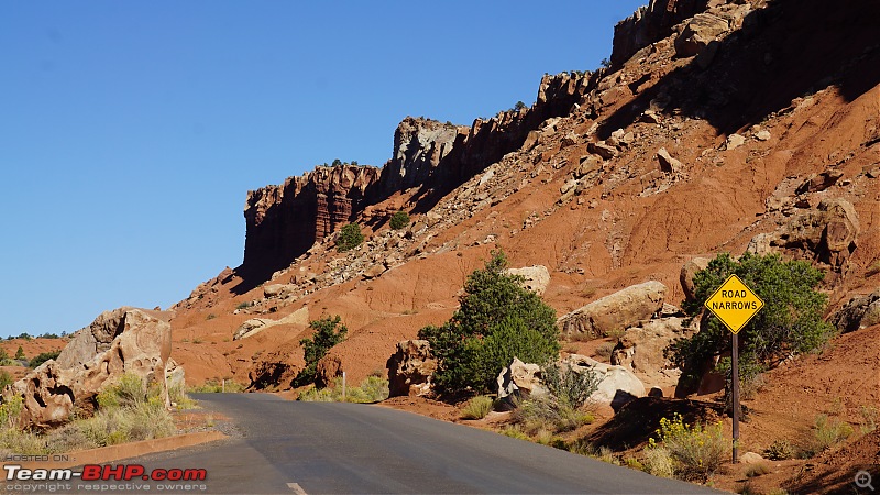
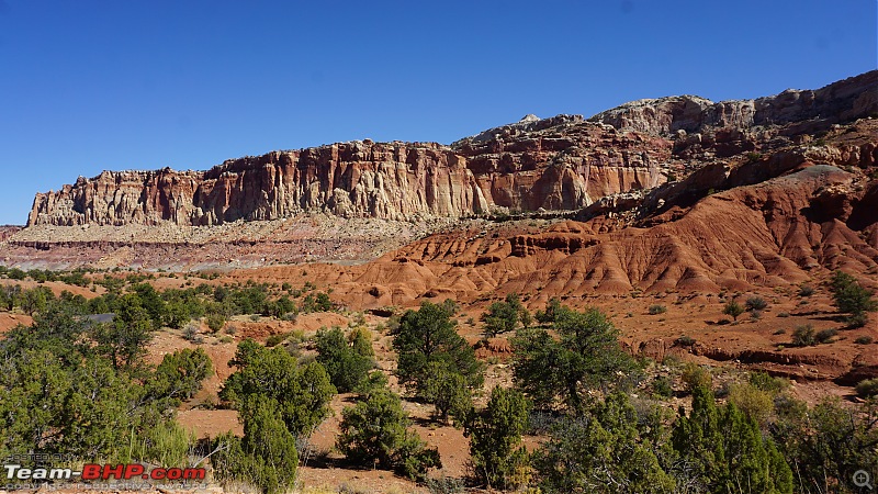
More pics from the beautiful scenic drive. There are countless viewpoints on this drive.
America, the beautiful : A 10,000 mile road-trip with my parents-dsc05923.jpg

America, the beautiful : A 10,000 mile road-trip with my parents-dsc05789.jpg

America, the beautiful : A 10,000 mile road-trip with my parents-dsc05792.jpg

America, the beautiful : A 10,000 mile road-trip with my parents-dsc05801.jpg

America, the beautiful : A 10,000 mile road-trip with my parents-dsc05814.jpg

America, the beautiful : A 10,000 mile road-trip with my parents-dsc05888.jpg

America, the beautiful : A 10,000 mile road-trip with my parents-dsc05931.jpg

America, the beautiful : A 10,000 mile road-trip with my parents-dsc05936.jpg

This is the end of the scenic drive. The Capitol Gorge spur starts here.
America, the beautiful : A 10,000 mile road-trip with my parents-dsc05817.jpg

Last edited by guyfrmblr : 24th June 2020 at 16:45.
guyfrmblr is offline   (13) Thanks
Old 23rd June 2020, 16:10   #24
Senior - BHPian
 
guyfrmblr's Avatar
 
Join Date: Aug 2011
Location: Boston
Posts: 1,215
Thanked: 4,739 Times
Capitol Reef National Park - Capitol Gorge

Capitol Gorge:

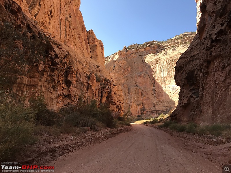
The end of the paved road marks the end of the scenic drive. The unpaved Capitol Gorge spur starts from here. Checking the weather conditions is very important before venturing into this area as its notorious for flash floods. Any vehicle with high ground clearance can easily make it to the Capitol Gorge trailhead parking. Until 1962, this was a through route but now the vehicles are allowed only until the trailhead parking from where one can hike to Pioneer registry or hike further until Golden Throne or Capitol Wash. We decided to just drive up to the parking lot and come back.

The drive is 2.5 miles one way from the end of the scenic drive. The narrow road twists through the canyons between the West face of Capitol Reef and the walls of Grand Wash. It's a thrilling experience to drive on this road. Even a low slung sedan can easily make it to the trailhead parking provided it hasn't rained recently.
America, the beautiful : A 10,000 mile road-trip with my parents-dsc05837.jpg

America, the beautiful : A 10,000 mile road-trip with my parents-dsc05846.jpg

America, the beautiful : A 10,000 mile road-trip with my parents-dsc05850.jpg

America, the beautiful : A 10,000 mile road-trip with my parents-dsc05851.jpg

America, the beautiful : A 10,000 mile road-trip with my parents-dsc05853.jpg

America, the beautiful : A 10,000 mile road-trip with my parents-dsc05857.jpg

America, the beautiful : A 10,000 mile road-trip with my parents-dsc05858.jpg

America, the beautiful : A 10,000 mile road-trip with my parents-dsc05865.jpg

America, the beautiful : A 10,000 mile road-trip with my parents-dsc05868.jpg

America, the beautiful : A 10,000 mile road-trip with my parents-dsc05869.jpg

This part of the road is surrounded by tall walls on all the 4 sides and it almost feels like you are inside a room. Our voice echoes a lot at this place:
America, the beautiful : A 10,000 mile road-trip with my parents-img_1054.jpg

America, the beautiful : A 10,000 mile road-trip with my parents-img_1062.jpg

America, the beautiful : A 10,000 mile road-trip with my parents-img_1075.jpg

There is another spur along the scenic drive which leads to the Grand Wash. There was a warning board at the entrance of the spur which indicated that there was a flood recently and only 4x4 vehicles can access the spur. I didn't want to take risk with the rental car and hence decided not to venture into Grand Wash.

Last edited by guyfrmblr : 24th June 2020 at 16:46.
guyfrmblr is offline   (12) Thanks
Old 23rd June 2020, 16:48   #25
Senior - BHPian
 
guyfrmblr's Avatar
 
Join Date: Aug 2011
Location: Boston
Posts: 1,215
Thanked: 4,739 Times
Capitol Reef National Park - Panorama Point

Once we made it back from the scenic drive to the visitor center, we took UT-24 W to visit the Panorama point. As the name suggests, this viewpoint provides a panoramic view of the Northern part of the Capitol Reef National park and is a must visit.

Few pics from the Panorama point. UT-24 can be seen winding though the canyons:
America, the beautiful : A 10,000 mile road-trip with my parents-dsc05948.jpg

The unpaved road leads you to Goosenecks Overlook:
America, the beautiful : A 10,000 mile road-trip with my parents-dsc05949.jpg

America, the beautiful : A 10,000 mile road-trip with my parents-dsc05955.jpg

America, the beautiful : A 10,000 mile road-trip with my parents-dsc05956.jpg

America, the beautiful : A 10,000 mile road-trip with my parents-dsc06006.jpg

America, the beautiful : A 10,000 mile road-trip with my parents-dsc05944.jpg

America, the beautiful : A 10,000 mile road-trip with my parents-dsc05945.jpg

In the evening, we made it back to our hotel at Green River through the scenic UT-24.
America, the beautiful : A 10,000 mile road-trip with my parents-dsc06017.jpg

Last edited by guyfrmblr : 24th June 2020 at 16:48.
guyfrmblr is offline   (13) Thanks
Old 23rd June 2020, 21:01   #26
Senior - BHPian
 
guyfrmblr's Avatar
 
Join Date: Aug 2011
Location: Boston
Posts: 1,215
Thanked: 4,739 Times
Dixie National Forest

Dixie National Forest:

I had not planned anything for the 7th day as I thought of having it as a buffer or rest day. Everything went as planned on all the previous 6 days and hence I asked my parents if they want to take rest this day. The answer was a straight NO

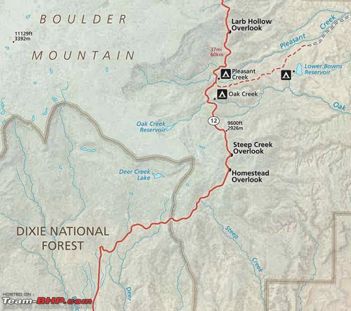
Since nothing was planned, I thought of just exploring some places in Utah. I opened Google maps and started scanning for some interesting places around Green River. I came across Dixie National Forest on UT-12 after Capitol Reef National Park towards the town of Boulder. I also remembered seeing this in the Capitol Reef National park map. Quickly opened the map and found UT-12 had few scenic overlooks. Since we were so impressed by the previous day drive to Capitol Reef, we decided to give it a try.

The overlooks we planned to visit can be seen in the map - Larb Hollow, Steep Creek and Homestead overlook. I calculated the distance and it came out to around 122 miles from Green River. The icing on the cake was we had to pass through Capitol Reef to reach this place and we got another chance to drive through the beautiful UT-24:
Name:  Capitol_Reef.png
Views: 2125
Size:  808.3 KB

As Dixie national forest was pretty close to Capitol Reef, we expected a desert landscape with desert shrubs but we were wrong. As soon as we crossed took the turn to UT-12 from UT-24, the landscape started turning greener:
America, the beautiful : A 10,000 mile road-trip with my parents-dsc06025.jpg

And in another 5-6 miles, we were driving inside a forest with Pine trees. We couldn't believe what we were seeing. Just 5 miles back we were driving across rocks and canyons and now all of a sudden we were in the middle of Pine trees.
America, the beautiful : A 10,000 mile road-trip with my parents-dsc06029.jpg

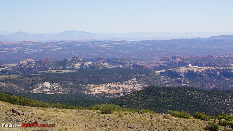
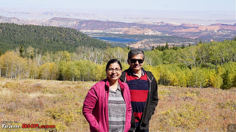
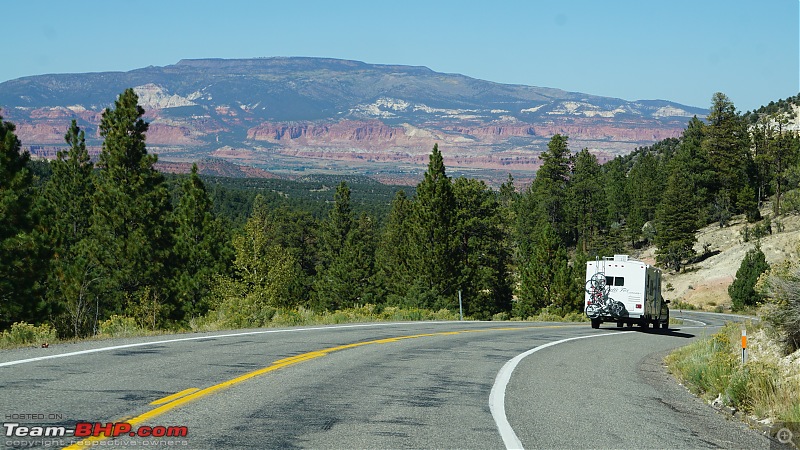
UT-12 started ascending onto the Boulder mountain and within no time, we were at the first overlook which is at an elevation of 3000 feet - Larb Hollow overlook. The views from this overlook were great. The La Sal mountains can be seen from here:
America, the beautiful : A 10,000 mile road-trip with my parents-dsc06033.jpg

America, the beautiful : A 10,000 mile road-trip with my parents-dsc06051.jpg


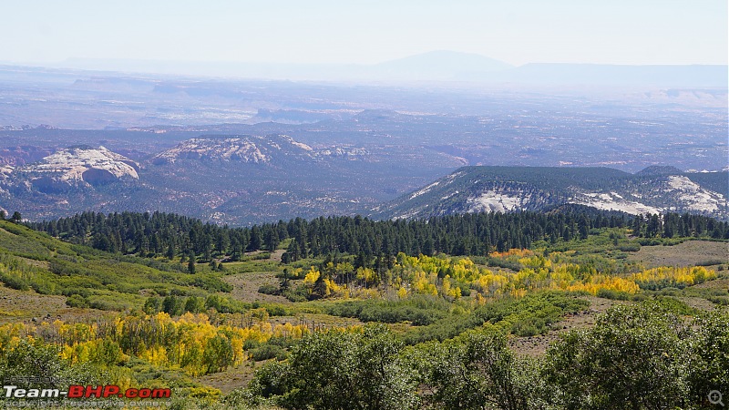
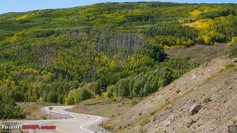
Since it was the beginning of the fall season, the foliage had already started changing colors at higher elevations:
America, the beautiful : A 10,000 mile road-trip with my parents-dsc06055.jpg

America, the beautiful : A 10,000 mile road-trip with my parents-dsc06087.jpg

America, the beautiful : A 10,000 mile road-trip with my parents-dsc06088.jpg

We drove for few more miles further on UT-12 towards Boulder and reached the second overlook - Steep Creek overlook which is at an elevation of around 6000 feet. The views were awesome from this overlook. The entire length of the Capitol Reef's Waterpocket can be seen from here. It appeared so huge when we were inside the NP but here it just looks like a tiny bump. That explains the height at which this overlook is situated:
America, the beautiful : A 10,000 mile road-trip with my parents-dsc06102.jpg

America, the beautiful : A 10,000 mile road-trip with my parents-dsc06104.jpg

America, the beautiful : A 10,000 mile road-trip with my parents-dsc06126.jpg

Even the mountains in Colorado are visible from here:
America, the beautiful : A 10,000 mile road-trip with my parents-dsc06129.jpg

America, the beautiful : A 10,000 mile road-trip with my parents-dsc06148.jpg

Last edited by guyfrmblr : 24th June 2020 at 16:49.
guyfrmblr is offline   (11) Thanks
Old 23rd June 2020, 21:14   #27
Senior - BHPian
 
guyfrmblr's Avatar
 
Join Date: Aug 2011
Location: Boston
Posts: 1,215
Thanked: 4,739 Times
Dixie National Forest

We drove further ahead on UT-12 towards Boulder and we were staring at this board. We reached The Boulder Mountain summit which is at an elevation of 9600 feet. While it was 25 C at the bottom of the mountain, it was -6 C here. Fortunately we had our winter clothes in the boot:
America, the beautiful : A 10,000 mile road-trip with my parents-dsc06150.jpg

The Homestead overlook is just ahead of the summit and the view from here was fantastic. All the so called mighty National Parks like Arches, Canyonlands, Captiol Reef with great canyons, rock patterns and what not just looked like tiny gravel on the road It was almost like watching these National Parks from flight:
America, the beautiful : A 10,000 mile road-trip with my parents-dsc06195.jpg

America, the beautiful : A 10,000 mile road-trip with my parents-dsc06221.jpg

We couldn't spend much time at this overlook due to the wind chill and we started descending back:
America, the beautiful : A 10,000 mile road-trip with my parents-dsc06152.jpg

America, the beautiful : A 10,000 mile road-trip with my parents-dsc06161.jpg

America, the beautiful : A 10,000 mile road-trip with my parents-dsc06163.jpg

America, the beautiful : A 10,000 mile road-trip with my parents-dsc06167.jpg

America, the beautiful : A 10,000 mile road-trip with my parents-dsc06169.jpg

The fall colors were more prominent at higher elevations due to the cold climate:
America, the beautiful : A 10,000 mile road-trip with my parents-dsc06177.jpg

America, the beautiful : A 10,000 mile road-trip with my parents-dsc06242.jpg

Few miles down the road and we were staring at desert landscape again. I have never seen such a drastic change in geography anywhere else:
America, the beautiful : A 10,000 mile road-trip with my parents-dsc06252.jpg

Last edited by guyfrmblr : 24th June 2020 at 16:49.
guyfrmblr is offline   (13) Thanks
Old 24th June 2020, 10:24   #28
Senior - BHPian
 
guyfrmblr's Avatar
 
Join Date: Aug 2011
Location: Boston
Posts: 1,215
Thanked: 4,739 Times
Fishlake National Forest

Fishlake National Forest:

It was still noon by the time we came out of Dixie National Forest and we were in no mood to go back to the hotel. I opened Google Maps and chalked out a quick plan to explore Fish Lake and surrounding areas before heading back to hotel. Fish Lake was just 50 miles away from the Larb Hollow overlook. We had to take UT-24 W and turn right onto UT-25 E.

This was the route I planned from Larb Hollow overlook to our hotel in Green River through Fishlake National forest. The total driving distance was 172 miles and with all the stops in between, our plan was to reach hotel sometime around 6-7 PM:
America, the beautiful : A 10,000 mile road-trip with my parents-route.png

Fish Lake:

We never knew what was in store for us at Fish Lake. Since our plan for the day was just to explore, we took a chance and planned to visit that place. And we were not disappointed. We joined back UT-24 from UT-12. UT-24 W from Teasdale to UT-25 junction was pretty boring with flatlands and fields. But as soon as we took a right at UT-25 towards Fish Lake, this scene greeted us:
America, the beautiful : A 10,000 mile road-trip with my parents-dsc06264.jpg

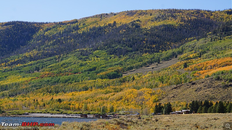
In few miles, we were treated to the aerial view of Fish Lake and beautiful Aspen trees surrounding it:
America, the beautiful : A 10,000 mile road-trip with my parents-dsc06268.jpg

America, the beautiful : A 10,000 mile road-trip with my parents-dsc06270.jpg

View of the Pando Aspen forest. This place reminds me of the beautiful Aspen forests found in Colorado:
America, the beautiful : A 10,000 mile road-trip with my parents-dsc06282.jpg

We drove towards the Fish Lake and found just a truck with nobody around:
America, the beautiful : A 10,000 mile road-trip with my parents-dsc06296.jpg

Beautiful Aspen trees displaying fall colors:
America, the beautiful : A 10,000 mile road-trip with my parents-dsc06297.jpg

Twin Creek picnic area:
America, the beautiful : A 10,000 mile road-trip with my parents-dsc06316.jpg

The water in this small stream called Twin Creek was freezing:
America, the beautiful : A 10,000 mile road-trip with my parents-dsc06319.jpg

America, the beautiful : A 10,000 mile road-trip with my parents-dsc06344.jpg

This is the place where Twin Creek flows into Fish Lake:
America, the beautiful : A 10,000 mile road-trip with my parents-dsc06322.jpg

America, the beautiful : A 10,000 mile road-trip with my parents-dsc06347.jpg

The beautiful UT-25 at Fish Lake:
America, the beautiful : A 10,000 mile road-trip with my parents-dsc06348.jpg

Last edited by guyfrmblr : 24th June 2020 at 16:50.
guyfrmblr is offline   (12) Thanks
Old 24th June 2020, 11:18   #29
Senior - BHPian
 
guyfrmblr's Avatar
 
Join Date: Aug 2011
Location: Boston
Posts: 1,215
Thanked: 4,739 Times
Fishlake National Forest - Joe Bush Fisherman Recreation Site

Joe Bush Fisherman Recreation Site:

We spent lot of time roaming around the Fish Lake. The weather was so pleasant and it was a blissful experience walking around the place. It was so calm and peaceful. We then drove further ahead to Joe Bush Fisherman Recreation site. From here, the panoramic view of the mountain behind the Fish Lake can be seen.

The beautiful Aspen trees displaying fall colors:
America, the beautiful : A 10,000 mile road-trip with my parents-dsc06352.jpg

America, the beautiful : A 10,000 mile road-trip with my parents-dsc06359.jpg

America, the beautiful : A 10,000 mile road-trip with my parents-dsc06360.jpg

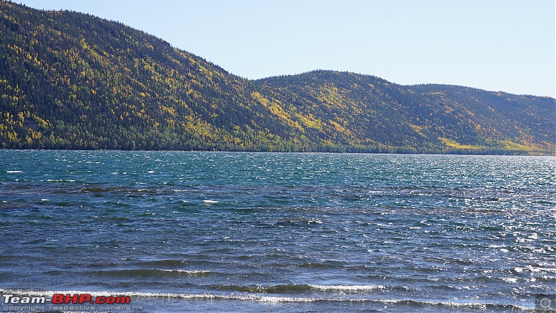
Crystal clear freezing water of the Fish Lake:
America, the beautiful : A 10,000 mile road-trip with my parents-dsc06361.jpg

America, the beautiful : A 10,000 mile road-trip with my parents-dsc06363.jpg

We took this small trail with beautiful views:
America, the beautiful : A 10,000 mile road-trip with my parents-dsc06372.jpg

America, the beautiful : A 10,000 mile road-trip with my parents-dsc06381.jpg

This road from the site looked so inviting. So instead of driving back in UT-25 to connect to UT-72 (our route back to Green River), we decided to take this route. UT-25 ends at Fish Lake. From here it's just a numbered forest route. I checked the maps and saw that this connects to UT-72 near Mill Meadow Reservoir:
America, the beautiful : A 10,000 mile road-trip with my parents-dsc06388.jpg

Last edited by guyfrmblr : 24th June 2020 at 16:51.
guyfrmblr is offline   (10) Thanks
Old 24th June 2020, 11:34   #30
Senior - BHPian
 
guyfrmblr's Avatar
 
Join Date: Aug 2011
Location: Boston
Posts: 1,215
Thanked: 4,739 Times
Fishlake National Forest - FR640

FR640:

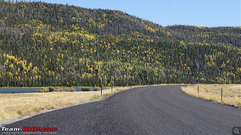
As I mentioned in my previous post, instead of driving back on UT-25, we took the Forest Route 640 (FR640) just for exploration. It had a fresh coat of asphalt and looked so inviting. We later realized that this was a good decision.

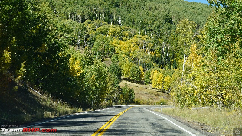
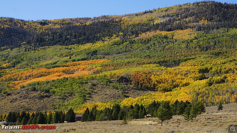
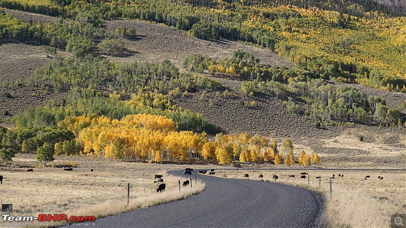
FR640 was very scenic with Aspen trees displaying bright fall colors all over the place. There are lots of scenic stops along this route:
America, the beautiful : A 10,000 mile road-trip with my parents-dsc06440.jpg

Lots of cows could be seen grazing:
America, the beautiful : A 10,000 mile road-trip with my parents-dsc06402.jpg

America, the beautiful : A 10,000 mile road-trip with my parents-dsc06403.jpg

America, the beautiful : A 10,000 mile road-trip with my parents-dsc06404.jpg

America, the beautiful : A 10,000 mile road-trip with my parents-dsc06405.jpg

America, the beautiful : A 10,000 mile road-trip with my parents-dsc06406.jpg

America, the beautiful : A 10,000 mile road-trip with my parents-dsc06407.jpg

America, the beautiful : A 10,000 mile road-trip with my parents-dsc06425.jpg

America, the beautiful : A 10,000 mile road-trip with my parents-dsc06439.jpg

Last edited by guyfrmblr : 24th June 2020 at 16:51.
guyfrmblr is offline   (11) Thanks
Reply

Most Viewed


Copyright ©2000 - 2024, Team-BHP.com
Proudly powered by E2E Networks