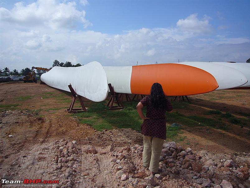
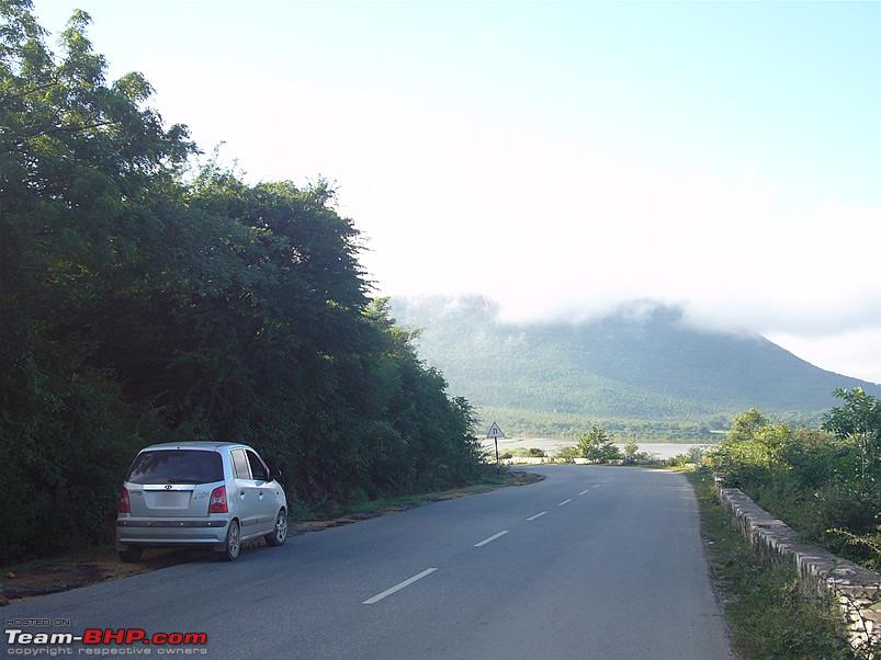
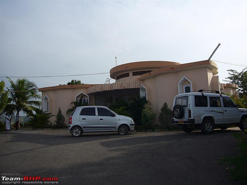
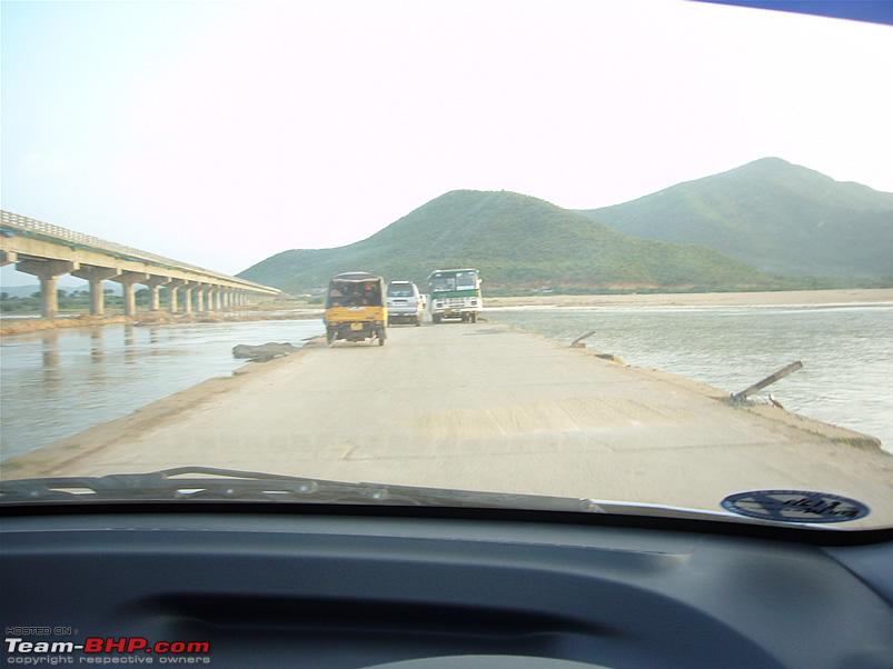
Another 'Blast from the past' from my archives. This trip is quite recent though, from November 08. The main purpose of the trip was to attend my relative's wedding in AP. Since we were driving into the interiors, we thought of visiting some lesser known places which are somewhat off the beaten track.
Route taken:
Bangalore > Hoskote > Chintamani > Madanapalle > Gurramkonda > Rayachoti > Cuddapah > Vontimitta > Siddhavatam > Brahmamgarimatam.
Main places visited: Gurramkonda
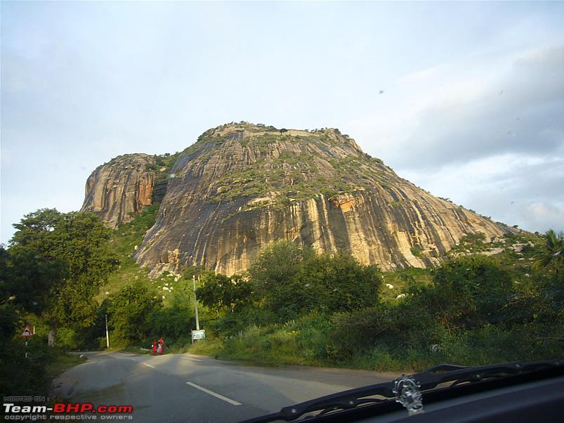
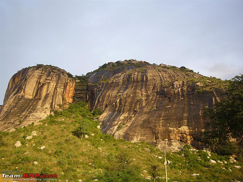
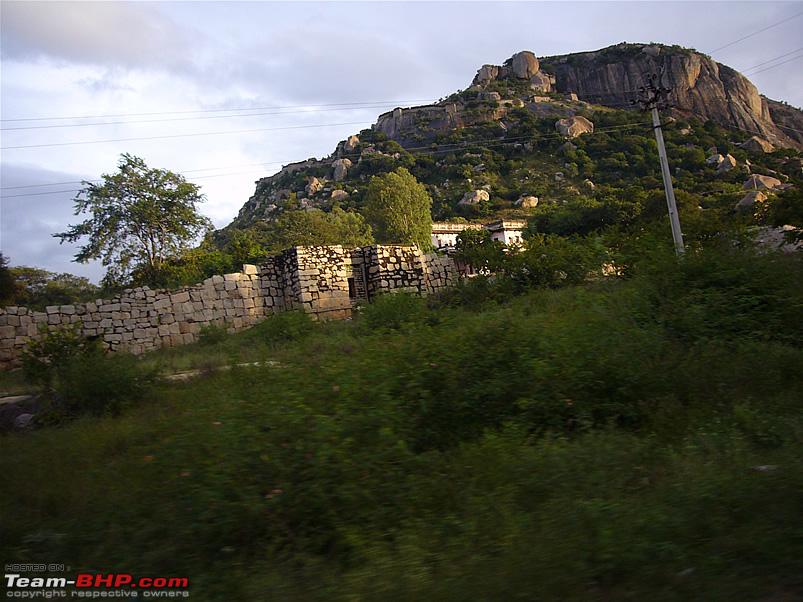
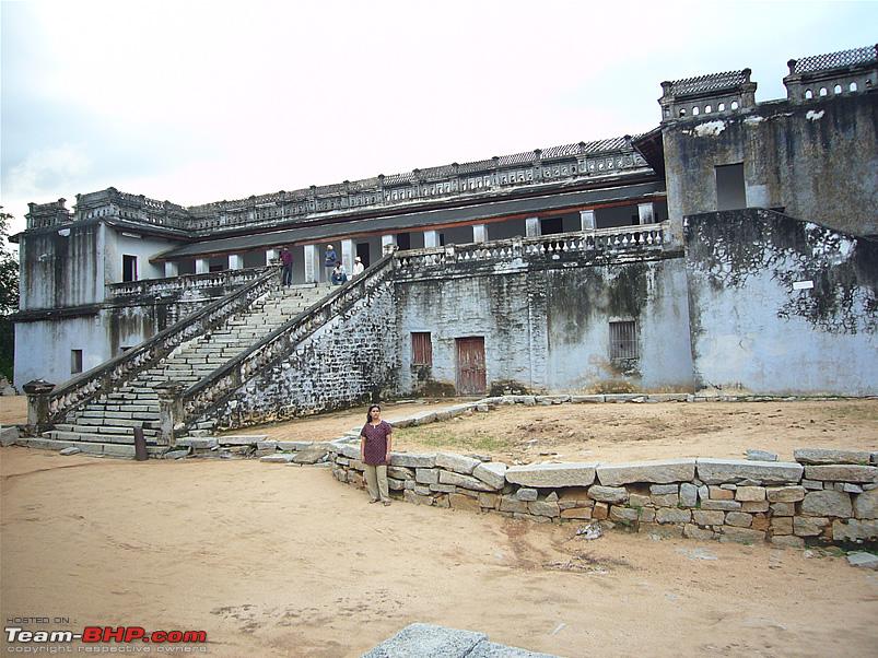
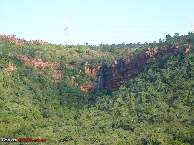
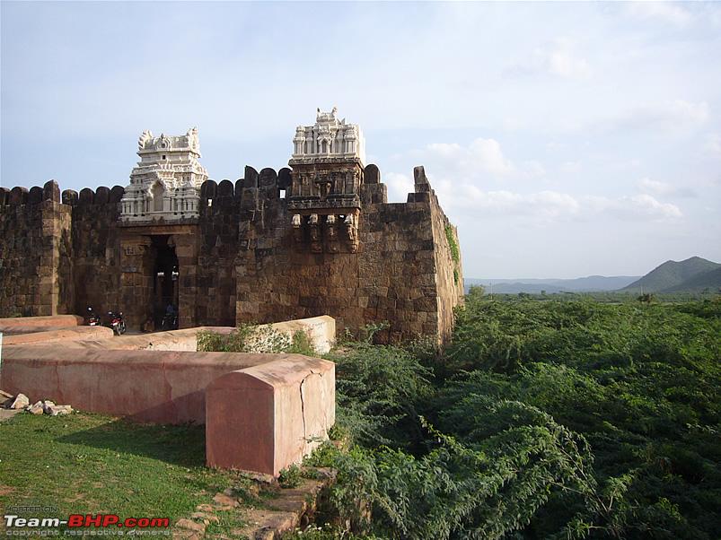
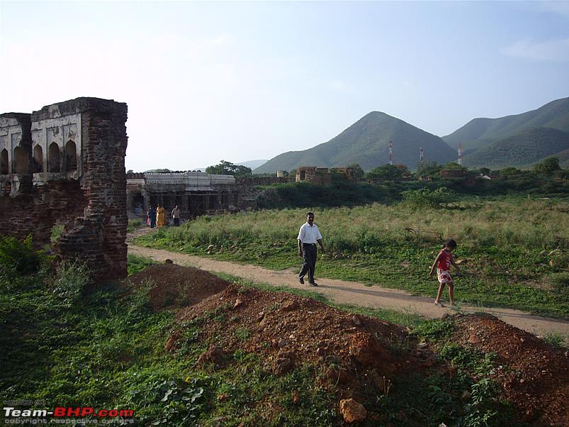
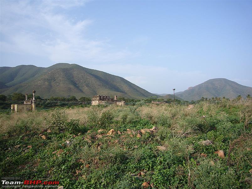
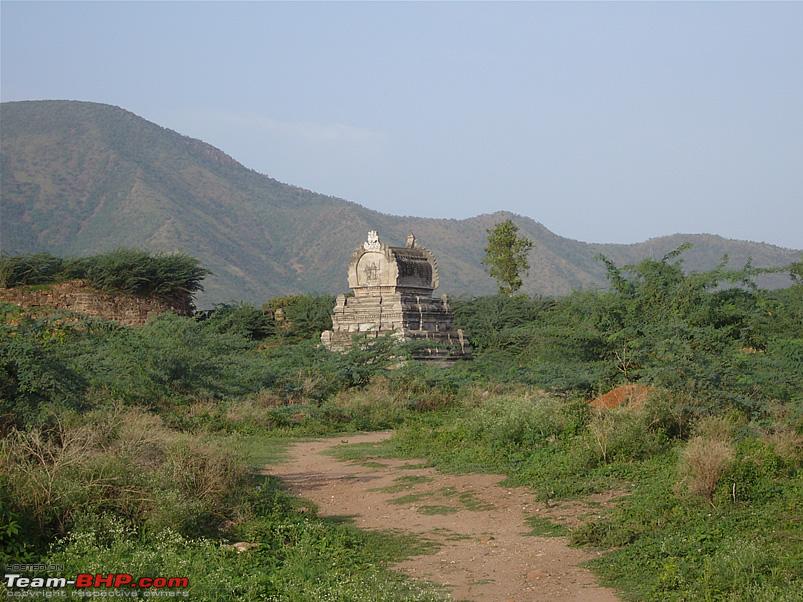
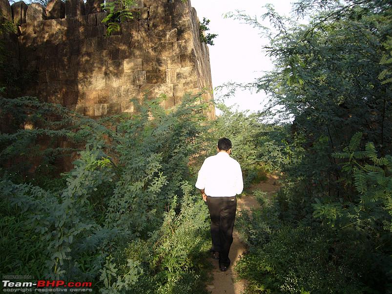
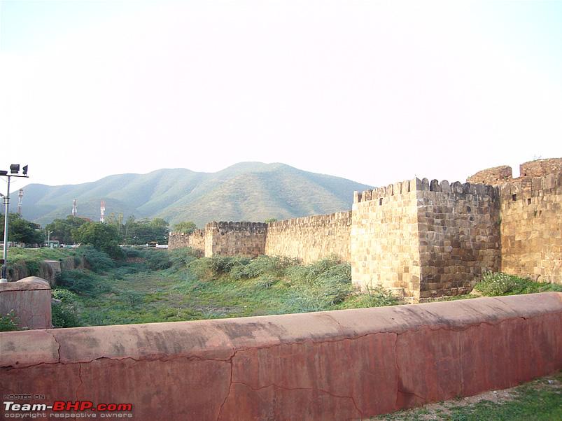
Gurramkonda (Gurram-Konda means Horse-hill) is a hill-fort located in Chittoor district on the Cuddapah (Kadapa) - Bangalore highway, around 32kms from Madanapalle. The fort stands on top of a 500ft hill with three almost perpendicular sides.
The fort was originally a mud & rock construction, under the control of the Vijayanagara (Hampi) kingdom. Later it passed through the hands of the Golconda sultans who strengthened the fortifications with rock walls, later the fort was taken over by the Marathas, the Cuddapah Nawabs, Hyder Ali & Tipu Sultan and was eventually by the British.
According to local legend, the hill-fort was called 'Gurramkonda' since there was a statue of a horse on top of the hill, which was believed to be the guardian of the fort. The fort was impregnable so long as the horse remained there. When the Marathas laid siege on the hill, they tried every trick in the book to conquer the fort but could not do so. When they learnt about the legend of the horse statue, a Maratha chief managed to scale the hill one night and carry away the horse. Thus the spell was broken and on the next attack, the fort fell to the Marathas.
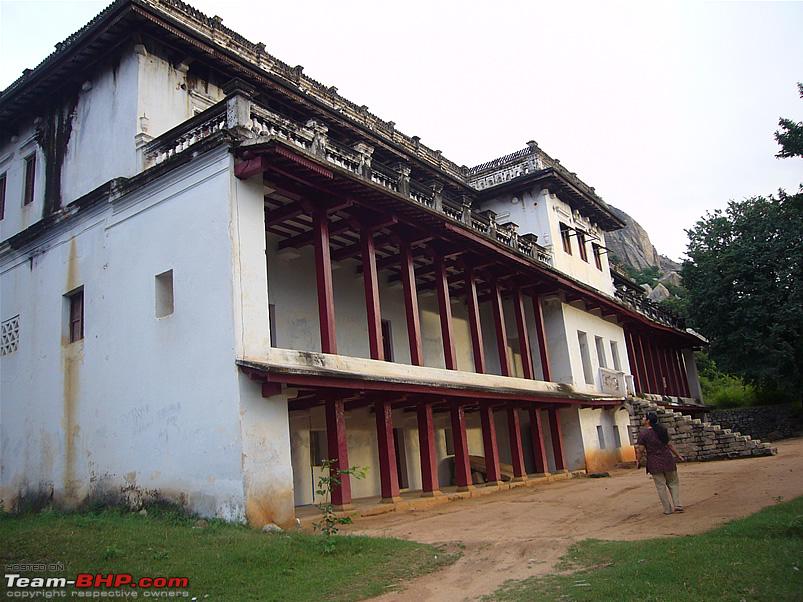
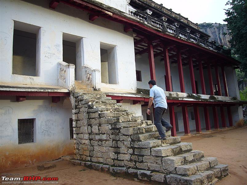
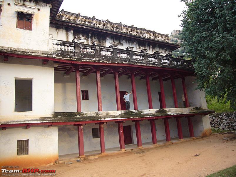
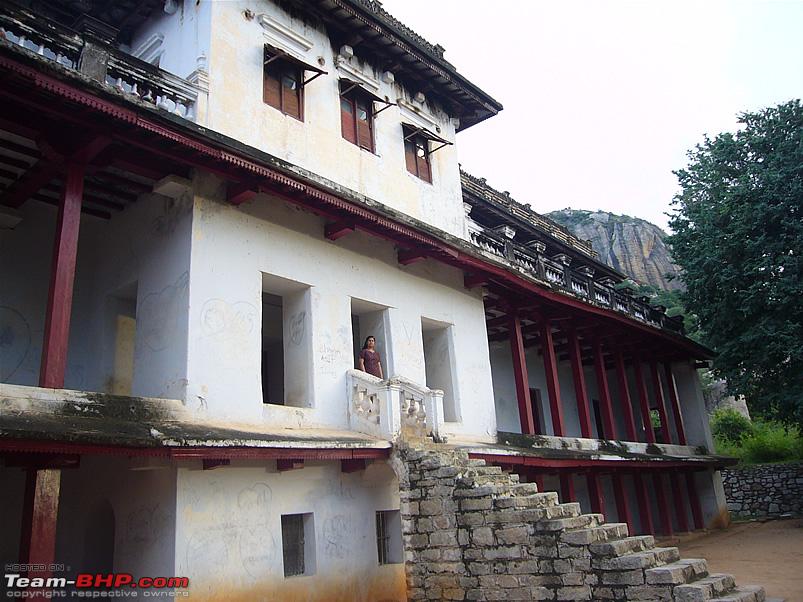
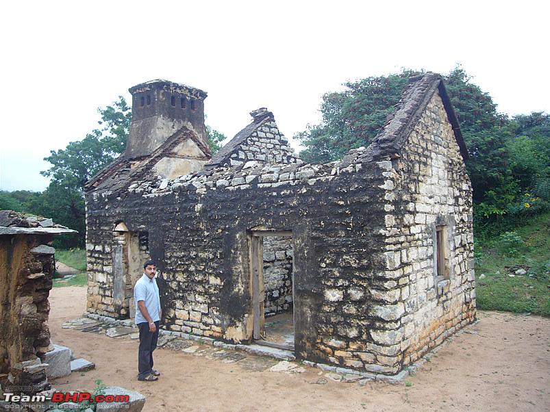
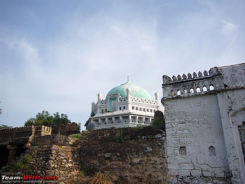
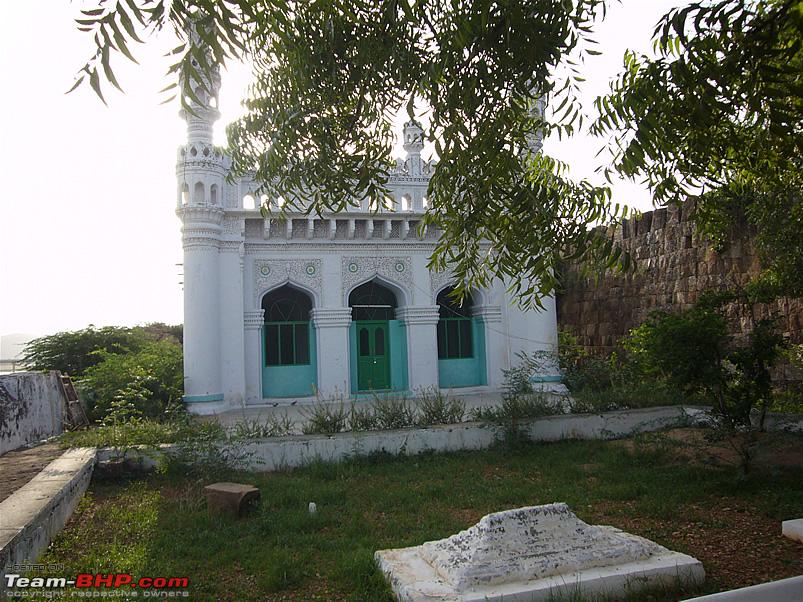
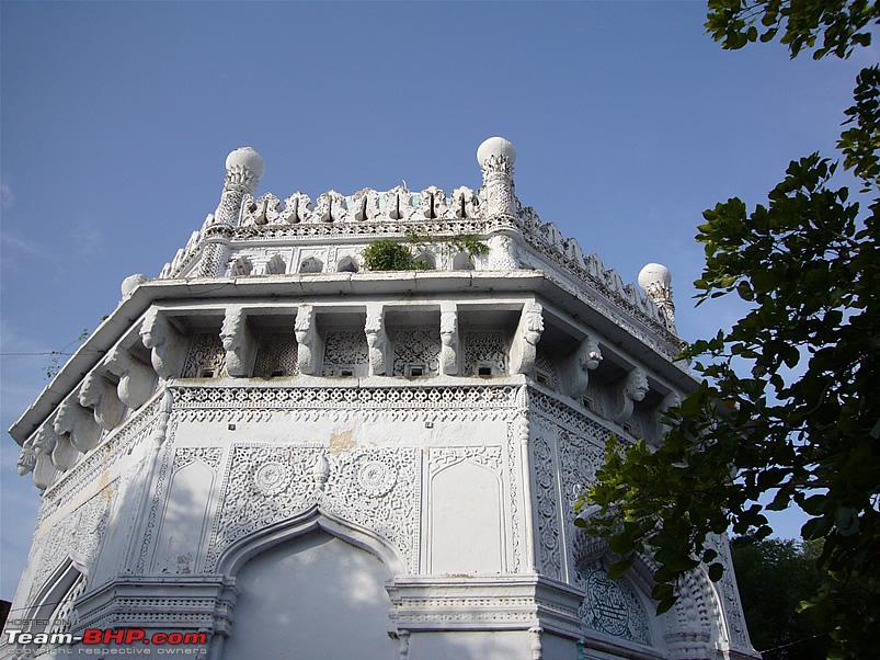
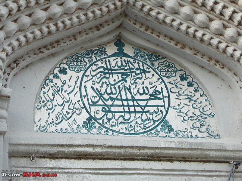
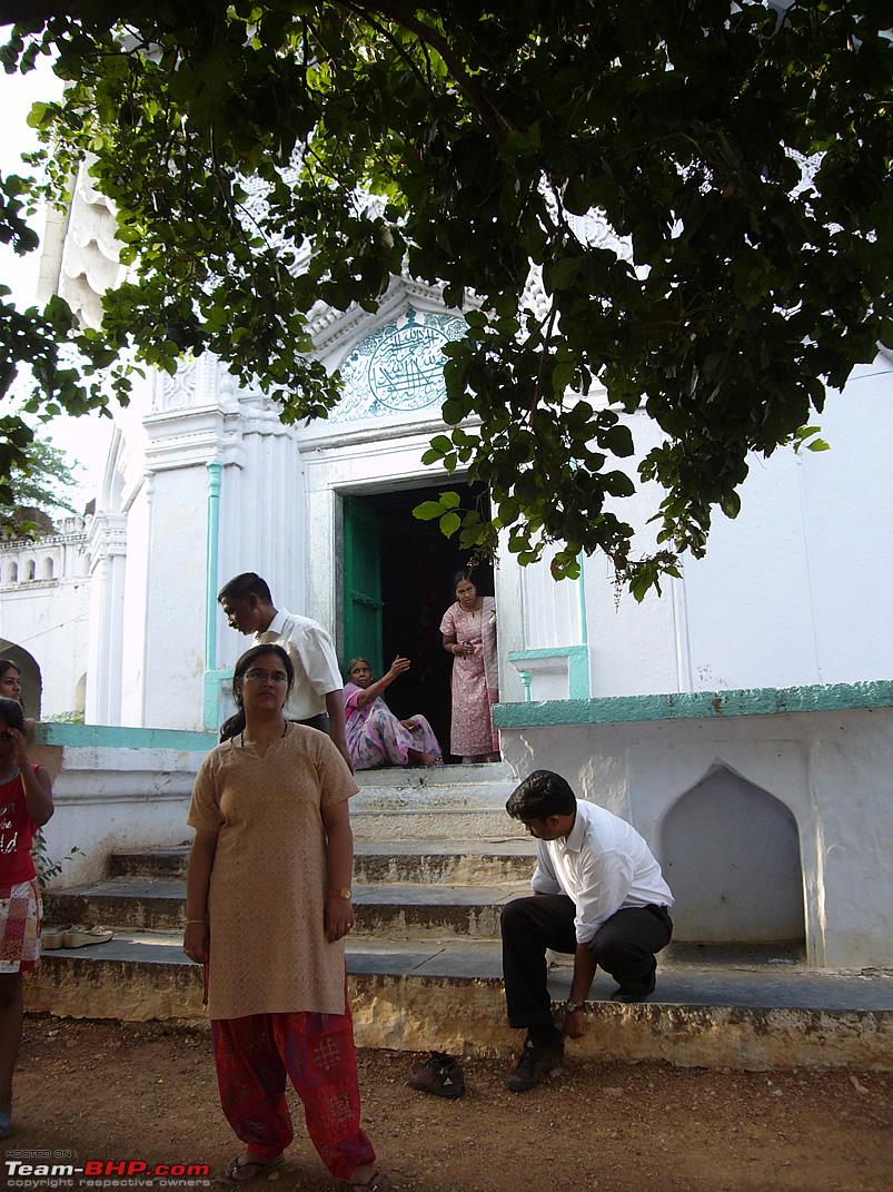
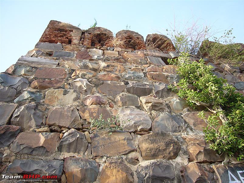
Apart from a couple of temples on the hill, the main places to see are the fort ramparts, the Ranginimahal palace and the tomb of Mir Raza Ali Khan, who was Tipu Sultan's maternal uncle.
As a kid, I used to visit Kadapa quite often and every time we passed through Gurramkonda I would stare at the 'Ranginimahal' palace which is visible from the main road. I was quite fascinated by the quaint old structure, but never actually got the opportunity to stop and take a closer look at it. This time around I finally got to see Gurramkonda fort and the Ranginimahal from close quarters.
Some interesting pics and perspectives that capture the essence of Gurramkonda better than any of my pics do...
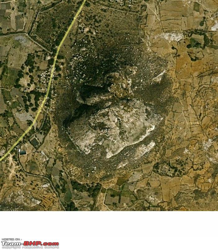
A Satellite pic of the Gurramkonda hill... 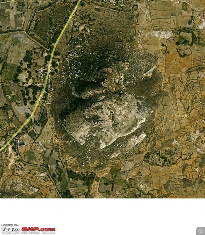
Courtesy: Google maps.
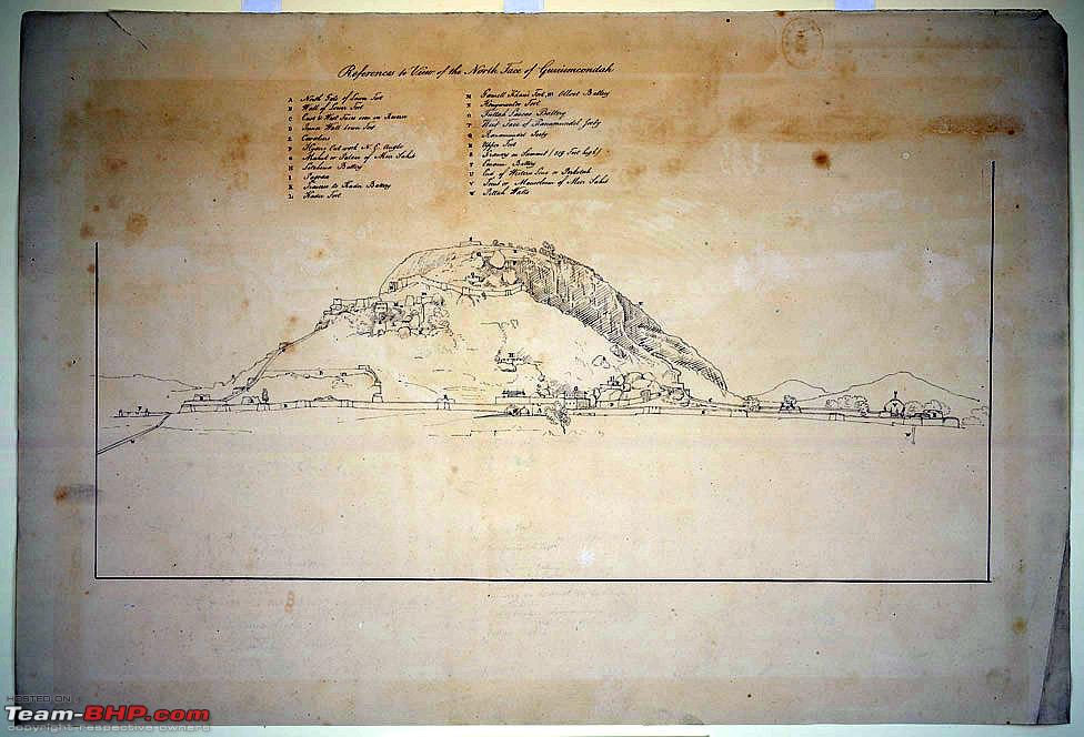
A pen & ink drawing of the Gurramkonda, made in 1802 by Thomas Fraser, a surveyor with the Madras Engineers... 
Courtesy: British Library
A painting of the Gurramkonda fort by Thomas Fraser... 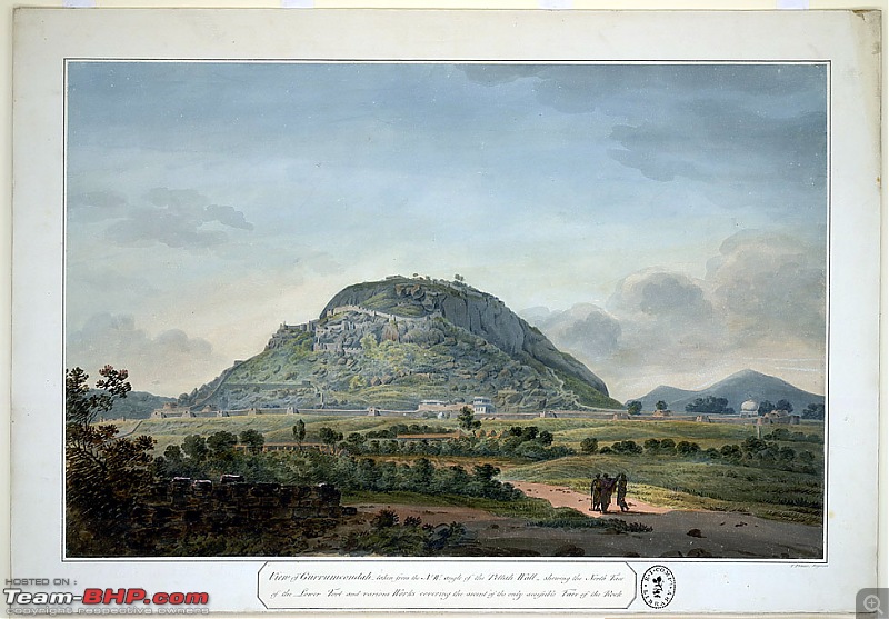
Courtesy: British Library
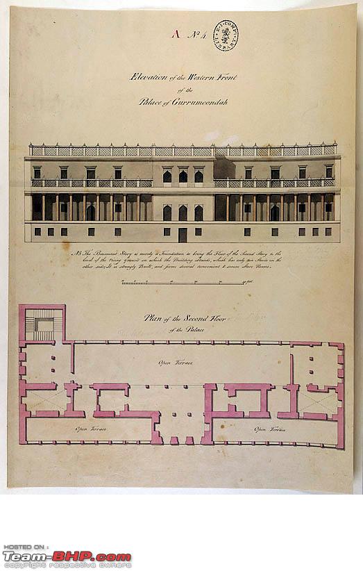
Description of the layout and the elevation of the Ranginimahal palace in Gurramkonda, drafted by Thomas Fraser... 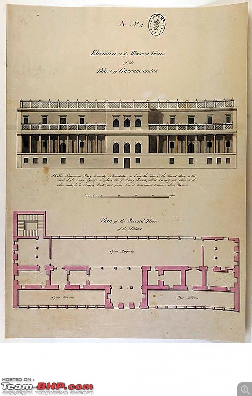
Courtesy: British Library
A pic taken by the Archeological Survey of India, in 1898, which shows the eastern side of the Ranginimahal palace, Gurramkonda... 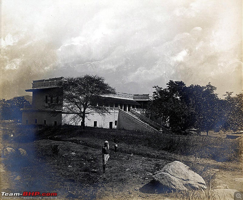
Courtesy: British Library
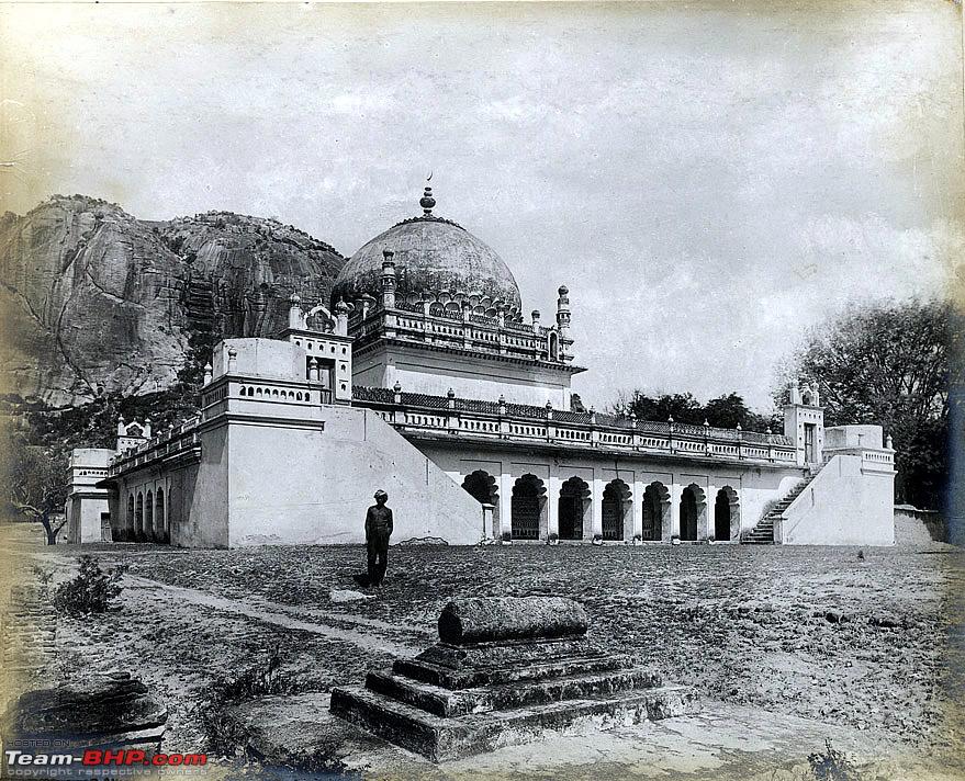
A pic taken by the Archeological Survey of India, in 1898, showing the tomb of Mir Raza Ali Khan... 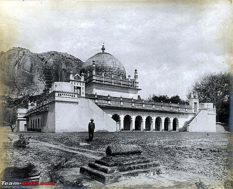
Courtesy: British Library
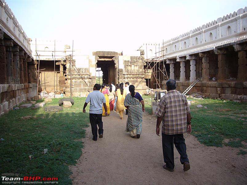
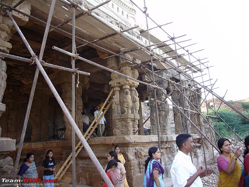
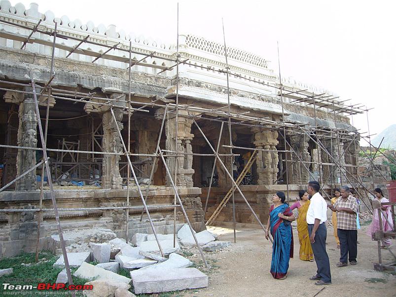
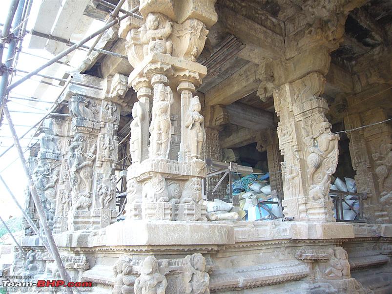
Vontimitta (Ontimitta)
The small town is situated about 28 kilometers from Kadapa on the Kadapa - Chennai main road. Though there are several stories about why town got its name, the most plausible story seems to be that as the town is located on a single hillock, it was called 'Vonti-mitta, i.e. single-hillock.
The other version is that two locals Vontodu and Mittodu helped a King who had camped in that area and the King gave them ownership of that area as a reward. The village that came up in that area was named after the first part of both their names and hence Vonti-Mitta.
Another legend says that the idol in the Kodandarama temple here is carved from a single stone, hence the temple was called the 'onti-mitta' temple, i.e. single rock.
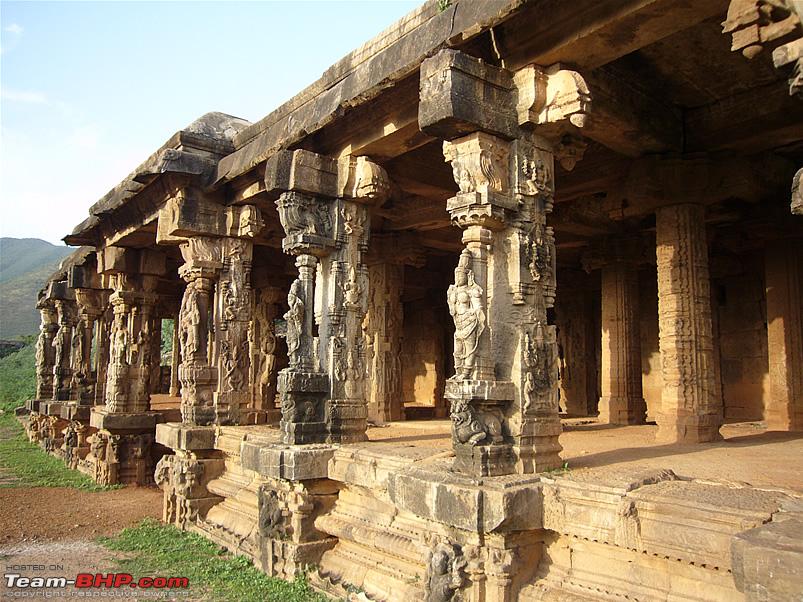
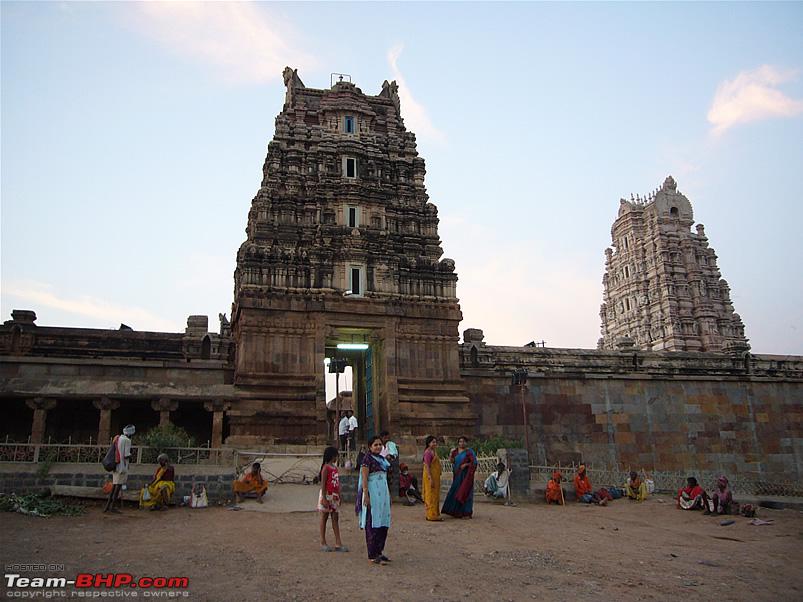
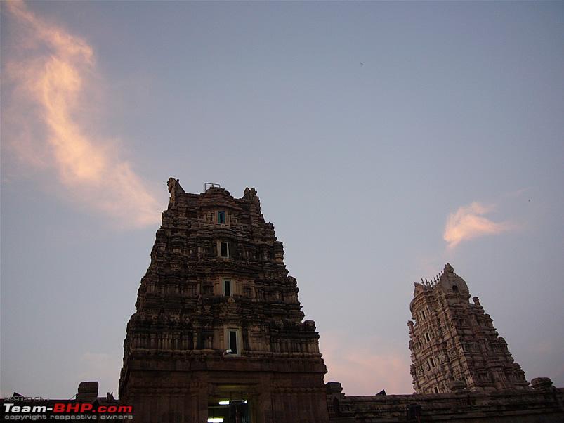
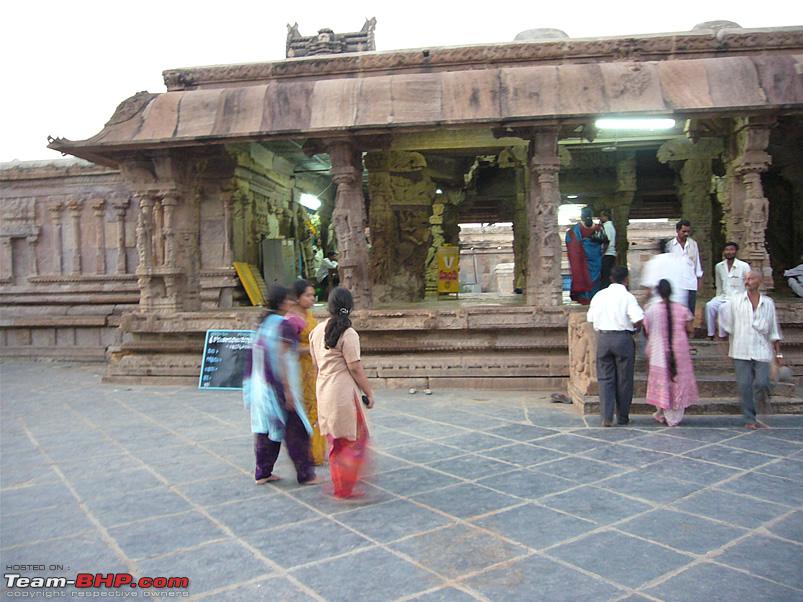
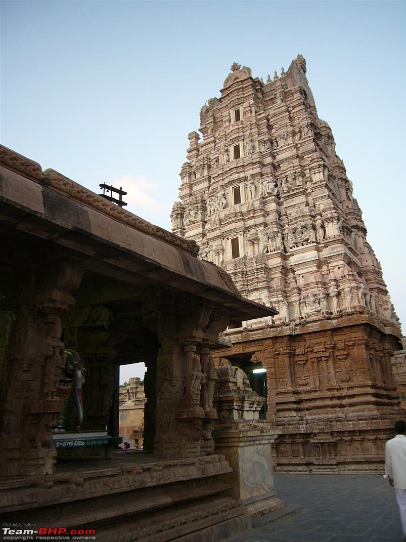
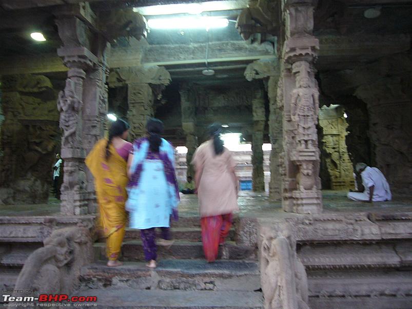
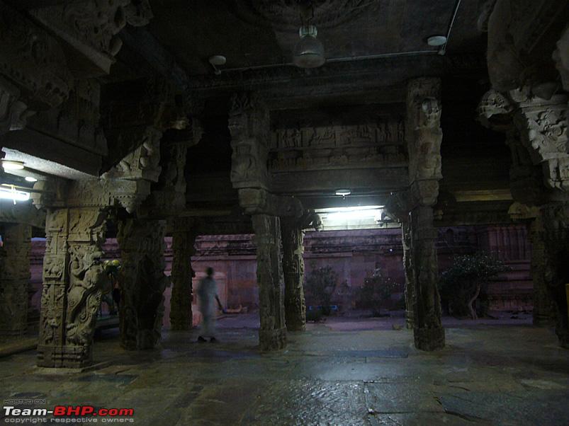
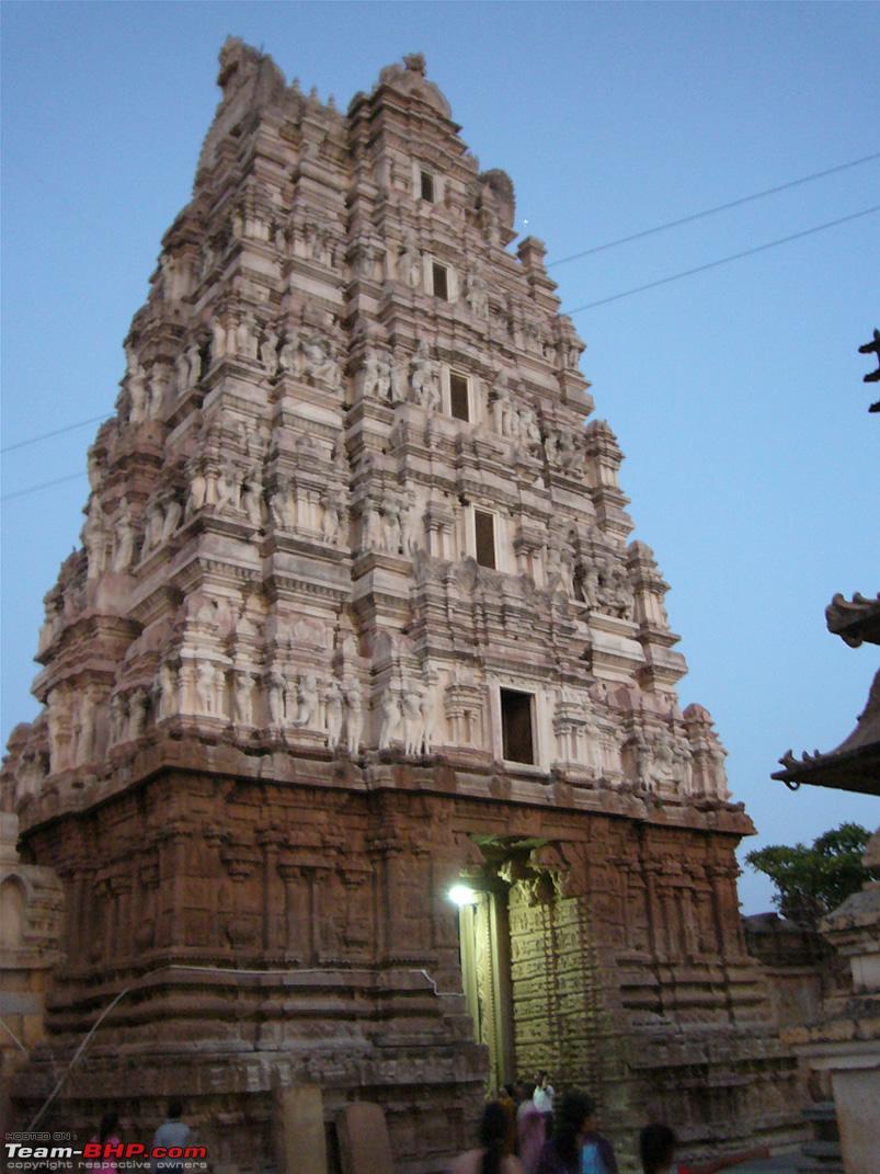
The main place to see in this town is the temple of Sri Kodandarama, a 14th century structure which was originally developed by the Cholas and later by the Vijayanagara kings. There are also several local legends linking this area to the Ramayana.
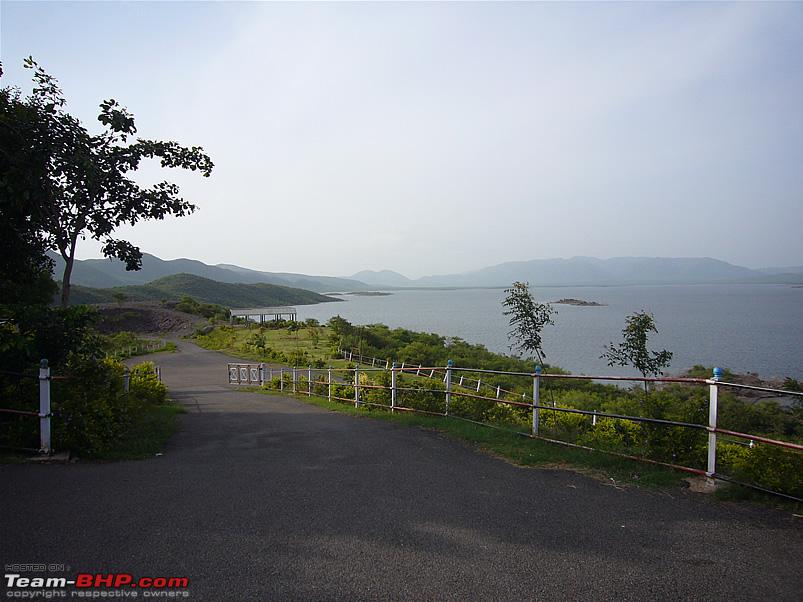
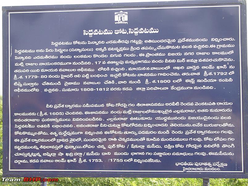
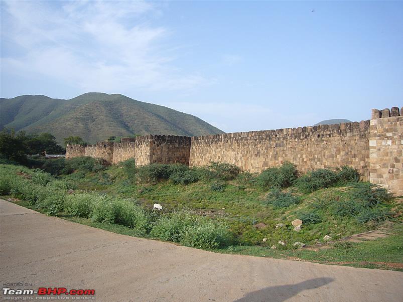
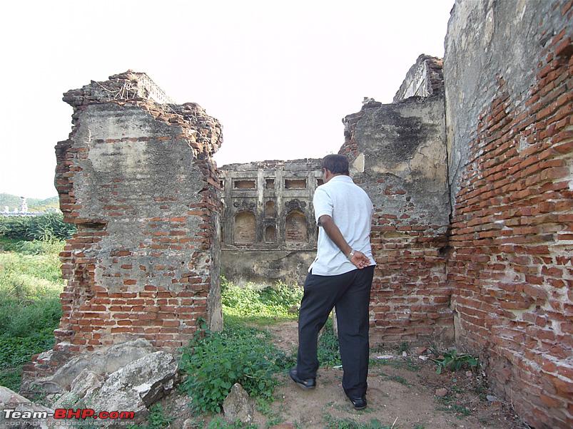
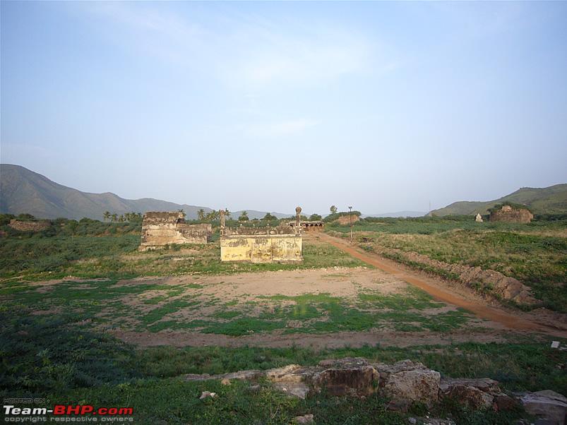
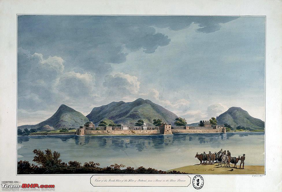
Siddhavatam
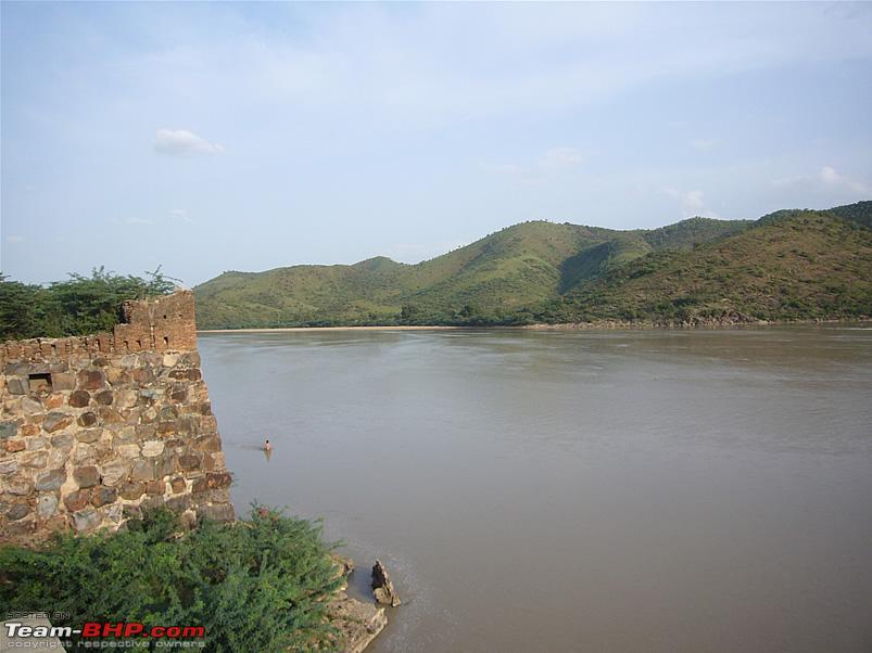
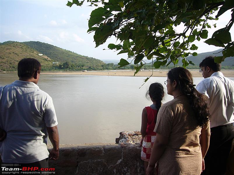
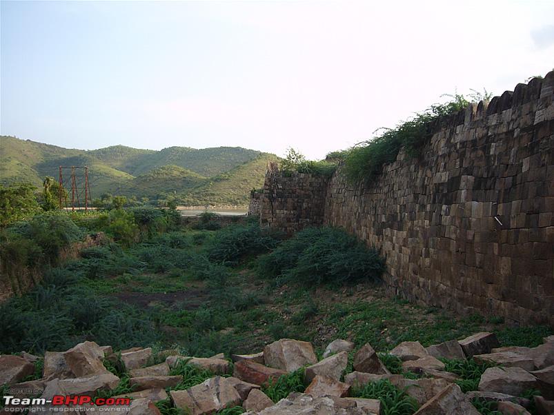
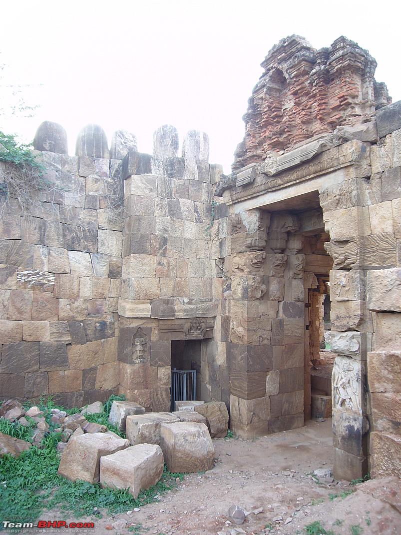
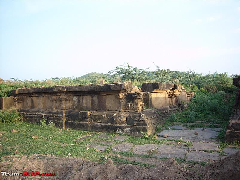
This small fort is located around 25 Kms from Cuddapah. Built in 1303 AD, the fort stands on the banks of river Pennar and covers an area of 30 acres. The fort was extensively damaged during an attack by Hyder Ali and most of the buildings inside the fort have disintegrated over the centuries.
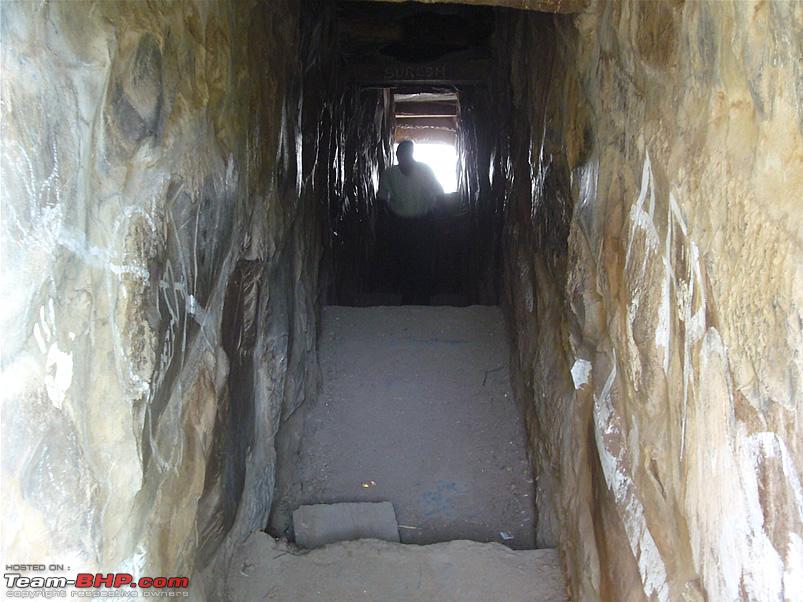
Currently the main places to see inside the fort are the fort bastions, ruins and foundations of the palace complex and other buildings, a tomb of a Muslim saint, a few Mantapas with carved pillars and a passage tunnel carved / built from the fort to the Pennar river which flows next to the fort.
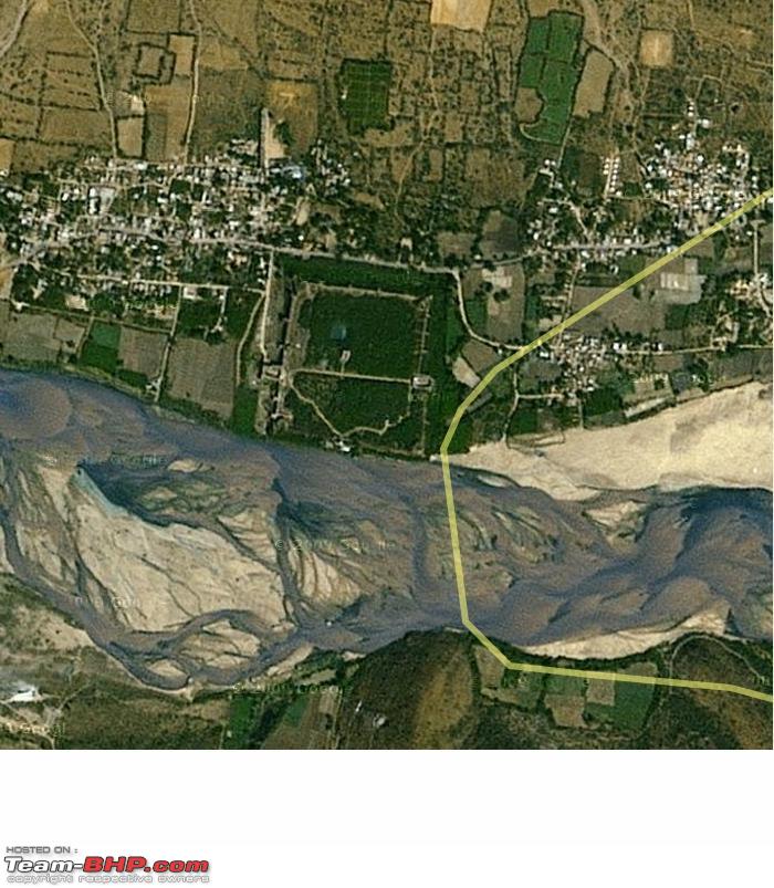
A Satellite pic of the Siddhavatam fort, clearly visible as the rectangular construction next to the river... 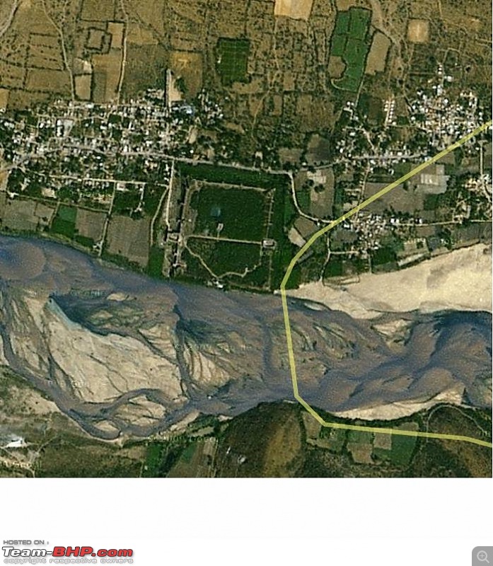
Courtesy: Google maps.
A water color painting of the Siddhavatam fort by Thomas Fraser, this too is from the year 1802... 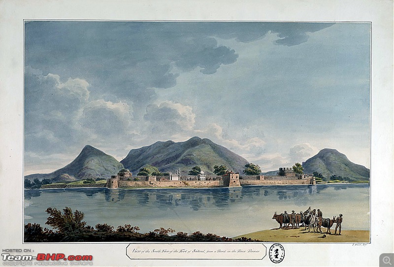
Courtesy: British Library
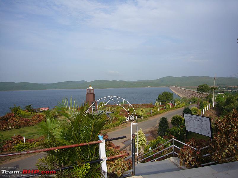
Brahmamgarimatam
'Brahmamgarimatam' is the place where Sri Potuluri Veerabrahmam - also known as the 'Nostradamus of India' stayed in Kandimallayapalli area. He entered Jeeva Samadhi in the year 1693.
The Brahmamgari-matam temple was built after Sri Veerabrahmam entered into his Samadhi. There is nothing architecturally significant about the matam as such, but it is certainly a unique place where one can get glimpses about the life, times and the predictions by Sri Veerabrahmam.
The main places to see here are the Matam, the Veerabrahmam dam and a couple of temples.
To be continued with a few trip pics...


 28th February 2009, 02:19


 (1)
Thanks
(1)
Thanks