We planned a short tour to Waynad, the north-east part of Gods Own Country. The Folk etymology of the word Waynad says it is a combination of Vayal (paddy) and Naad (land), making it 'The Land of Paddy Fields'. Wayanad district stands on the southern top of the Deccan plateau and its chief glory is the majestic Western Ghats with lofty ridges interspersed with dense forest, tangled jungles and deep valleys, the terrain is rugged. Quite a large area of the district is covered by forest but the continued and indiscriminate exploitation of the natural resources point towards an imminent environmental crisis.
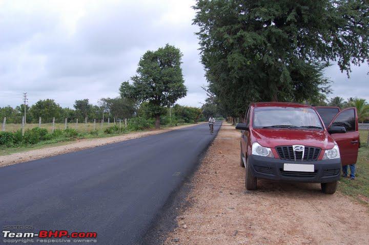
Our journey started from Bangalore on 19th September at around 5.00 am, took the route to Mysore by SH17 and reached Mysore by 7.00am. From Mysore, there are several routes to reach Waynad, but we chose the route Mysore Gundulpet Muthanga Sultan Bathery.
From Mysore, we had to take NH212 to reach Gundulpet. First we reach Nanjangud, a small town which is about 23km from Mysore. By another 35km, we reach the town, Gundulpet. This is the last town in Karnataka in route to Ooty or Kozhikode.

From here, we enter the Bandhipur National park, which is one of India's best known protected areas and is an important Project Tiger reserve. It is located in the Chamarajanagar district of southern Karnataka in South India, and is contiguous with the Mudumalai National Park in the neighbouring state of Tamil Nadu, the Wynad Wildlife Sanctuary in Kerala, and the Nagarhole National Park to the northwest. It is home to around seventy tigers and over three thousand Asian elephants (as per the 1997 census), along with leopards, dholes, gaur and sloth bears. Bandipur is part of the Nilgiri Biosphere Reserve.
The rules inside the National park are No Parking, No picnic, No horn. So our rest of journey is through the forest until we reach Kerala. Somewhere at the end of the forest, we can see the entrance to the Muthanga Wild life Sanctuary or the Waynad Sanctuary, which is famous for its project elephant site, where herds of elephants can be seen enjoying themselves in mud and water near the water holes. The sanctuary is a great place to just relax and listen to the uninterrupted sounds of nature.

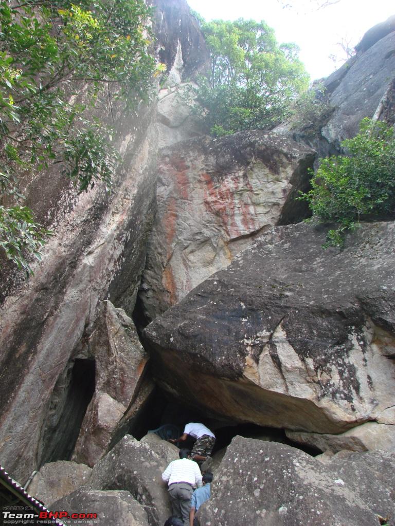
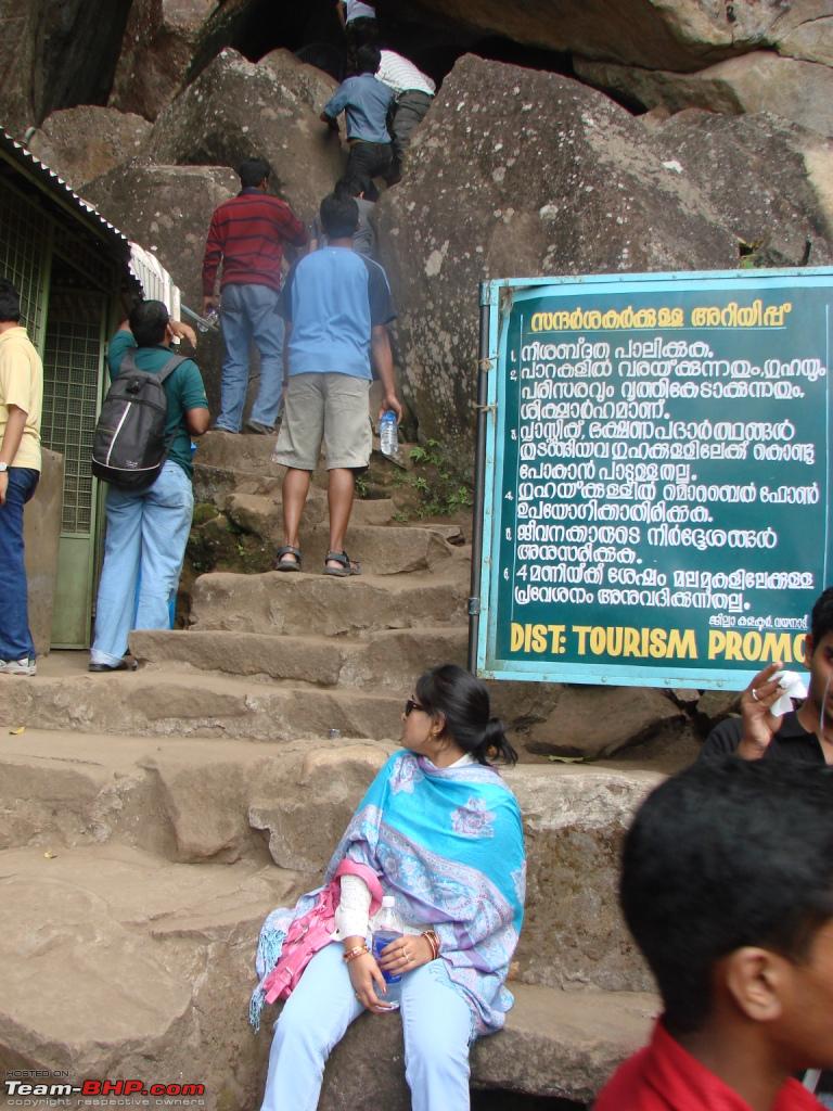
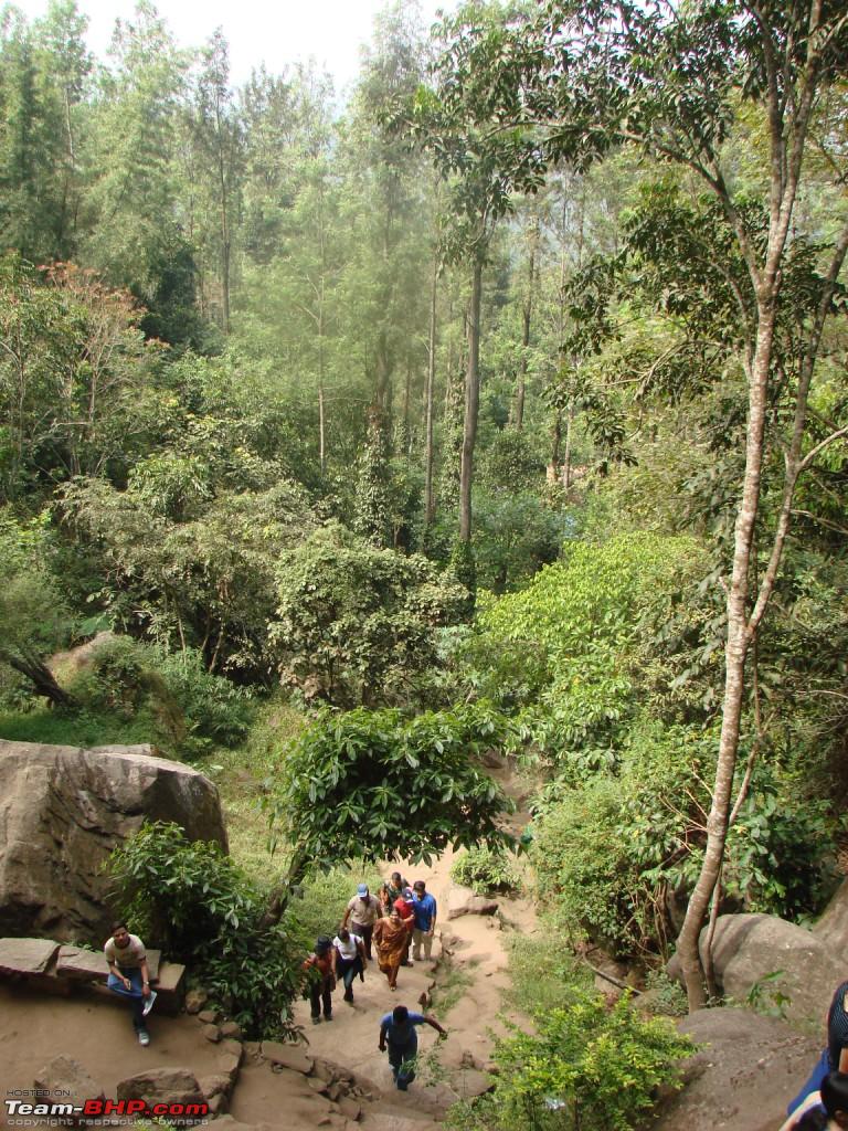
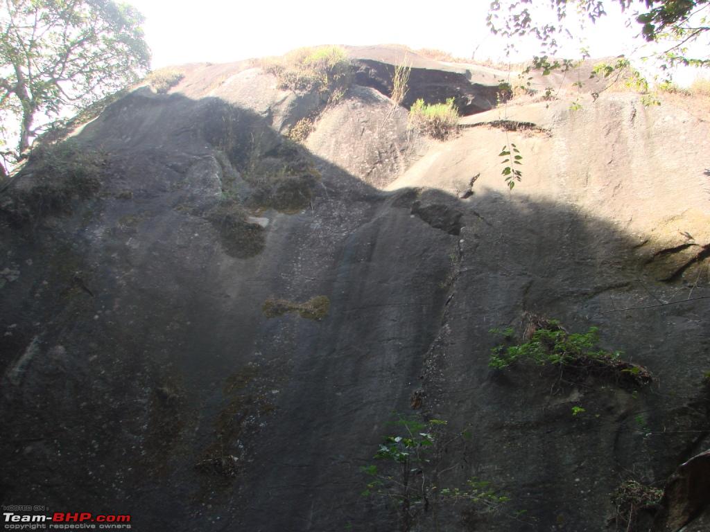
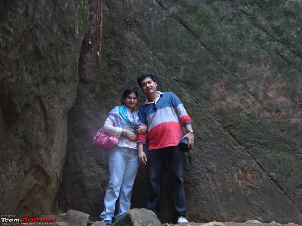
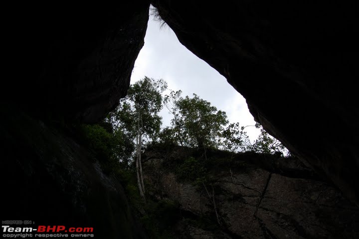
We had to spend some time in the large queue of lorries at Muthanga. Finally, we got out o the queue and through Noolpuzha, Kottakunnu, we reached Sultan Bathery town. It was around 12.00pm, and so we planned to visit the most nearby place Edakkal Caves. We parked the car and had to wait half an hour to hire the jeep to reach the foot of the hill. From foot of the hill, we had to climb up till the caves. Edakkal Caves are two natural caves located 1000 metres high (4000 feet above sea level) on Ambukutty Mala.
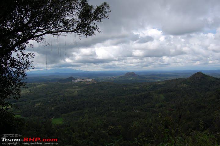
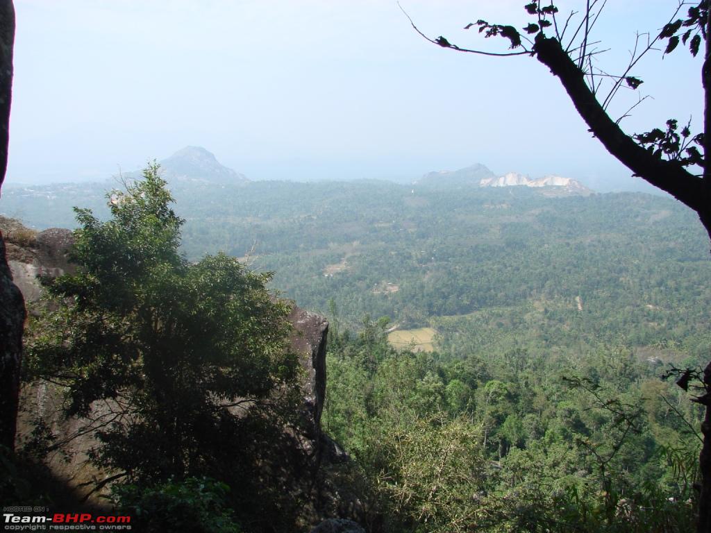
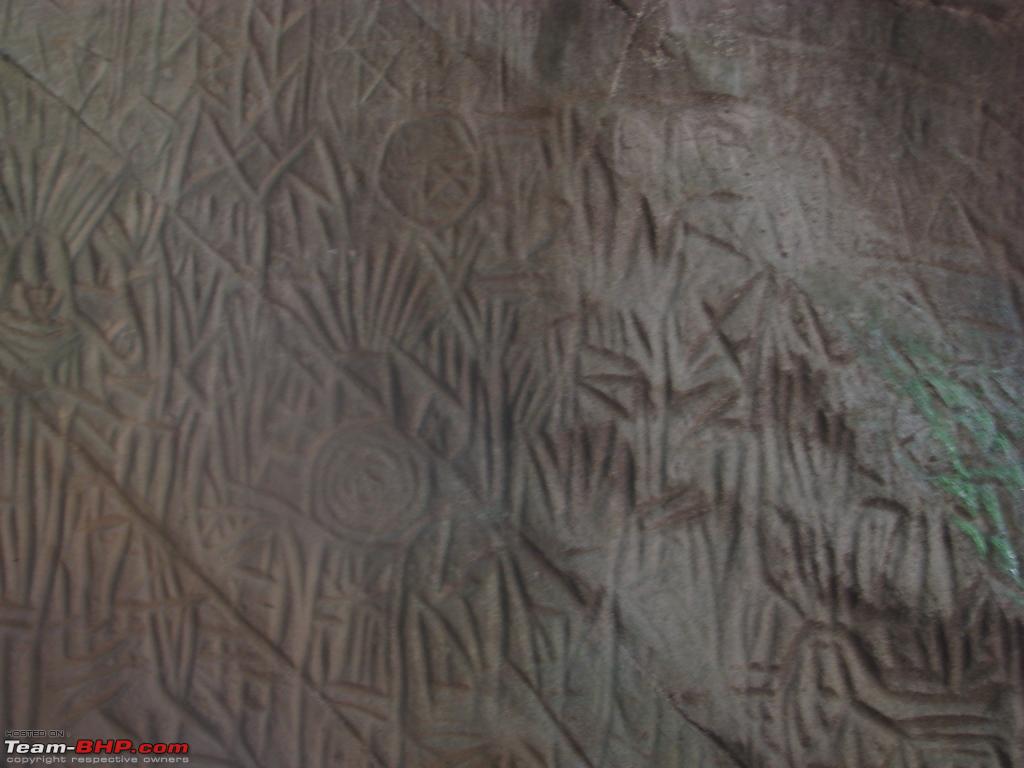
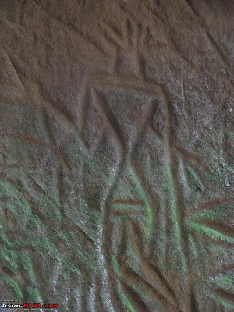
The cave here is formed when a big stone fell onto the cliffs of two big stones. Inside the caves are pictorial writings believed to be from Neolithic man, evidence of the presence of a prehistoric civilisation existing in this region. Such stone age carvings are very rare and these are the only known examples in southern India. After exploring the caves and the beauty of waynad from top of hill, we climbed down by around 1.30pm. By then we were hungry and had our food.
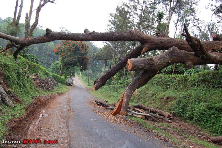
On the route we had to visit our relative at Thrishillery via Meenangadi, Panamaram and Mananthavady through the paddy fields and coffee plantations. We had our tea and started to Kozhikode by about 5.30 in the evening. We took the Thamarasherry churam to reach down to Kozhikode. Passing through the hairpin bends, and the views offered are a prized experience for any traveller on the road.
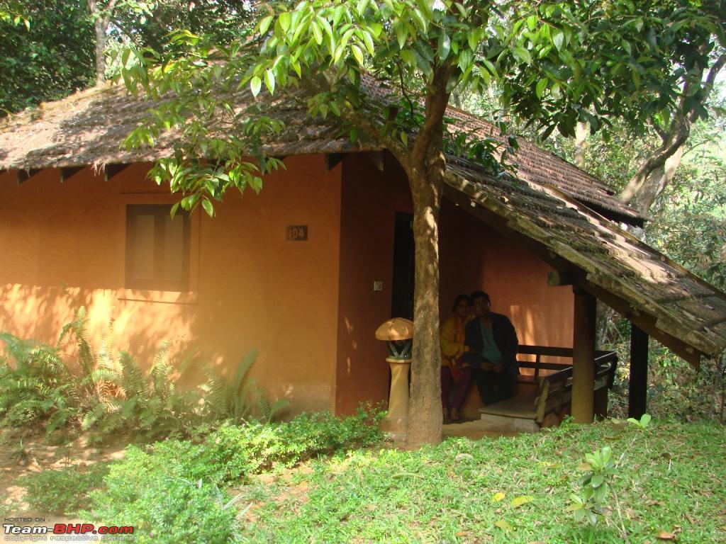
By about 9 at night, we had reached our aunts house at Chevayur, where we had our dinner and had good sleep. So this trip was worth as we could meet and spend time with out relatives too. Next morning we had to again climb the Thamarasherry churam, and start our sightseeing for the day. Pookot lake was the nearest one in this route, so we reached there by 11:30am. It is a natural fresh water lake, brimmed with evergreen mountains. One can also enjoy the boat riding. A childrens park and a shopping centre for handicrafts and spices are some of the few attractions of the region, providing recreational facilities to the visitors.

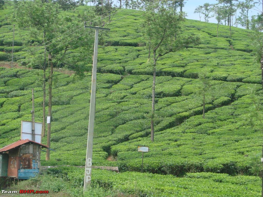
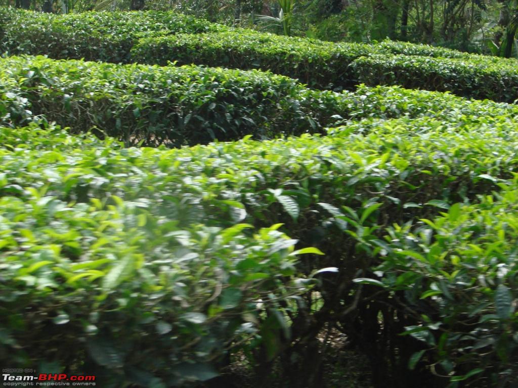
Then the next spot for the day was Banasurasagar Dam, and the journey to the spot was passing via small villages like Pozhuthana, Aachoor; and through the tea estates and finally we reached by 1:30pm. This is the largest earth dam in India. The topography here is such that many islands will be formed in the upstream of the dam when the dam is full. These islands with the background of the Banasura hill will provide a hypnotising sight to tourists. The cool wind refreshes everyone.

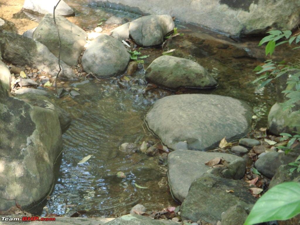
And the final day arrives and our journey for the day started by going to Thirunelly temple, which is an ancient temple dedicated to Lord Vishnu on the side of Brahmagiri hill. The spring and river near the temple is called Papanasini meaning washes away all sins.

Finally, it was time to start back to Bangalore. But this time, we took another route. Again crossing through Waynad Wildlife Sanctuary, my mind was recollecting the wonderful places I had seen during these three days. We reached Tholpetty by around 1pm and then Kutta, a small town in Coorg district having coffee, spices, paddy estates, and we were going to enter Karnataka State.

Also, Kutta is the entry point to the Nagarhole National Park. Nagarhole National Park, also officially Rajiv Gandhi National Park , is special among other wildlife sanctuaries in the Nilgiri Biosphere , and it has significantly higher population of wildlife especially of tiger and huge elephant herds. We could also spot deer herds.


Thus, we entered the SH17 and reached Mysore, where we had our lunch by around 4 in the evening. And then reached Bangalore with lots of memories.


 2nd November 2009, 12:19