Day 2 (29th November, 2009): Madikeri Bhagamandala Panathur Kanhangad Kannur Trip Meter 332kms to 585kms
After a tiring day 1 because of lack of sleep, woke up late by 9:00AM. Night at Madikeri was cold with the temperature around 13 degree C. We quickly get ready and order breakfast in the room. Pack the bags and check out by 10:30AM. The main road at Madikeri towards private bus stand is closed as concrete roads are being made. So in order to get to the main junction at Madikeri you will have to take the road towards Raja Seat or the interior roads. Take the road towards Raja seat and head towards Abbey Falls which is about 9kms from Madikeri.
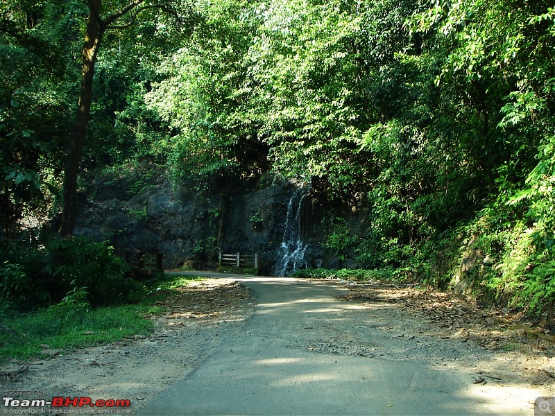
We are at Abbey Falls in 30mins. Park the car and walk down the path leading to the waterfalls. Place is a little crowded being a weekend and the entire pathway is littered with plastic waste which is disgusting. But as soon as you see the waterfalls all is forgotten by it beauty. We spend about 20mins at the waterfalls and walk back to the parking lot. By noon we leave Madikeri town towards Talacauvery.
Road towards Abbey Falls which is about 8kms from Madikeri
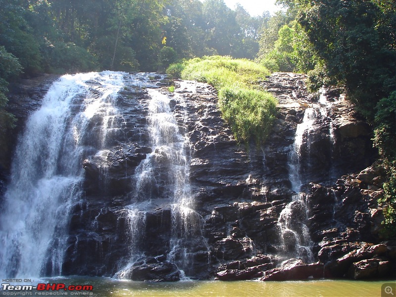
Beautiful Abbey Falls
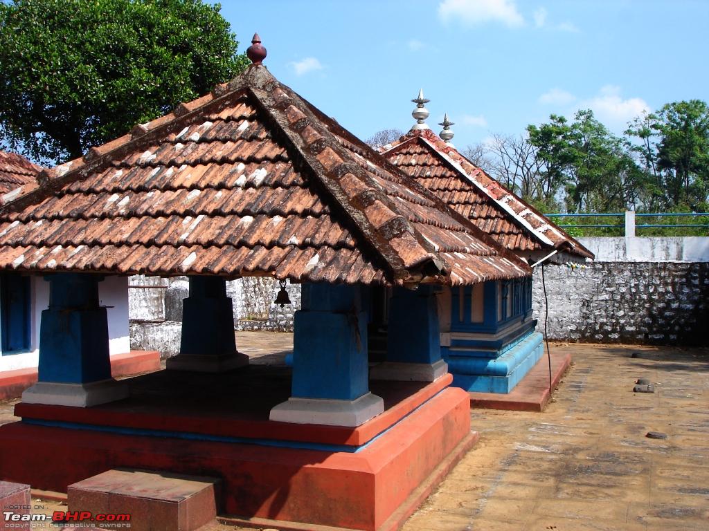
As we leave Madikeri town the roads get bad. The turns are dusty and the next 8-10kms we drive slowly behind a train of buses headed towards Talacauvery kicking up dust. Then once the roads get better I quickly overtake the train of buses and make my way towards Talacauvery. The road condition is good all the way till Talacauvery with occasional potholes. On the way, stop at a small temple just before Bhagamandala for about 15mins. We usually stop at this small temple whenever we travel this route.
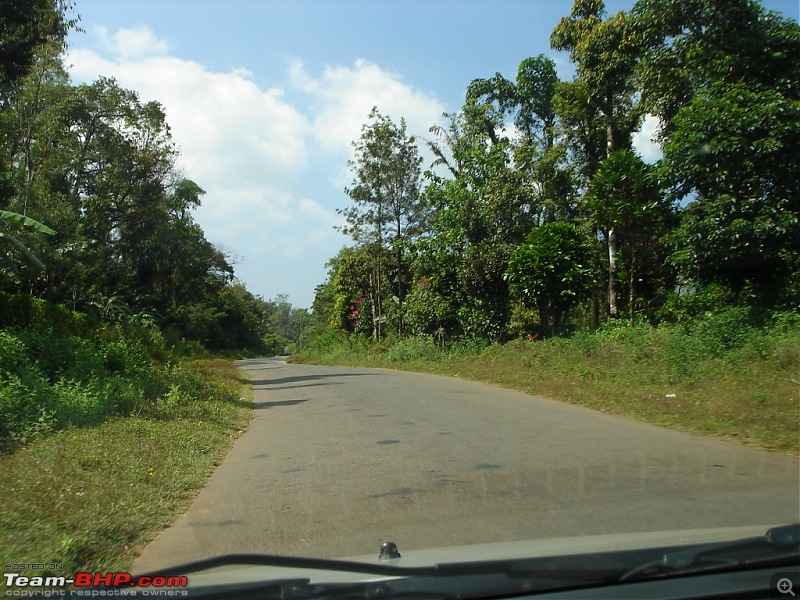
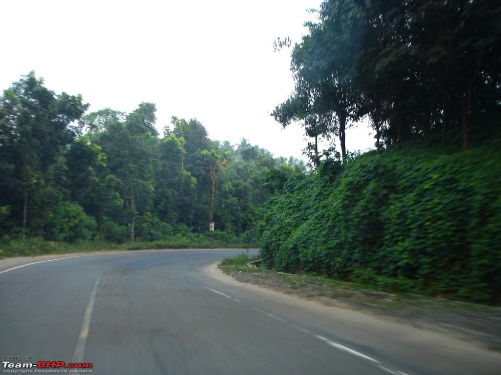
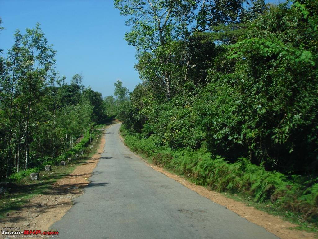
Road towards Bhagamandala/Talacauvery.
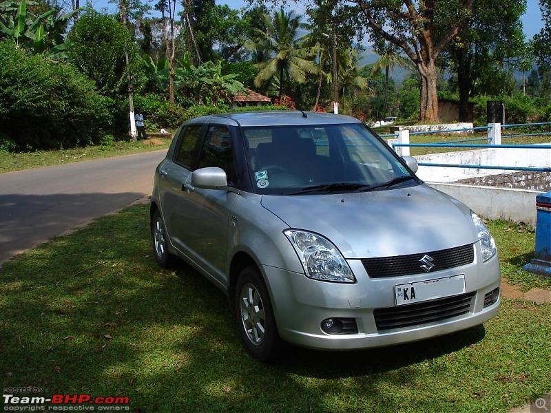
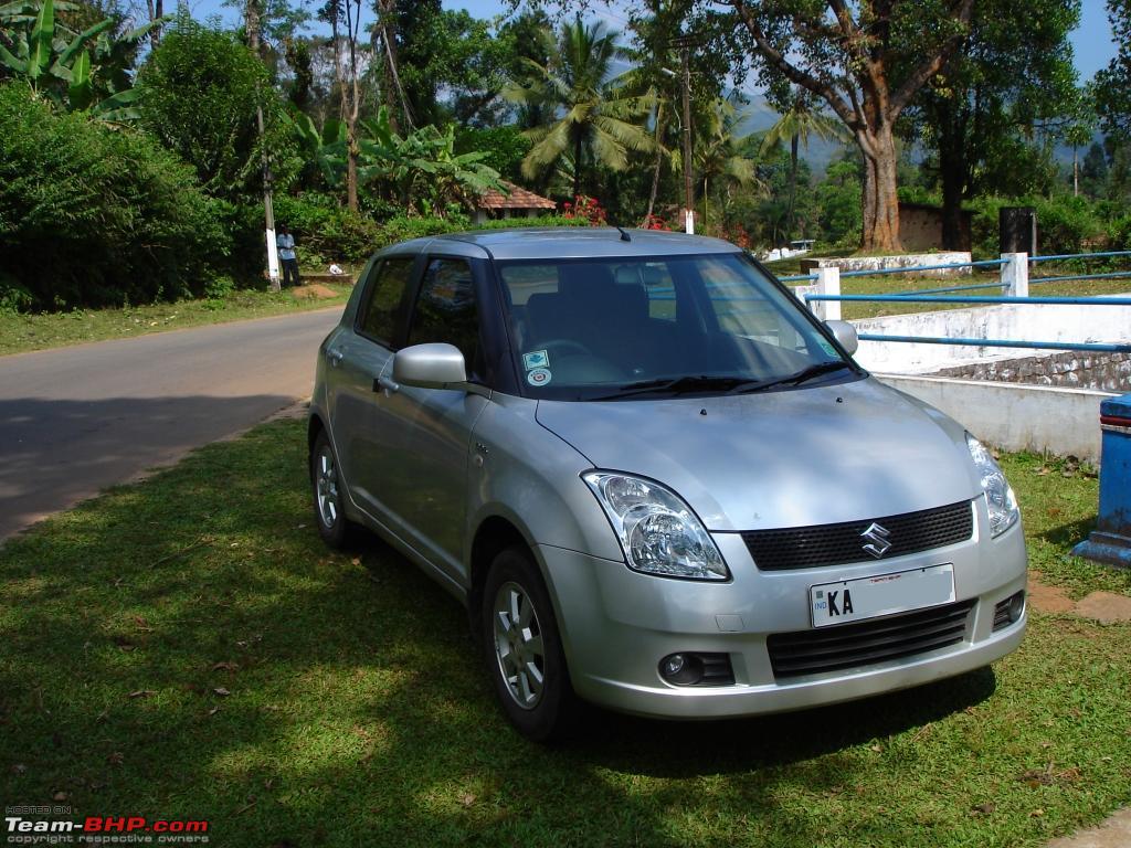
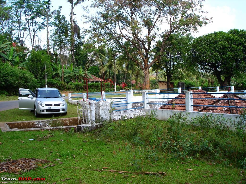
Swift D at the small temple we stopped.
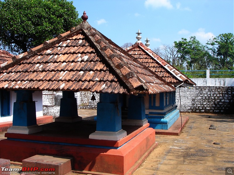
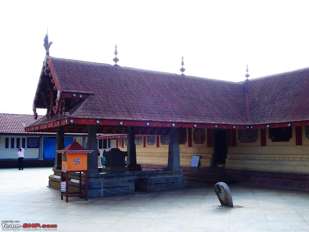
The small temple before Bhagamandala.

Another view of the temple and Swift D parked.
Cross Bhagamandala and travel uphill for another 11kms to Talacauvery. Everytime I have visited Talacauvery I had encountered fog, but not this time. Place is little crowded with lots of tourists. Quickly finish darshan and relax on the temple steps for sometime and taking snaps. I know we are terribly running behind schedule and I still have to travel into territory which I had never ventured before. Leave Talacauvery after about spending 30mins and drive down to Bhagamandala. Visit the triveni sangama (Kaveri is joined by two tributaries, the Kanika and the mythical Sujyoti River). Also visit Sri Bhagandeshwara temple nearby but find the temple closed. Time is 2:00PM and temple opens in another hour. We decide to carry on with the drive towards Kerala now.
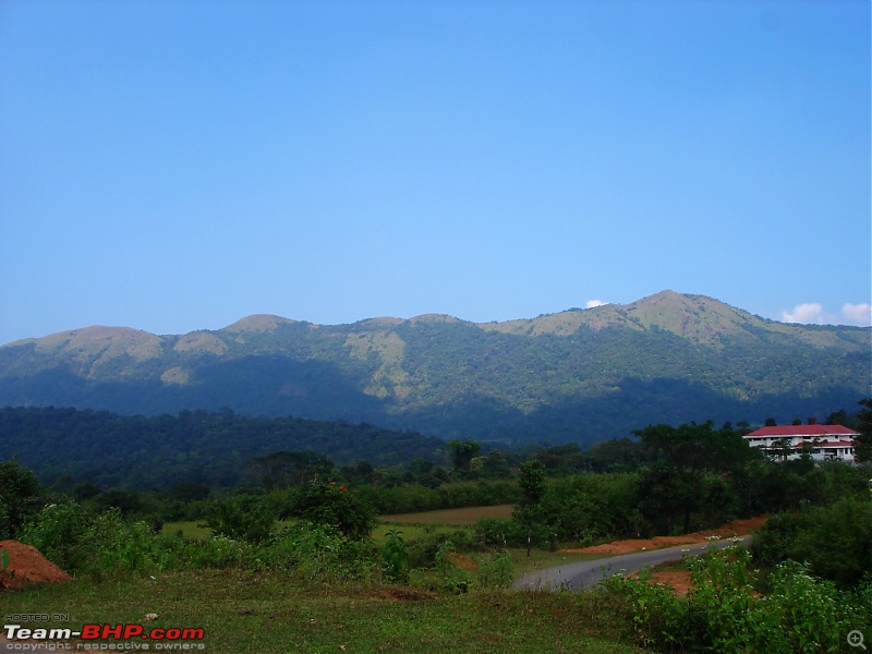
View of hills around when climbing up towards Talacauvery.
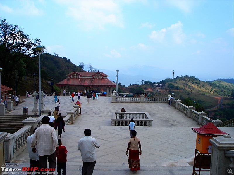
Talacauvery - Birthplace of River Cauvery (No fog this time :()
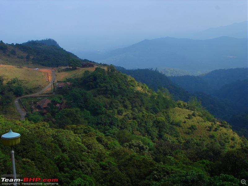
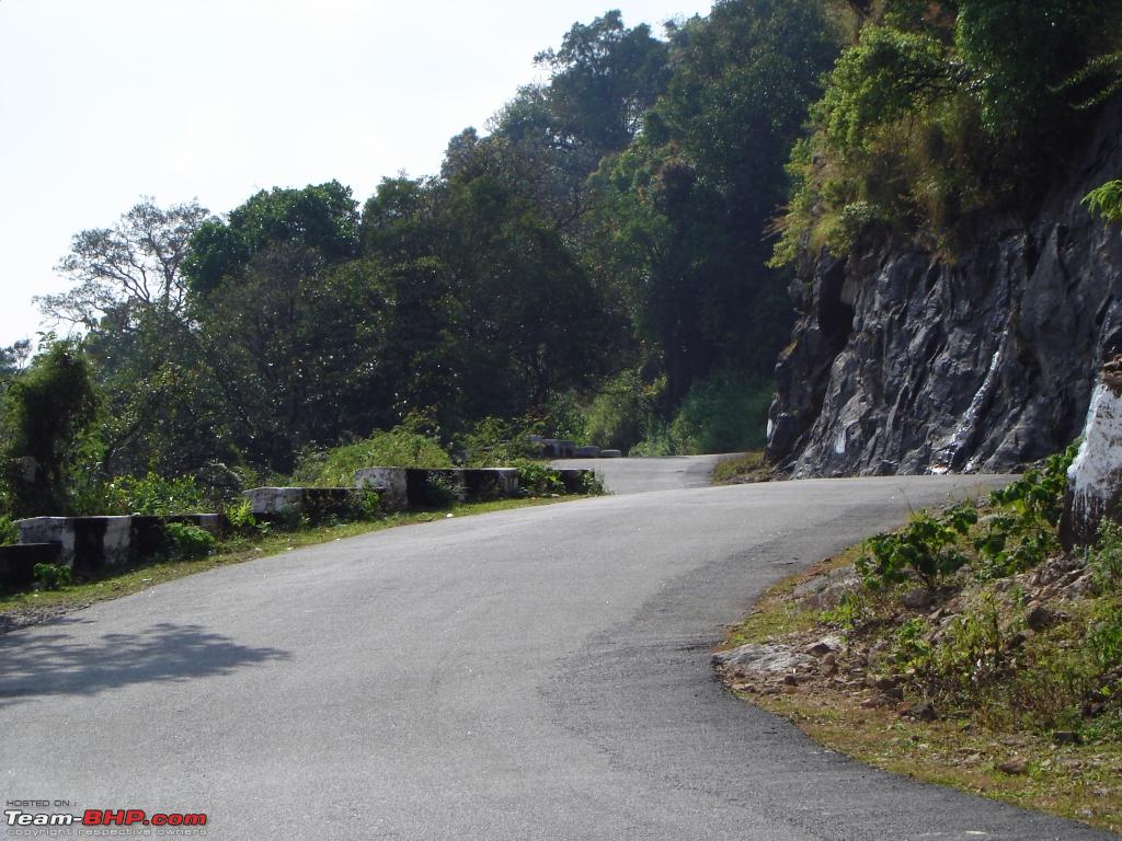
View from the temple of the road leading to Talacauvery.

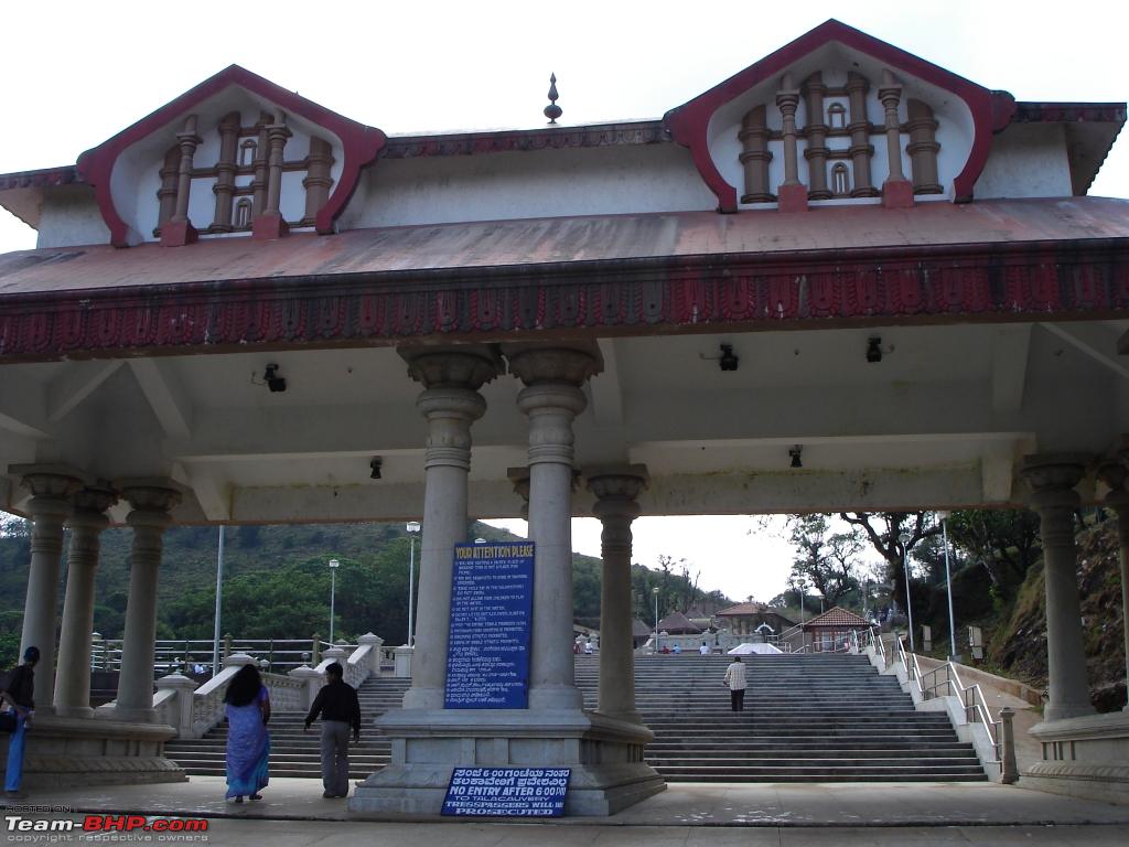
The entrance arch to the temple at Talacauvery.
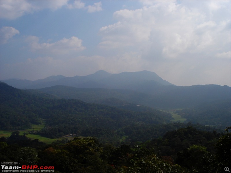
View of the hills around at Talacauvery.
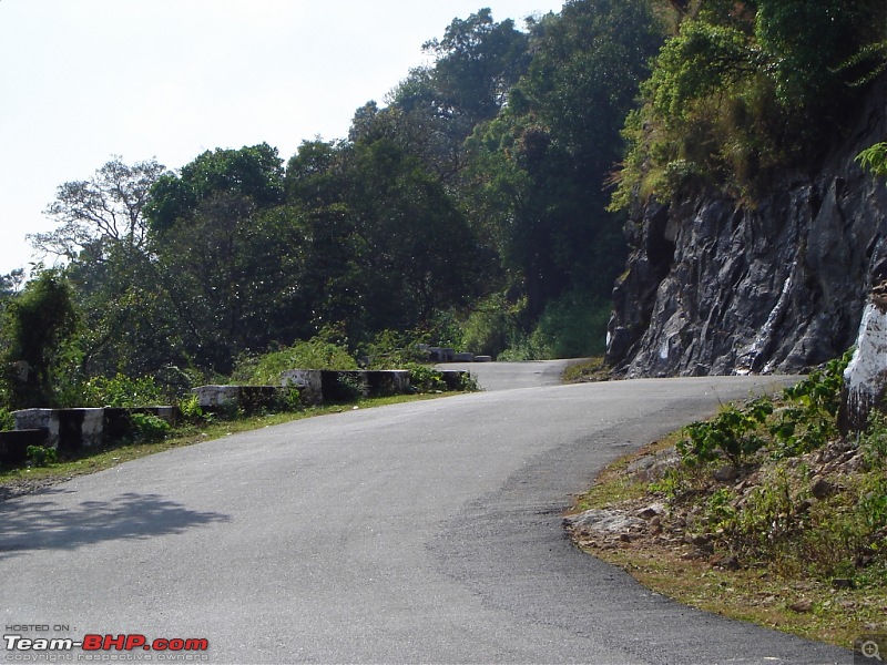
Smooth roads on the Bhagamandala - Talacauvery stretch.
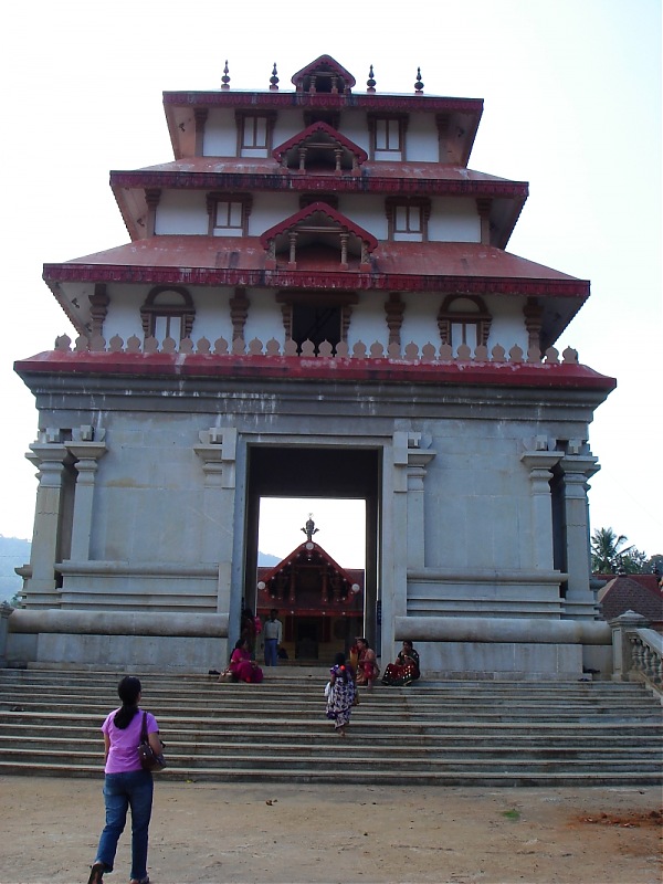
Entrance to Sri Bhagandeshwara temple.
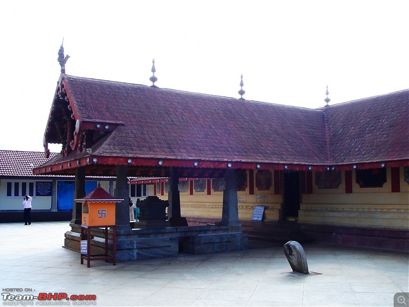
Inside Sri Bhagandeshwara temple.
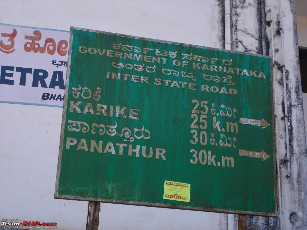
The deviation towards Panathur is near the arch at the entrance of Bhagamandala. I was pretty excited about the drive on this stretch as not many are aware of this route and search on google map showed no roads existed. We quickly take the road towards Panathur, single lane road through dense forest. Once you leave Bhagamandala town, you will encounter civilisation only after about 25kms. The first 15kms the road was allright with occasional potholes but later on road gets bad. Nearing Panathur the road gets real bad for a couple of kilometers due to a dam construction going on. It took about 45mins for me to get to Panathur town in Kerala from Bhagamandala and I only encountered 3 oncoming vehicles. Such is the traffic density on this route.
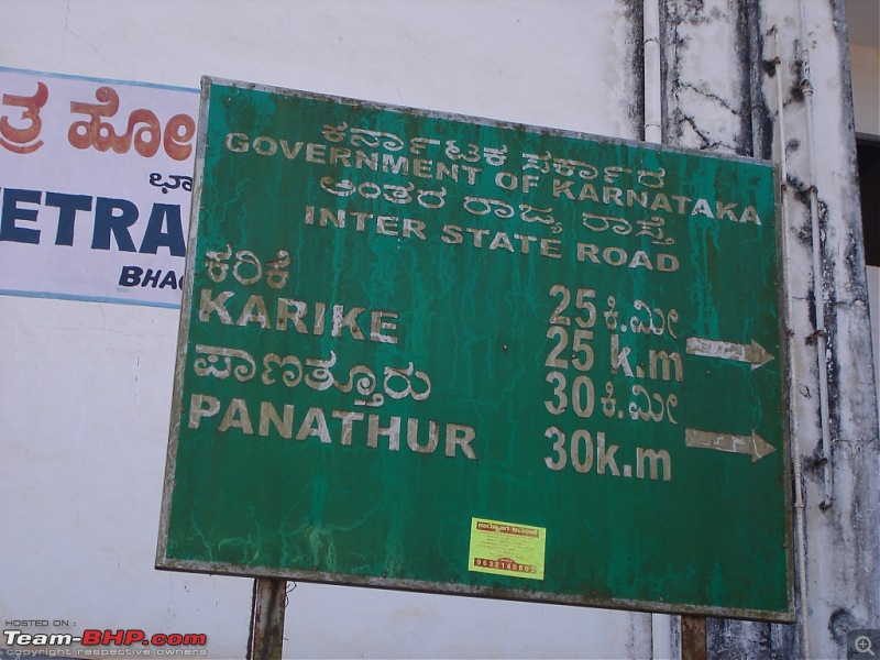
Signboard at Bhagamandala - Kerala border not very far..
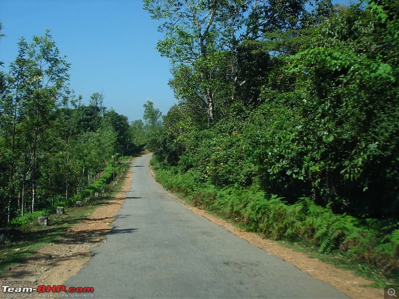
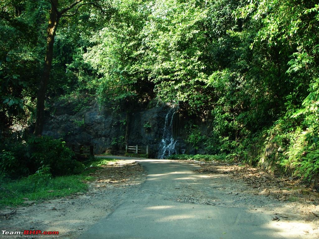
Narrow road through a dense forest on the Bhagamandala - Panathur Stretch.
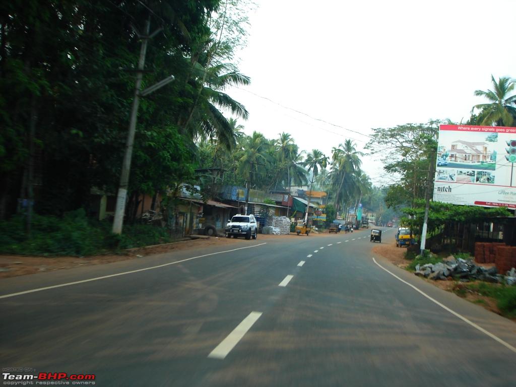
From Panathur onwards the road improves. I have another 50kms to Kanhangad and another 14kms to Bekal Fort from there and on top of that my grumbling tummy reminds me of the skipped lunch. I manage to keep my tummy happy with some biscuits in the car. You can expect decent hotels for food only in Kanhangad. Make my way through the typical curvy 2 lane Kerala SH. Road is in good condition and nearing Kanhangad the landscape changes as I get down the hills. Wide open spaces with coconut trees and I am eager to see the sea. Anyday I prefer the sea than hills and wifey is the opposite. She is unhappy coz we are leaving the hills behind us. Enter Kanhangad town around 4:00PM and still no sight of the sea. Join the NH17 passing through Kanhangad town and travel north towards Bekal Fort. Before that find a decent restaurant and have a light meal. The traffic is dense on NH17 and road is not good with uneven surface. Travelling north on NH17 I spot the sea on my left and such is the effect that I completely feel rejuvenated.
We travel for another 10-12kms north and there is a traffic jam near a abandoned half-finished flyover on NH17. We slowly crawl out of this traffic jam and take the left turn towards Bekal Fort. By 5:00PM we are parking the car at the Bekal Fort parking lot. We come to know that the ticket counter closes by 5:30PM and we quickly make our way inside the fort, buy entry tickets and we are in.
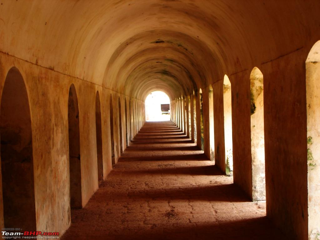
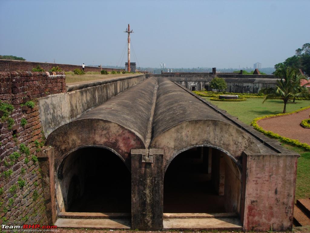
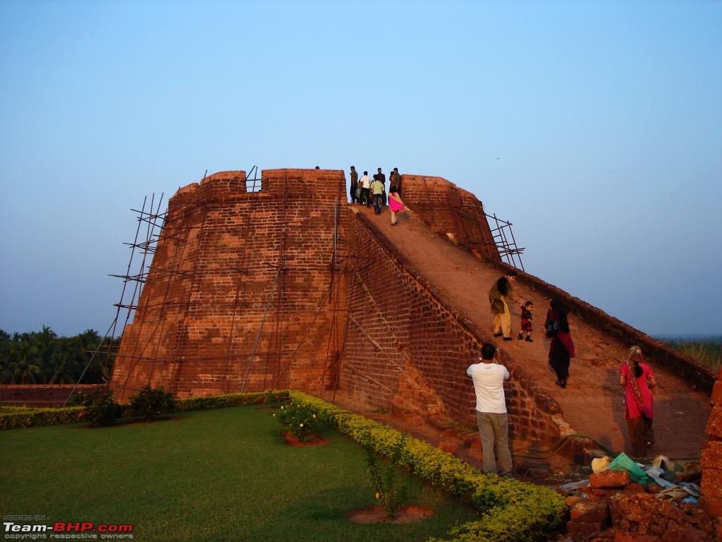
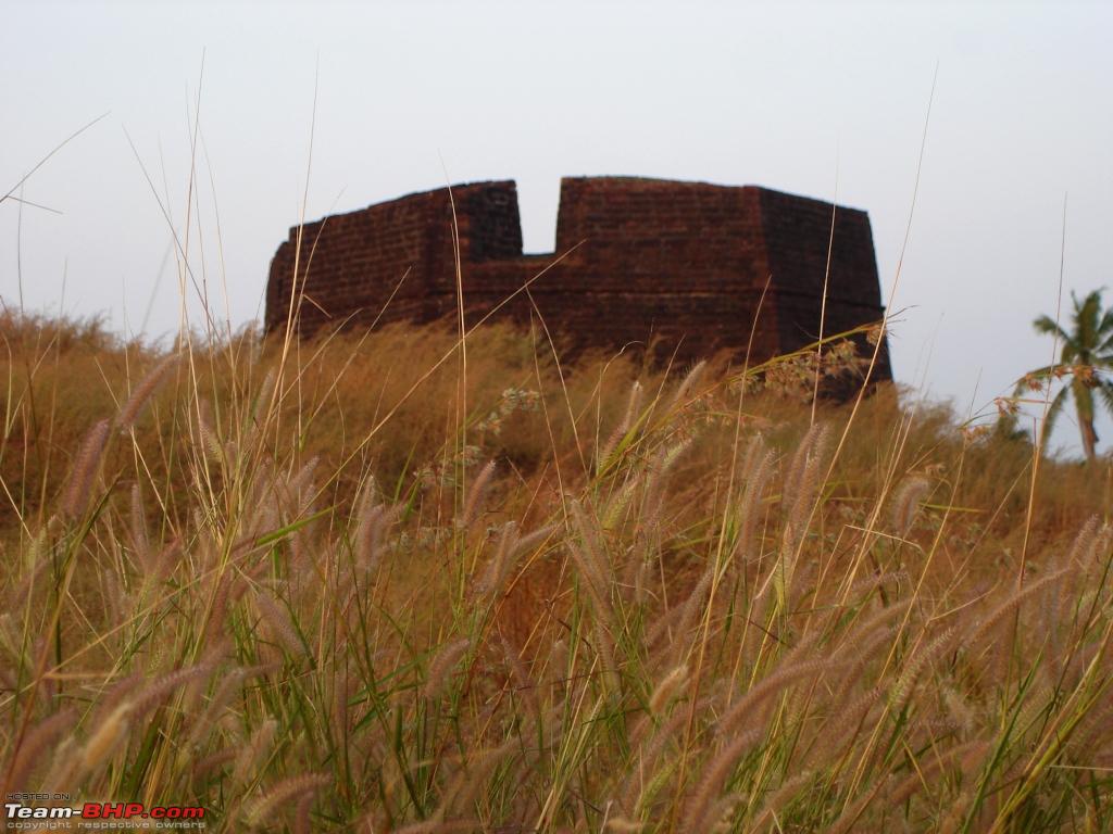
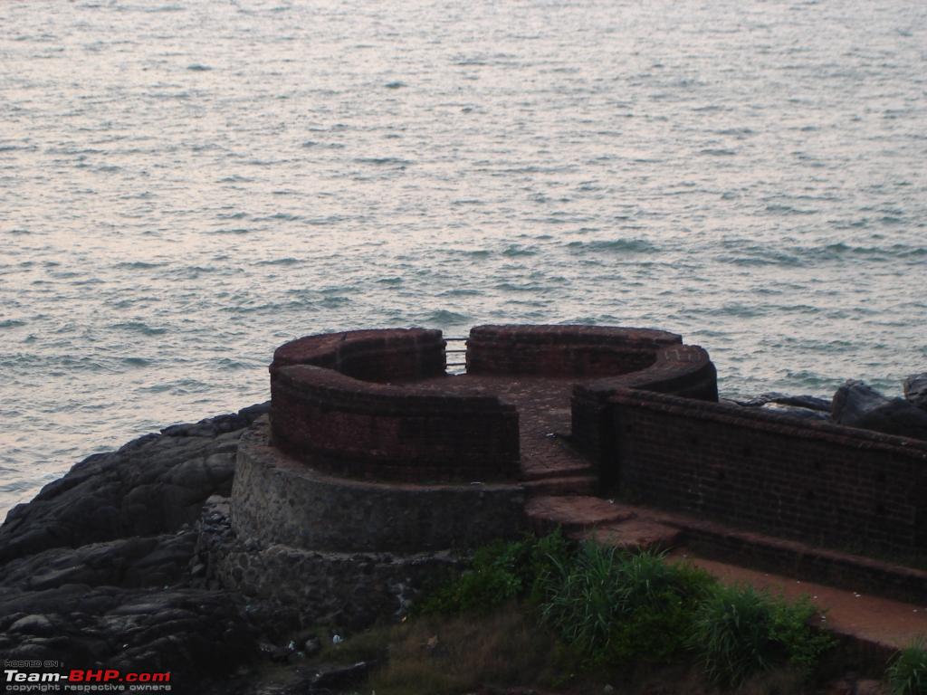
Bekal Fort is the largest and one of the oldest forts in Kerala and it is around 300 years old. The fort has watchtowers and observatories which has a huge significance in their architecture, good enough to notice the tiniest activity on the shores of the Arabian Sea and also to house huge defense canons which used to be there of course. I always wanted to visit Bekal Fort and fort looks magical in monsoons as seen in the song 'Uyire Uyire' from the film Bombay. I will be back at Bekal fort during monsoons but the thought of the punishing NH17 during monsoon might stop me.
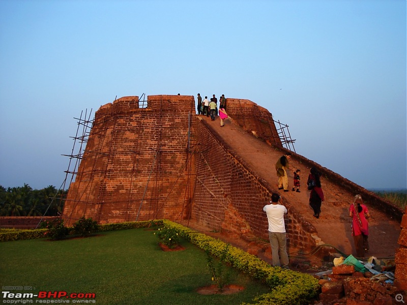
The main watch tower at Bekal Fort.

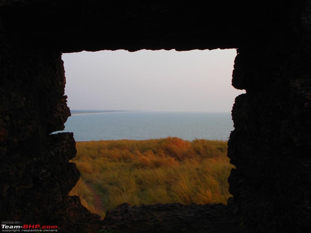
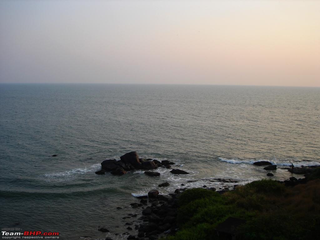
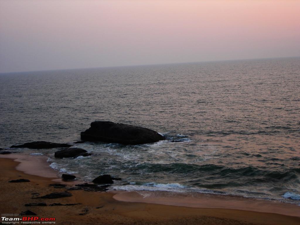
View of the Arabian Sea from one of the watch towers.
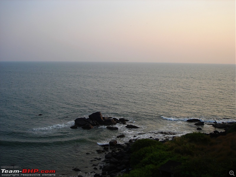
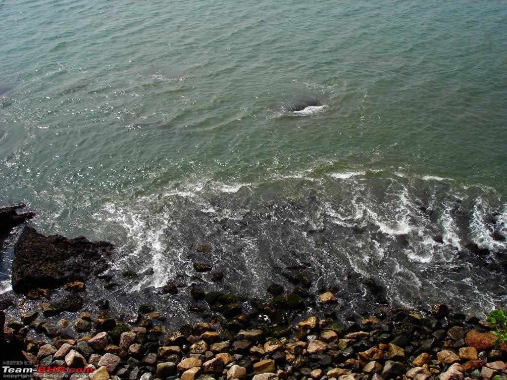
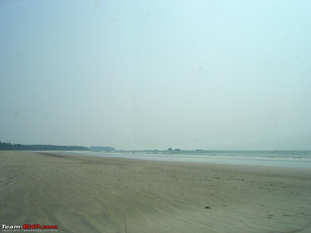
View of the Arabian Sea from Bekal Fort.
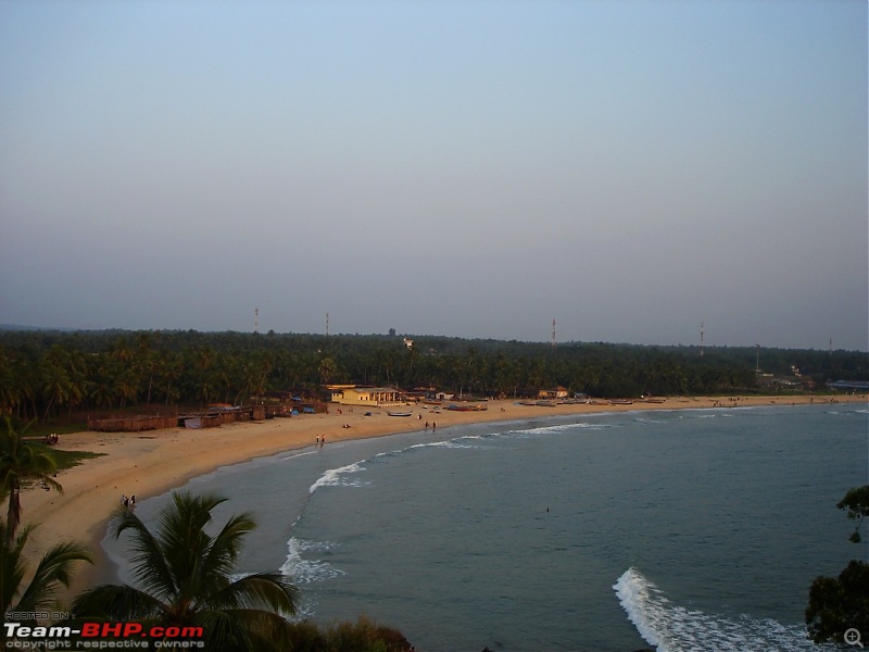
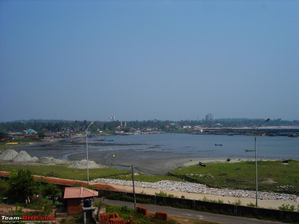
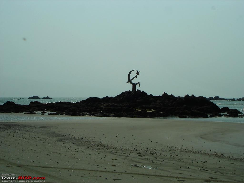
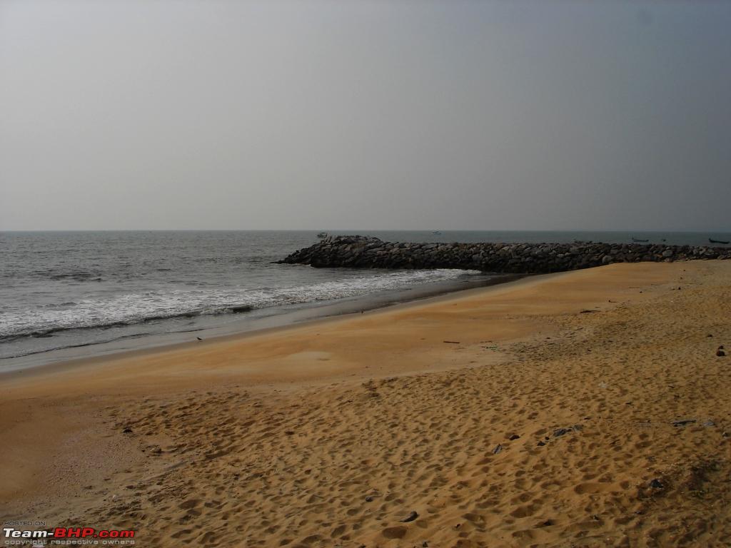
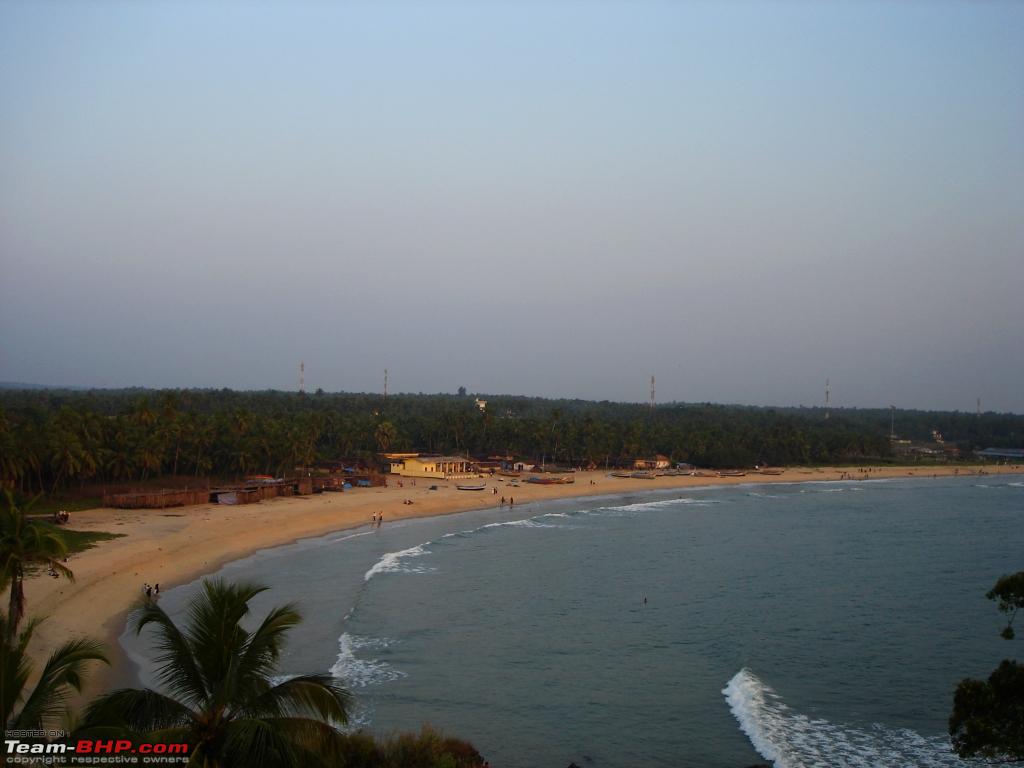
View of Bekal Fort Beach from the Fort.
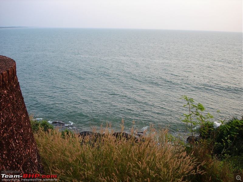
View of the Arabian Sea from Bekal Fort.
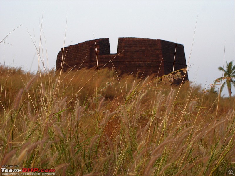
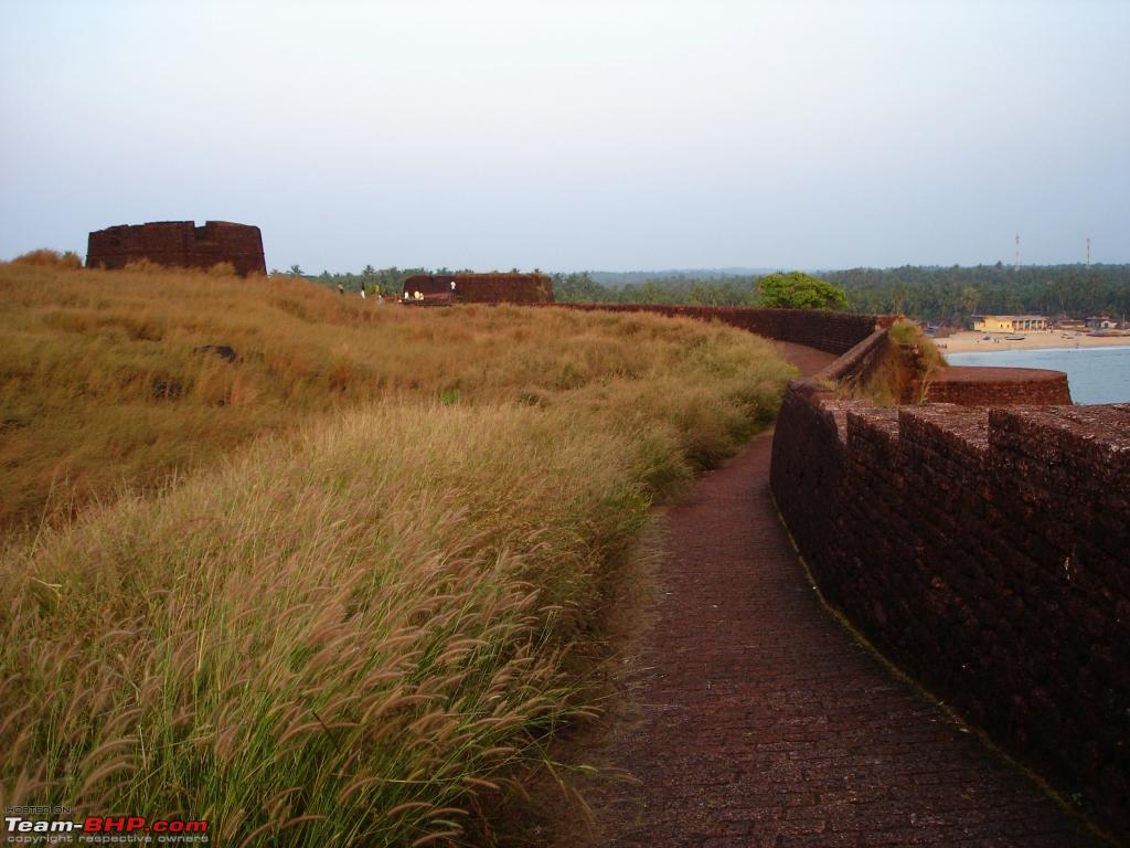
One of the watch towers inside the Fort.

Bekal Fort.
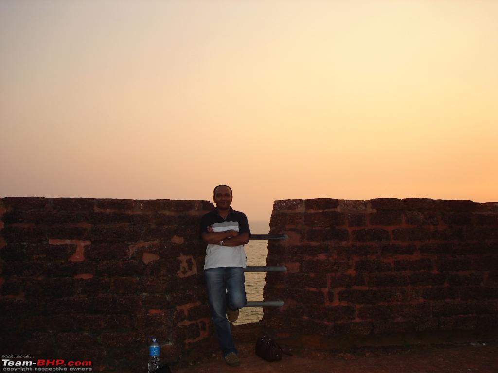
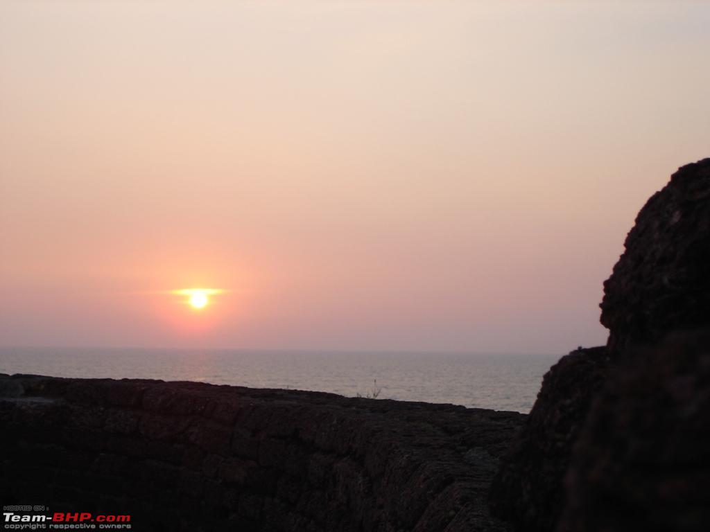
We spend about an hour walking around, taking pictures of the sea and nearby Bekal fort beach and the beautiful sunset. I just wished we had arrived atleast an hour early. But we enjoyed the hour spent at Bekal fort and we leave by 6:30PM. Its dark by the time we rejoin NH17 and travel south towards Kannur. Kannur is about 85kms south from Bekal Fort. NH17 gets better once you cross Kanhangad and I maitain a safe speed of 60-80kmph on this 2 lane NH17.
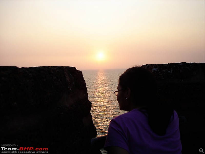
Watching the beautiful sunset.
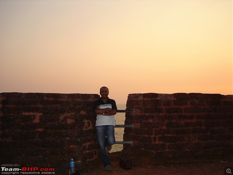
Your's truely at Bekal Fort.
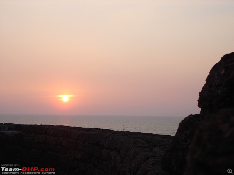
Sunset from Bekal Fort.
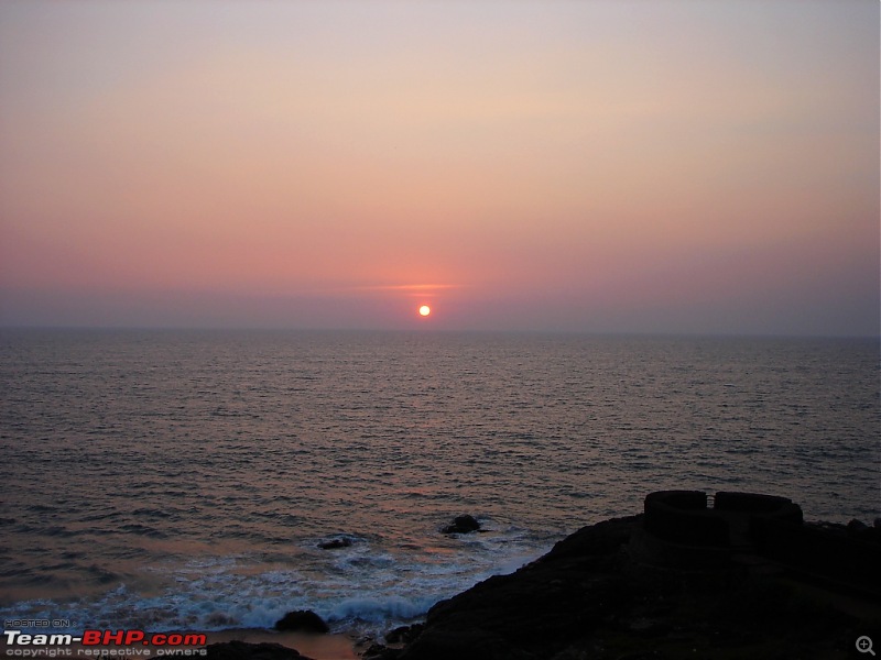
Beautiful Sunset
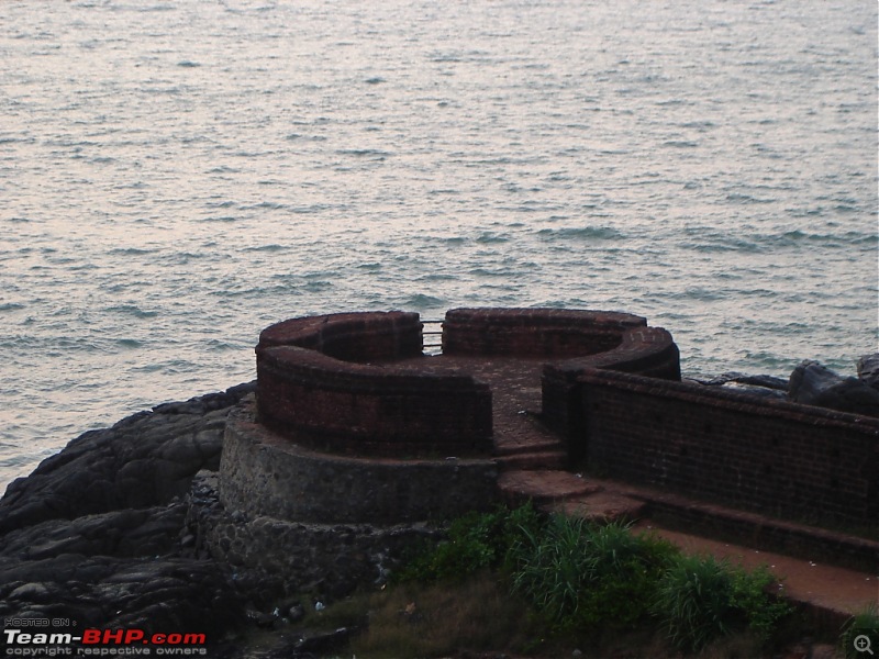
One of the watch towers closer to the Arabian Sea.
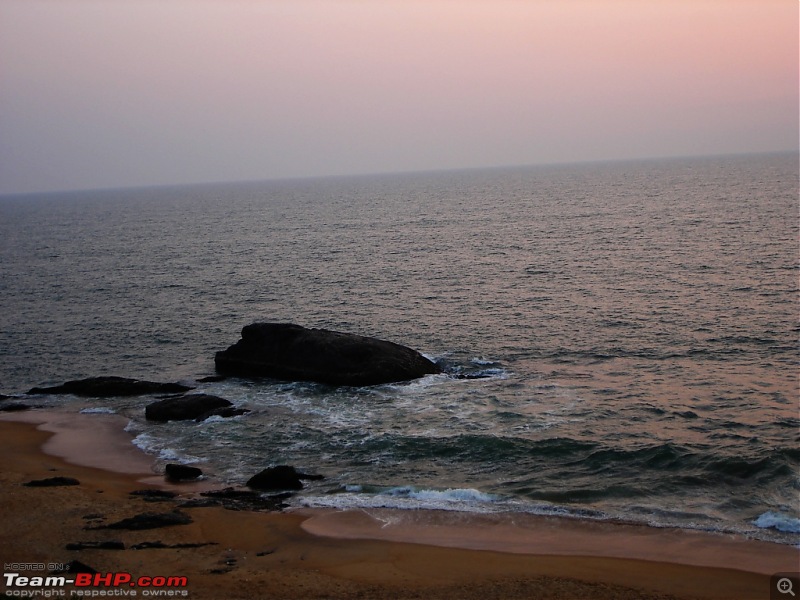
View of the sea after the sunset.
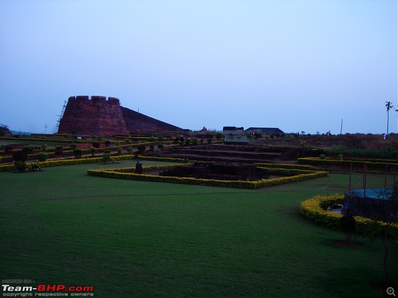
View of the neatly maintained garden inside the fort.
By 8:00PM we enter Kannur town and check into Hotel Green Park Residency near Kannur Railway Station. The hotel has very good, clean rooms and very good service. They have a nice restaurant too. After lots of driving and walking done at Bekal fort, relax for sometime in the room watching TV. While entering Kannur town, I had noticed a nice Chinese restaurant at a Junction. By 9:30PM we drive to this restaurant, but find its closing time for them. We just drive around the town and head back to the hotel by 10:00PM. Order food from the restaurant which was very good and doze off by midnight.
Continued....


 9th December 2009, 14:25


 Yes seems like its about 1 trip every 2-3 months. My boss keeps wondering how many friends and relatives marriages or imp. functions I attend frequently and all of them outstation...