One hour after we left the third group behind, we reached a small clearing on top of a hill. We hoped to see some landmarks in the direction in which we were going, but could not do because of the thick vegetation and the very high tree line. Moving on, the path again disappeared. We somehow moved in the direction of the heading and found another trail (or so we thought). The truth was, we were lost. We were lost and did not know where to go. Anywhere we looked, it all looked the same

.
Then we saw another clearing ahead and scooted over there. It somewhat resembled a path along the side of a mountain. We could hear water flowing some where, but could not see it at all. We went along the so called path cutting down fallen branches and bushes on the way. It was obvious that no man had come in this route/trail (at least in this season). So, we were quite apprehensive even though we were moving forward. There was another group who were ahead of us and we did not know which route they took or where they were. We tried whistling and shouting hoping they could hear us and respond. But, we did not hear anything apart from the water flowing somewhere below. At this point we were around 340 meters above sea level according to my GPS reading.
We moved on in the trail till we could no longer hear the sound of the water flowing. We continued and found a huge thorny bush blocking our path. There was no way we could get through to the other side without going through it. So, we started cutting the branches carefully so as to create some sort of a path through it. But, it was not as easy as it looked. Now, we were faced with a decision. It was already 4.30 pm and it would get dark soon. We had to find a camping spot as early as possible. I was thinking, now is the best time to use the GPS. For a moment, we all thought of turning back and reach the river to camp for the night by using the GPS tracks. The reason we wanted to go to the river is that water is very important. Our water bottles were almost empty and we also needed water to cook our food. And there was no suitable campsite at that point, because it was the edge of a mountain and there was no water nearby. After some discussions, we thought we will move ahead and camp at the first place we find water.
Again, we started cutting the thorny bush and somehow cleared enough space for a person to scrape through. We all scraped through to the other side and moved on. It had already started to get dark by the time we crossed the bush. Some 10 mins after the bush, we found a small flat clearing and again a small trail leading out of it went downhill. Again at this place, we could hear a stream flowing. We went down the trail and found a small stream flowing nearby. We immediately rushed to the stream, refreshed ourselves in the cool water and refilled our bottles. After having our fill of water, we started on only to find that the trail had disappeared again. And since the light was fading fast, we decided to look for a camping spot here itself. Then we remembered the small flat area just before the stream. (I don’t have pictures of this place, as we were too busy thinking/discussing to click pictures)
This is how our path looked like. You can see the stream below.

Just above this place, it looked like a big clearing
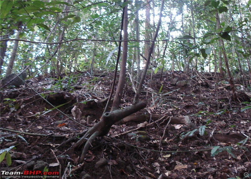
But, the forest can deceive you in many ways. I went over there to do a recce and found that it was denser than ever.

Finally, after deciding the place, we started to clear our campsite. One guy went to get firewood, another one went to collect rocks (for the stove) and the remaining two started setting up the tent. The time was around 6 pm by the time we had our camp set up.
At our camp, we were approx 400 meters above sea level. OG Peak was 971 msl. So, we still had to climb approx 571 msl to reach the peak.
Our camp site


The collected firewood

There was another major problem. The firewood was not dry. Since it had rained the previous night, all the wood was damp. It became a major headache for us to start the fire. We had a little bit of petrol (bought in the last minute for these types of situations) with us and tried to use it to start the fire. Now, we did not know that it was a mistake to bring petrol. Petrol, although highly inflammable is very ineffective when you need to sustain a flame. So when ever we poured petrol on the wood and set it on fire, it would just light up and extinguish. What could we do now? Somehow we managed to find a semi damp branch and lighted it up using the help of newspapers. It was a tough task to keep it going too as it was very windy at that place (despite the dense vegetation around the place). Out came the staple diet of trekkers: Instant Noodles. Instant Noodles have become a boon to the trekking community as it is fast and easy to prepare. I don’t know how much nutrition it provides, but it surely fills the stomach

.
Cooking the noodles

After Dinner, we initially planned to keep watch over the fire so that no animal would want to surprise us that night. But, the fire was barely enough to cook the noodles, let alone burn through the night. So, we chucked the plan and retired into the tent.
Back in the tent after dinner

It was a scary night. The wind was howling badly and we heard an animal move somewhere near our campsite. We got up and shone our torches all around, but could not see anything. Again, sometime in the middle of the night, the rain cover we had put on our tent was almost blown off by the wind. We were lucky that it did not rain though. And it was pretty cold out there. Somehow we survived the night.
Our camp early in the morning

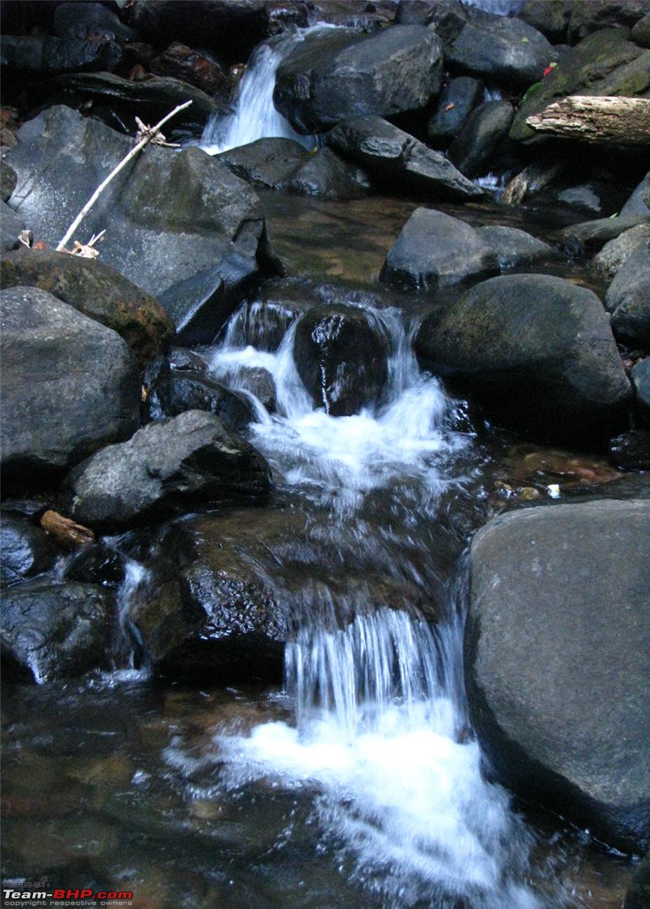
The Stream near our camp


Checking our location and heading before we leave camp

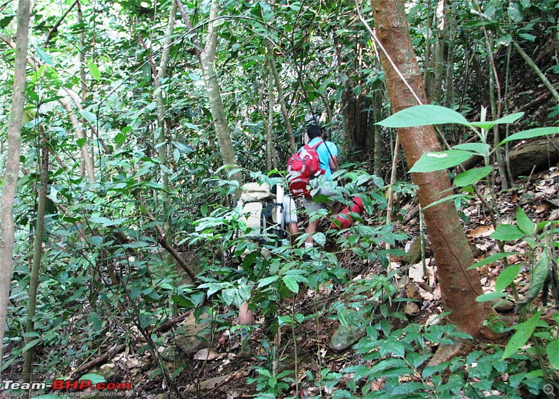
Starting off from the camp site
Continued....
Quote:
Originally Posted by C300  ..thats sad. I remember we did the trek over weekend and there was hardly anyone apart from local villagers. Cant imagine the damage these picnic crowds will cause to the local environment. |
It is very bad actually. The day I went there, there were more than 50 people camping on the peak and some 80 more camping in and around Bhattara Mane. I also wrote to the DCFs of Dakshina Kannada and Kodagu about the need to regulate trekking on the mountain, but never received any response from them.
Quote:
Originally Posted by 370Z Thanks for the info. I presume you took Adda HoLe and Devara HaLLa route as per SoI map? We tried to take this route when we went in April, but had to return because of billions of leeches (no "clean space" for camping) and indications of heavy rains.
Yes. I hope OG remains pristine. Elephants and venoums pit vipers are enough to scare away "picnic crowd"  |
Initially, we had not decided which route to take. Somehow, we followed what looked like a trail and ended up walking beside the Addahole for some time. Then we mistook a dry stream bed as out deviation point and deviated from the actual route shown on the map.
Even OG too will go the KP way. It has been a popular trail for quite sometime and it will continue to be so. I read a blog wherein a trekking club took 30 people for this trek. 30 people!!!! I don't know why these guys take so many people. How on earth will they manage 30 people? What will be the impact of 30 people together inside a forest? Nobody seems to care :(


 2nd September 2011, 11:04

 (1)
Thanks
(1)
Thanks


 to the take-it-as-it-comes part.