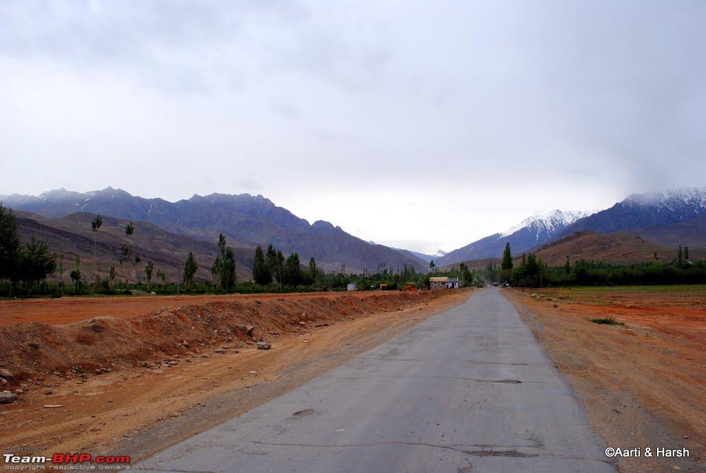
Having read earlier on another forum that only one-way traffic was being allowed on Zoji La, and that there are timings too to cross it on some days, we decided to leave Srinagar early in order to have enough time on our hands. The drive towards Sonamarg was breezy, with good quality, although narrow, roads.
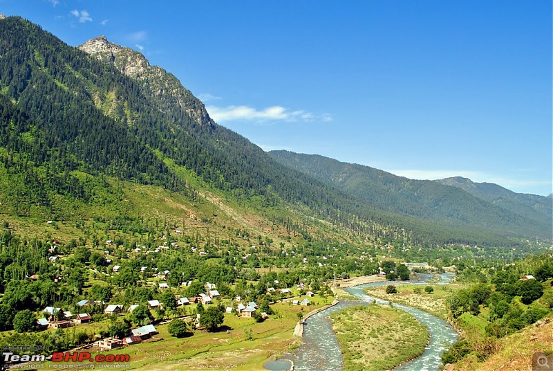
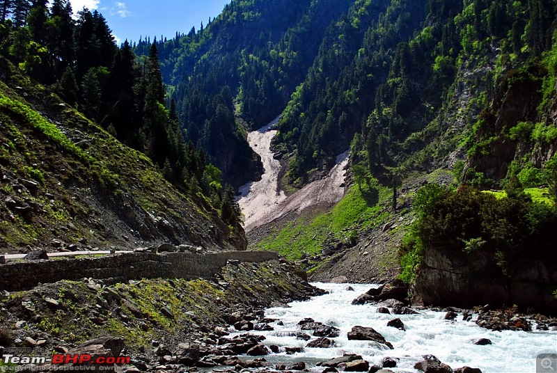
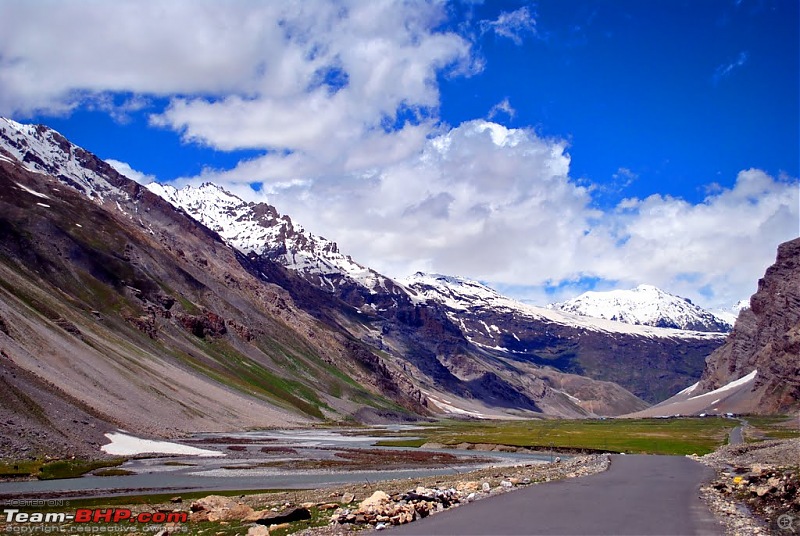
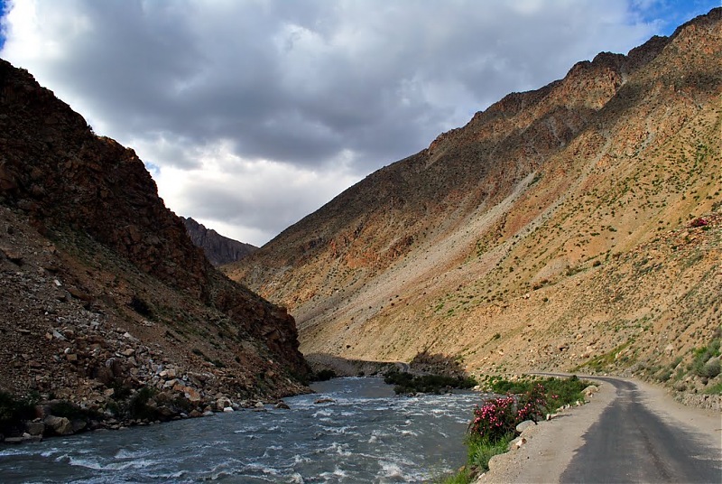
The drive towards Sonamarg is in a wide valley, with the Sindh river running beside the road
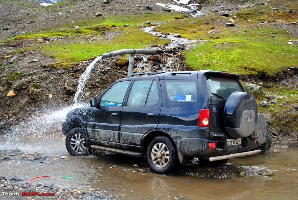
It had been two days since Kiyang had shifted it's transmission to 4x4 mode, and it was aching to do so! Since we were doing good on time on our way to the Zoji La check post, when the opportunity for some off-roading came, we grabbed it! A narrow kuchha road led off the highway to the river, and although not very challenging, the detour was super fun.
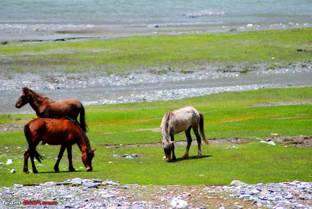
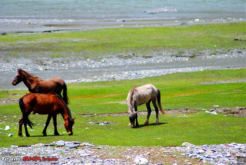
We rested beside the pretty river for a while, clicking the beautiful horses grazing around, which in fact is a common sight in and around the Kashmir valley. Soon it was time to proceed towards Sonmarg.
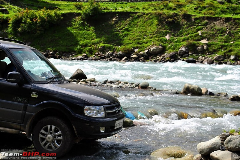
Kiyang posing next to and not actually crossing the river!
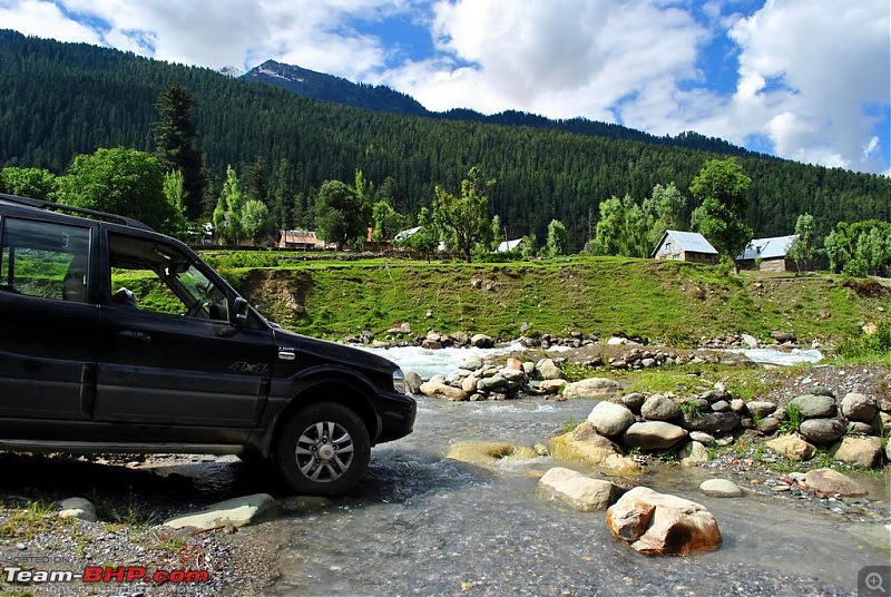
Posing again!
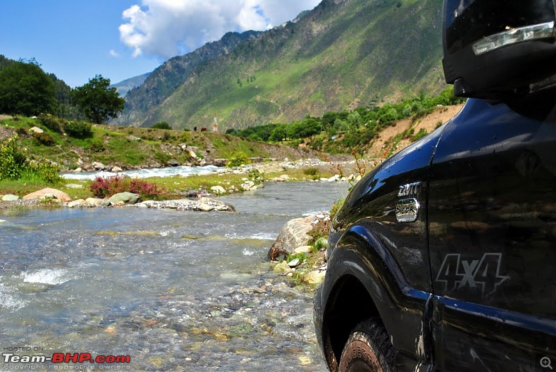
Had to clean the 4x4 sticker before taking this one!

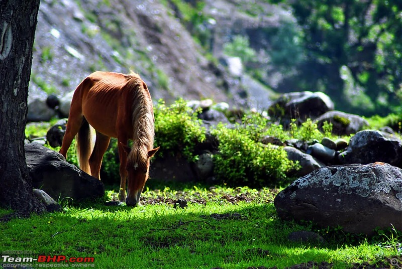
Beautiful horses grazing on green pastures are a common sight in Kashmir
A couple of twists and turns later we reached Sonmarg. And what a sight it was! Lush green hills and meadows all around! However, the sight of a gazillion tourists littering the place with plastic bottles and wrappers put us off and we decided not to stop. We tried to offroad on a hill as well, but were stopped by the locals who conduct horse rides there. According to them, one has to pay a fine of Rs. 500 for off-roading, which was pretty surprising. I remember wondering that if the Ladakh Autonomous Hill Development Council (LAHDC) decided to do the same, a lot of people on BCMT would lose a lot of money!
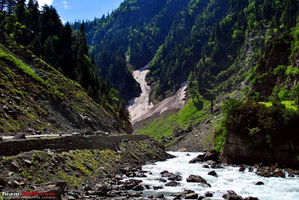
The beautiful Sindh river before Sonmarg
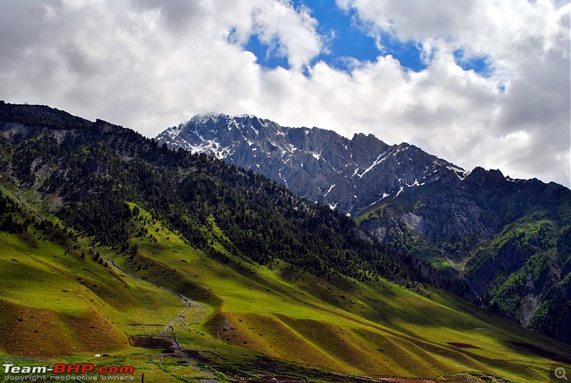
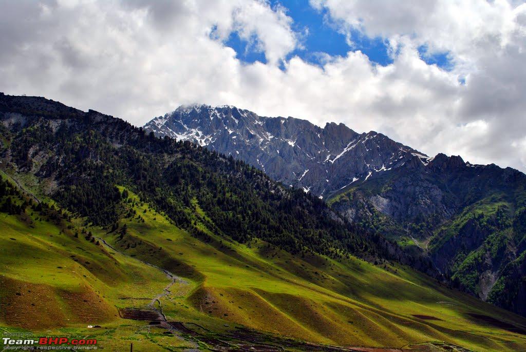
Lush green Sonmarg (and it's not the saturation effect!)
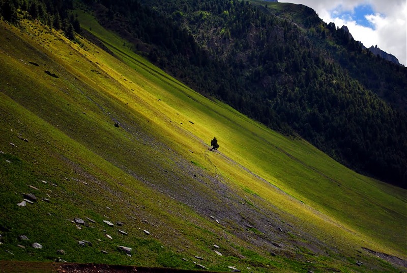
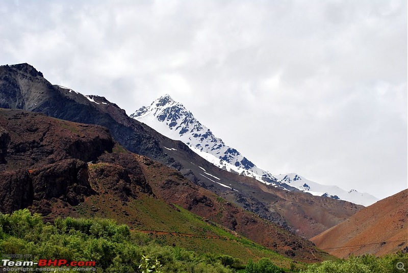
A lone tree on a lush green slope
We then started the dreaded climb to Zoji La. It was quite a bumpy ride, with lots of pot holes on the road. The greenery suddenly vanished and gave way to a landscape of brown and white. We could see a path sticking to the river and running parallel beneath us. We wondered where it went, and it was not long before the tents answered the riddle. It was apparentely the campsite at Baltal from where helicopters take pilgrims and tourists alike to the Amarnath cave.
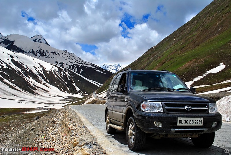
It took us about 1.5 hours to climb the pass from Sonmarg. At last, after 3 solid days of travelling, we were finally on top of a high altitude pass, and were totally enjoying the feeling.
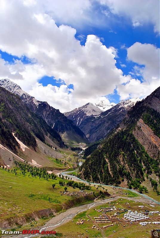
Baltal, base camp for the trek to the Amarnath Cave
The rocky climb to Zoji La
Climbing Zoji La
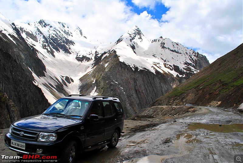
What lay ahead!
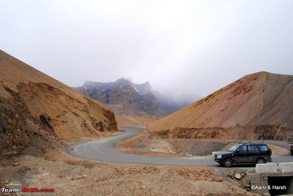
Although the climb to the pass was quite treacherous, the pass itself was interesting and pretty long! The road on the pass was cobbled and in perfect condition. However, that lasted for only about half a km, beyond which the potholes resurfaced. After paying homage to the soldiers of the 1948 war with Pakistan at the war memorial there, we started our descent. That is when we came across the tallest snow walls we'd ever seen in our lives! The biggest one that we'd seen yet was on the way to Spiti last year. But this was mammoth! It must've been close to 25 ft in height, if not more. The road was in a mess, full of craters. I was feeling bad for the Swift Dzire driving ahead of us, as I could hear his underbelly being scratched at plenty of places. I kept my speed at a crawl and negotiated the craters at my own pace, and thankfully no harm was done.
Cobbled roads at the top
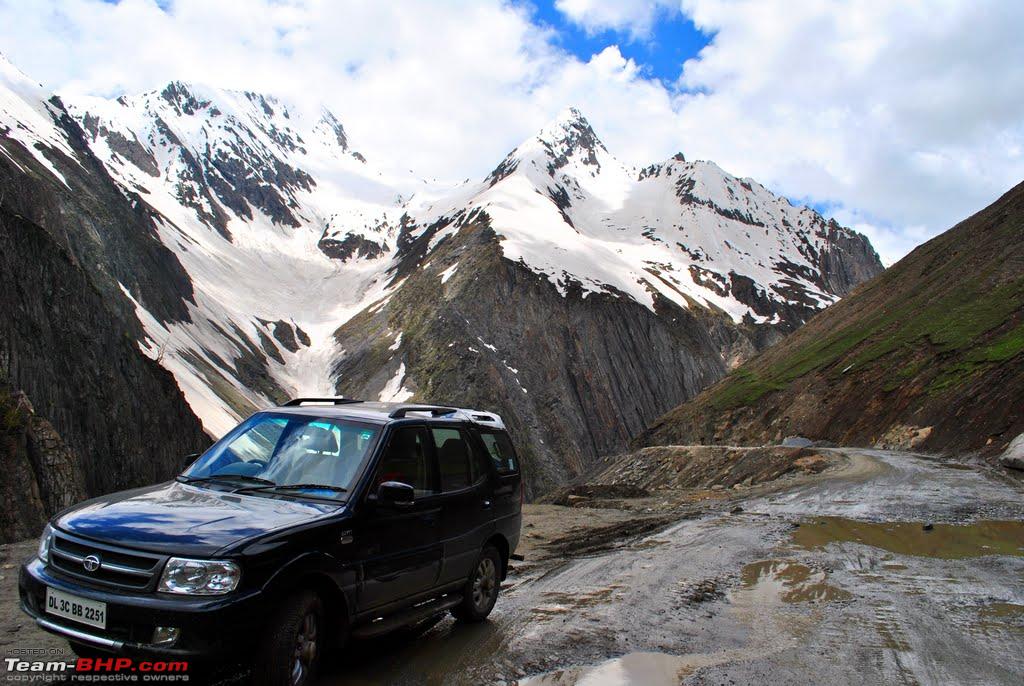
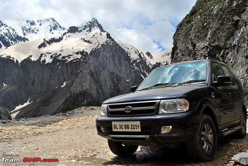
Kiyang at Zoji La
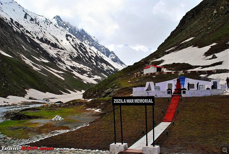
The war memorial at Zoji La
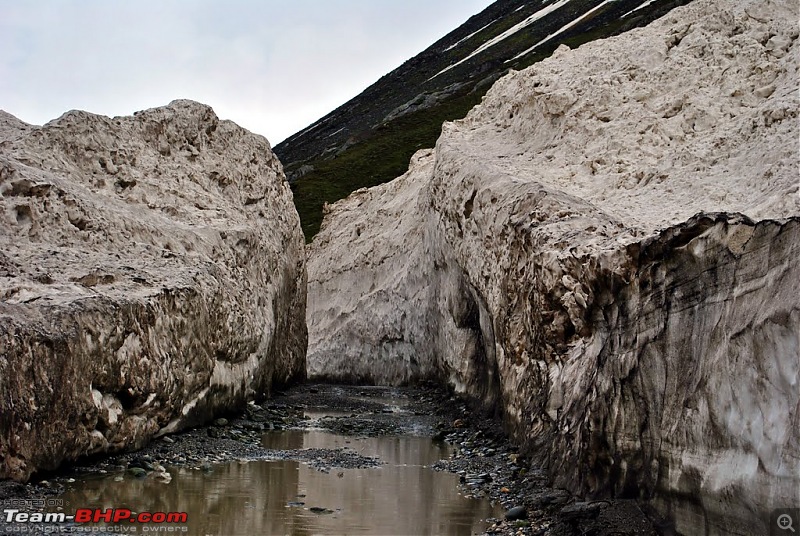
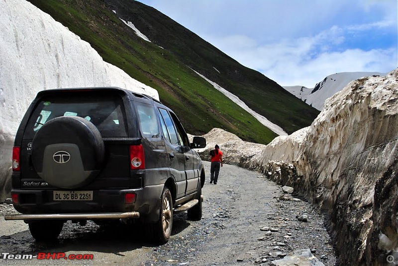
The huge snow walls at Zoji La
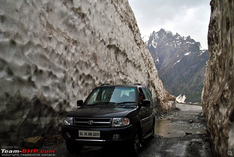
The wall must've been at least 25 ft high! Kudos to the BRO who maintain this road

Kiyang needed a shower after the dirty track
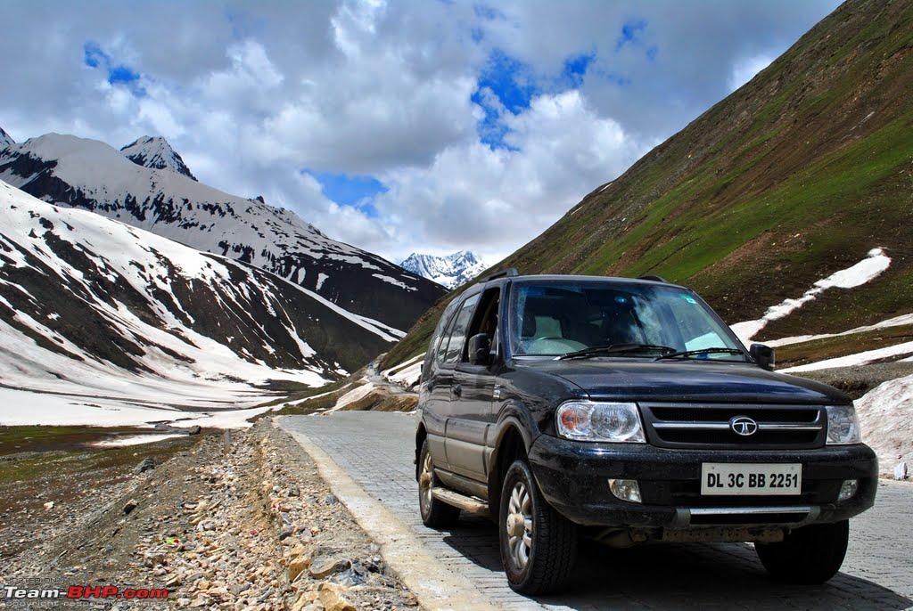
After a while, the descent became easier, with the roads becoming smoother and the valley opening up. The green started to disappear and the scenery started to become more brownish. A couple of bends later, we saw a board pointing to a hill which said 'Tiger Hill'. Since we were the only ones there, and the arrow was pointing to a hill quite close to the national highway, we got a little confused since we were not ready to believe that Pakistan had managed to capture a hill so close to the main highway between Srinagar and Leh. Soon an Army jawan ambled along and he reconfirmed that what we see was indeed the Tiger hill. Although we'd read it in the newspapers, standing there and actually seeing the hill right next to the highway really does send shivers down one's spine. It is very unnerving to realize that our enemy had actually come this close. At that moment, the pride and respect one feels for the Army for having re-captured the Tiger hill cannot be expressed in words!
Told you, these horses are everywhere!
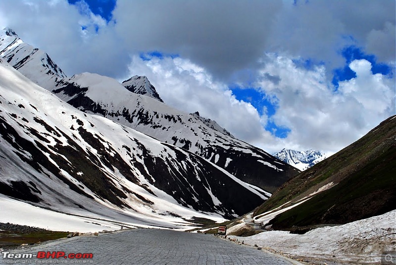
The winding roads relent
These straight roads are a pleasure to drive on!
An unzoomed shot of Tiger hill from the highway
We reached Drass by 2 pm just in time for lunch. As soon as we got down from the car, I saw that the front right tire was losing air pressure! Damn! In no mood to fix the puncture myself, I started searching for a puncture repair shop in the local market. Meanwhile, Aarti gave it a closer look, and by the time I came back, unsuccessful in my attempt to find a puncture repair guy, she'd figured out the source of the puncture. It was quite conveniently located, and we decided to fix it ourselves. We took out the puncture repair kit, and after reading the instruction manual, the tire was repaired in 10 minutes flat. This was my first experience of fixing a puncture myself, and the fact that the tyres are tubeless of course helps a lot. The best part was that we didn't even have to remove the tire! By the time we were through with fixing the puncture, lunch was ready and after a good hearty meal we proceeded further towards the war memorial at Drass.
The war memorial evokes quite a strong feeling of patriotism. One can see the Tiger hill at a distance, and the Tololing range just above. The peaks which the enemy had captured were so very close, and it was obvious that the highway must've been their prime target. The security threat was grave. The peaks looked unscalable, and it was difficult to imagine how our soldiers managed to climb those mountains with the enemy firing at them! The list of lives lost in the war had filled up a huge wall, and the pictures of our troops during operation Vijay threw some light on the adversity faced by them.
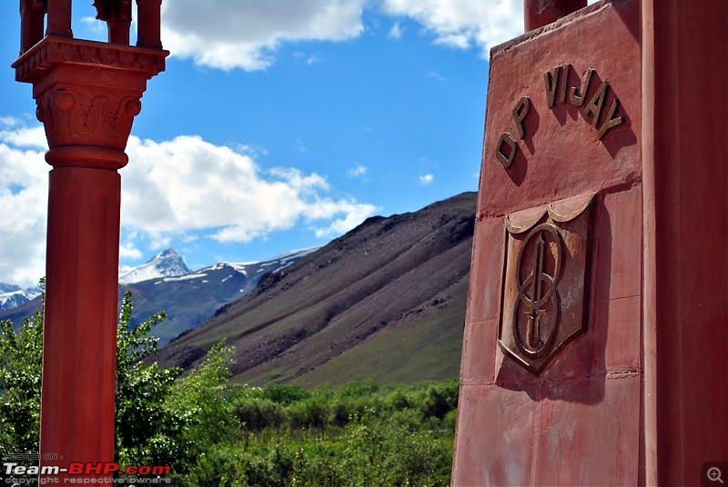
The war Memorial, with Tiger hill in the background
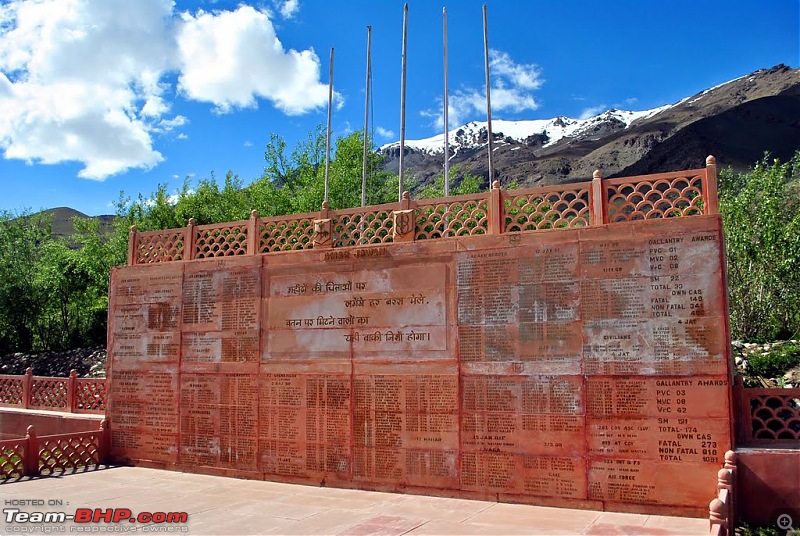
The long list of soldiers who sacrificed their lives in the Kargil war
Soon it was time to leave the memorial and we proceeded towards our final lap of the day. I guess it took us another hour driving along the Suru river to reach Kargil. We checked into the hotel D'Zojila for the night, had our dinner at the main market and called it a day. Tomorrow we would finally reach Leh...
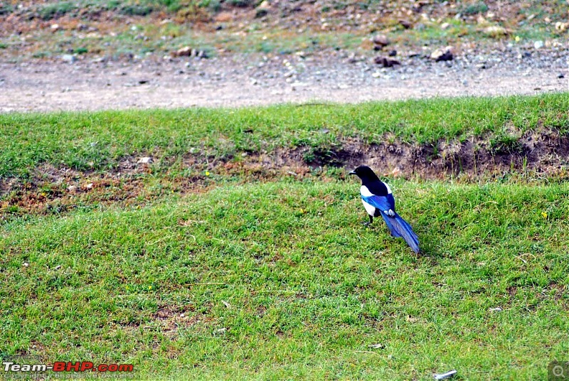
Spent 15 min chasing this bird for a good shot, only to realize later that this is the most common bird in Ladakh!
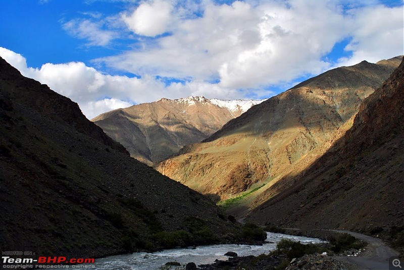
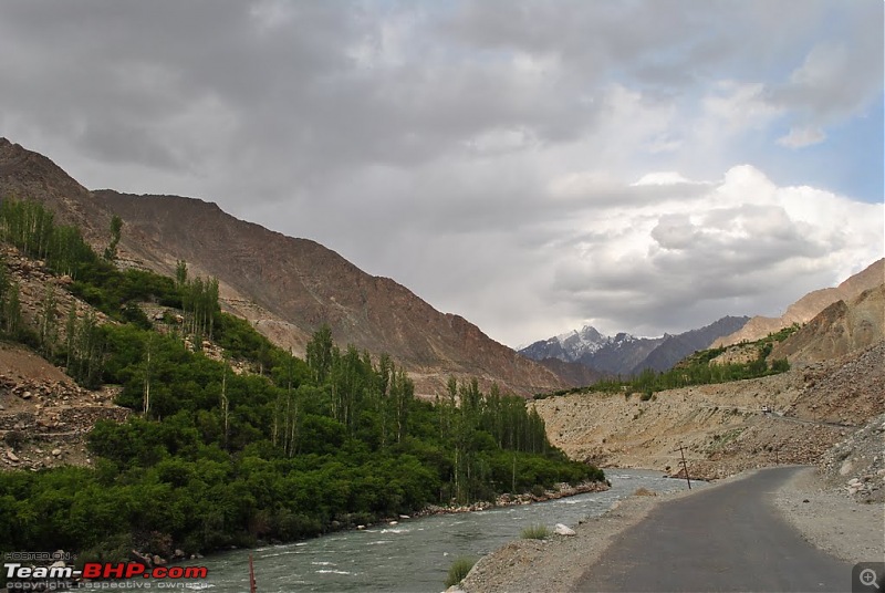
Drive to Kargil along the Suru river
Drive to Kargil along the Suru river
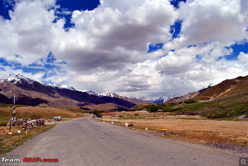
Typical patches of green begins, nearing Kargil town


 17th August 2010, 19:31


 .
.


 (1)
Thanks
(1)
Thanks