Team-BHP > Travelogues > Route / Travel Queries
Register New Topics New Posts Top Thanked Team-BHP FAQ


Reply
  Search this Thread
7,872 views
Old 22nd December 2009, 21:57   #1
BHPian
 
tortoiseNhare's Avatar
 
Join Date: Dec 2008
Location: Guwahati
Posts: 536
Thanked: 90 Times
Info about NH152 (Wikipedia gets it wrong)

A new highway (NH152) is being built (about 80% completed) linking NH31 with Bhutan Border at Ngamlang. The starting point is from Pathsala town in Barpeta district and not Patacharkuchi as stated in various web pages including Wikipedia. There was a gravel road called Kothar Ali linking Pathsala with Ngamlang from ancient times. NH152 is only an upgrade of that road to 2-lane National Highway standard. The highway has a total span of about 38 kilometres to the north from the erstwhile intersection of Kothar Ali with NH31 at Pathsala.

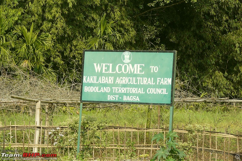
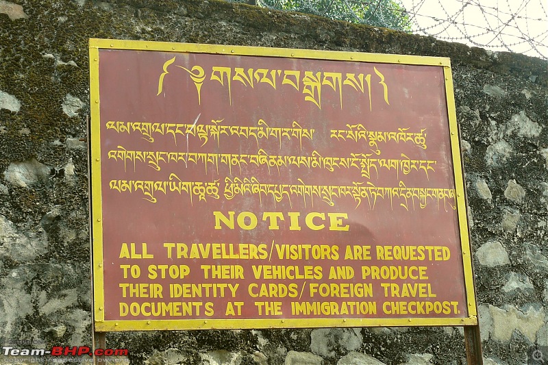
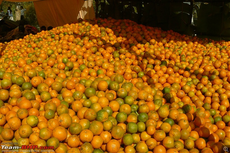
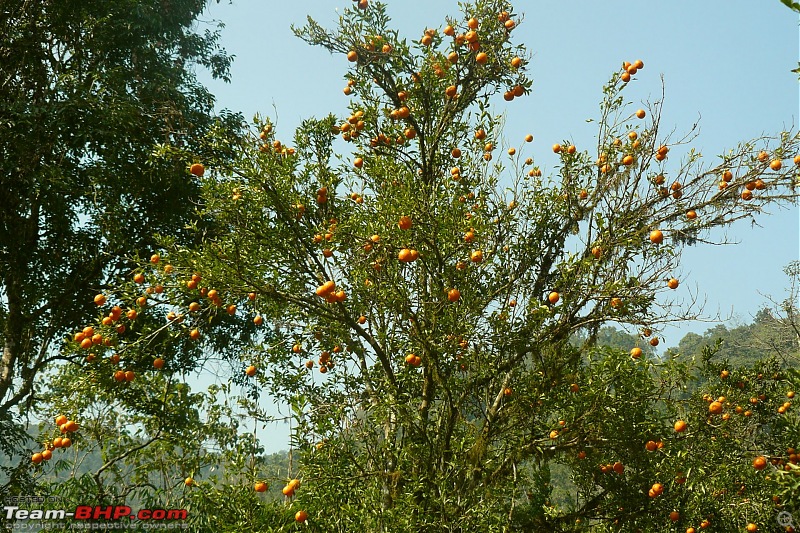
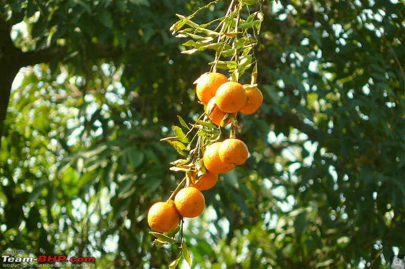
My parents had settled at Pathsala some 30 odd years ago. Our ancestral home is at a village called Barsaderi, 7 kilometres from Pathsala along NH152. I was born at our ancestral home and over the last couple of weeks got to spend some days there due to the demise of my Grandmother. Yesterday I took some time off with family to explore the new highway and ended up visiting an orange orchard well inside Bhutan Territory, which was located some 15 kilometres from the ending point of NH152 at Ngamlang border point. The driving licence and car registration cards were sufficient to get an entry permit from the immigration office. We were advised not to take any photographs inside their territory, possibly because of the presence of a Royal Bhutan Army camp there, which we only partly heeded to.

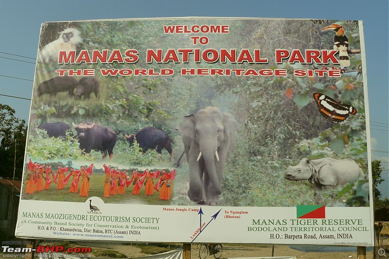
There is a cement factory at Ngamlang. Bhutan govt. had expressed interest in building the road much earlier so as to take advantage of the Pathsala railway station in commercial interest, for exporting cement as well as oranges. On the way one can find some nice places which are yet to be explored by travel buffs and also an alternative route to the Manas National Park.

I'm uploading a few photos taken during the visit. Hope you'll be interested about this highway.

Info about NH152 (Wikipedia gets it wrong)-p1040092.jpg

Info about NH152 (Wikipedia gets it wrong)-p1040096.jpg

Info about NH152 (Wikipedia gets it wrong)-p1040097.jpg

Info about NH152 (Wikipedia gets it wrong)-p1040090.jpg

Info about NH152 (Wikipedia gets it wrong)-p1040099.jpg

Info about NH152 (Wikipedia gets it wrong)-p1040100.jpg

Info about NH152 (Wikipedia gets it wrong)-p1040102.jpg

Info about NH152 (Wikipedia gets it wrong)-p1040103.jpg

Info about NH152 (Wikipedia gets it wrong)-p1040104.jpg

Info about NH152 (Wikipedia gets it wrong)-p1040105.jpg

Info about NH152 (Wikipedia gets it wrong)-p1040108.jpg

Info about NH152 (Wikipedia gets it wrong)-p1040109.jpg

Info about NH152 (Wikipedia gets it wrong)-p1040113.jpg

Info about NH152 (Wikipedia gets it wrong)-p1040114.jpg

Info about NH152 (Wikipedia gets it wrong)-p1040115.jpg

Info about NH152 (Wikipedia gets it wrong)-p1040118.jpg

Info about NH152 (Wikipedia gets it wrong)-p1040122.jpg

Info about NH152 (Wikipedia gets it wrong)-p1040123.jpg

Info about NH152 (Wikipedia gets it wrong)-p1040124.jpg

Info about NH152 (Wikipedia gets it wrong)-p1040131.jpg

Info about NH152 (Wikipedia gets it wrong)-p1040133.jpg

Info about NH152 (Wikipedia gets it wrong)-p1040134.jpg

Info about NH152 (Wikipedia gets it wrong)-p1040136.jpg

Info about NH152 (Wikipedia gets it wrong)-p1040137.jpg

Info about NH152 (Wikipedia gets it wrong)-p1040139.jpg

Info about NH152 (Wikipedia gets it wrong)-p1040148.jpg

Info about NH152 (Wikipedia gets it wrong)-p1040149.jpg

Info about NH152 (Wikipedia gets it wrong)-p1040150.jpg

Info about NH152 (Wikipedia gets it wrong)-p1040152.jpg

Info about NH152 (Wikipedia gets it wrong)-p1040153.jpg
tortoiseNhare is offline   (1) Thanks
Old 22nd December 2009, 22:34   #2
Senior - BHPian
 
hvkumar's Avatar
 
Join Date: Nov 2006
Location: Mumbai
Posts: 7,369
Thanked: 3,454 Times

Interesting! Where does the road go from the Bhutan border? Does it link up with any arterial road inside Bhutan? Is this going to be one of the official entry points into Bhutan - will tourists be admitted through this gate?
hvkumar is offline  
Old 22nd December 2009, 22:46   #3
Senior - BHPian
 
clevermax's Avatar
 
Join Date: Jun 2006
Location: Tvm/Amsterdam
Posts: 2,086
Thanked: 2,640 Times

If something's wrong in wiki, you can always correct it! That's how wiki works afterall.
clevermax is offline  
Old 22nd December 2009, 22:54   #4
BHPian
 
tortoiseNhare's Avatar
 
Join Date: Dec 2008
Location: Guwahati
Posts: 536
Thanked: 90 Times

Quote:
Originally Posted by hvkumar View Post
Interesting! Where does the road go from the Bhutan border? Does it link up with any arterial road inside Bhutan? Is this going to be one of the official entry points into Bhutan - will tourists be admitted through this gate?
There was that gravel road from the Nganglam onward. We didn't travel beyond the orange orchard but asked the person there if one could reach Thimphu taking that road. According to him the road does get to Pemagatsel but he could not tell me whether there was a motorable link with the Samdrup Jonkhar -Trashigang road or not. It seems that for the people of Nganglam taking NH31 from Pathsala makes better sense to travel to Phuentsholing or Samdrup Jonkhar.

I think plans are afoot to make it an entry point into Bhutan, at least for the sake of cement export. Enterprising Bodoland youths are trying to attract tourists for a tour encompassing Manas National Park and Bhutan Border. From Bhutan side however tourism promotional efforts were not seen. Our entry passes were in the form of paper tokens which we had to deposit back at the checkpost at the time of return. We didn't have to pay a single penny to get the permission to enter.

@clevermax
Quote:
If something's wrong in wiki, you can always correct it! That's how wiki works afterall.
You are right. But what can be done about Google Maps etc?


PS. In the first post I have wrongly typed Ngamlang instead of Nganglam. In fact we the locals around Pathsala refer to the place (wrongly) by Namlang.

Last edited by tortoiseNhare : 22nd December 2009 at 23:13.
tortoiseNhare is offline   (1) Thanks
Old 23rd December 2009, 09:35   #5
Senior - BHPian
 
prince_pervez's Avatar
 
Join Date: Dec 2006
Location: Redwood shores, CA, USA
Posts: 4,210
Thanked: 51 Times

Forget whos wrong or goofing up, those pictures are fabulous. The duckings are darn cute. Are there more pictures to come ? Thanks for sharing all that info.
prince_pervez is offline  
Old 23rd December 2009, 12:35   #6
BHPian
 
tortoiseNhare's Avatar
 
Join Date: Dec 2008
Location: Guwahati
Posts: 536
Thanked: 90 Times

Quote:
Originally Posted by prince_pervez View Post
Forget whos wrong or goofing up, those pictures are fabulous. The duckings are darn cute. Are there more pictures to come ? Thanks for sharing all that info.
Thanks Pervez. Since the visit was just a 2-hour quickie, I'm afraid that's about all.
tortoiseNhare is offline  
Old 23rd December 2009, 13:20   #7
BHPian
 
Swordfish's Avatar
 
Join Date: Jun 2008
Location: Hyderabad
Posts: 27
Thanked: 2 Times

damn cute ducklings
the oranges are wow - i would jump on those.
Swordfish is offline  
Old 23rd December 2009, 14:00   #8
BHPian
 
sree70's Avatar
 
Join Date: Oct 2009
Location: bengaluru
Posts: 176
Thanked: 15 Times

Seems you have really enjoyed your exploration. Nice photos.
Yummy oranges! Hope a truck load reaches Bangalore soon.
sree70 is offline  
Old 18th August 2010, 23:58   #9
BHPian
 
San Phrangmung's Avatar
 
Join Date: Aug 2010
Location: Guwahati
Posts: 599
Thanked: 139 Times

Thanks a lot for introduching this road. I will try it out one of these Sundays as long as Bodo areas are open.
San Phrangmung is offline  
Old 19th August 2010, 06:33   #10
Team-BHP Support
 
ampere's Avatar
 
Join Date: Sep 2009
Location: Bangalore
Posts: 17,952
Thanked: 12,939 Times

Thanks for bumping this thread. Did not know about this. Interesting. The road also seems good. Thanks for sharing.
ampere is offline  
Old 19th August 2010, 10:31   #11
BHPian
 
WDM007's Avatar
 
Join Date: Sep 2009
Location: Beaverton, USA
Posts: 236
Thanked: 15 Times

Nice Pics !

One of the pics show a Santro with RED numberplate. Is it govt. vehicle? or vehicle from Bhutan side?
WDM007 is offline  
Old 19th August 2010, 10:43   #12
Senior - BHPian
 
hvkumar's Avatar
 
Join Date: Nov 2006
Location: Mumbai
Posts: 7,369
Thanked: 3,454 Times

Quote:
Originally Posted by WDM007 View Post
Nice Pics !

One of the pics show a Santro with RED numberplate. Is it govt. vehicle? or vehicle from Bhutan side?
In Bhutan, vehicles bear a Red number plate with the prefix BT.
The Santro is a Bhutan-registered car.
Indian cars are very popular in Bhutan, primarily the Alto, Santro, Getz and Swift.
hvkumar is offline  
Old 19th August 2010, 16:07   #13
Team-BHP Support
 
ampere's Avatar
 
Join Date: Sep 2009
Location: Bangalore
Posts: 17,952
Thanked: 12,939 Times

Quote:
Originally Posted by hvkumar View Post
In Bhutan, vehicles bear a Red number plate with the prefix BT.
The Santro is a Bhutan-registered car.
Indian cars are very popular in Bhutan, primarily the Alto, Santro, Getz and Swift.
Nice piece of trivia there HVK sir!
ampere is offline  
Old 20th August 2010, 20:46   #14
BHPian
 
San Phrangmung's Avatar
 
Join Date: Aug 2010
Location: Guwahati
Posts: 599
Thanked: 139 Times

Even in the TTK NE map 152 start point is shown as Patacharkuchi.

How far is it to Pathsala from Baihata and how is road condition. Has the Rangiya and Nalbari by pass compleated.

How long does it usually take to Pathsala from Guwahati in weekdays when road is full.
San Phrangmung is offline  
Old 20th August 2010, 21:08   #15
Senior - BHPian
 
hvkumar's Avatar
 
Join Date: Nov 2006
Location: Mumbai
Posts: 7,369
Thanked: 3,454 Times

Any status update on the EW corridor widening via Rangiya and Nalbari?
hvkumar is offline  
Reply

Most Viewed


Copyright ©2000 - 2024, Team-BHP.com
Proudly powered by E2E Networks