Friends,
As promised, here is my evaluation and initial review of MapMyIndia (MMI) navigation system.
Background: For those who are new to this thread, here is a brief background of the roadmap that lead to this review.
I recently got CASKA HU installed in my ANHC from the Honda Dealer. This CASKA HU comes with MapMyIndia Navigation and this thread talks about the evaluation and review of only the MMI.
Evaluation: Soon after getting the HU installed last Friday, I made a sudden plan to evaluate the MMI by making a trip on Sunday to KRS Dam (Mysore District).
Layman Route - Bangalore -> Mysore Road -> KRS Dam -> Bangalore
Keyed in the location of destination and the GPS was quick enough to identify the same. It has 3 options depending on the setting (Fastest, Shortest, Optimal).
I chose the Optimal route and the MMI gave me the one below:
Onward Route: Outer Ring Road -> BTM -> Banshankari -> SH17 (Mysore Road) -> Srirangapatna ->SH88 -> KRS
Started at 7:30 AM Sunday Morning and was enthralled to see the name of each and every shop (minor, major) on the map right from the lane of my house till the destination.
We were not surprised about the traffic as we knew that the Mysore road would be more busy than other Sundays due to the long weekend and we were prepared for that. We halted for Breakfast at Kaadu Mane aroung 8:45AM that was fully packed and started again at 9:20AM. After reaching Srirangapatna, we took the Right turn as suggested by MMI and hit SH88. The road was patchy but easily drivable at 60-70. We had to slow down at couple of stretches (approx 10ft each) that were really bad but not worst.
We reached the destination at 11:30AM. This was the 1st time for my kids to KRS and they were having a great time enjoying the fountains on a pleasant cloudy and not so hot day.
Unfortunately, they have banned entry to the top of the dam due to the recent Mumbai blasts and that was the only put off for all of us. Nevertheless one could not help it and so we put this at the back of our mind and continued to enjoy our time and make the most of what we get to see.
We spent 2hrs strolling in the Brindavan Gardens and taking pics before we headed back at 1:30PM
I had saved the details of my home under favourites as "
Home". All I had to do was select "
Take me Home" on the MMI and there came our return route.
Return Route: KRS ->SH88->Srirangapatna->SH17(Mysore Road)->NICE Road->Kanakapura RD->Silk Board->Sarjapur RD-> Outer Ring RD->Home
I thought that the MMI would give me the reverse directions but was surprised to see NICE road in its route.

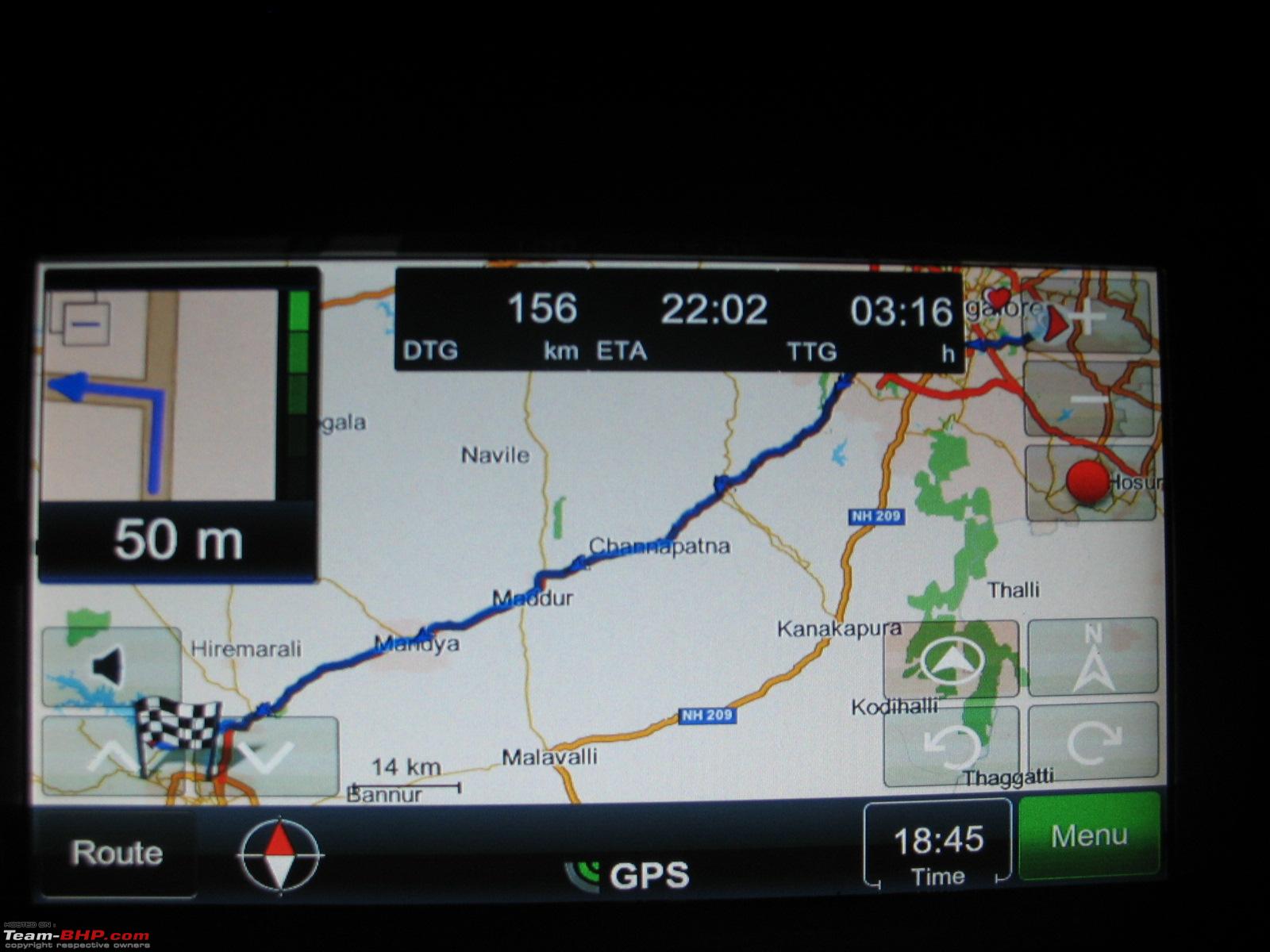
I am still wondering why it did not give me NICE road during our onward journey. It may be because of the traffic pileup during sunday evening it avoided the Banshankari -> BTM -> SilkBoard route that it gave in the morning (Optimal Route setting). Boy I was really glad that it certainly did give me the optimal route.
We stopped for lunch at "Hotel Heritage Shelters" on SH88. The ambience and food was really good. We had Butter Nan/Kulcha/Roti, Paneer Butter Masala, Butter Milk, Mushroom Pepper Dry and it was indeed yummy. We started again at 2:45PM and reached home at 6:05PM.
Remarks:
The MMI is damn good with upto date information (version 6.1) and it is quick, reliable and accurate. It shows us each and every Galli (lane) along with its name.
The GPS signal was very strong with all the indicators showing green through out the trip even though it was cloudy.
Summary:
MMI Version - 6.1
Signal - Strong
Accuracy - 100% (100% is for this route. I still want to do more routes before really giving an outright cent percent)
User Friendlyness Rating (1-10) - 9
Overall Rating (1-10) - 9
Appreciate your comments and feedback
Please have a look at some of the pics of MMI along with Pics of KRS and the hotel where we stopped over for lunch
MMI Initial Screen
MMI Version
Showing Current Location:
Route Summary:
Route while on the move:
Route Features and Options 01:
Route Features and Options 02:
Route Maneuvers Screen:
KRS 01
KRS 02
KRS 03
KRS 04
Heritage Shelters
