Quote:
Originally Posted by androdev I will be exiting NICE road to join Mysore road - though I haven't taken this route in a long time. At what point (coming from Bangalore) will I enter the "expressway"? And at what point should I exit the expressway to enter Srirangapatna to reach railway station area? I tried to check google maps but it wasn't easy to differentiate between service road vs express way. |
The "expressway" ramp starts just infront of ICFAI business school, just before Rajarajeshwari Hospital & Medical College, after Kadamba Hotel, about 3/4 of a km after NICE road.
The exit to Srirangapatna was not marked and I missed the exit. Since I expected signage for the exit to be installed I had not used Google Maps. My reccomendation is to use Google Maps to get the exit. Caveat being like you mentioned, Google Maps is still confused as to which part is the service road and which part is the highway. On multiple occasions it directed us to the service road instead of the "expressway". My suggestion is to keep Google Maps on just as an indicator/warning and then rely on your judgement to exit the expressway.
Quote:
Originally Posted by nirmaljusdoit
Pros :
Cons :
|
Travelled from Bangalore to Mysore and back the week of Feb 7-10, 2023.
I echo Nirmal's thoughts 100%
I take issue with primarily three points:
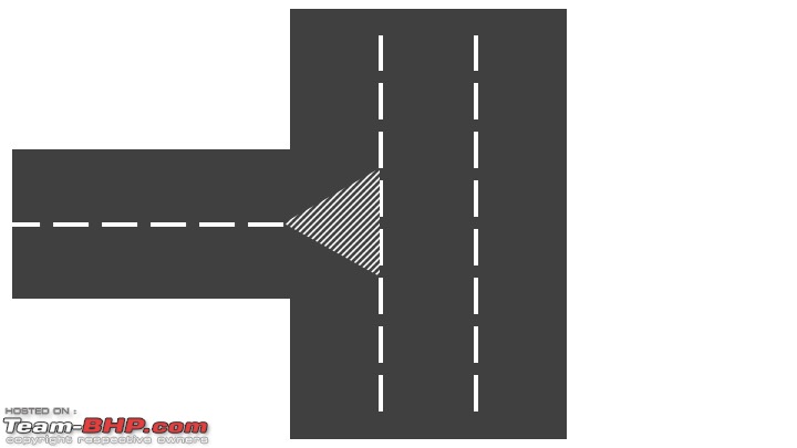
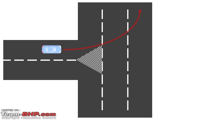
- Exits and On-Ramps: The design is not just horrible, but plain dangerous. Feeder roads join the expressway perpendicularly and as such just dump their traffic on. Traffic then in typical callous fashion proceeds across the highway at near perpendicular angle to join the fast lane. See the diagram below:


- Terrible signage placement: The exit signage for Bidadi for example is placed AT the exit. I observed many vehicles braking suddenly (including skidding) and then reversing to take the exit simply because the signage was placed AT the exit and didn't give them enough forewarning to be able to plan and slow down for the exit. Similar dangerous placement of the signage all along.
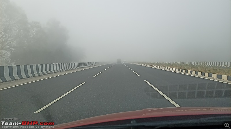
- The span of the bridge sections are extremely short, and the gap between the expansion joints large, making the ride bumpy. Most sections also change direction acutely which coupled with the bumpy section and suddenly narrowing from 3 to ~2.5 lanes is a recipe for people to lose control of their vehicles.
___________________
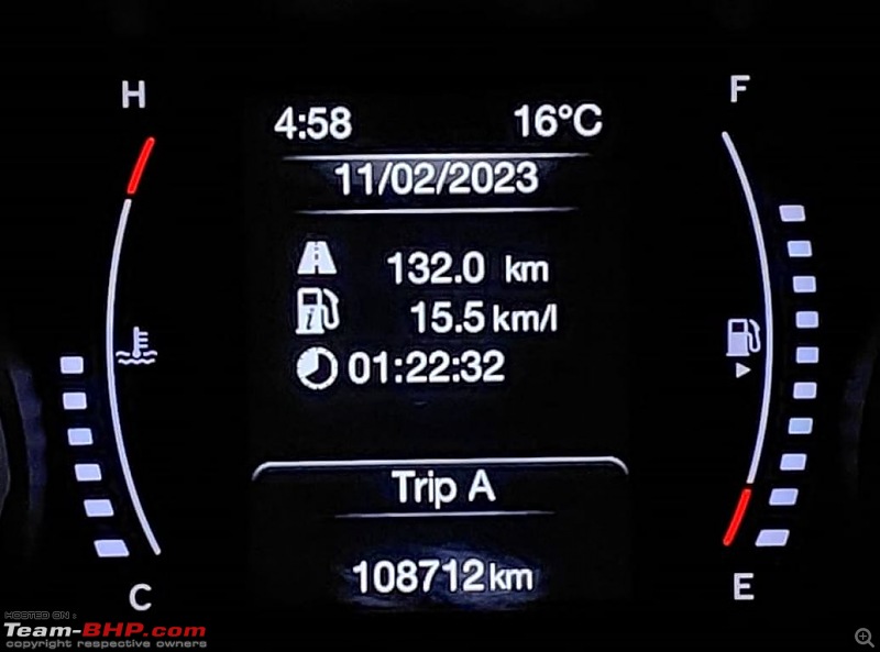
Journey from Bangalore Nice Road Junction to Manipal Hospital (erstwhile Columbia Asia) took me about 1.5 hrs on a Tuesday afternoon (entered expressway at 11:25 am, exited near Mysore at 12:53 a.m.).
Joruney back to Bangalore between those same checkpoints took again 1.5 hrs, discounting the 1 hr stuck in traffic at Budanoor as reported by above by HTC.
____________________
The expressway while time and fuel efficient has also robbed us of the charm of travelling between Bangalore and Mysore.
I used to enjoy the changing landscapes between Bangalore and Mysore, the towns that we passed, stopping for breakfast at Kamat Lokaruchi in Ramnagara and watching the Mulberry farms as we drive past, stopping for Vada in Maddur, watching and occasionally stopping by for toys & figurines in Channapatna, the sugarcane (juice) in Mandya, and the tender coconuts around Srirangapatna and Mysore. I missed the signboards that heralded these places, Welcome to Silk City Ramnagara, Welcome to Toy City Channapatna, Welcome to Sugar City Mandya, these now seem of an era gone past.
The expressway seems clinical, it feels like a portal between two places, more akin to flying, you are transported from one place to the next in barely an instant with no care or idea of the lands that you have passed, the rich culture, tradition lost.
While I may pine nostalgic, I do not long for the rowdy traffic in Channapatna, the blockades, and traffic jams in Mandya, or the 3 hours or 4+ hours on weekends that it took to travel between Bangalore and Mysore.